Fish Passage Site 20501489
Coordinates (dec. deg.): 62.47121°, -150.72270°
Legal Description: S028N008W34
Region: South Central
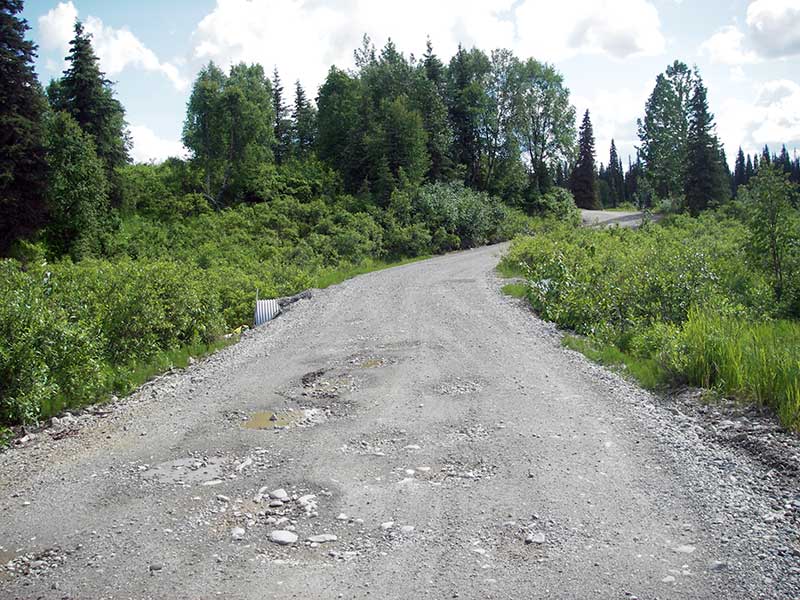
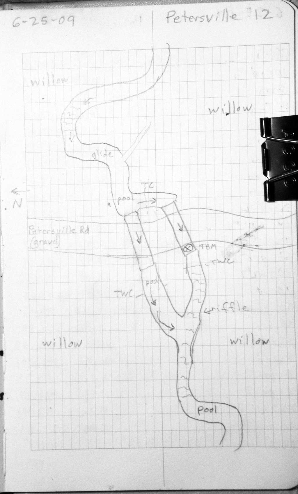
Road Name: Petersville Road
Datum: WGS84
Quad Name / ITM: Talkeetna B-2
AWC Stream #:
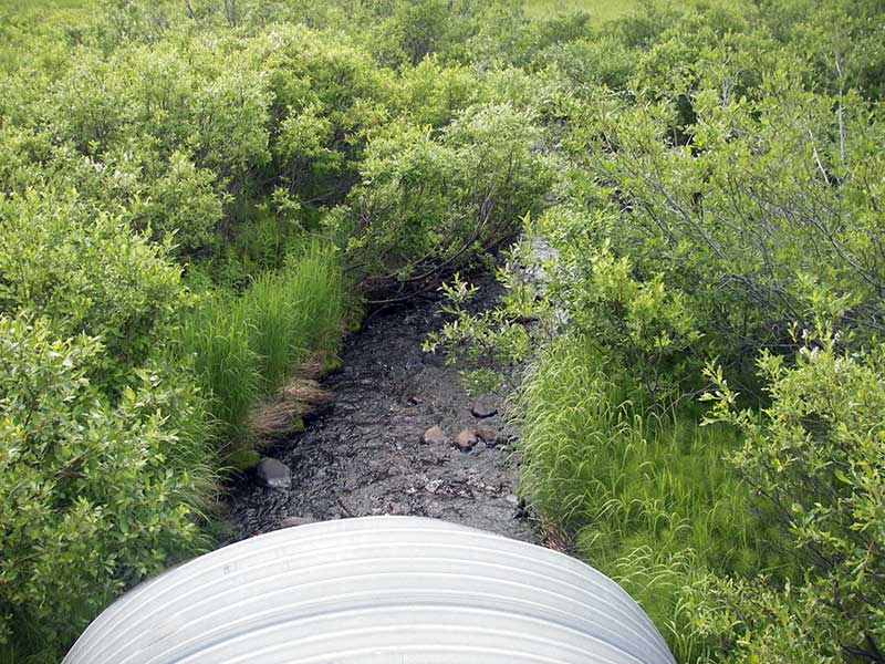
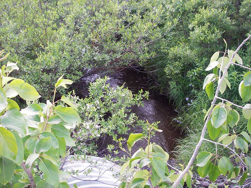
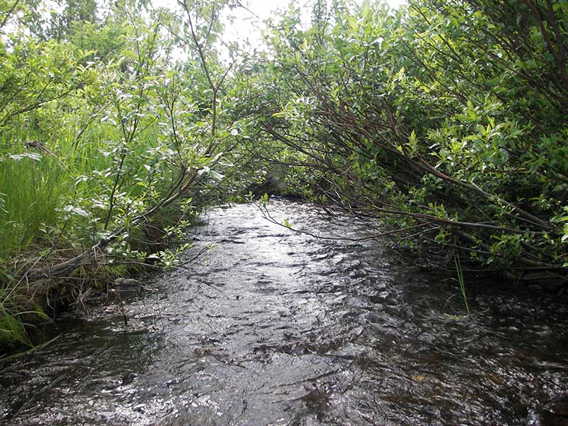
Stream Name: Peters Creek tributary
Elevation:
Site Comments: None
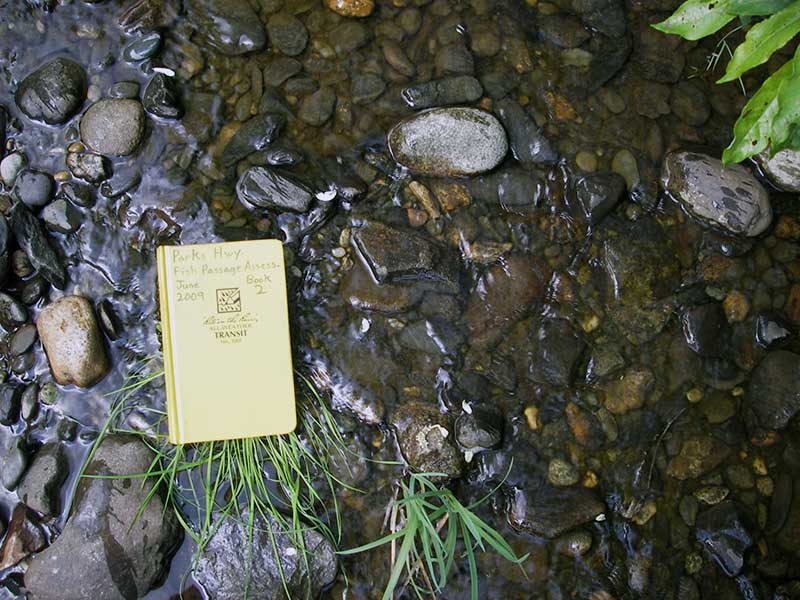
Survey PRK09-PVR12
Project Supervisor: Gillian O'Doherty, ADFG
Observers: Heidi Zimmer, Ben Histand
Overall Fish Passage Rating:
Tidal: No
Backwatered: No
Step Pools: No
Construction Year:
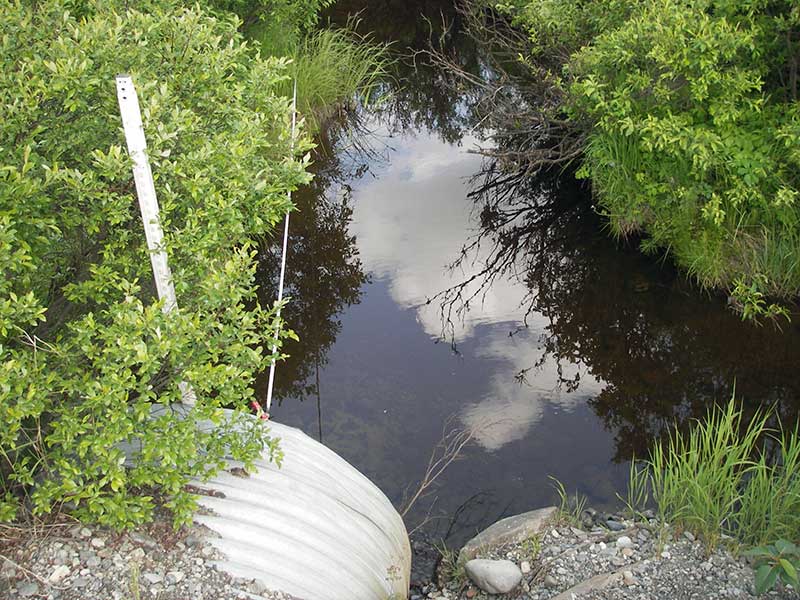
Site Observations:
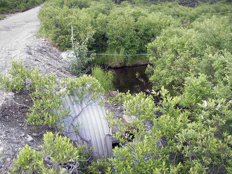
- Culvert gradient red
- Outfall height gray
- Shallow fill; inadequate roadfill volume above culvert
- Culvert is poorly aligned
Comments: None
Culvert Measurements
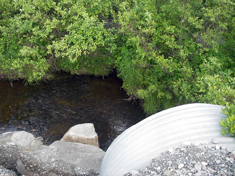
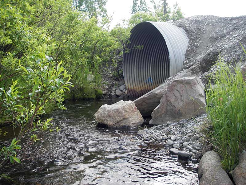
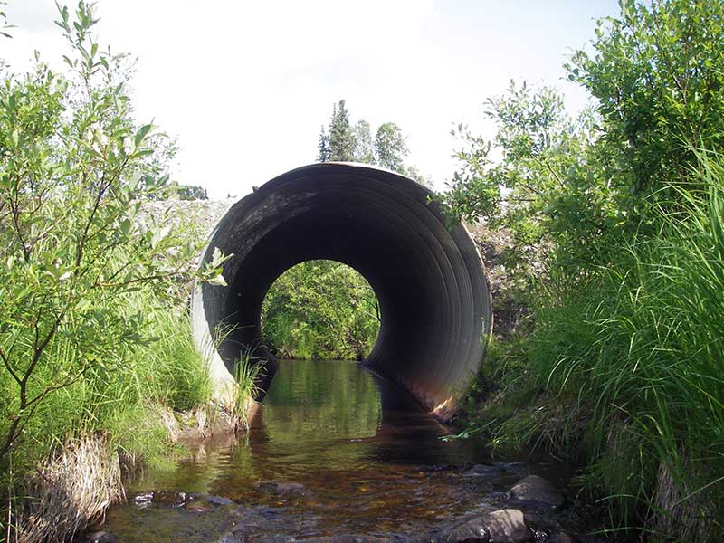
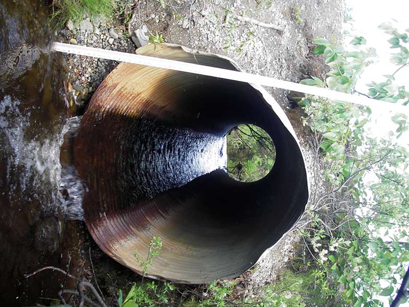
| ID: 1 | Structure Type: Circular pipe (Corrugated steel) | Fish Passage Rating: | |||||||||||||||||||||||||||||||||||||||||
|
|
|
|||||||||||||||||||||||||||||||||||||||||
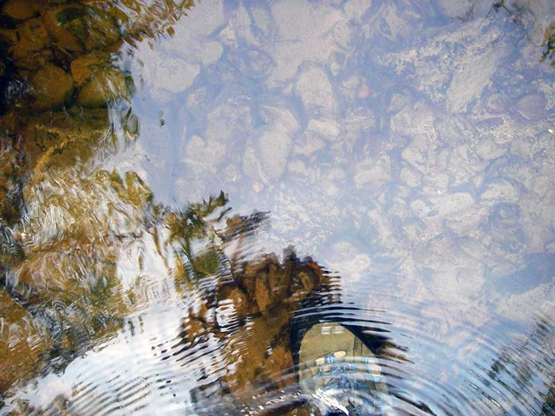
Comments: 4cm fish obs swimming u/s in pipe 1 |
|||||||||||||||||||||||||||||||||||||||||||
Culvert Observations:
|
|||||||||||||||||||||||||||||||||||||||||||
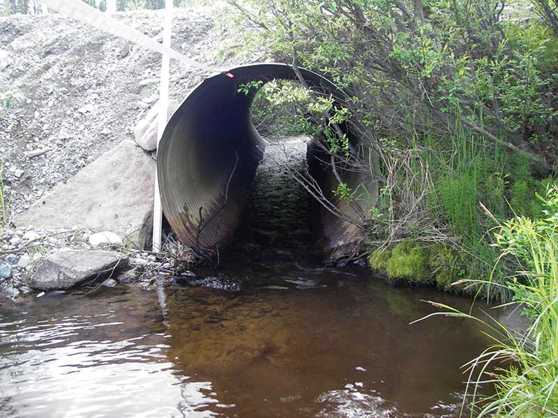
| ID: 2 | Structure Type: Circular pipe (Corrugated steel) | Fish Passage Rating: | |||||||||||||||||||||||||||||||||||||||||
|
|
|
|||||||||||||||||||||||||||||||||||||||||
Culvert Observations:
|
|||||||||||||||||||||||||||||||||||||||||||
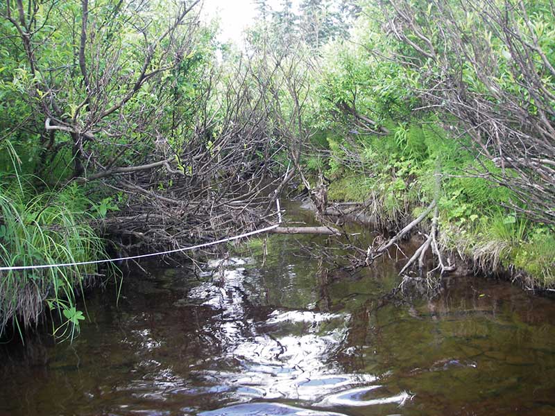
Stream Measurements
|
|
| Stream Width Type | Distance From Crossing (ft) |
Stream Width (ft) |
|---|---|---|
| Upstream ordinary high water | 106.0 | 9.00 |
| Upstream ordinary high water | 139.0 | 8.00 |
| Upstream ordinary high water | 166.0 | 9.00 |
Elevations
| Locator ID | Culvert Number |
River Distance (ft)1 |
Distance From Crossing (ft)2 |
Relative Elevation (ft) |
|---|---|---|---|---|
| Outlet Pool Water Elev (out pool surface) | 2 | 92.81 | ||
| U/S Headwater | 1 | 93.67 | ||
| Outlet Pool Water Elev | 1 | 93.67 | ||
| U/S Headwater | 2 | 93.71 | ||
| D/S Grade Ctrl (Thalweg) (2nd GP d/s, measured from pipe 1) | 0.00 | 93.0 | 91.46 | |
| D/S Water Surface Elev (WS @ GP) | 0.00 | 93.0 | 91.99 | |
| D/S Water Surface Elev (WS @ TC) | 1 | 79.00 | 14.0 | 93.83 |
| D/S Water Surface Elev (WS @ TWC) | 2 | 80.50 | 12.5 | 92.81 |
| D/S Tailcrest or 1st Thalweg | 2 | 80.50 | 12.5 | 92.44 |
| D/S Tailcrest or 1st Thalweg | 1 | 86.00 | 7.0 | 93.22 |
| D/S Water Surface Elev (WS @ TWC) | 1 | 86.00 | 7.0 | 93.65 |
| D/S Thalweg | 1 | 88.00 | 5.0 | 93.19 |
| D/S Thalweg (bottom of out pool) | 2 | 89.00 | 4.0 | 91.83 |
| D/S Water Surface Elev | 2 | 90.70 | 2.3 | 93.85 |
| D/S Thalweg (streambed @ end of pipe) | 2 | 93.00 | 0.0 | 92.34 |
| Outlet Invert | 2 | 93.00 | 0.0 | 92.68 |
| Outlet Invert | 1 | 93.00 | 0.0 | 92.89 |
| Road Elev | 108.00 | 100.31 | ||
| Inlet Culvert Invert | 2 | 123.00 | 0.0 | 93.33 |
| Inlet Culvert Invert | 1 | 123.00 | 0.0 | 92.77 |
| U/S Grade Ctrl (Thalweg) (1st TC u/s pipe 2) | 2 | 125.30 | 2.3 | 93.54 |
| U/S Grade Ctrl (Thalweg) (1st TC u/s pipe 1) | 1 | 137.00 | 14.0 | 93.50 |
Notes:
- River distance is measured continuously throughout the survey reach along the thalweg of the stream.
- Measured from each end of the crossing along the thalweg of the stream.
Fish Sampling Efforts
| Gear Type: Visual Observation, Ground (A) | ||
| Comments: Juvenile fish observed upstream. | ||
Fish Observations
No fish observations occurred during this survey.
Photos
Questions or comments about this report can be directed to dfg.dsf.webmaster@alaska.gov