Fish Passage Site 20501485
Coordinates (dec. deg.): 62.31997°, -150.46295°
Legal Description: S026N006W30
Region: South Central
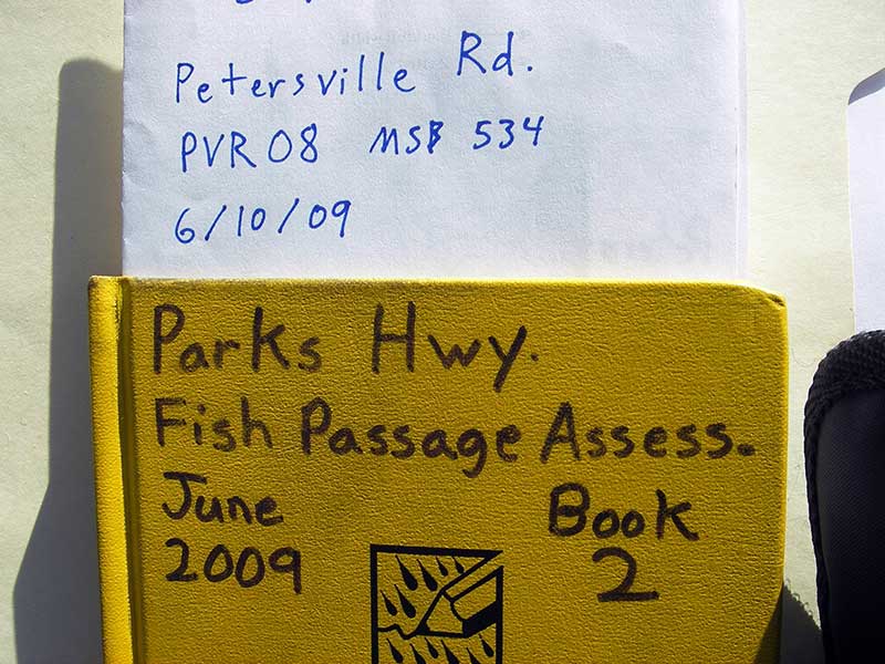
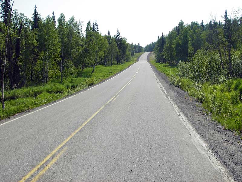
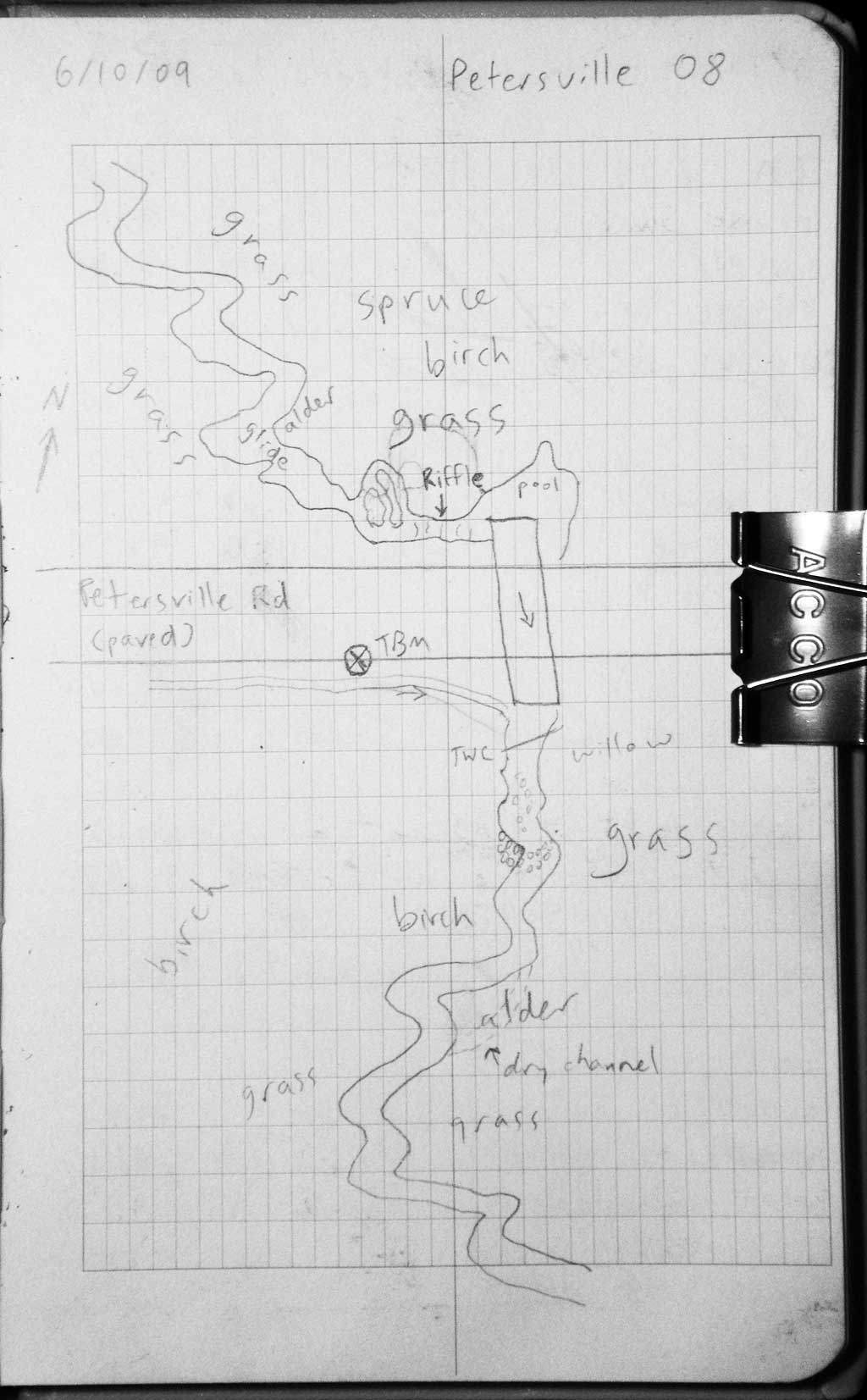
Road Name: Petersville Road
Datum: WGS84
Quad Name / ITM: Talkeetna B-1
AWC Stream #:
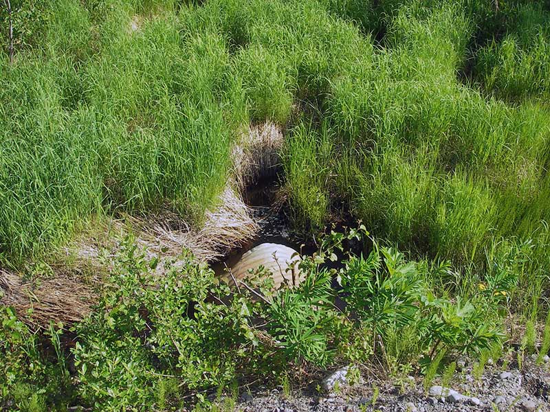
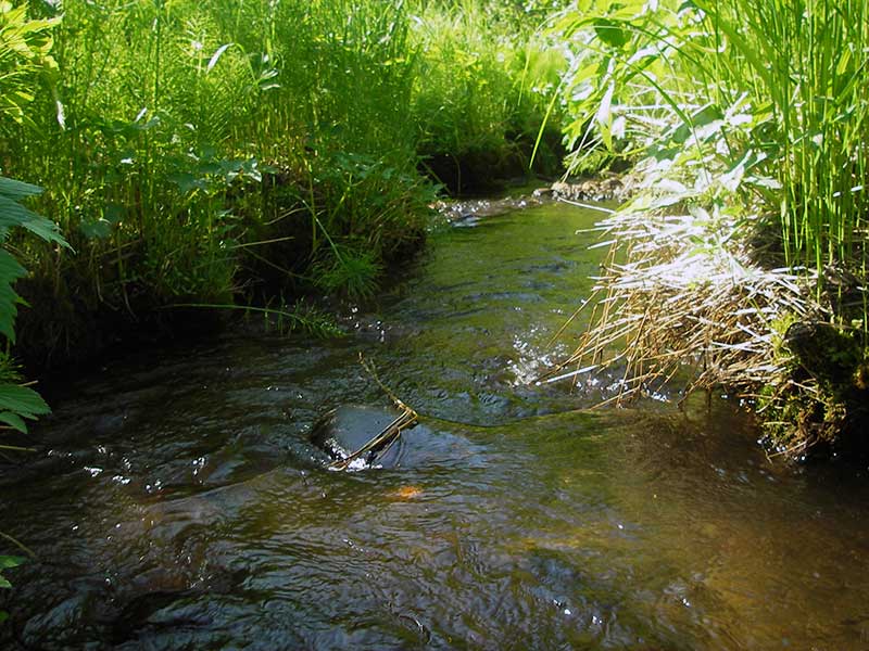
Stream Name: Moose Creek tributary
Elevation:
Site Comments: MP 7.6
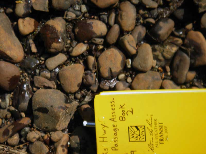
Survey PRK09-PVR08
Project Supervisor: Gillian O'Doherty, ADFG
Observers: Ben Histand, Heidi Zimmer
Overall Fish Passage Rating:
Tidal: No
Backwatered: No
Step Pools: No
Construction Year:
Site Observations:
- Constriction ratio red
- Compound gradient in pipe
- Mechanical damage or joints parting
- Culvert gradient red
- Hydraulic flows exceeded capacity
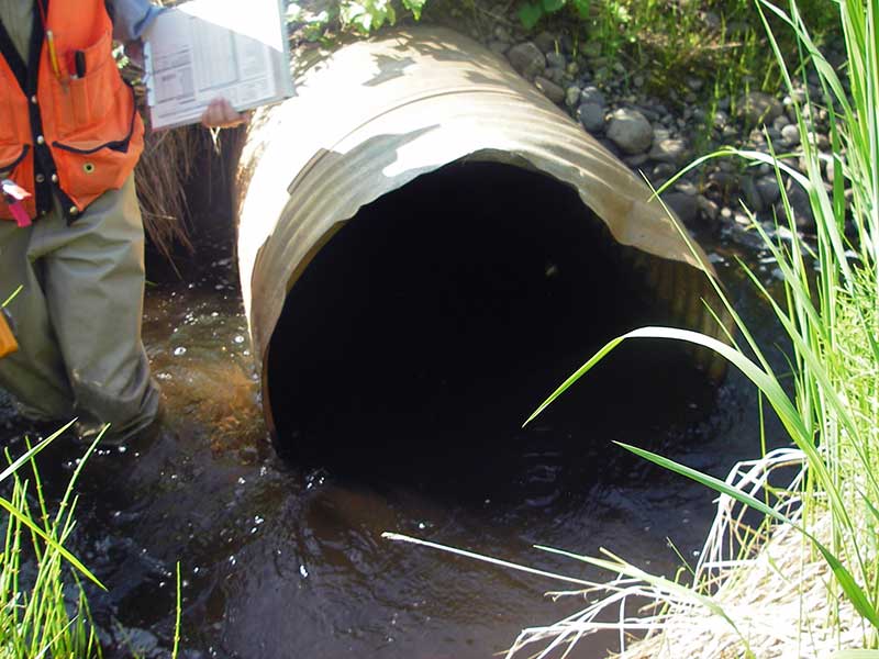
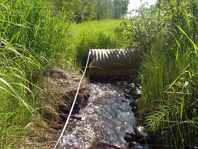
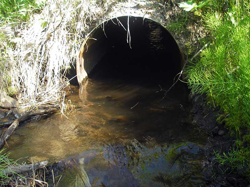
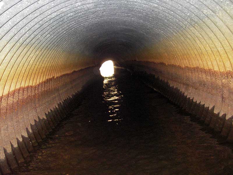
Comments: TWC > both inverts, but pipe is bowed up in the middle. High pt. in pipe > TWC so not BW. Slope upper pipe -1.9%.
Culvert Measurements
| ID: 1 | Structure Type: Circular pipe (Corrugated steel) | Fish Passage Rating: | |||||||||||||||||||||||||||||||||||||||||
|
|
|
|||||||||||||||||||||||||||||||||||||||||
Comments: Pipe is bowed upwards in middle. |
|||||||||||||||||||||||||||||||||||||||||||
Culvert Observations:
|
|||||||||||||||||||||||||||||||||||||||||||
Stream Measurements
|
|
| Stream Width Type | Distance From Crossing (ft) |
Stream Width (ft) |
|---|---|---|
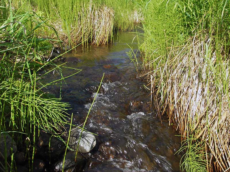
| Upstream ordinary high water | 93.0 | 7.50 |
| Upstream ordinary high water | 135.0 | 7.00 |
| Upstream ordinary high water | 170.0 | 8.00 |
Elevations
| Locator ID | Culvert Number |
River Distance (ft)1 |
Distance From Crossing (ft)2 |
Relative Elevation (ft) |
|---|---|---|---|---|
| Outlet Pool Water Elev | 1 | 92.07 | ||
| U/S Headwater | 1 | 92.13 | ||
| D/S Water Surface Elev (WS at GP) | 1 | 0.00 | 23.0 | 91.78 |
| D/S Grade Ctrl (Thalweg) | 1 | 0.00 | 23.0 | 91.44 |
| D/S Tailcrest or 1st Thalweg | 1 | 19.00 | 4.0 | 91.50 |
| D/S Water Surface Elev (WS at TWC) | 1 | 19.00 | 4.0 | 92.06 |
| Outlet Invert | 1 | 23.00 | 0.0 | 90.92 |
| D/S Thalweg (high pt. inside pipe 20.6' u/s outlet) | 1 | 43.60 | -20.6 | 91.59 |
| Road Elev | 1 | 49.00 | 99.72 | |
| Inlet Culvert Invert | 1 | 75.00 | 0.0 | 90.99 |
| U/S Thalweg | 1 | 75.00 | 0.0 | 90.32 |
Notes:
- River distance is measured continuously throughout the survey reach along the thalweg of the stream.
- Measured from each end of the crossing along the thalweg of the stream.
Fish Sampling Efforts
No fish sampling occurred during this survey.
Fish Observations
No fish observations occurred during this survey.
Photos
Questions or comments about this report can be directed to dfg.dsf.webmaster@alaska.gov