Fish Passage Site 20501483
Coordinates (dec. deg.): 62.31097°, -150.37393°
Legal Description: S026N006W27
Region: South Central
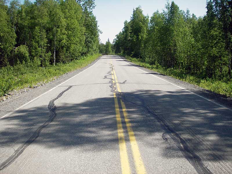
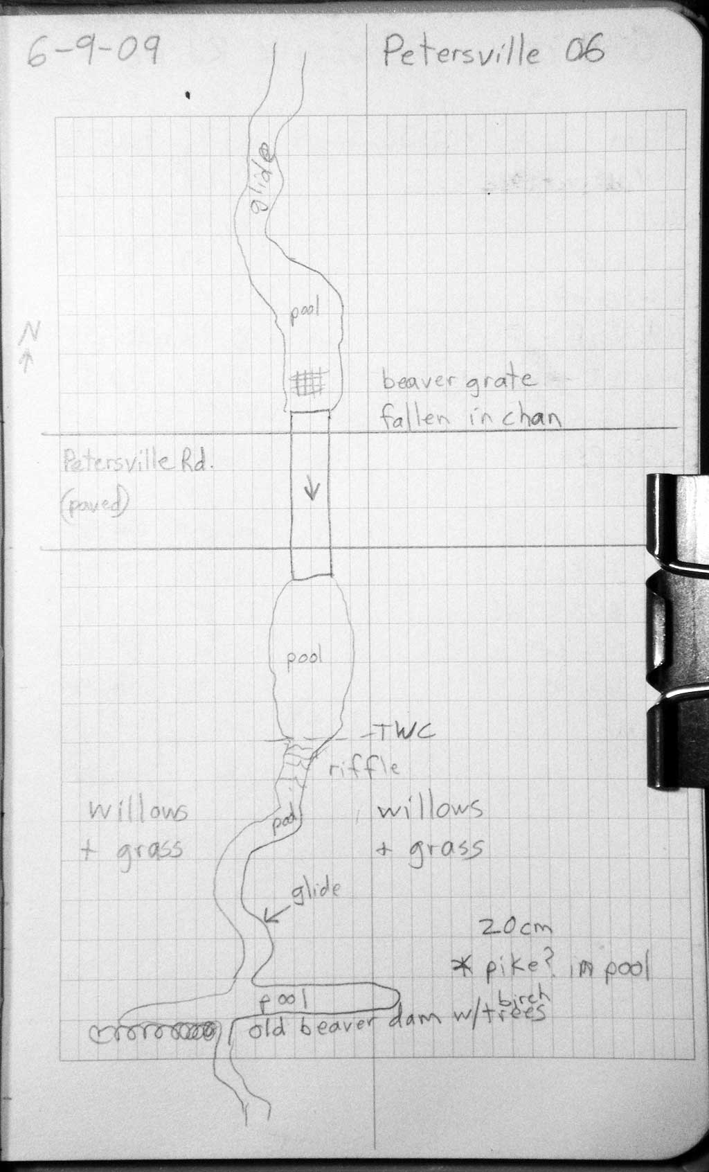
Road Name: Petersville Road
Datum: WGS84
Quad Name / ITM: Talkeetna B-1
AWC Stream #:
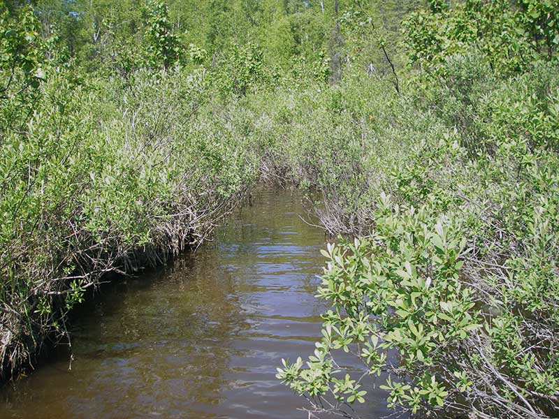
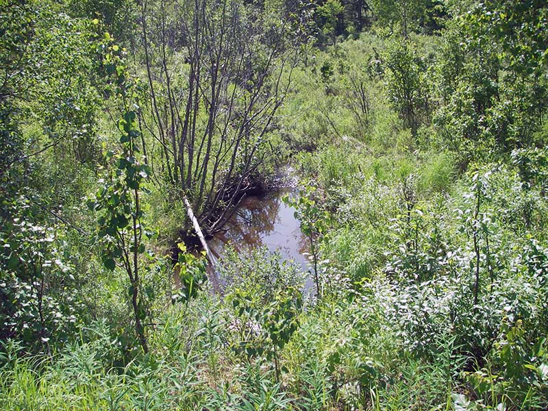
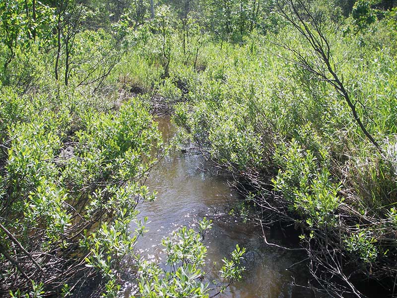
Stream Name: Ninemile Creek tributary
Elevation:
Site Comments: None
Survey PRK09-PVR06
Project Supervisor: Gillian O'Doherty, ADFG
Observers: Heidi Zimmer, Ben Histand
Overall Fish Passage Rating:
Tidal: No
Backwatered: No
Step Pools:
Construction Year:
Site Observations:
- Constriction ratio red
- Hydraulic flows exceeded capacity
Comments: Fish obs in d/s pools: 15 cm sculpin, 20 cm pike, several juv salmonids 5-10 cm. No traps set sight was FWScaptured fish upstream in 2008.
Culvert Measurements
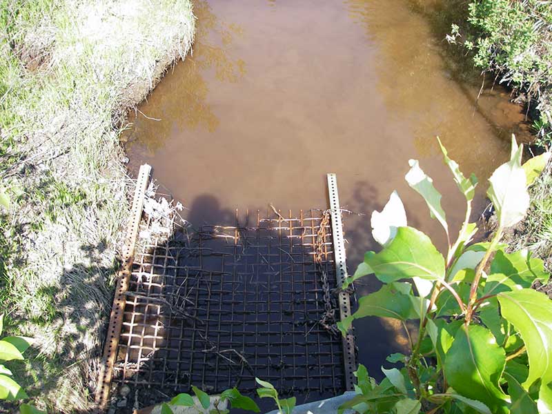
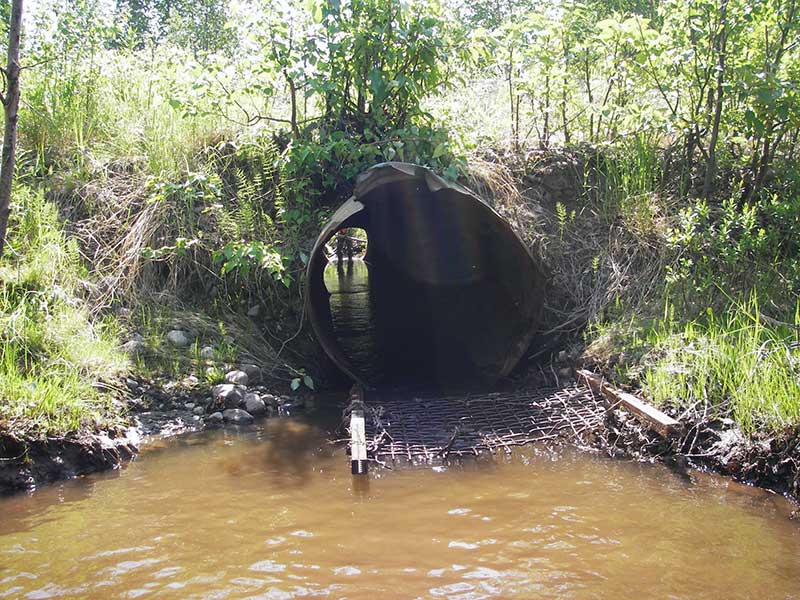
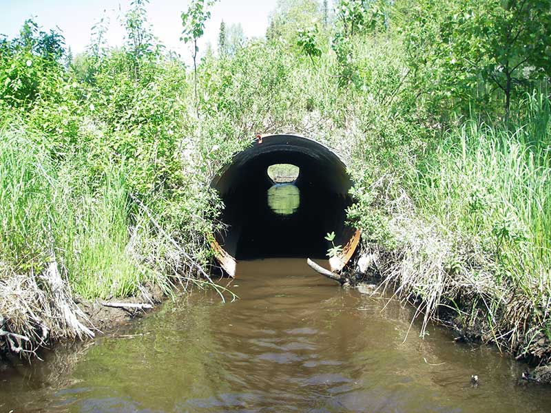
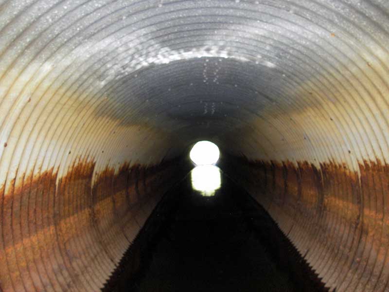
| ID: 1 | Structure Type: Circular pipe (Corrugated steel) | Fish Passage Rating: | |||||||||||||||||||||||||||||||||||||||||
|
|
|
|||||||||||||||||||||||||||||||||||||||||
Culvert Observations:
|
|||||||||||||||||||||||||||||||||||||||||||
Stream Measurements
|
|
| Stream Width Type | Distance From Crossing (ft) |
Stream Width (ft) |
|---|---|---|
| Upstream ordinary high water | 55.0 | 8.50 |
| Upstream ordinary high water | 80.0 | 8.50 |
| Upstream ordinary high water | 125.0 | 9.50 |
Elevations
| Locator ID | Culvert Number |
River Distance (ft)1 |
Distance From Crossing (ft)2 |
Relative Elevation (ft) |
|---|---|---|---|---|
| Outlet Pool Water Elev | 1 | 91.27 | ||
| U/S Headwater | 1 | 91.41 | ||
| D/S Grade Ctrl (Thalweg) | 1 | 0.00 | 53.0 | 89.87 |
| D/S Water Surface Elev (ws at gp) | 1 | 0.00 | 53.0 | 91.01 |
| D/S Tailcrest or 1st Thalweg | 1 | 26.00 | 27.0 | 90.95 |
| D/S Water Surface Elev (ws at twc) | 1 | 26.00 | 27.0 | 91.26 |
| D/S Thalweg (bottom of pool) | 1 | 39.20 | 13.8 | 89.34 |
| D/S Thalweg | 1 | 48.00 | 5.0 | 90.18 |
| D/S Water Surface Elev (ws at gp) | 1 | 50.00 | 3.0 | 91.57 |
| D/S Thalweg (stream bed end of pipe) | 1 | 53.00 | 0.0 | 90.59 |
| Outlet Invert | 1 | 53.00 | 0.0 | 90.88 |
| Road Elev (u/s edge of pavement) | 1 | 85.00 | 99.55 | |
| Inlet Culvert Invert | 1 | 117.00 | 0.0 | 91.10 |
| U/S Grade Ctrl (Thalweg) | 1 | 120.00 | 3.0 | 90.89 |
Notes:
- River distance is measured continuously throughout the survey reach along the thalweg of the stream.
- Measured from each end of the crossing along the thalweg of the stream.
Fish Sampling Efforts
| Gear Type: Visual Observation, Ground (A) | ||
| Comments: Visual observation of sculpin (est 15cm), pike(est 20cm) and several juvenile salmonids (est 5-10cm) in downstream pools. | ||
Fish Observations
No fish observations occurred during this survey.
Photos
Questions or comments about this report can be directed to dfg.dsf.webmaster@alaska.gov