Fish Passage Site 20501481
Coordinates (dec. deg.): 62.31047°, -150.36227°
Legal Description: S026N006W27
Region: South Central
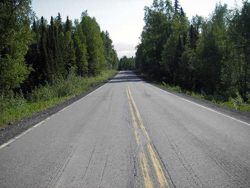
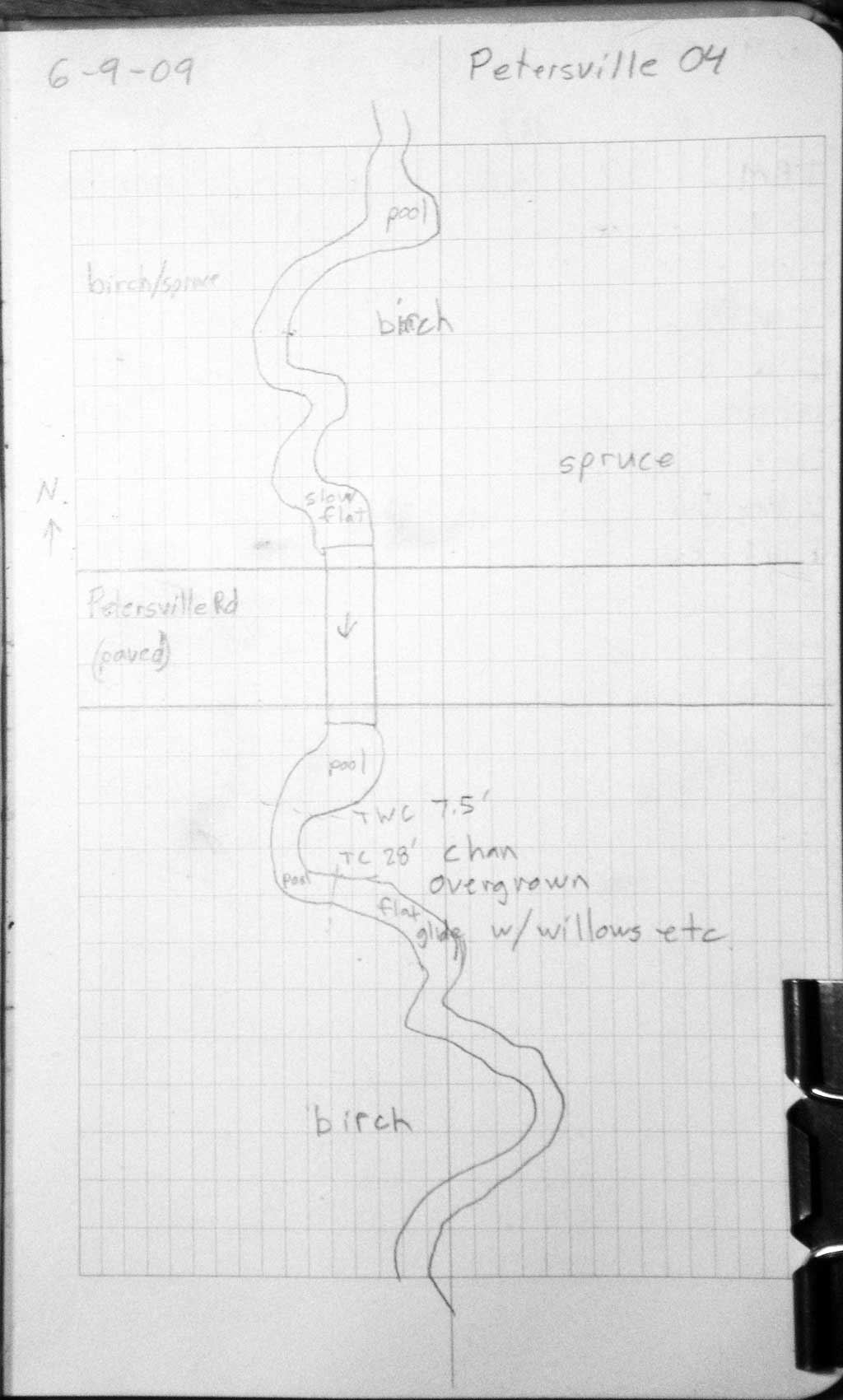
Road Name: Petersville Road
Datum: WGS84
Quad Name / ITM: Talkeetna B-1
AWC Stream #:
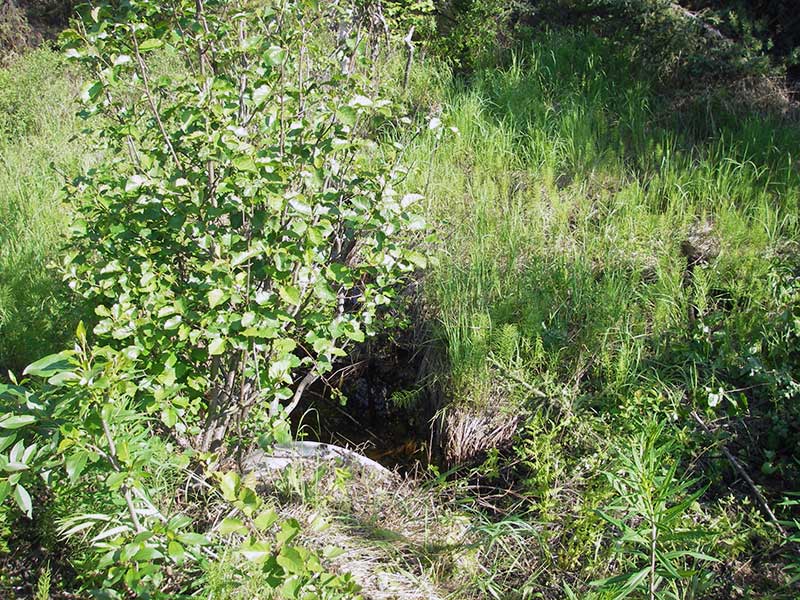
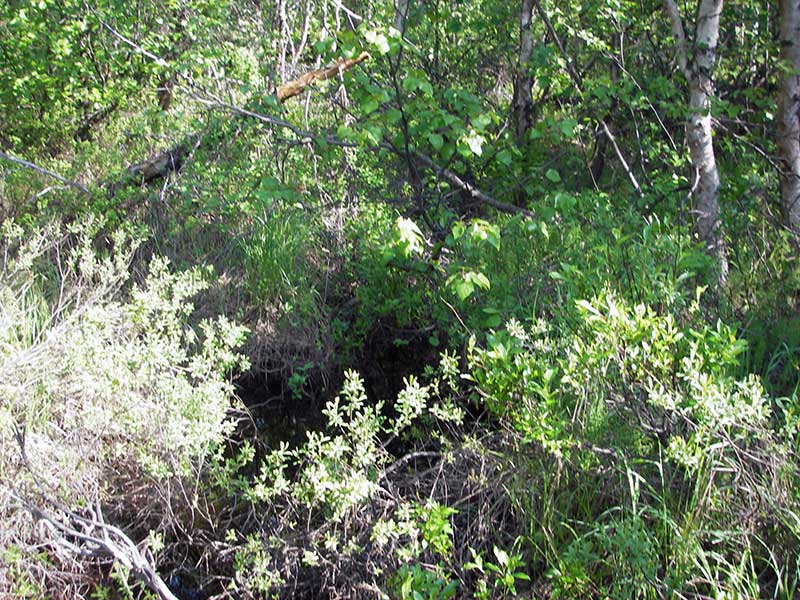
Stream Name: Ninemile Creek tributary
Elevation:
Site Comments: None
arrow to the right of the survey date below to choose a different report for this site.
Survey PRK09-PVR04
Project Supervisor: Gillian O'Doherty, ADFG
Observers: Heidi Zimmer, Ben Histand
Overall Fish Passage Rating:
Tidal: No
Backwatered: No
Step Pools: No
Construction Year:
Site Observations:
- Culvert gradient red
Comments: No fish caught; Trib to AWC stream.
Culvert Measurements
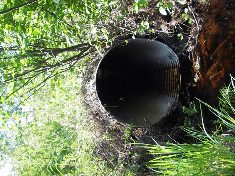
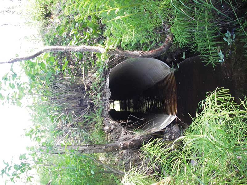
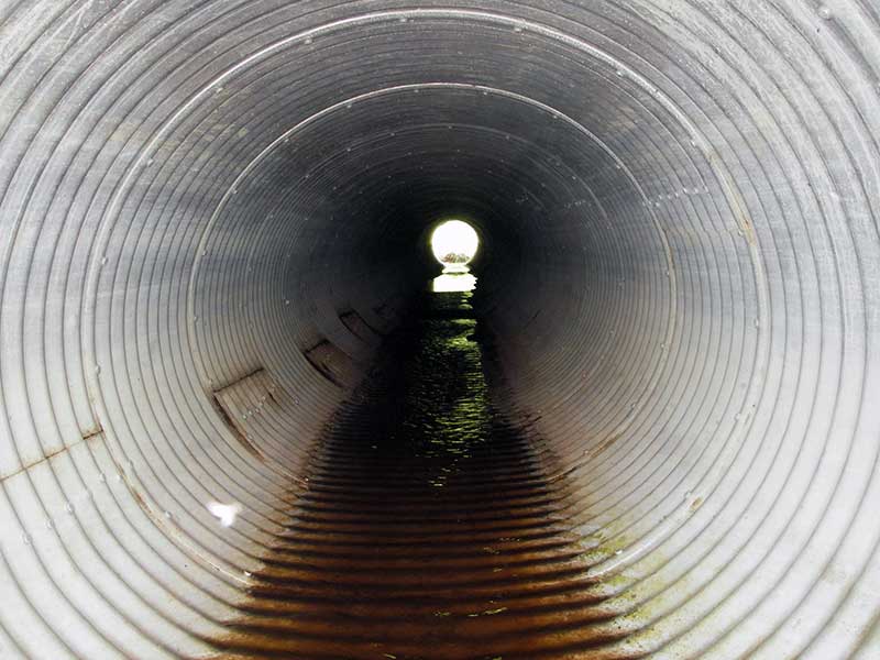
| ID: 1 | Structure Type: Circular pipe (Corrugated aluminum) | Fish Passage Rating: | |||||||||||||||||||||||||||||||||||||||||
|
|
|
|||||||||||||||||||||||||||||||||||||||||
Culvert Observations:
|
|||||||||||||||||||||||||||||||||||||||||||
Stream Measurements
|
|
| Stream Width Type | Distance From Crossing (ft) |
Stream Width (ft) |
|---|---|---|
| Upstream ordinary high water | 35.0 | 3.80 |
| Upstream ordinary high water | 110.0 | 4.00 |
| Upstream ordinary high water | 135.0 | 3.50 |
Elevations
| Locator ID | Culvert Number |
River Distance (ft)1 |
Distance From Crossing (ft)2 |
Relative Elevation (ft) |
|---|---|---|---|---|
| Outlet Pool Water Elev | 1 | 89.27 | ||
| U/S Headwater | 1 | 89.86 | ||
| D/S Grade Ctrl (Thalweg) | 1 | 0.00 | 28.0 | 87.84 |
| D/S Water Surface Elev (ws at gp) | 1 | 0.00 | 28.0 | 88.25 |
| D/S Tailcrest or 1st Thalweg | 1 | 20.50 | 7.5 | 88.76 |
| D/S Water Surface Elev (ws at twc) | 1 | 20.50 | 7.5 | 89.25 |
| D/S Thalweg (bottom of pool) | 1 | 24.00 | 4.0 | 88.47 |
| D/S Thalweg (stream bed end of pipe) | 1 | 28.00 | 0.0 | 88.76 |
| Outlet Invert | 1 | 28.00 | 0.0 | 89.00 |
| Road Elev | 1 | 61.00 | 99.04 | |
| Inlet Culvert Invert | 1 | 94.00 | 0.0 | 89.72 |
| U/S Thalweg | 1 | 95.80 | 1.8 | 89.41 |
Notes:
- River distance is measured continuously throughout the survey reach along the thalweg of the stream.
- Measured from each end of the crossing along the thalweg of the stream.
Fish Sampling Efforts
| Gear Type: Minnow Trap (A) | Trap Duration(h): 1.25 | |
| Comments: no fish caught; 50ft u/s | ||
| Gear Type: Minnow Trap (B) | Trap Duration(h): 1.25 | |
| Comments: no fish caught; 100ft d/s | ||
Fish Observations
No fish observations occurred during this survey.
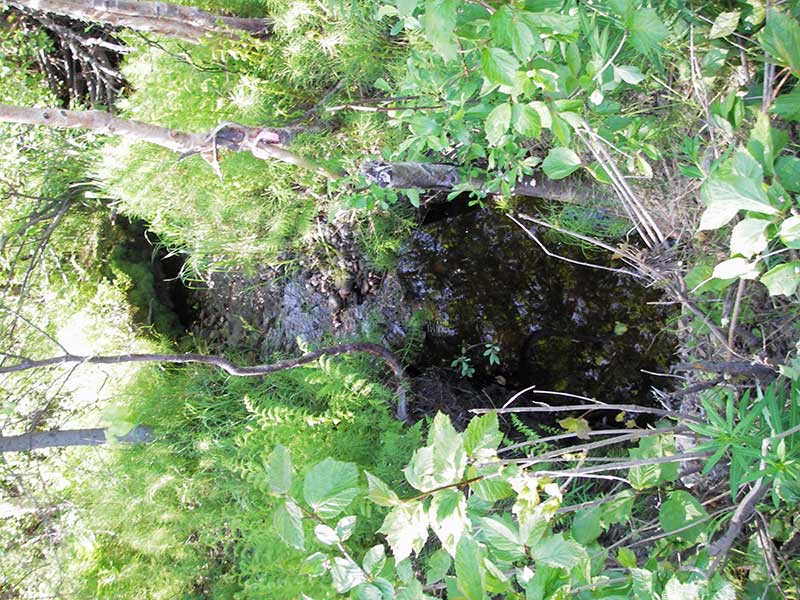
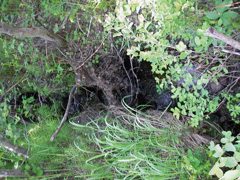
Photos

Questions or comments about this report can be directed to dfg.dsf.webmaster@alaska.gov