Fish Passage Site 20501479
Coordinates (dec. deg.): 62.31733°, -150.30853°
Legal Description: S026N006W25
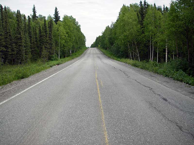
Region: South Central
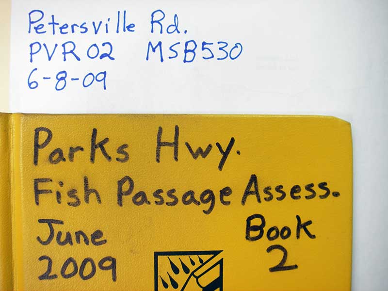
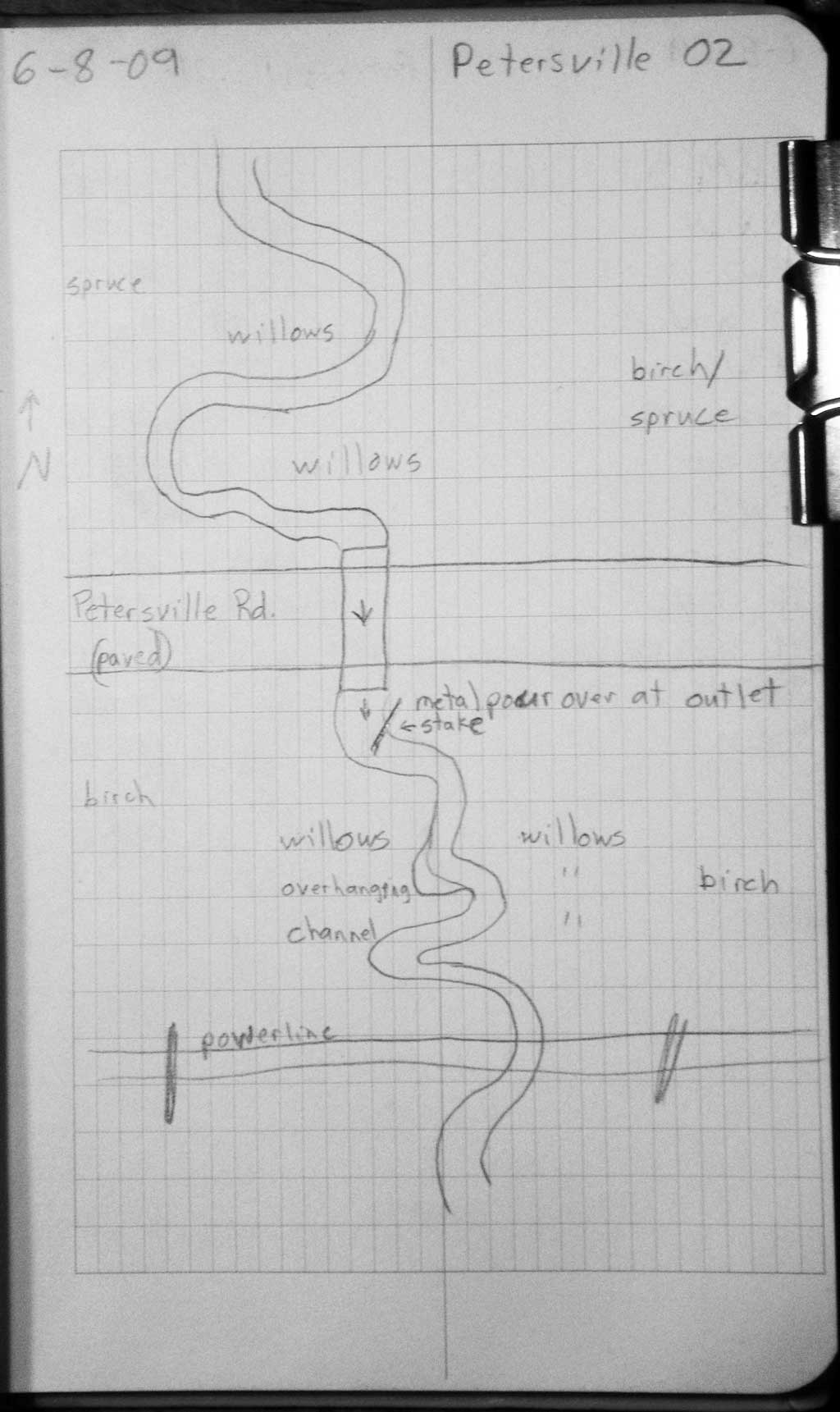
Road Name: Petersville Road
Datum: WGS84
Quad Name / ITM: Talkeetna B-1
AWC Stream #:
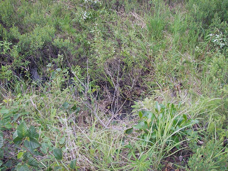
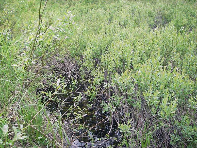
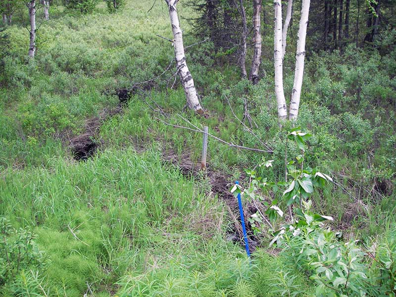
Stream Name: Rabideux Creek tributary
Elevation:
Site Comments: None
Survey PRK09-PVR02
Project Supervisor: Gillian O'Doherty, ADFG
Observers: Heidi Zimmer, Ben Histand
Overall Fish Passage Rating:
Tidal: No
Backwatered: No
Step Pools:
Construction Year:
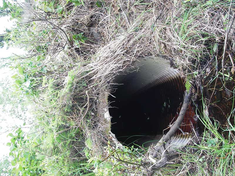
Site Observations:
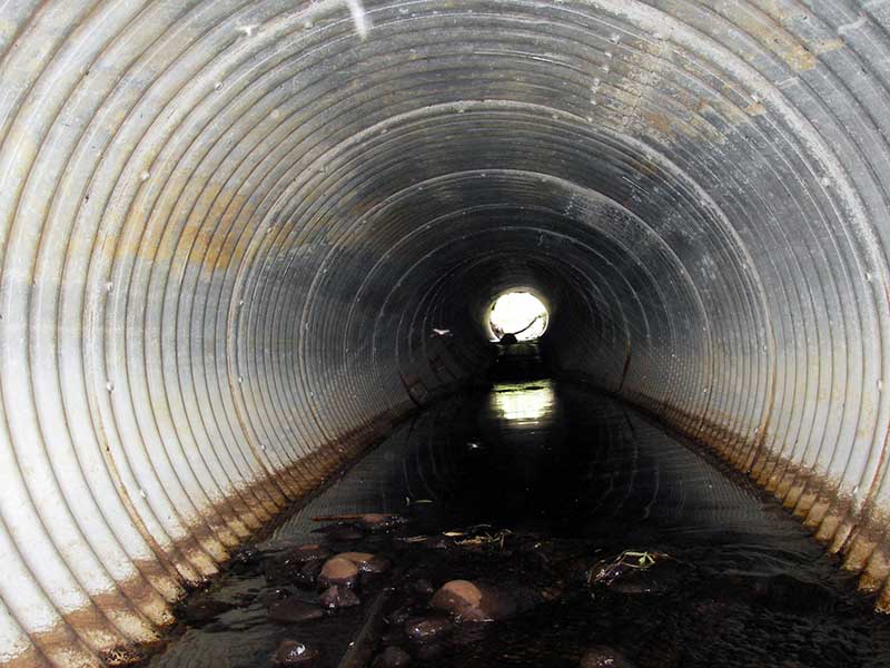
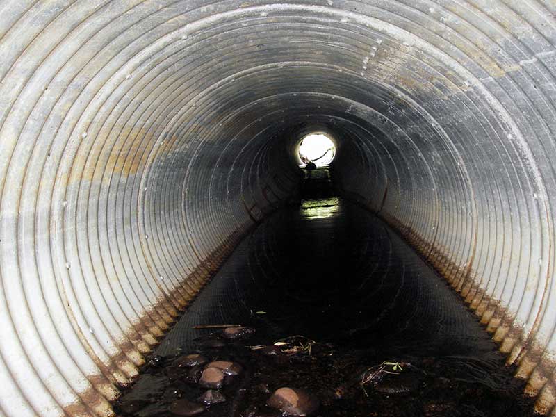
- Outfall height red
- Culvert gradient red
- Constriction ratio gray
- Compound gradient in pipe
- Shallow fill; inadequate roadfill volume above culvert
- Mechanical damage or joints parting
Comments: 1 coho juv d/s; no fish in u/s trap.
Culvert Measurements
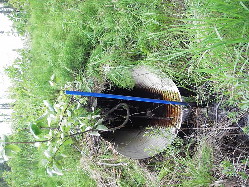
| ID: 1 | Structure Type: Circular pipe (Corrugated aluminum) | Fish Passage Rating: | |||||||||||||||||||||||||||||||||||||||||
|
|
|
|||||||||||||||||||||||||||||||||||||||||
Culvert Observations:
|
|||||||||||||||||||||||||||||||||||||||||||
Stream Measurements
|
|
| Stream Width Type | Distance From Crossing (ft) |
Stream Width (ft) |
|---|---|---|
| Upstream ordinary high water | 55.0 | 6.00 |
| Upstream ordinary high water | 80.0 | 4.00 |
| Upstream ordinary high water | 115.0 | 3.50 |
Elevations
| Locator ID | Culvert Number |
River Distance (ft)1 |
Distance From Crossing (ft)2 |
Relative Elevation (ft) |
|---|---|---|---|---|
| Outlet Pool Water Elev (outlet pool ws) | 1 | 91.40 | ||
| U/S Headwater | 1 | 93.25 | ||
| D/S Water Surface Elev (d/s) | 1 | 0.00 | 70.0 | 91.29 |
| D/S Tailcrest or 1st Thalweg (slight GP) | 1 | 59.00 | 11.0 | 90.81 |
| D/S Water Surface Elev (ws @ TWC) | 1 | 59.00 | 11.0 | 91.44 |
| D/S Thalweg (bottom of pool) | 1 | 64.30 | 5.7 | 90.73 |
| D/S Water Surface Elev (ws @ GP) | 1 | 69.20 | 0.8 | 93.35 |
| Outlet Invert | 1 | 70.00 | 0.0 | 92.03 |
| Road Elev (u/s edge of rd) | 1 | 103.50 | 99.46 | |
| Inlet Culvert Invert | 1 | 137.00 | 0.0 | 92.95 |
| U/S Thalweg (1st TC u/s) | 1 | 137.80 | 0.8 | 93.12 |
Notes:
- River distance is measured continuously throughout the survey reach along the thalweg of the stream.
- Measured from each end of the crossing along the thalweg of the stream.
Fish Sampling Efforts
| Gear Type: Minnow Trap (A) | Trap Duration(h): 1.0 | |
| Comments: no fish caught; 130ft u/s | ||
| Gear Type: Minnow Trap (B) | Trap Duration(h): 1.0 | |
| Comments: 40ft d/s | ||
Fish Observations
| Species: juvenile/adult coho salmon | Life History: Anadromous | ||
| Total Fish Observed: 1 | Fish Measured: 1 | Fork Lengths (mm) Min: 65 Max: 65 Mean: 65 | |
| Collected/Observed by Gear Type: Downstream Minnow Trap (1) | |||
Photos
Questions or comments about this report can be directed to dfg.dsf.webmaster@alaska.gov