Fish Passage Site 20501478
Coordinates (dec. deg.): 62.31664°, -150.28952°
Legal Description: S026N006W25
Region: South Central
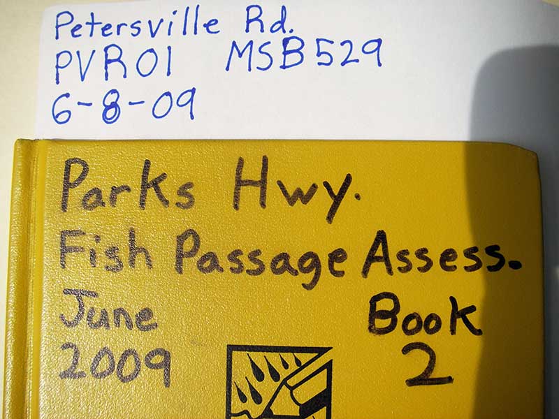
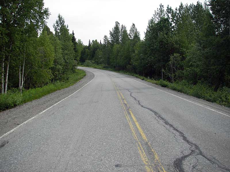
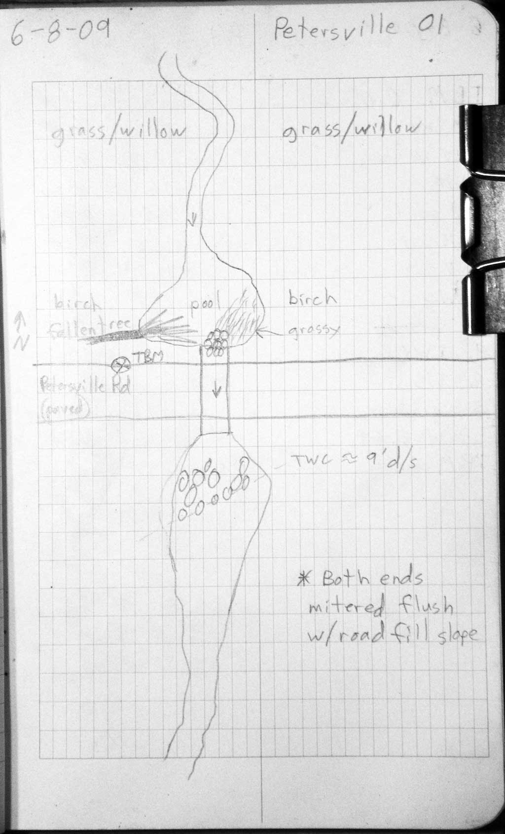
Road Name: Petersville Road
Datum: WGS84
Quad Name / ITM: Talkeetna B-1
AWC Stream #:
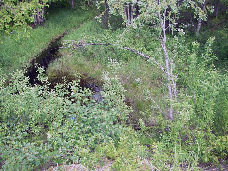
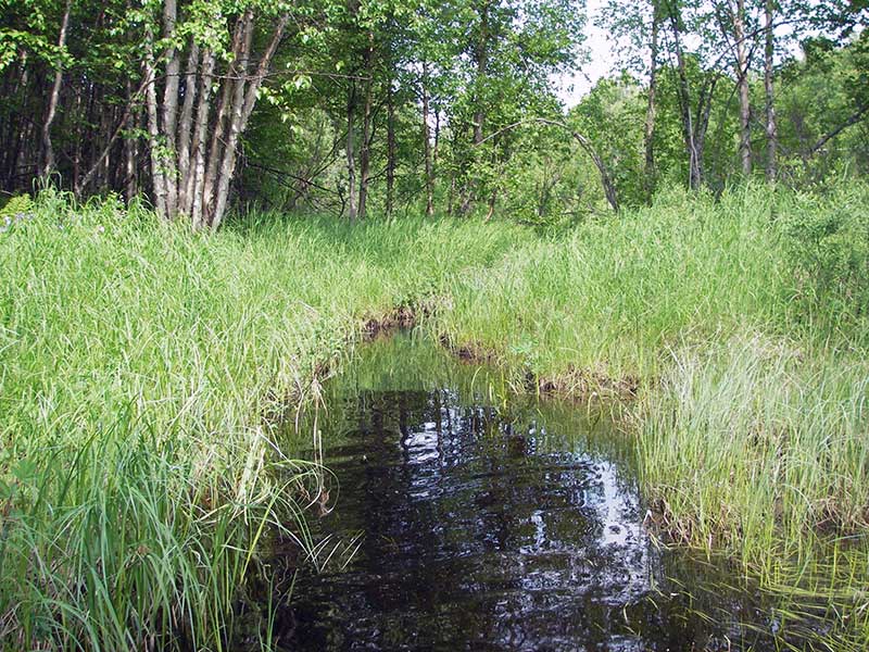
Stream Name: Rabideux Creek tributary
Elevation:
Site Comments: None
Survey PRK09-PVR01
Project Supervisor: Gillian O'Doherty, ADFG
Observers: Heidi Zimmer, Ben Histand
Overall Fish Passage Rating:
Tidal: No
Backwatered: No
Step Pools: No
Construction Year:
Site Observations:
- Culvert gradient gray
- Compound gradient in pipe
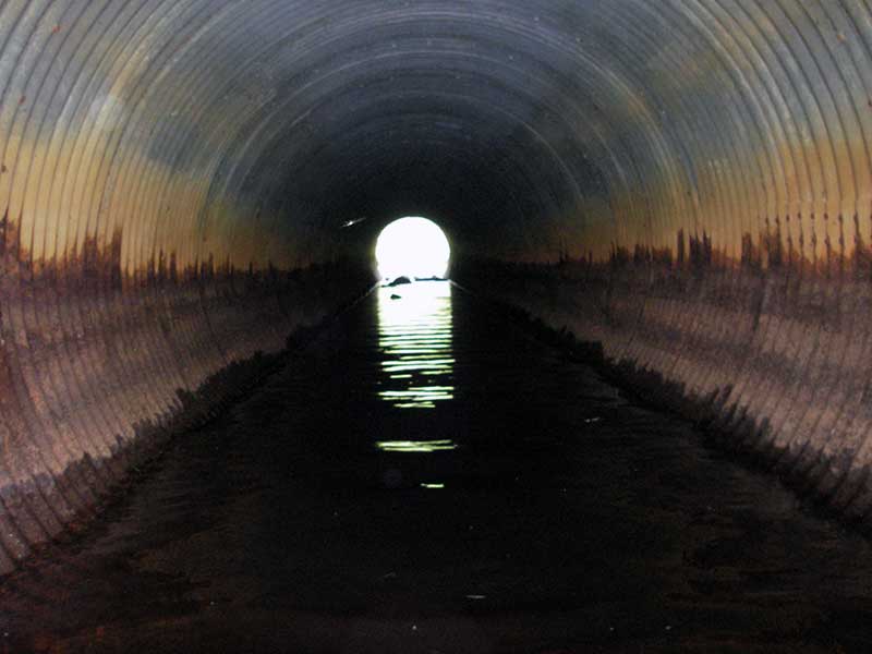
Comments: Backwatered except inlet miter; TWC > inv out and TOM inlet; probably not a barrier: inlet miter is riffle over SC.
Culvert Measurements
| ID: 1 | Structure Type: Circular pipe (Structural steel plate) | Fish Passage Rating: | |||||||||||||||||||||||||||||||||||||||||
|
|
|
|||||||||||||||||||||||||||||||||||||||||
Culvert Observations:
|
|||||||||||||||||||||||||||||||||||||||||||
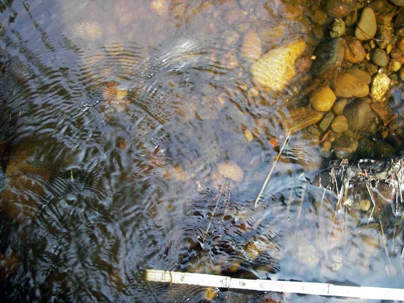
Stream Measurements
|
|
| Stream Width Type | Distance From Crossing (ft) |
Stream Width (ft) |
|---|---|---|
| Upstream ordinary high water | 55.0 | 3.80 |
| Upstream ordinary high water | 105.0 | 4.50 |
| Upstream ordinary high water | 150.0 | 3.00 |
Elevations
| Locator ID | Culvert Number |
River Distance (ft)1 |
Distance From Crossing (ft)2 |
Relative Elevation (ft) |
|---|---|---|---|---|
| Outlet Pool Water Elev | 1 | 83.14 | ||
| U/S Headwater (@ end of miter) | 1 | 83.40 | ||
| Road Elev (u/s edge of rd) | 97.54 | |||
| D/S Water Surface Elev (ws @ GP) | 1 | 0.00 | 50.0 | 82.79 |
| D/S Grade Ctrl (Thalweg) | 1 | 0.00 | 50.0 | 82.42 |
| D/S Tailcrest or 1st Thalweg | 1 | 40.70 | 9.3 | 82.91 |
| D/S Water Surface Elev (WS @ TWC) | 1 | 40.70 | 9.3 | 83.13 |
| Outlet Invert (end of miter; also deepest pt in out pool) | 1 | 50.00 | 0.0 | 81.97 |
| D/S Thalweg (invert top of miter outlet) | 1 | 54.70 | -4.7 | 82.00 |
| U/S Thalweg (invert at top of miter inlet) | 1 | 119.00 | -5.0 | 82.55 |
| Inlet Culvert Invert (end of miter; also TC of 1st pool u/s) | 1 | 124.00 | 0.0 | 83.13 |
Notes:
- River distance is measured continuously throughout the survey reach along the thalweg of the stream.
- Measured from each end of the crossing along the thalweg of the stream.
Fish Sampling Efforts
No fish sampling occurred during this survey.
Fish Observations
No fish observations occurred during this survey.
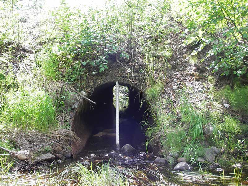
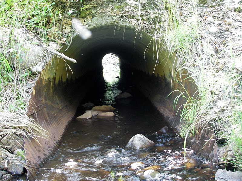
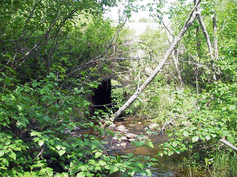
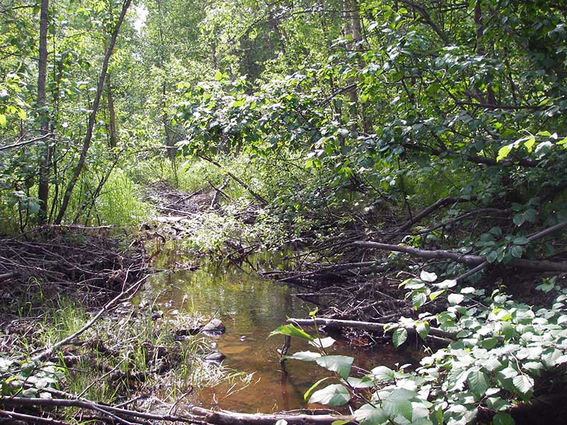
Photos

Questions or comments about this report can be directed to dfg.dsf.webmaster@alaska.gov