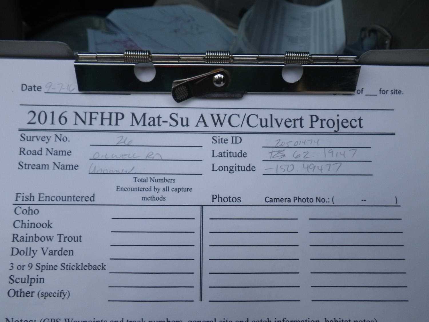
Fish Passage Site 20501474
Coordinates (dec. deg.): 62.19159°, -150.49500°
Legal Description: S024N007W11
Region: South Central
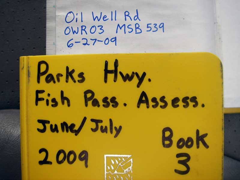
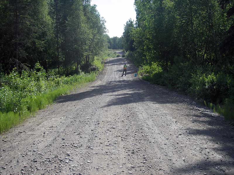
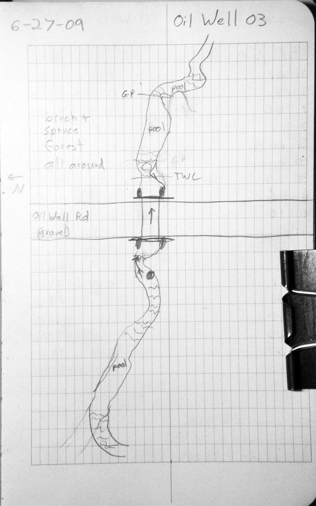
Road Name: Oil Well Road
Datum: WGS84
Quad Name / ITM: Talkeetna A-1
AWC Stream #:
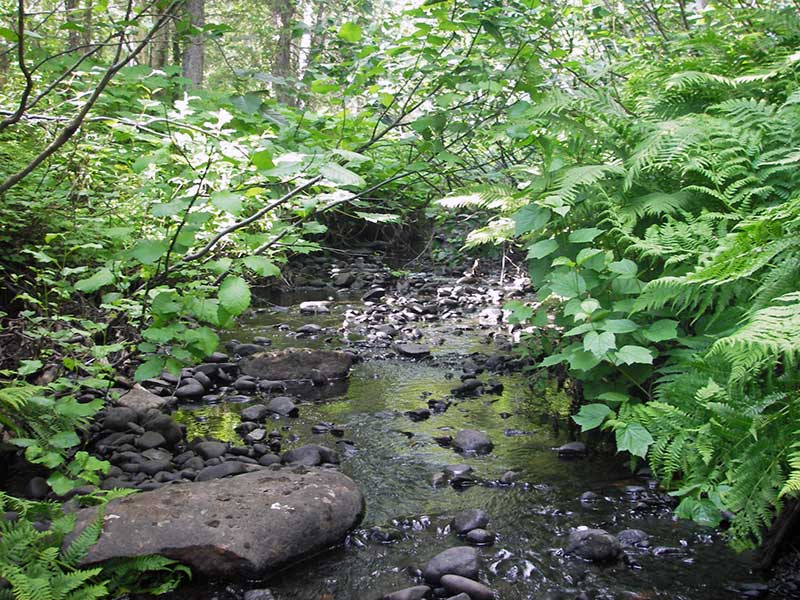
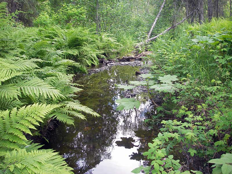
Stream Name: Unnamed
Elevation:
Site Comments: None
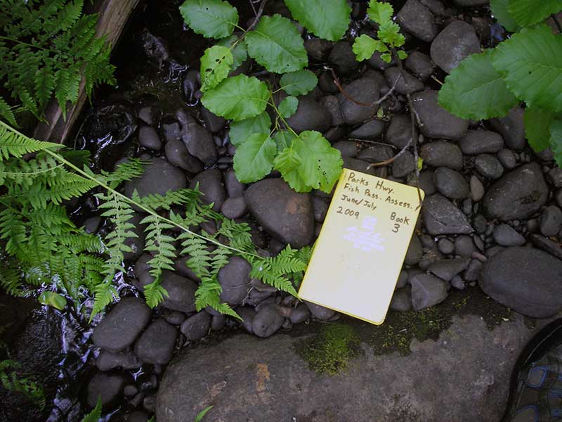
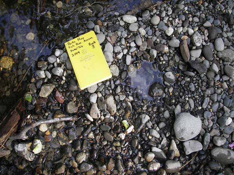
Survey PRK09-OWR03
Project Supervisor: Gillian O'Doherty, ADFG
Observers: Heidi Zimmer, Ben Histand
Overall Fish Passage Rating:
Tidal: No
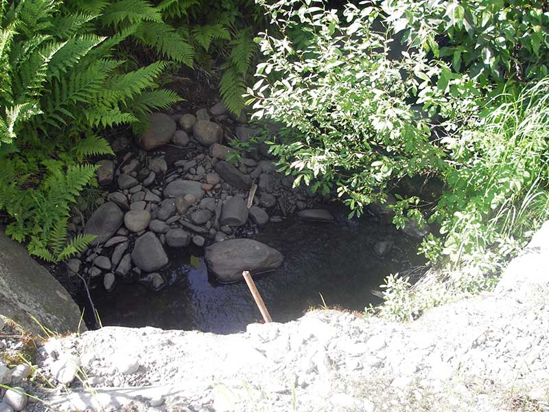
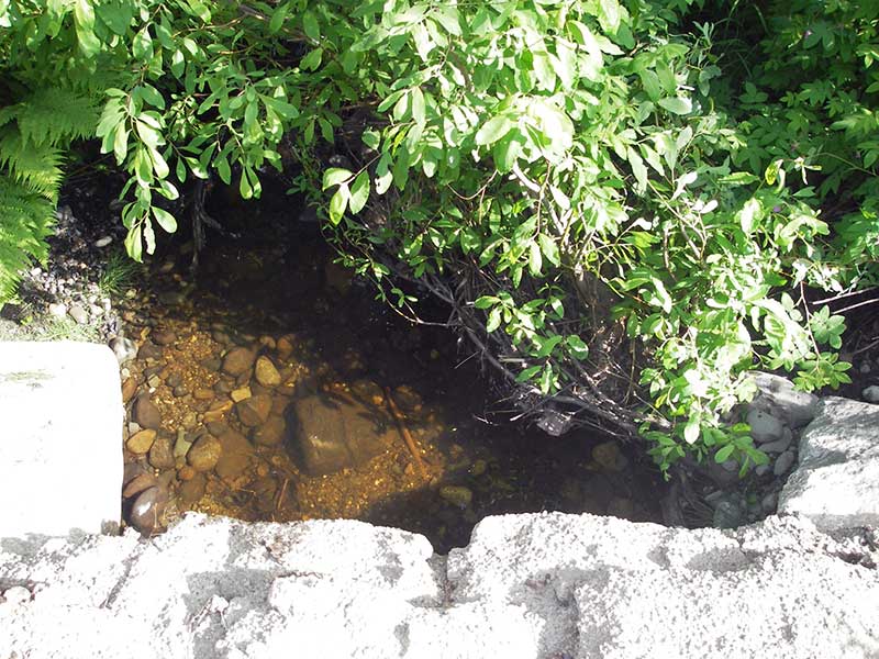
Backwatered: Yes
Step Pools: No
Construction Year:
Site Observations:
- Constriction ratio gray
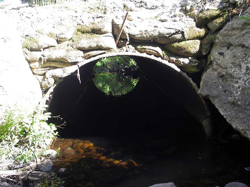
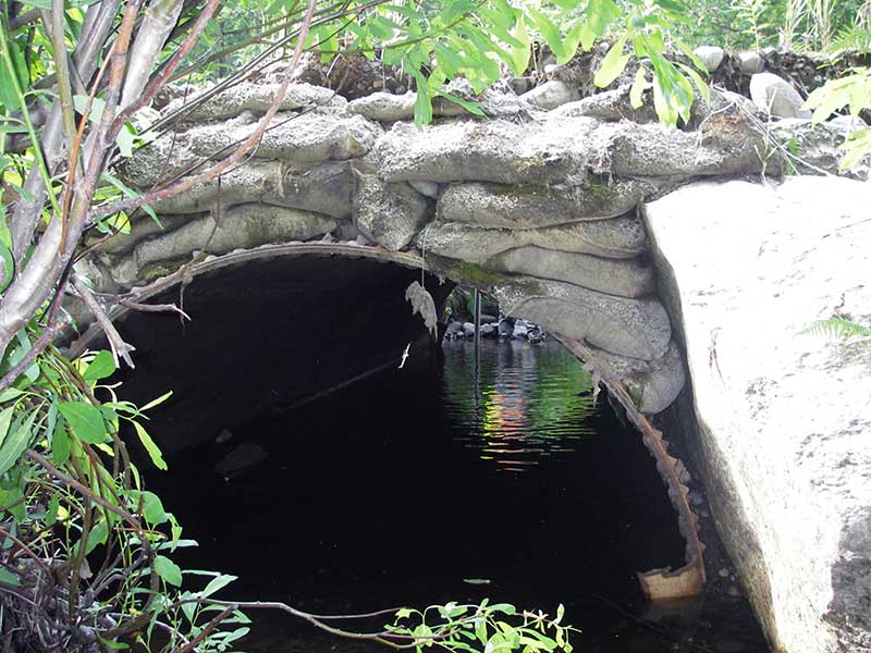
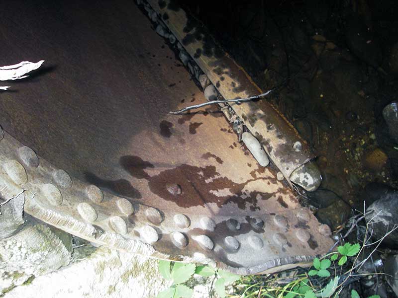
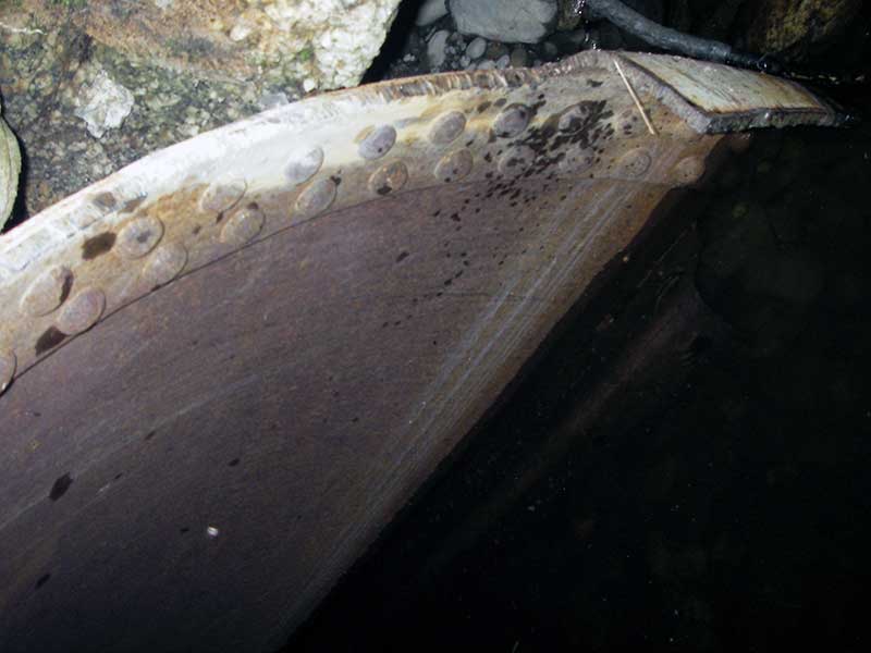
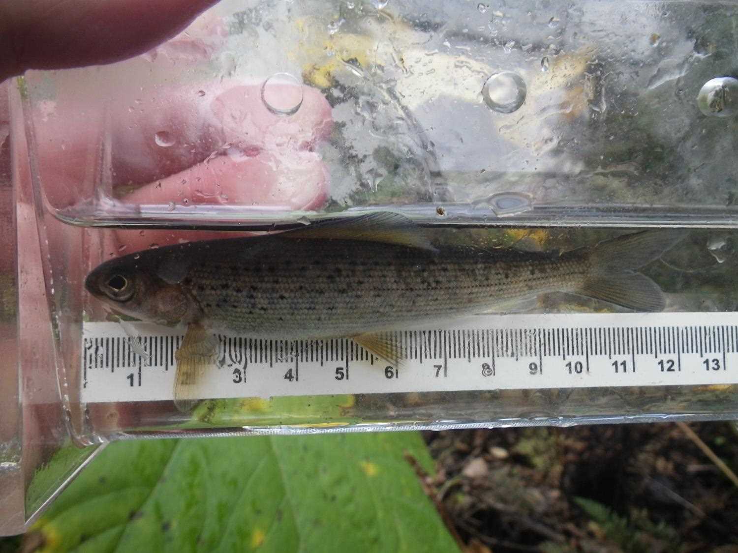
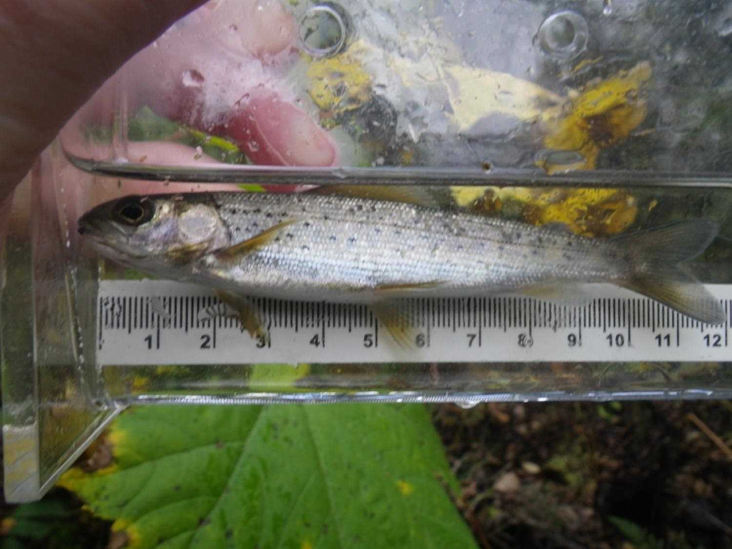
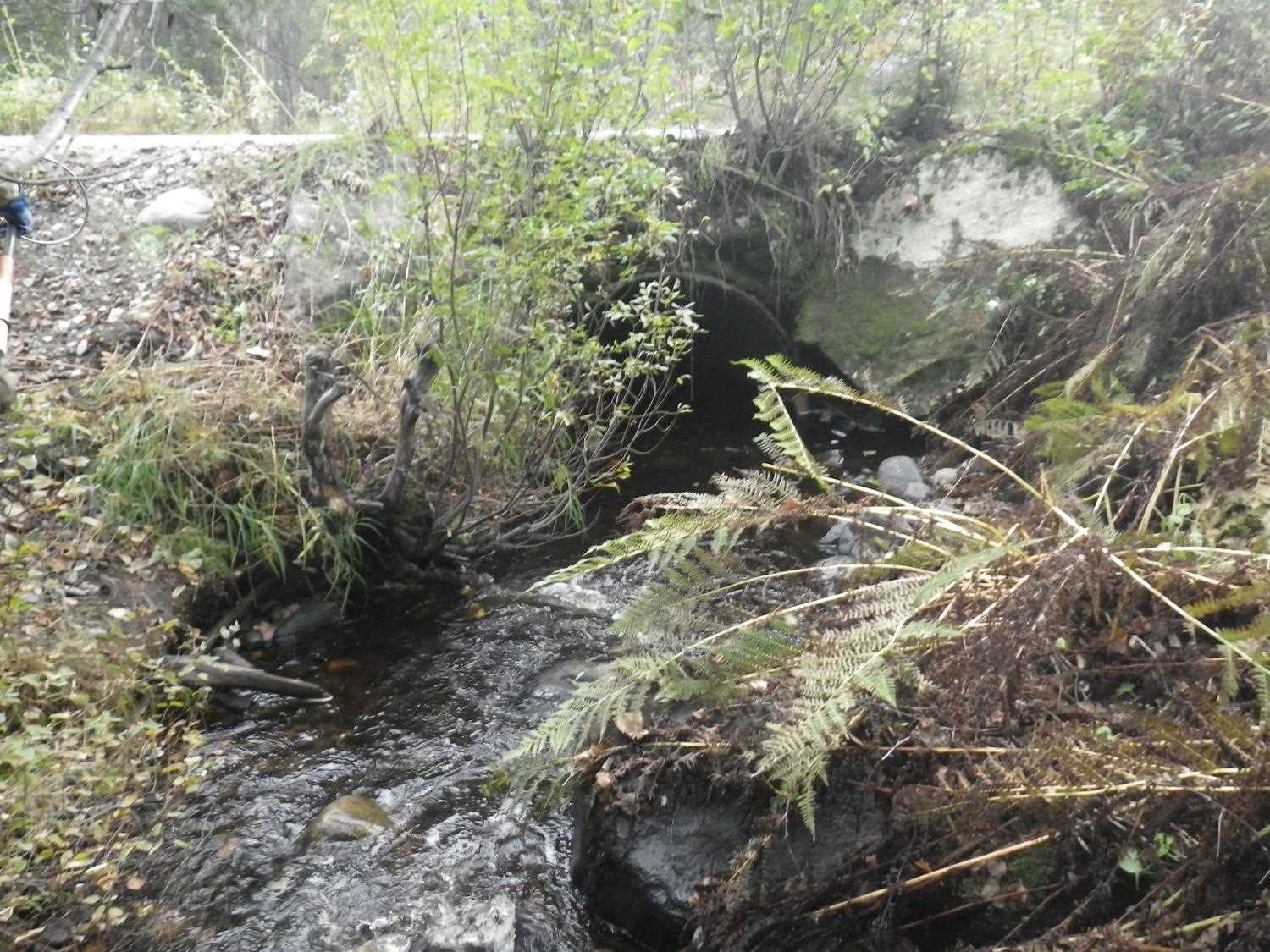
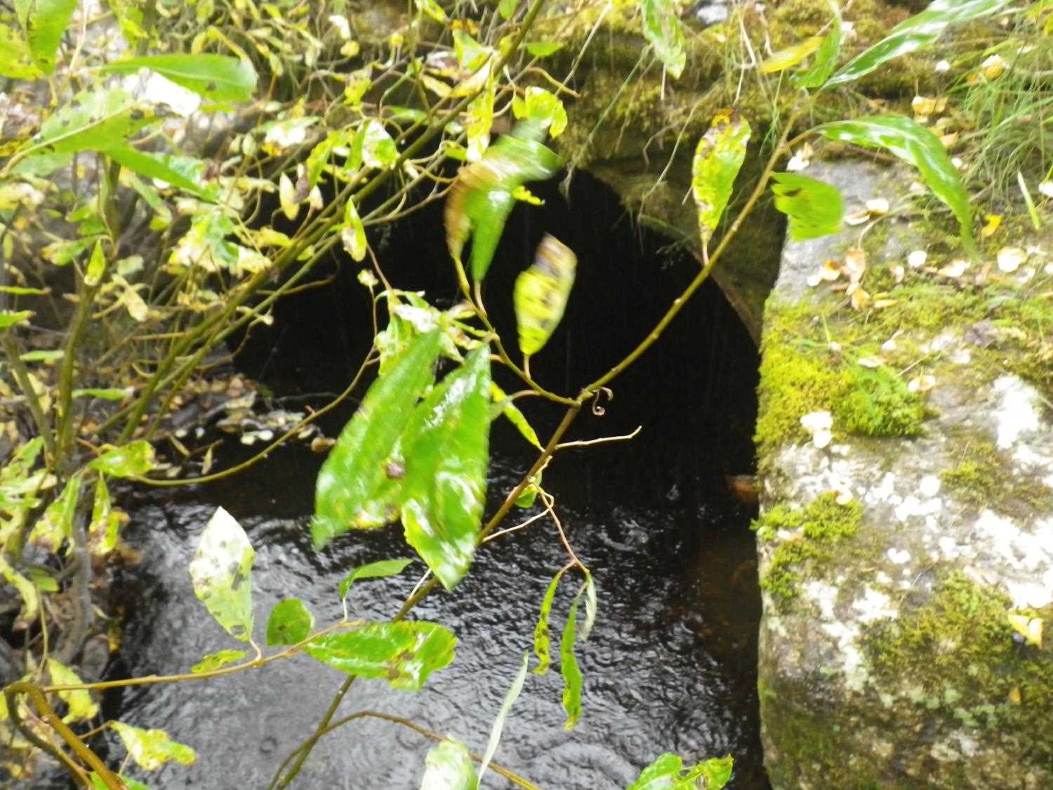
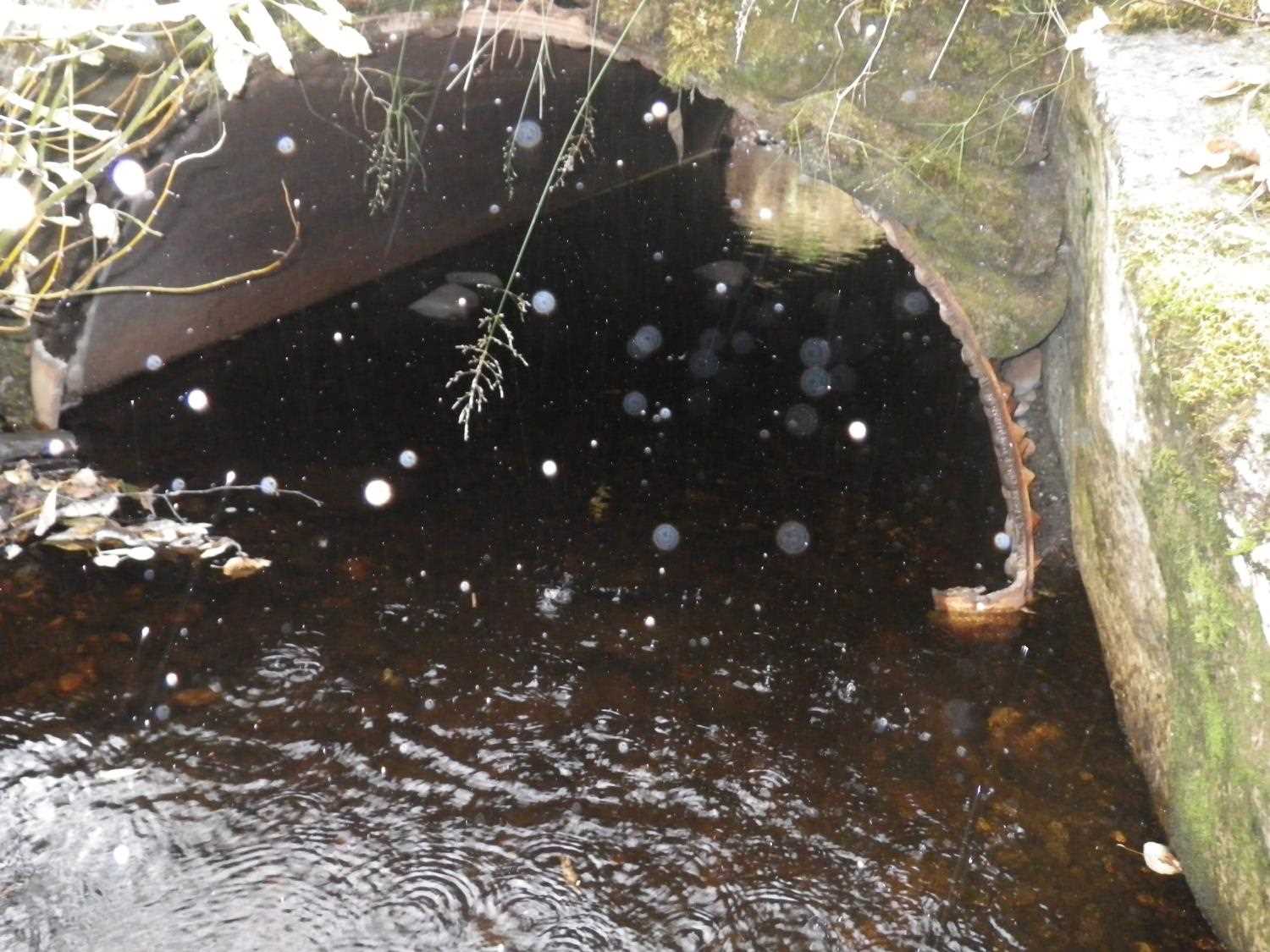
Comments: **Updated site photos added from 9/7/16 site visit from Sampling Unmapped Streams in the MSB project. Fish sampling information entered into AFFI.*** Sandbag headwalls; local resident says pipe made from 1/2 of old water tank; pipe slope calc'd based on inverts.
Culvert Measurements
| ID: 1 | Structure Type: Open-bottom arch (Non-corrugated metal) | Fish Passage Rating: | |||||||||||||||||||||||||||||||||||||||||
|
|
|
|||||||||||||||||||||||||||||||||||||||||
Comments: U/S gradient 2.14%; pipe slope calc'd based on inverts. |
|||||||||||||||||||||||||||||||||||||||||||
Culvert Observations:
|
|||||||||||||||||||||||||||||||||||||||||||
Stream Measurements
|
|
| Stream Width Type | Distance From Crossing (ft) |
Stream Width (ft) |
|---|---|---|
| Upstream ordinary high water | 40.0 | 10.00 |
| Upstream ordinary high water | 86.0 | 8.50 |
| Upstream ordinary high water | 113.0 | 9.00 |
Elevations
| Locator ID | Culvert Number |
River Distance (ft)1 |
Distance From Crossing (ft)2 |
Relative Elevation (ft) |
|---|---|---|---|---|
| U/S Headwater | 1 | 96.65 | ||
| Outlet Pool Water Elev | 1 | 96.66 | ||
| D/S Water Surface Elev | 1 | 0.00 | 87.0 | 98.46 |
| D/S Water Surface Elev | 1 | 39.00 | 48.0 | 98.28 |
| D/S Grade Ctrl (Thalweg) | 1 | 46.00 | 41.0 | 96.14 |
| D/S Water Surface Elev | 1 | 46.00 | 41.0 | 96.35 |
| D/S Water Surface Elev | 1 | 70.00 | 17.0 | 97.15 |
| D/S Water Surface Elev | 1 | 79.50 | 7.5 | 96.76 |
| D/S Tailcrest or 1st Thalweg | 1 | 80.00 | 7.0 | 96.54 |
| D/S Water Surface Elev | 1 | 80.00 | 7.0 | 96.65 |
| D/S Thalweg | 1 | 85.00 | 2.0 | 95.87 |
| Outlet Invert (thalweg at end of pipe) | 1 | 87.00 | 0.0 | 95.77 |
| Road Elev | 1 | 100.00 | 101.89 | |
| Inlet Culvert Invert (thalweg at end of pipe) | 1 | 113.00 | 0.0 | 95.58 |
| U/S Grade Ctrl (Thalweg) (u/s GP) | 1 | 120.50 | 7.5 | 96.51 |
| U/S Grade Ctrl (Thalweg) (u/s GP) | 1 | 130.00 | 17.0 | 97.01 |
| U/S Grade Ctrl (Thalweg) (u/s GP) | 1 | 161.00 | 48.0 | 98.15 |
| U/S Grade Ctrl (Thalweg) (u/s GP) | 1 | 200.00 | 87.0 | 98.40 |
Notes:
- River distance is measured continuously throughout the survey reach along the thalweg of the stream.
- Measured from each end of the crossing along the thalweg of the stream.
Fish Sampling Efforts
| Gear Type: Minnow Trap (A) | Trap Duration(h): 1.0 | |
| Comments: no fish caught; 100ft u/s | ||
| Gear Type: Minnow Trap (B) | Trap Duration(h): 1.0 | |
| Comments: no fish caught; 100ft d/s | ||
Fish Observations
No fish observations occurred during this survey.
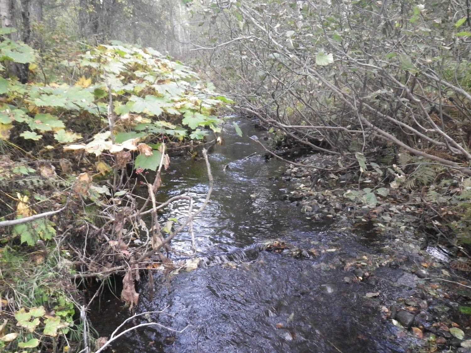
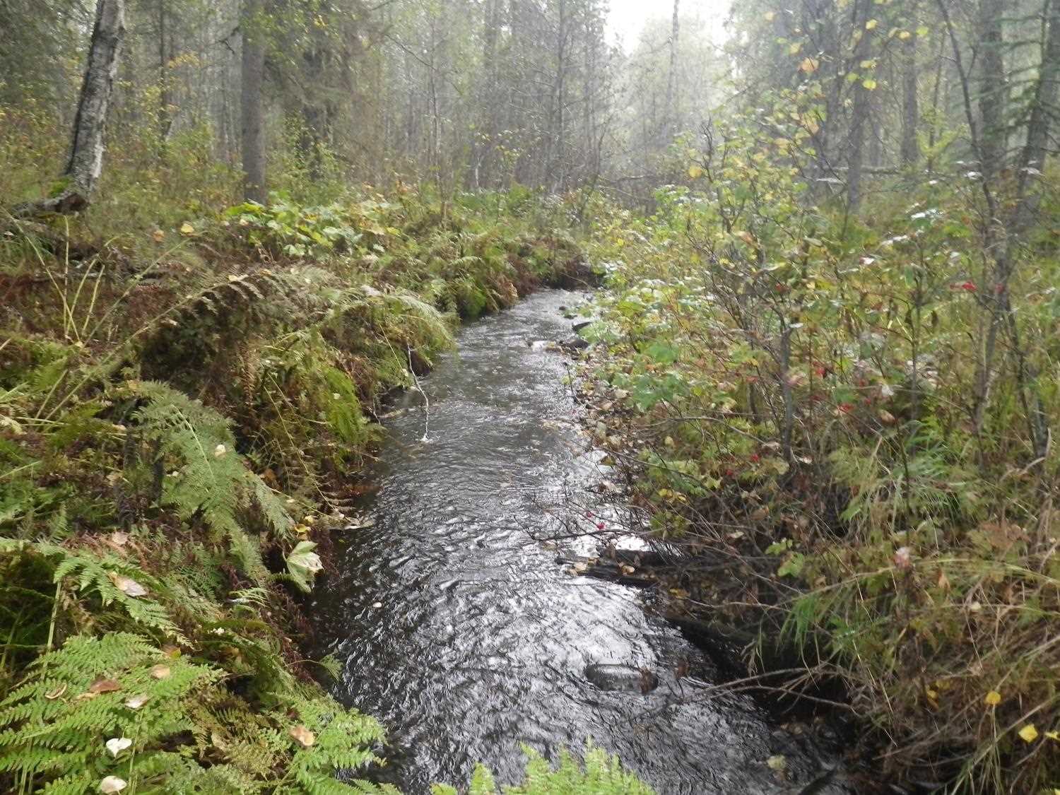
Photos
Questions or comments about this report can be directed to dfg.dsf.webmaster@alaska.gov