Fish Passage Site 20501473
Coordinates (dec. deg.): 62.18156°, -150.51703°
Legal Description: S024N007W11
Region: South Central
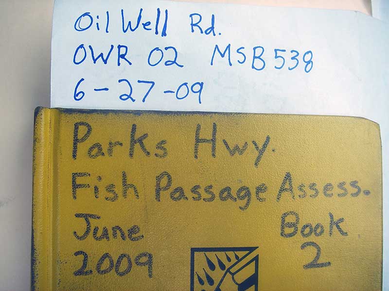
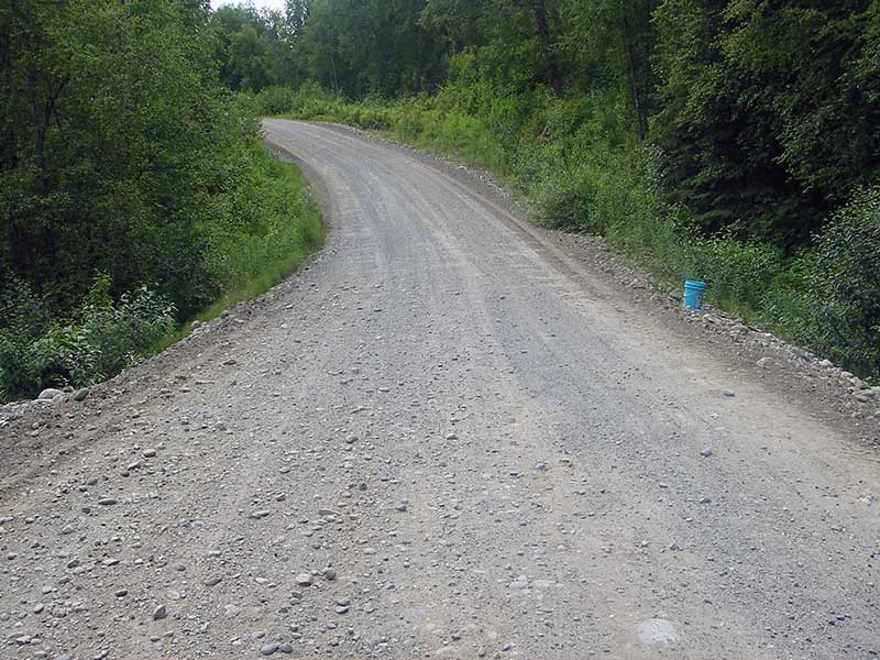
Road Name: Oil Well Road
Datum: WGS84
Quad Name / ITM: Talkeetna A-2
AWC Stream #:
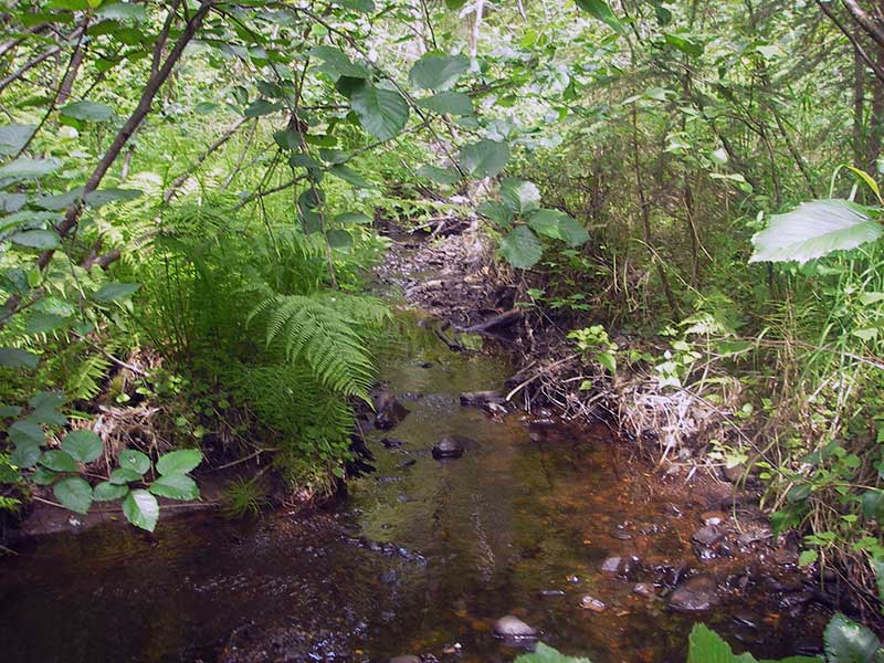
Stream Name: Unnamed
Elevation:
Site Comments: None
arrow to the right of the survey date below to choose a different report for this site.
Survey PRK09-OWR02
Project Supervisor: Gillian O'Doherty, ADFG
Observers: Heidi Zimmer, Ben Histand
Overall Fish Passage Rating:
Tidal: No
Backwatered: No
Step Pools: No
Construction Year:
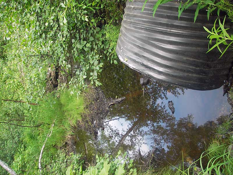
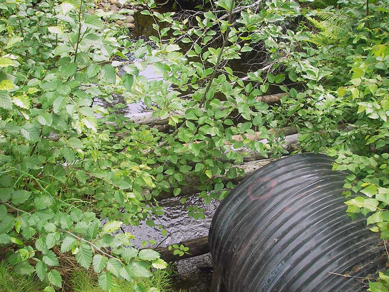
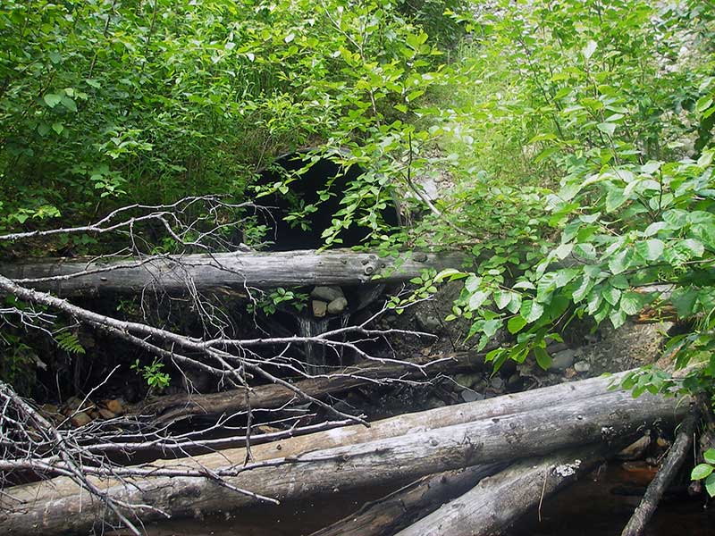
Site Observations:
- Outfall height red
- Culvert gradient red
- Constriction ratio red
- Compound gradient in pipe
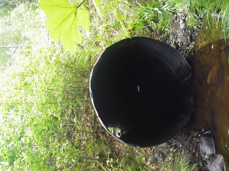
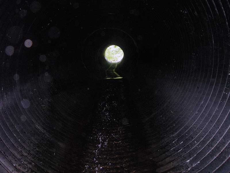
Comments: Pipe appears to be steel coated in black plastic; upper 1/2 of pipe is prob steeper than 6.91%.
Culvert Measurements
| ID: 1 | Structure Type: Circular pipe (Corrugated plastic) | Fish Passage Rating: | |||||||||||||||||||||||||||||||||||||||||
|
|
|
|||||||||||||||||||||||||||||||||||||||||
Culvert Observations:
|
|||||||||||||||||||||||||||||||||||||||||||
Stream Measurements
|
|
| Stream Width Type | Distance From Crossing (ft) |
Stream Width (ft) |
|---|---|---|
| Upstream ordinary high water | 138.0 | 11.00 |
| Upstream ordinary high water | 165.0 | 12.00 |
| Upstream ordinary high water | 200.0 | 9.50 |
Elevations
| Locator ID | Culvert Number |
River Distance (ft)1 |
Distance From Crossing (ft)2 |
Relative Elevation (ft) |
|---|---|---|---|---|
| Outlet Pool Water Elev | 1 | 90.17 | ||
| U/S Headwater | 1 | 96.25 | ||
| D/S Grade Ctrl (Thalweg) | 1 | 0.00 | 31.0 | 89.43 |
| D/S Water Surface Elev (WS @ GP) | 1 | 0.00 | 31.0 | 89.52 |
| D/S Tailcrest or 1st Thalweg | 1 | 12.00 | 19.0 | 90.04 |
| D/S Water Surface Elev (WS @ TWC) | 1 | 12.00 | 19.0 | 90.17 |
| D/S Thalweg | 1 | 23.00 | 8.0 | 87.46 |
| Outlet Invert | 1 | 31.00 | 0.0 | 91.94 |
| D/S Thalweg (streambed end of pipe) | 1 | 31.00 | 0.0 | 89.45 |
| Road Elev | 1 | 61.00 | 106.26 | |
| U/S Thalweg (pool imm u/s inlet/streambed end of pipe) | 1 | 91.00 | 0.0 | 95.75 |
| Inlet Culvert Invert | 1 | 91.00 | 0.0 | 96.13 |
Notes:
- River distance is measured continuously throughout the survey reach along the thalweg of the stream.
- Measured from each end of the crossing along the thalweg of the stream.
Fish Sampling Efforts
| Gear Type: Minnow Trap (A) | Trap Duration(h): 1.0 | |
| Comments: no fish caught; 150ft u/s | ||
| Gear Type: Minnow Trap (B) | Trap Duration(h): 1.0 | |
| Comments: 300ft d/s | ||
Fish Observations
| Species: stickleback-unspecified | Life History: Resident | ||
| Total Fish Observed: 16 | Fish Measured: | Fork Lengths (mm) Min: Max: Mean: | |
| Collected/Observed by Gear Type: Downstream Minnow Trap (16) | |||
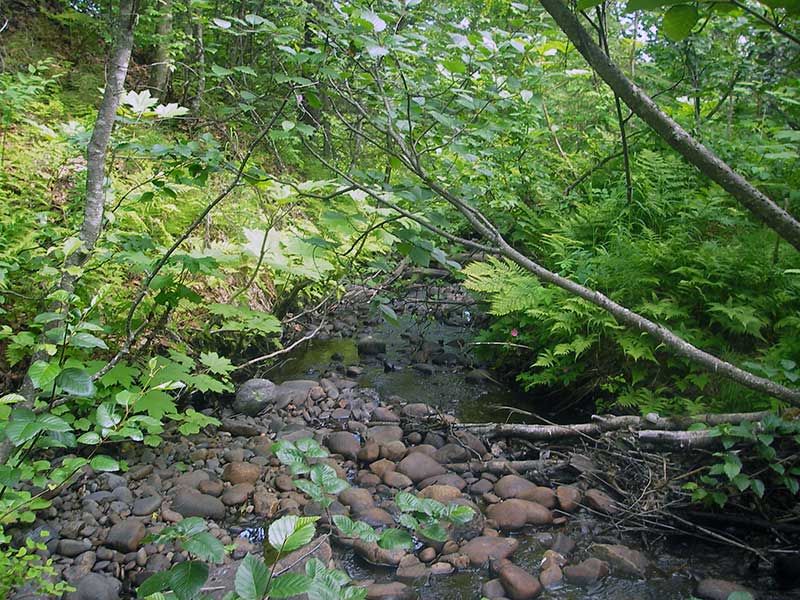
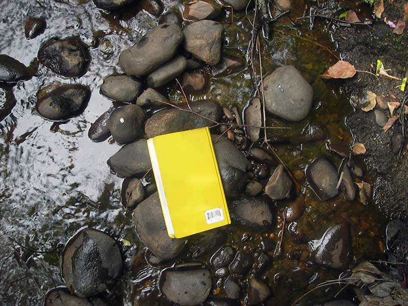
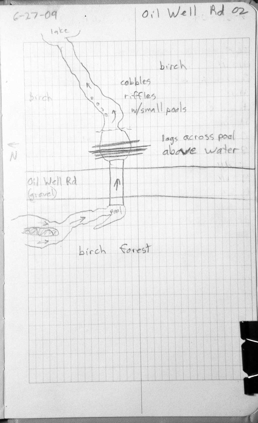
Photos
Questions or comments about this report can be directed to dfg.dsf.webmaster@alaska.gov