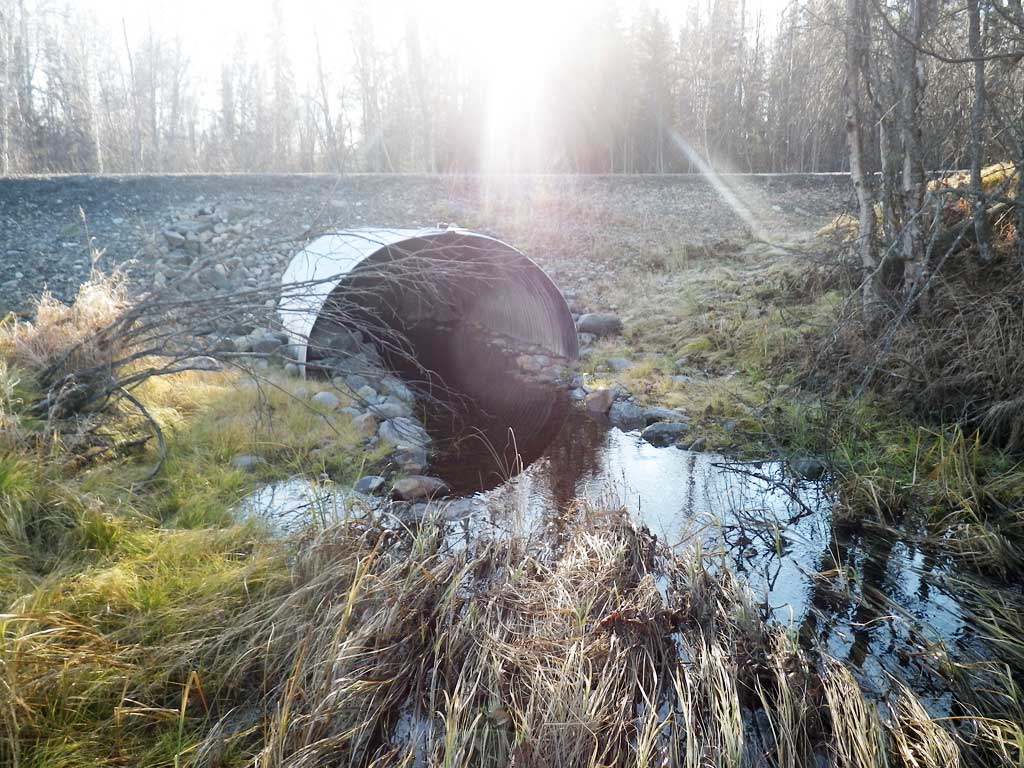
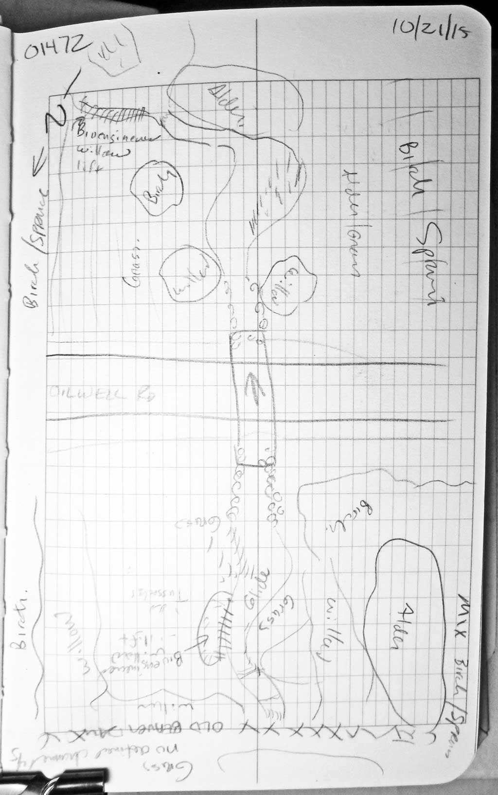
Fish Passage Site 20501472
Coordinates (dec. deg.): 62.10631°, -150.52565°
Legal Description: S023N007W03
Region: South Central
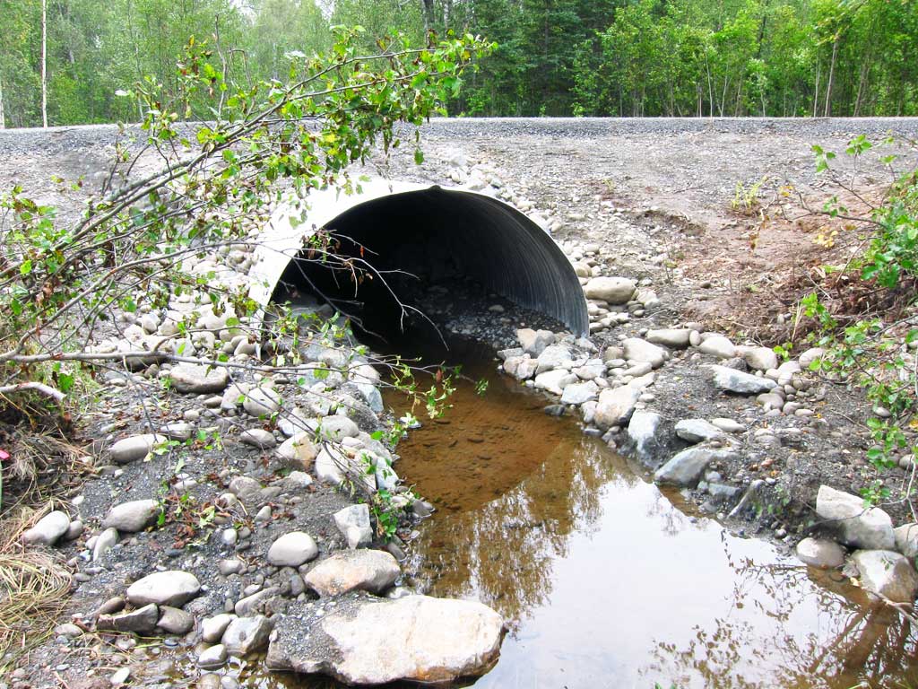
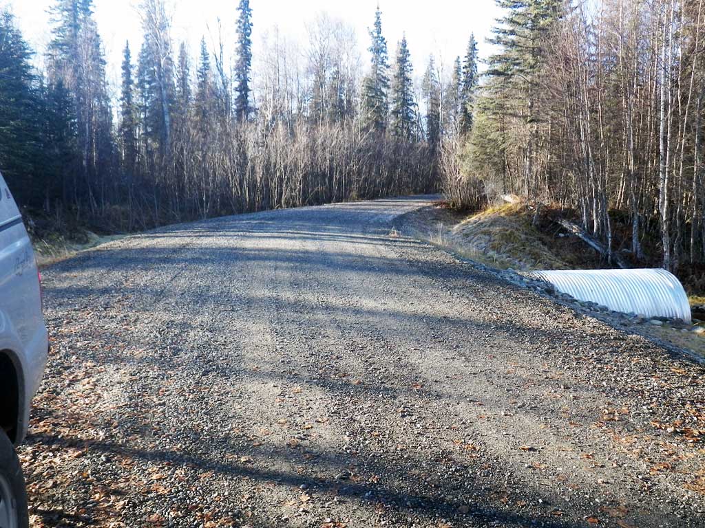
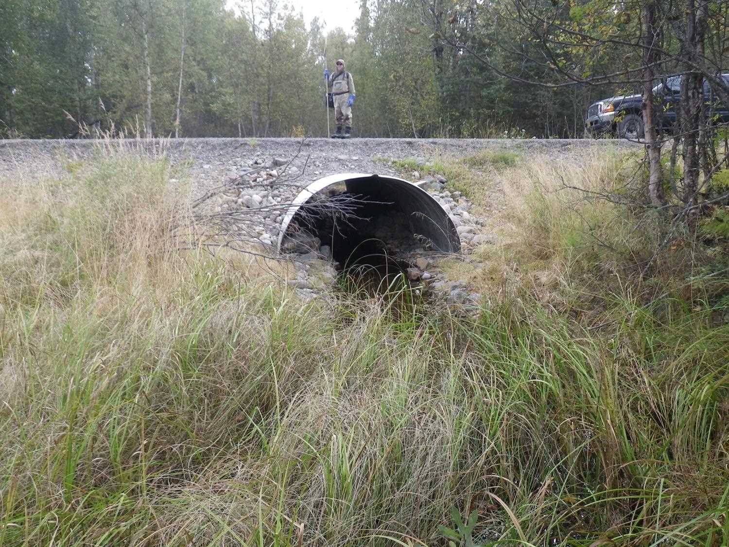
Road Name: Oil Well Road
Datum: WGS84
Quad Name / ITM: Talkeetna A-2
AWC Stream #:
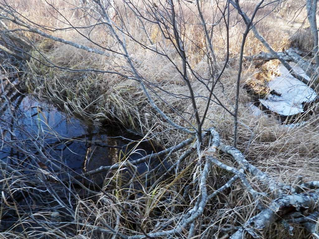
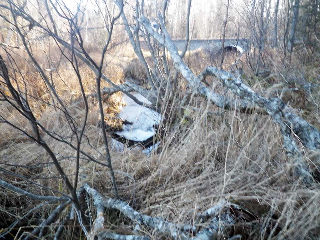
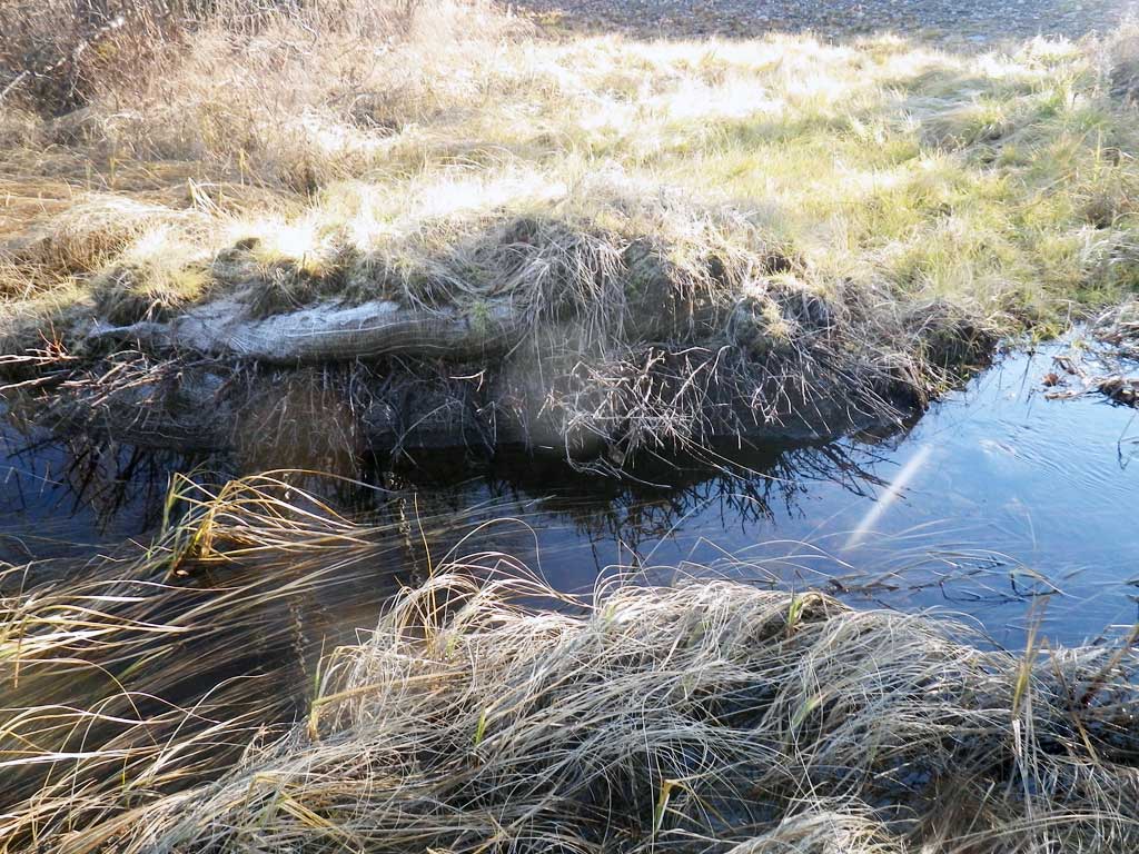
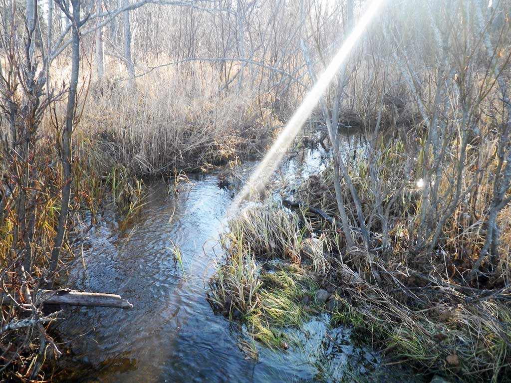
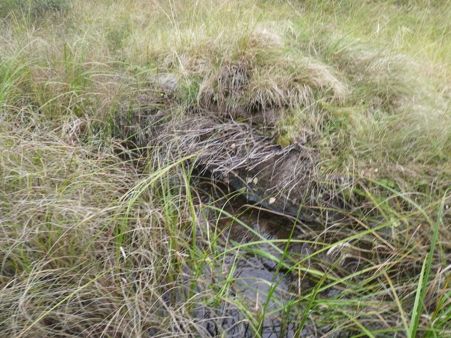
Stream Name: Kroto Creek tributary
Elevation:
Site Comments: None
arrow to the right of the survey date below to choose a different report for this site.
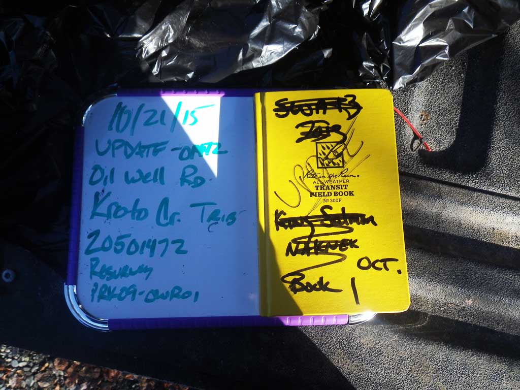
Survey UPDATE-01472
Project Supervisor: Gillian O'Doherty, ADFG
Observers: Gillian O'Doherty, Mark Eisenman
Overall Fish Passage Rating:
Tidal: No
Backwatered: No
Step Pools: No
Construction Year: 2014
Site Observations:
- None of this type
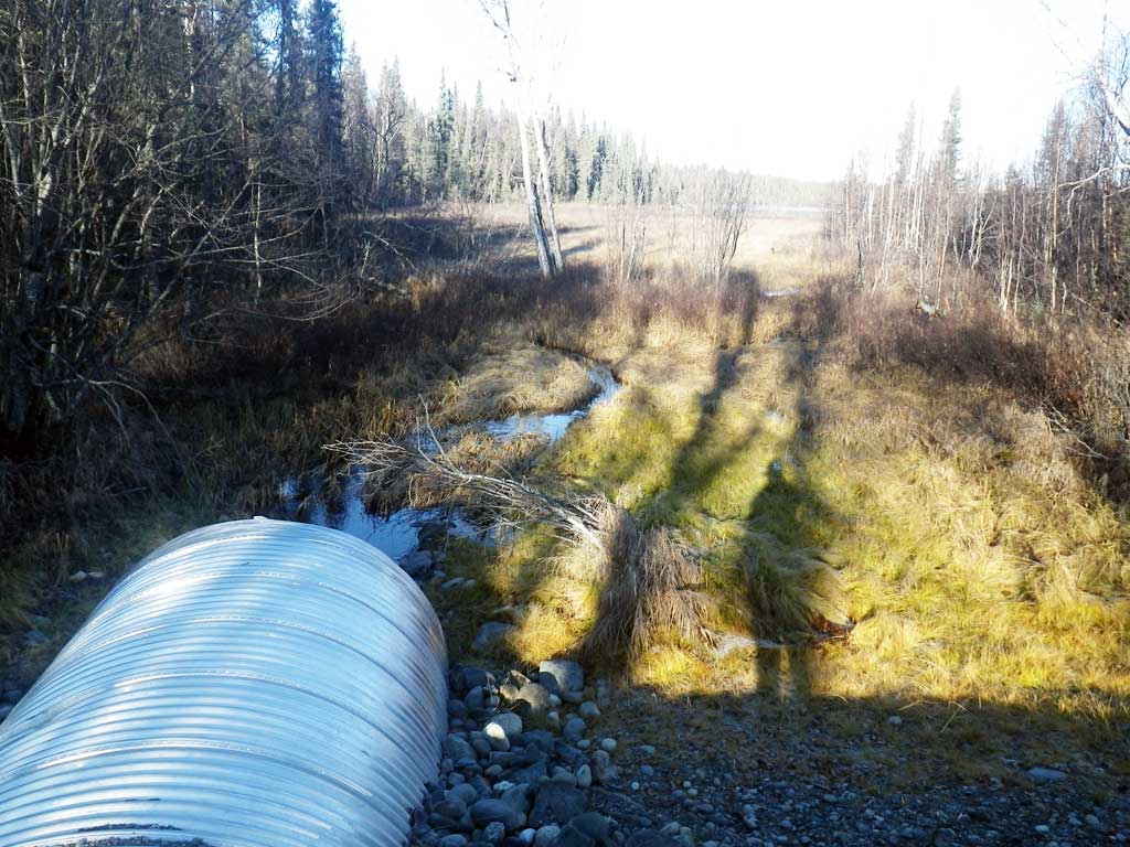
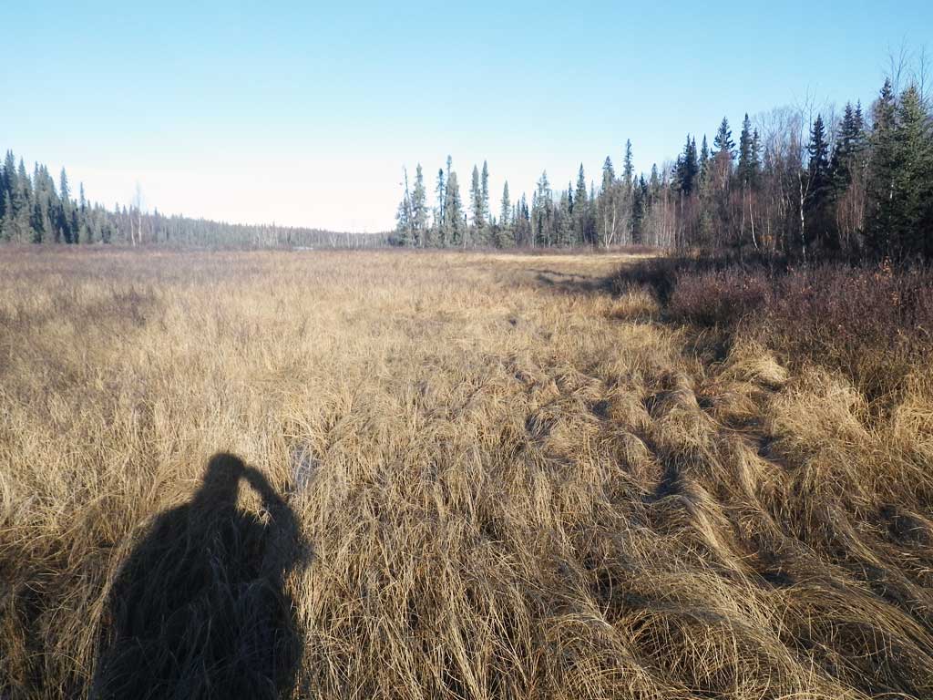
Comments: **Updated site photos added from 9/7/16 site visit from Sampling Unmapped Streams in the MSB project.Fish sampling information entered into AFFI*** Replaced in 2014, resurveyed 10/21/15. No stream widths multiple channels, wetlands and lakes. No fish caught or observed.
Culvert Measurements
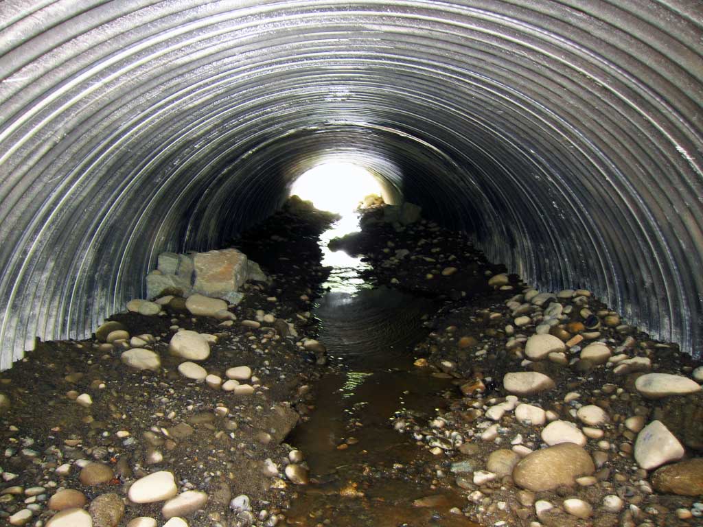
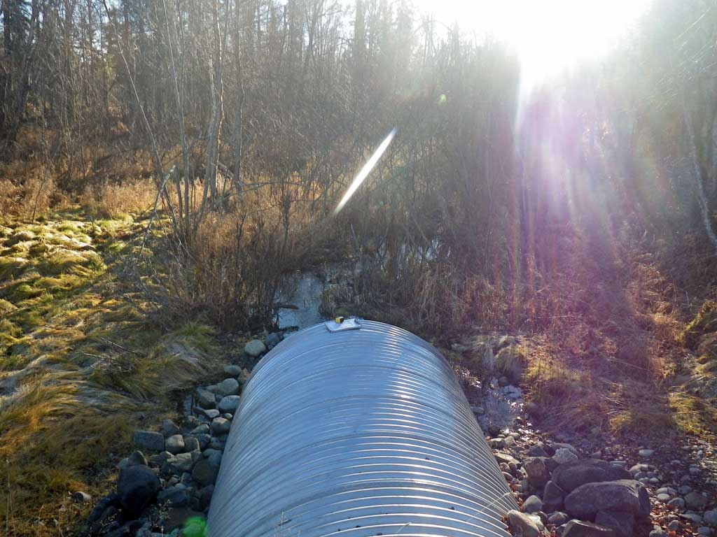
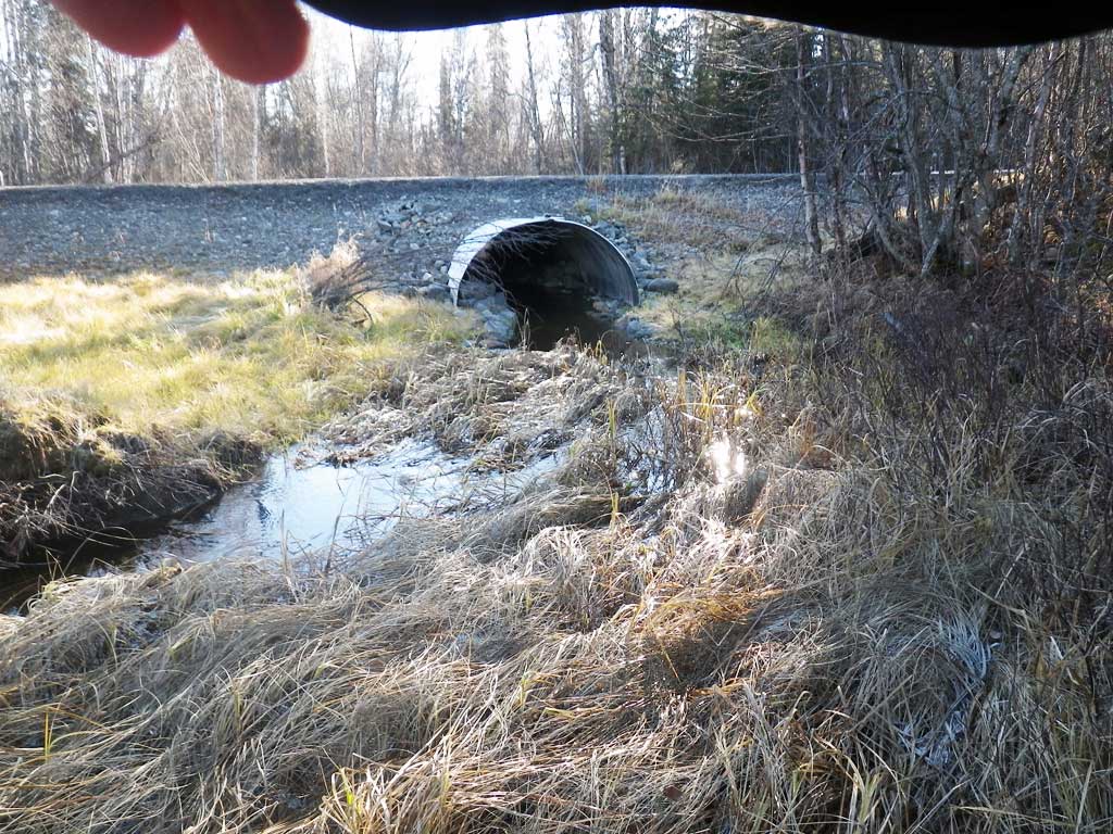
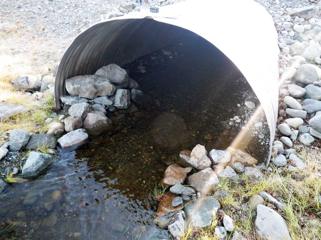
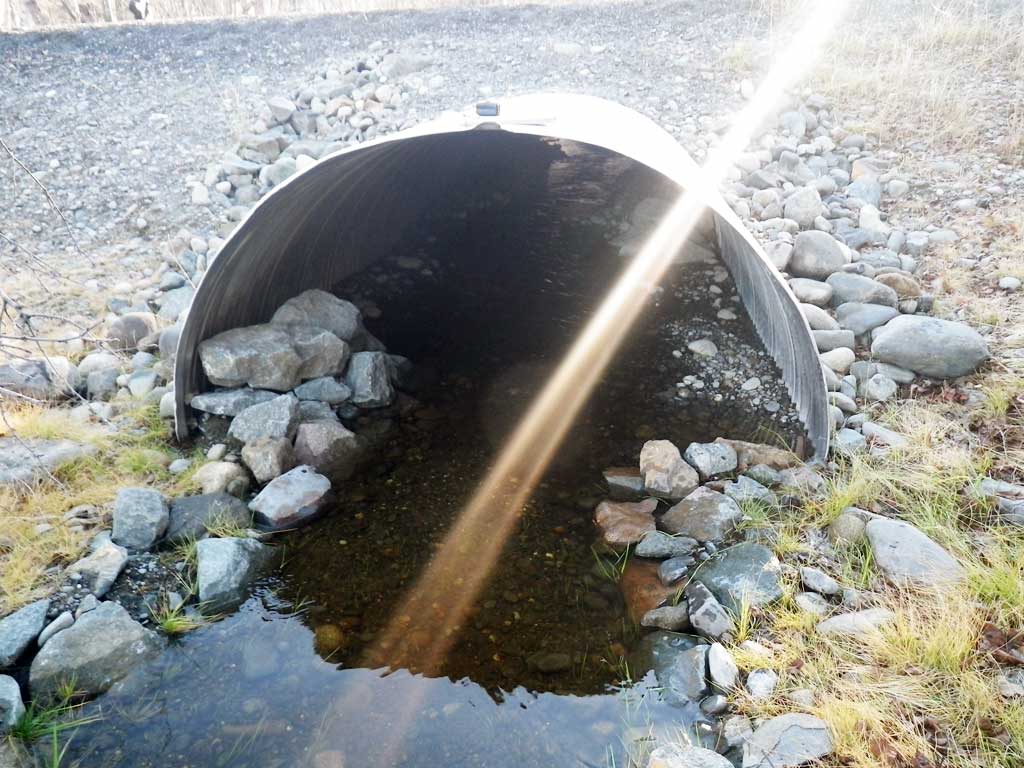
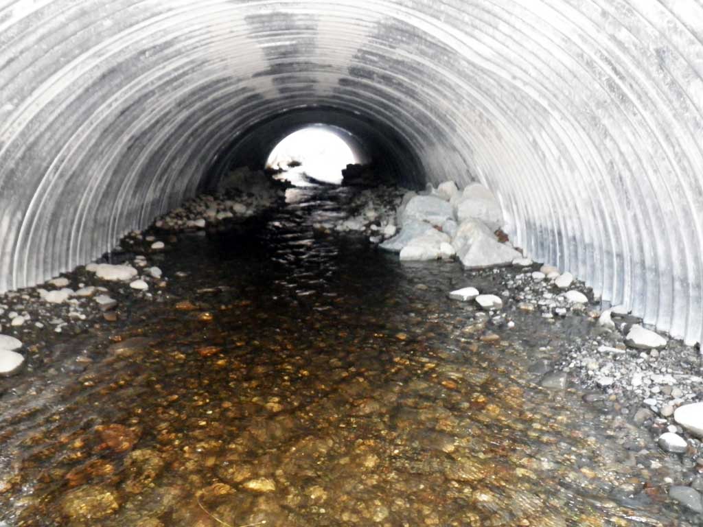
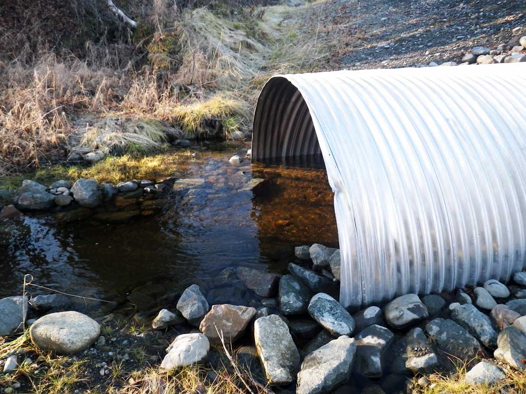
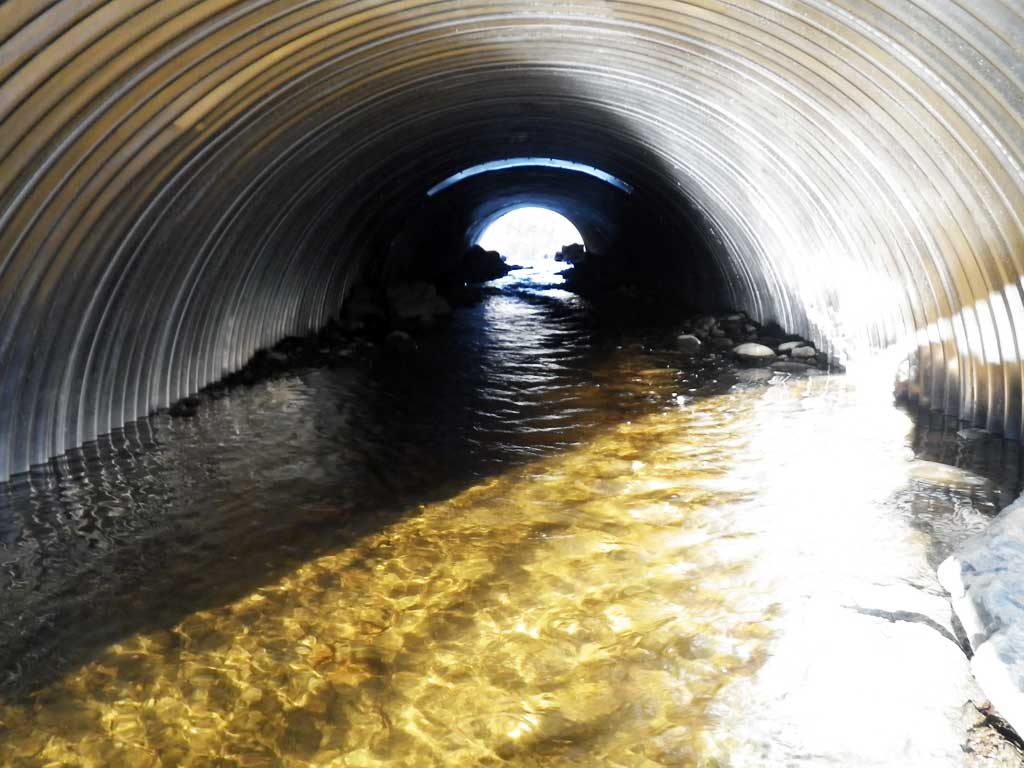
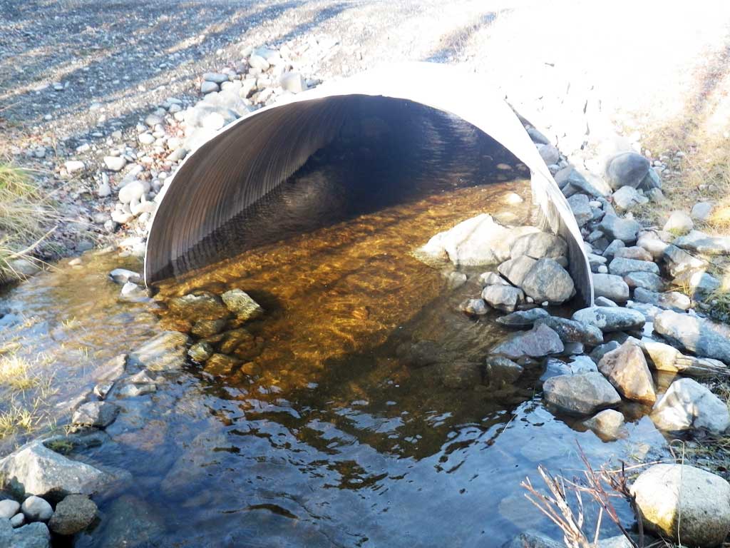
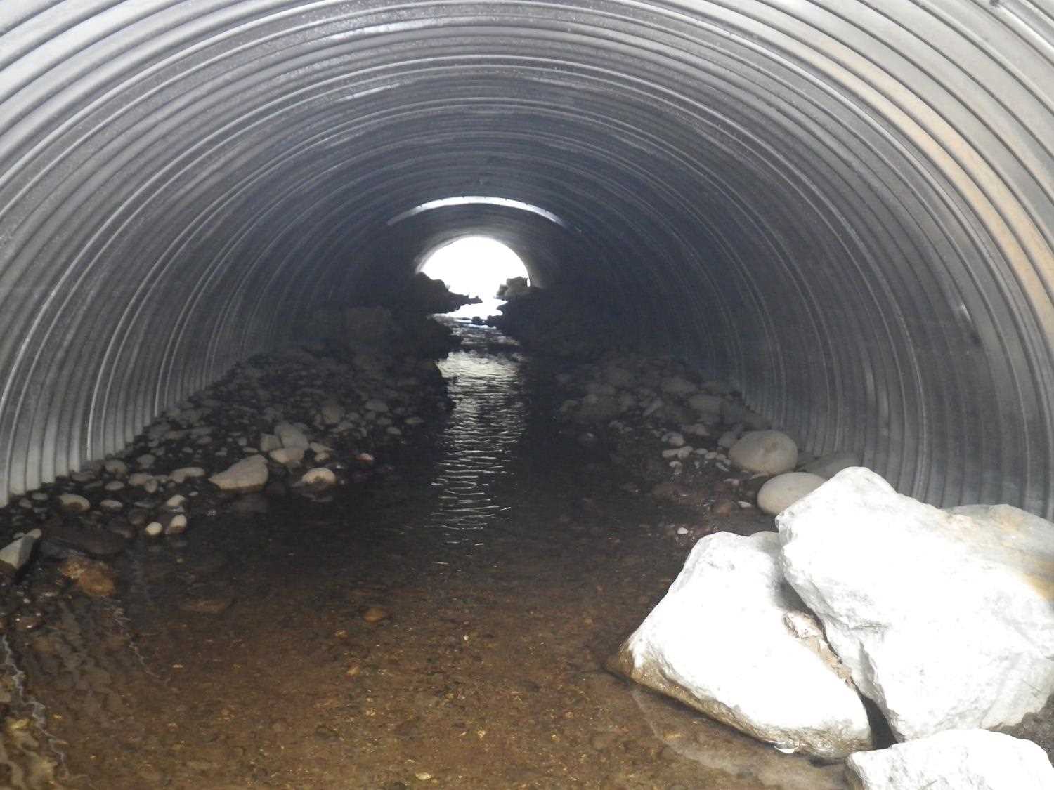
| ID: 1 | Structure Type: Circular pipe (Corrugated steel) | Fish Passage Rating: | ||||||||||||||||||||||||||||||||||||||||||
|
|
|
||||||||||||||||||||||||||||||||||||||||||
Comments: Stream slope taken from replacement plans. Plans call for a pipe arch but culvert appears to be a circular CSP. |
||||||||||||||||||||||||||||||||||||||||||||
Culvert Observations:
|
||||||||||||||||||||||||||||||||||||||||||||
Stream Measurements
|
|
No stream width data available.
Elevations
| Locator ID | Culvert Number |
River Distance (ft)1 |
Distance From Crossing (ft)2 |
Relative Elevation (ft) |
|---|---|---|---|---|
| Road Elev | 102.24 | |||
| Outlet Culvert Top | 0.00 | 99.48 | ||
| Outlet Invert (on substrate) | 0.00 | 95.39 | ||
| D/S Water Surface Elev | 0.00 | 95.91 | ||
| Inlet Culvert Invert (on substrate) | 60.60 | 95.97 | ||
| U/S Water Surface Elev | 60.60 | 96.39 | ||
| Inlet Culvert Top | 60.60 | 100.14 |
Notes:
- River distance is measured continuously throughout the survey reach along the thalweg of the stream.
- Measured from each end of the crossing along the thalweg of the stream.
Fish Sampling Efforts
| Gear Type: Minnow Trap (A) | Trap Duration(h): 30.0 | |
| Comments: No fish caught or observed | ||
| Gear Type: Minnow Trap (B) | Trap Duration(h): 30.0 | |
| Comments: No fish caught or observerd | ||
Fish Observations
No fish observations occurred during this survey.
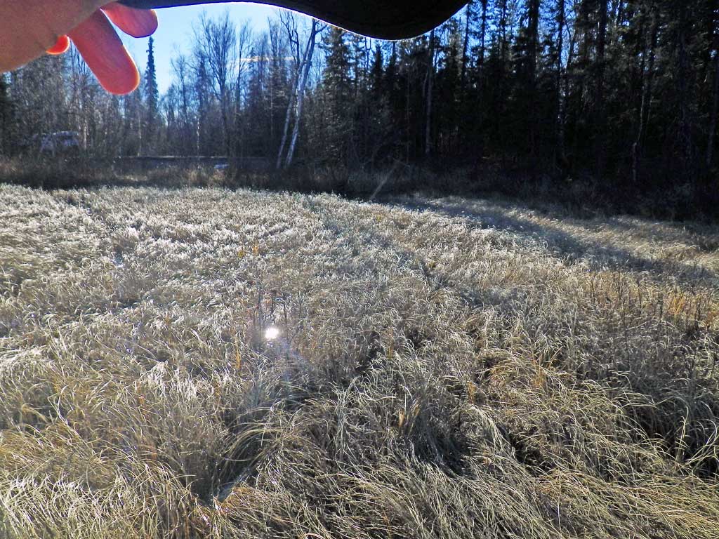
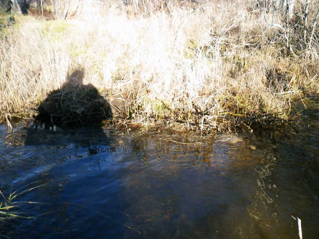
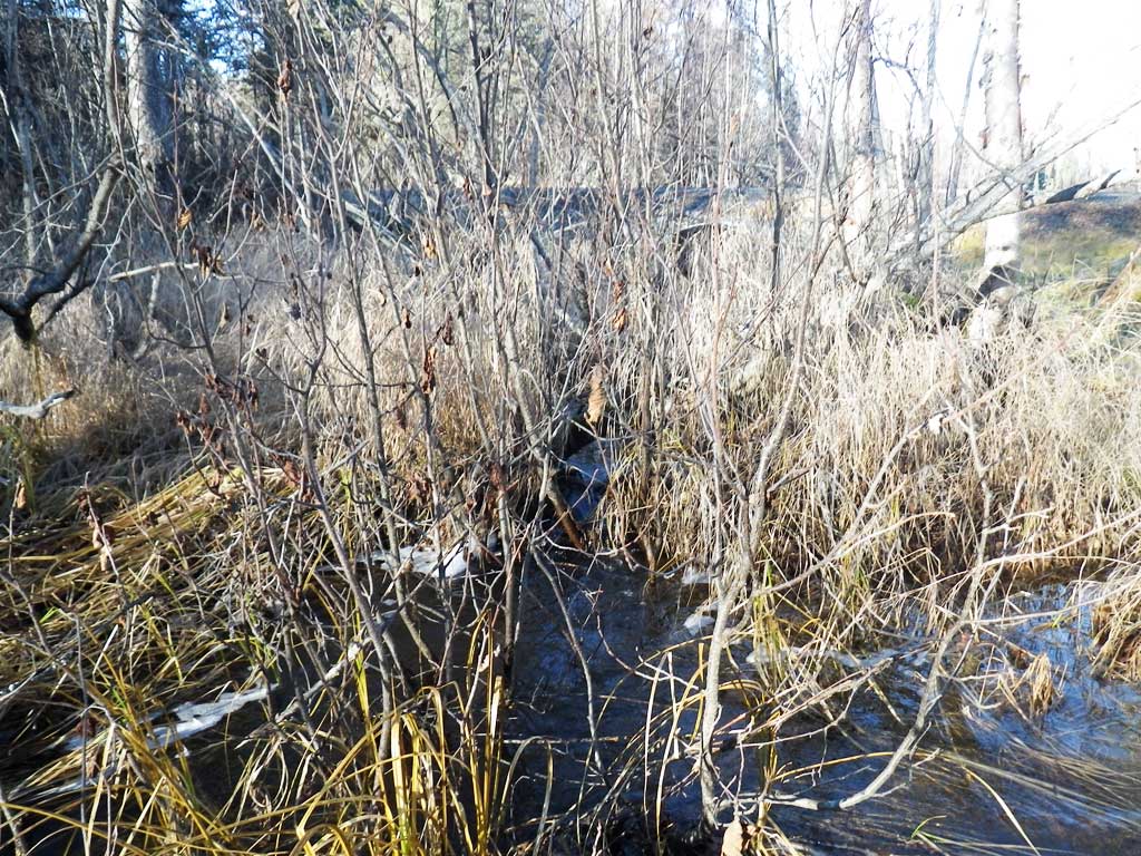
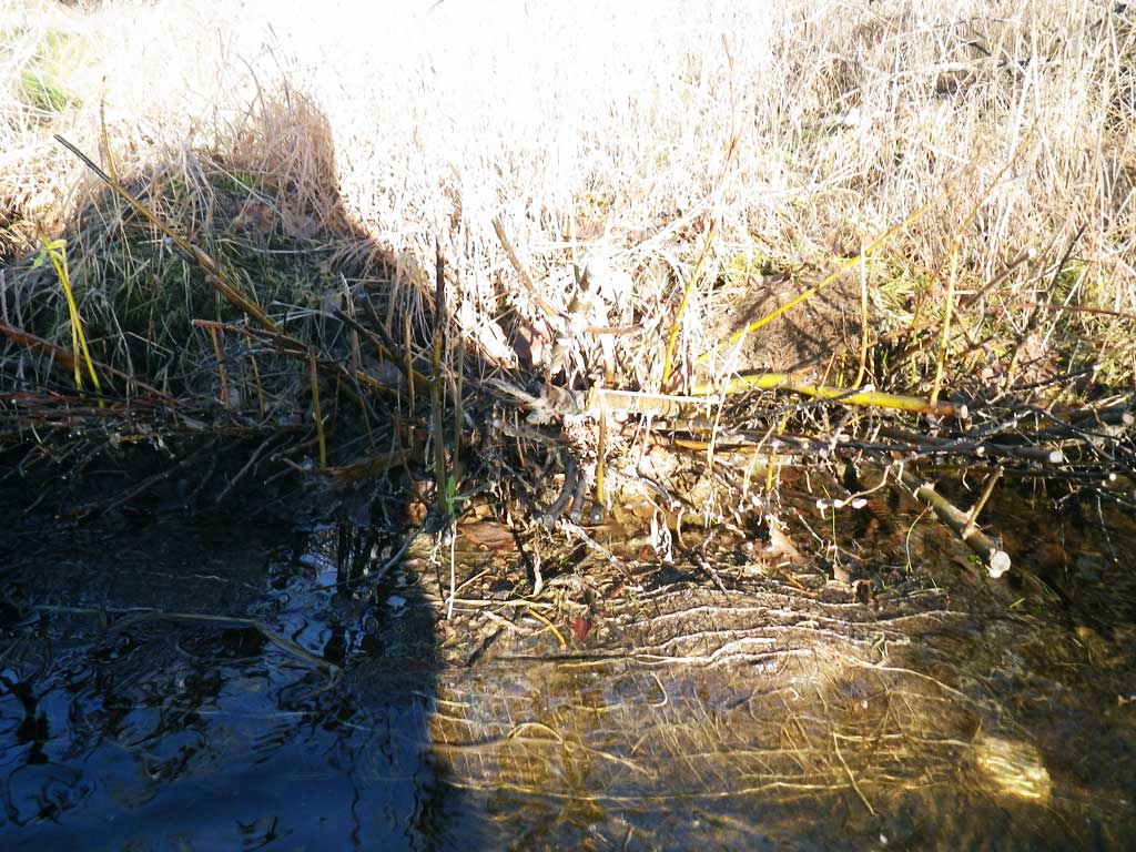
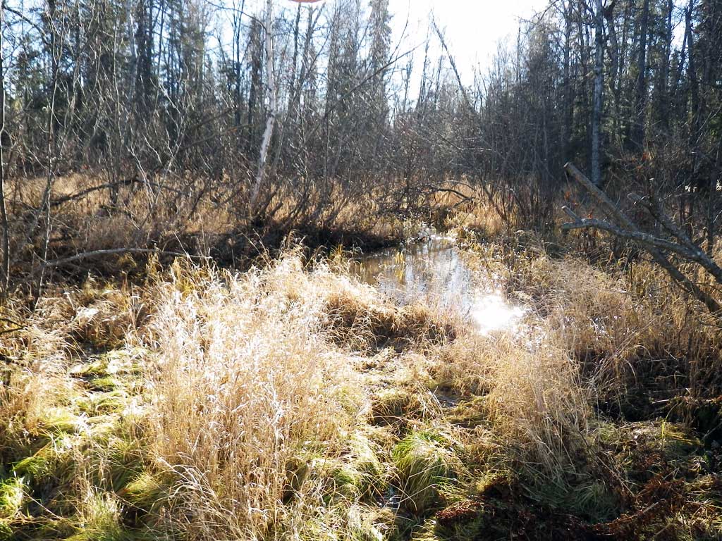
Photos


Questions or comments about this report can be directed to dfg.dsf.webmaster@alaska.gov