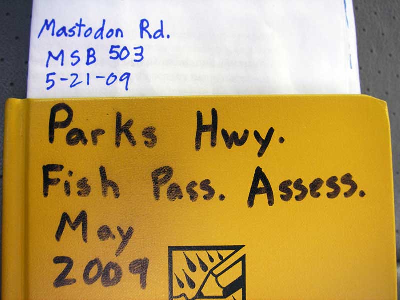
Fish Passage Site 20501470
Coordinates (dec. deg.): 62.28277°, -149.95096°
Legal Description: S025N004W02
Region: South Central
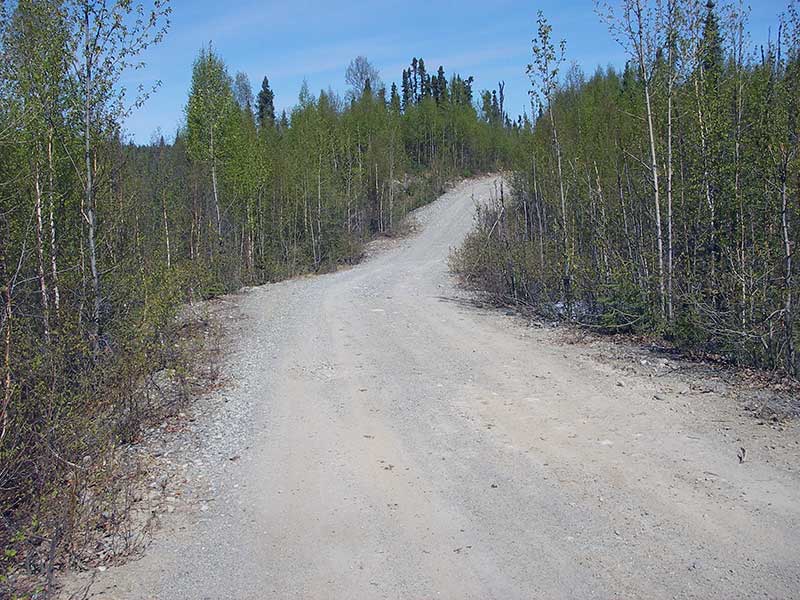
Road Name: Mastodon Road
Datum: WGS84
Quad Name / ITM: Talkeetna Mts B-6
AWC Stream #:
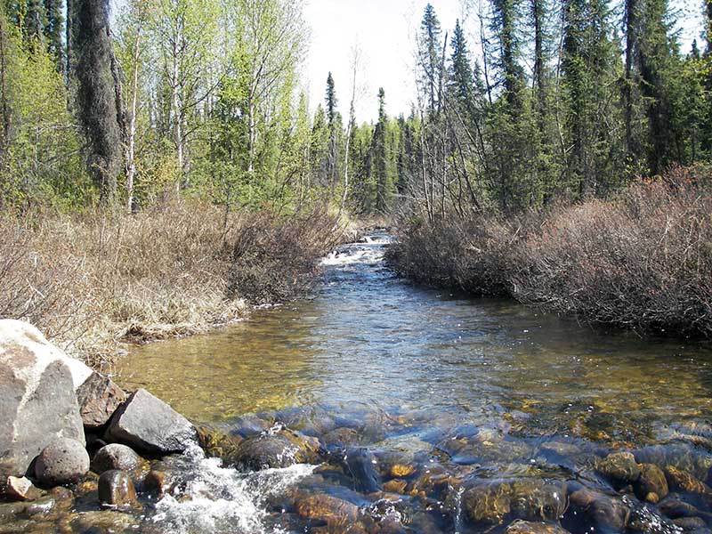
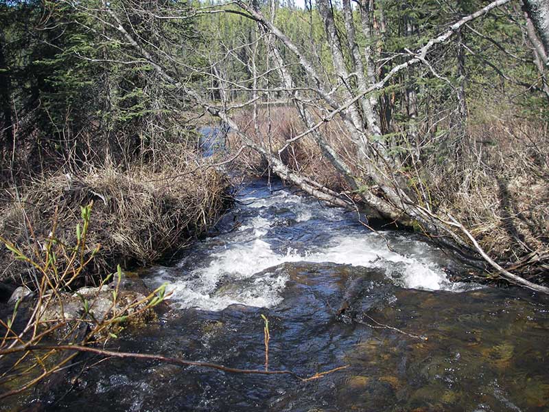
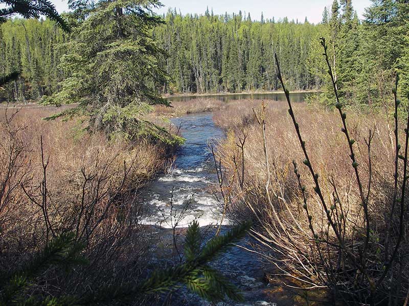
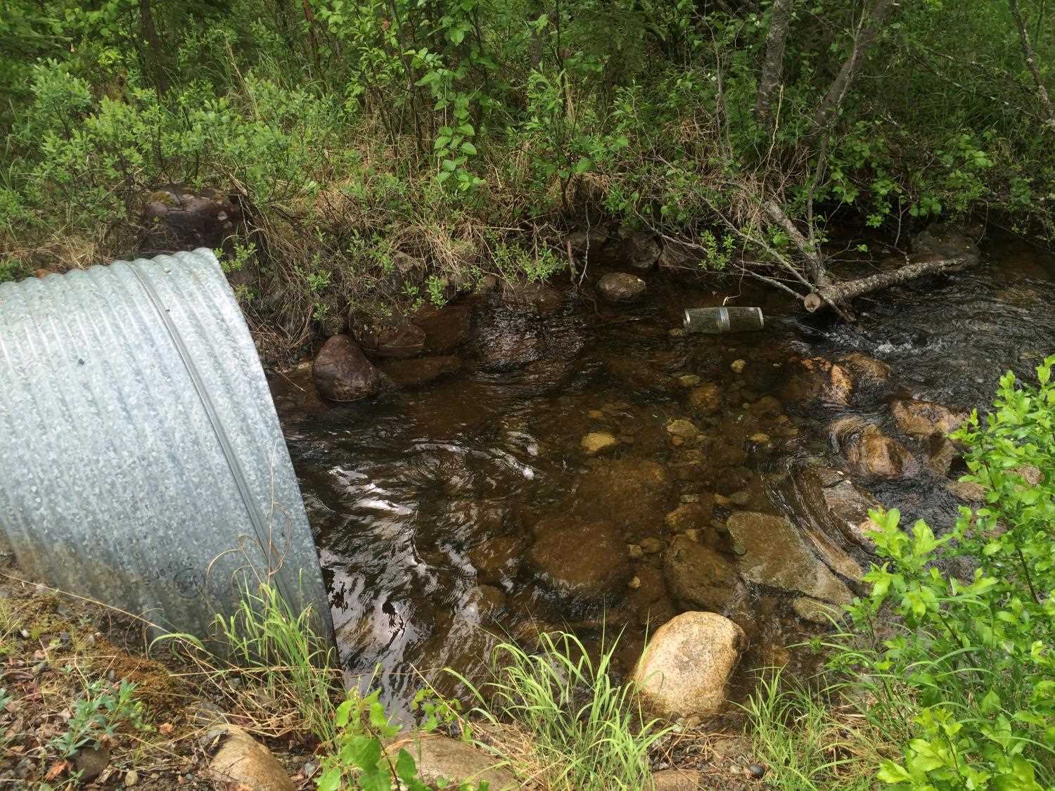
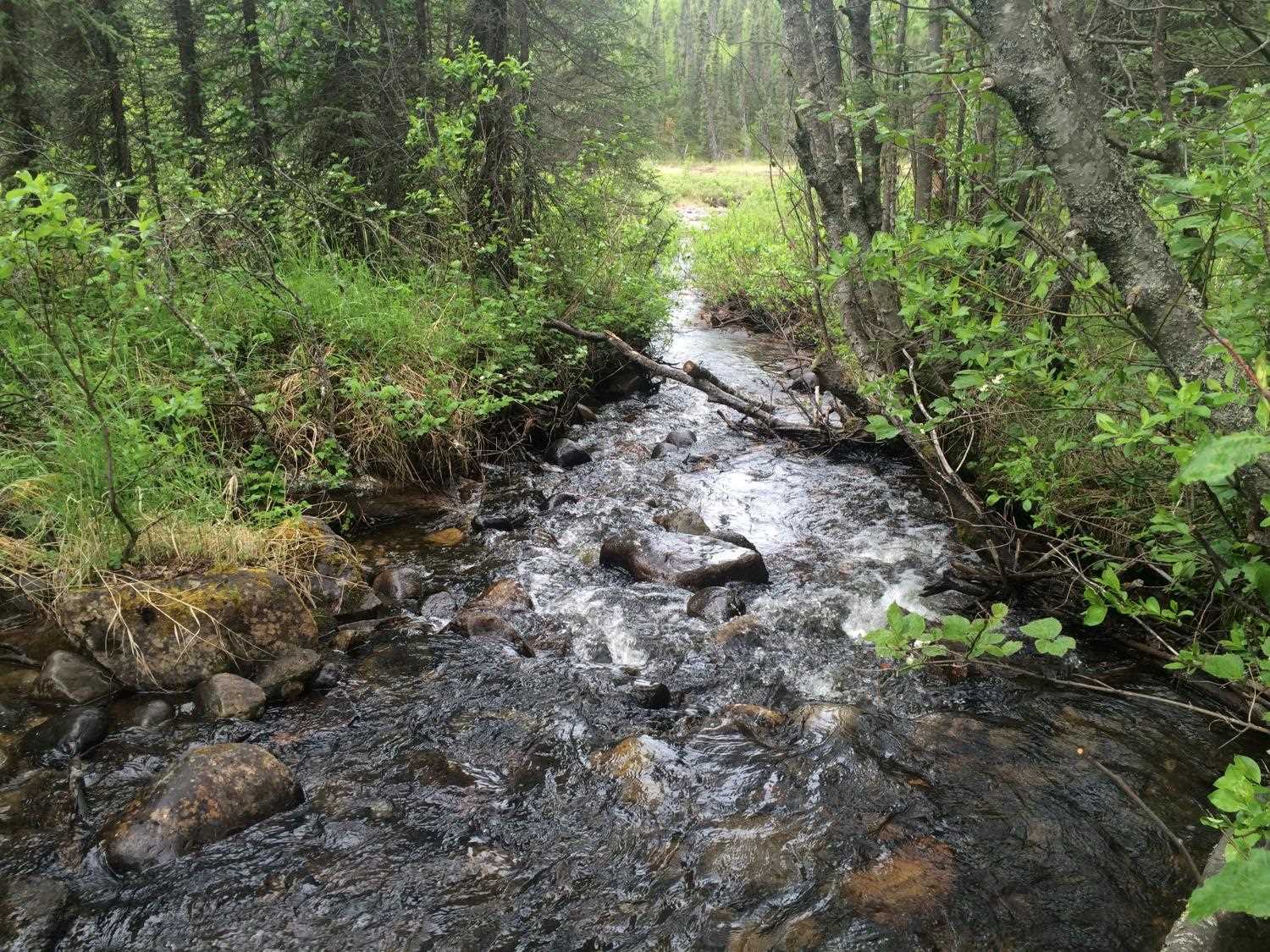
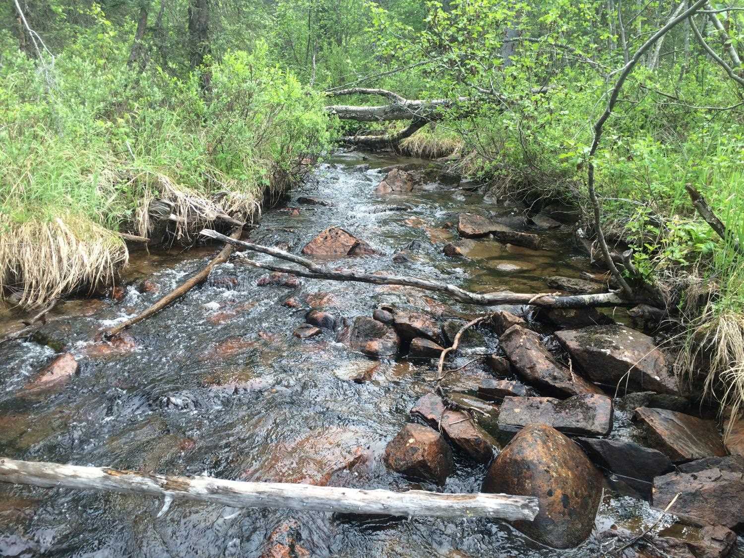
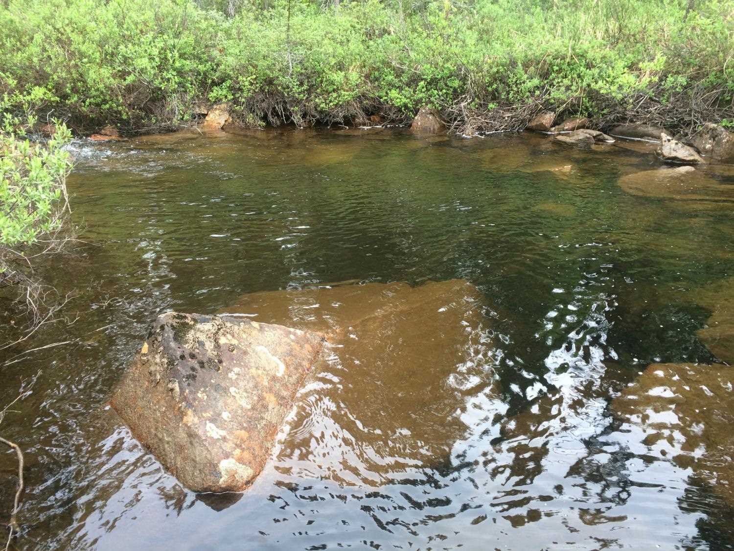
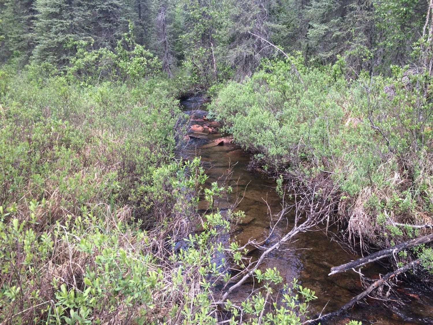
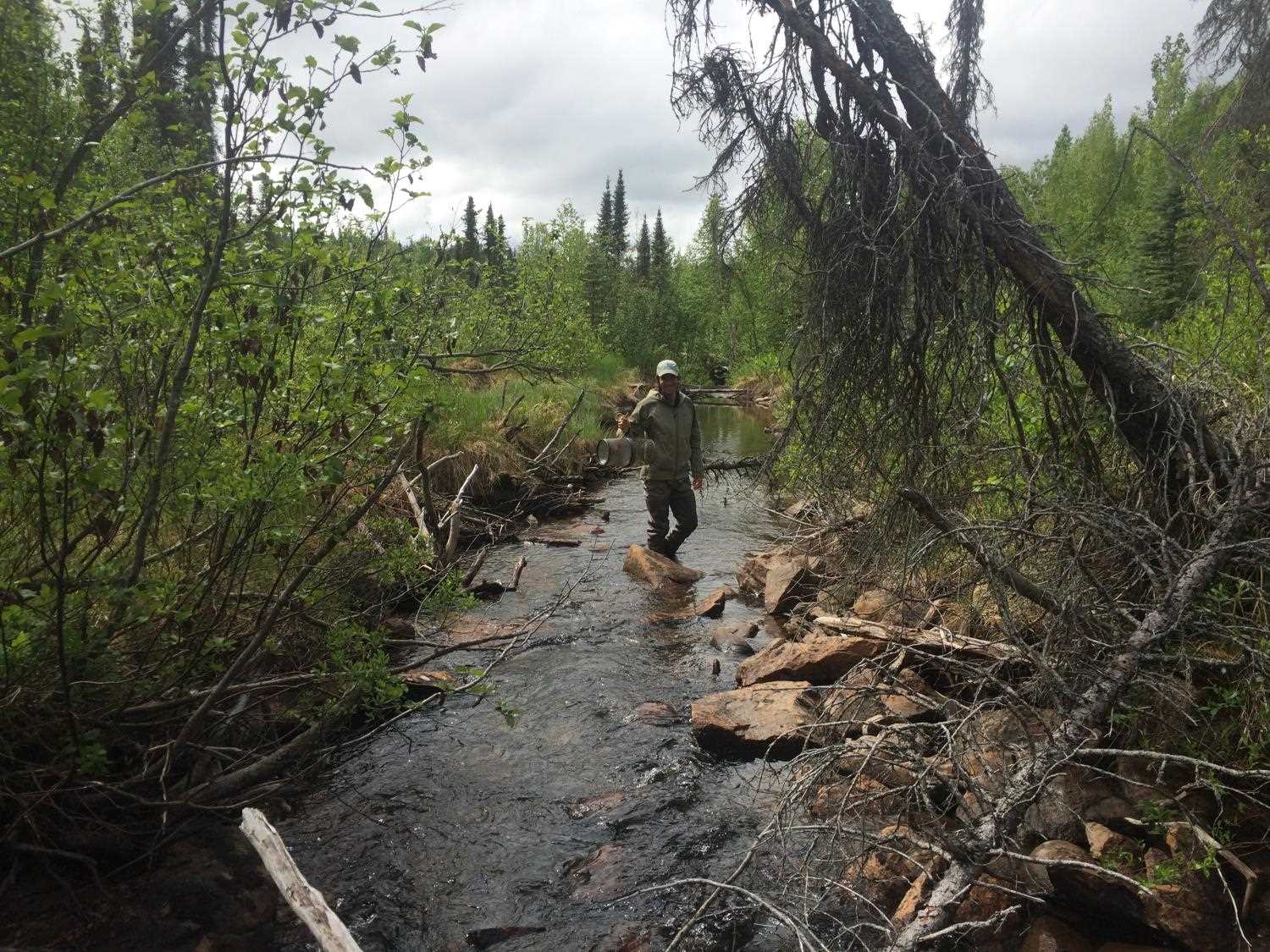
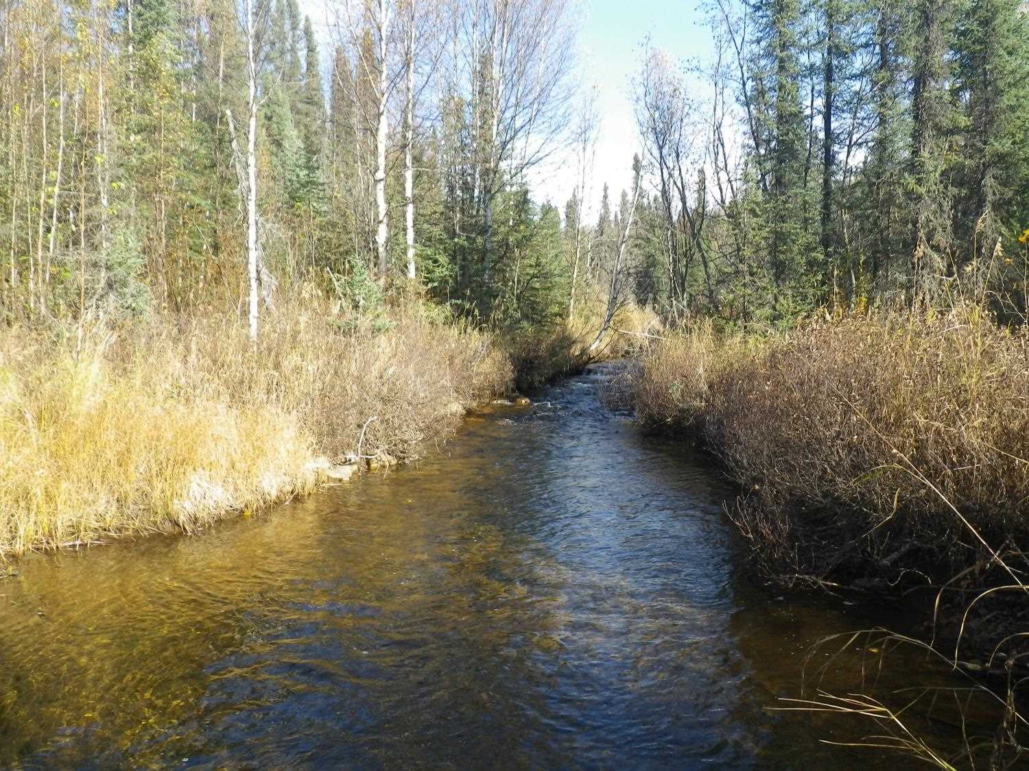
Stream Name: Birch Creek tributary
Elevation:
Site Comments: None
Survey PRK09-MST01
Project Supervisor: Gillian O'Doherty, ADFG
Observers: Heidi Zimmer, Ben Histand
Overall Fish Passage Rating:
Tidal: No
Backwatered: No
Step Pools: No
Construction Year:
Site Observations:
- Constriction ratio gray
- Culvert gradient gray
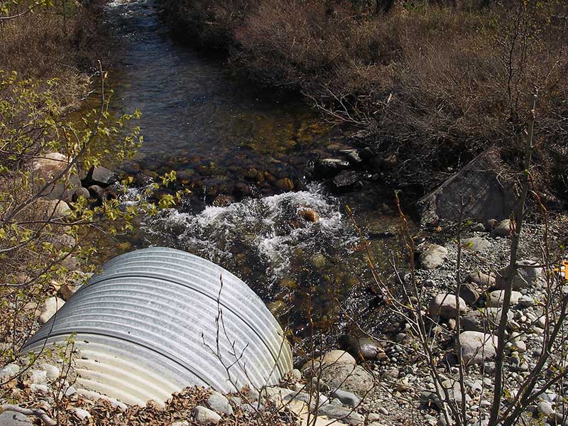
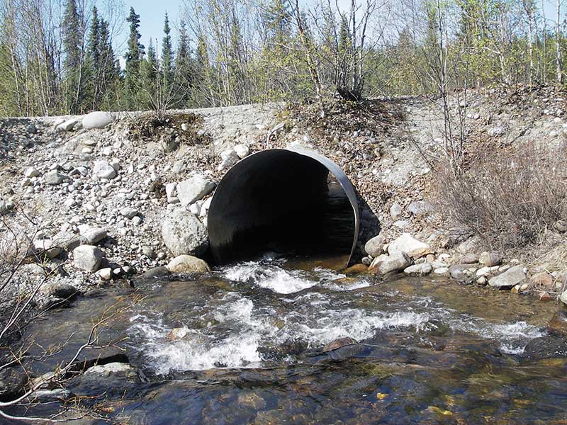
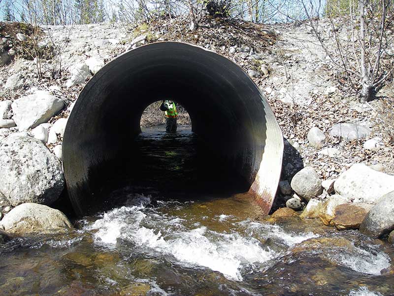
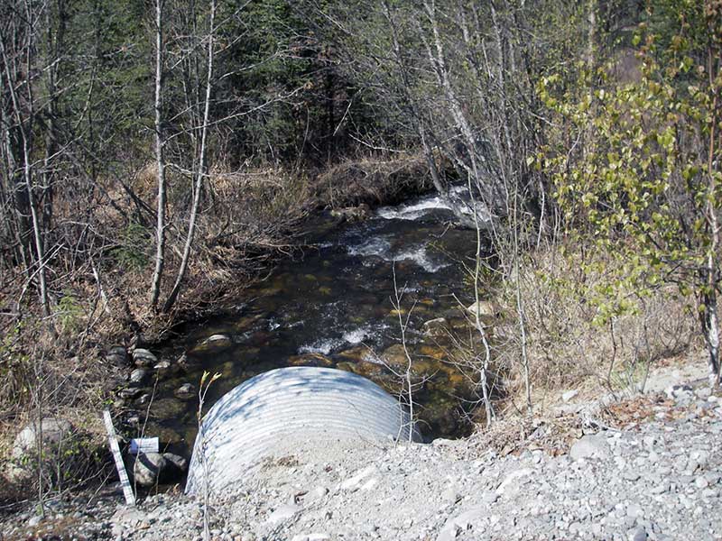
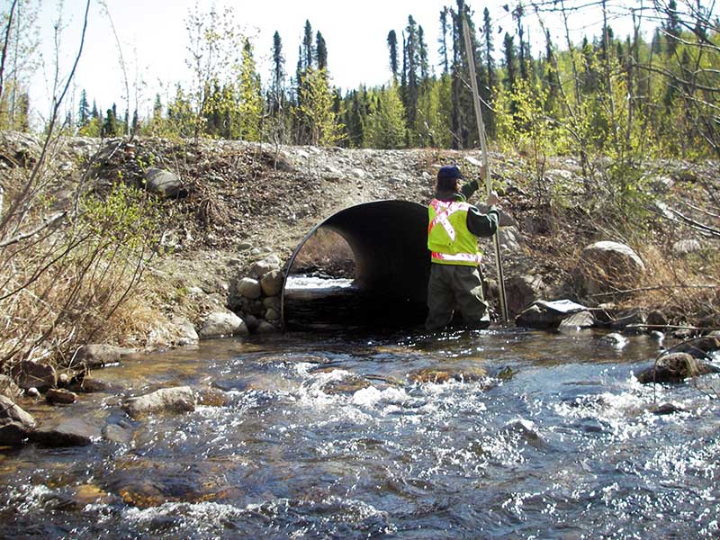
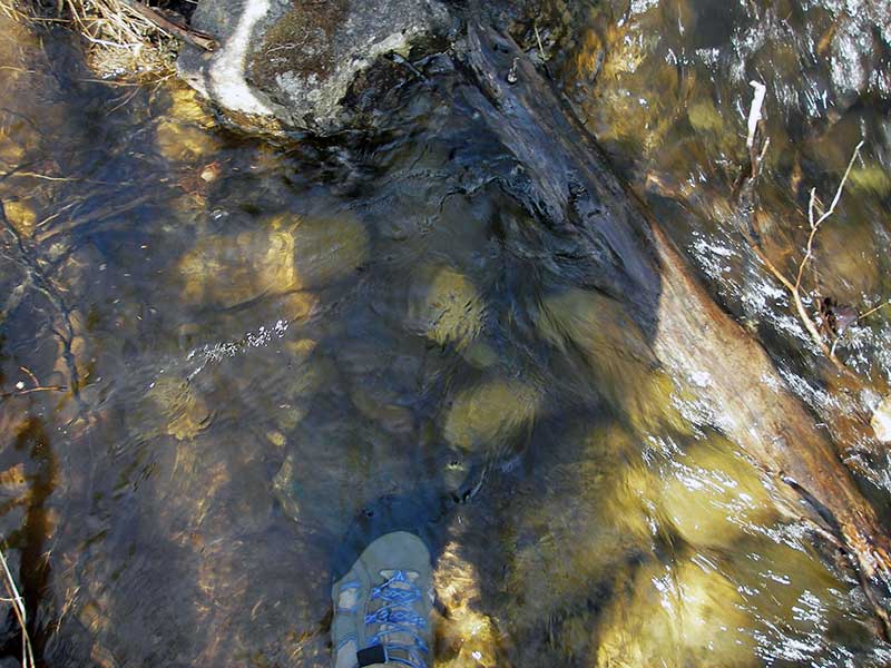
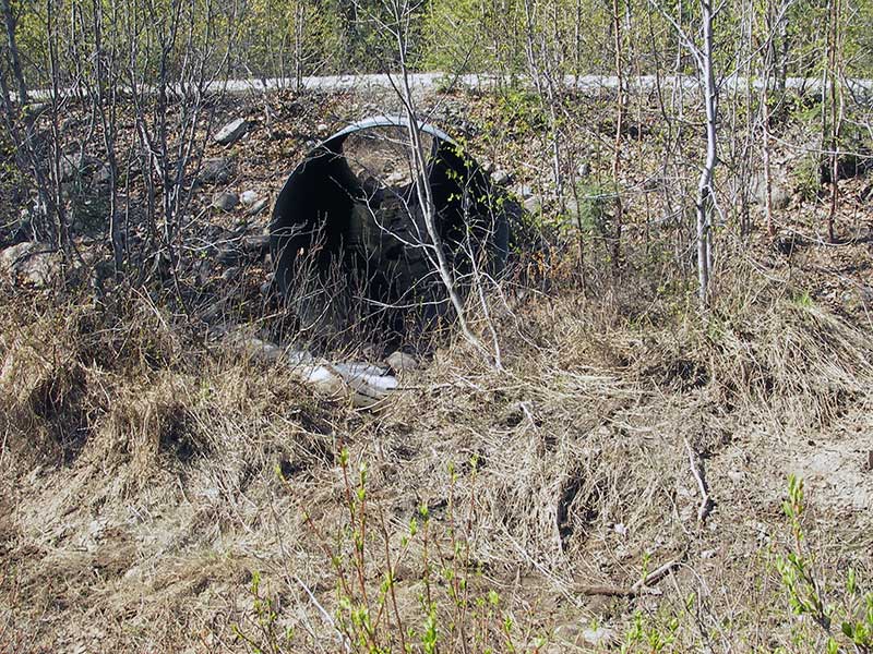
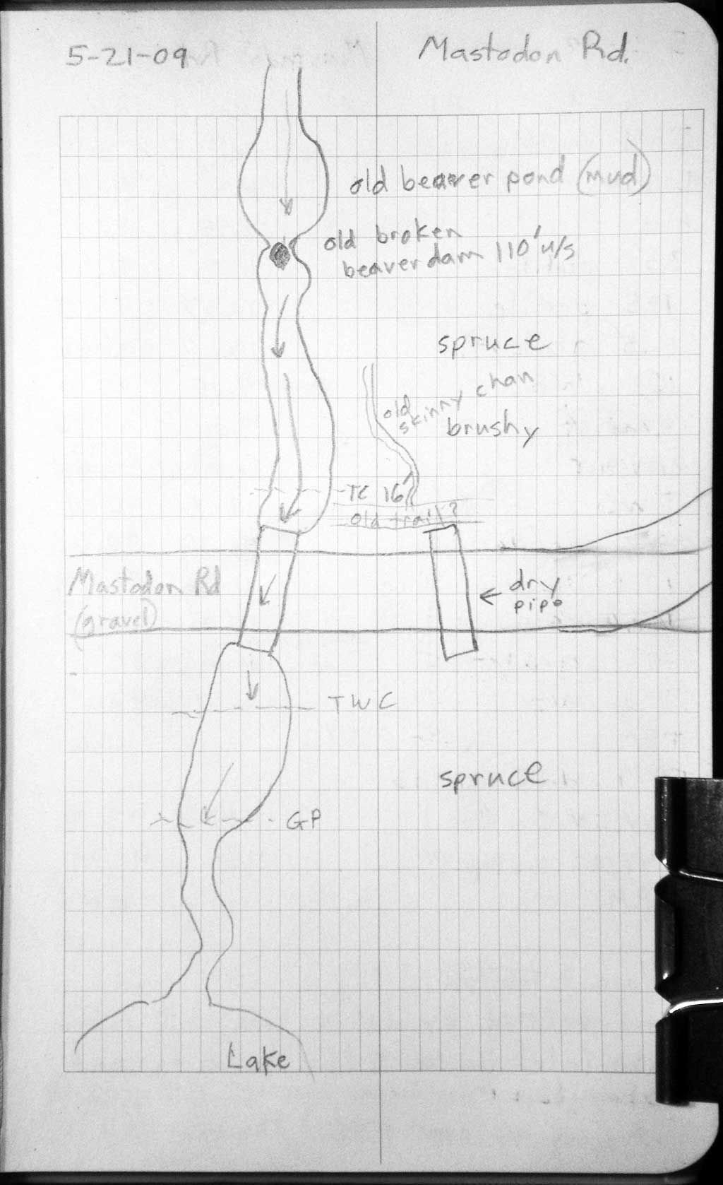
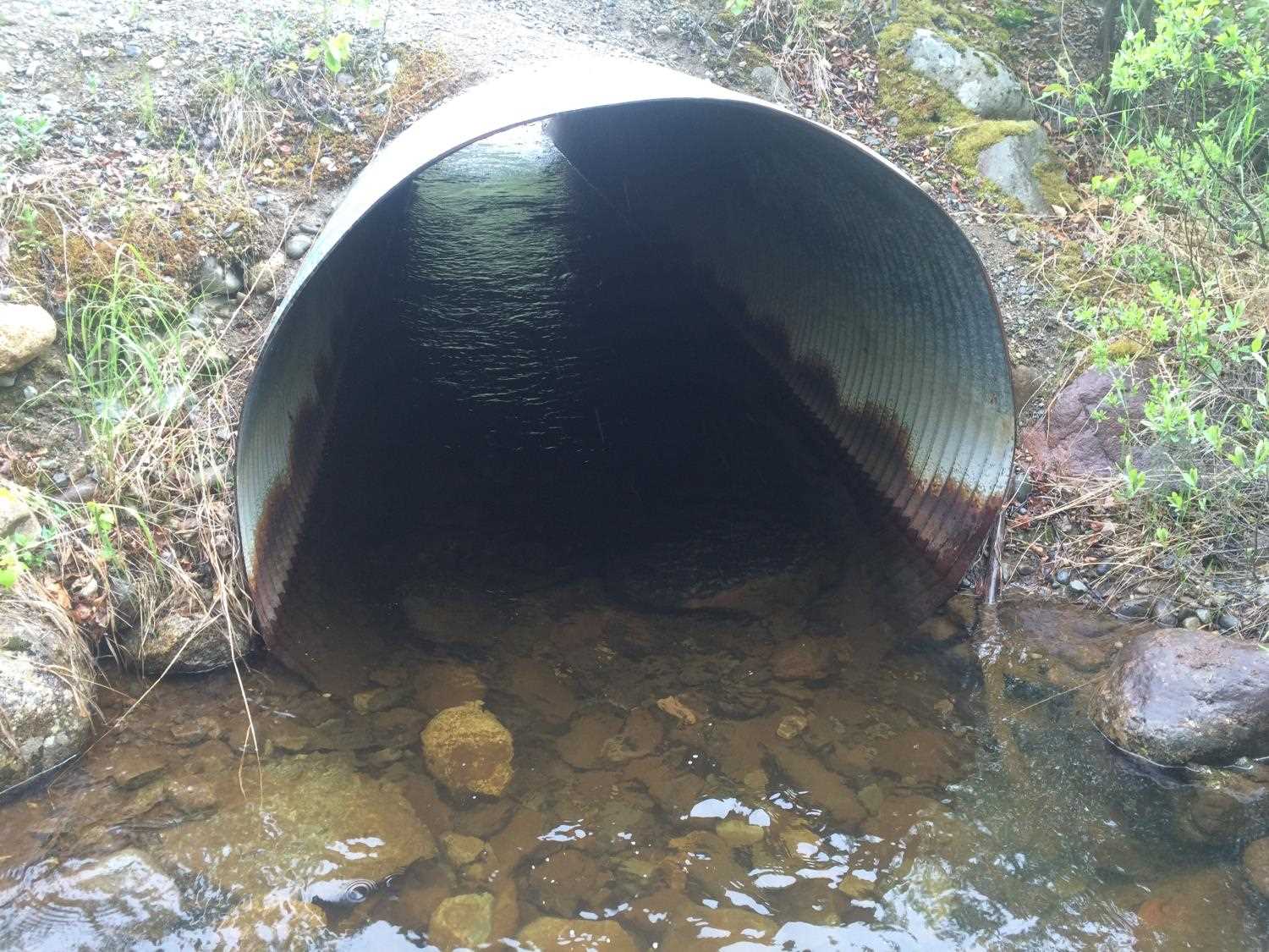
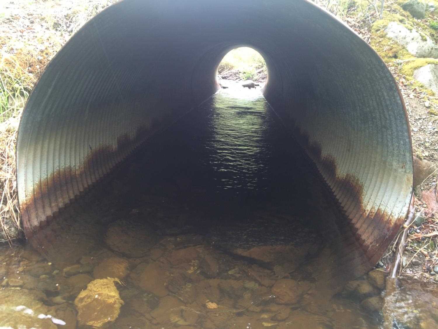
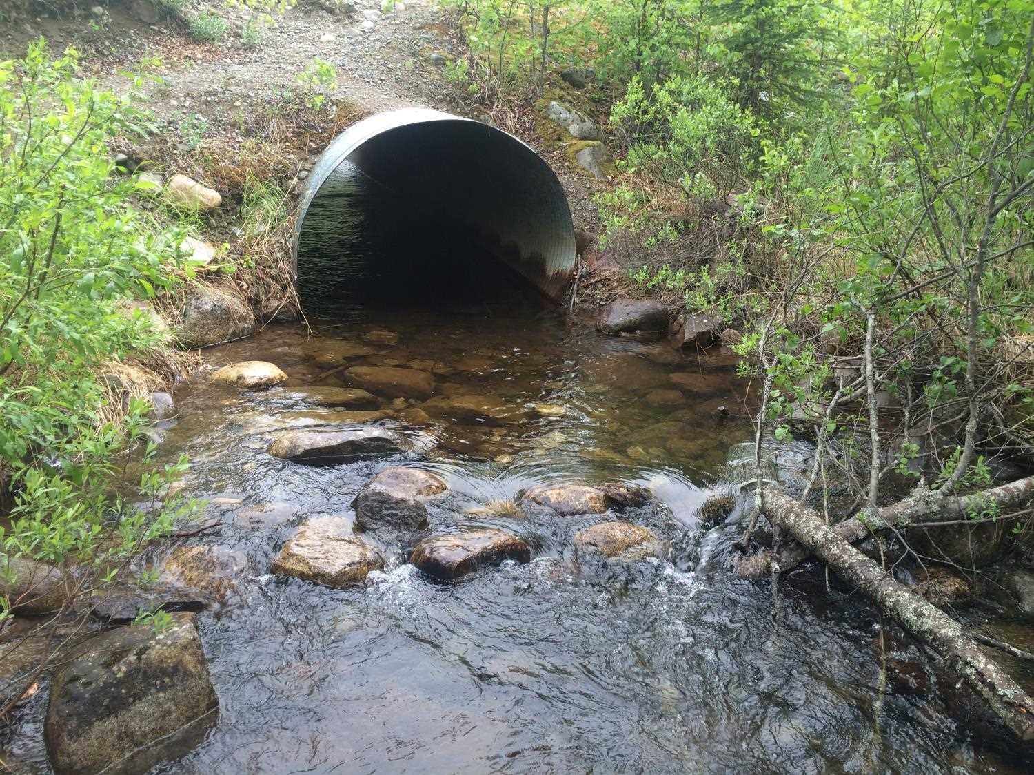
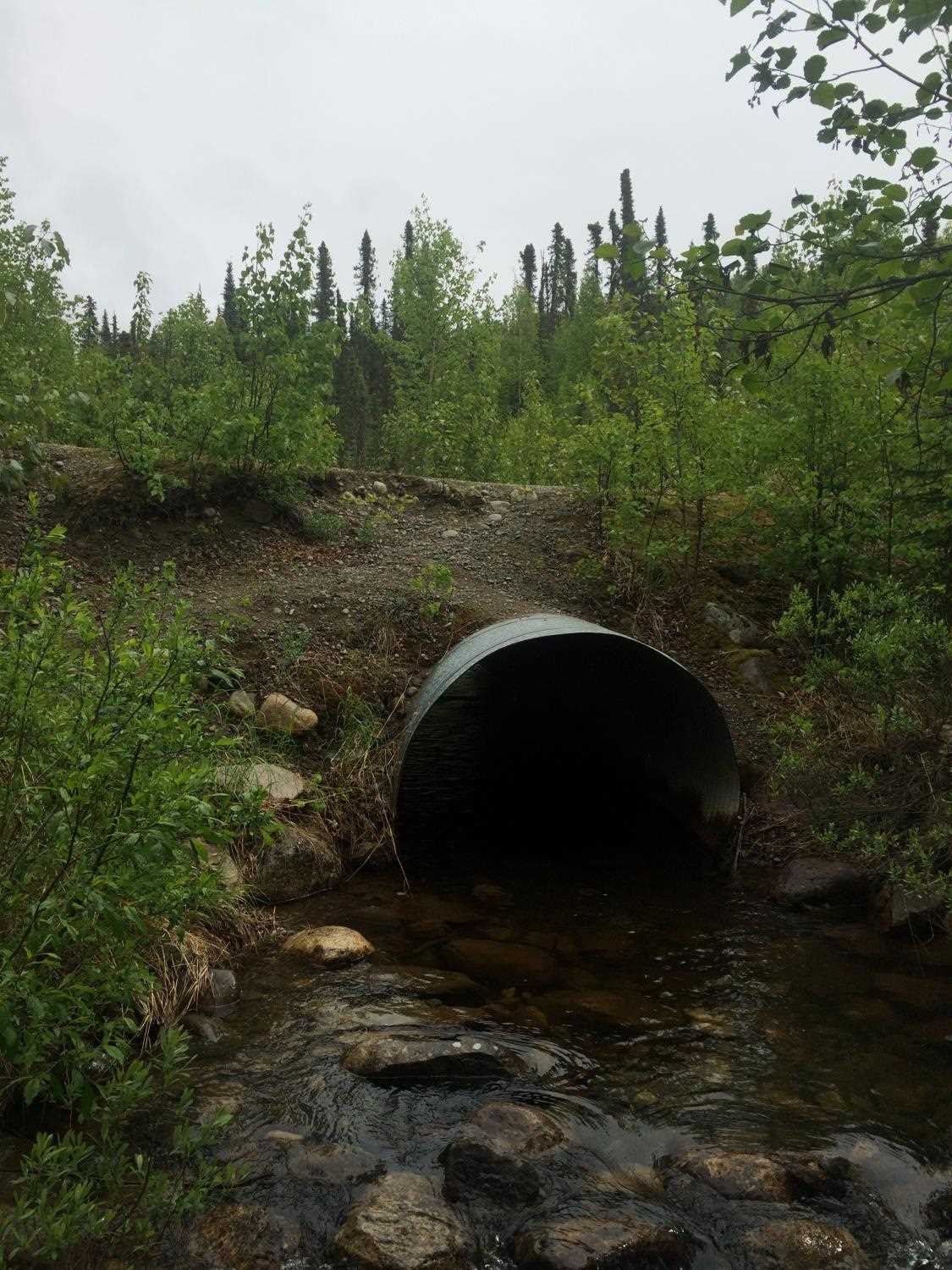
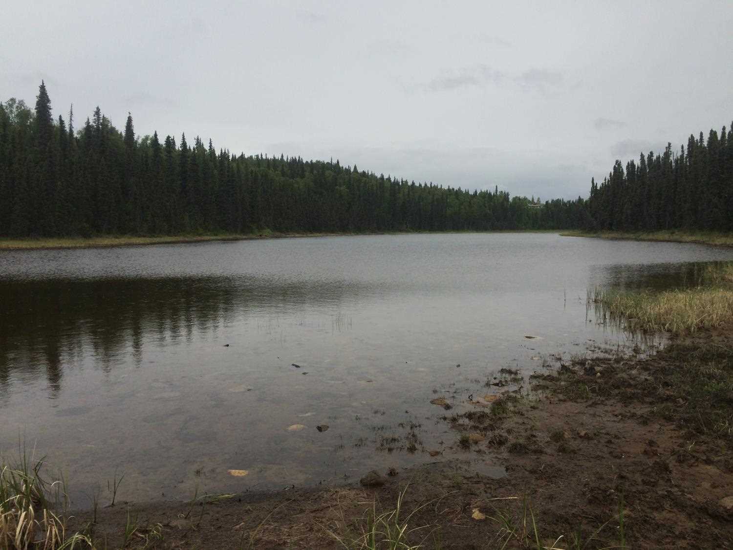
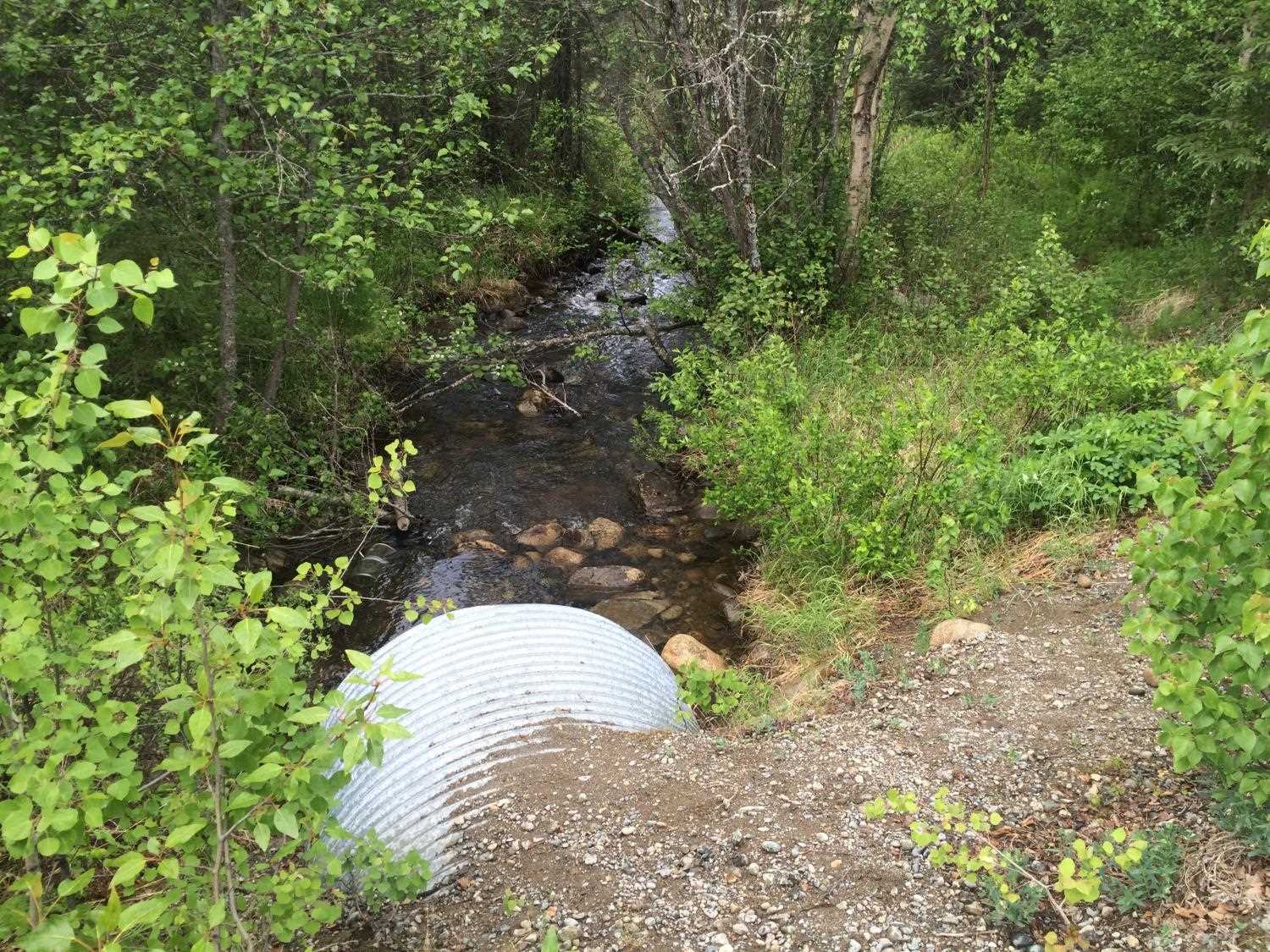
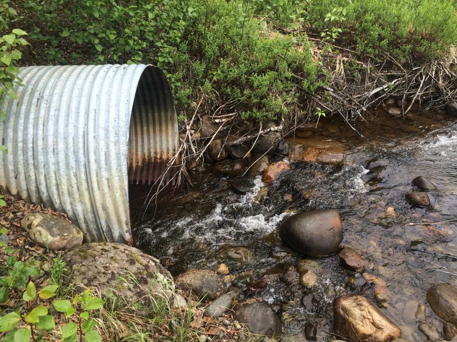
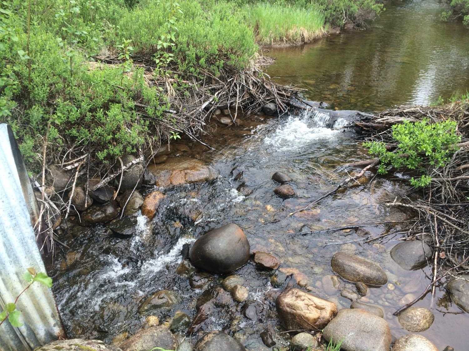
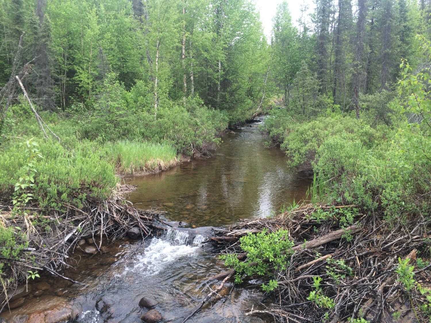
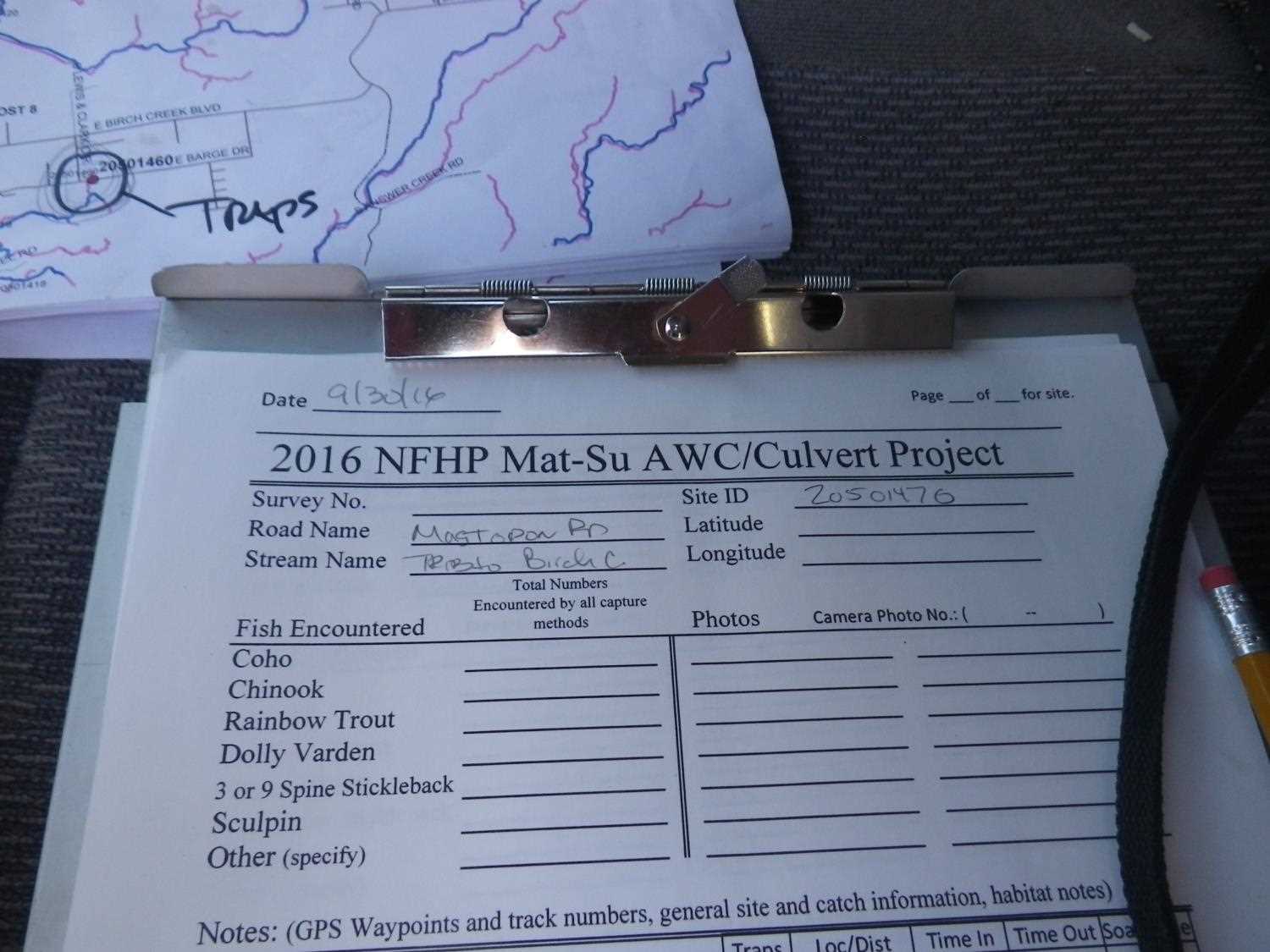
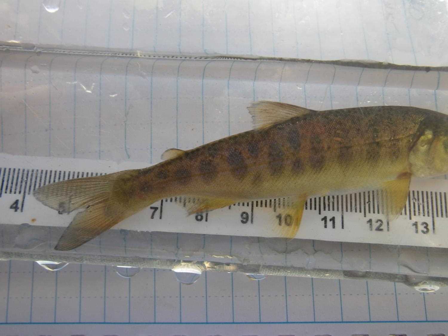
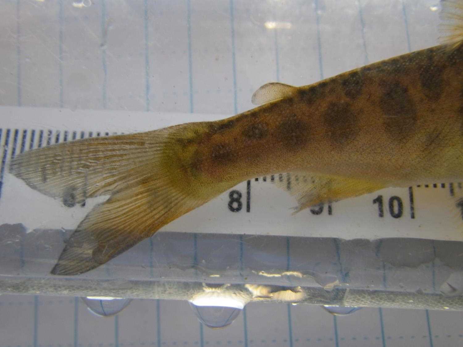
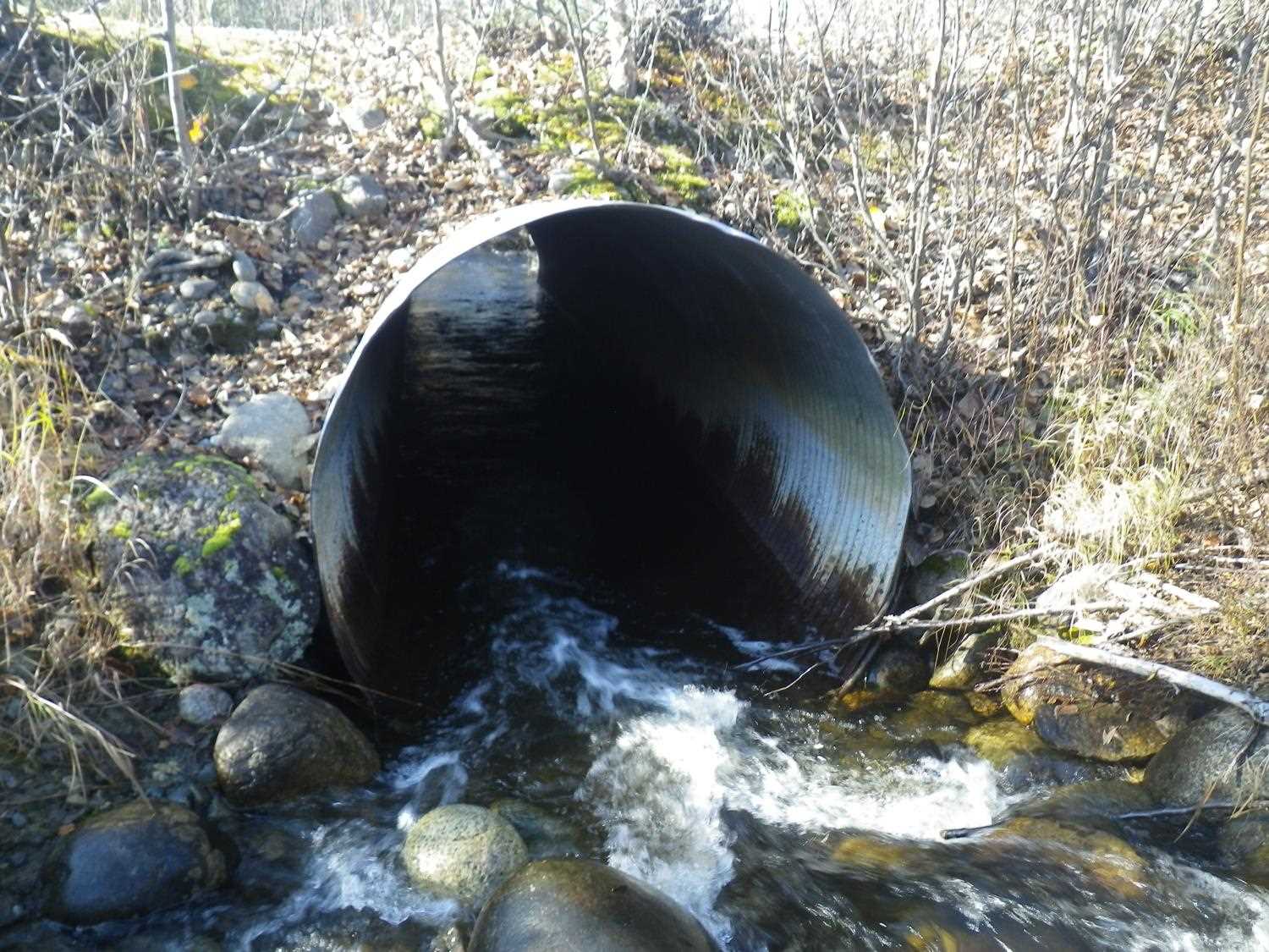
Comments: **Updated site photos added from 9/30/16 site visit from Sampling Unmapped Streams in the MSB project. Fish sampling information entered into AFFI. ** **Updated site photos from 6/15/15 site visit*** TWC higher than Inverts = Backwatered, but steep riffle at inlet causes high velocity; overflow pipe 30ft south. Old beaver poinds 80 and 190 feet upstream.
Culvert Measurements
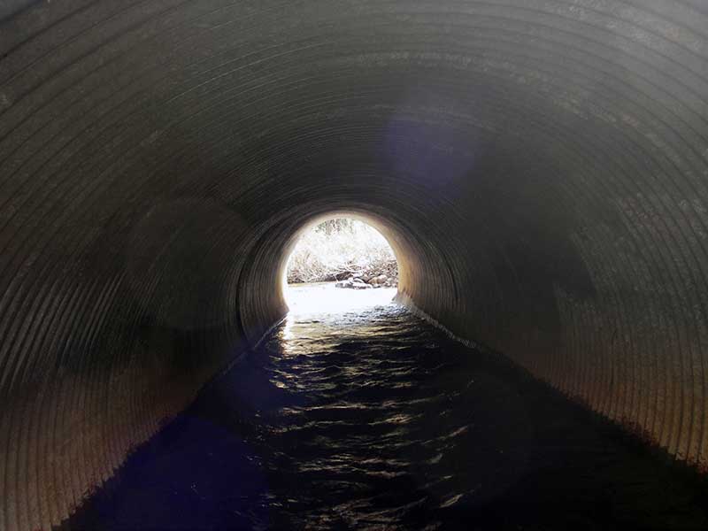
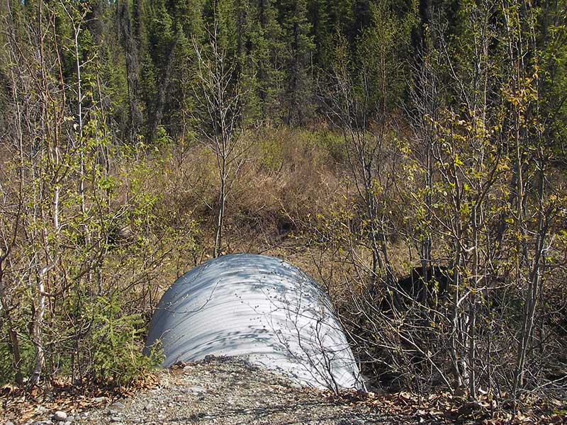
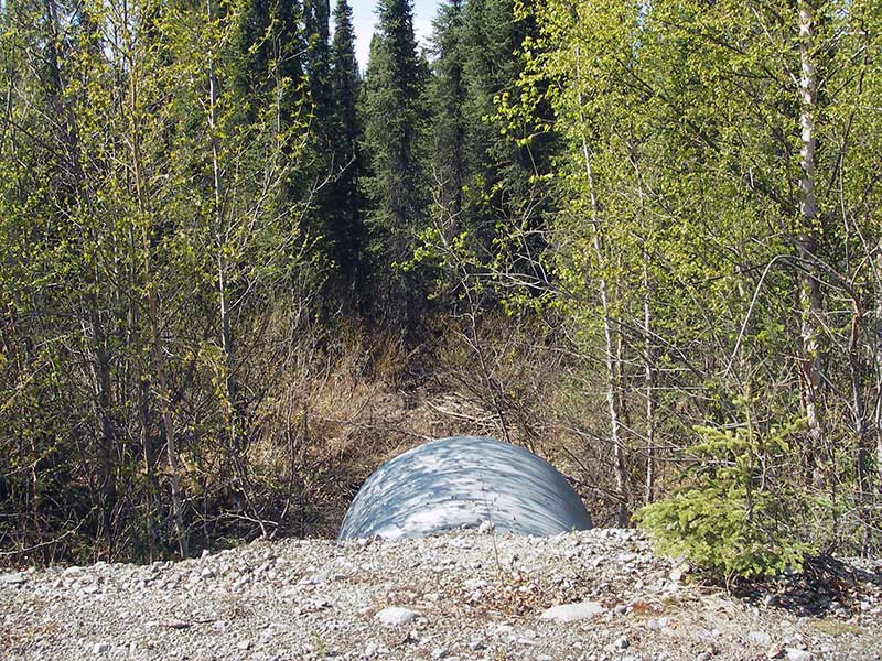
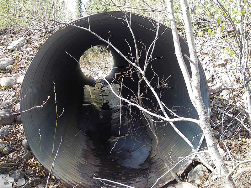
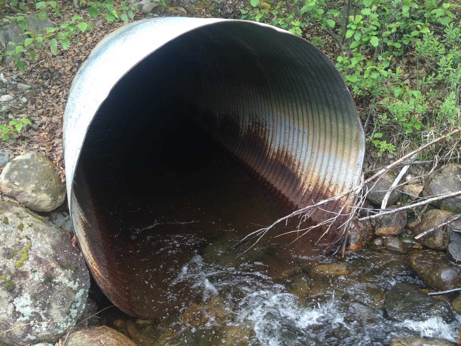
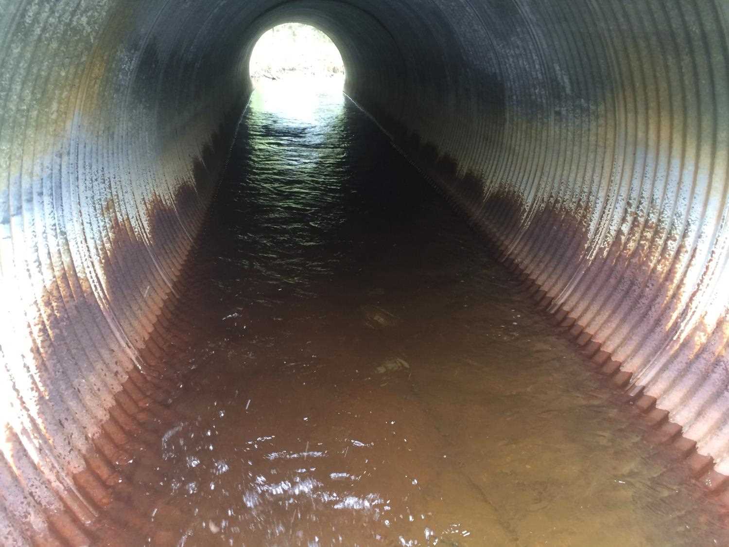
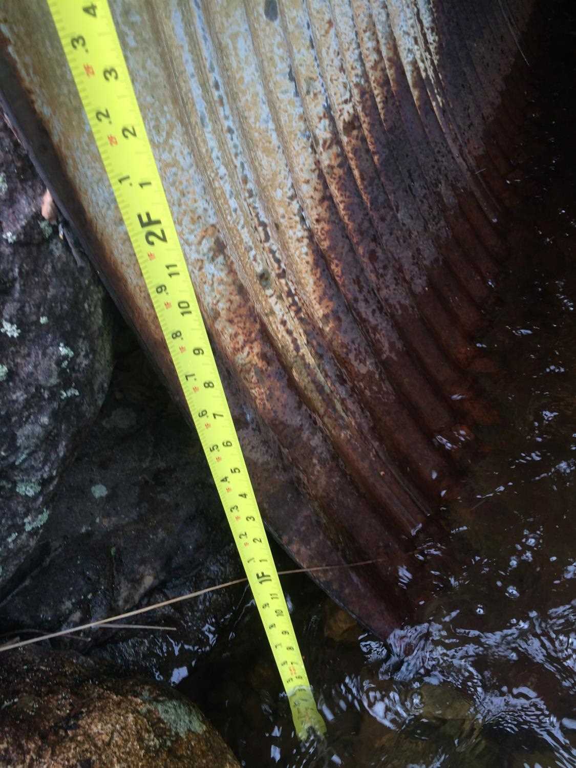
| ID: 1 | Structure Type: Circular pipe (Structural steel plate) | Fish Passage Rating: | |||||||||||||||||||||||||||||||||||||||||
|
|
|
|||||||||||||||||||||||||||||||||||||||||
Culvert Observations:
|
|||||||||||||||||||||||||||||||||||||||||||
Stream Measurements
|
|
| Stream Width Type | Distance From Crossing (ft) |
Stream Width (ft) |
|---|---|---|
| Upstream ordinary high water | 50.0 | 11.50 |
| Upstream ordinary high water | 82.0 | 10.00 |
| Upstream ordinary high water | 190.0 | 10.00 |
Elevations
| Locator ID | Culvert Number |
River Distance (ft)1 |
Distance From Crossing (ft)2 |
Relative Elevation (ft) |
|---|---|---|---|---|
| Outlet Pool Water Elev | 1 | 92.81 | ||
| U/S Headwater (turbulent foot of riffle) | 1 | 92.91 | ||
| D/S Grade Ctrl (Thalweg) | 1 | 0.00 | 19.0 | 91.36 |
| D/S Water Surface Elev (WS at grade pt) | 1 | 0.00 | 19.0 | 92.19 |
| D/S Water Surface Elev (u/s) | 1 | 2.50 | 16.5 | 93.81 |
| D/S Water Surface Elev (WS at TWC) | 1 | 9.00 | 10.0 | 92.80 |
| D/S Tailcrest or 1st Thalweg | 1 | 9.00 | 10.0 | 91.74 |
| D/S Thalweg | 1 | 14.00 | 5.0 | 90.61 |
| Outlet Invert | 1 | 19.00 | 0.0 | 90.93 |
| Road Elev | 1 | 38.50 | 99.86 | |
| Inlet Culvert Invert | 1 | 58.00 | 0.0 | 91.37 |
| U/S Thalweg | 1 | 61.30 | 3.3 | 91.93 |
| U/S Thalweg | 1 | 68.50 | 10.5 | 92.49 |
| U/S Thalweg (Tailcrest) | 1 | 74.50 | 16.5 | 92.66 |
Notes:
- River distance is measured continuously throughout the survey reach along the thalweg of the stream.
- Measured from each end of the crossing along the thalweg of the stream.
Fish Sampling Efforts
No fish sampling occurred during this survey.
Fish Observations
No fish observations occurred during this survey.
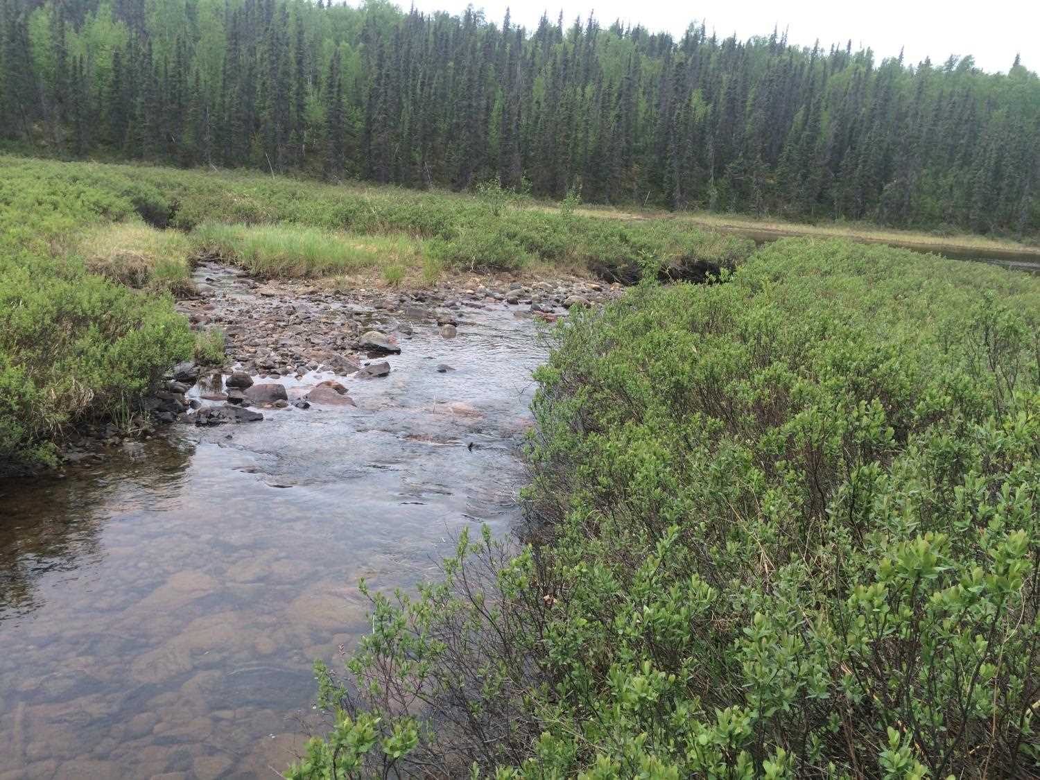
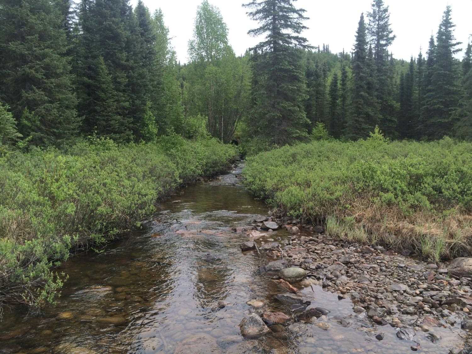
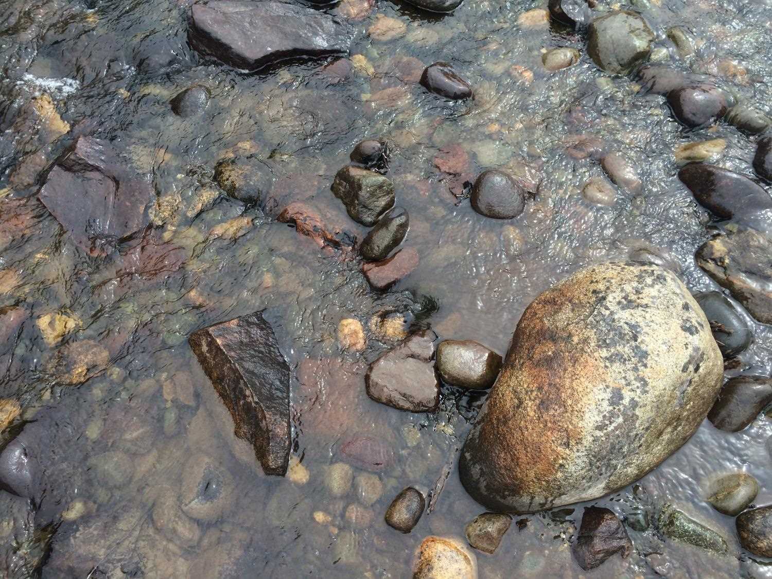
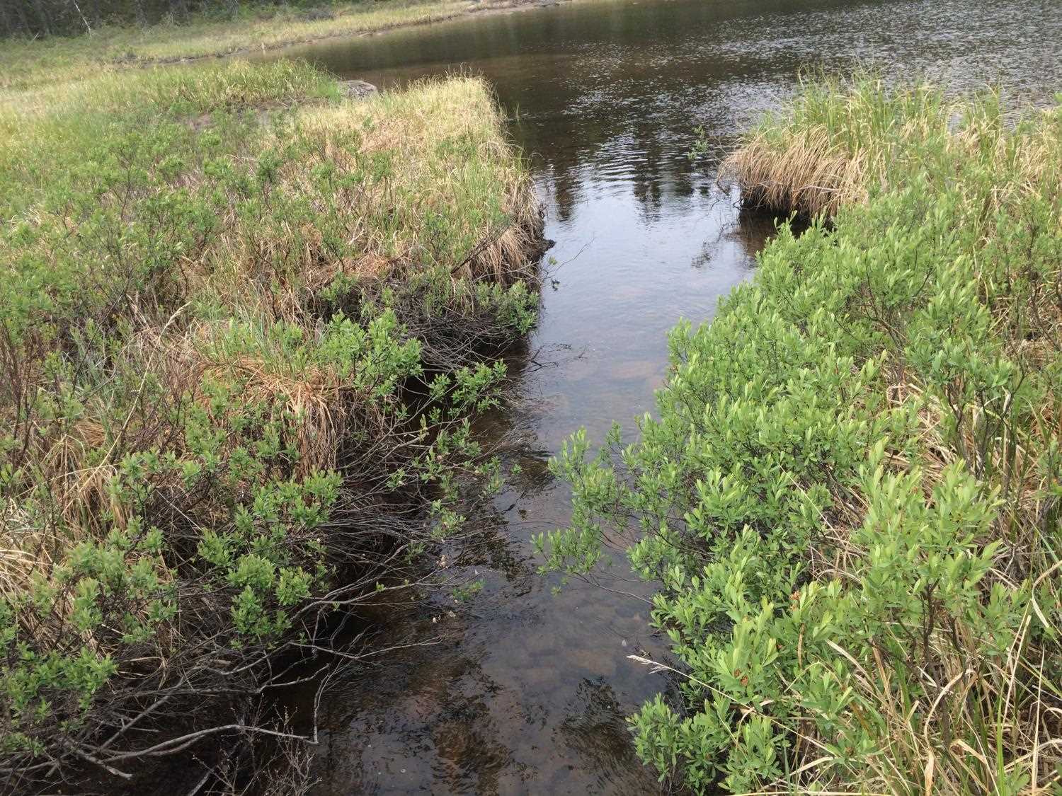
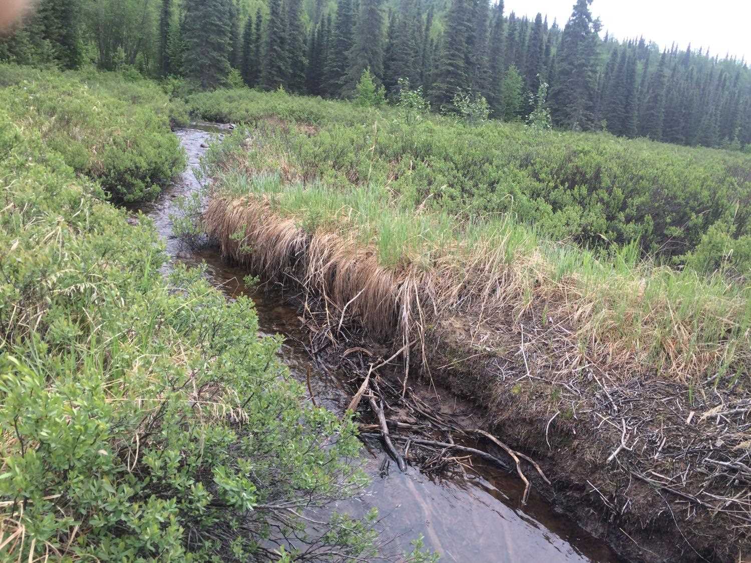
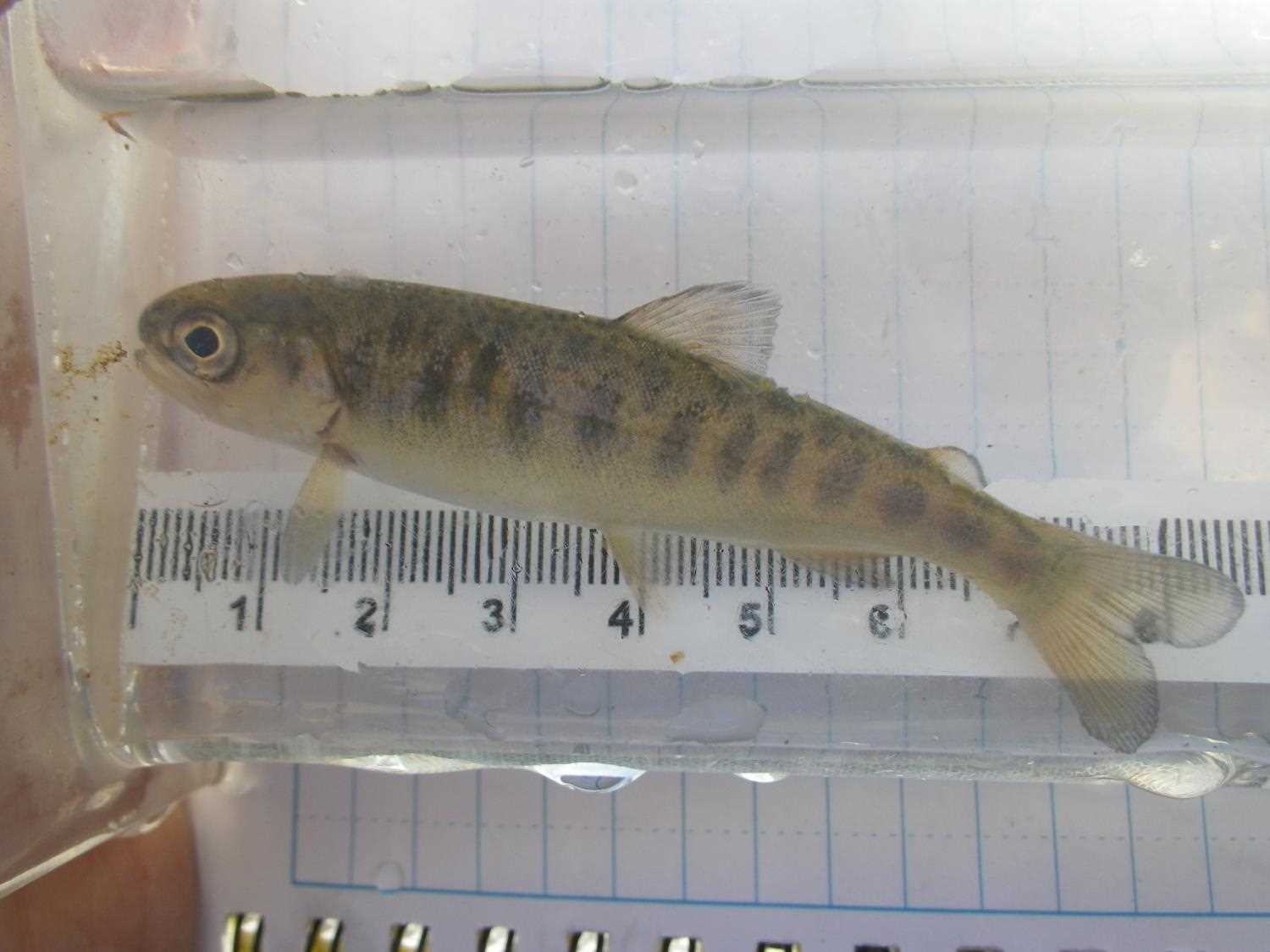
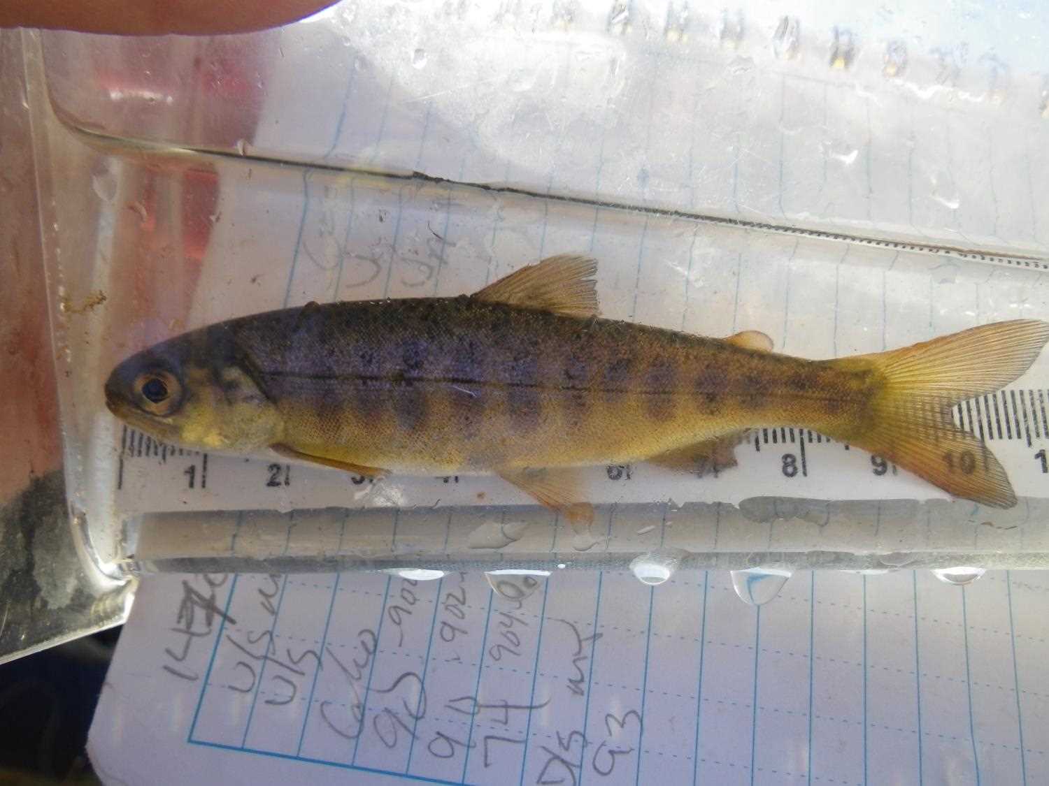
Photos

Questions or comments about this report can be directed to dfg.dsf.webmaster@alaska.gov