Fish Passage Site 20501469
Coordinates (dec. deg.): 62.14456°, -149.92052°
Legal Description: S024N004W25
Region: South Central
Road Name: Malaspina Loop
Datum: WGS84
Quad Name / ITM: Talkeetna Mts A-6
AWC Stream #:
Stream Name: Unnamed
Elevation:
Site Comments: None
arrow to the right of the survey date below to choose a different report for this site.
Survey PRK09-MAL02
Project Supervisor: Gillian O'Doherty, ADFG
Observers: Heidi Zimmer, Ben Histand
Overall Fish Passage Rating:
Tidal: No
Backwatered: No
Step Pools:
Construction Year:
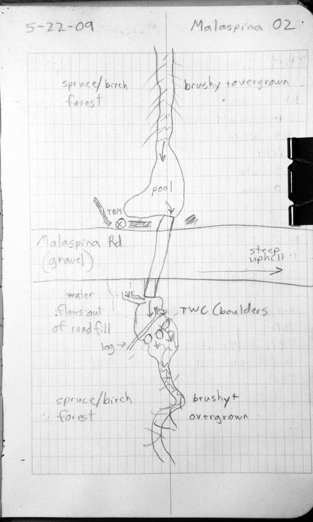
Site Observations:
- Constriction ratio red
- Outfall height red
- Culvert gradient red
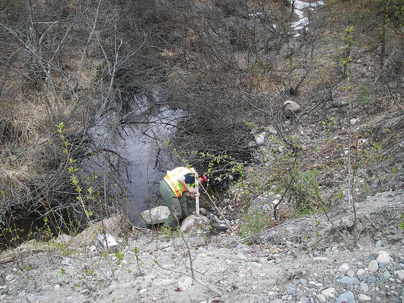
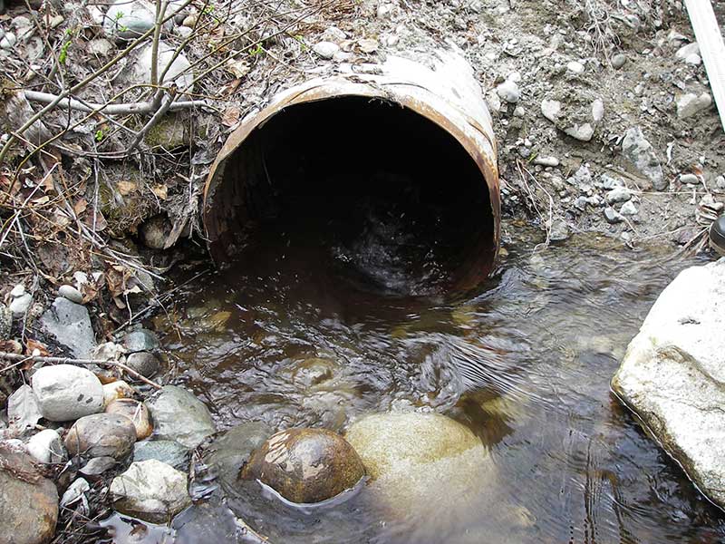
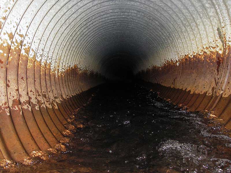
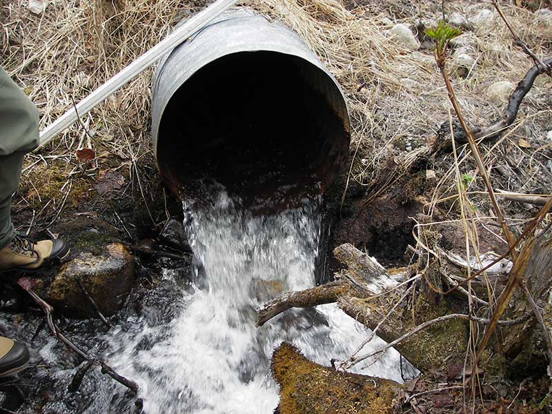
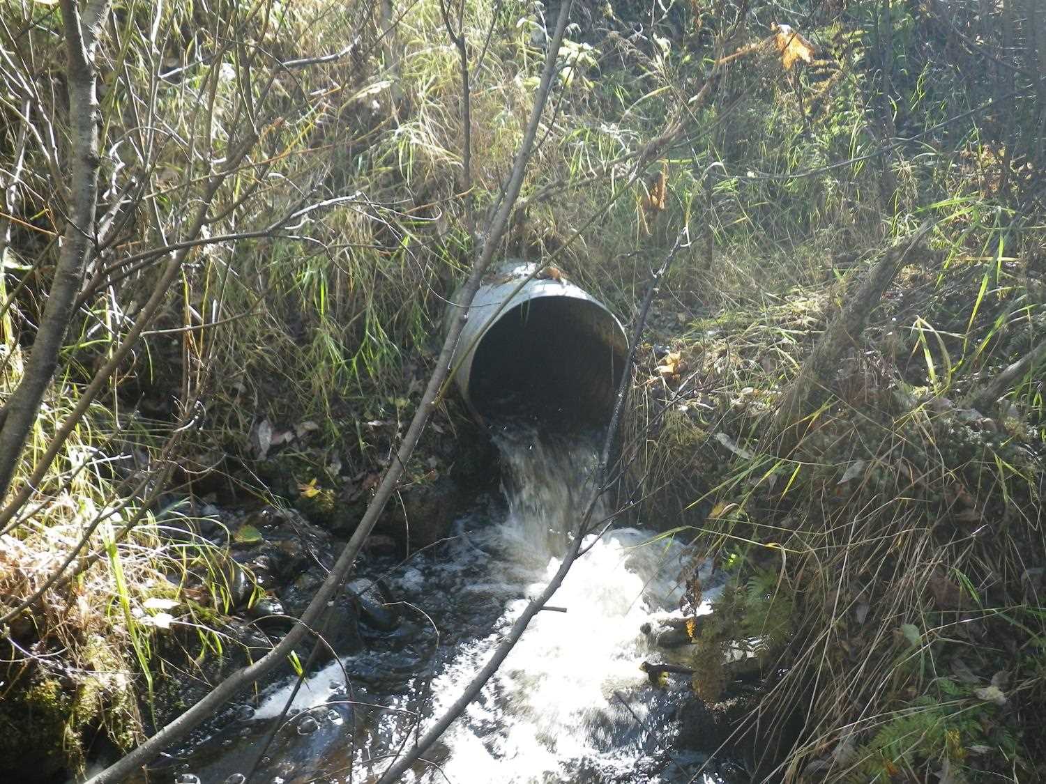
Comments: **Updated site photos added from 9/13/16 site visit from Sampling Unmapped Streams in the MSB. Fish information in AFFI.** Length measured with tape through culvert. Culvert has bend, appears to be 2 pipes end to end.
Culvert Measurements
| ID: 1 | Structure Type: Circular pipe (Corrugated steel) | Fish Passage Rating: | |||||||||||||||||||||||||||||||||||||||||
|
|
|
|||||||||||||||||||||||||||||||||||||||||
Culvert Observations:
|
|||||||||||||||||||||||||||||||||||||||||||
Stream Measurements
|
|
| Stream Width Type | Distance From Crossing (ft) |
Stream Width (ft) |
|---|---|---|
| Upstream ordinary high water | 50.0 | 4.70 |
| Upstream ordinary high water | 90.0 | 5.50 |
| Upstream ordinary high water | 110.0 | 4.50 |
| Upstream ordinary high water | 140.0 | 5.50 |
Elevations
| Locator ID | Culvert Number |
River Distance (ft)1 |
Distance From Crossing (ft)2 |
Relative Elevation (ft) |
|---|---|---|---|---|
| U/S Headwater | 1 | 93.72 | ||
| (water coming out of rd fill, d/s side - see sketch/photos) | 97.50 | |||
| D/S Grade Ctrl (Thalweg) | 1 | 0.00 | 29.0 | 86.69 |
| D/S Water Surface Elev (ws at GP - wd = 0.45) | 1 | 0.00 | 29.0 | 87.14 |
| Outlet Pool Water Elev | 1 | 14.50 | 14.5 | 88.64 |
| D/S Water Surface Elev (ws at TWC (TWS) - wd = 0.52) | 1 | 14.50 | 14.5 | 89.16 |
| D/S Thalweg (bottom of out pool) | 1 | 20.00 | 9.0 | 88.32 |
| D/S Thalweg | 1 | 24.00 | 5.0 | 88.51 |
| D/S Thalweg | 1 | 25.00 | 4.0 | 88.51 |
| D/S Water Surface Elev (ws at gp) | 1 | 25.40 | 3.6 | 93.93 |
| D/S Thalweg | 1 | 28.50 | 0.5 | 89.10 |
| Outlet Invert | 1 | 29.00 | 0.0 | 89.70 |
| Road Elev | 1 | 59.00 | 105.32 | |
| Inlet Culvert Invert | 1 | 89.00 | 0.0 | 93.24 |
| U/S Grade Ctrl (Thalweg) (1st TC u/s - grade pt is caused by BO constricting flow) | 1 | 92.60 | 3.6 | 93.03 |
Notes:
- River distance is measured continuously throughout the survey reach along the thalweg of the stream.
- Measured from each end of the crossing along the thalweg of the stream.
Fish Sampling Efforts
No fish sampling occurred during this survey.
Fish Observations
No fish observations occurred during this survey.
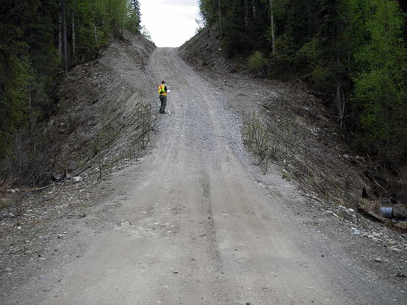
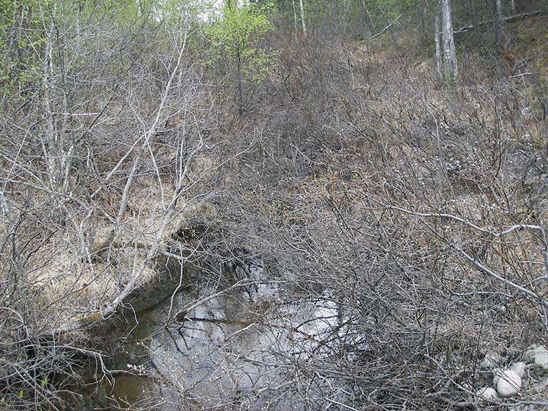
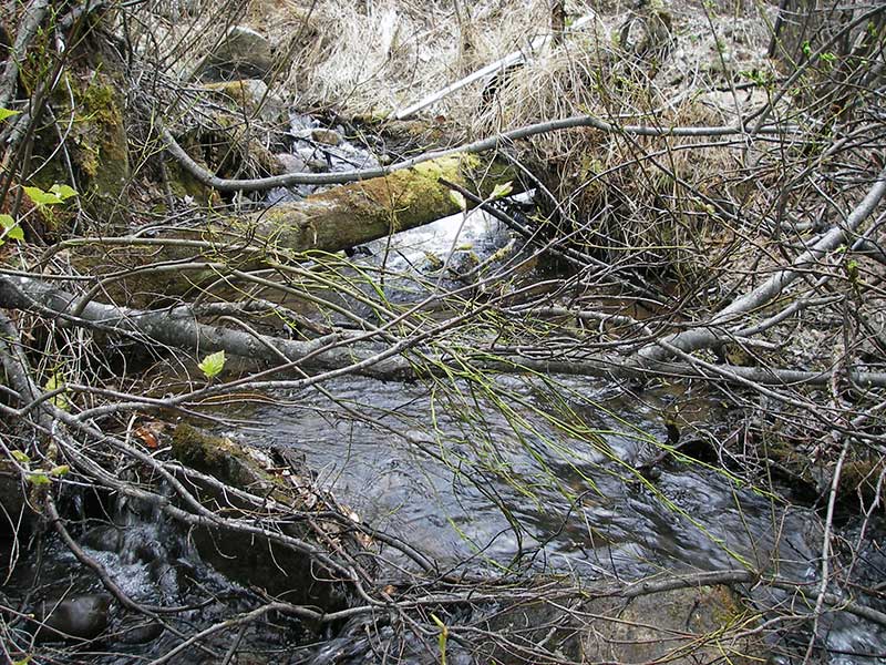
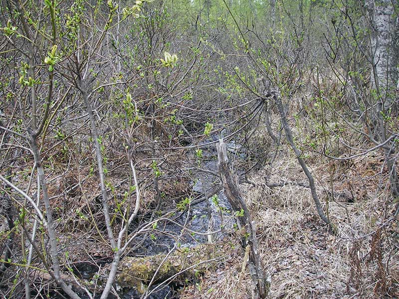
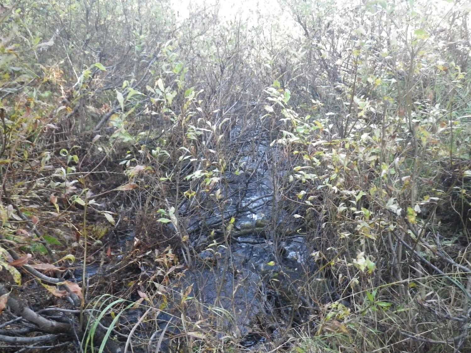
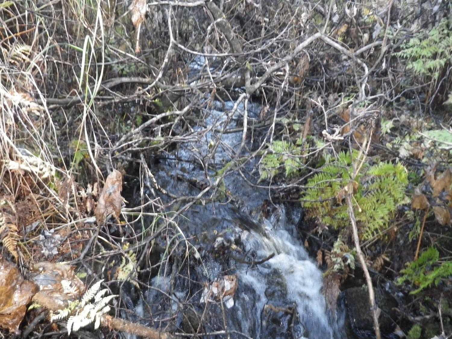
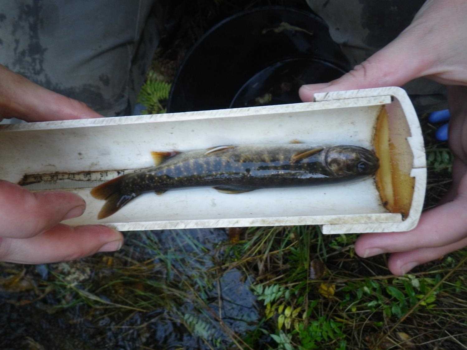
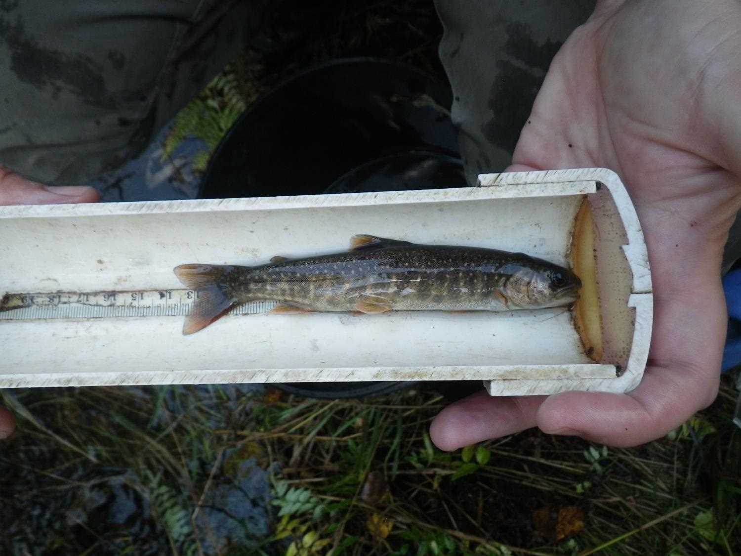
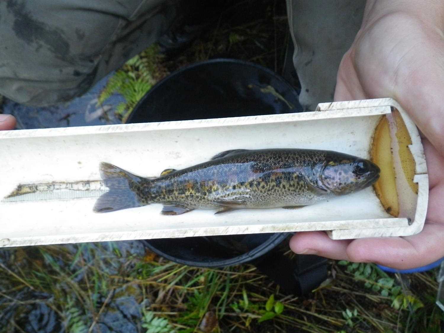
Photos

Questions or comments about this report can be directed to dfg.dsf.webmaster@alaska.gov