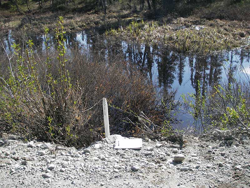
Fish Passage Site 20501468
Coordinates (dec. deg.): 62.16042°, -149.93346°
Legal Description: S024N004W24
Region: South Central
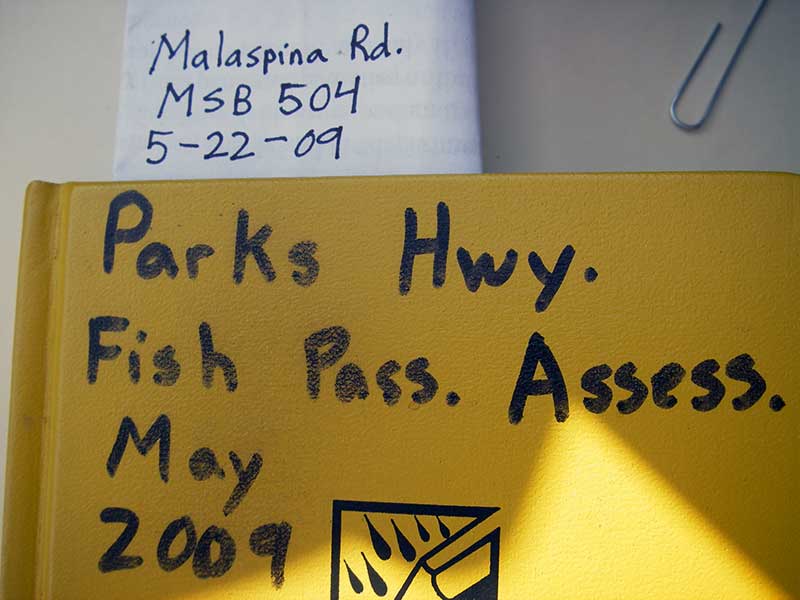
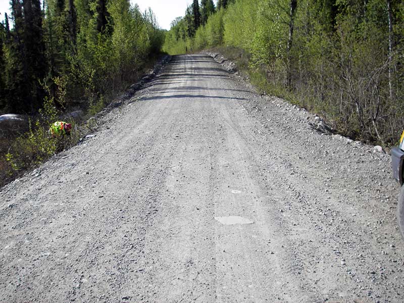
Road Name: Malaspina
Datum: WGS84
Quad Name / ITM: Talkeetna Mts A-6
AWC Stream #:
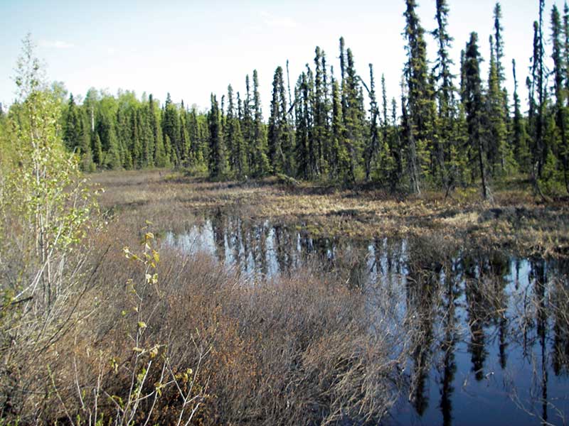
Stream Name: Unnamed
Elevation:
Site Comments: None
arrow to the right of the survey date below to choose a different report for this site.
Survey PRK09-MAL01
Project Supervisor: Gillian O'Doherty, ADFG
Observers: Heidi Zimmer, Ben Histand
Overall Fish Passage Rating:
Tidal: No
Backwatered: No
Step Pools: No
Construction Year:
Site Observations:
- Outfall height red
- Culvert gradient red
- Inlet perch
- Mechanical damage or joints parting
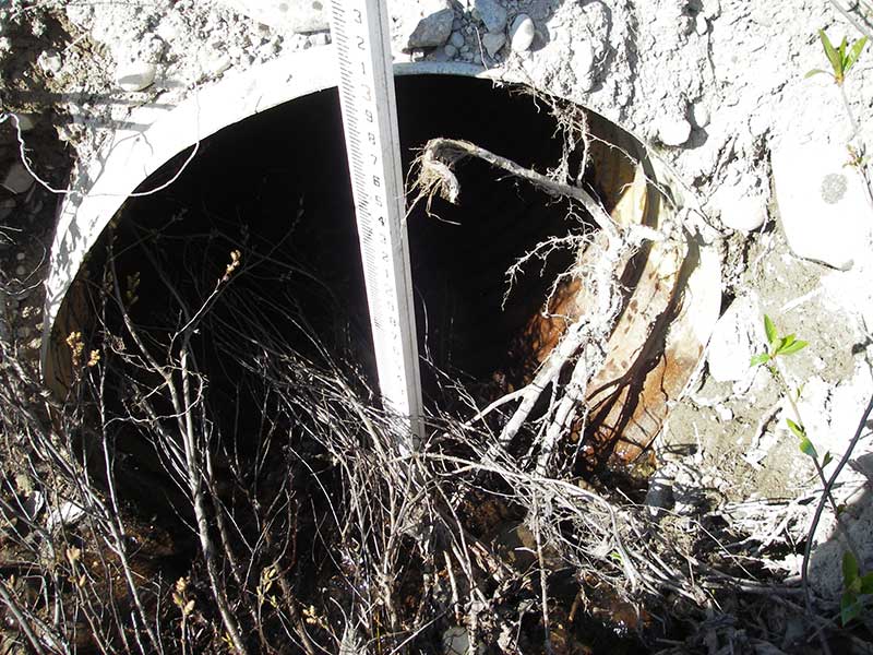
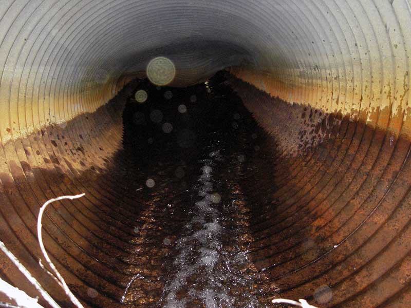
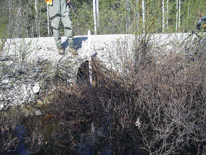
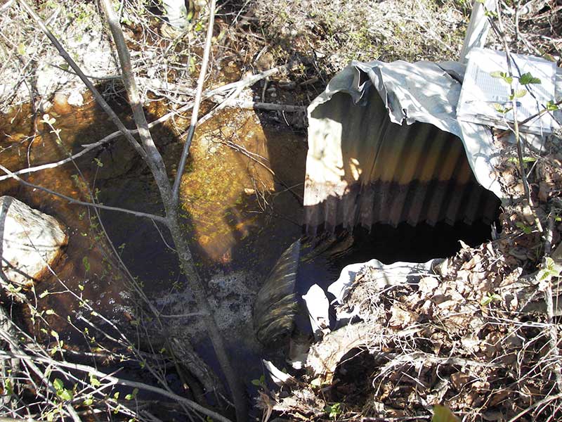
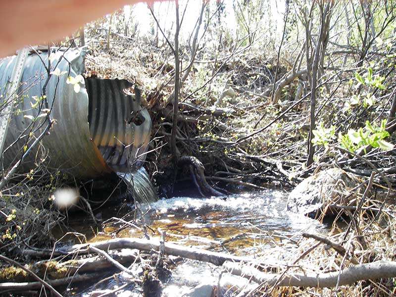
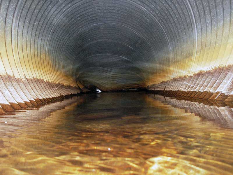
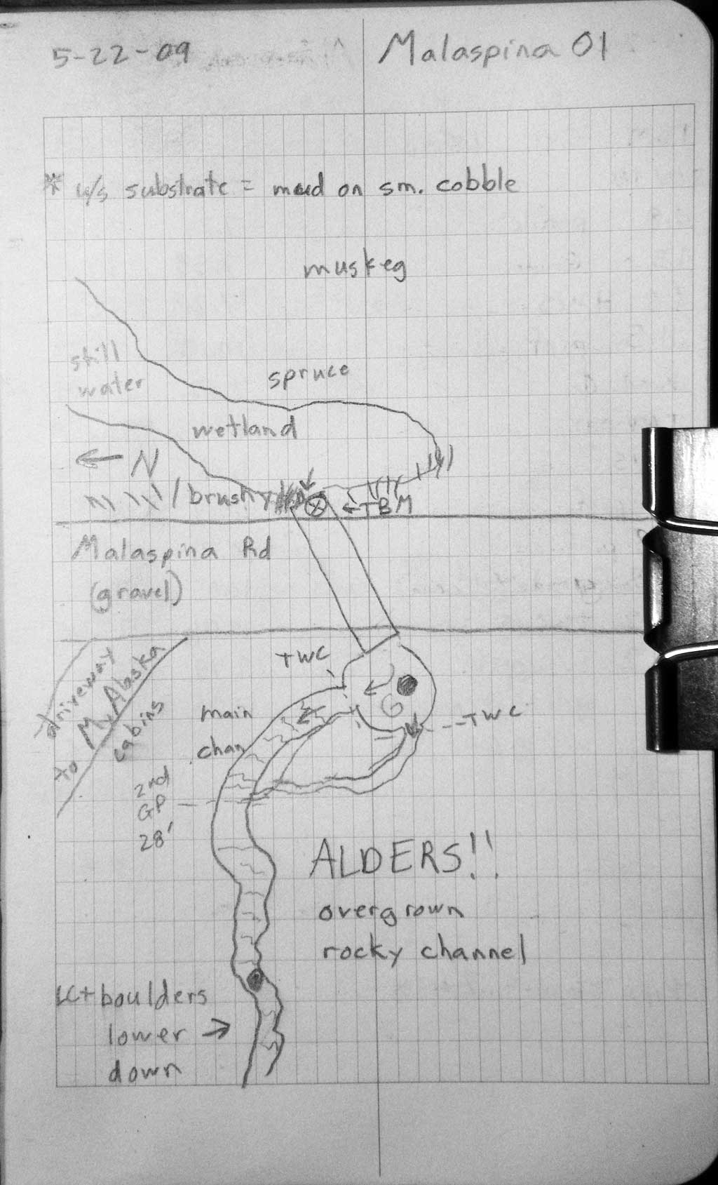
Comments: Top of pipe is caved in in middle nearly to water surface in middle of pipe. Length measured by tape across road. Inlet perch formed by cobble & vegetation
Culvert Measurements
| ID: 1 | Structure Type: Circular pipe (Corrugated steel) | Fish Passage Rating: | |||||||||||||||||||||||||||||||||||||||||
|
|
|
|||||||||||||||||||||||||||||||||||||||||
Culvert Observations:
|
|||||||||||||||||||||||||||||||||||||||||||
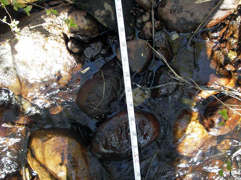
Stream Measurements
|
|
| Stream Width Type | Distance From Crossing (ft) |
Stream Width (ft) |
|---|---|---|
| Downstream ordinary high water | 36.0 | 2.00 |
| Downstream ordinary high water | 72.0 | 4.00 |
| Downstream ordinary high water | 85.0 | 3.00 |
Elevations
| Locator ID | Culvert Number |
River Distance (ft)1 |
Distance From Crossing (ft)2 |
Relative Elevation (ft) |
|---|---|---|---|---|
| Outlet Pool Water Elev (WS outlet pool) | 1 | 95.70 | ||
| D/S Grade Ctrl (Thalweg) (2nd GP d/s confluence of 2 channels) | 1 | 0.00 | 28.0 | 92.66 |
| D/S Water Surface Elev (WS at GP) | 1 | 0.00 | 28.0 | 92.95 |
| D/S Grade Ctrl (Thalweg) (TWC for smaller channel) | 1 | 19.20 | 8.8 | 95.36 |
| D/S Tailcrest or 1st Thalweg | 1 | 22.80 | 5.2 | 95.40 |
| D/S Water Surface Elev (WS at TWC) | 1 | 22.80 | 5.2 | 95.66 |
| D/S Thalweg (bottom outlet pool) | 1 | 26.20 | 1.8 | 94.70 |
| Outlet Invert | 1 | 28.00 | 0.0 | 96.20 |
| D/S Thalweg (stream bed end of pipe) | 1 | 28.00 | 0.0 | 95.32 |
| Road Elev | 1 | 48.00 | 101.59 | |
| Inlet Culvert Invert | 1 | 68.00 | 0.0 | 97.15 |
| U/S Thalweg | 1 | 68.80 | 0.8 | 97.67 |
| U/S Grade Ctrl (Thalweg) | 1 | 69.50 | 1.5 | 97.83 |
| U/S Headwater (WS at top of inlet perch) | 1 | 69.50 | 1.5 | 98.21 |
| U/S Thalweg (u/s chan (slough) bottom) | 1 | 79.50 | 11.5 | 95.29 |
Notes:
- River distance is measured continuously throughout the survey reach along the thalweg of the stream.
- Measured from each end of the crossing along the thalweg of the stream.
Fish Sampling Efforts
No fish sampling occurred during this survey.
Fish Observations
No fish observations occurred during this survey.
Photos

Questions or comments about this report can be directed to dfg.dsf.webmaster@alaska.gov