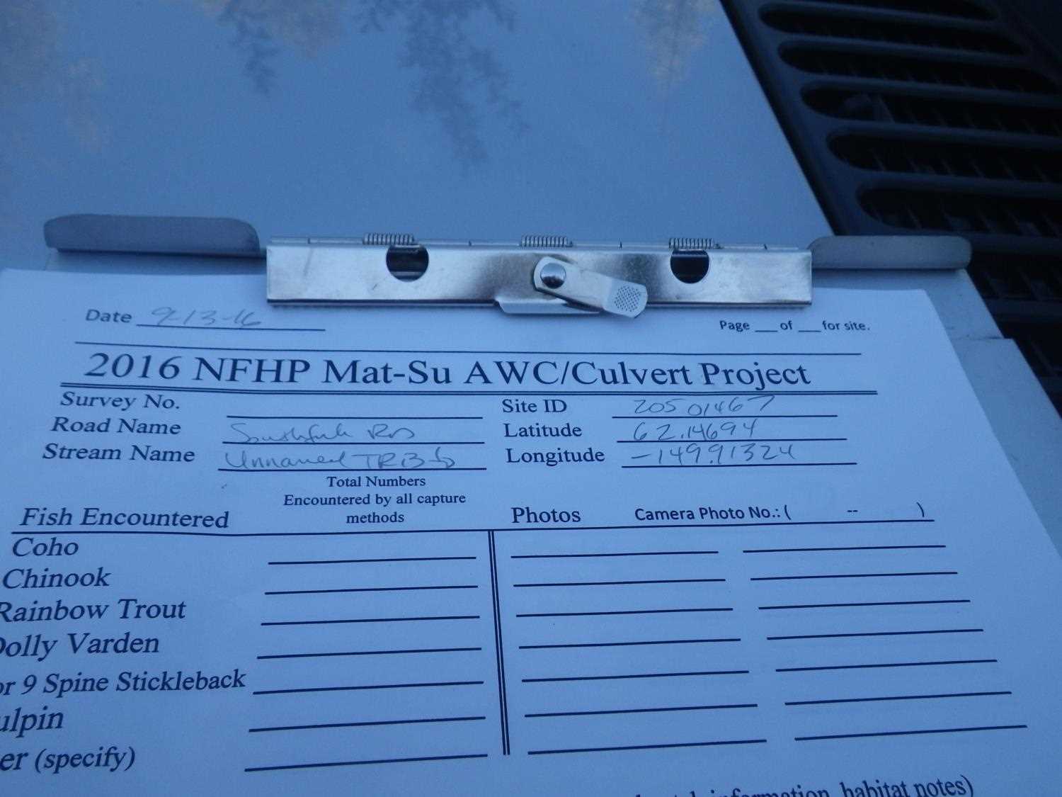
Fish Passage Site 20501467
Coordinates (dec. deg.): 62.14690°, -149.91312°
Legal Description: S024N004W25
Region: South Central
Road Name: Makuskin Road
Datum: WGS84
Quad Name / ITM: Talkeetna Mts A-6
AWC Stream #:
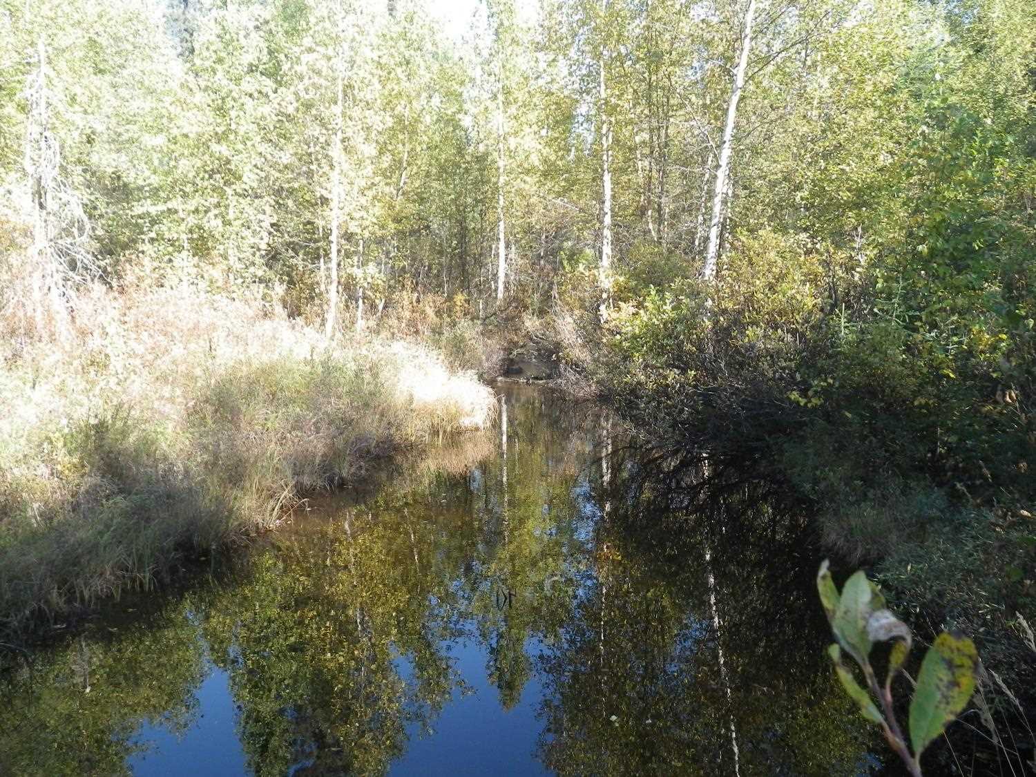
Stream Name: Unnamed
Elevation:
Site Comments: Site has been replaced since 2009 survey.
arrow to the right of the survey date below to choose a different report for this site.
Survey UPDATE-1467
Project Supervisor: Gillian O'Doherty, ADFG
Observers: Mark Eisenman, Gillian O'Doherty
Overall Fish Passage Rating:
Tidal: No
Backwatered: No
Step Pools: No
Construction Year:
Site Observations:
- Outfall height gray
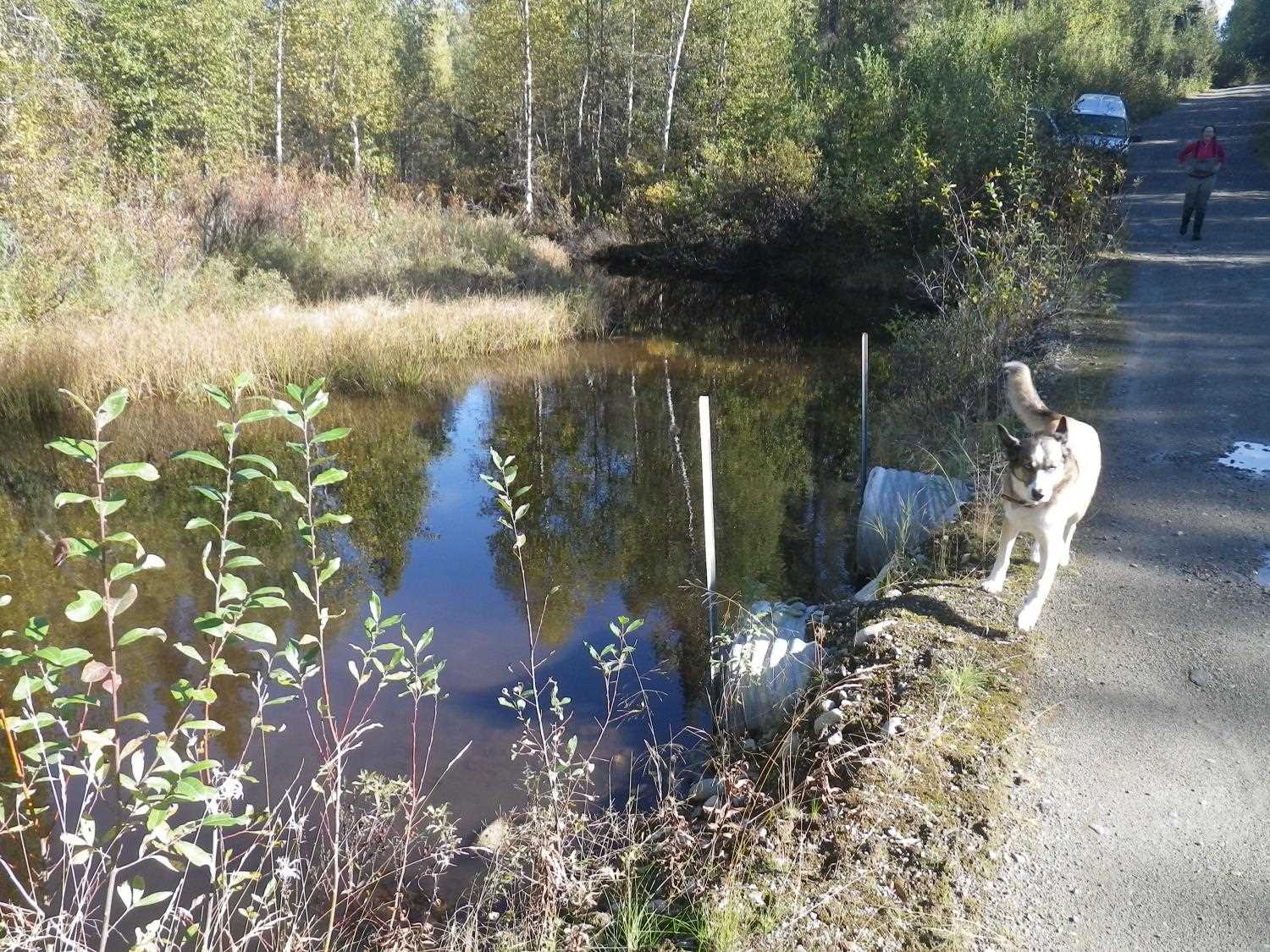
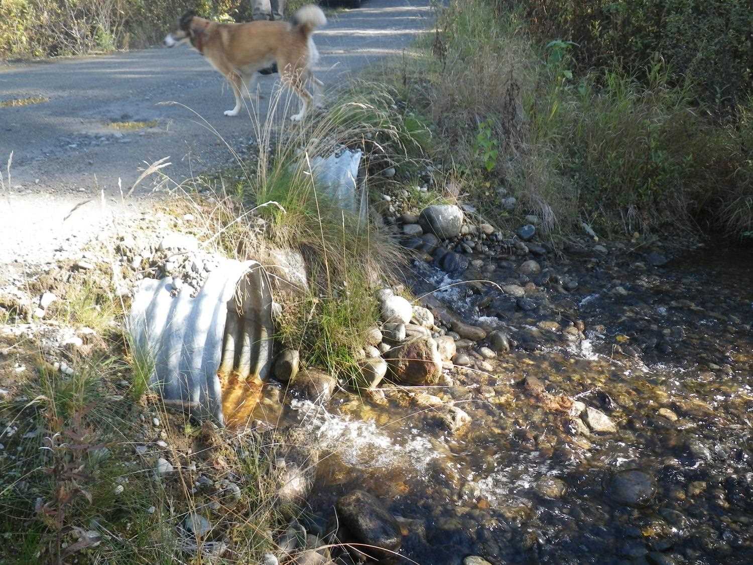
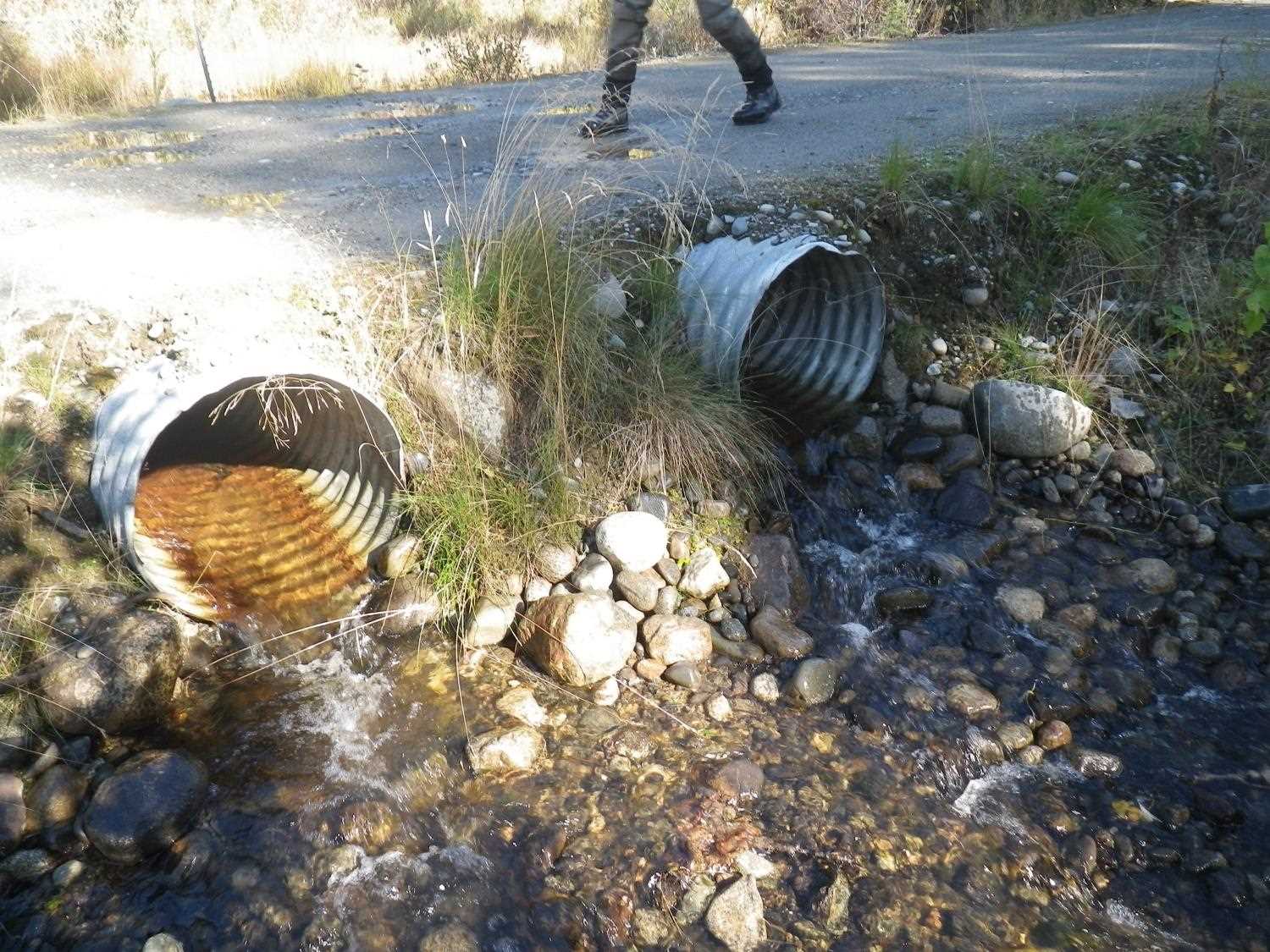
Comments: Site visit on 9/13/16 for Sampling Unmapped Streams in the MSB project found this site had been repaired and the single culvert replaced with two newer culverts. Culverts are slightly perched, rated Gray and site has been marked for a complete reassessment. Fish sampling informatin entered into AFFI.
Culvert Measurements
| ID: 1 | Structure Type: Circular pipe (Corrugated steel) | Fish Passage Rating: | |||||||||||||||||||||||||||||||||||||||||
|
|
|
|||||||||||||||||||||||||||||||||||||||||
Culvert Observations:
|
|||||||||||||||||||||||||||||||||||||||||||
| ID: 2 | Structure Type: Circular pipe (Corrugated steel) | Fish Passage Rating: | |||||||||||||||||||||||||||||||||||||||||
|
|
|
|||||||||||||||||||||||||||||||||||||||||
Culvert Observations:
|
|||||||||||||||||||||||||||||||||||||||||||
Stream Measurements
|
|
No stream width data available.
Elevations
No elevation data available.
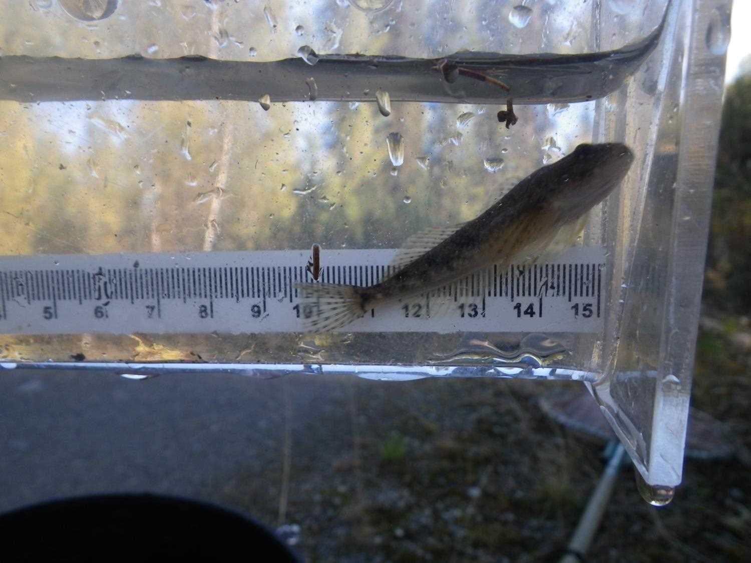
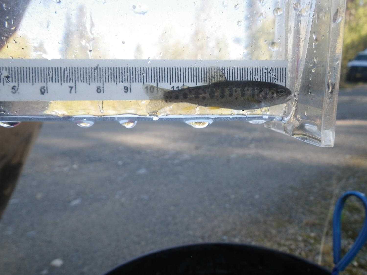
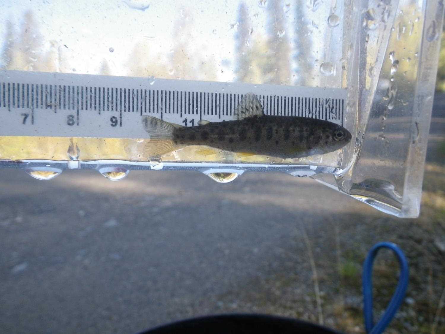
Fish Sampling Efforts
No fish sampling occurred during this survey.
Fish Observations
No fish observations occurred during this survey.
Photos
Questions or comments about this report can be directed to dfg.dsf.webmaster@alaska.gov