Fish Passage Site 20501464
Coordinates (dec. deg.): 61.98914°, -149.96030°
Legal Description: S022N004W23
Region: South Central
Road Name: Hidden Hills Road
Datum: WGS84
Quad Name / ITM: Anchorage D-8
AWC Stream #: 247-41-10200-2190-3020
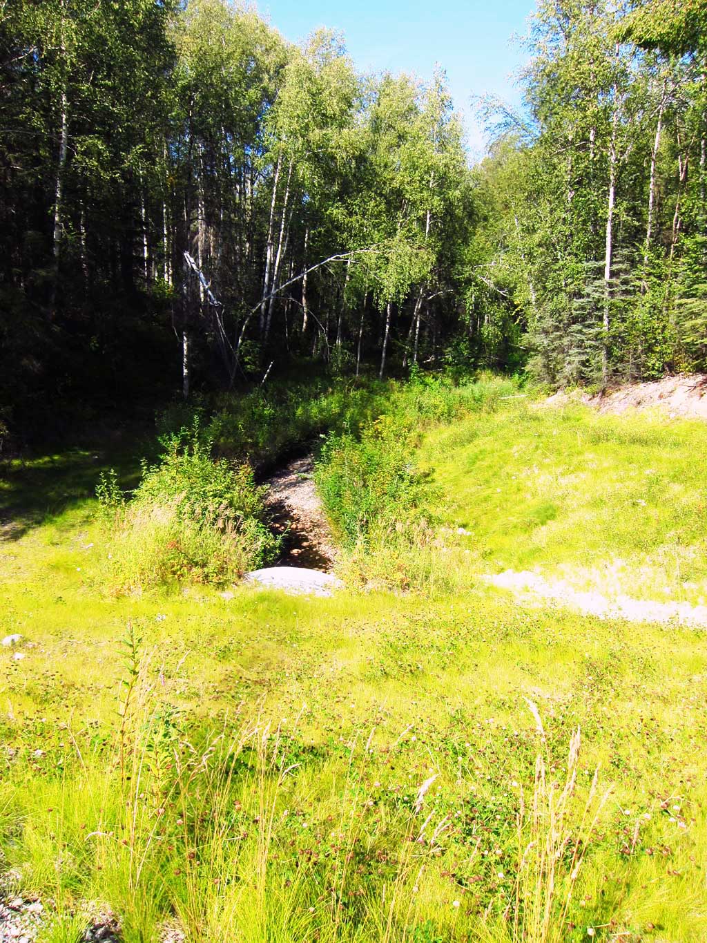
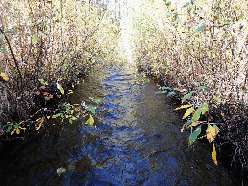
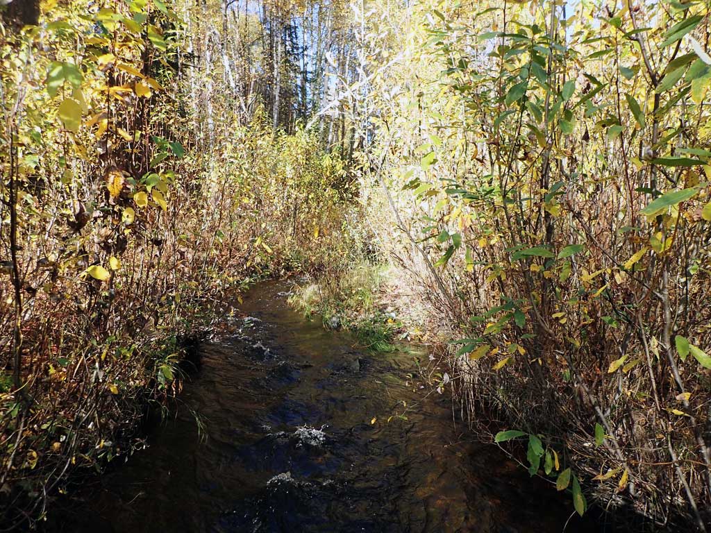
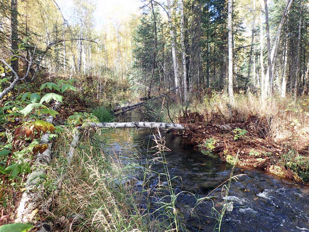
Stream Name: Caswell Creek tributary
Elevation:
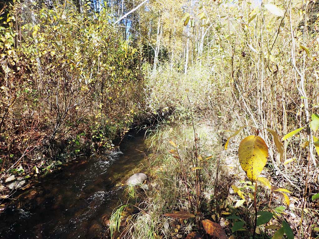
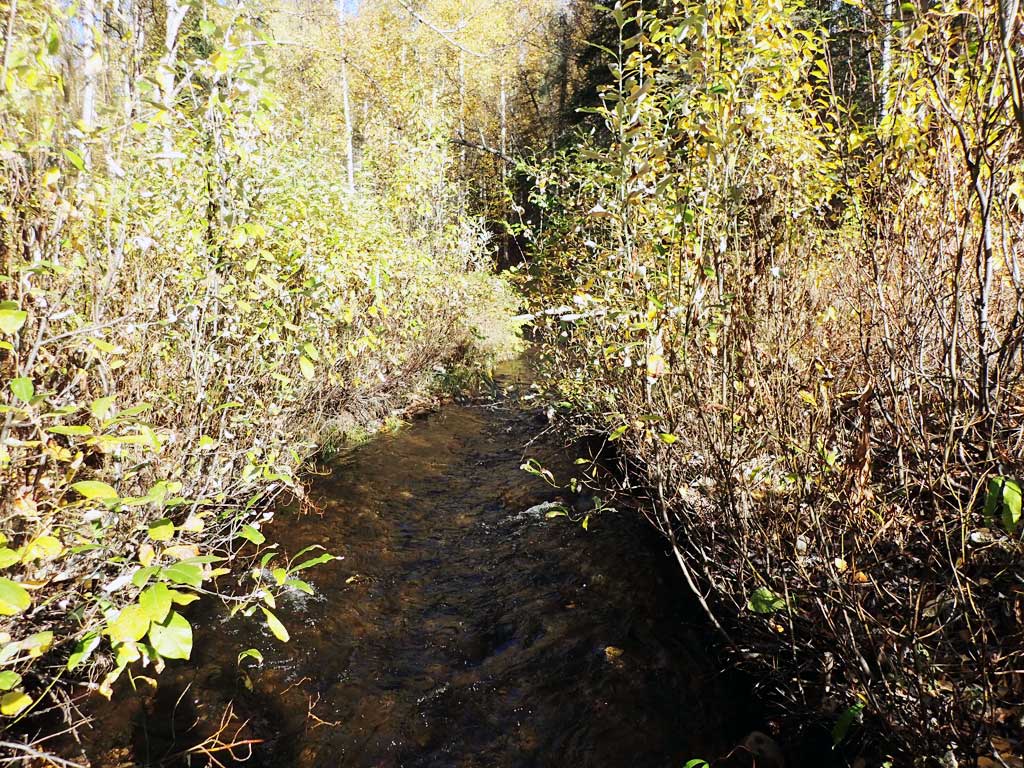
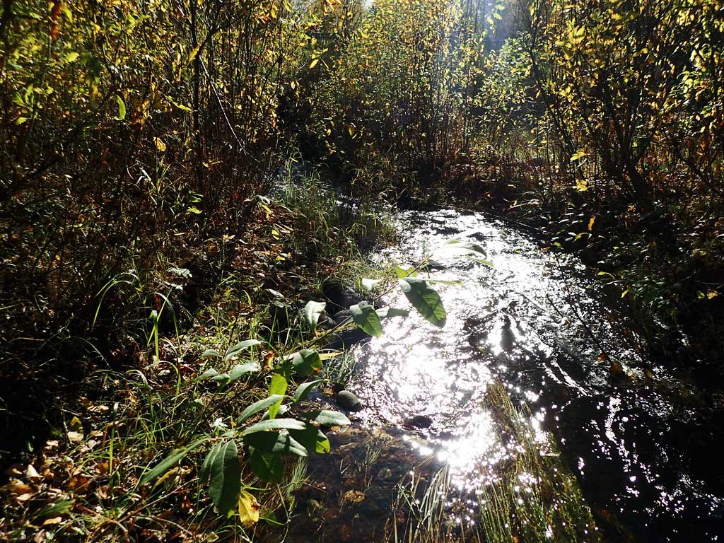
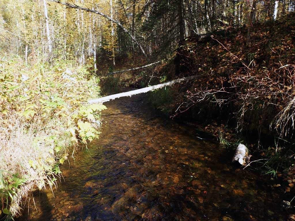
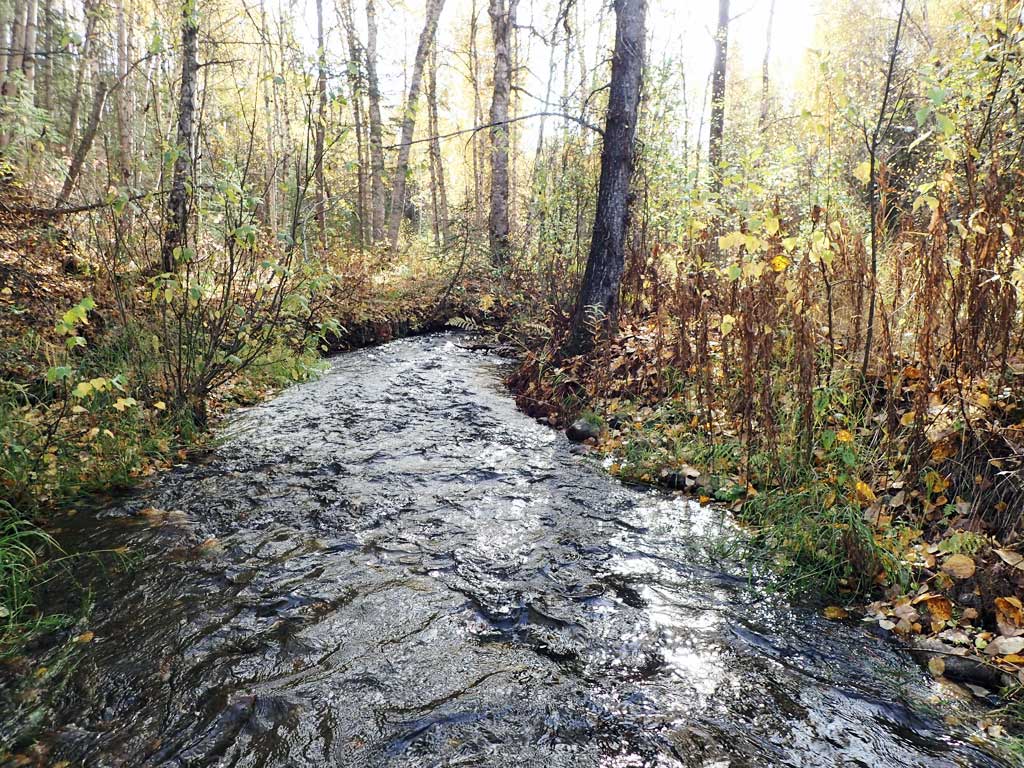
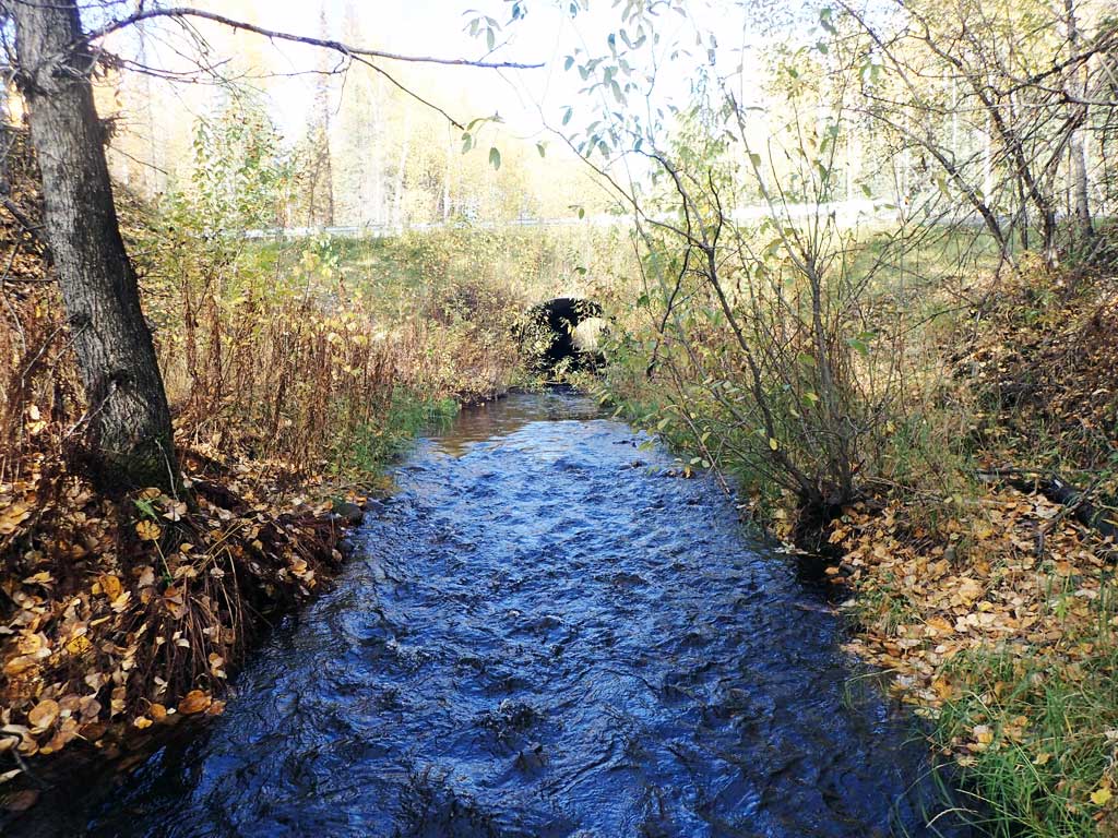
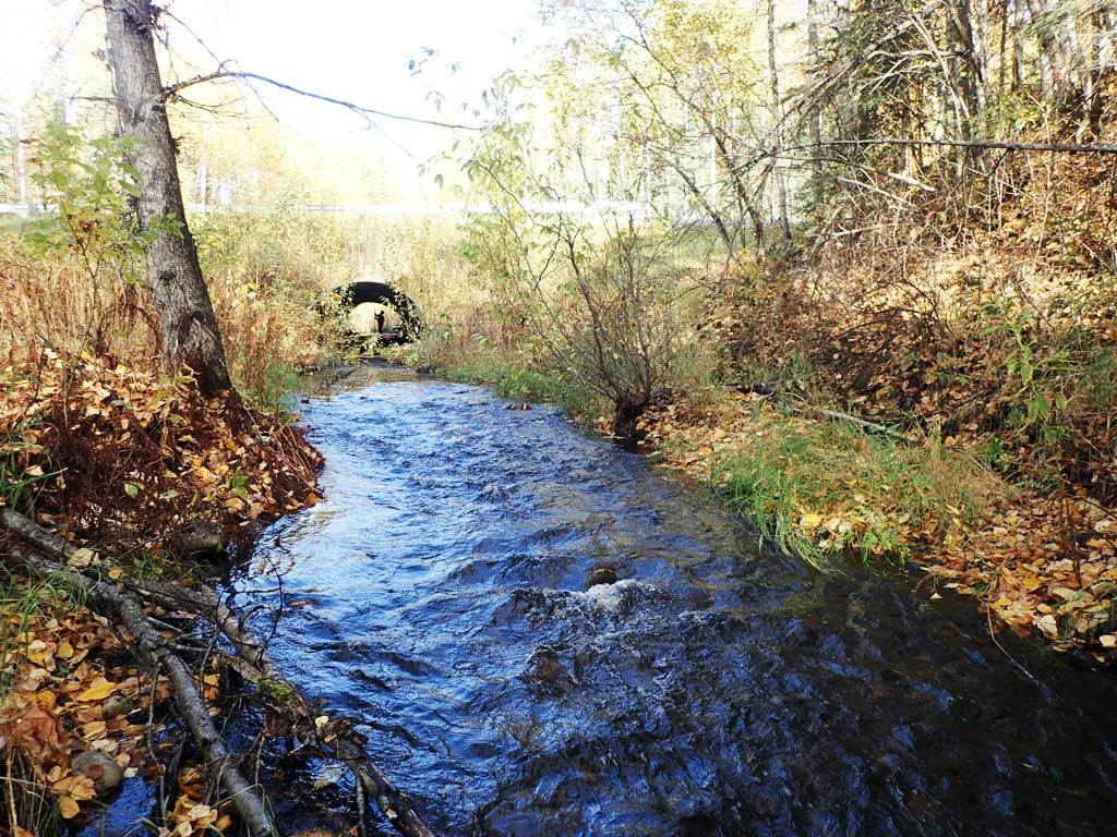
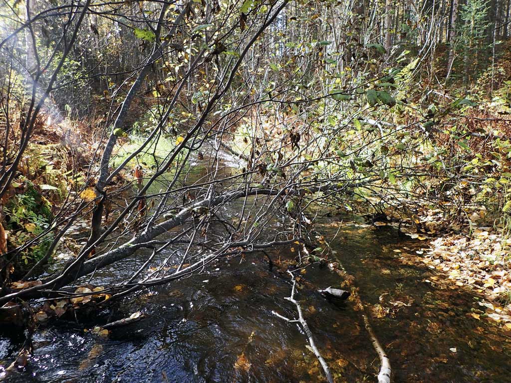
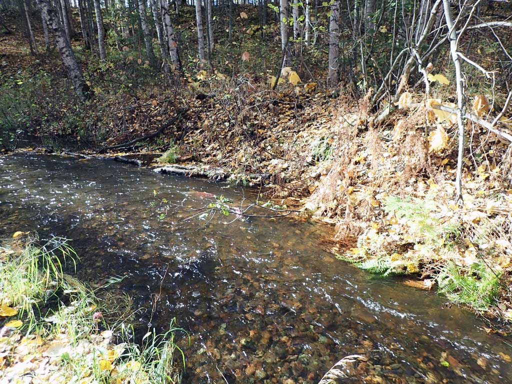
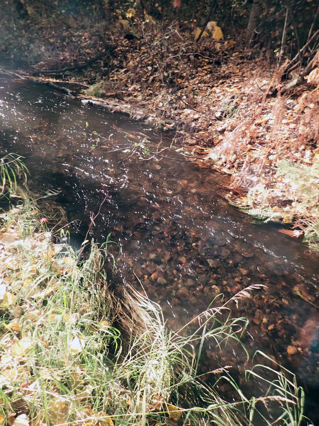
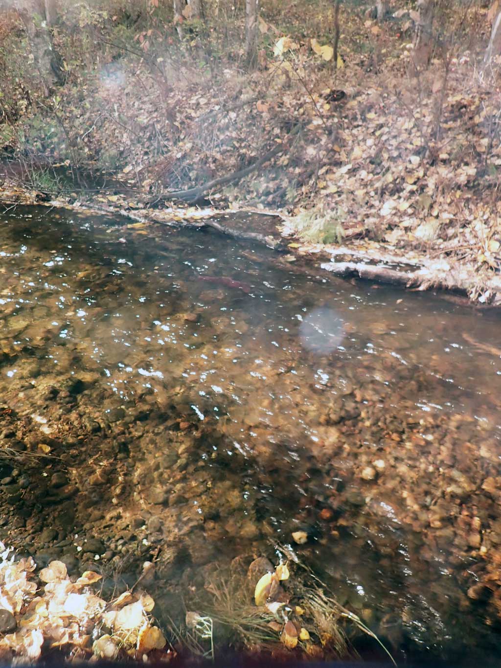
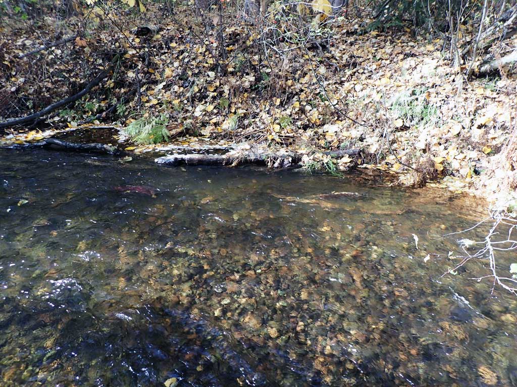
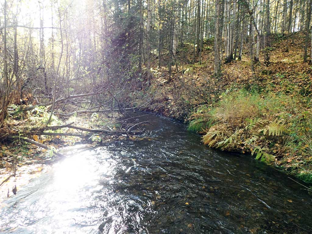
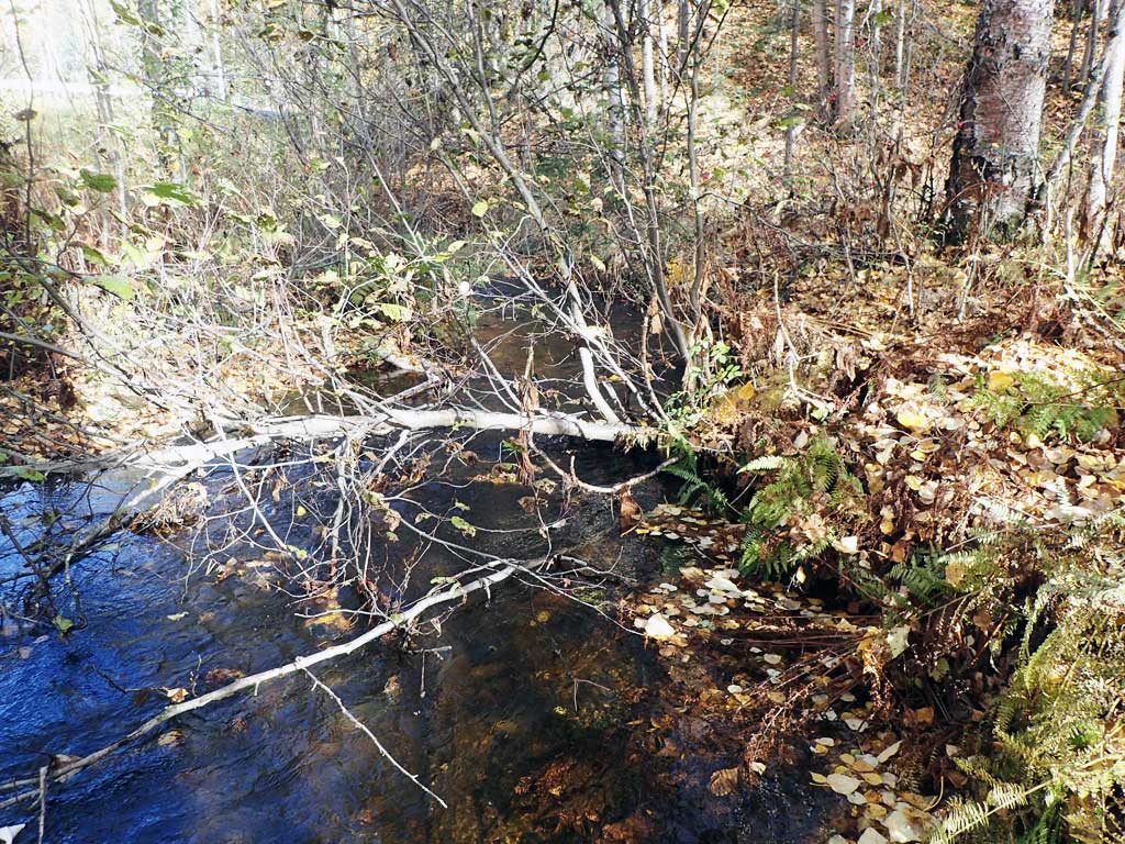
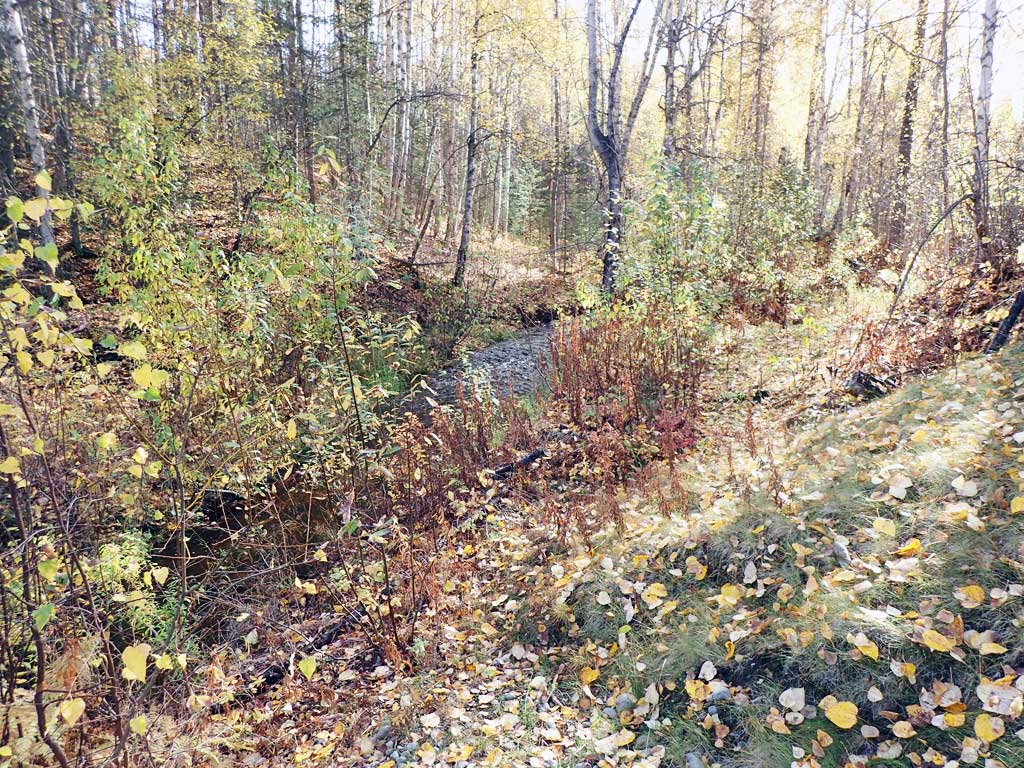
Site Comments: Creek is the outlet stream to the smaller Caswell Lakes complex.
arrow to the right of the survey date below to choose a different report for this site.
Survey UPDATE-HHR01
Project Supervisor: Gillian O'Doherty, ADFG
Observers: Mark Eisenman, Shane Hetzog
Overall Fish Passage Rating:
Tidal: No
Backwatered: No
Step Pools: No
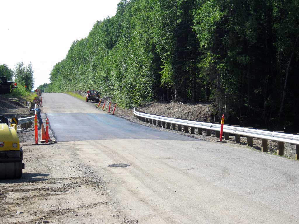
Construction Year: 2012
Site Observations:
- None of this type
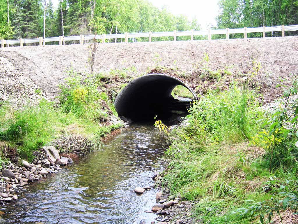
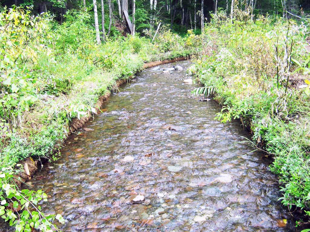
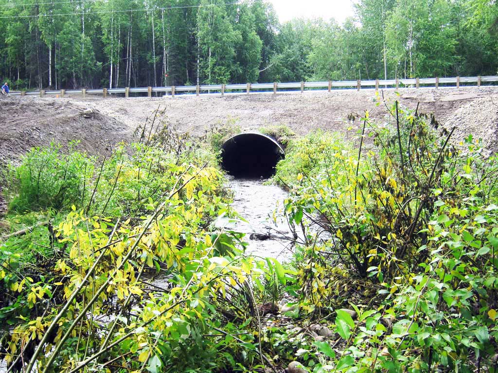
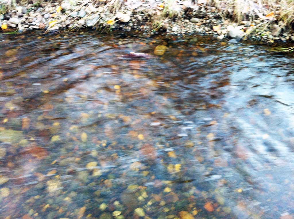
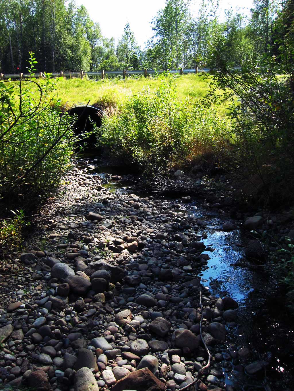
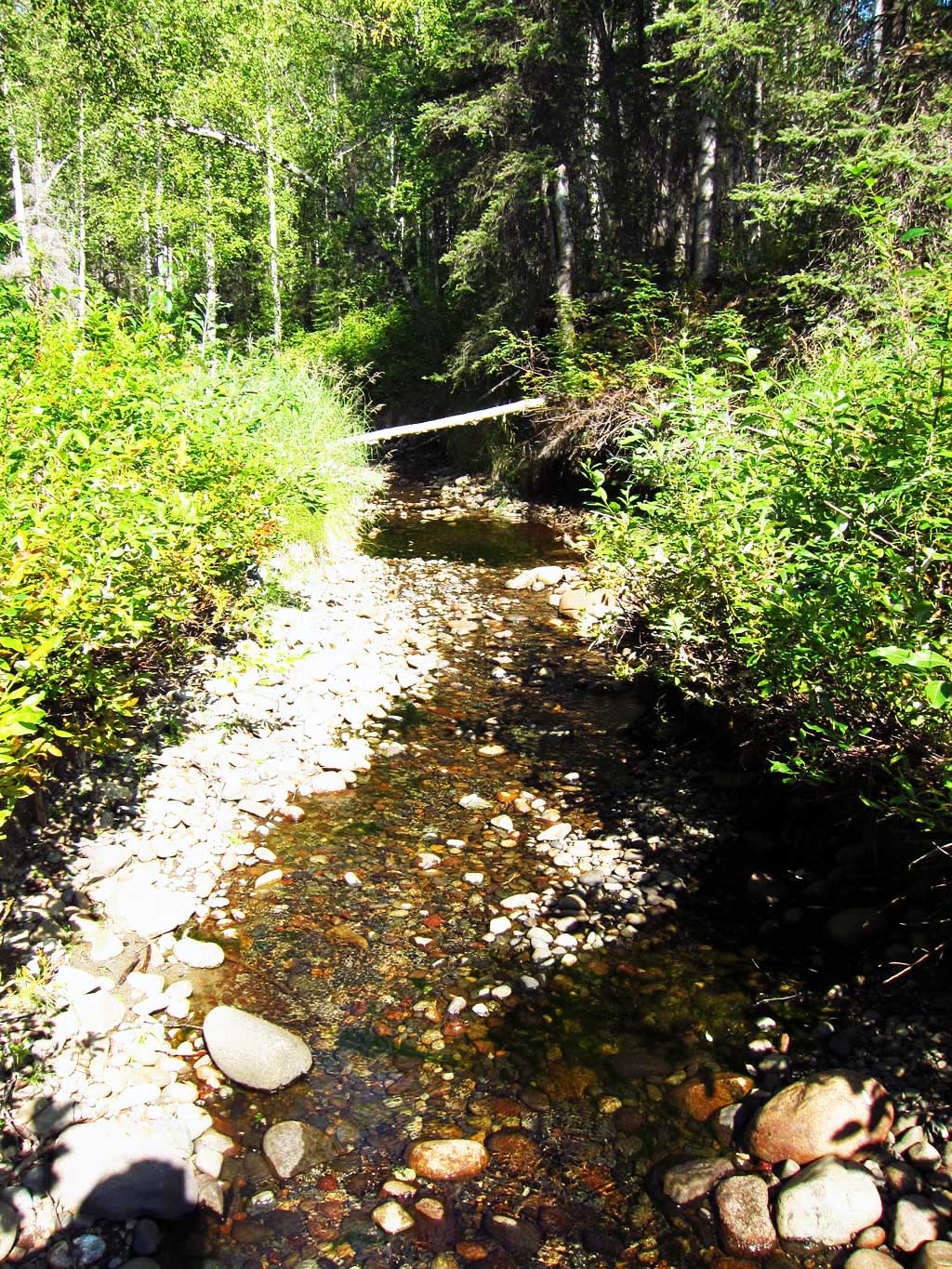
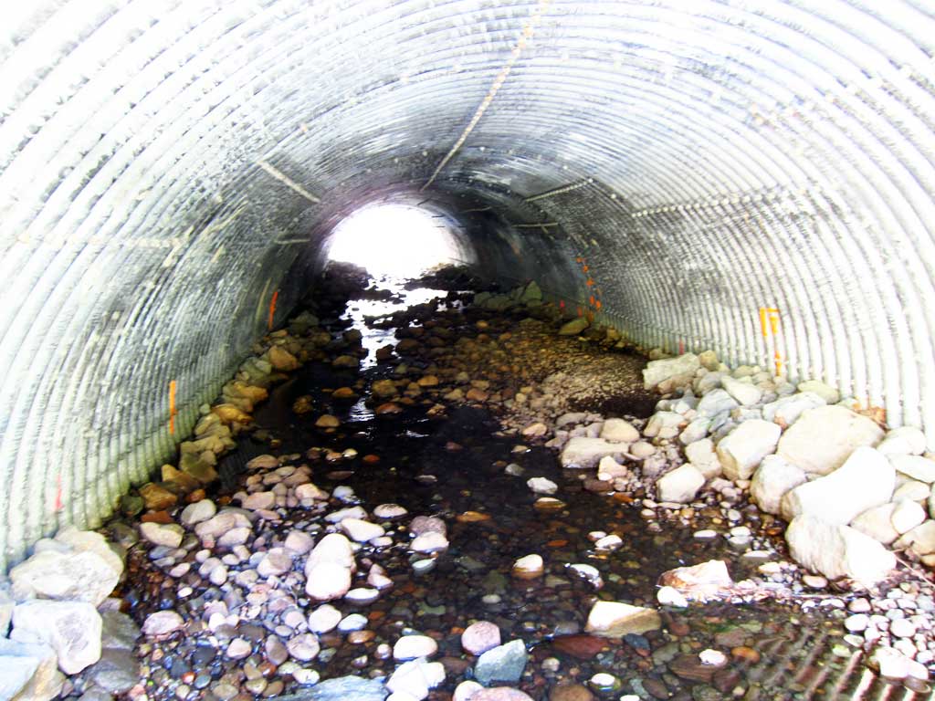
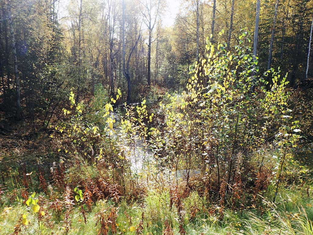
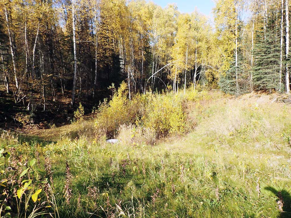
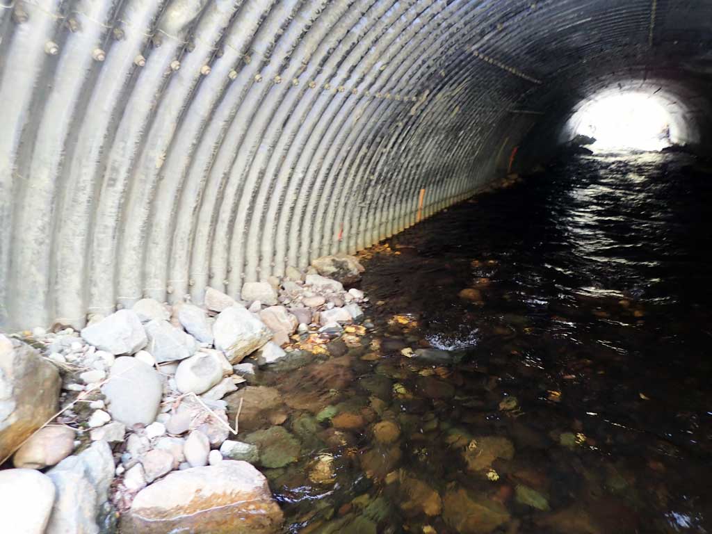
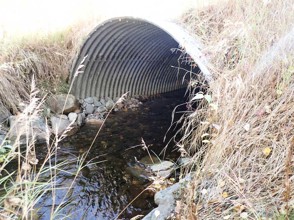
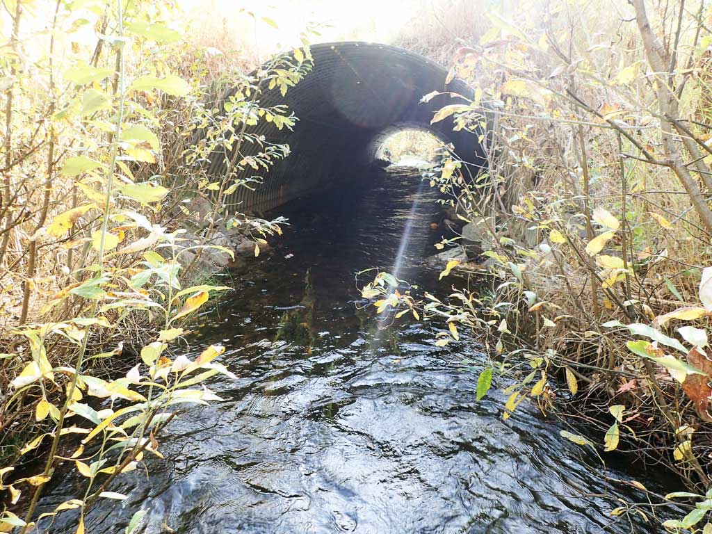
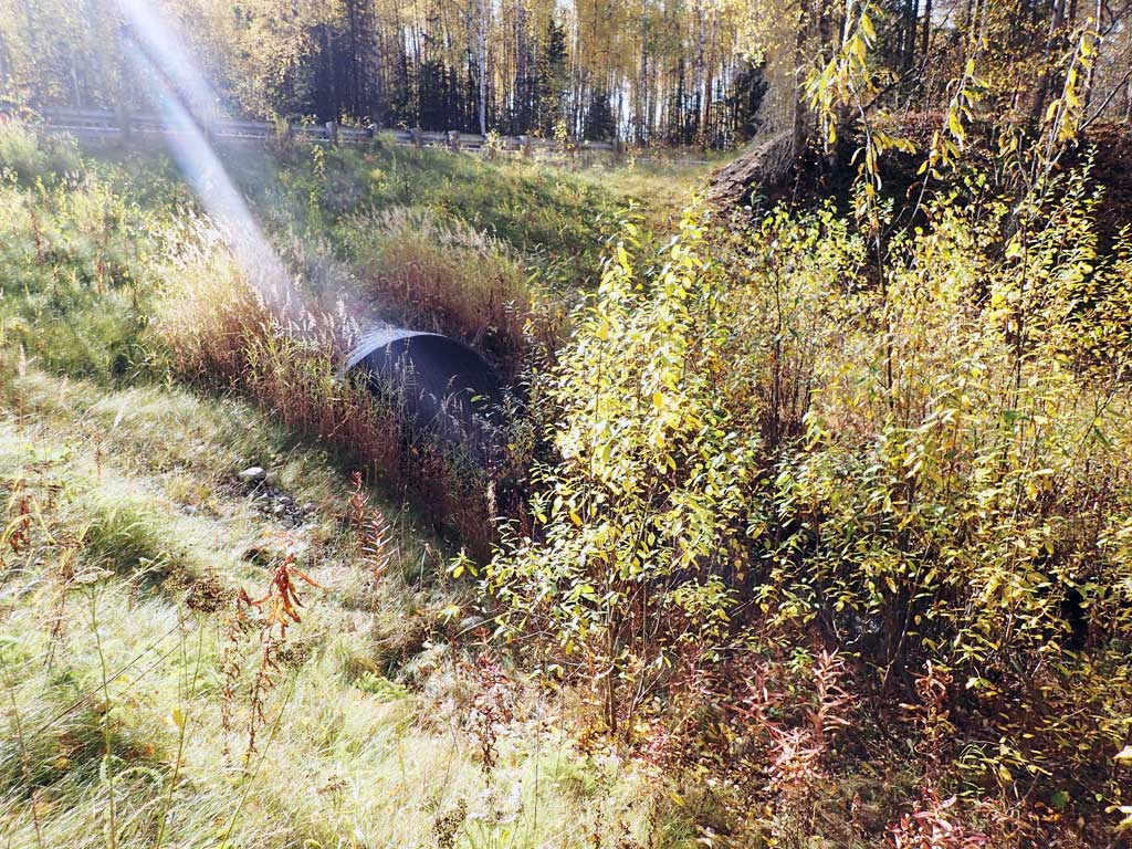
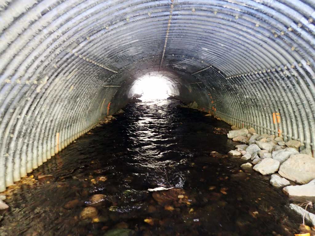
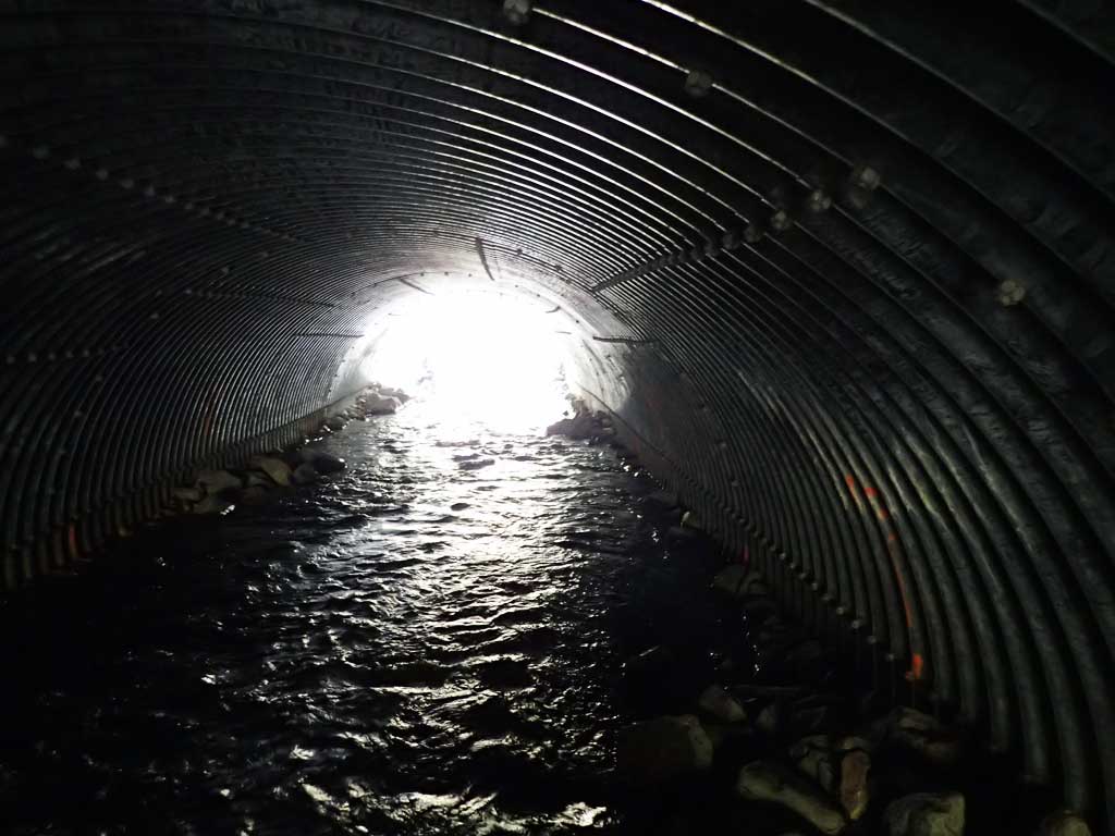
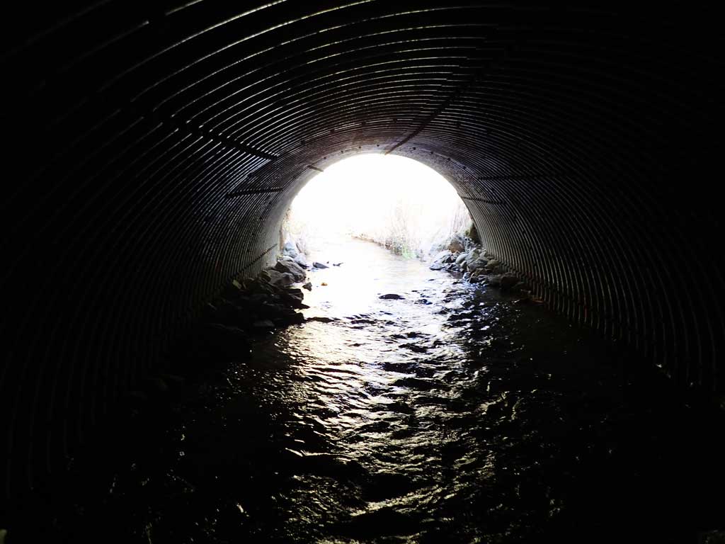
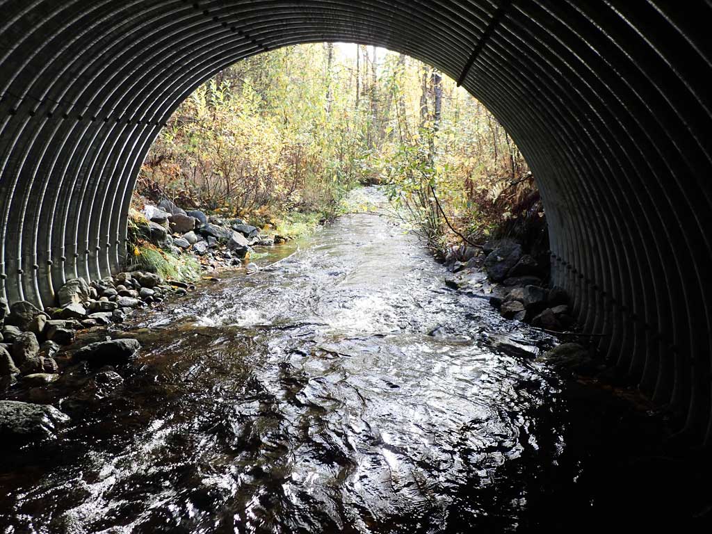
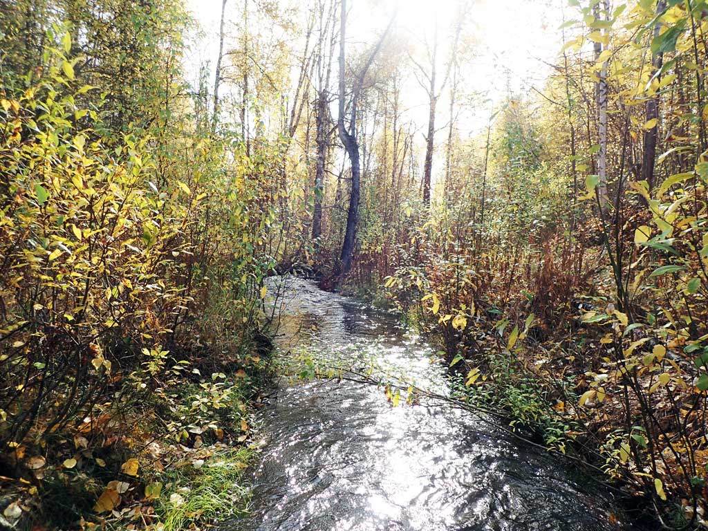
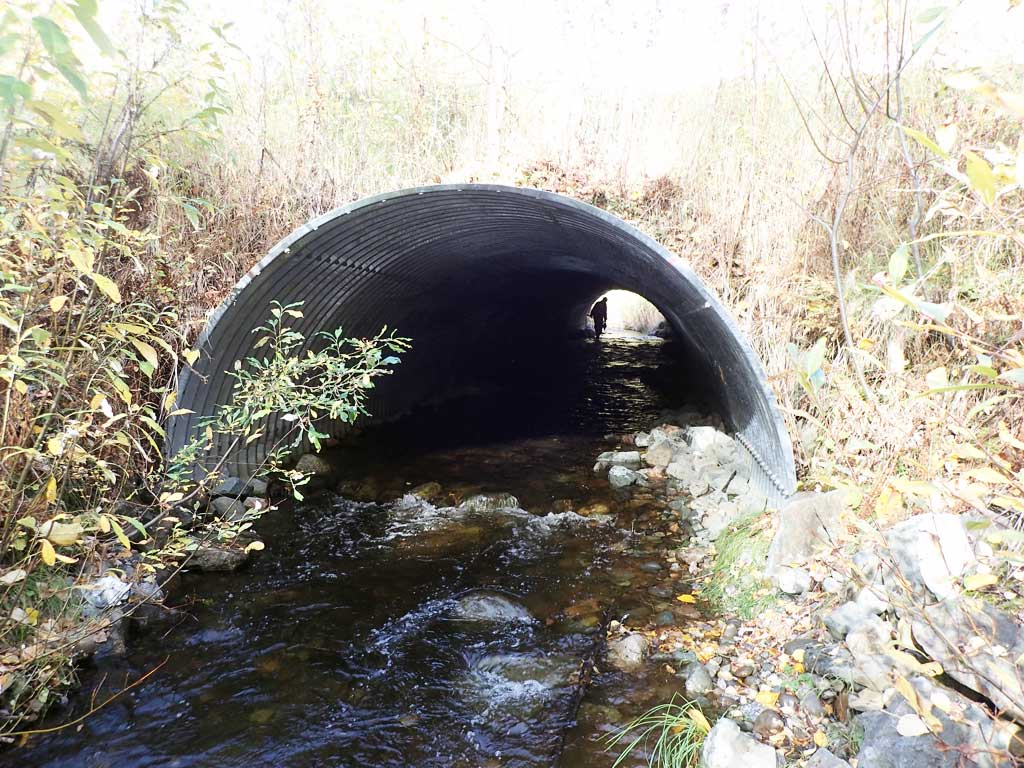
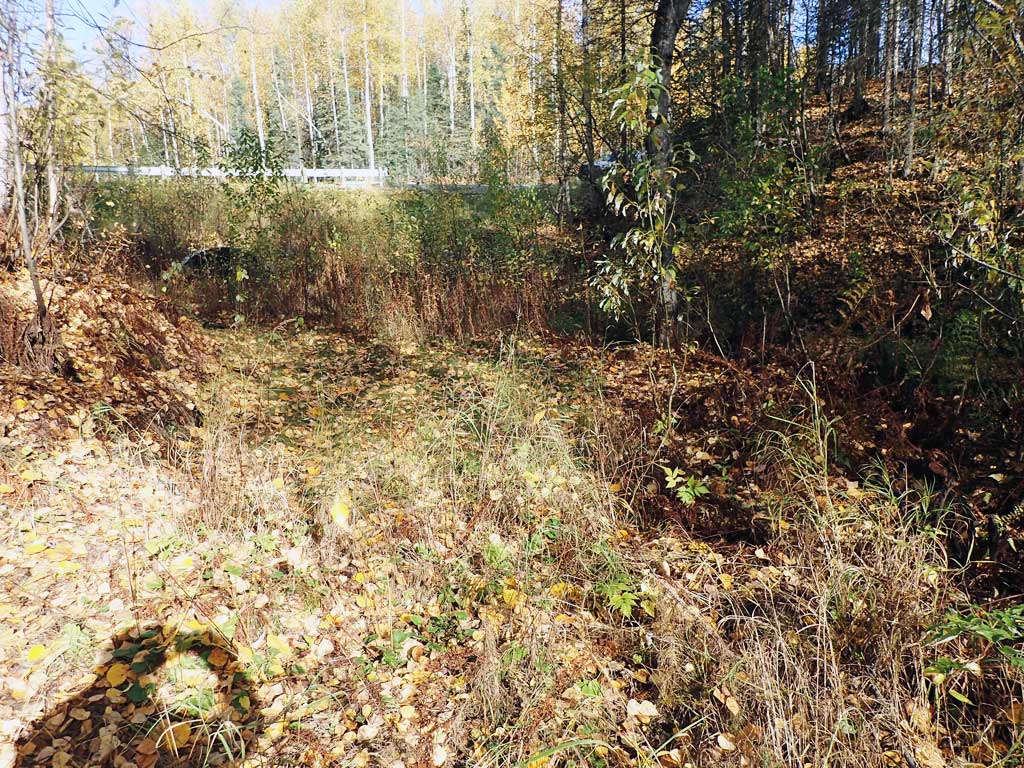
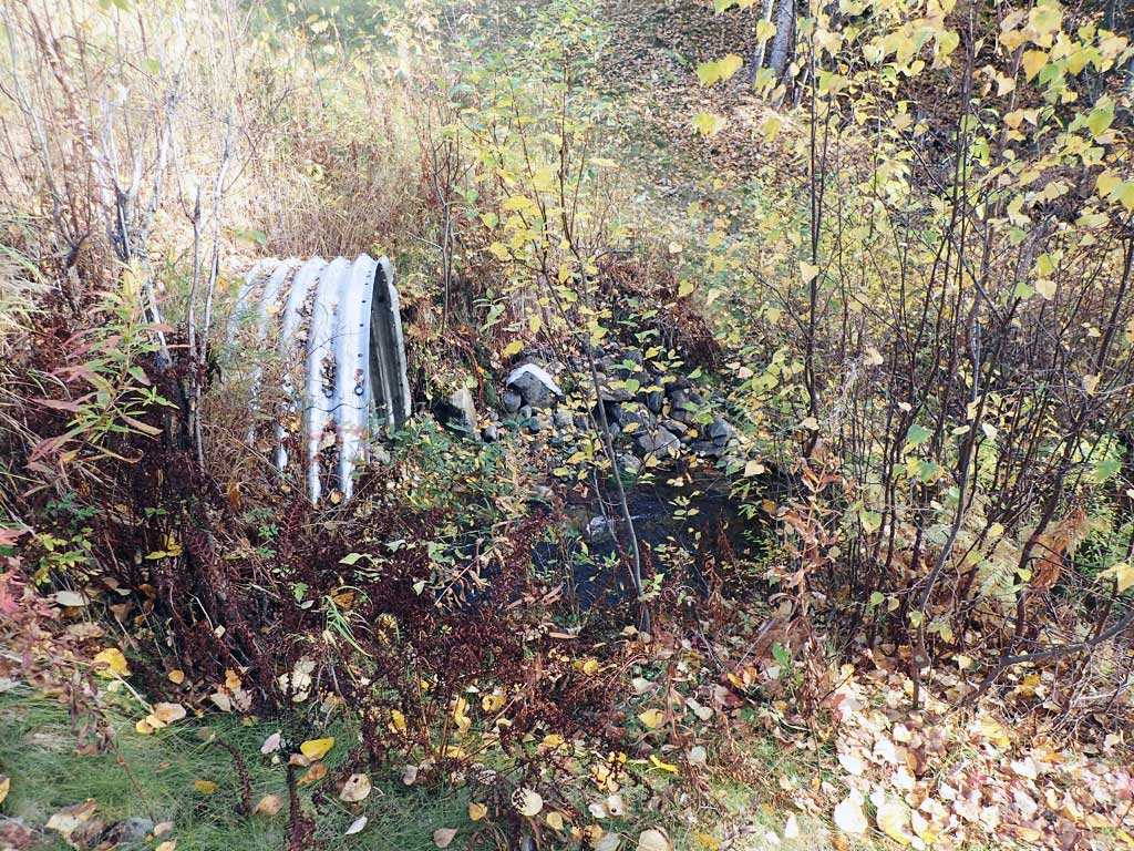
Comments: Replaced with a stream simulation culvert in June 2012. Culvert reassessment Sept. 2018. 12 adult spawning Coho observed downstream of culvert, 2 adult Coho observed inside culvert, and 3 adult Coho upstream of crossing. Upstream channel has been reconstructed for over 300 feet. Upstream and downstream bioengineering well established with willow and alders up to 12 feet or higher. Upstream constructed channel about 8 feet wide.
Culvert Measurements
| ID: 1 | Structure Type: Pipe-arch (Structural steel plate) | Fish Passage Rating: | ||||||||||||||||||||||||||||||||||||||||||
|
|
|
||||||||||||||||||||||||||||||||||||||||||
Comments: Construction plans list the culvert dimensions as a 13.25 x 9.3 PA, SSP. Substrate depths estimated from taking the difference of the opening and the listed culvert height. |
||||||||||||||||||||||||||||||||||||||||||||
Culvert Observations:
|
||||||||||||||||||||||||||||||||||||||||||||
Stream Measurements
|
|
No stream width data available.
Elevations
| Locator ID | Culvert Number |
River Distance (ft)1 |
Distance From Crossing (ft)2 |
Relative Elevation (ft) |
|---|---|---|---|---|
| D/S Grade Ctrl (Thalweg) | 0.00 | 90.74 | ||
| D/S Water Surface Elev | 0.00 | 91.38 | ||
| D/S Water Surface Elev | 30.00 | 91.68 | ||
| D/S Thalweg (Max pool depth) | 30.00 | 89.98 | ||
| D/S Tailcrest or 1st Thalweg | 84.00 | 91.68 | ||
| D/S Water Surface Elev | 84.00 | 92.33 | ||
| D/S Water Surface Elev | 99.00 | 92.44 | ||
| D/S Thalweg (Outlet riffle mid point) | 99.00 | 91.15 | ||
| Outlet Invert (On substrate) | 125.00 | 91.43 | ||
| D/S Water Surface Elev | 125.00 | 92.55 | ||
| Outlet Culvert Top | 125.00 | 100.00 | ||
| Inlet Culvert Top | 225.30 | 100.97 | ||
| Inlet Culvert Invert (On substrate) | 225.30 | 92.75 | ||
| U/S Water Surface Elev | 225.30 | 93.79 | ||
| U/S Water Surface Elev | 250.30 | 93.83 | ||
| U/S Thalweg (Profile point in upstream riffle) | 250.30 | 93.11 | ||
| U/S Thalweg (Profile point in upstream riffle) | 275.30 | 93.18 | ||
| U/S Water Surface Elev | 275.30 | 93.98 | ||
| U/S Thalweg (Profile point in upstream riffle) | 300.30 | 93.75 | ||
| U/S Water Surface Elev | 300.30 | 94.64 | ||
| U/S Thalweg (Profile point in upstream riffle) | 325.30 | 94.22 | ||
| U/S Water Surface Elev | 325.50 | 94.79 |
Notes:
- River distance is measured continuously throughout the survey reach along the thalweg of the stream.
- Measured from each end of the crossing along the thalweg of the stream.
Fish Sampling Efforts
| Gear Type: Visual Observation, Ground (A) | ||
| Comments: 9/26/18 - 12 Adult spawning coho observed DS of culvert, 2 inside culvert, and 3 upstream of culvert | ||
Fish Observations
| Species: adult spawning coho salmon | Life History: Anadromous | ||
| Total Fish Observed: 17 | Fish Measured: | Fork Lengths (mm) Min: Max: Mean: | |
| Collected/Observed by Gear Type: At Site Visual Observation, Ground (17) | |||
Photos


Questions or comments about this report can be directed to dfg.dsf.webmaster@alaska.gov