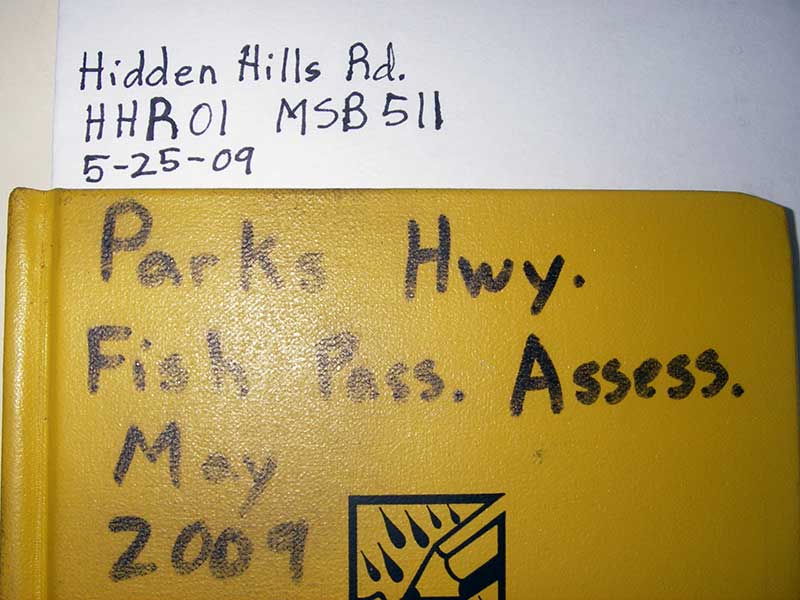
Fish Passage Site 20501464
Coordinates (dec. deg.): 61.98914°, -149.96030°
Legal Description: S022N004W23
Region: South Central
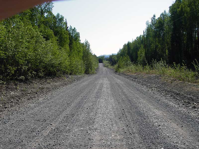
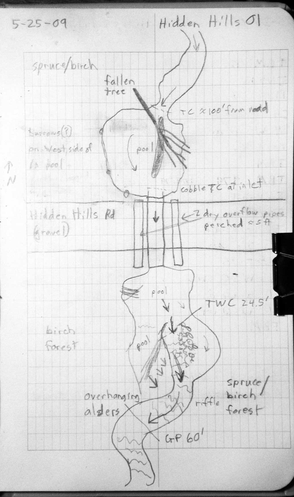
Road Name: Hidden Hills Road
Datum: WGS84
Quad Name / ITM: Anchorage D-8
AWC Stream #: 247-41-10200-2190-3020
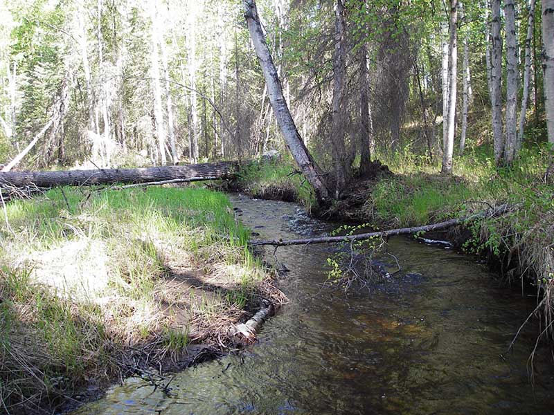
Stream Name: Caswell Creek tributary
Elevation:
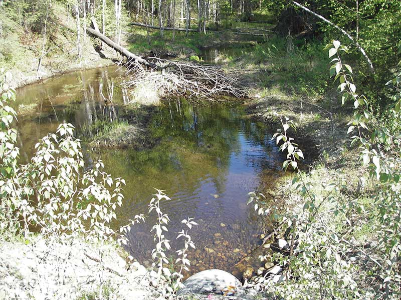
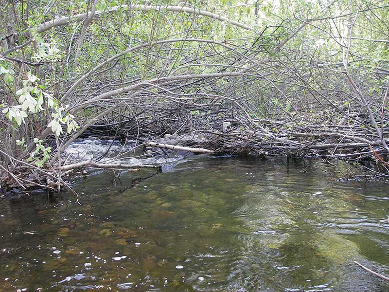
Site Comments: Creek is the outlet stream to the smaller Caswell Lakes complex.
arrow to the right of the survey date below to choose a different report for this site.
Survey PRK09-HHR01
Project Supervisor: Gillian O'Doherty, ADFG
Observers: Heidi Zimmer, Ben Histand
Overall Fish Passage Rating:
Tidal: No
Backwatered: No
Step Pools:
Construction Year:
Site Observations:
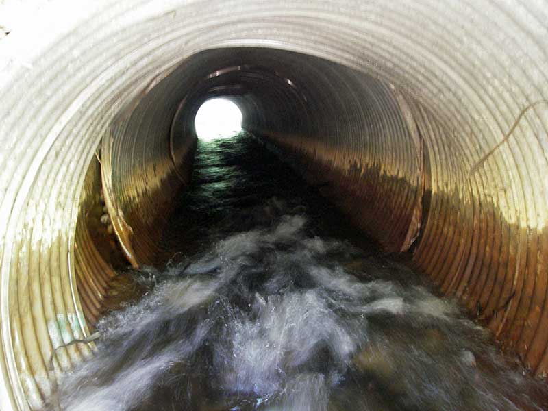
- Mechanical damage or joints parting
- Compound gradient in pipe
- Culvert gradient red
- Constriction ratio red
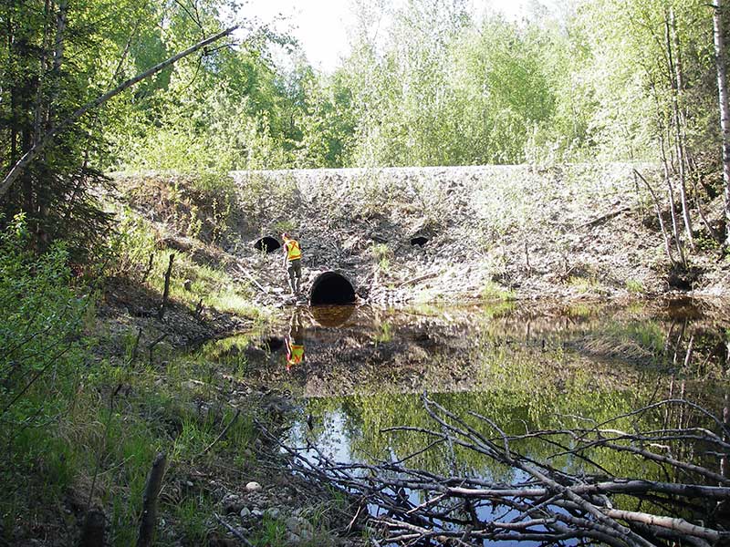
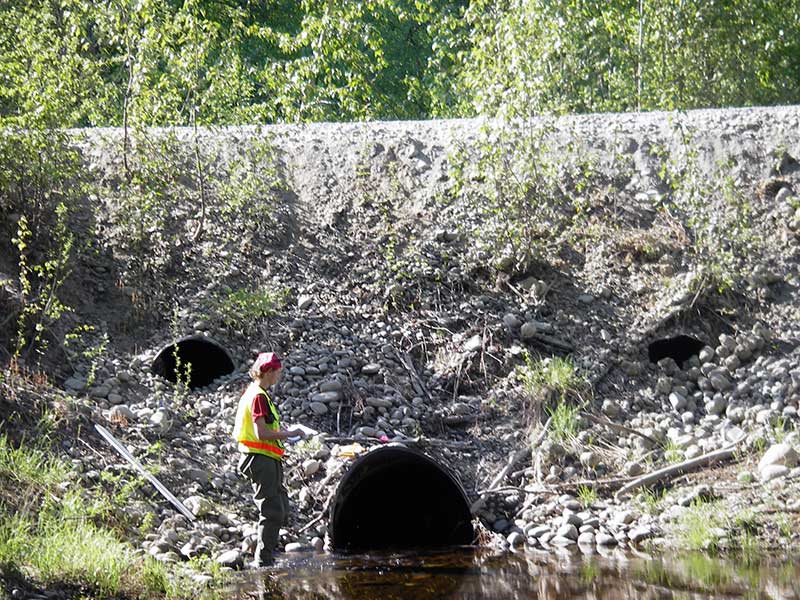
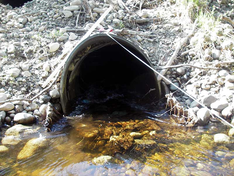
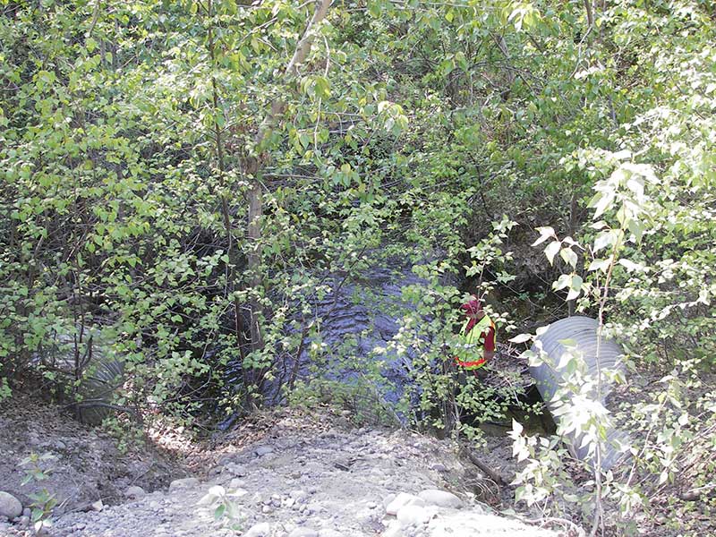
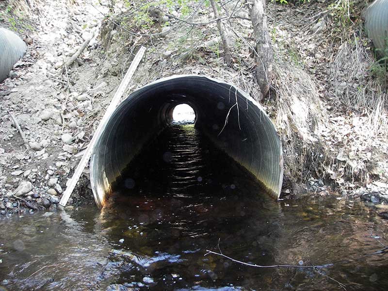
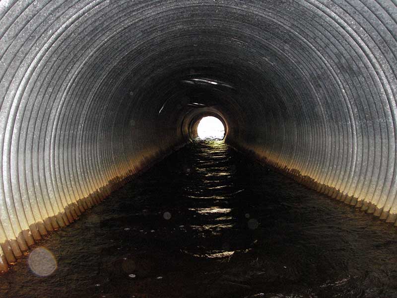
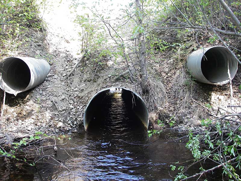
Comments: Culvert outlet separating in multiple places. Two 3'x3' overflow pipes (.5"x2.67" corr) above main pipe, outlets clear, inlets full of gravel
Culvert Measurements
| ID: 1 | Structure Type: Circular pipe (Corrugated steel) | Fish Passage Rating: | |||||||||||||||||||||||||||||||||||||||||
|
|
|
|||||||||||||||||||||||||||||||||||||||||
Culvert Observations:
|
|||||||||||||||||||||||||||||||||||||||||||
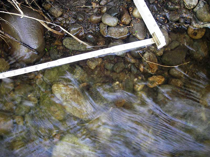
Stream Measurements
|
|
| Stream Width Type | Distance From Crossing (ft) |
Stream Width (ft) |
|---|---|---|
| Upstream ordinary high water | 168.0 | 11.00 |
| Upstream ordinary high water | 190.0 | 10.50 |
| Upstream ordinary high water | 215.0 | 9.00 |
Elevations
| Locator ID | Culvert Number |
River Distance (ft)1 |
Distance From Crossing (ft)2 |
Relative Elevation (ft) |
|---|---|---|---|---|
| Outlet Pool Water Elev (wd = 1.75 at invert) | 93.92 | |||
| U/S Headwater (wd = 0.73 @ invert) | 94.73 | |||
| D/S Grade Ctrl (Thalweg) | 0.00 | 60.0 | 91.56 | |
| D/S Water Surface Elev (wd = 0.92 @ GP) | 0.00 | 60.0 | 92.48 | |
| D/S Tailcrest or 1st Thalweg | 35.50 | 24.5 | 92.91 | |
| D/S Water Surface Elev (wd = 1.05 at TWC) | 35.50 | 24.5 | 93.96 | |
| D/S Thalweg (bottom of pool) | 51.50 | 8.5 | 91.31 | |
| D/S Water Surface Elev (pool ws) | 54.60 | 5.4 | 95.04 | |
| D/S Thalweg | 55.00 | 5.0 | 91.60 | |
| Road Elev | 94.50 | 109.47 | ||
| Inlet Culvert Invert | 129.00 | 0.0 | 94.00 | |
| U/S Grade Ctrl (Thalweg) (TC of large pool u/s) | 134.40 | 5.4 | 94.14 |
Notes:
- River distance is measured continuously throughout the survey reach along the thalweg of the stream.
- Measured from each end of the crossing along the thalweg of the stream.
Fish Sampling Efforts
| Gear Type: Visual Observation, Ground (A) | ||
| Comments: Observed about 6 salmonids in upstream pool possibly trout, estimated length about 30cm | ||
| Gear Type: Visual Observation, Ground (B) | ||
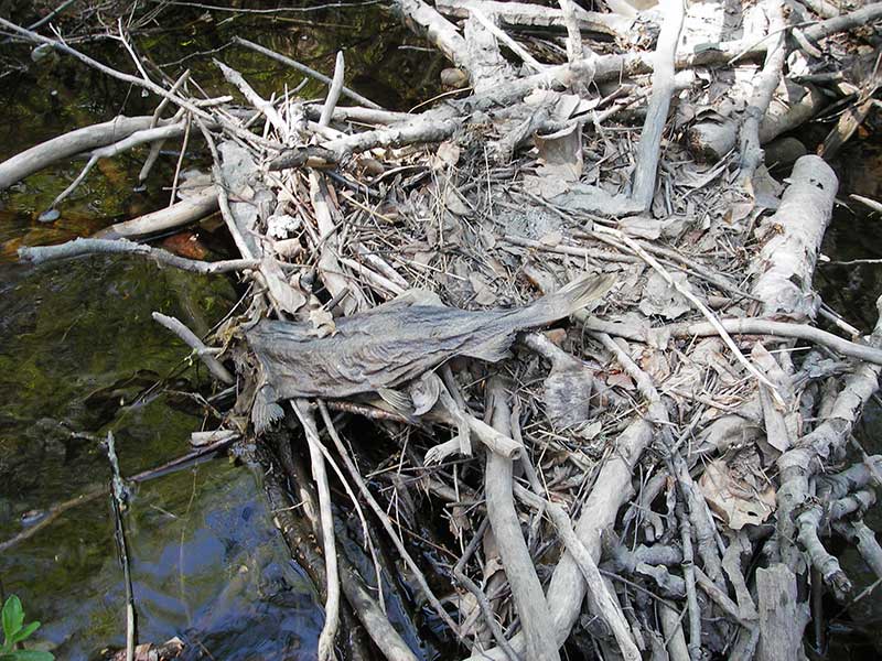
| Comments: Observed dead adult sockey carcass downstream of culvert. | ||
Fish Observations
| Species: trout-unspecified | Life History: Unknown | ||
| Total Fish Observed: 6 | Fish Measured: | Fork Lengths (mm) Min: Max: Mean: | |
| Collected/Observed by Gear Type: Upstream Visual Observation, Ground (6) | |||
| Species: carcass sockeye salmon | Life History: Anadromous | ||
| Total Fish Observed: 1 | Fish Measured: | Fork Lengths (mm) Min: Max: Mean: | |
| Collected/Observed by Gear Type: Downstream Visual Observation, Ground (1) | |||
Photos
Questions or comments about this report can be directed to dfg.dsf.webmaster@alaska.gov