Fish Passage Site 20501463
Coordinates (dec. deg.): 62.34392°, -150.06609°
Legal Description: S026N004W17
Region: South Central
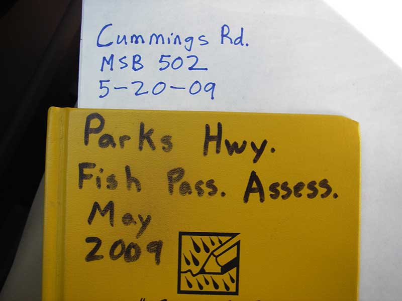
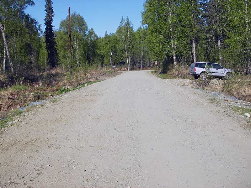
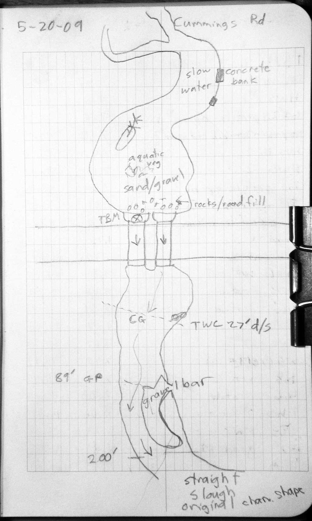
Road Name: Cummings Drive
Datum: WGS84
Quad Name / ITM: Talkeetna B-1
AWC Stream #: 247-41-10200-2370-3018
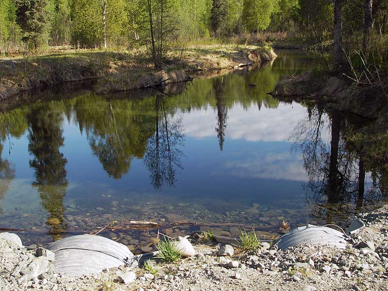
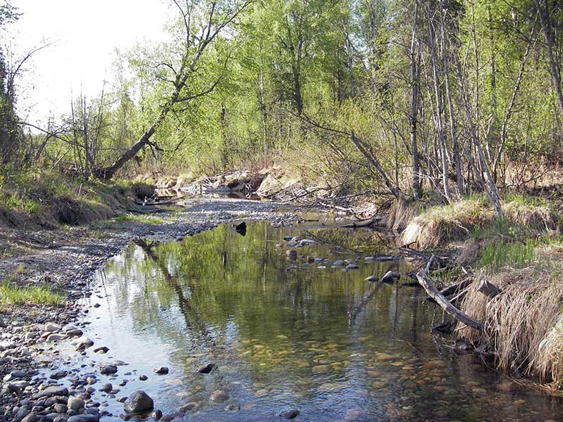
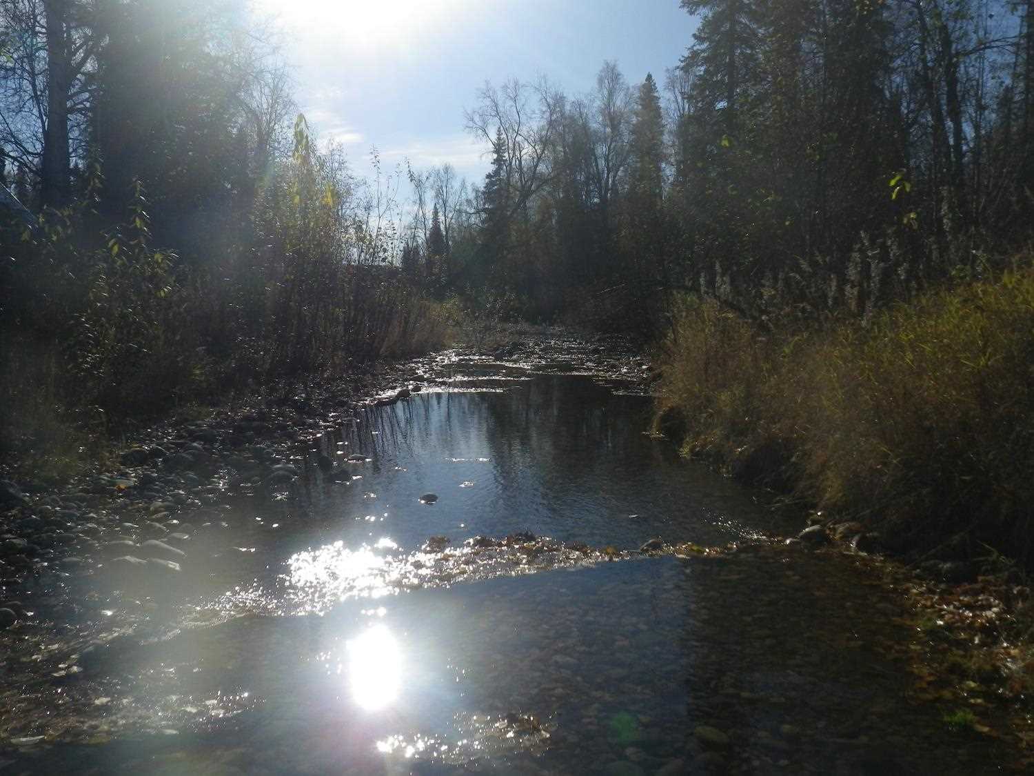
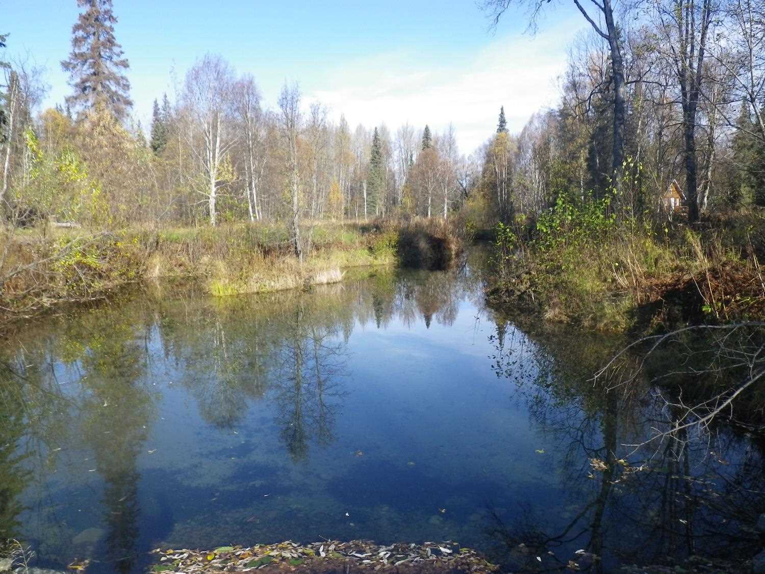
Stream Name: Talkeetna River tributary
Elevation:
Site Comments: None
Survey PRK09-CMG01
Project Supervisor: Gillian O'Doherty, ADFG
Observers: Heidi Zimmer, Ben Histand
Overall Fish Passage Rating:
Tidal: No
Backwatered: No
Step Pools: No
Construction Year:
Site Observations:
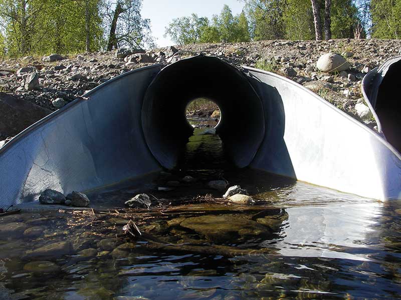
- Culvert gradient gray
- Outfall height red
- Constriction ratio red
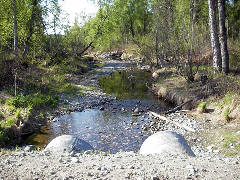
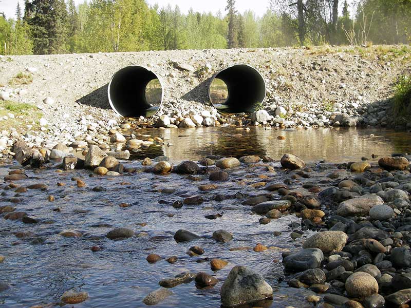
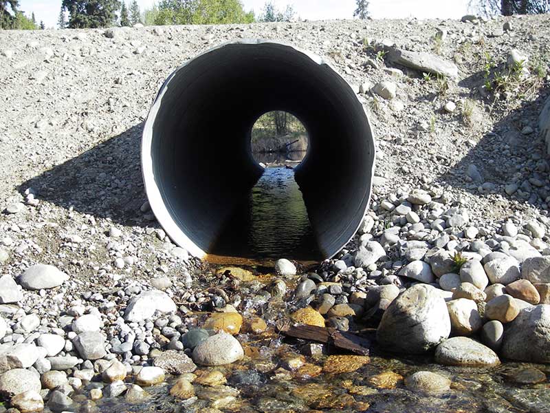
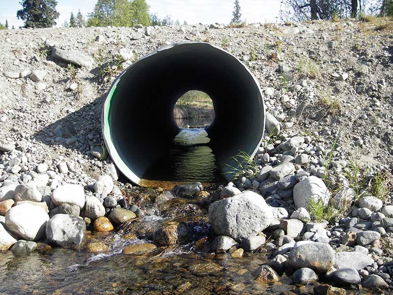
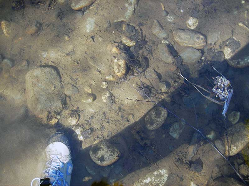
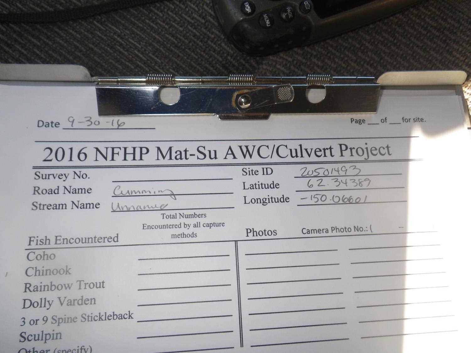
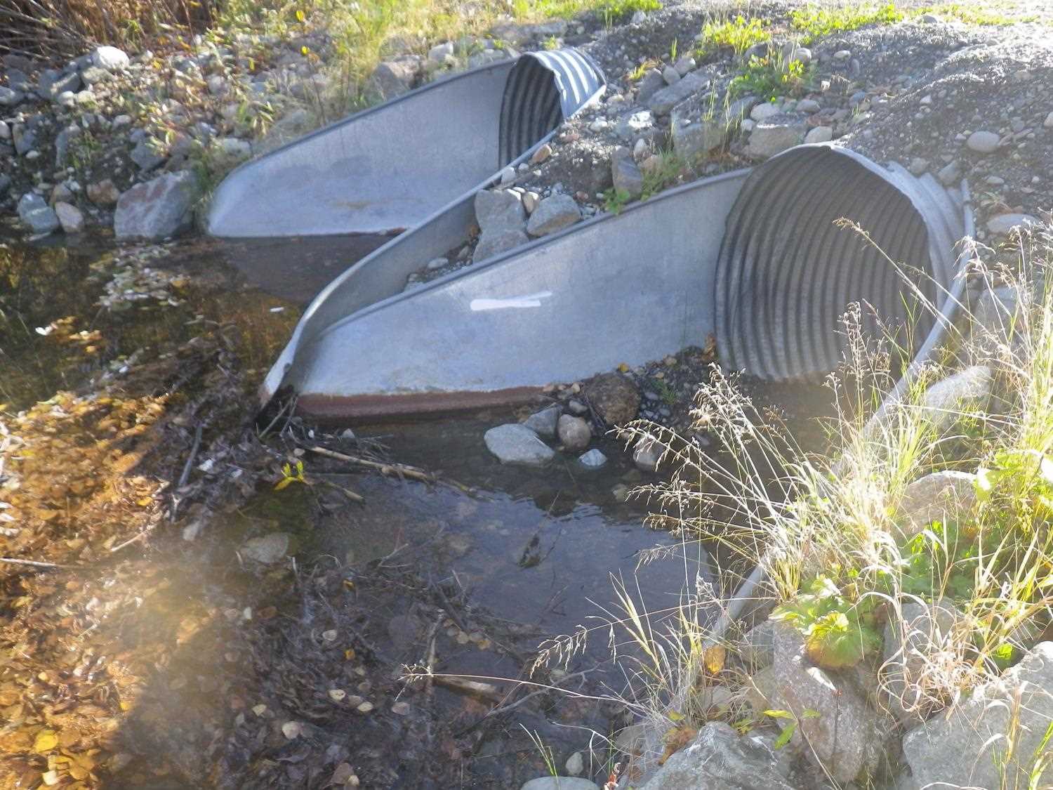
Comments: Max gradient is in apron. Downstream widths taken below scour from 2006 flood. Resident says that prior to 2006 stream was a deeper, still slough with spawning salmon. Flood washed out road and water level is now several feet lower. *** Updated site photos added from 9/30/16 site visit from Sampling Unmapped in the MSB project. Fish sampling information entered into AFFI ***
Culvert Measurements
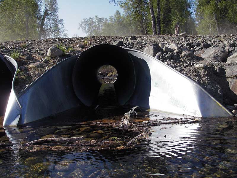
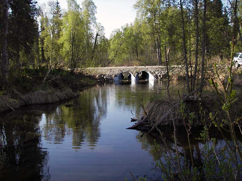
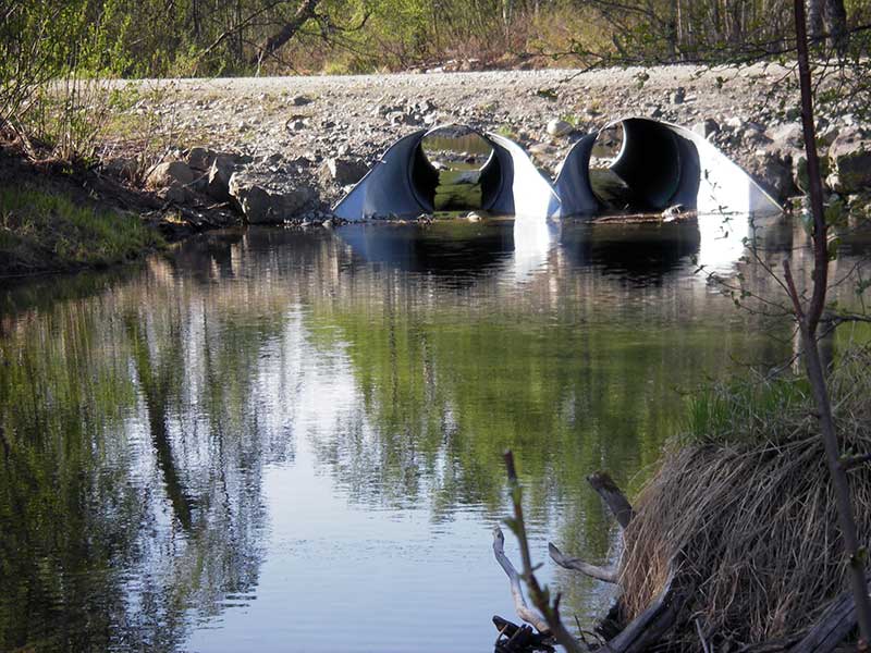
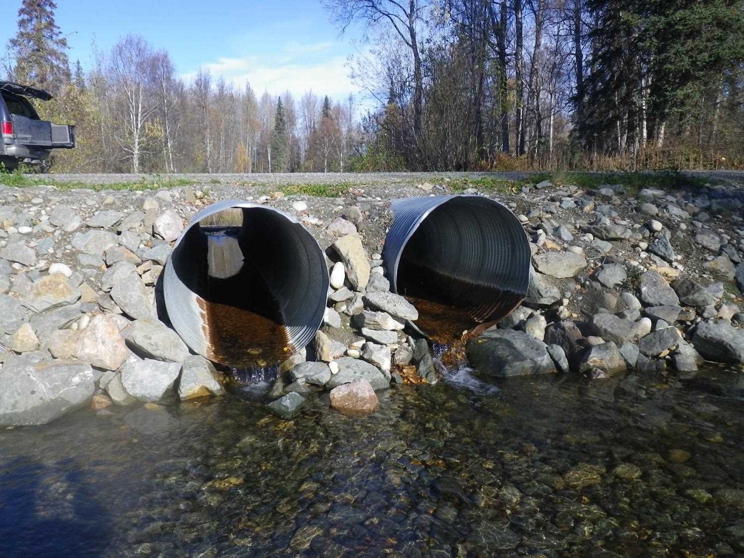
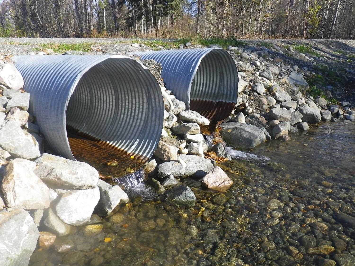
| ID: 1 | Structure Type: Circular pipe (Corrugated steel) | Fish Passage Rating: | |||||||||||||||||||||||||||||||||||||||||
|
|
|
|||||||||||||||||||||||||||||||||||||||||
Culvert Observations:
|
|||||||||||||||||||||||||||||||||||||||||||
| ID: 2 | Structure Type: Circular pipe (Corrugated steel) | Fish Passage Rating: | |||||||||||||||||||||||||||||||||||||||||
|
|
|
|||||||||||||||||||||||||||||||||||||||||
Comments: Max gradient is in apron |
|||||||||||||||||||||||||||||||||||||||||||
Culvert Observations:
|
|||||||||||||||||||||||||||||||||||||||||||
Stream Measurements
|
|
| Stream Width Type | Distance From Crossing (ft) |
Stream Width (ft) |
|---|---|---|
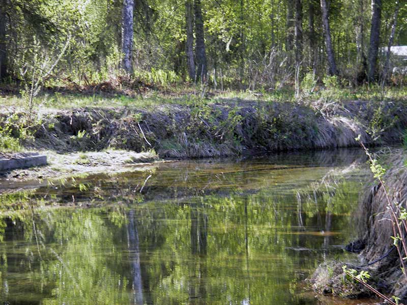
| Downstream ordinary high water | 280.0 | 24.50 |
| Downstream ordinary high water | 330.0 | 25.00 |
| Downstream ordinary high water | 360.0 | 25.50 |
Elevations
| Locator ID | Culvert Number |
River Distance (ft)1 |
Distance From Crossing (ft)2 |
Relative Elevation (ft) |
|---|---|---|---|---|
| Outlet Pool Water Elev | 2 | 95.31 | ||
| Outlet Pool Water Elev | 1 | 95.30 | ||
| U/S Headwater | 2 | 96.18 | ||
| U/S Headwater | 1 | 96.21 | ||
| D/S Grade Ctrl (Thalweg) | 0.00 | 89.0 | 94.56 | |
| D/S Tailcrest or 1st Thalweg | 64.20 | 24.8 | 95.08 | |
| D/S Thalweg (bottom of cascade) | 2 | 84.40 | 4.6 | 95.11 |
| D/S Thalweg (bottom of cascade) | 1 | 84.40 | 4.6 | 95.03 |
| D/S Thalweg (cascade step) | 1 | 86.30 | 2.7 | 95.31 |
| D/S Thalweg (cascade step) | 2 | 87.20 | 1.8 | 95.45 |
| Outlet Invert | 1 | 89.00 | 0.0 | 95.67 |
| Outlet Invert | 2 | 89.00 | 0.0 | 95.70 |
| D/S Water Surface Elev (WS at InvOut) | 2 | 89.00 | 0.0 | 95.97 |
| D/S Water Surface Elev (WS at InvOut) | 1 | 89.00 | 0.0 | 96.02 |
| Road Elev | 109.00 | 101.65 | ||
| Inlet Culvert Invert | 2 | 129.00 | 0.0 | 95.90 |
| Inlet Culvert Invert | 1 | 129.00 | 0.0 | 96.00 |
| U/S Thalweg (middle of apron) | 2 | 131.10 | 2.1 | 95.86 |
| U/S Thalweg (middle of apron) | 1 | 131.40 | 2.4 | 95.79 |
| U/S Thalweg (end of apron) | 2 | 134.80 | 5.8 | 96.16 |
| U/S Thalweg (end of apron) | 1 | 135.20 | 6.2 | 96.05 |
| U/S Thalweg (bottom of road fill) | 2 | 143.10 | 14.1 | 93.27 |
Notes:
- River distance is measured continuously throughout the survey reach along the thalweg of the stream.
- Measured from each end of the crossing along the thalweg of the stream.
Fish Sampling Efforts
No fish sampling occurred during this survey.
Fish Observations
No fish observations occurred during this survey.
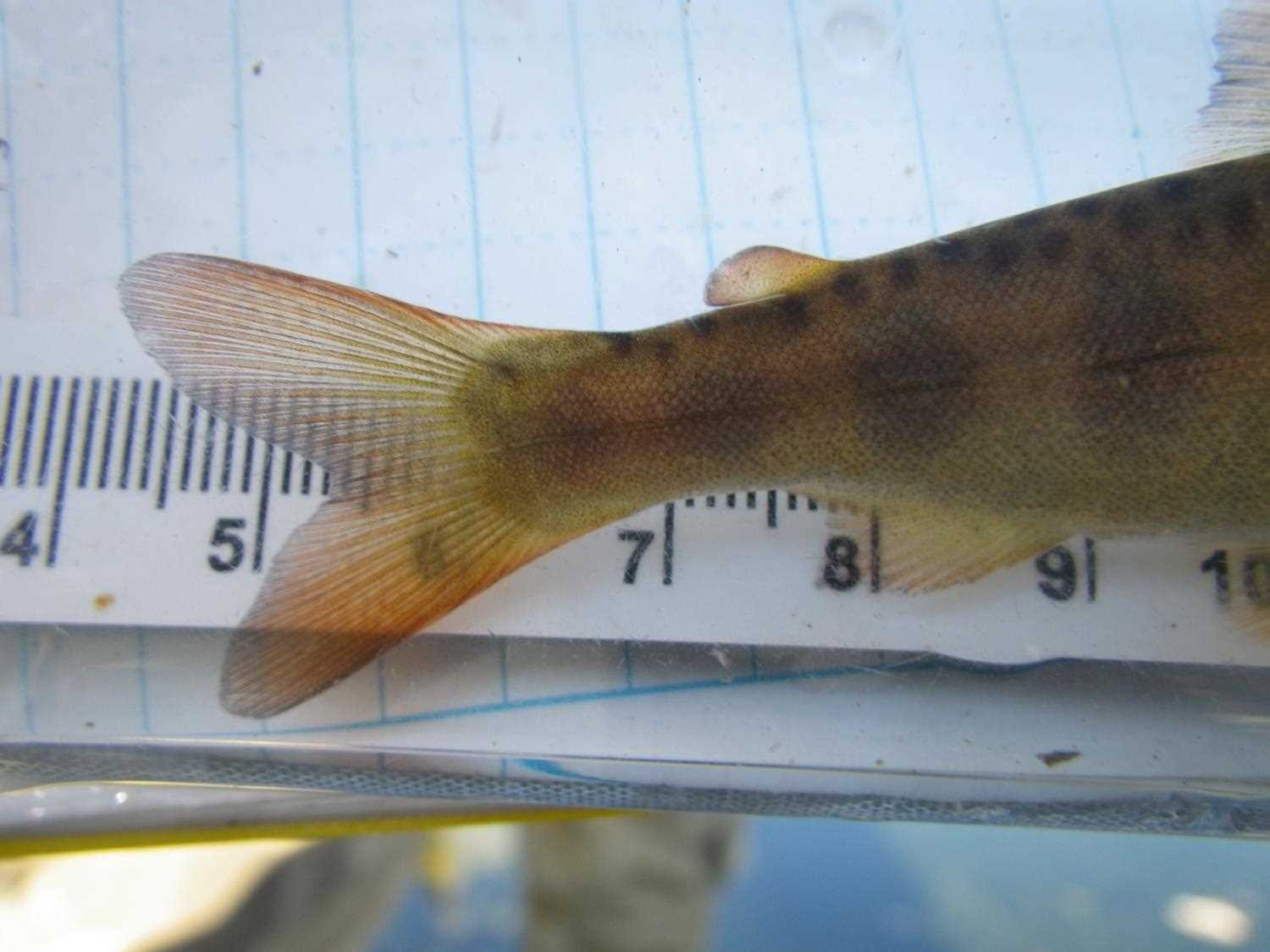
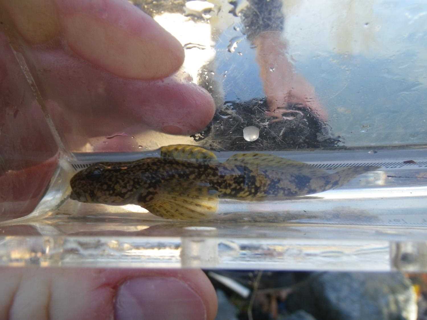
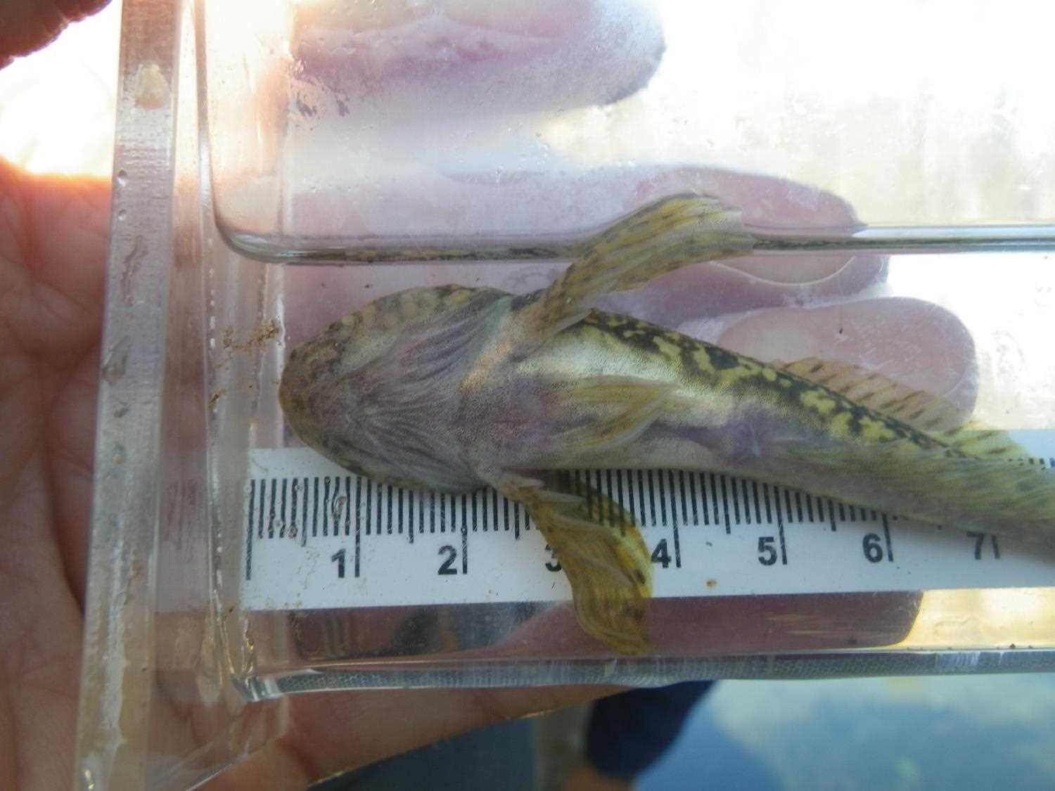
Photos

Questions or comments about this report can be directed to dfg.dsf.webmaster@alaska.gov