Fish Passage Site 20501462
Coordinates (dec. deg.): 62.00833°, -149.98599°
Legal Description: S022N004W10
Region: South Central
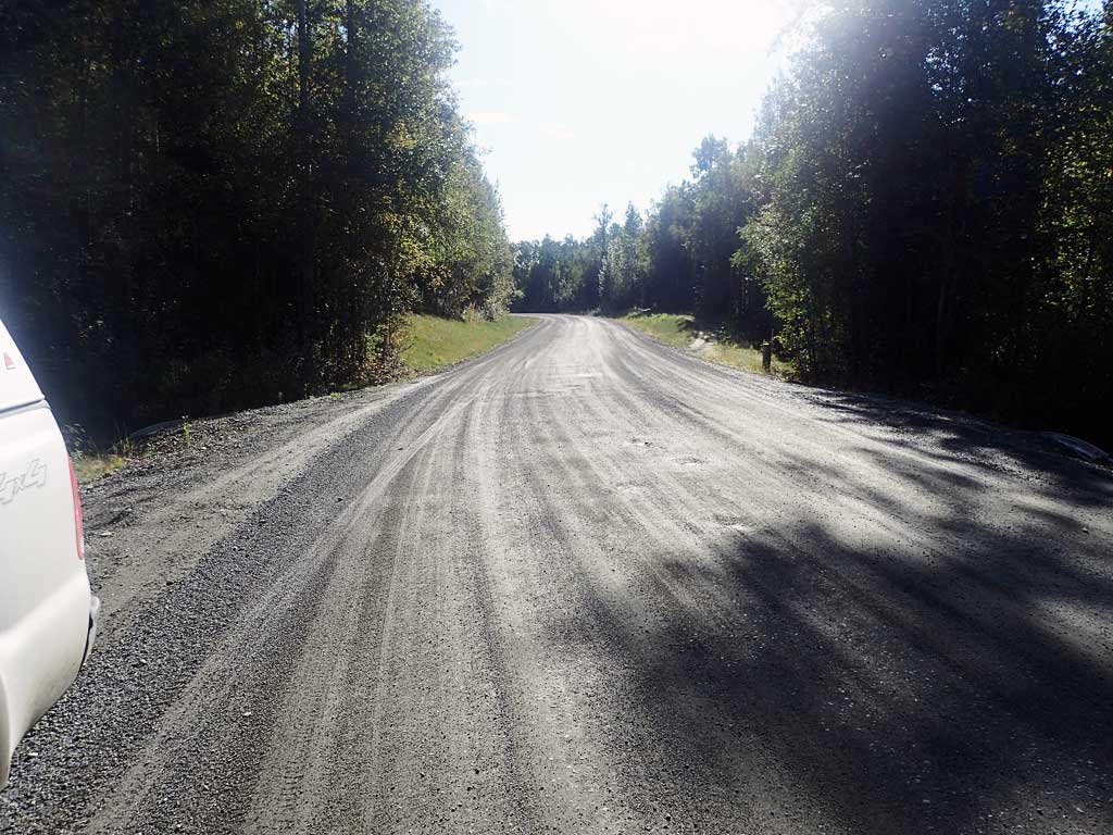
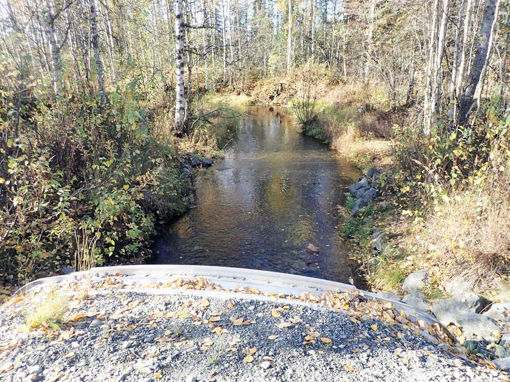
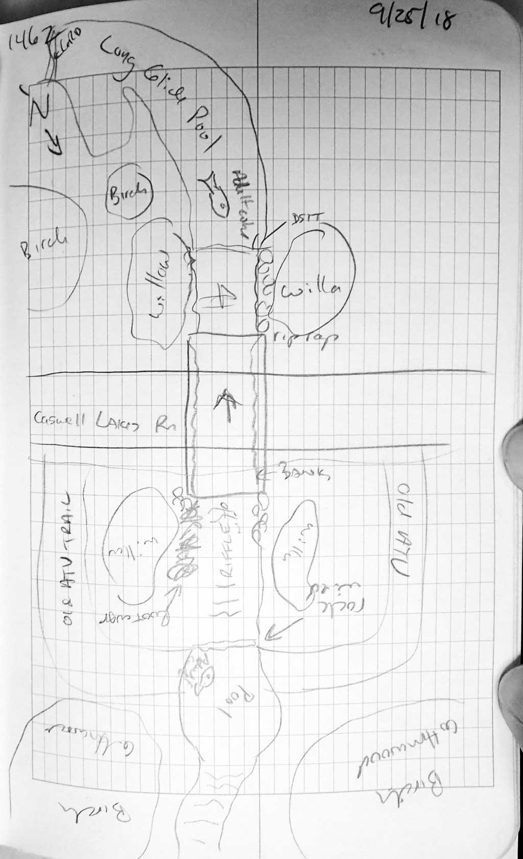
Road Name: Caswell Lakes Road
Datum: WGS84
Quad Name / ITM: Talkeetna Mts A-6
AWC Stream #: 247-41-10200-2190
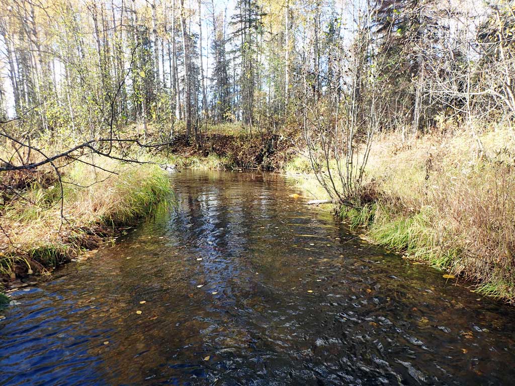
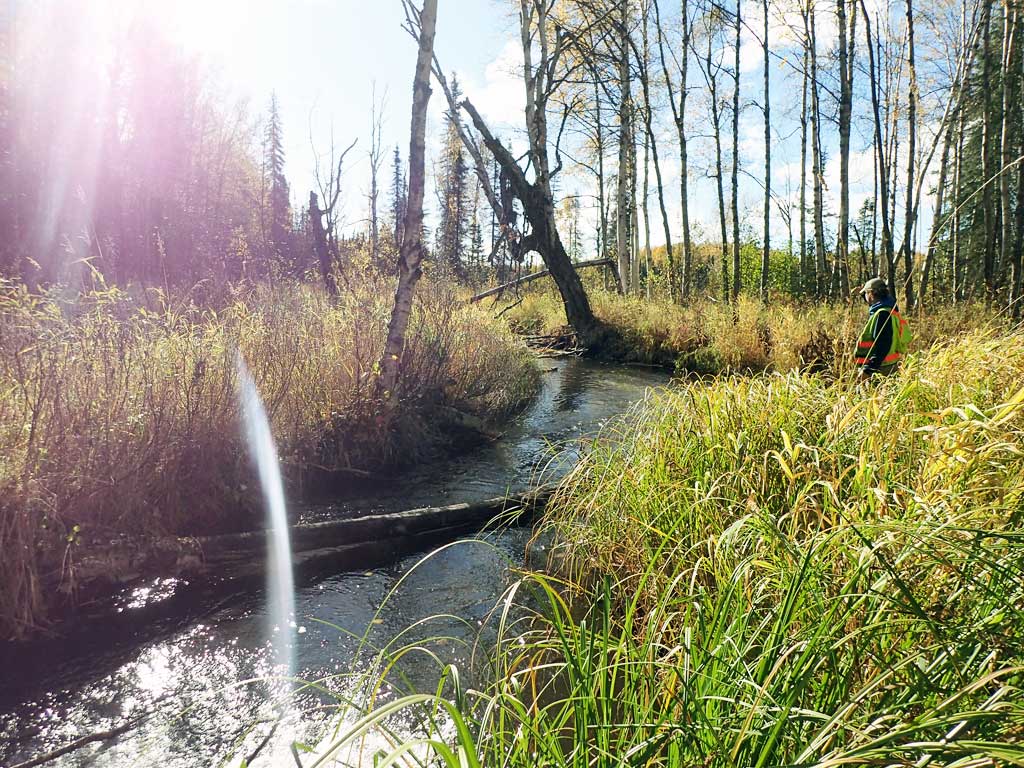
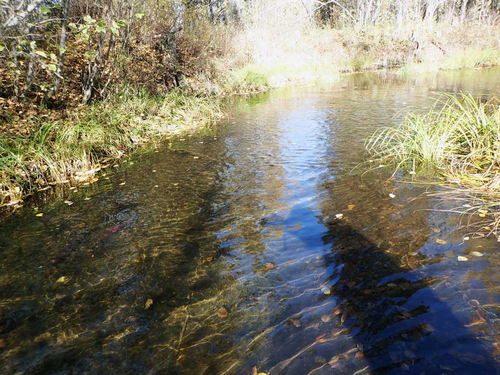
Stream Name: Caswell Creek
Elevation:
Site Comments: None
arrow to the right of the survey date below to choose a different report for this site.
Survey UPDATE-HHR03
Project Supervisor: Gillian O'Doherty, ADFG
Observers: Mark Eisenman, Shane Hetzog
Overall Fish Passage Rating:
Tidal: No
Backwatered: No
Step Pools: No
Construction Year: 2014
Site Observations:
- None of this type
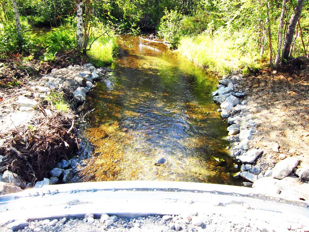
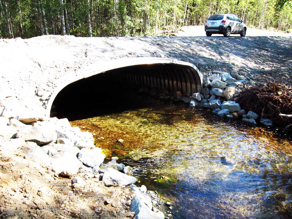
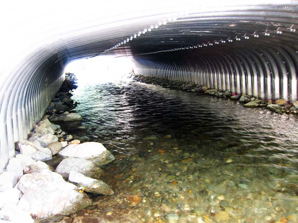
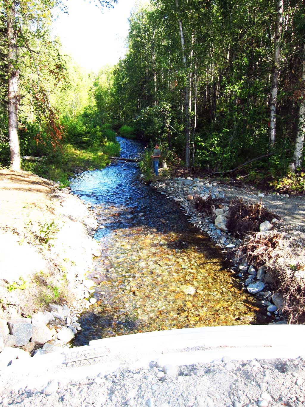
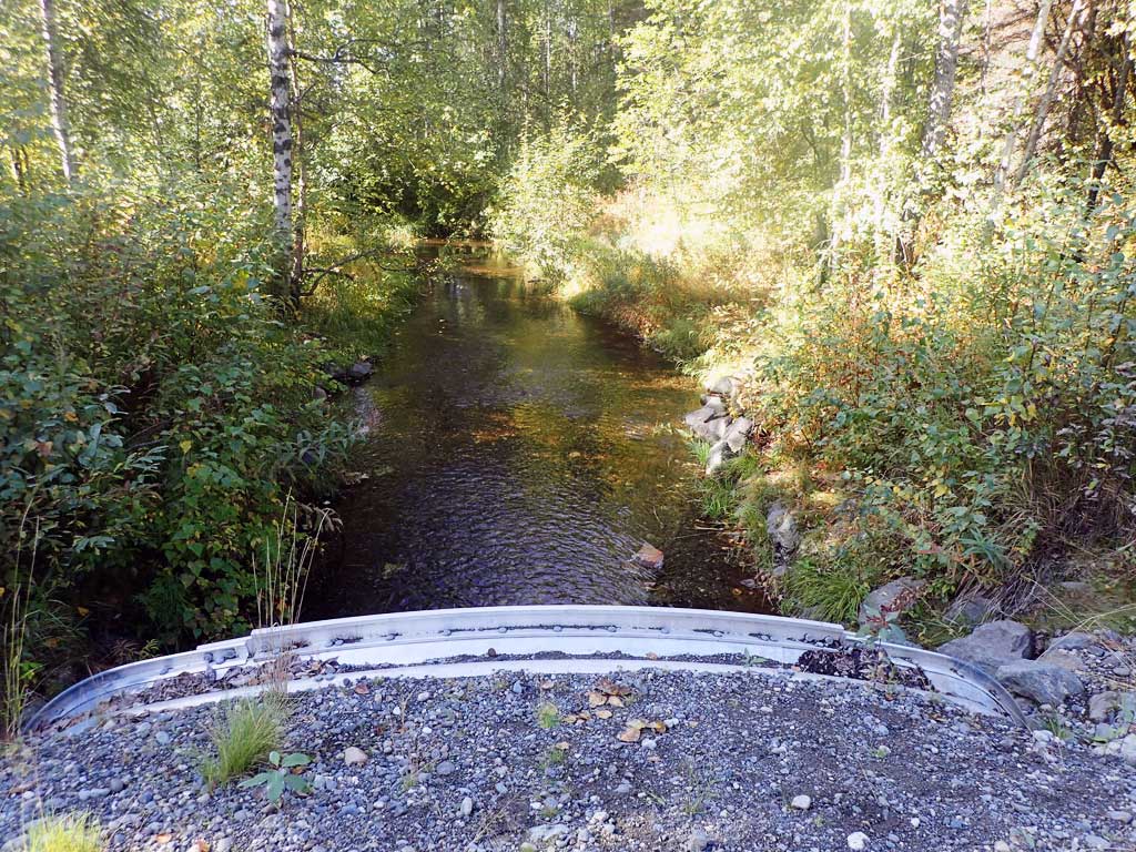
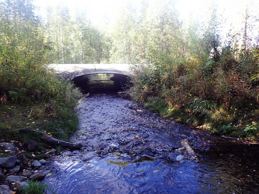
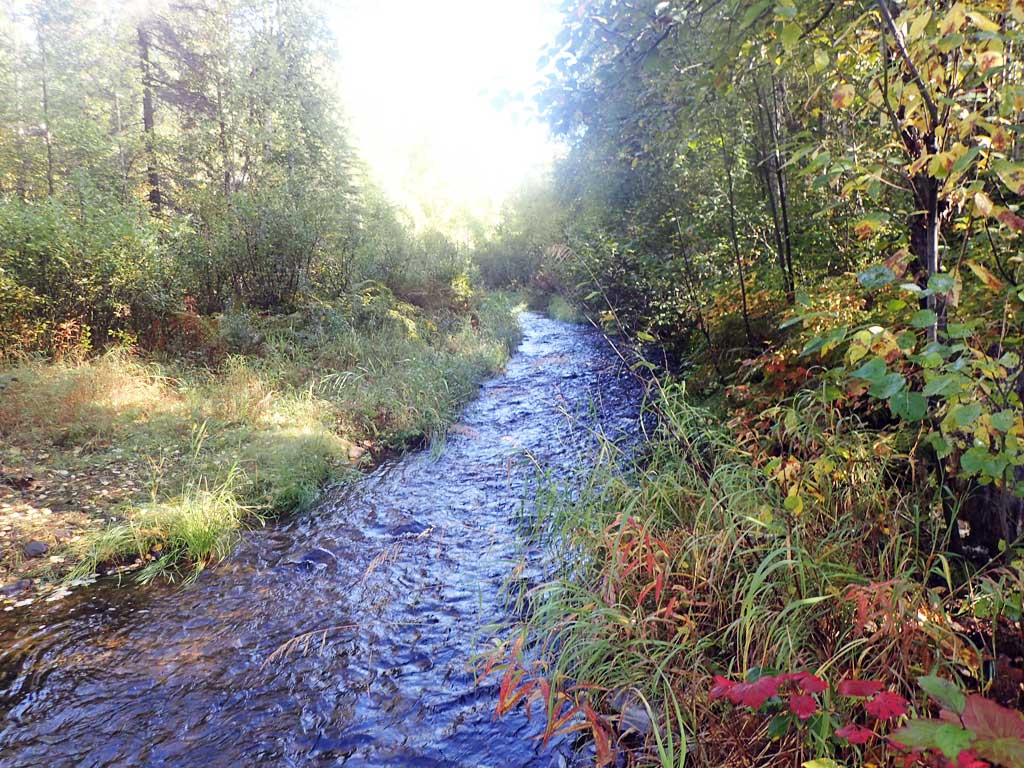
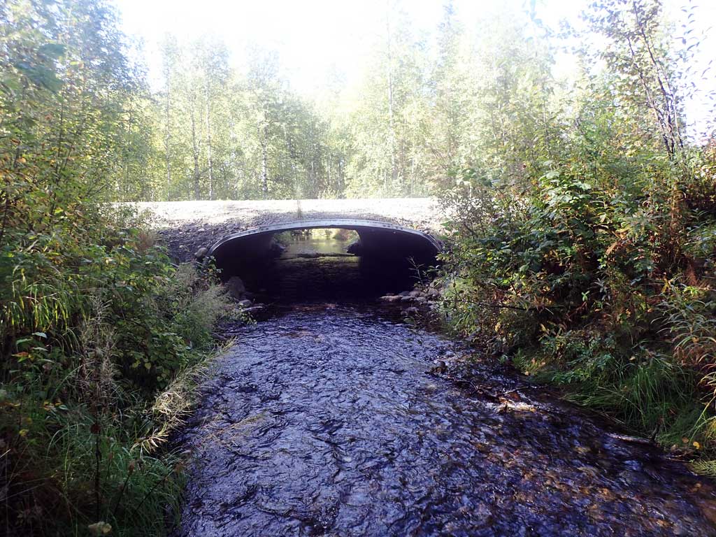
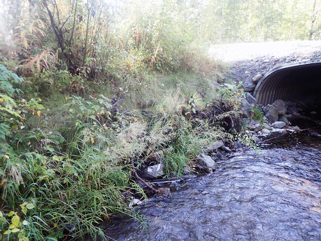
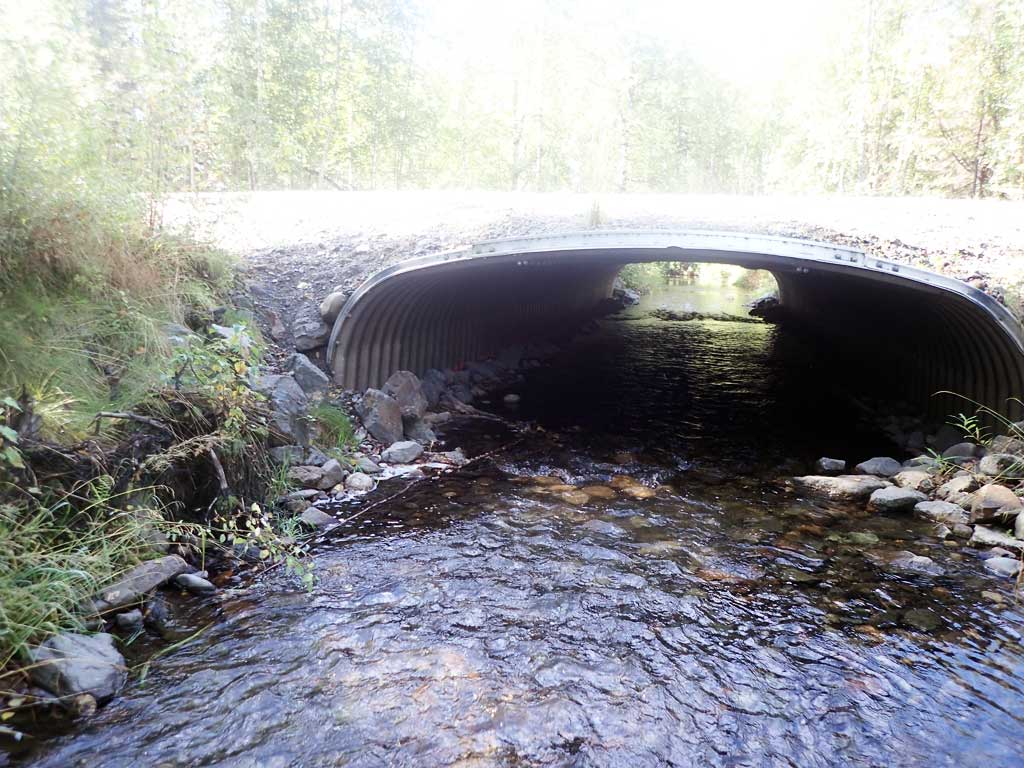
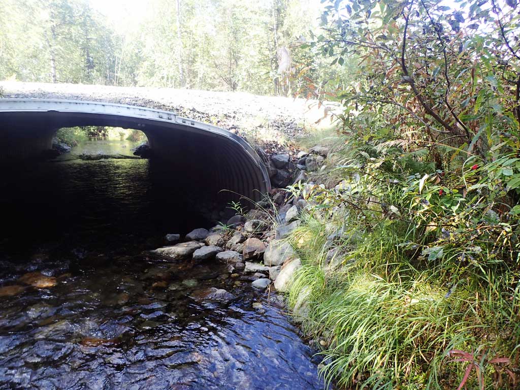
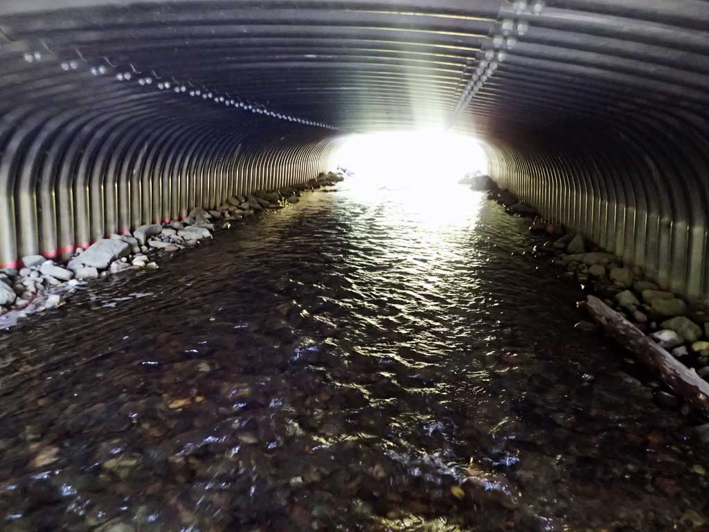
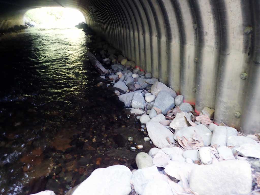
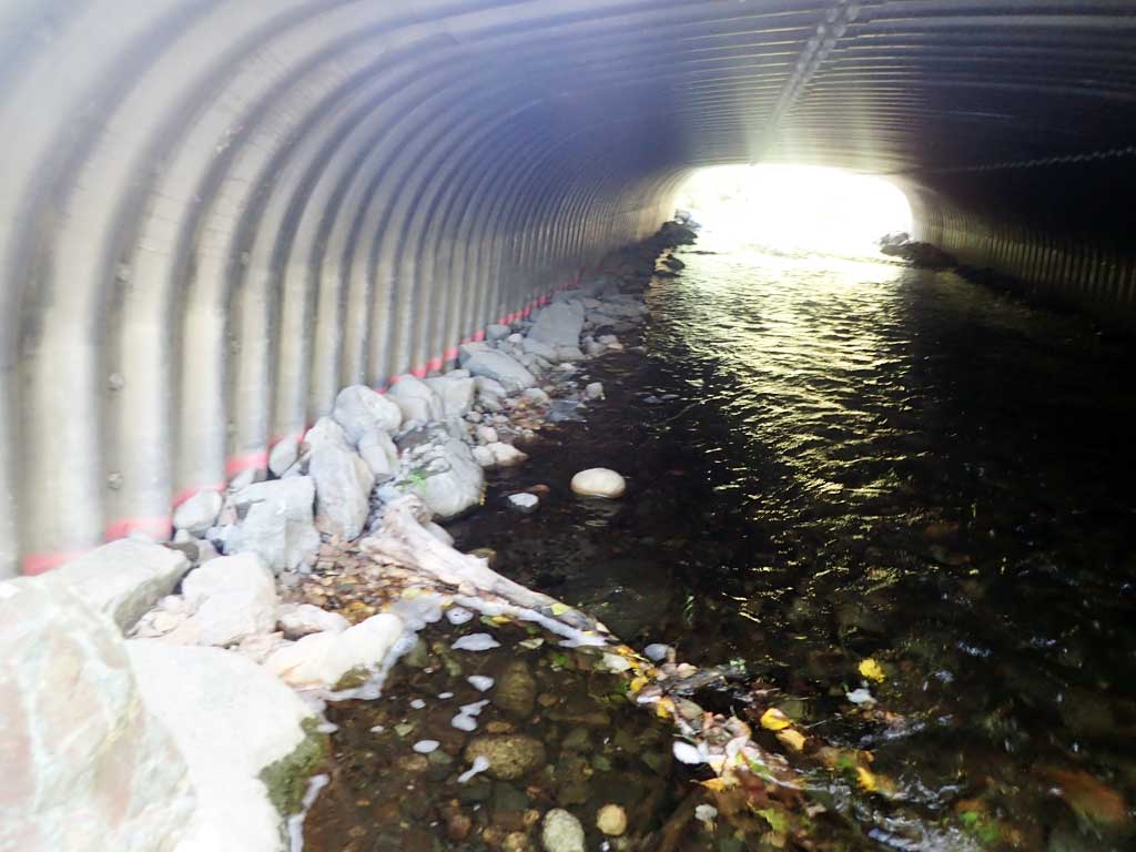
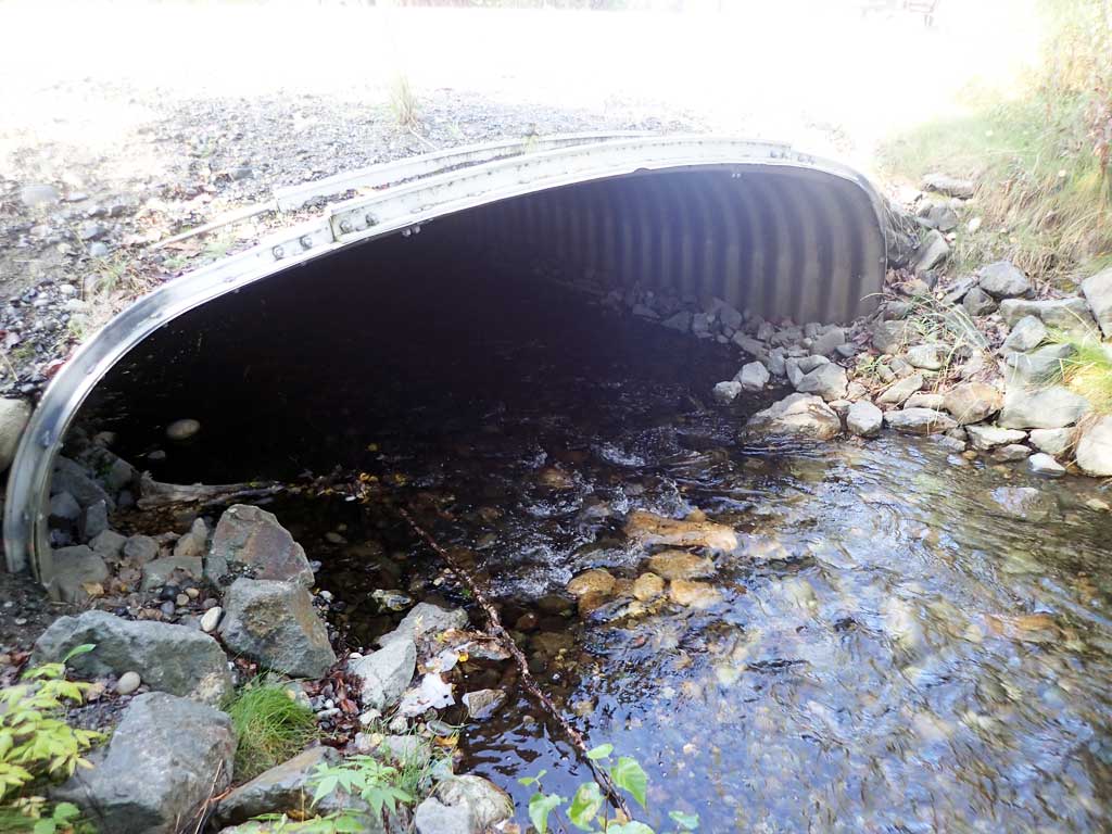
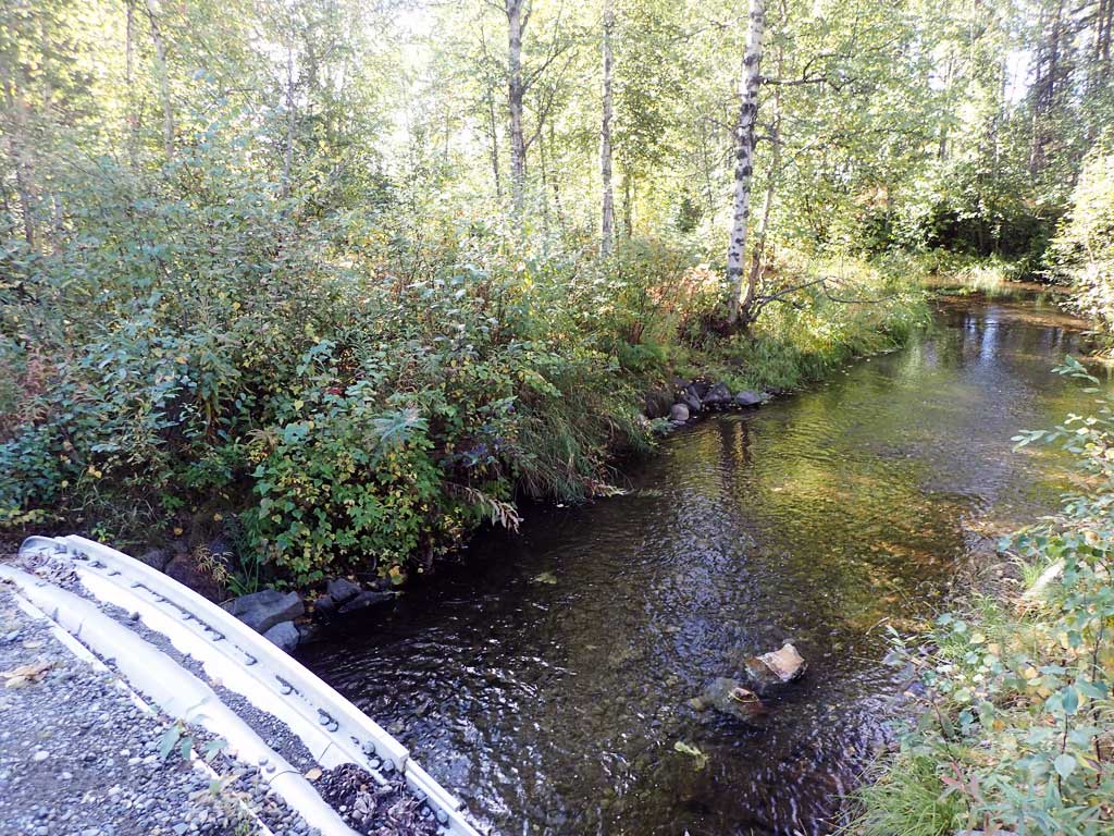
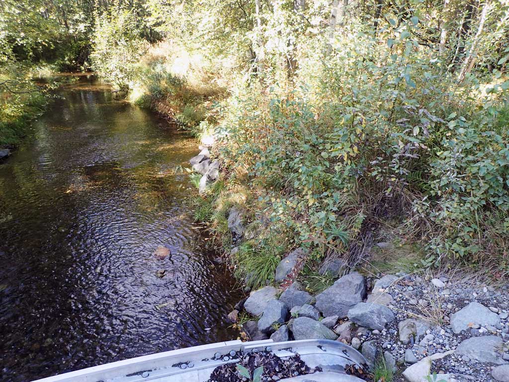
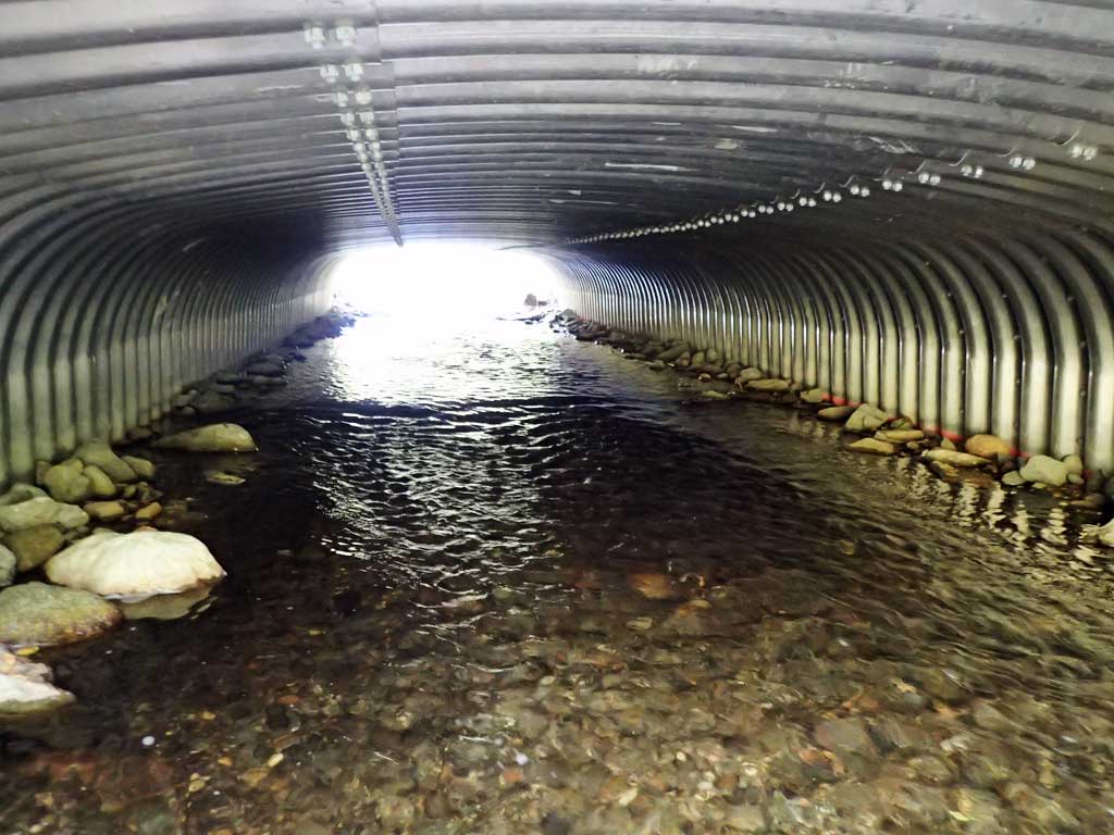
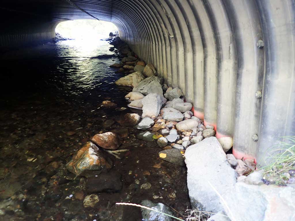
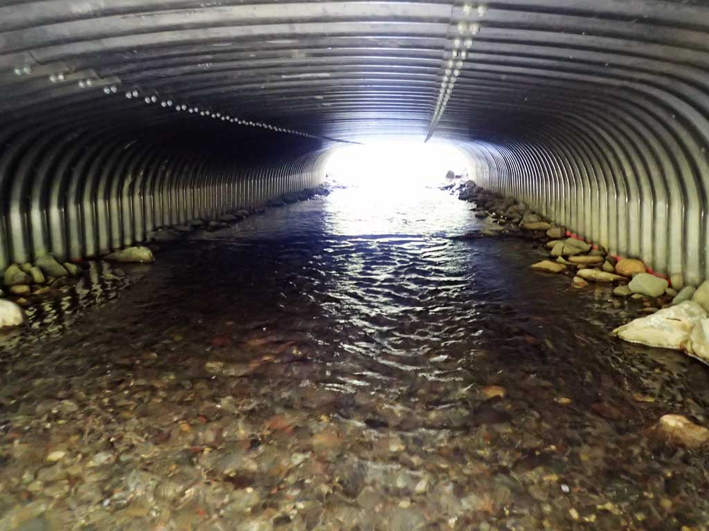
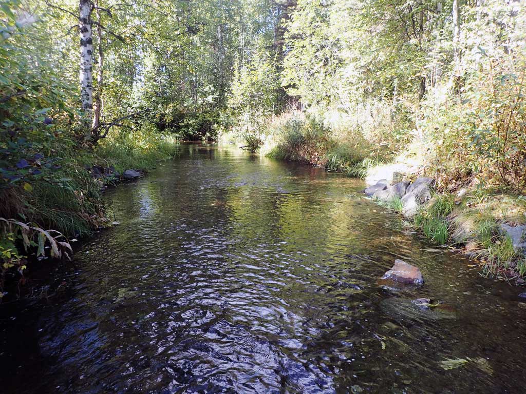
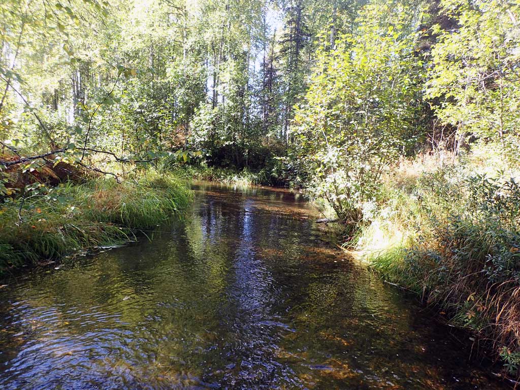
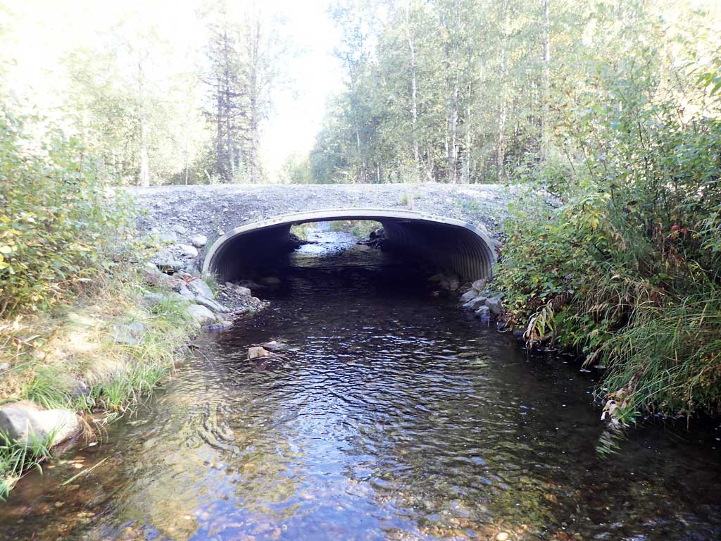
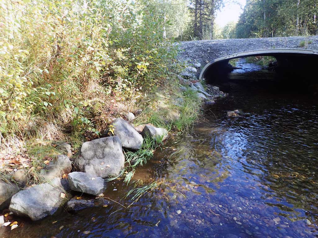
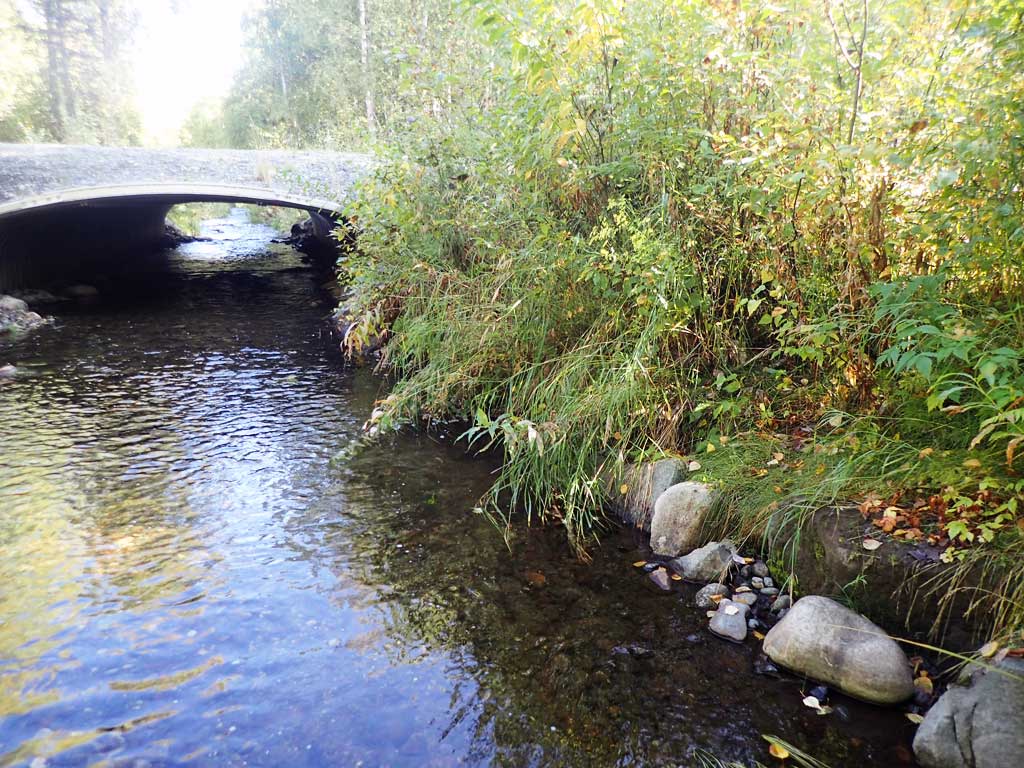
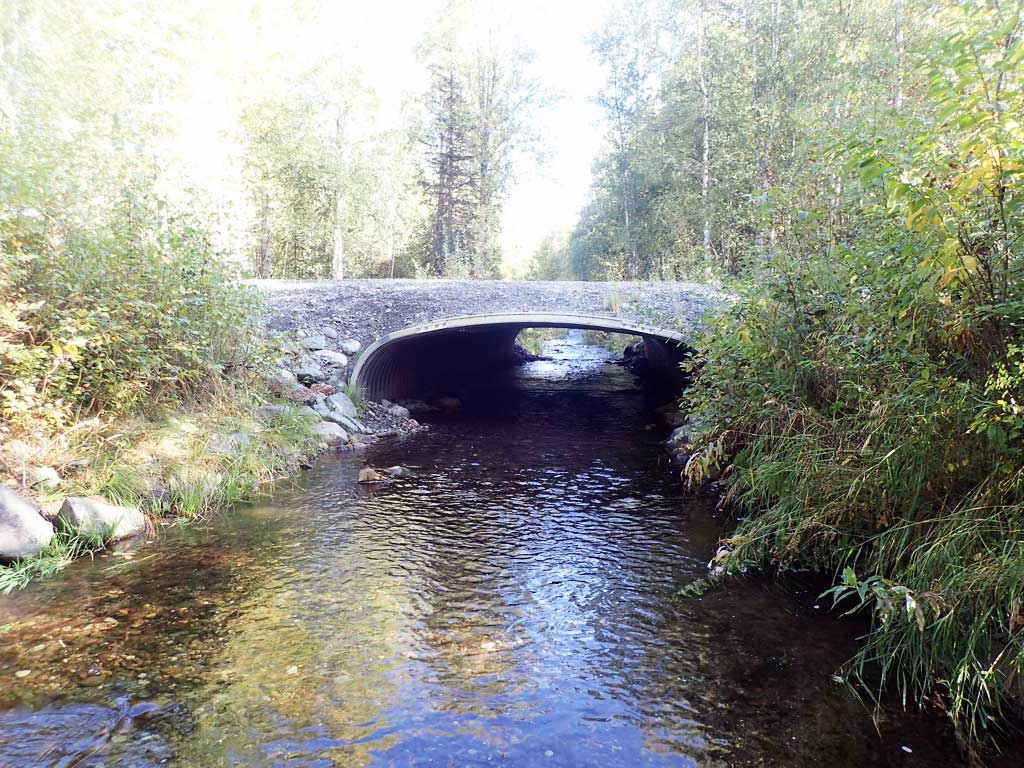
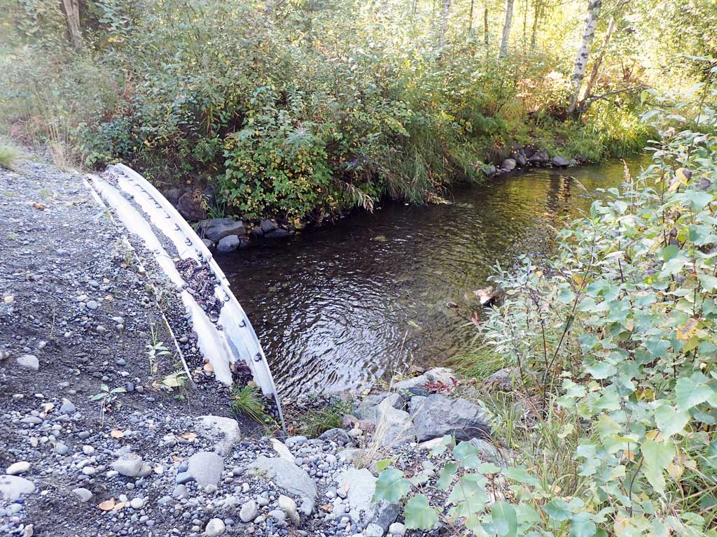
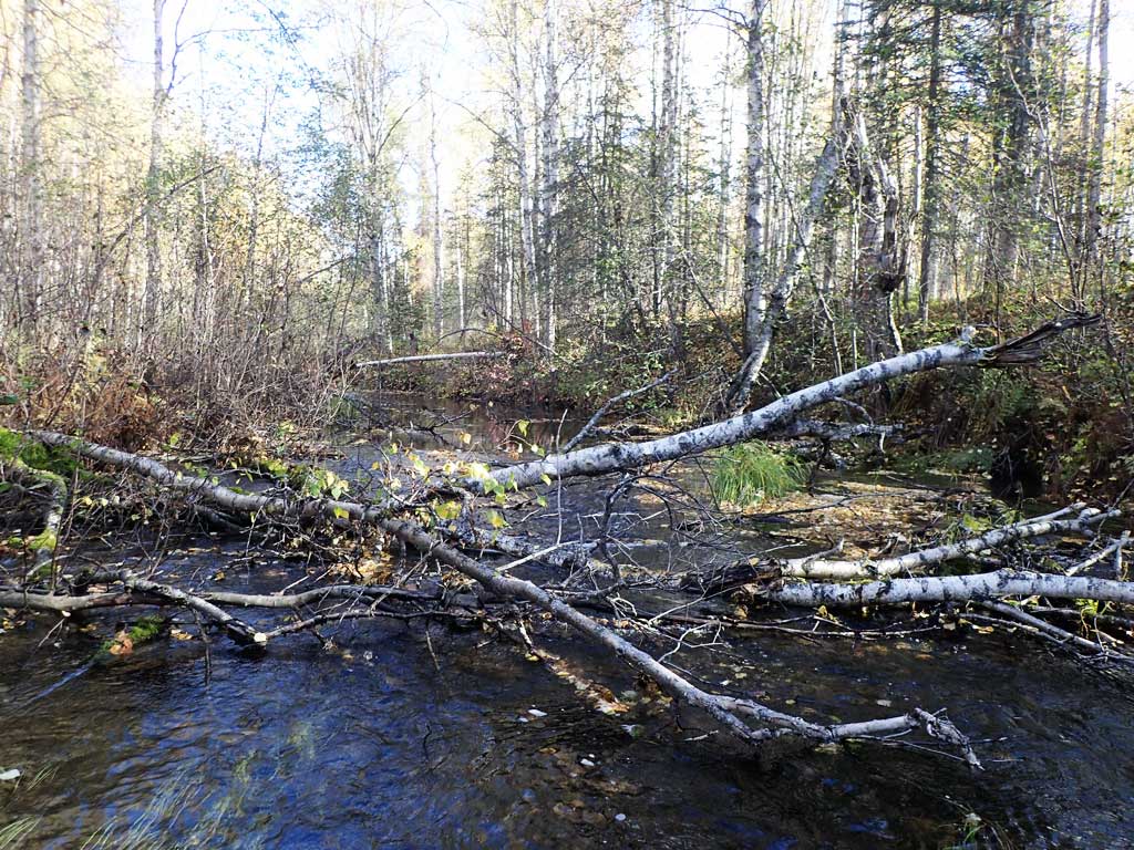
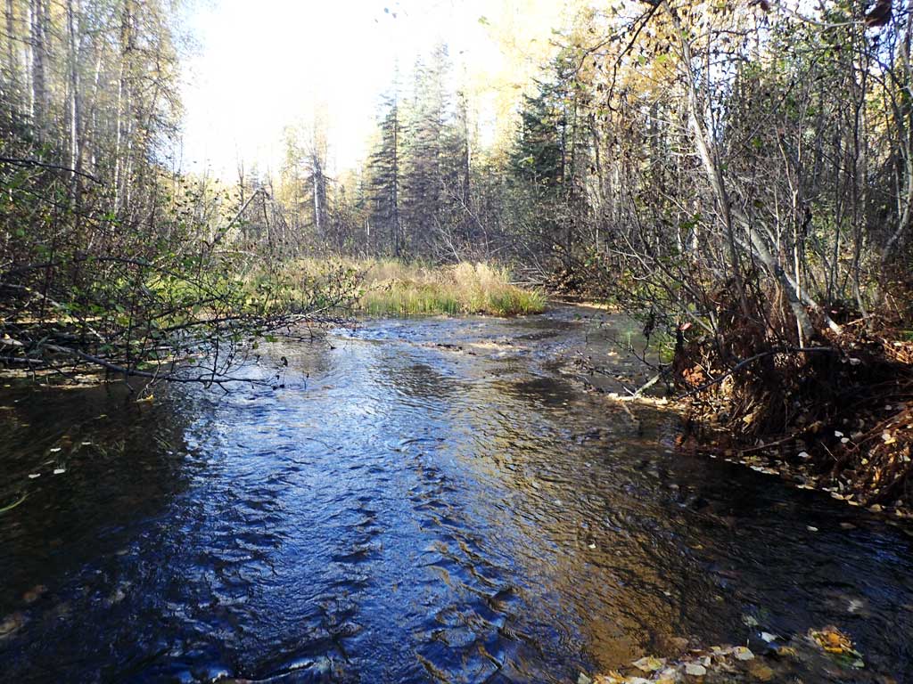
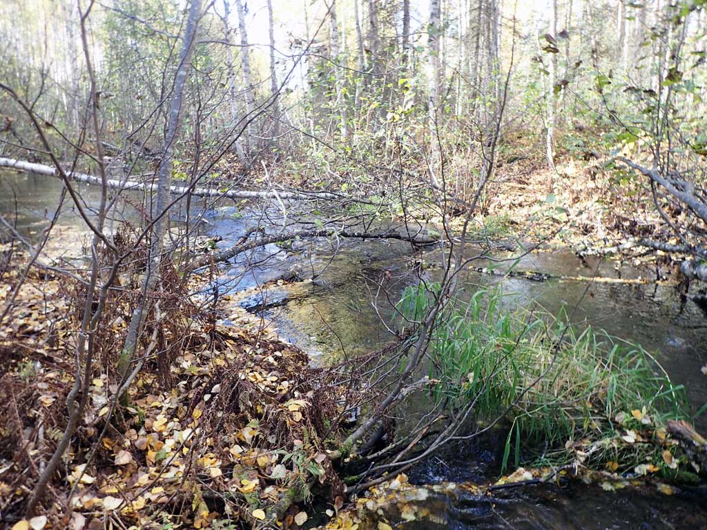
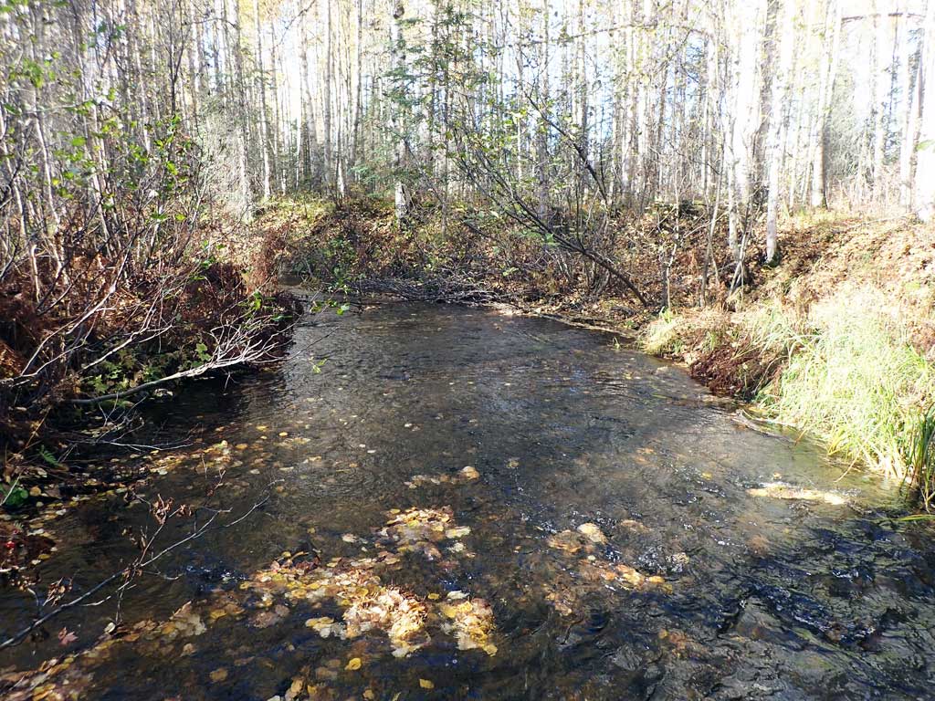
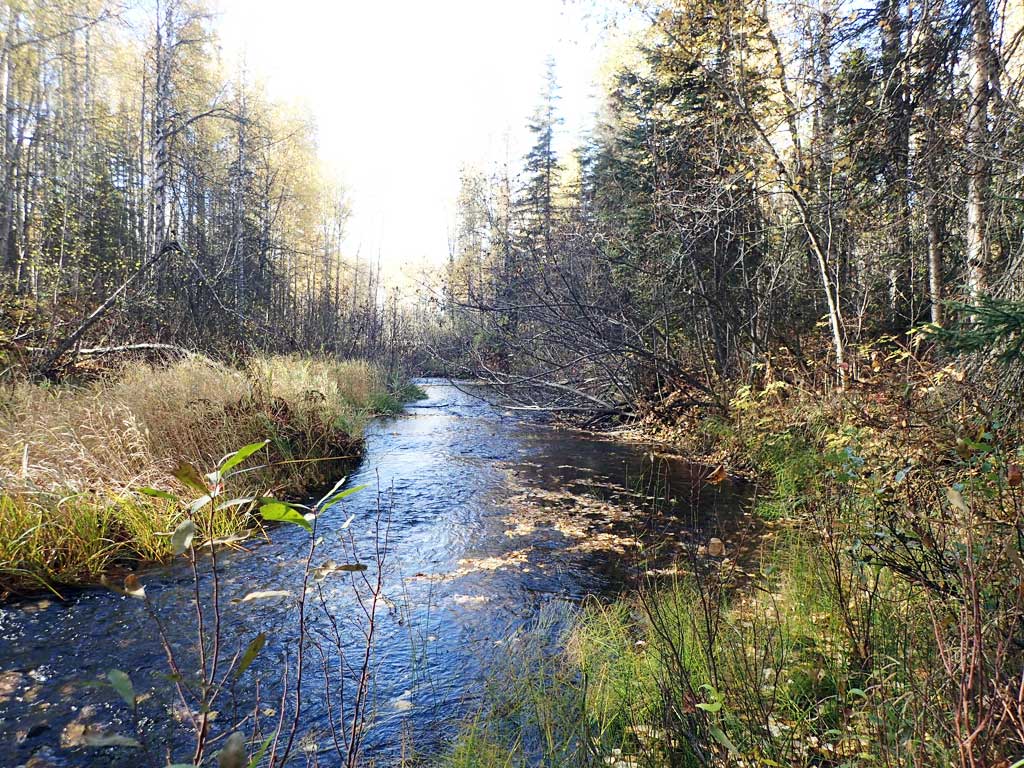
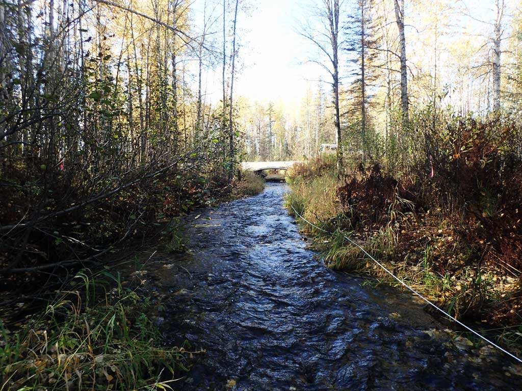
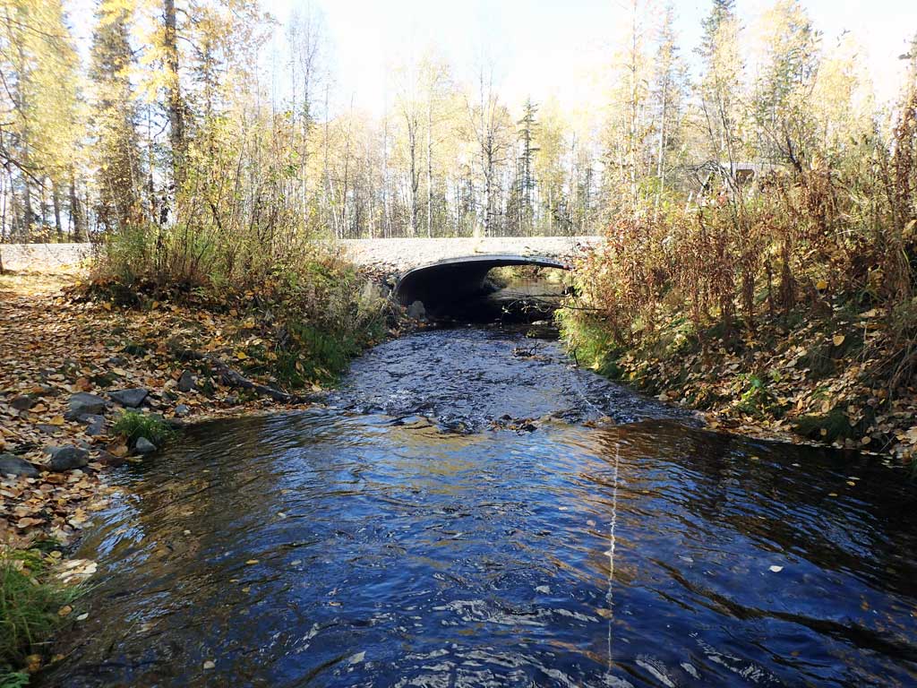
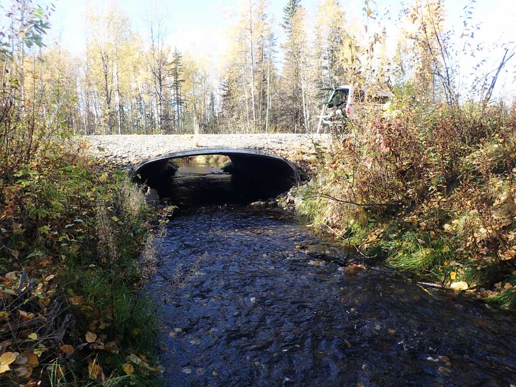
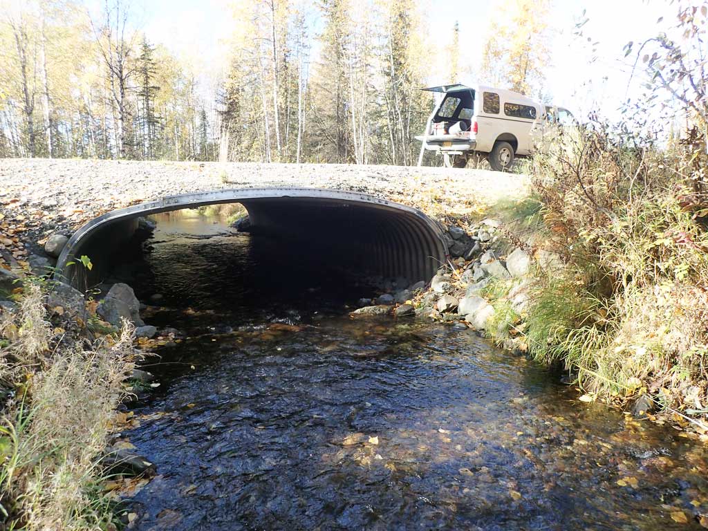
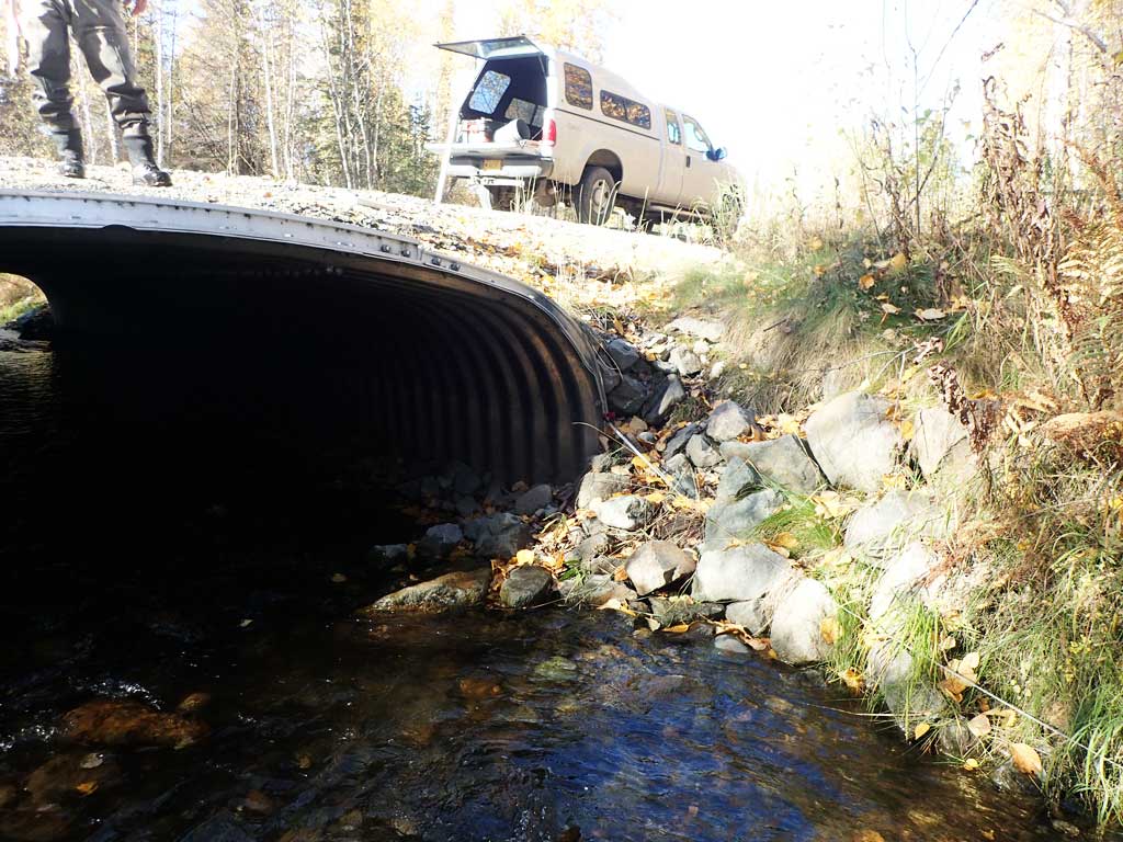
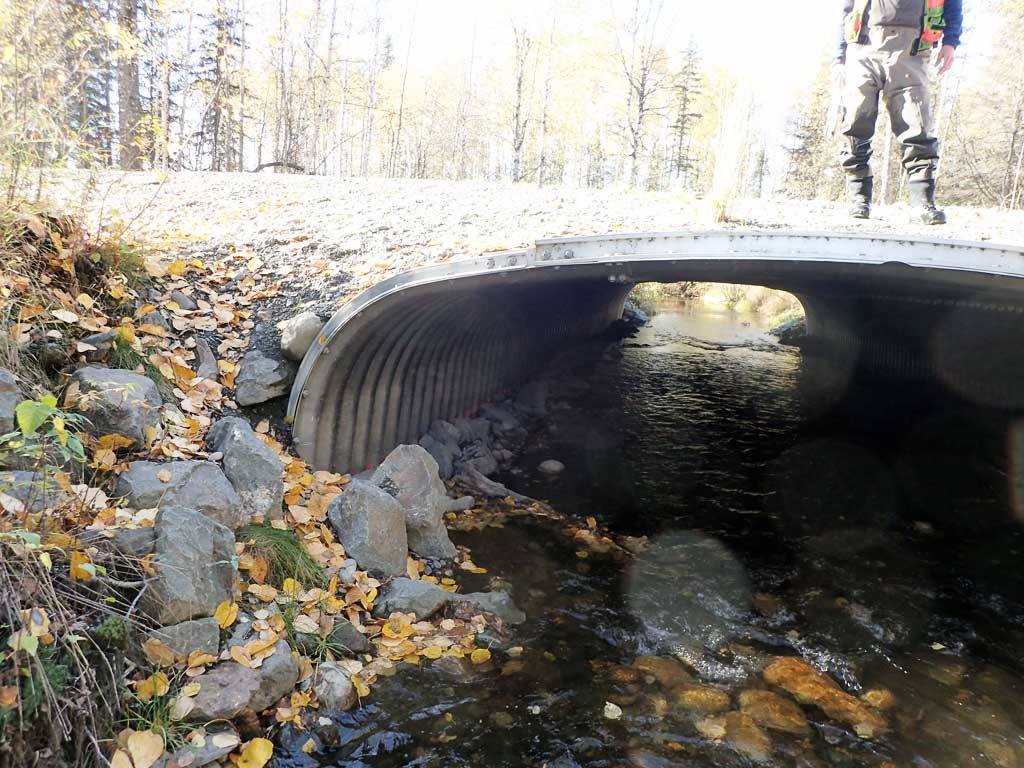
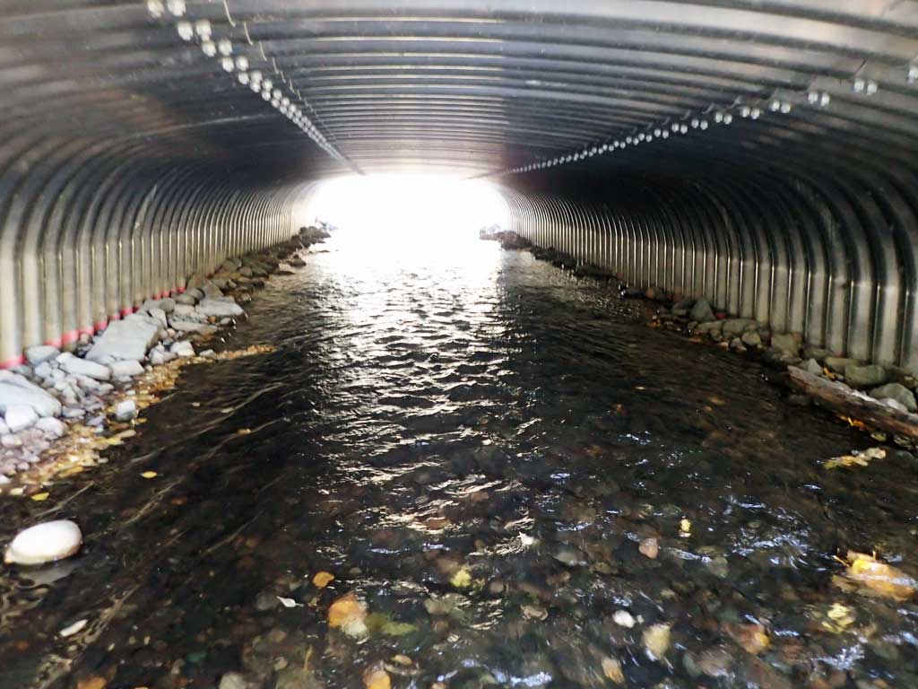
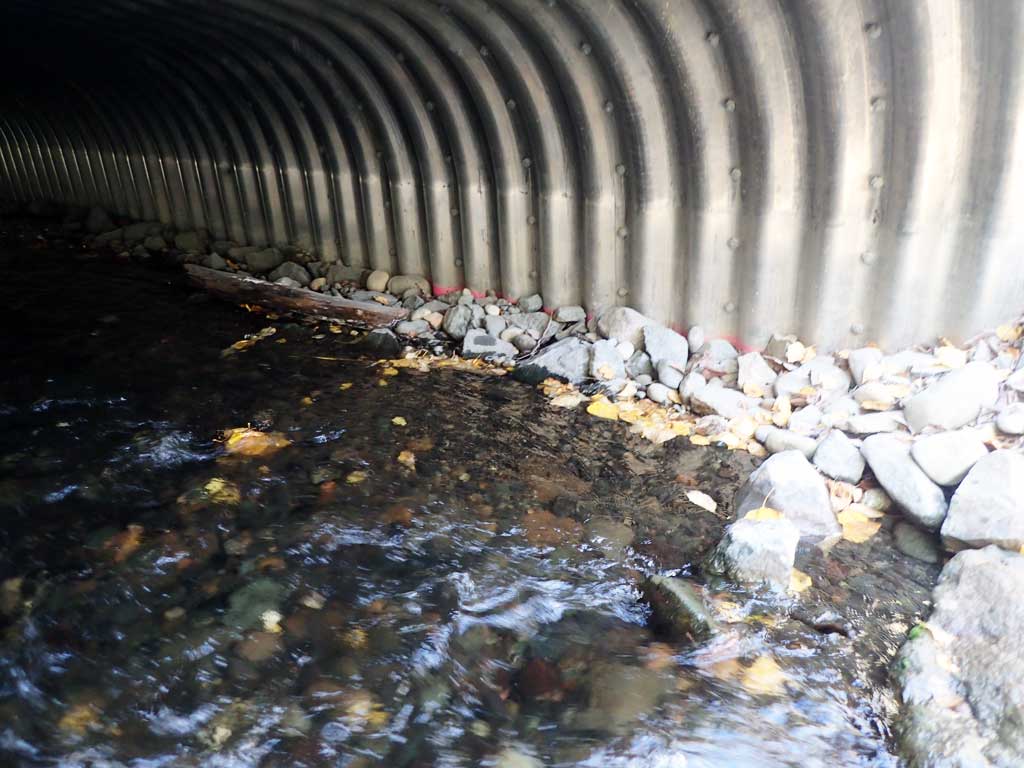
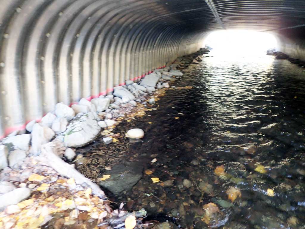
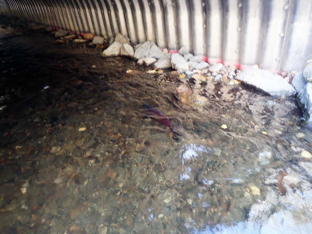
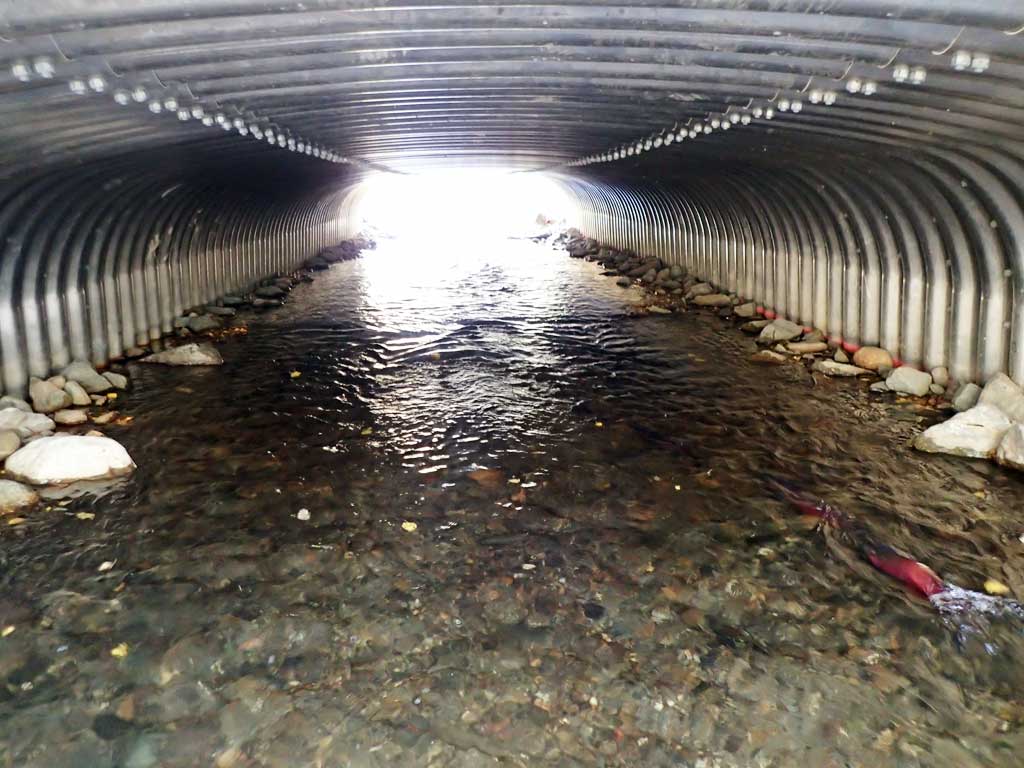
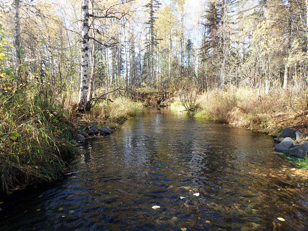
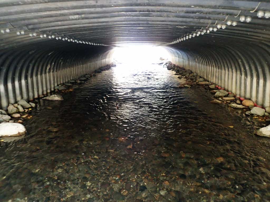
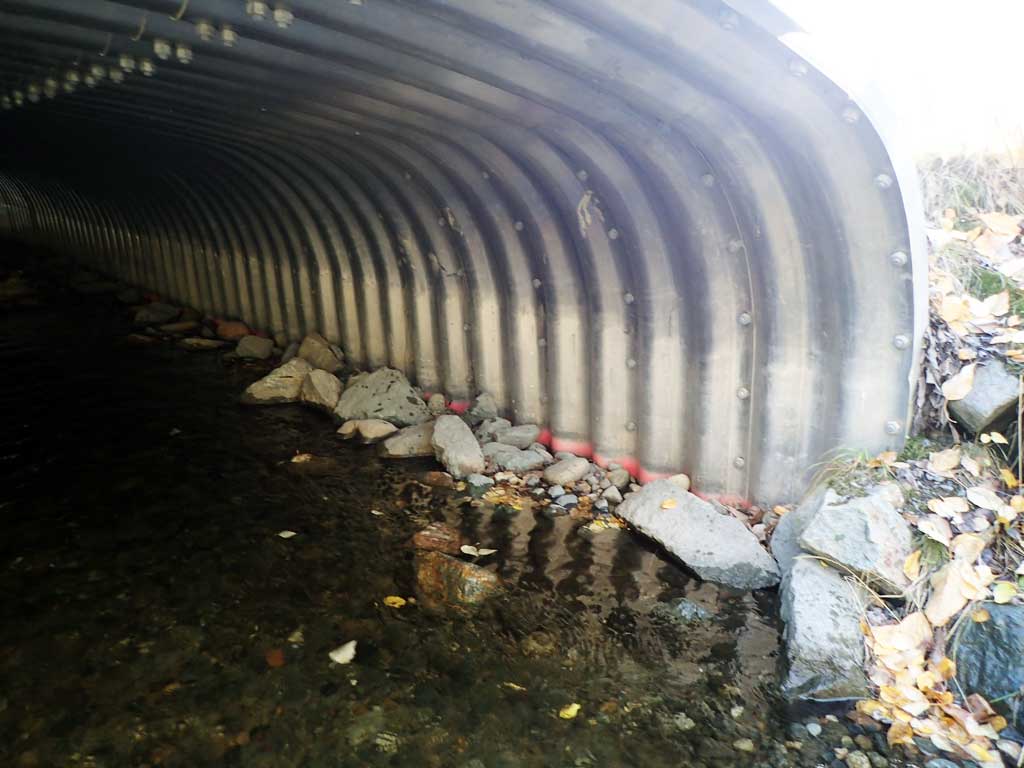
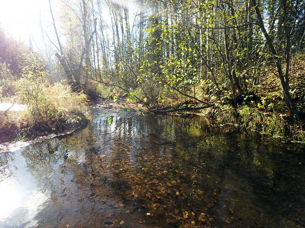
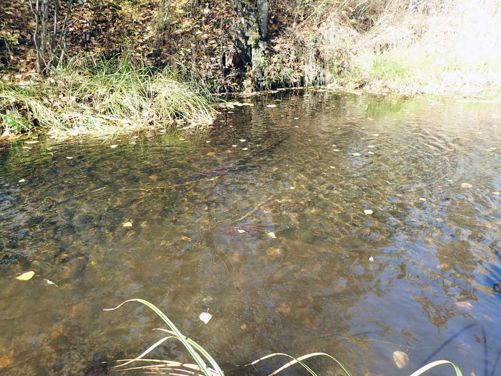
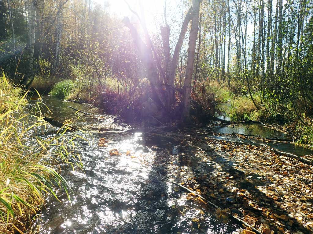
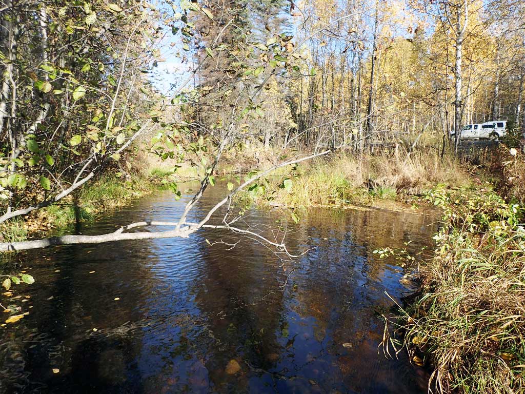
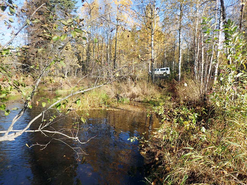
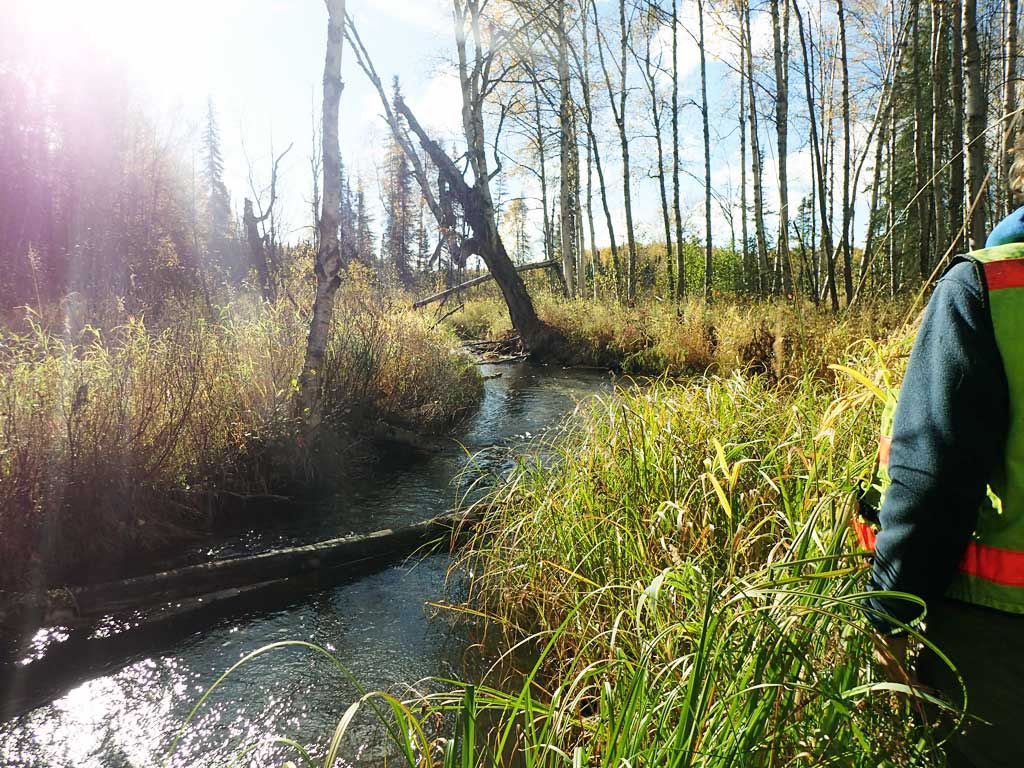
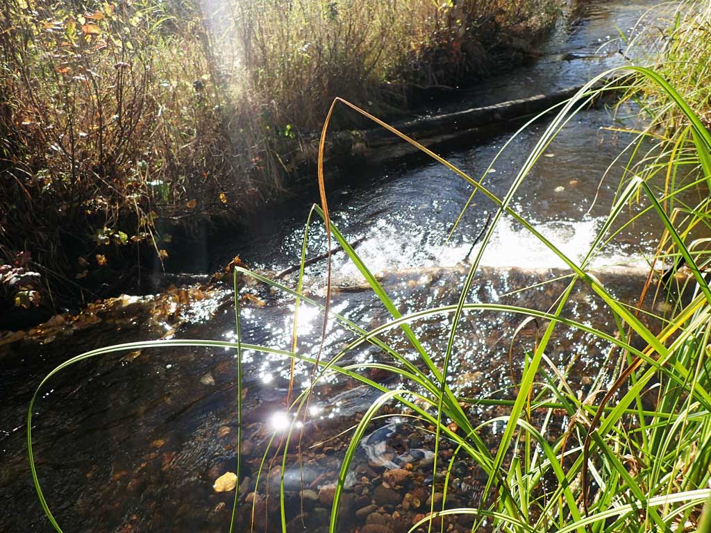
Comments: Replaced in 2014 with a fish friendly culvert. Culvert reassessed 9/25/18. Adult spawning Coho salmon observed upstream and downstream of crossing. Stream widens out about 360 feet upstream and then necks back down around 600 feet above crossing. Small rock weir upstream at old ATV crossing. Root wad and other bioengineering present upstream and downstream of crossing. Upstream gradient between 1.4 and 2.2%, downstream gradient under 1%.
Culvert Measurements
| ID: 1 | Structure Type: Box culvert (Structural aluminum plate) | Fish Passage Rating: | |||||||||||||||||||||||||||||||||||||||||
|
|
|
|||||||||||||||||||||||||||||||||||||||||
Culvert Observations:
|
|||||||||||||||||||||||||||||||||||||||||||
Stream Measurements
|
|
| Stream Width Type | Distance From Crossing (ft) |
Stream Width (ft) |
|---|---|---|
| Upstream ordinary high water | 107.0 | 14.50 |
| Upstream ordinary high water | 181.0 | 13.90 |
| Upstream ordinary high water | 600.0 | 17.00 |
Elevations
| Locator ID | Culvert Number |
River Distance (ft)1 |
Distance From Crossing (ft)2 |
Relative Elevation (ft) |
|---|---|---|---|---|
| Road Elev | 102.18 | |||
| D/S Water Surface Elev | 0.00 | 94.11 | ||
| D/S Grade Ctrl (Thalweg) | 0.00 | 93.74 | ||
| D/S Water Surface Elev | 12.00 | 94.16 | ||
| D/S Thalweg (Above riffle in middle of glide) | 12.00 | 92.98 | ||
| D/S Thalweg | 59.00 | 93.17 | ||
| D/S Water Surface Elev | 59.00 | 94.26 | ||
| D/S Water Surface Elev | 88.00 | 94.26 | ||
| D/S Tailcrest or 1st Thalweg | 88.00 | 93.69 | ||
| Outlet Pool Water Elev | 100.00 | 94.28 | ||
| Max Pool Depth | 100.00 | 93.14 | ||
| Outlet Invert (On substrate) | 114.00 | 93.46 | ||
| D/S Water Surface Elev | 114.00 | 94.34 | ||
| Outlet Culvert Top | 114.00 | 99.19 | ||
| Inlet Culvert Top | 174.30 | 99.62 | ||
| Inlet Culvert Invert (On substrate) | 174.30 | 93.89 | ||
| U/S Water Surface Elev | 174.30 | 94.65 | ||
| U/S Water Surface Elev | 210.30 | 95.30 | ||
| U/S Grade Ctrl (Thalweg) (Rock wier at head of old ATV trail crossing) | 210.30 | 94.64 | ||
| U/S Water Surface Elev | 225.30 | 95.36 | ||
| U/S Thalweg (Max pool depth US of Rock wier) | 225.30 | 94.34 | ||
| U/S Grade Ctrl (Thalweg) (Stream gradient begin) | 318.30 | 96.55 | ||
| U/S Water Surface Elev | 318.30 | 96.96 | ||
| U/S Water Surface Elev | 330.30 | 97.10 | ||
| U/S Thalweg (max pool depth) | 330.30 | 96.14 | ||
| U/S Grade Ctrl (Thalweg) | 399.30 | 98.14 | ||
| U/S Water Surface Elev | 399.30 | 98.40 | ||
| U/S Water Surface Elev | 412.30 | 98.50 | ||
| U/S Thalweg (max pool depth) | 412.30 | 97.44 | ||
| U/S Grade Ctrl (Thalweg) (Stream gradient end) | 508.30 | 99.27 | ||
| U/S Water Surface Elev | 508.30 | 99.57 |
Notes:
- River distance is measured continuously throughout the survey reach along the thalweg of the stream.
- Measured from each end of the crossing along the thalweg of the stream.
Fish Sampling Efforts
| Gear Type: Visual Observation, Ground (A) | ||
| Comments: Adult spawning coho salmon observed upstream and downstream | ||
Fish Observations
| Species: adult spawning coho salmon | Life History: Anadromous | ||
| Total Fish Observed: 20 | Fish Measured: | Fork Lengths (mm) Min: Max: Mean: | |
| Collected/Observed by Gear Type: At Site Visual Observation, Ground (20) | |||
Photos


Questions or comments about this report can be directed to dfg.dsf.webmaster@alaska.gov