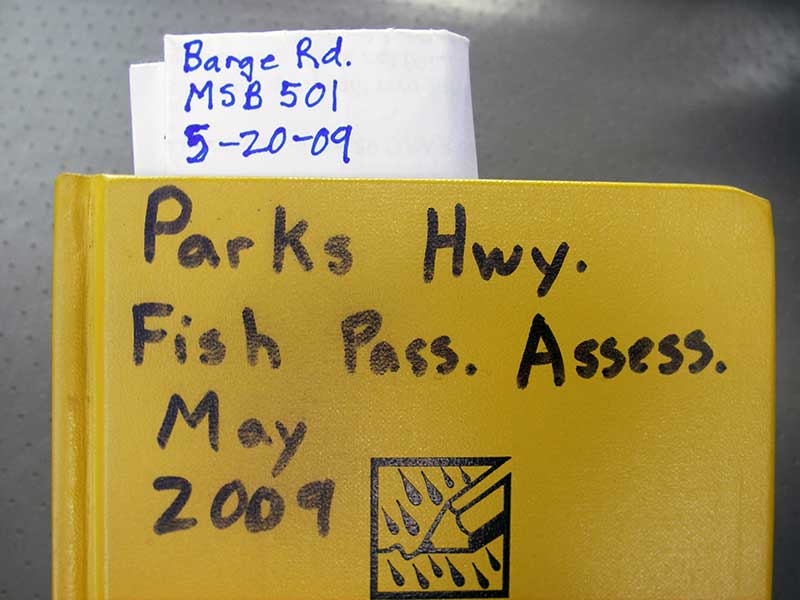
Fish Passage Site 20501460
Coordinates (dec. deg.): 62.22772°, -150.05173°
Legal Description: S025N004W29
Region: South Central
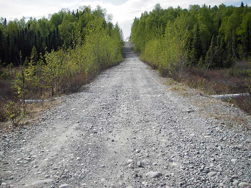
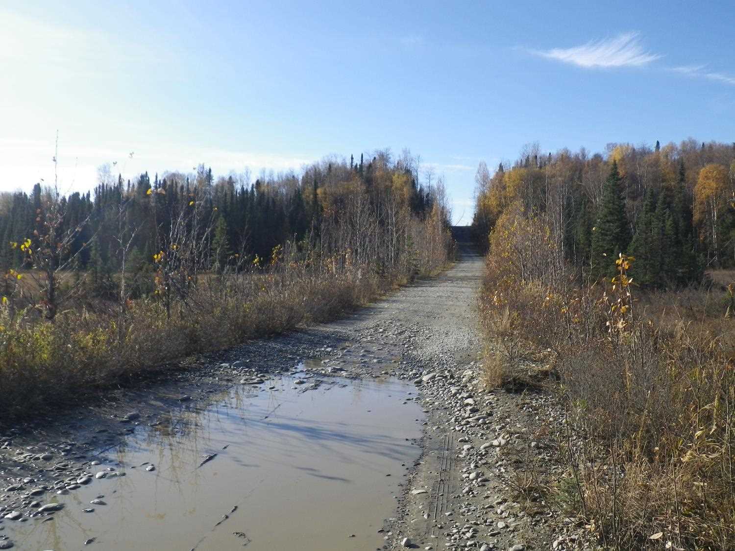
Road Name: Barge Road
Datum: WGS84
Quad Name / ITM: Talkeetna A-1
AWC Stream #:
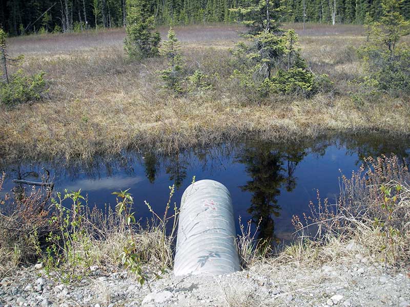
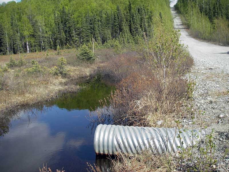
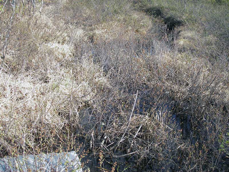
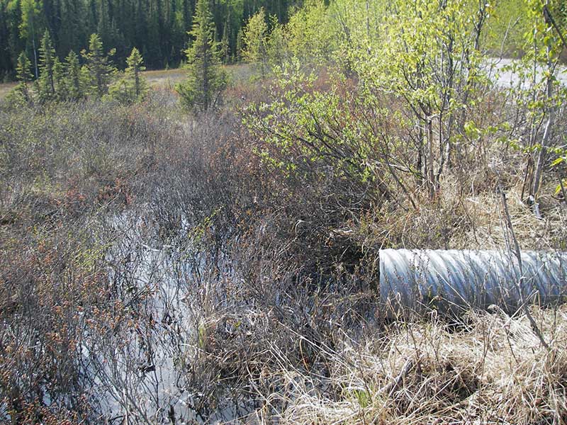
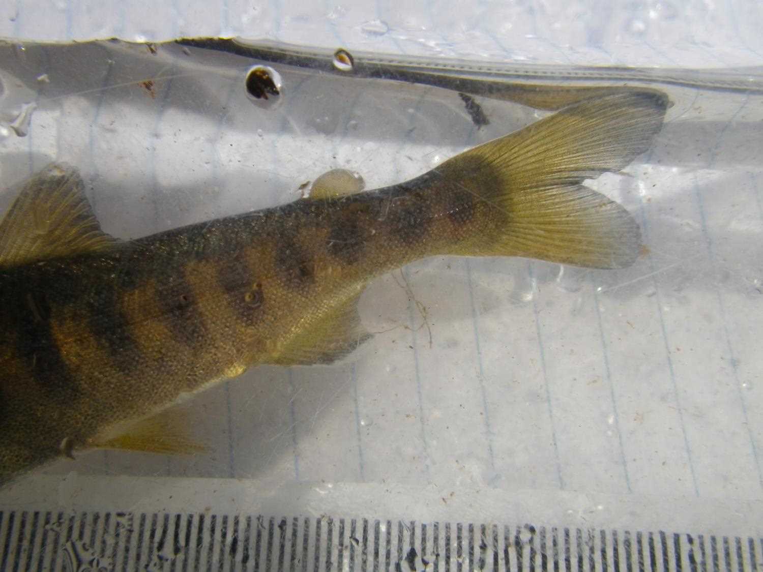
Stream Name: Question Creek
Elevation:
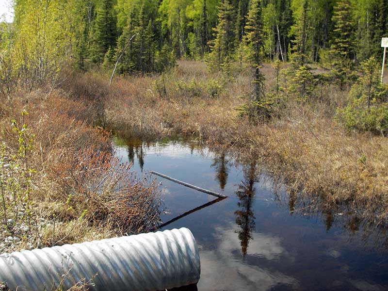
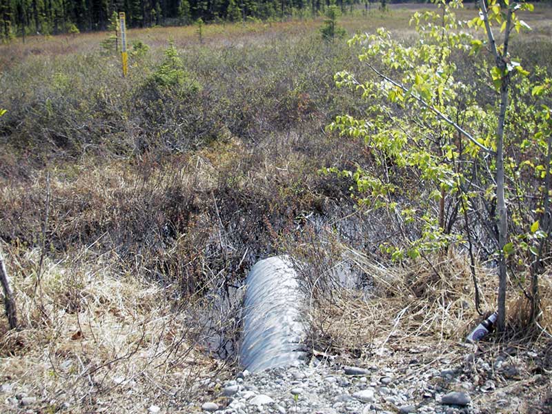
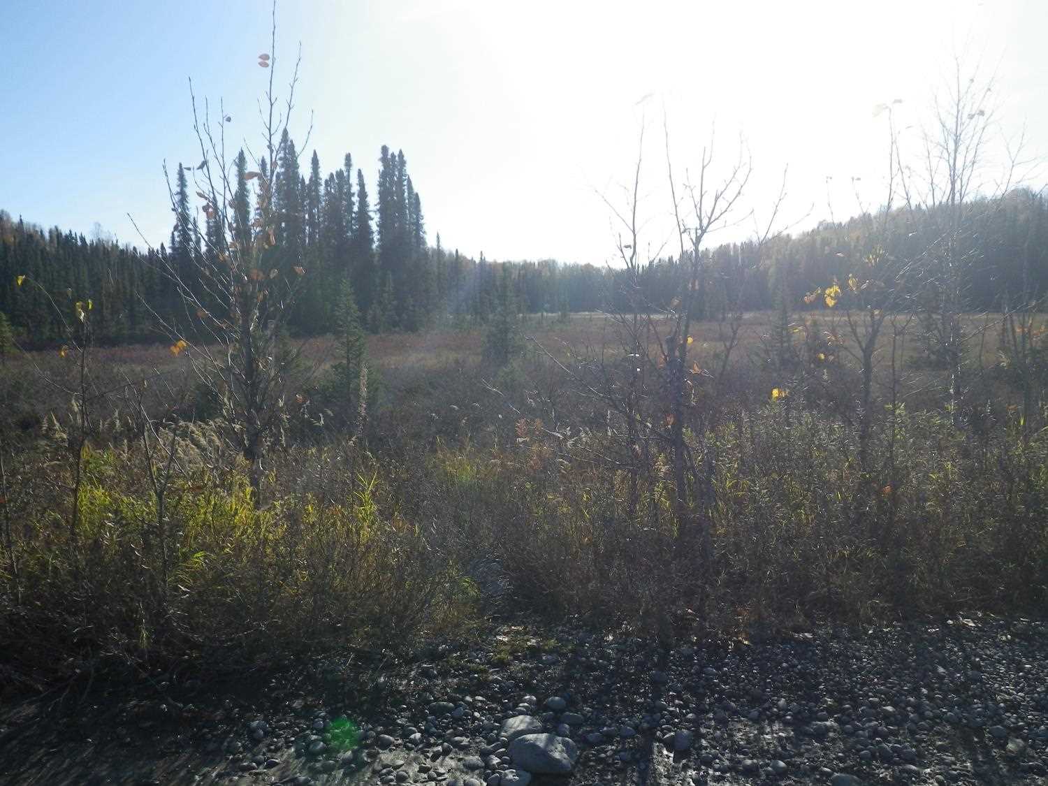
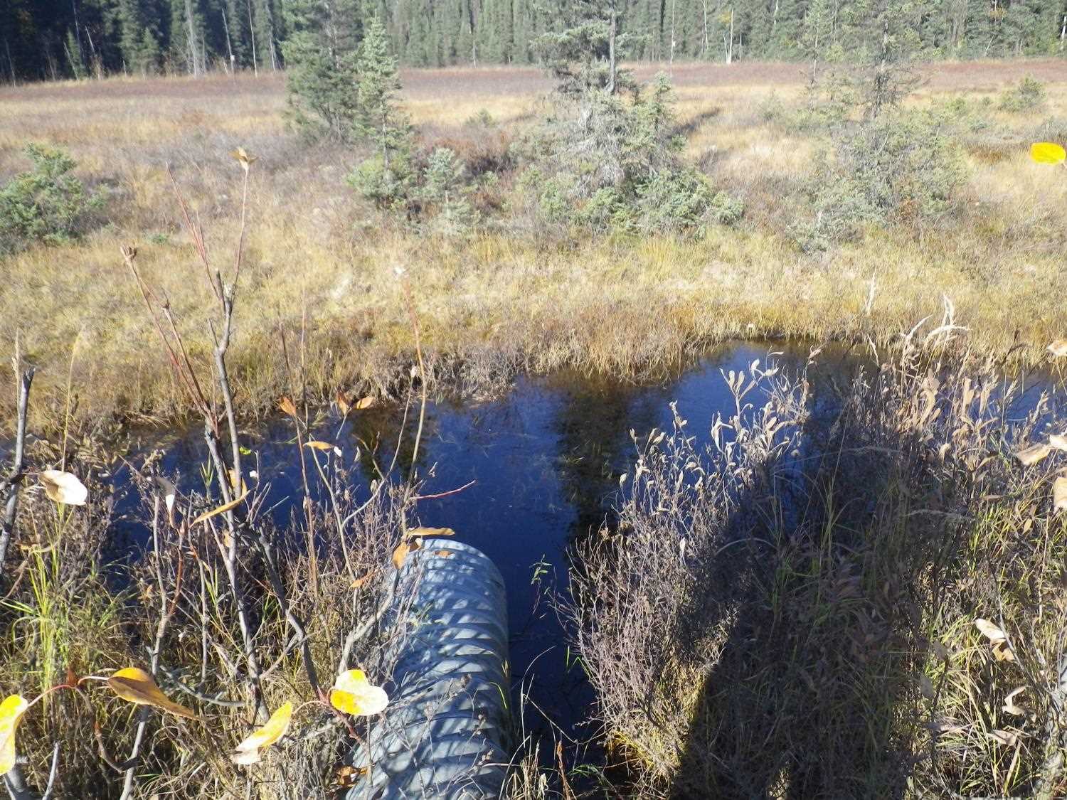
Site Comments: U/s and d/s are wetland.
Survey PRK09-BRG01
Project Supervisor: Gillian O'Doherty, ADFG
Observers: Heidi Zimmer, Ben Histand
Overall Fish Passage Rating:
Tidal: No
Backwatered: No
Step Pools:
Construction Year:
Site Observations:
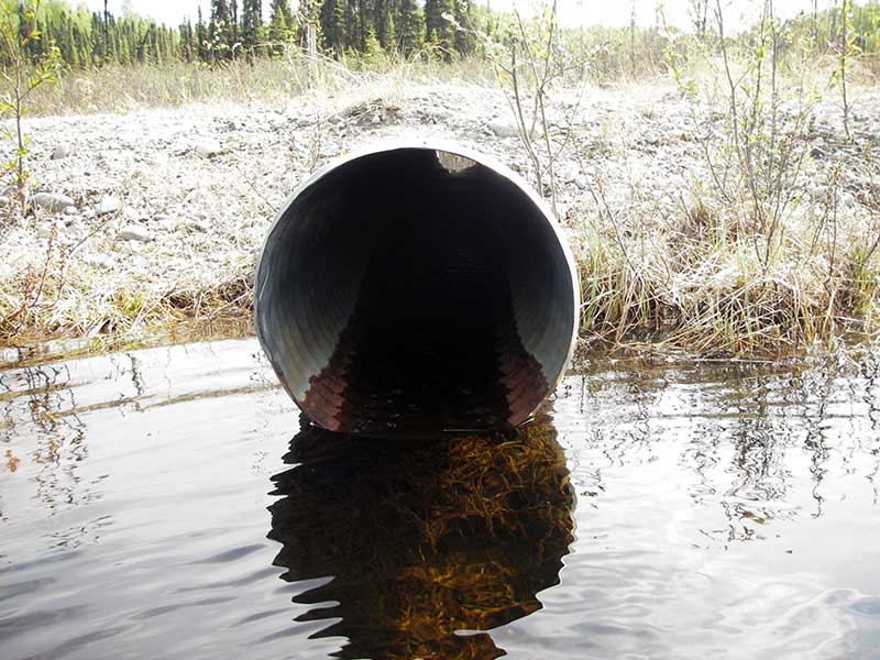
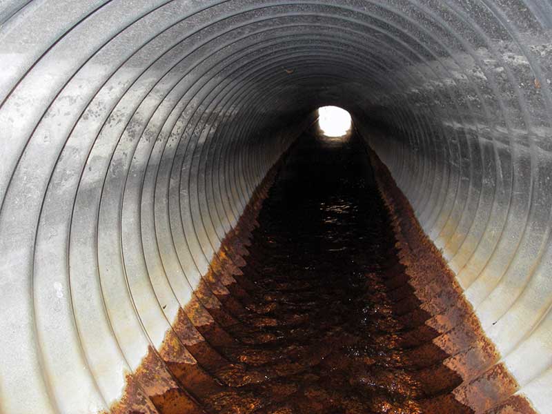
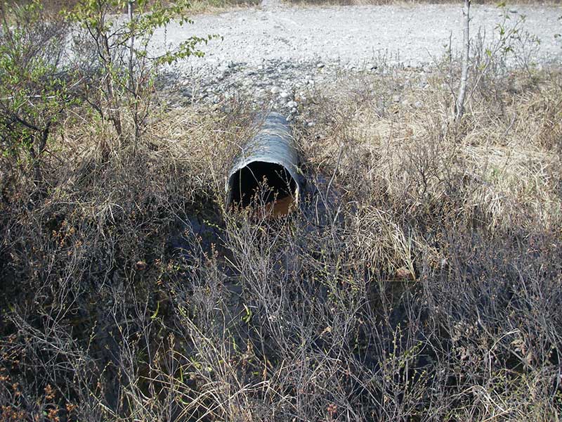
- Culvert gradient red
- Shallow fill; inadequate roadfill volume above culvert
- Culvert is poorly aligned
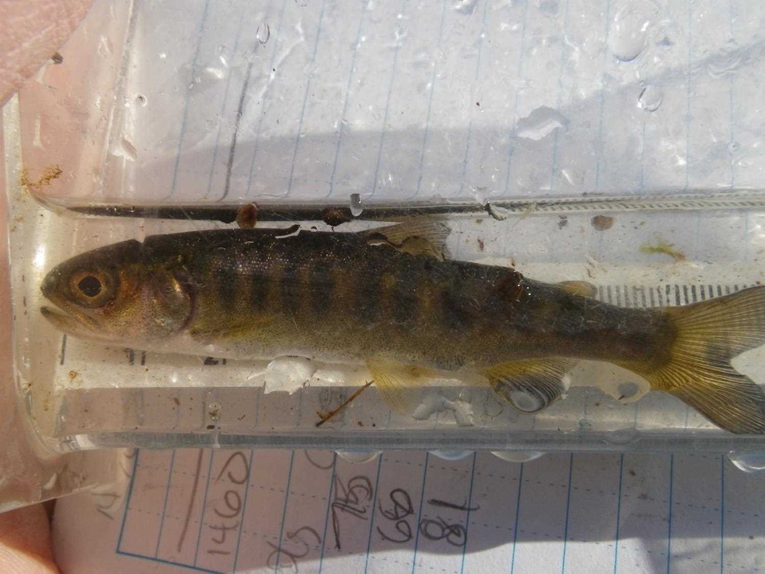
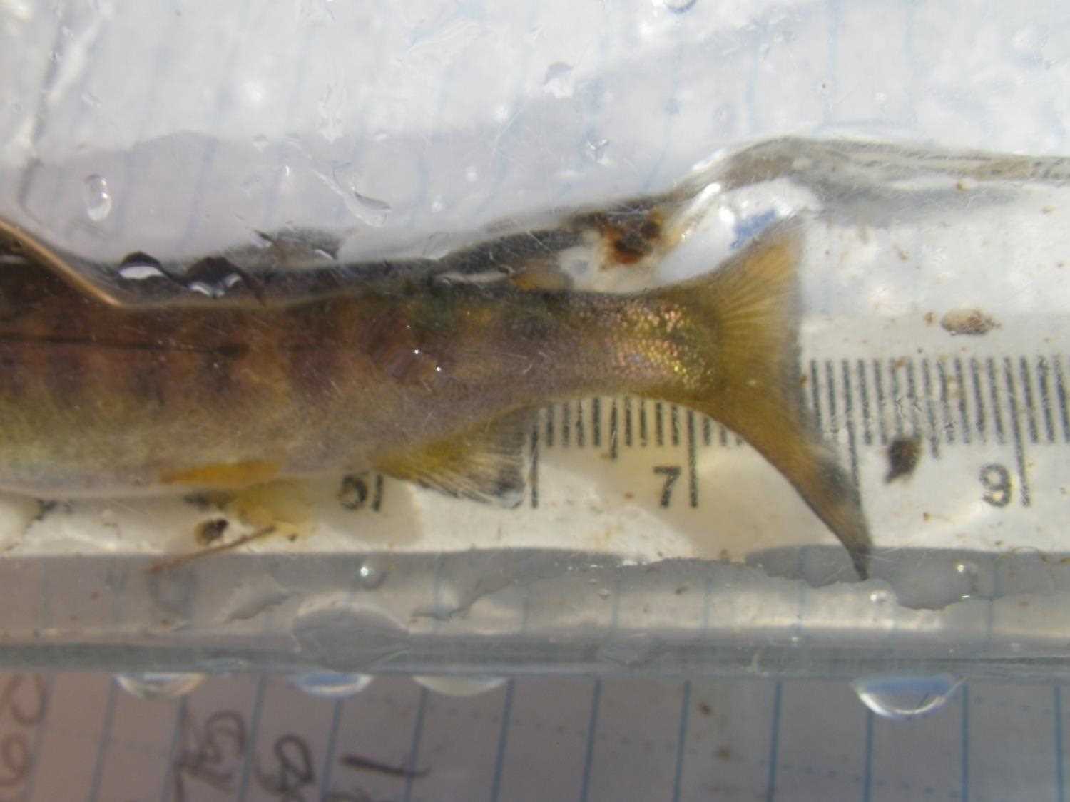
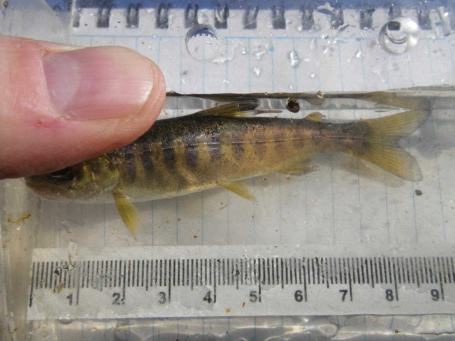
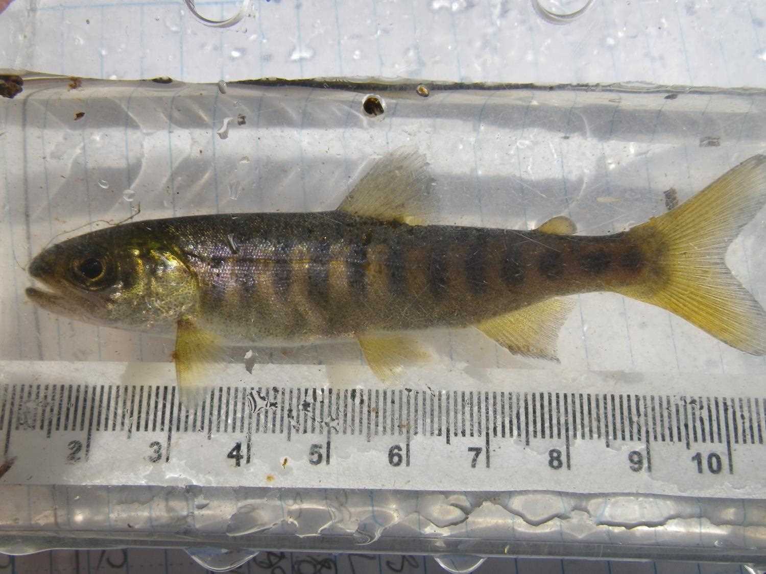
Comments: No CR because u/s and d/s are wetland. Possible depth barrier at low flow. **Updated site photos and fish capture information added from 9/30/16 site visit from Sampling Unmapped Streams in the MSB.
Culvert Measurements
| ID: 1 | Structure Type: Circular pipe (Corrugated steel) | Fish Passage Rating: | |||||||||||||||||||||||||||||||||||||||||
|
|
|
|||||||||||||||||||||||||||||||||||||||||
Culvert Observations:
|
|||||||||||||||||||||||||||||||||||||||||||
Stream Measurements
|
|
No stream width data available.
Elevations
| Locator ID | Culvert Number |
River Distance (ft)1 |
Distance From Crossing (ft)2 |
Relative Elevation (ft) |
|---|---|---|---|---|
| Outlet Pool Water Elev | 1 | 98.66 | ||
| U/S Headwater | 1 | 98.87 | ||
| D/S Water Surface Elev (downstream) | 1 | 0.00 | 54.0 | 98.64 |
| D/S Thalweg | 1 | 49.00 | 5.0 | 96.64 |
| D/S Thalweg (stream bottom at end of pipe) | 1 | 54.00 | 0.0 | 97.65 |
| Outlet Invert | 1 | 54.00 | 0.0 | 98.21 |
| Road Elev | 1 | 69.50 | 100.09 | |
| Inlet Culvert Invert | 1 | 85.00 | 0.0 | 98.73 |
| U/S Thalweg (stream bed at end of pipe) | 1 | 85.00 | 0.0 | 97.54 |
| U/S Thalweg (bottom of inlet pool) | 1 | 91.50 | 6.5 | 95.44 |
| U/S Thalweg (Tailcrest) | 1 | 100.00 | 15.0 | 96.35 |
Notes:
- River distance is measured continuously throughout the survey reach along the thalweg of the stream.
- Measured from each end of the crossing along the thalweg of the stream.
Fish Sampling Efforts
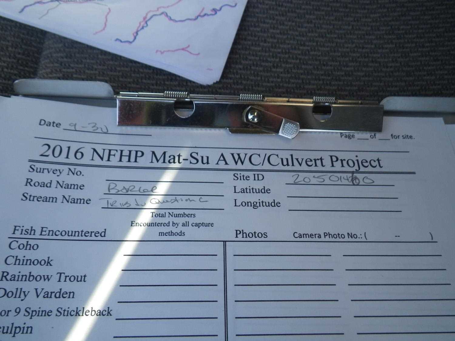
No fish sampling occurred during this survey.
Fish Observations
No fish observations occurred during this survey.
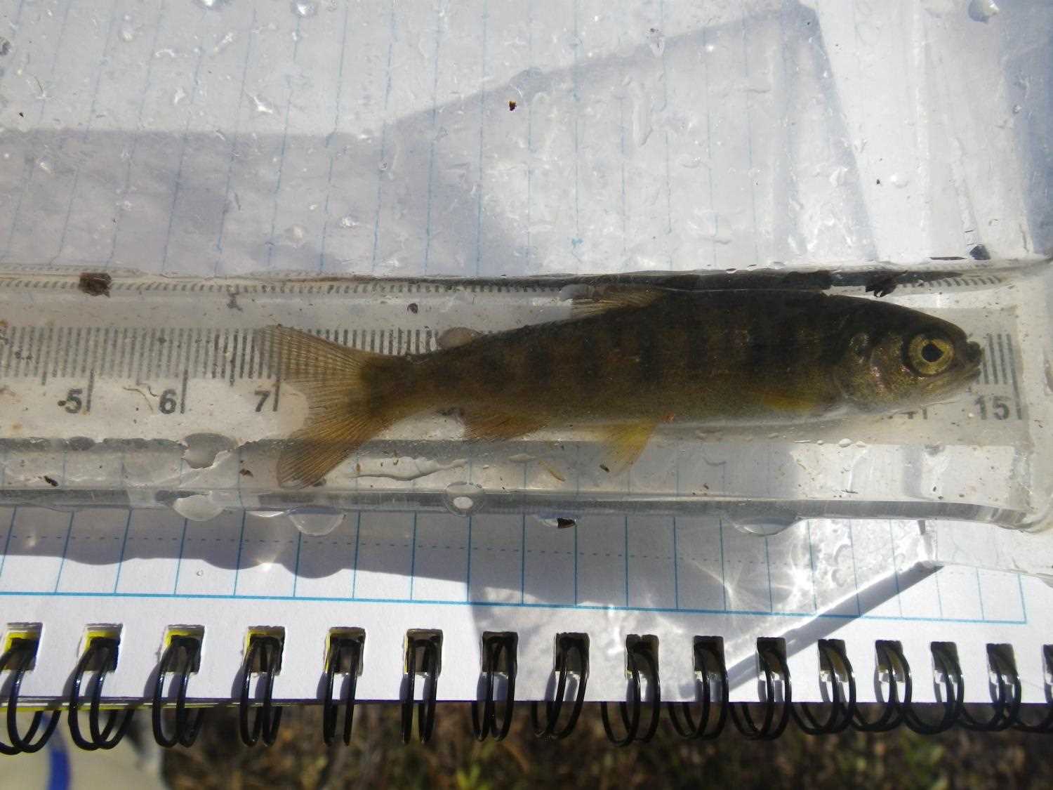
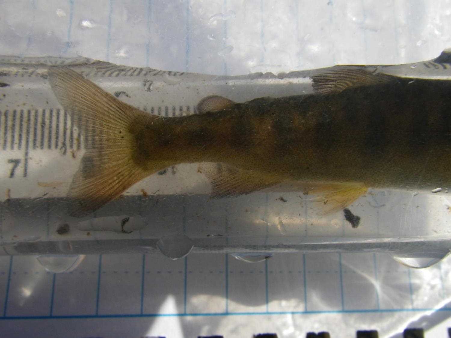
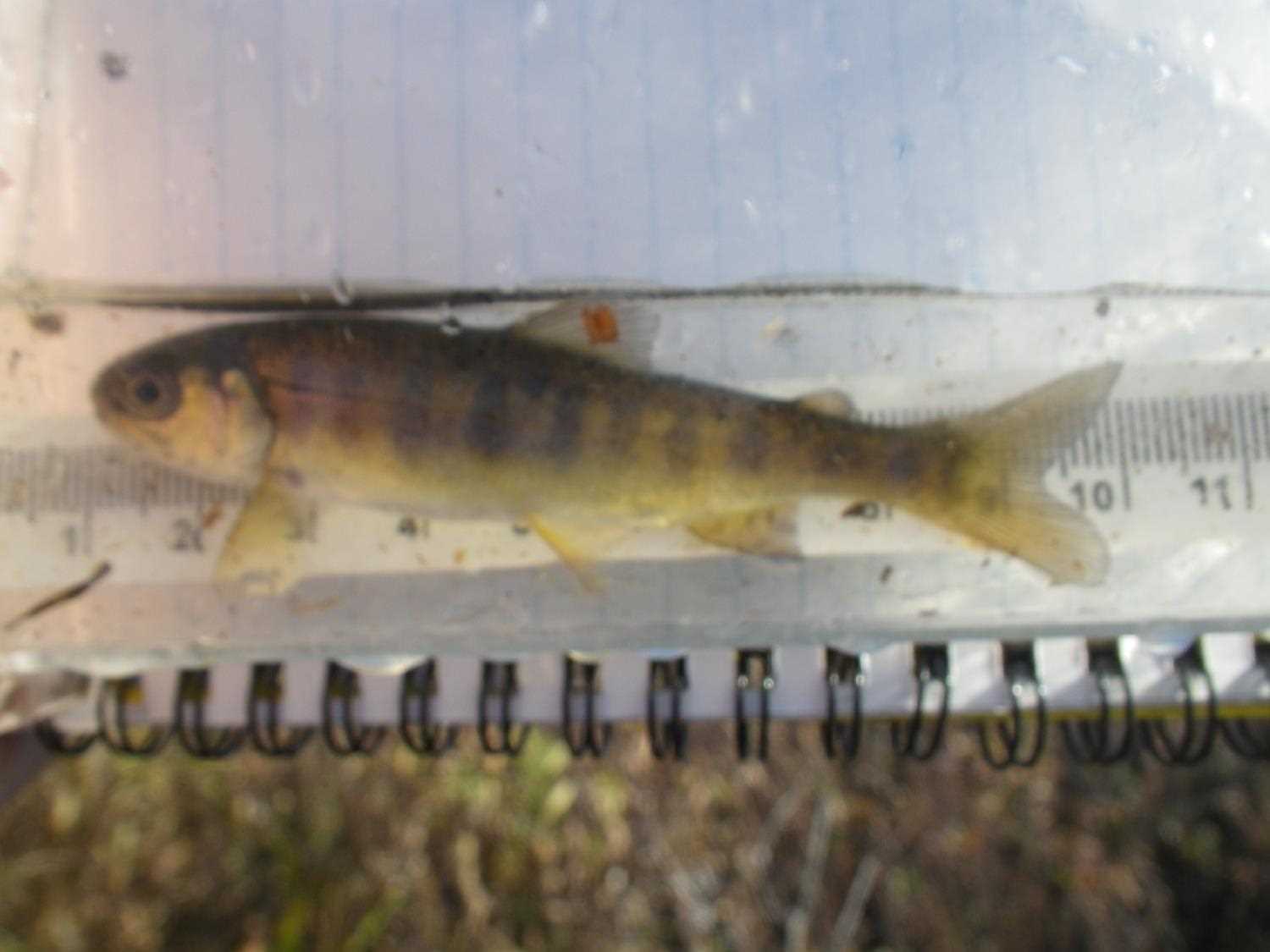
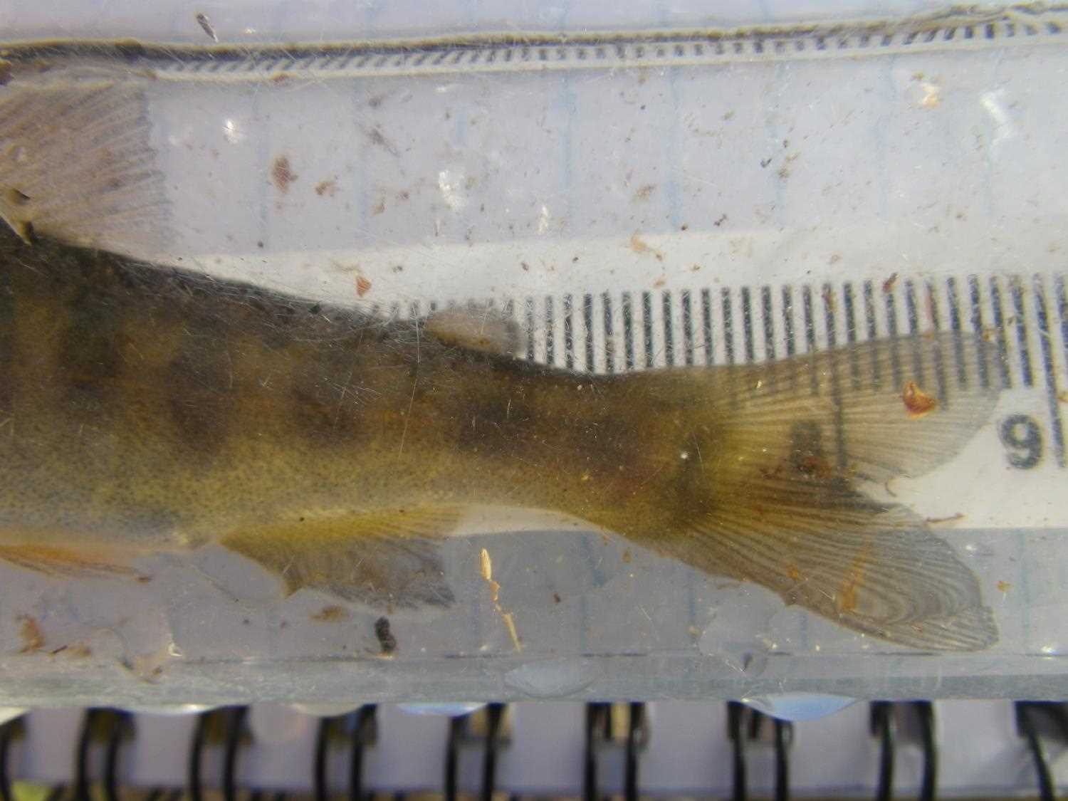
Photos

Questions or comments about this report can be directed to dfg.dsf.webmaster@alaska.gov