Fish Passage Site 20501459
Coordinates (dec. deg.): 62.28135°, -150.17917°
Legal Description: S025N005W03
Region: South Central
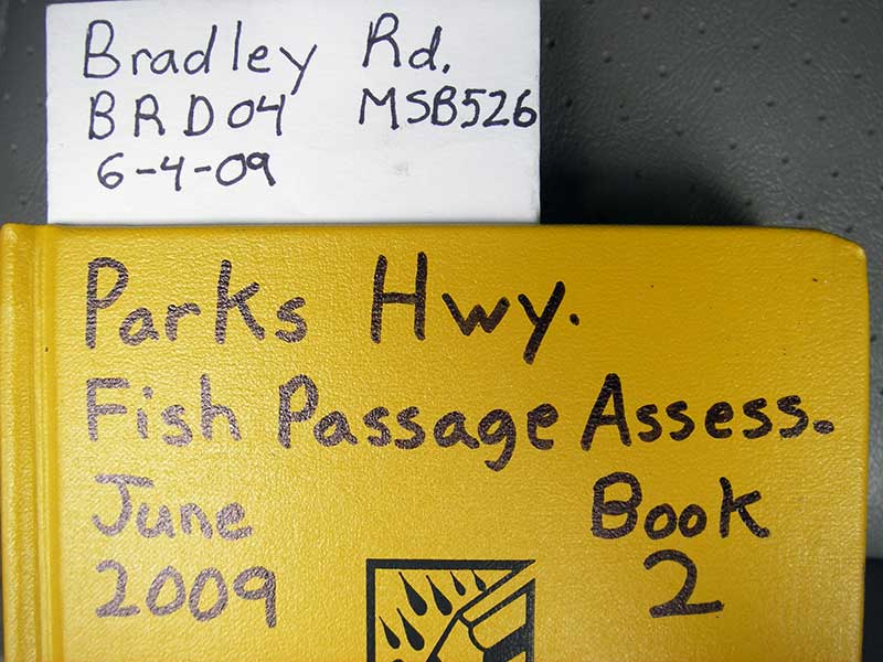
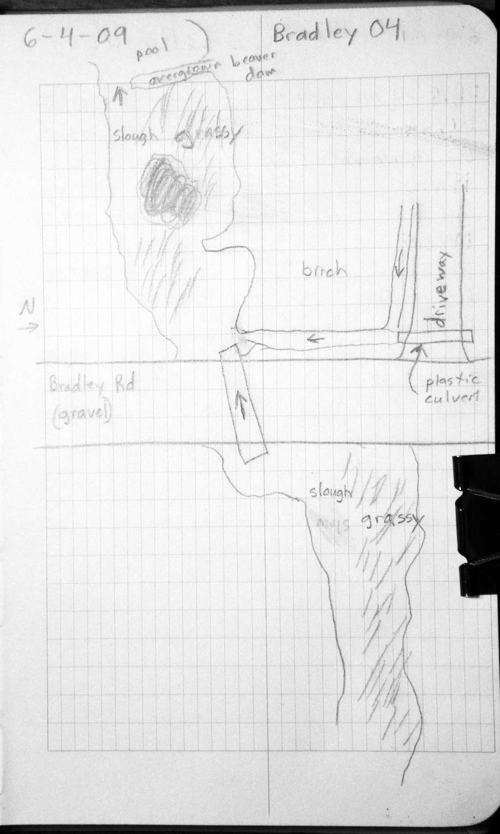
Road Name: Bradley
Datum: WGS84
Quad Name / ITM: Talkeetna B-1
AWC Stream #:
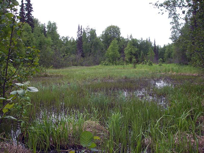
Stream Name: Susitna River tributary
Elevation:
Site Comments: None
Survey PRK09-BRD04
Project Supervisor: Gillian O'Doherty, ADFG
Observers: Heidi Zimmer, Ben Histand
Overall Fish Passage Rating:
Tidal: No
Backwatered: No
Step Pools:
Construction Year:
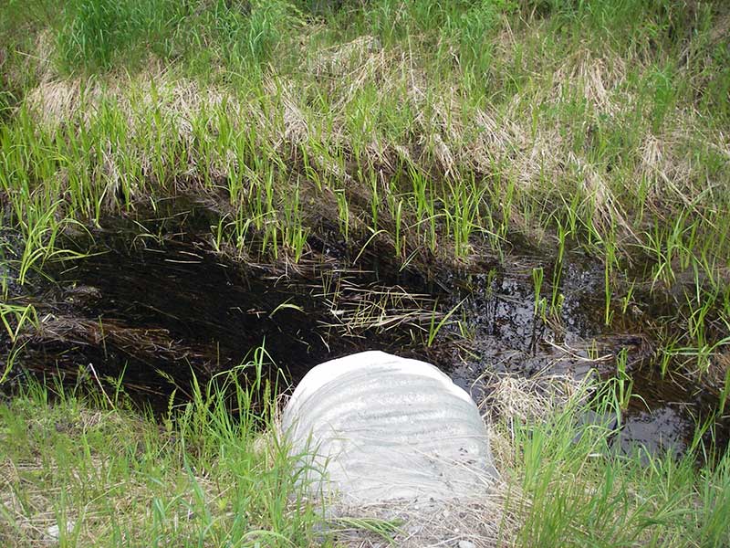
Site Observations:
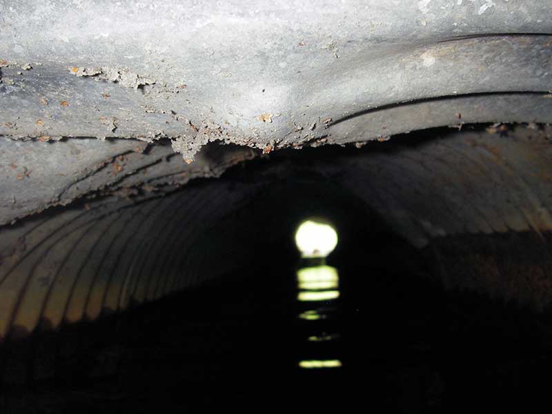
- Culvert gradient red
- Shallow fill; inadequate roadfill volume above culvert
- Hydraulic flows exceeded capacity
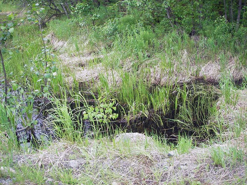
Comments: CR not considered b/c no defined channel but pipe is probably too small for volume of water
Culvert Measurements
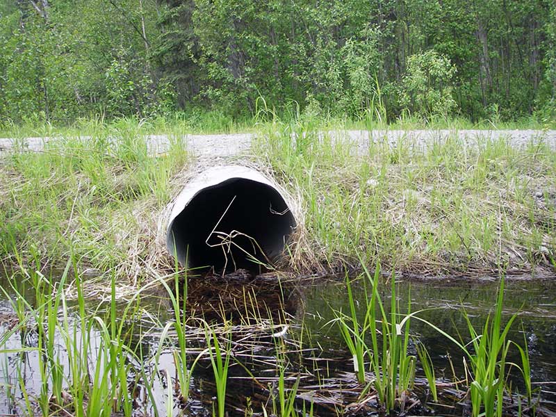
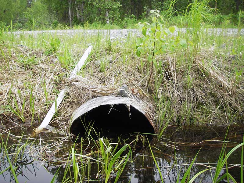
| ID: 1 | Structure Type: Circular pipe (Corrugated steel) | Fish Passage Rating: | |||||||||||||||||||||||||||||||||||||||||
|
|
|
|||||||||||||||||||||||||||||||||||||||||
Culvert Observations:
|
|||||||||||||||||||||||||||||||||||||||||||
Stream Measurements
|
|
No stream width data available.
Elevations
| Locator ID | Culvert Number |
River Distance (ft)1 |
Distance From Crossing (ft)2 |
Relative Elevation (ft) |
|---|---|---|---|---|
| Outlet Pool Water Elev | 1 | 97.88 | ||
| U/S Headwater | 1 | 98.45 | ||
| D/S Water Surface Elev (d/s WS) | 1 | 0.00 | 90.0 | 97.55 |
| D/S Water Surface Elev (ws @ TWC) | 1 | 76.70 | 13.3 | 97.82 |
| D/S Tailcrest or 1st Thalweg | 1 | 76.70 | 13.3 | 97.46 |
| D/S Thalweg | 1 | 84.00 | 6.0 | 96.64 |
| Outlet Invert | 1 | 90.00 | 0.0 | 97.18 |
| Road Elev | 1 | 107.00 | 100.27 | |
| Inlet Culvert Invert | 1 | 124.00 | 0.0 | 98.03 |
| U/S Grade Ctrl (Thalweg) (grassy veg mat causes small drop into pipe) | 1 | 124.10 | 0.1 | 98.16 |
Notes:
- River distance is measured continuously throughout the survey reach along the thalweg of the stream.
- Measured from each end of the crossing along the thalweg of the stream.
Fish Sampling Efforts
| Gear Type: Minnow Trap (A) | Trap Duration(h): 1.0 | |
| Comments: no fish caught; 60ft u/s | ||
| Gear Type: Minnow Trap (B) | Trap Duration(h): 1.0 | |
| Comments: no fish caught; 200ft d/s | ||
Fish Observations
No fish observations occurred during this survey.
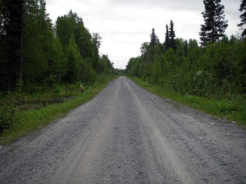
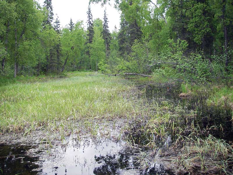
Photos
Questions or comments about this report can be directed to dfg.dsf.webmaster@alaska.gov