Fish Passage Site 20501456
Coordinates (dec. deg.): 62.30309°, -150.17932°
Legal Description: S026N005W34
Region: South Central
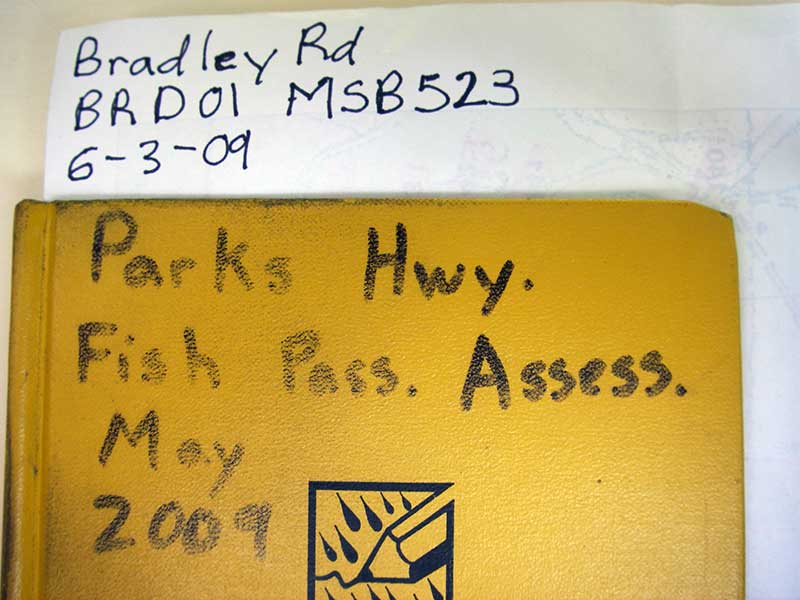
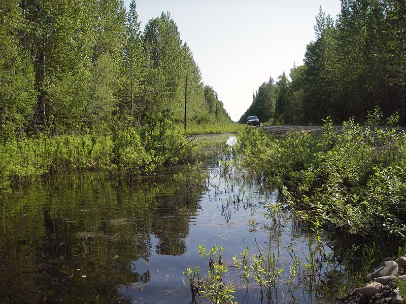
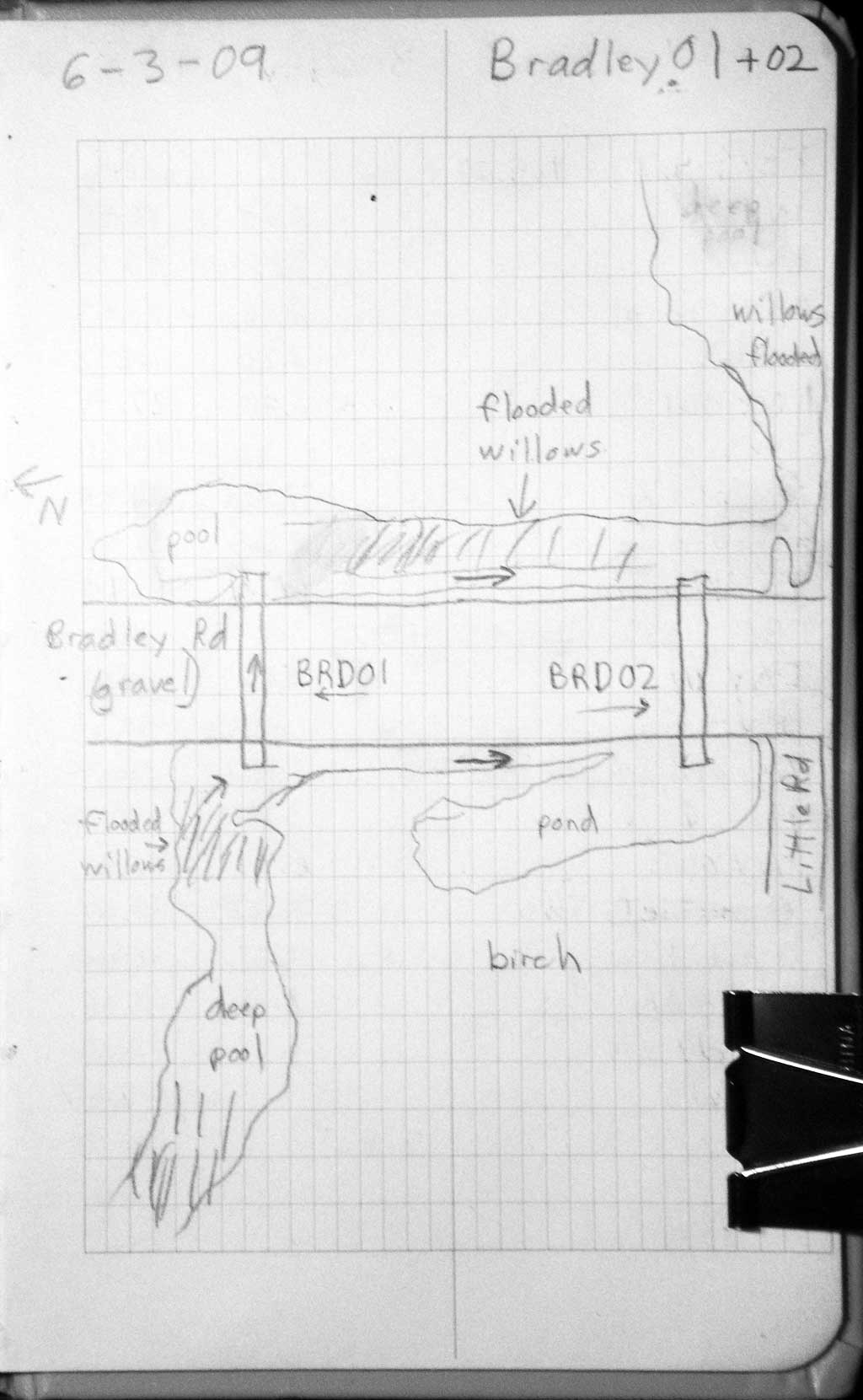
Road Name: Bradley
Datum: WGS84
Quad Name / ITM: Talkeetna B-1
AWC Stream #:
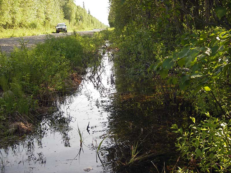
Stream Name: Susitna Tributary
Elevation:
Site Comments: None
Survey PRK09-BRD01
Project Supervisor: Gillian O'Doherty, ADFG
Observers: Heidi Zimmer, Ben Histand
Overall Fish Passage Rating:
Tidal: No
Backwatered: No
Step Pools: No
Construction Year:
Site Observations:
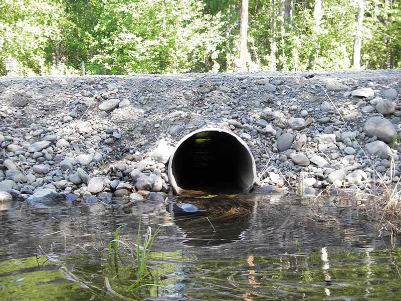
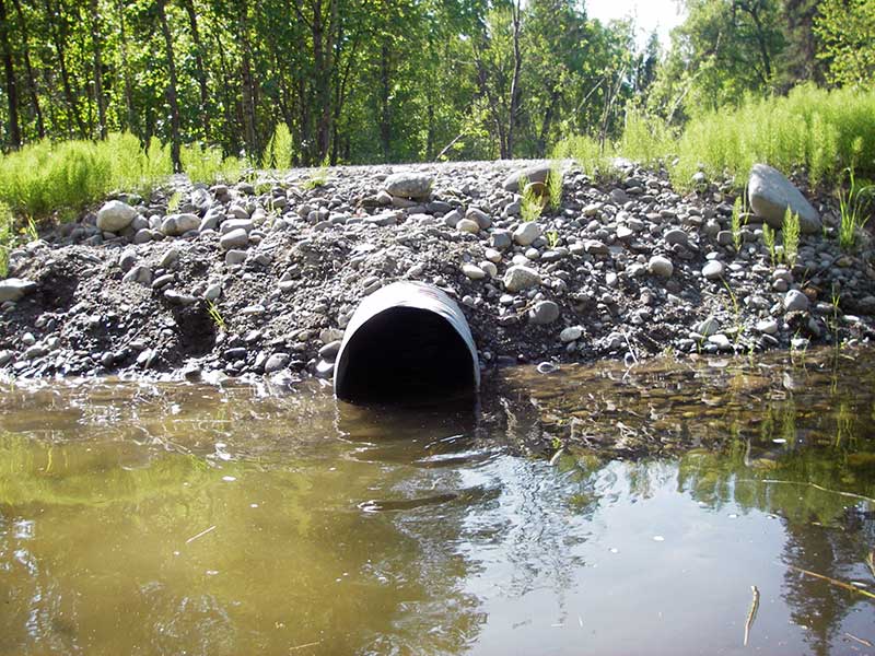
- Culvert gradient red
- Shallow fill; inadequate roadfill volume above culvert
Comments: No fish; Survey TBM same as TBM for BRD02 (sites near each other)
Culvert Measurements
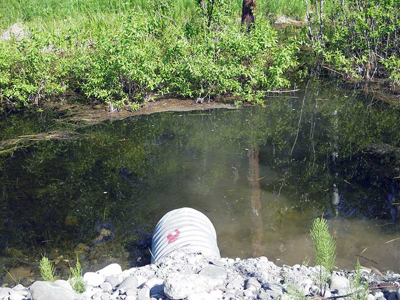
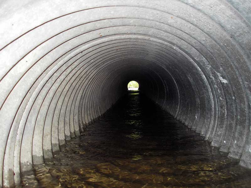
| ID: 1 | Structure Type: Circular pipe (Corrugated steel) | Fish Passage Rating: | |||||||||||||||||||||||||||||||||||||||||
|
|
|
|||||||||||||||||||||||||||||||||||||||||
Culvert Observations:
|
|||||||||||||||||||||||||||||||||||||||||||
Stream Measurements
|
|
No stream width data available.
Elevations
| Locator ID | Culvert Number |
River Distance (ft)1 |
Distance From Crossing (ft)2 |
Relative Elevation (ft) |
|---|---|---|---|---|
| Outlet Pool Water Elev | 1 | 98.50 | ||
| U/S Headwater | 1 | 98.89 | ||
| D/S Water Surface Elev | 1 | 0.00 | 95.0 | 98.48 |
| D/S Thalweg (bottom of pool) | 1 | 88.20 | 6.8 | 95.49 |
| D/S Thalweg (streambed @ outlet) | 1 | 95.00 | 0.0 | 97.38 |
| Outlet Invert | 1 | 95.00 | 0.0 | 97.84 |
| Road Elev | 1 | 115.00 | 101.52 | |
| Inlet Culvert Invert (TBM same as TMB for BRD02) | 1 | 135.00 | 0.0 | 98.48 |
| U/S Grade Ctrl (Thalweg) (slight GP/edge of road fill) | 1 | 135.90 | 0.9 | 98.53 |
Notes:
- River distance is measured continuously throughout the survey reach along the thalweg of the stream.
- Measured from each end of the crossing along the thalweg of the stream.
Fish Sampling Efforts
| Gear Type: Minnow Trap (A) | Trap Duration(h): 1.5 | |
| Comments: no fish caught; 80ft u/s; under overhanging willows | ||
Fish Observations
No fish observations occurred during this survey.
Photos

Questions or comments about this report can be directed to dfg.dsf.webmaster@alaska.gov