Fish Passage Site 20501435
Coordinates (dec. deg.): 61.56248°, -149.82570°
Legal Description: S017N003W16
Region: South Central
Road Name: Beaver Lake Road
Datum: NAD83
Quad Name / ITM: Anchorage C-8
AWC Stream #: 247-50-10330-2050
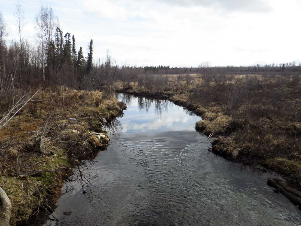
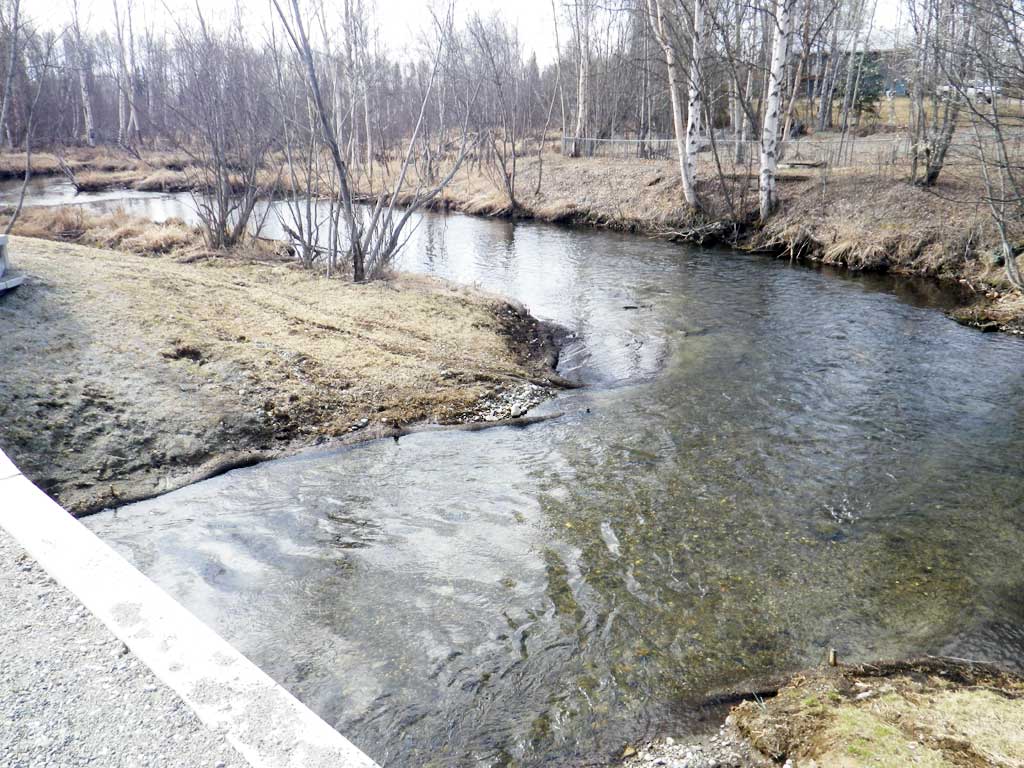
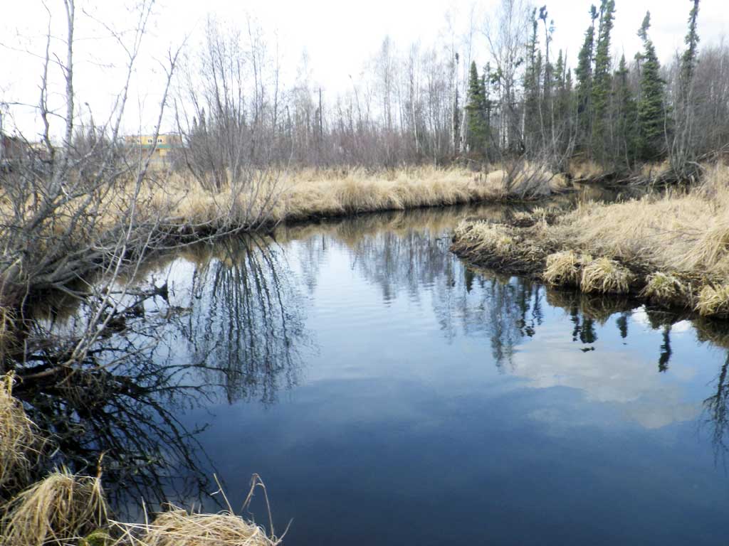
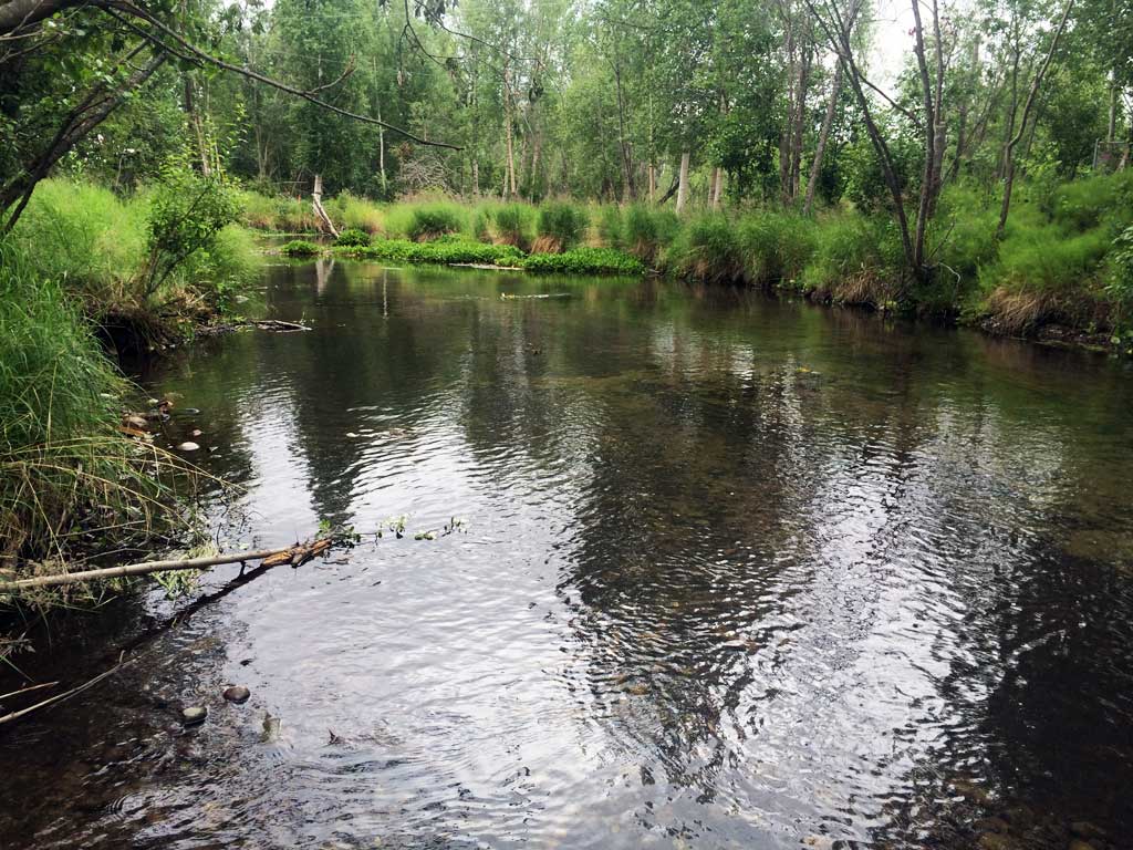
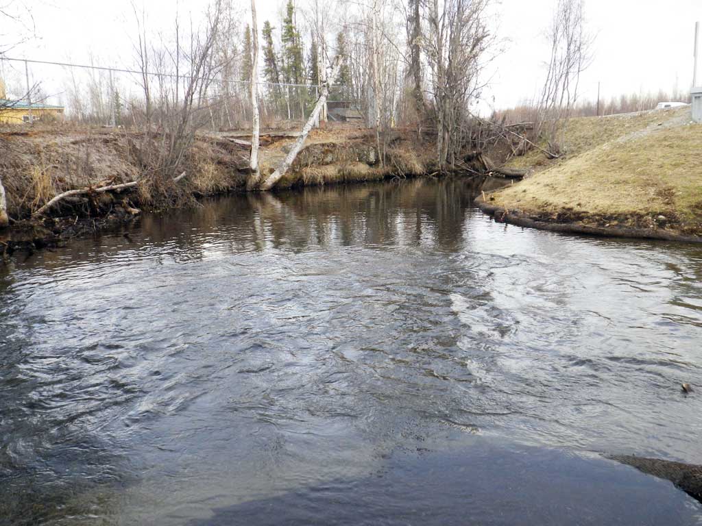
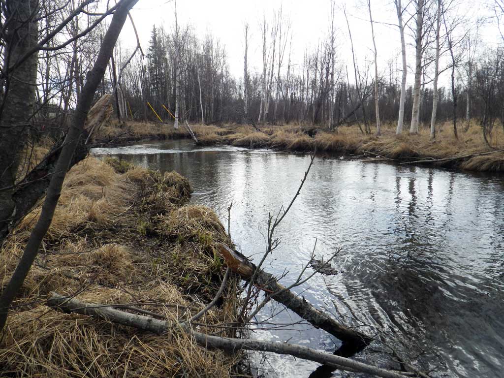
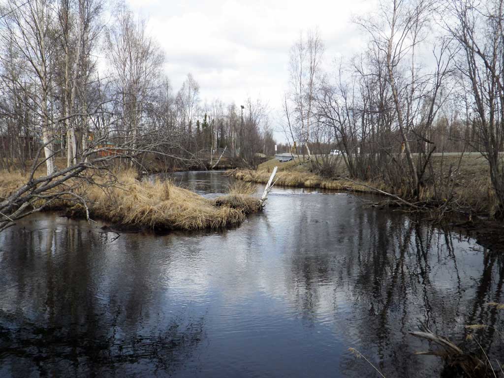
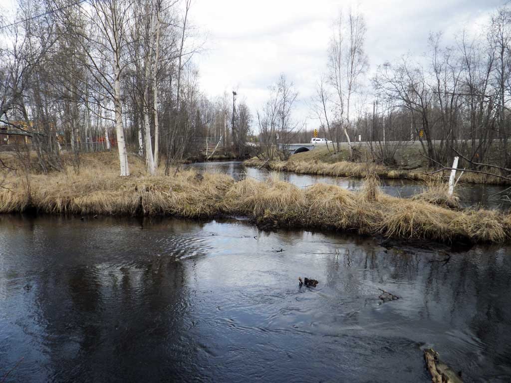
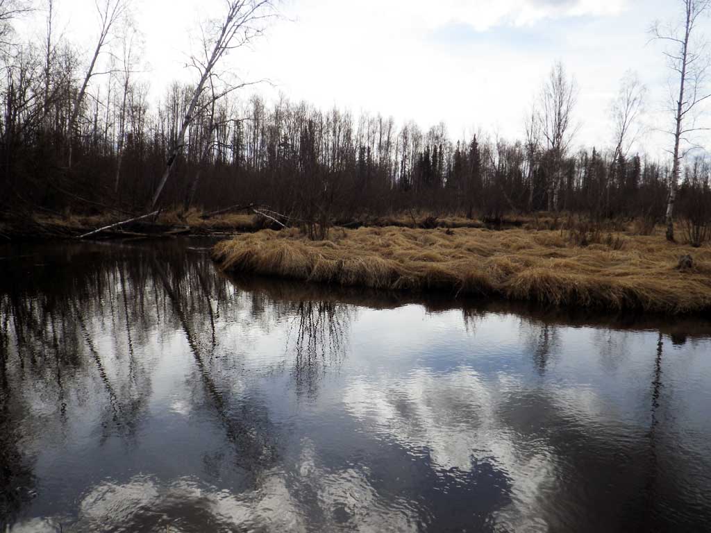
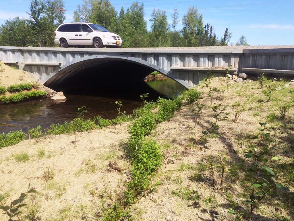
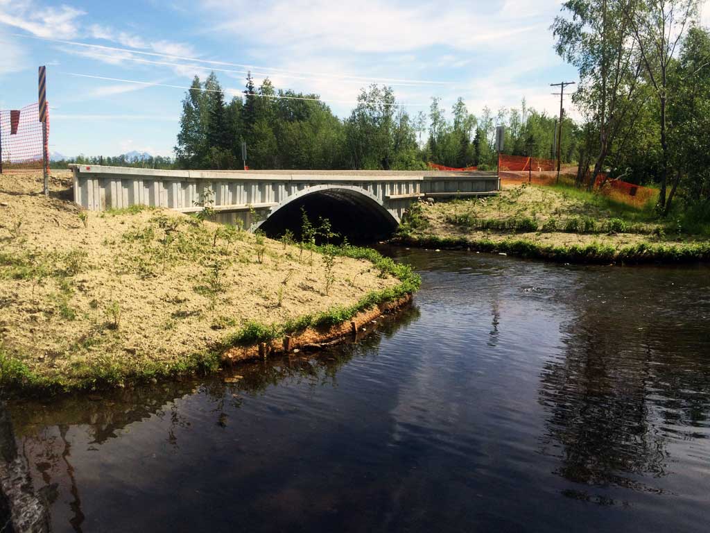
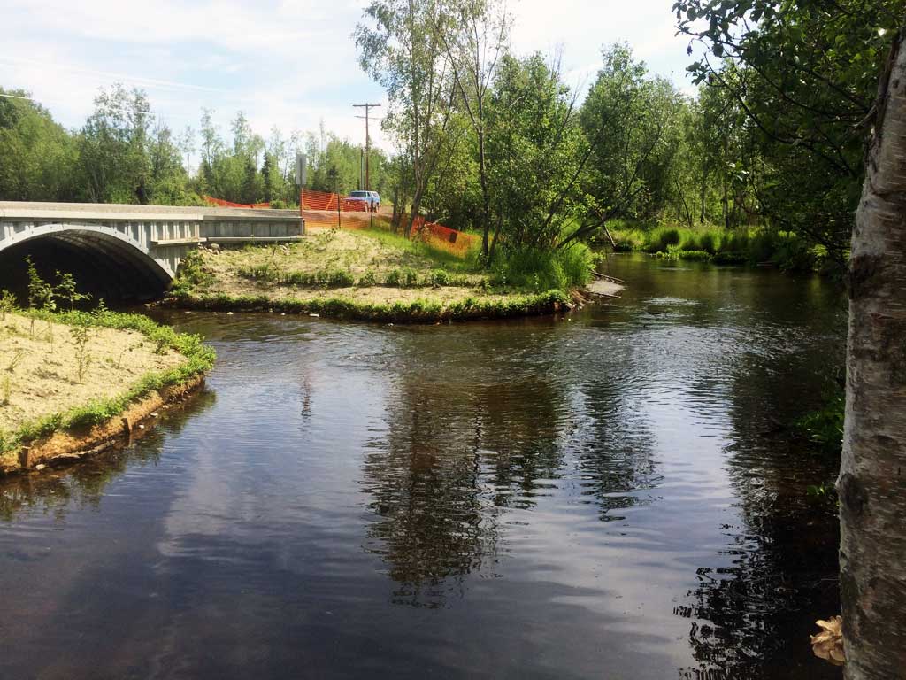
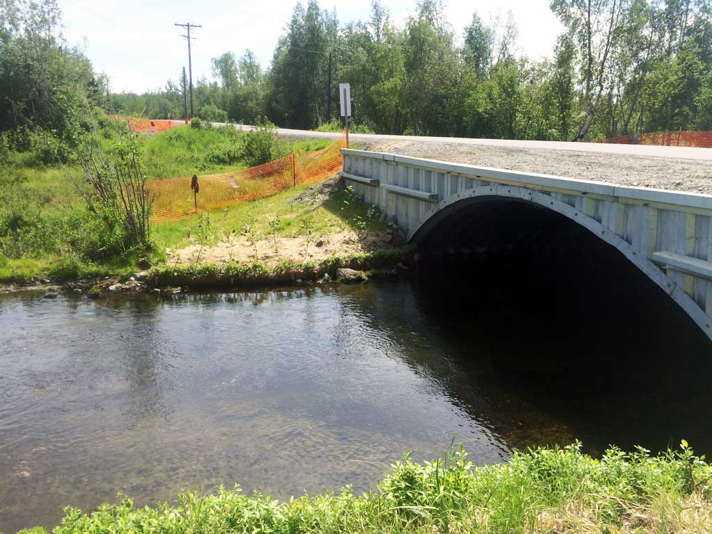
Stream Name: Meadow Creek
Elevation:
Site Comments: SUSITNA RIVER WATERSHED
arrow to the right of the survey date below to choose a different report for this site.
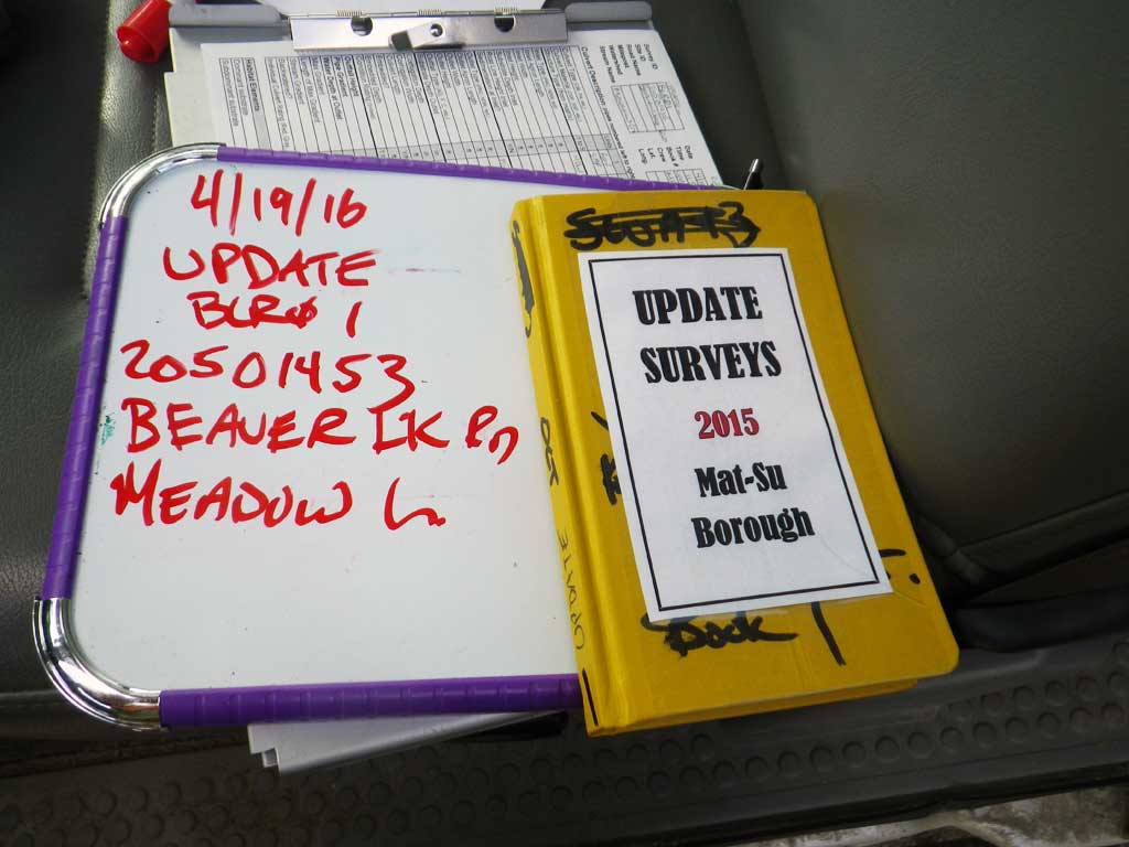
Survey UPDATE-BLR01
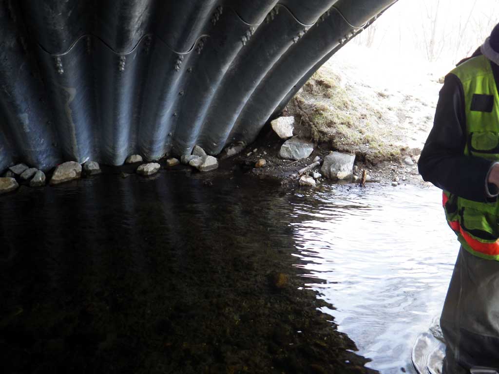
Project Supervisor: Gillian O'Doherty, ADFG
Observers: Mark Eisenman, Gillian O'Doherty
Overall Fish Passage Rating:
Tidal: No
Backwatered: No
Step Pools: No
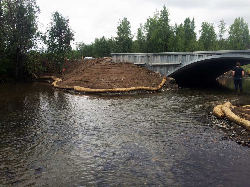
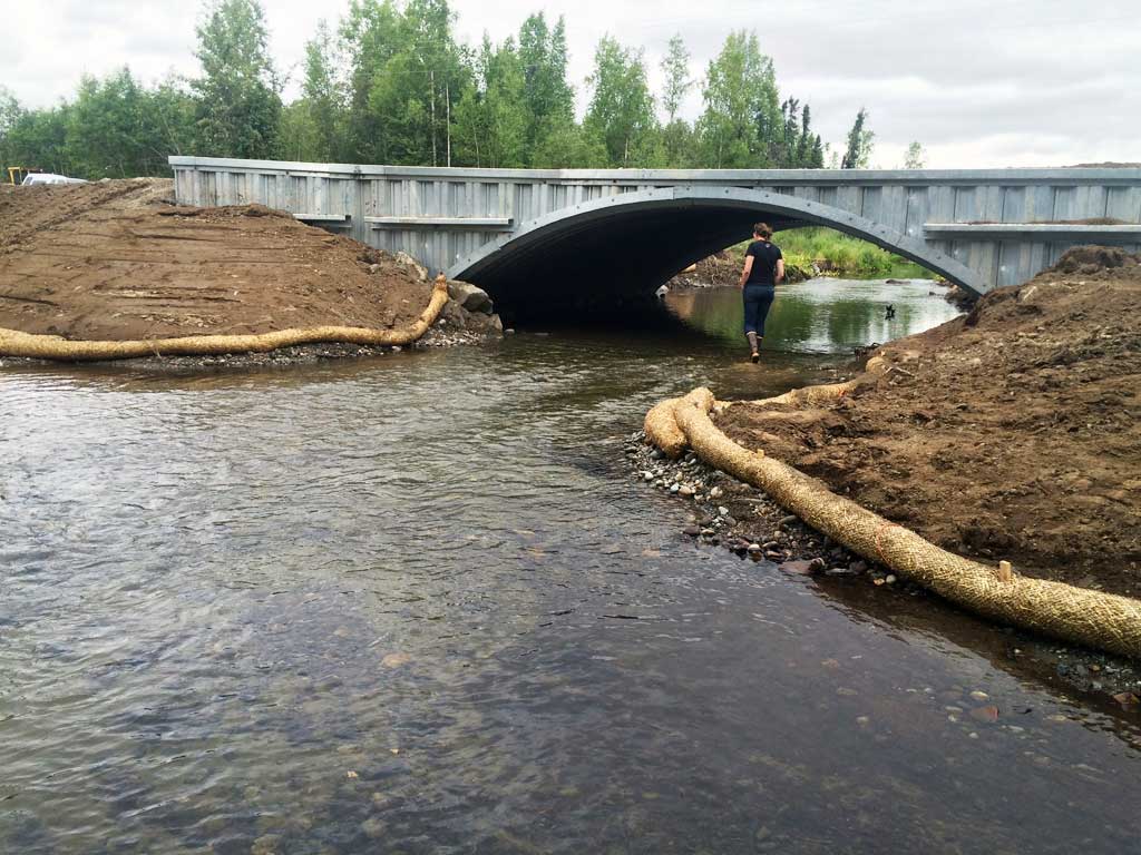
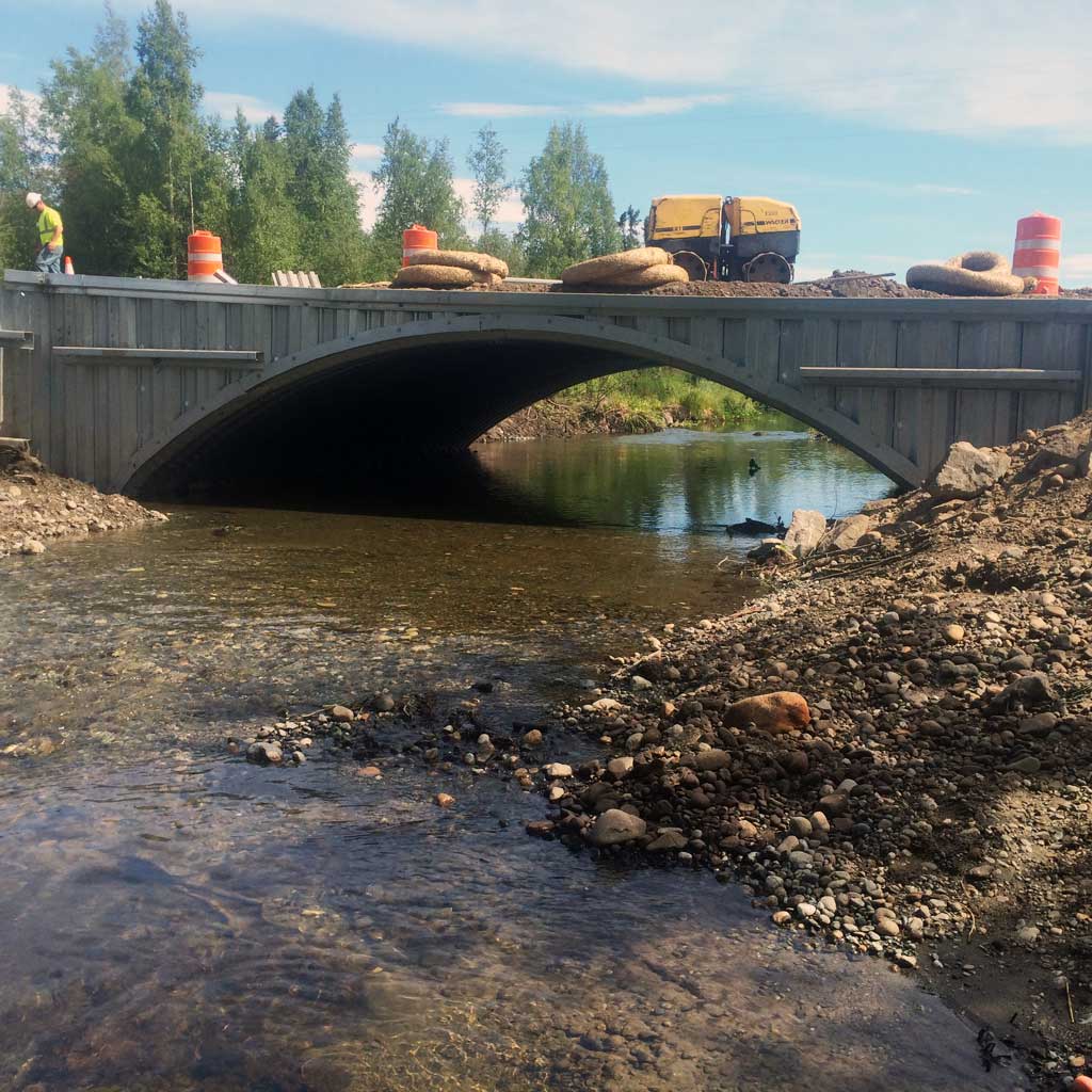
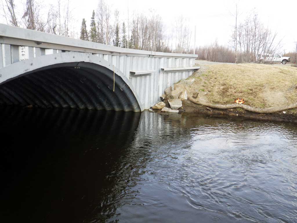
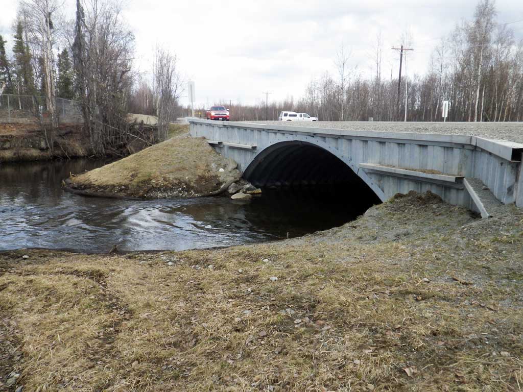
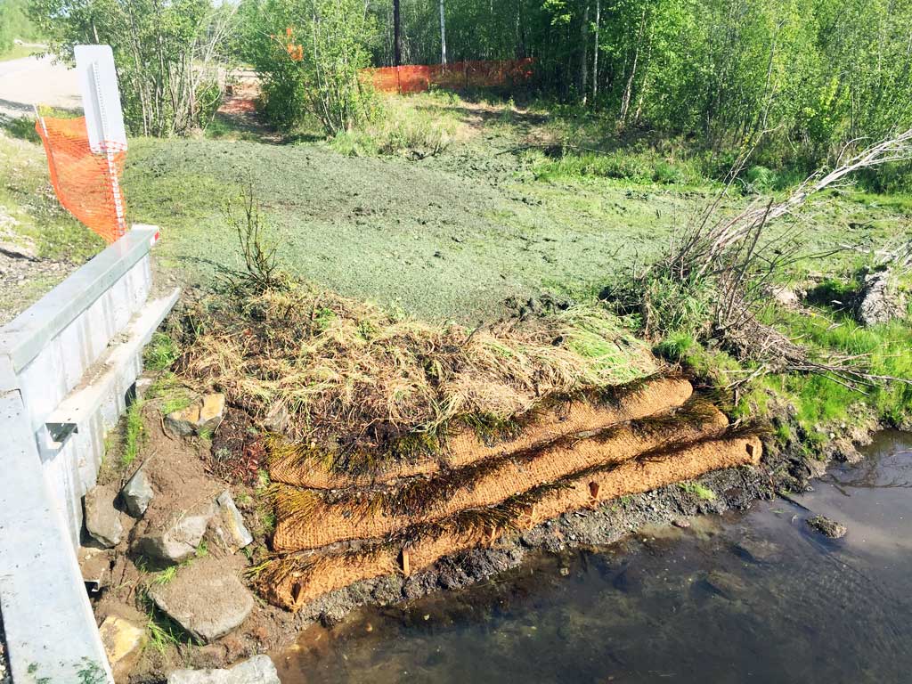
Construction Year: 2015
Site Observations:
- None of this type
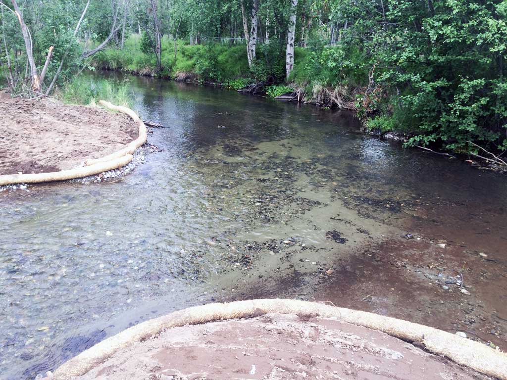
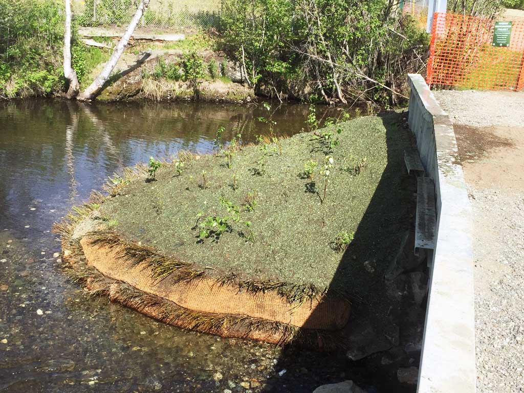
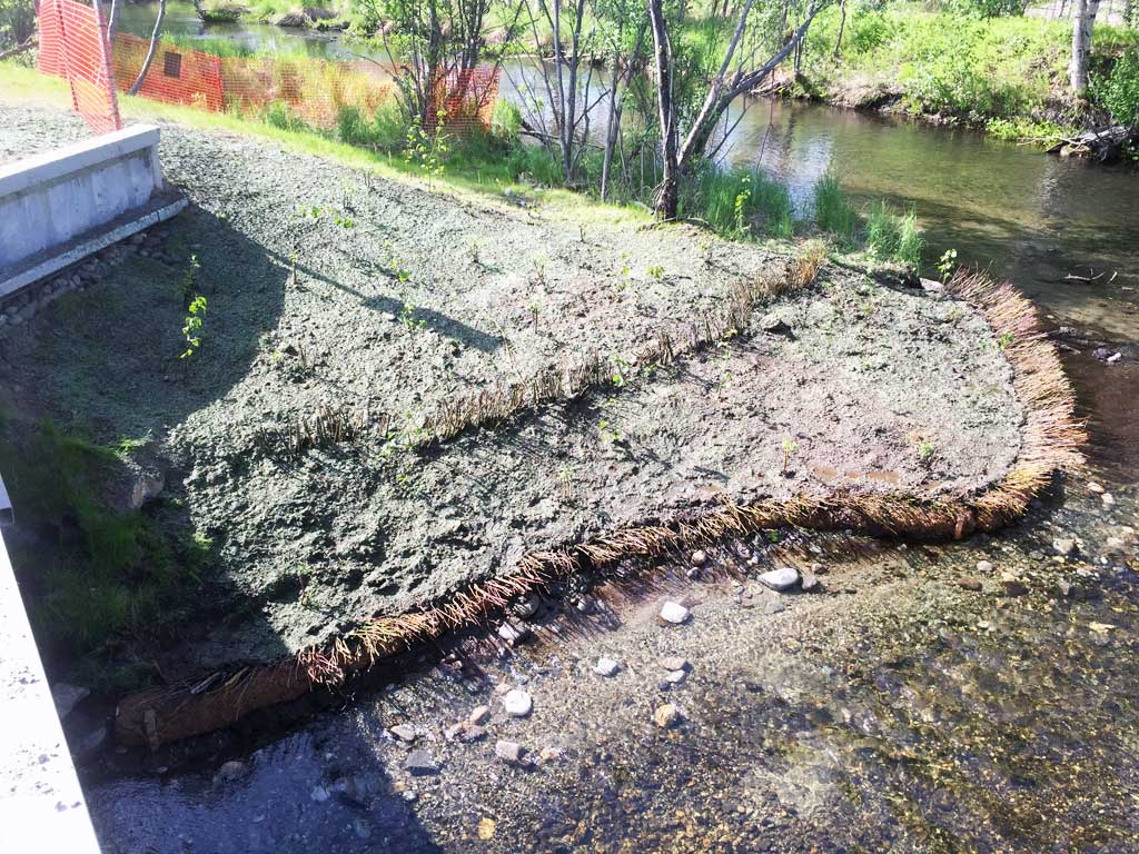
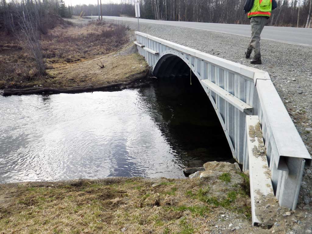
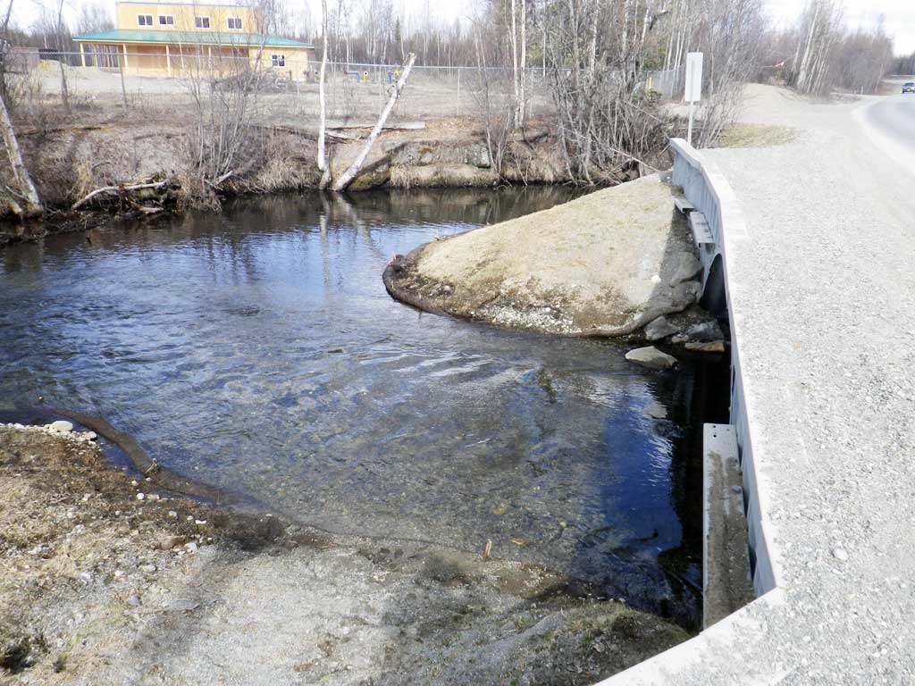
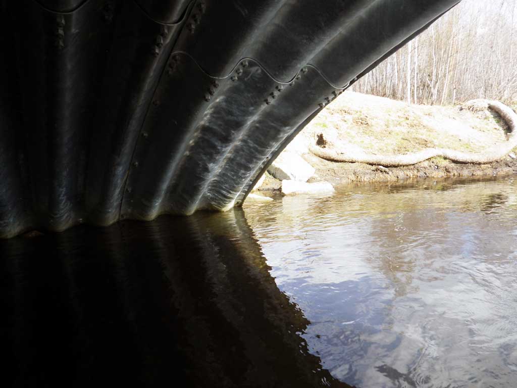
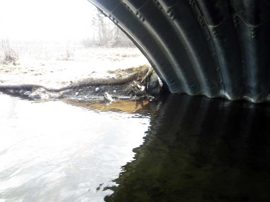
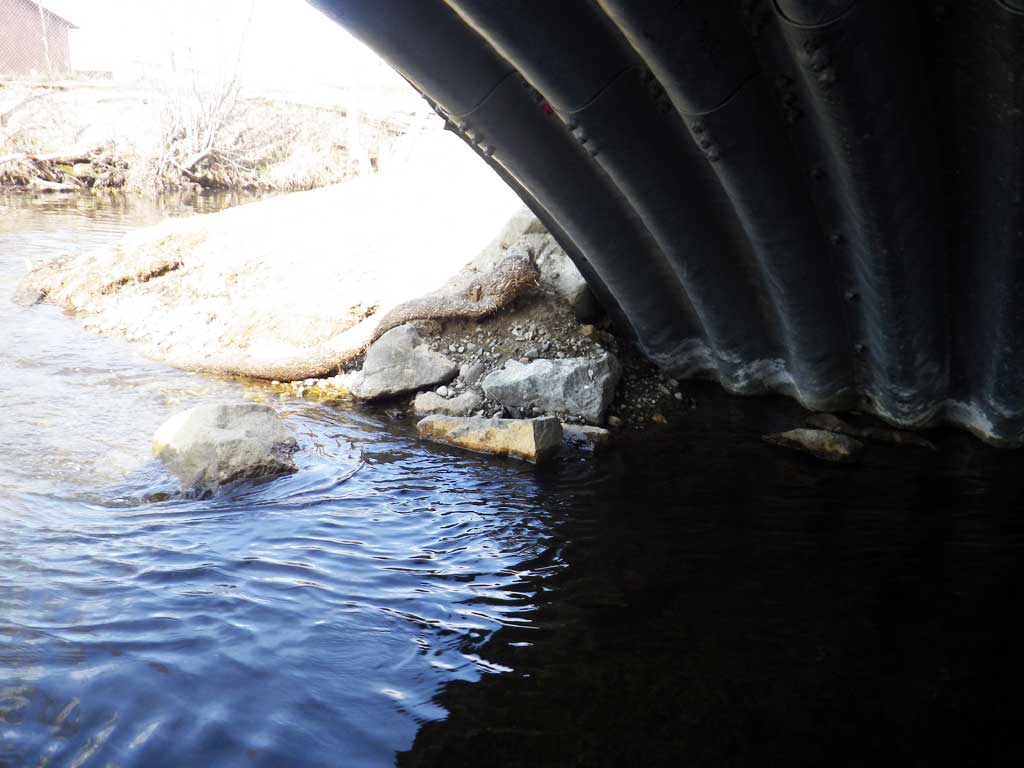
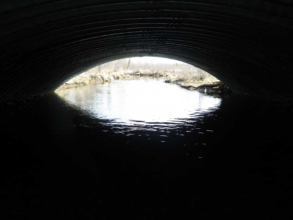
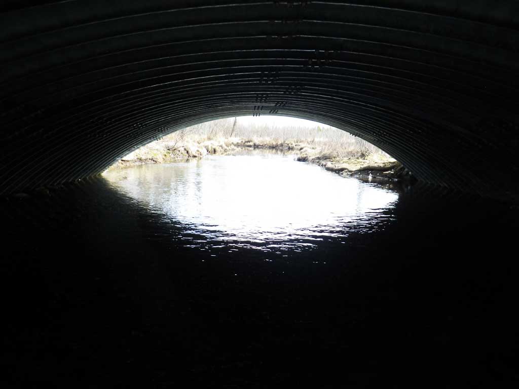
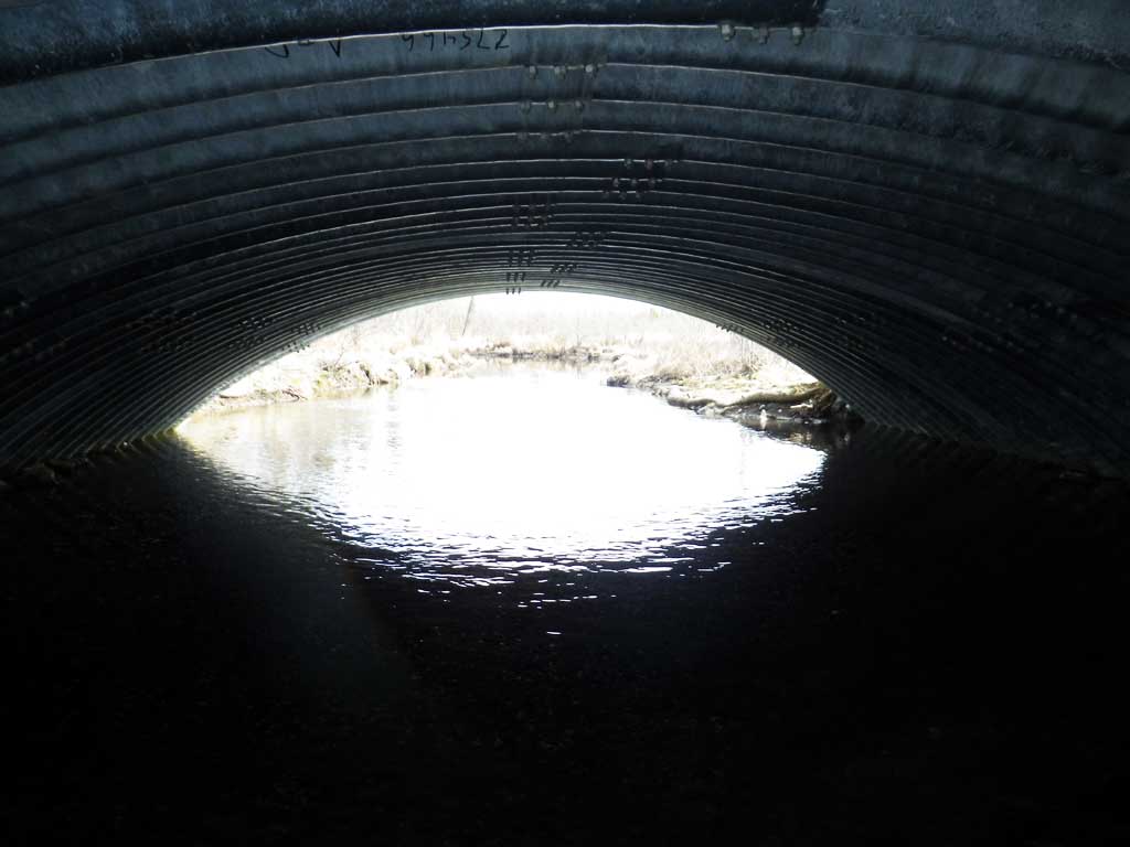
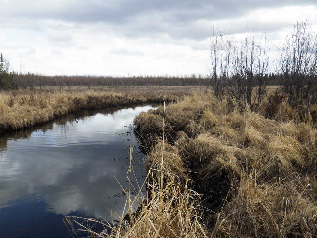
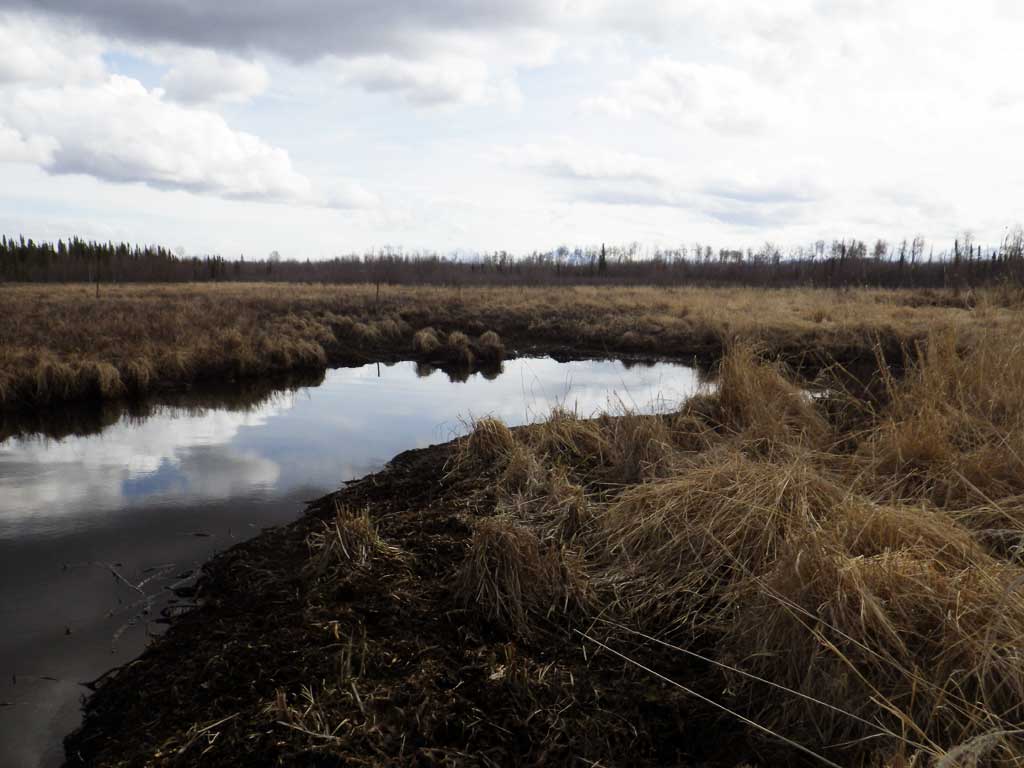
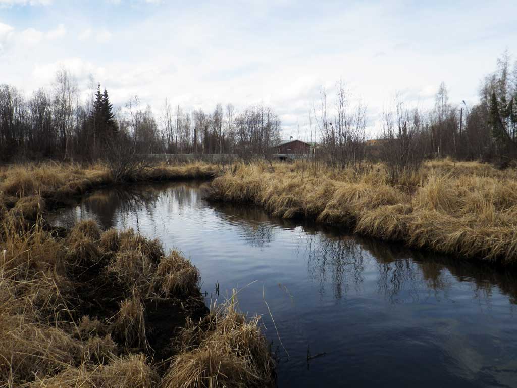
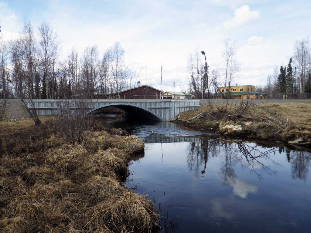
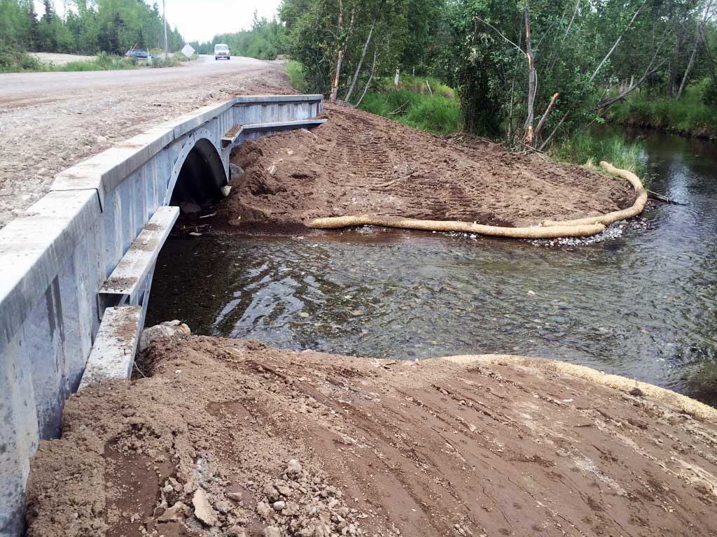
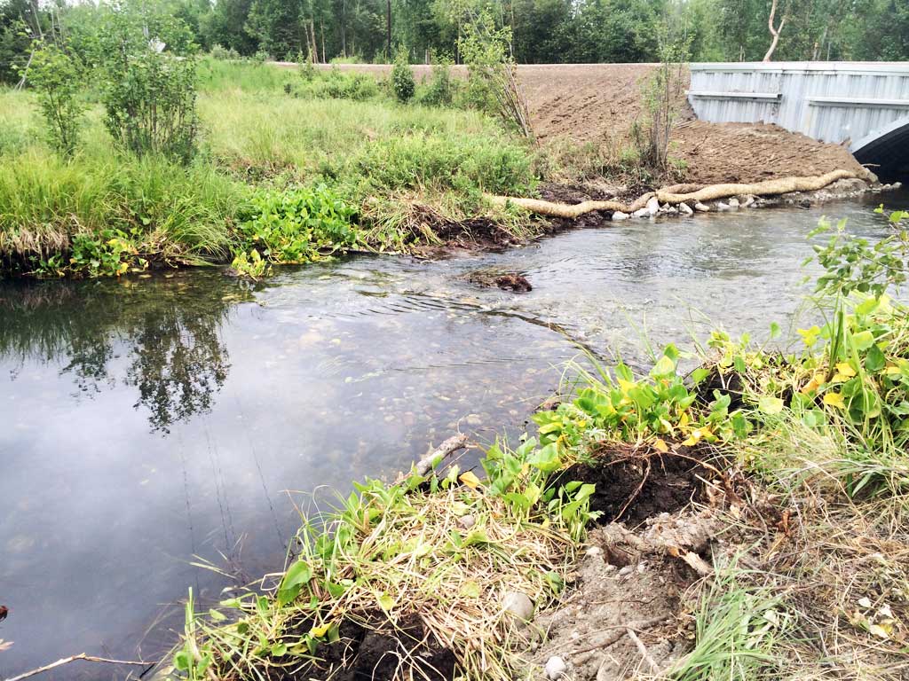
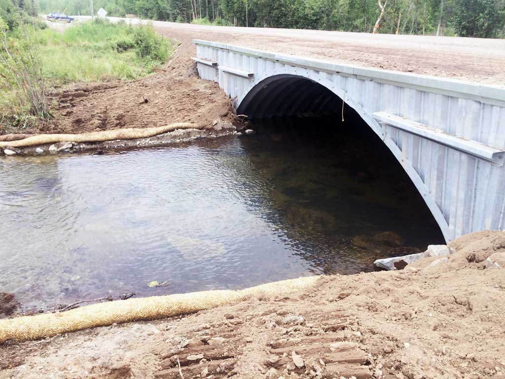
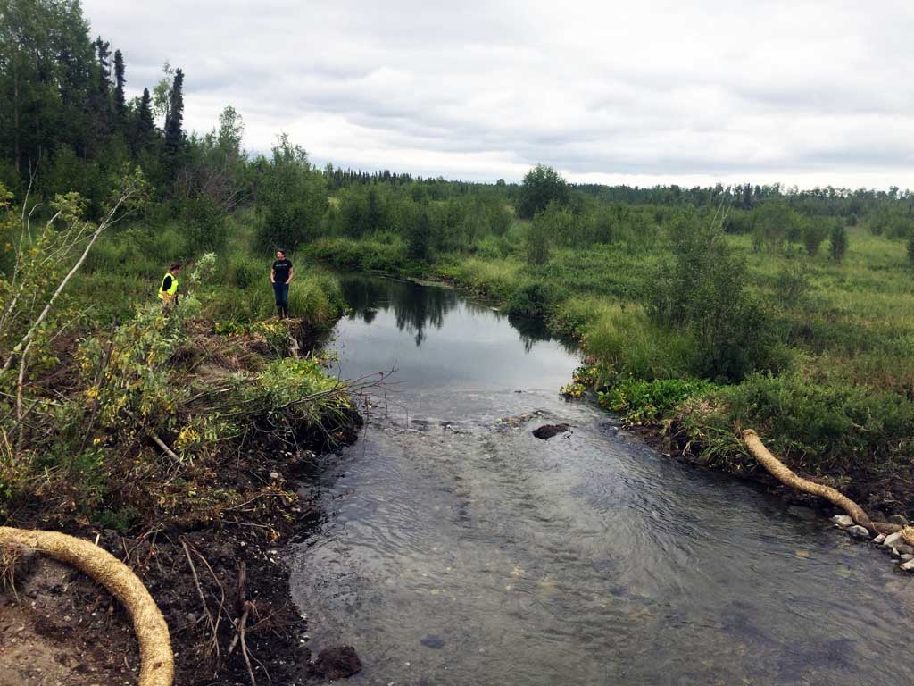
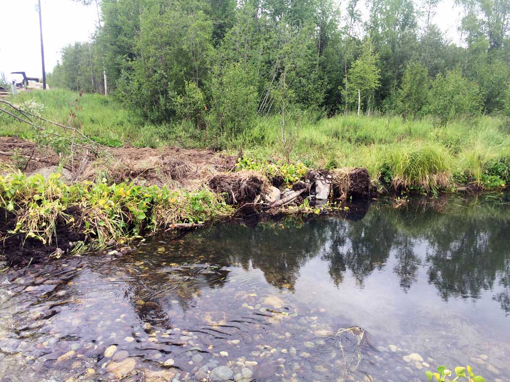
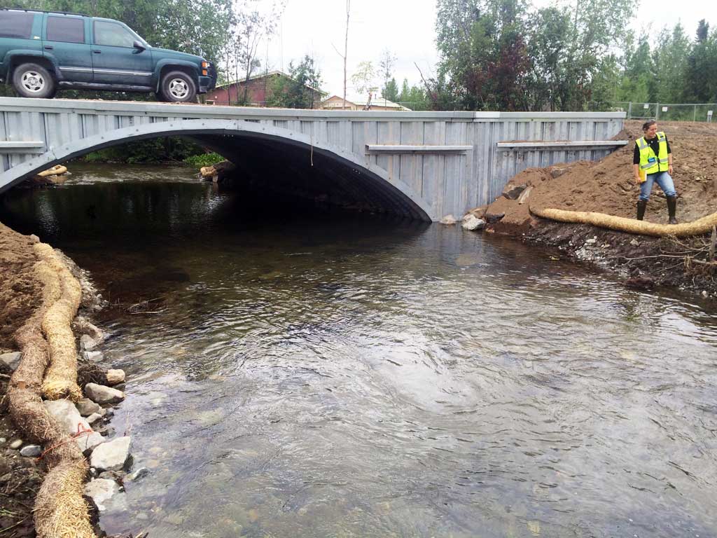
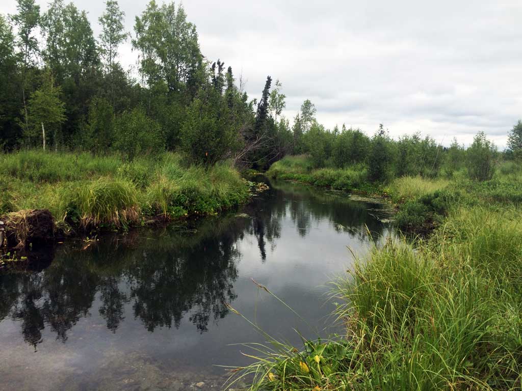
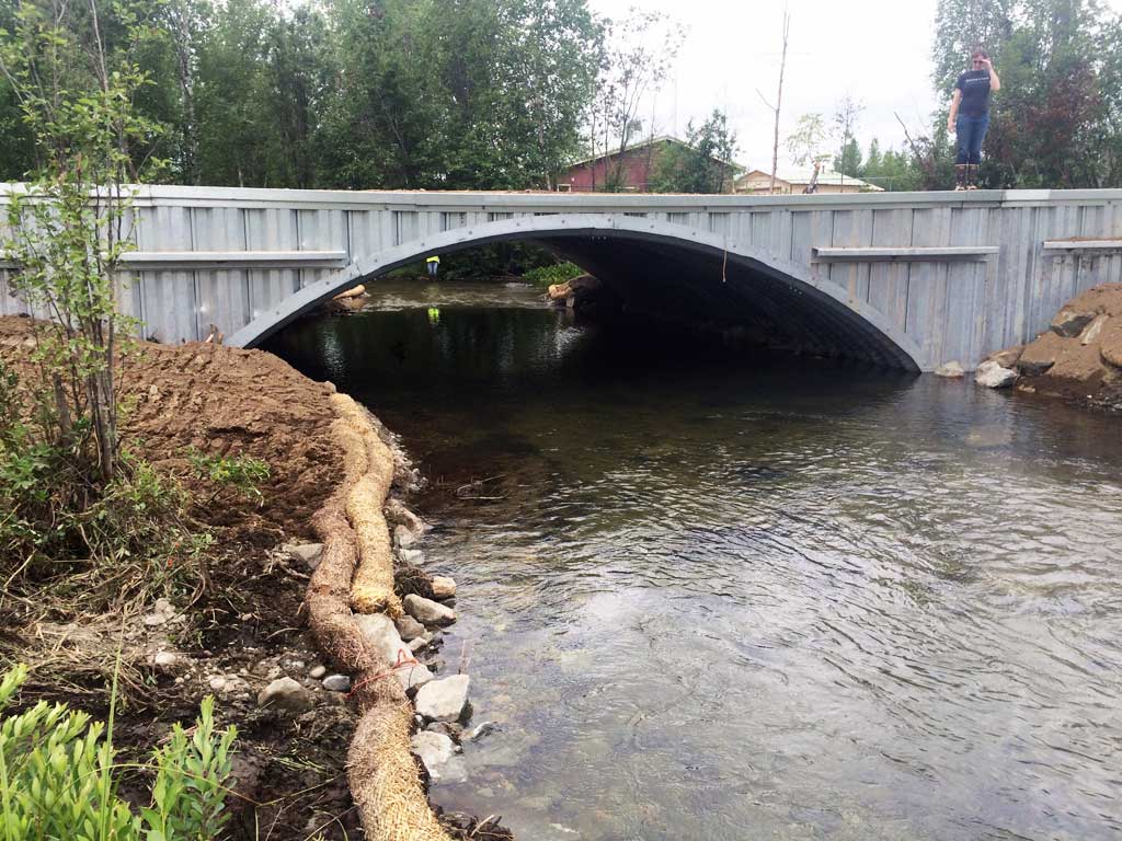
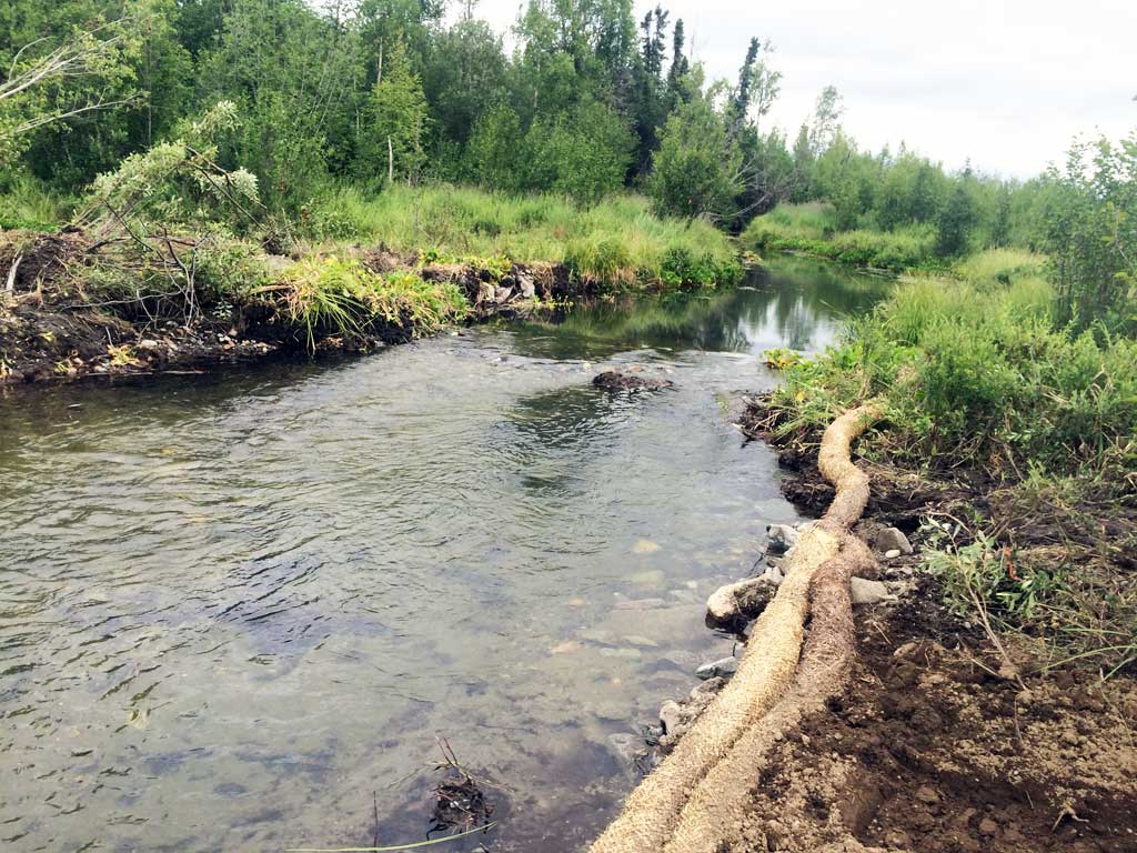
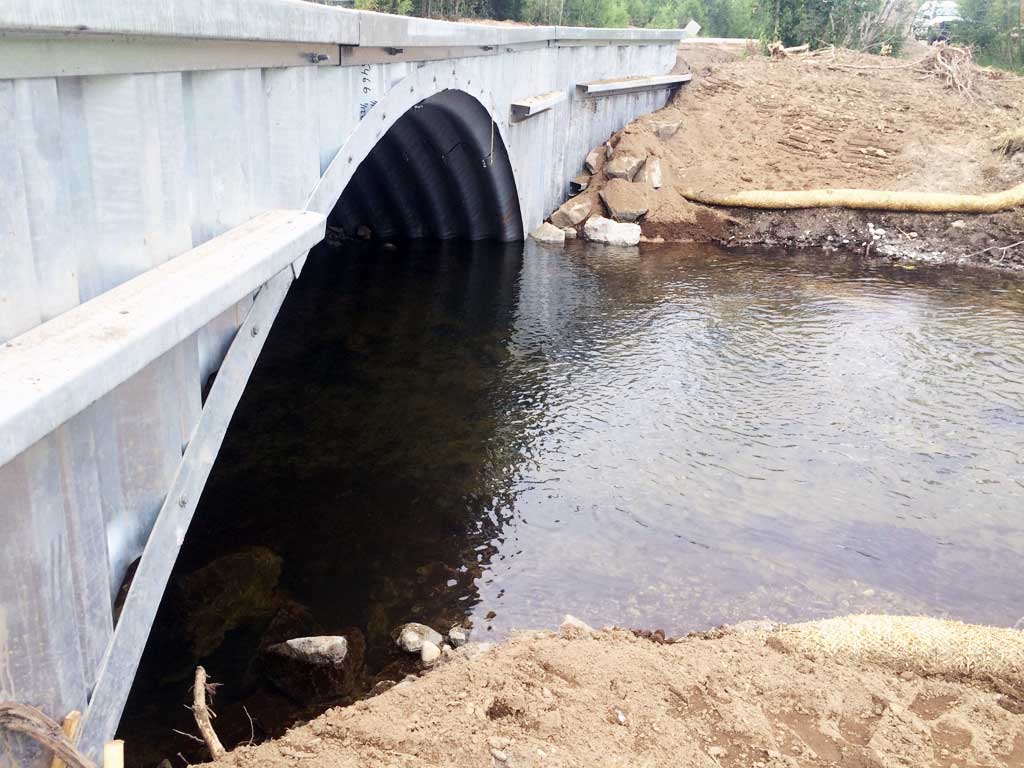
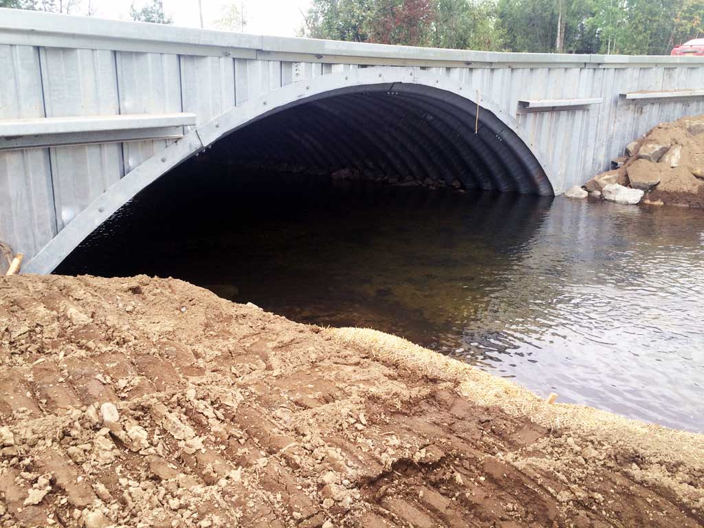
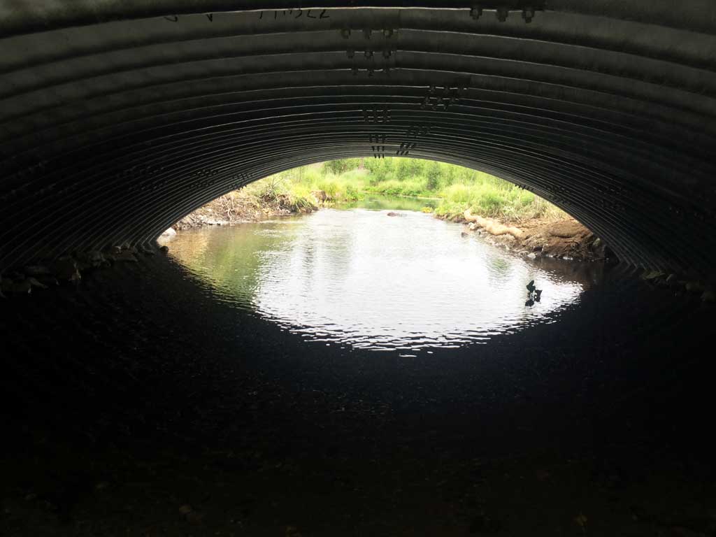
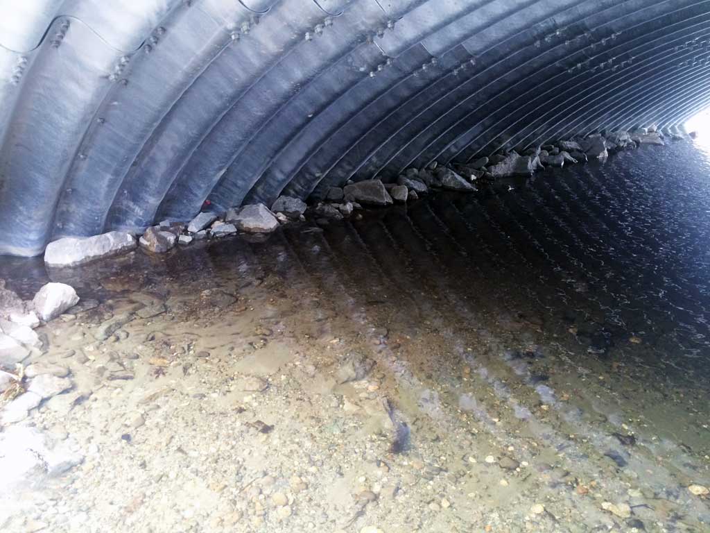
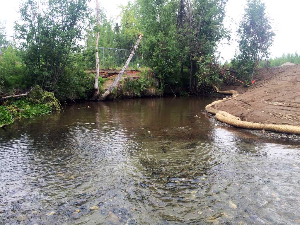
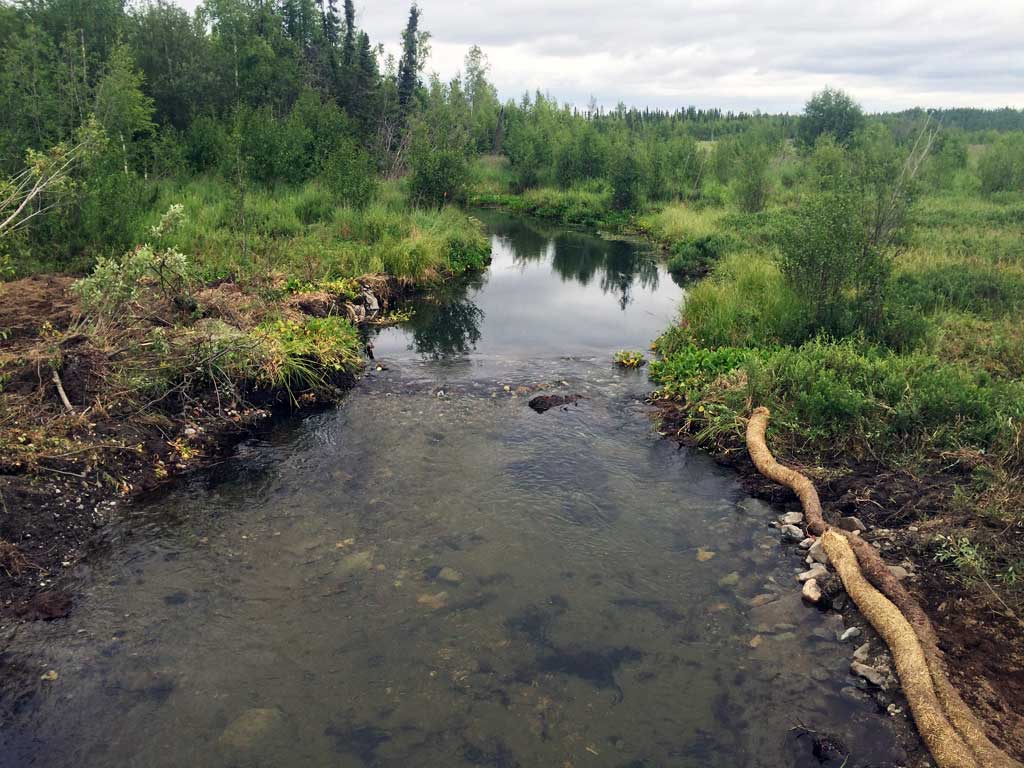
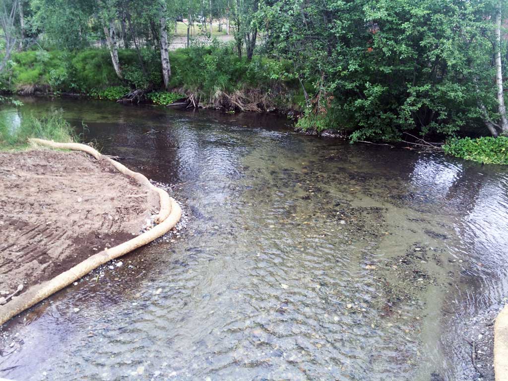
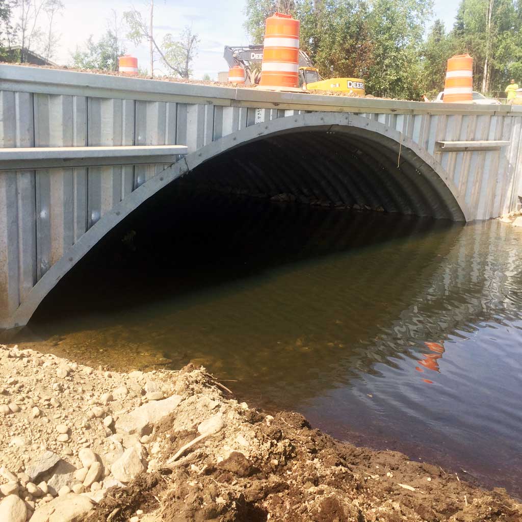
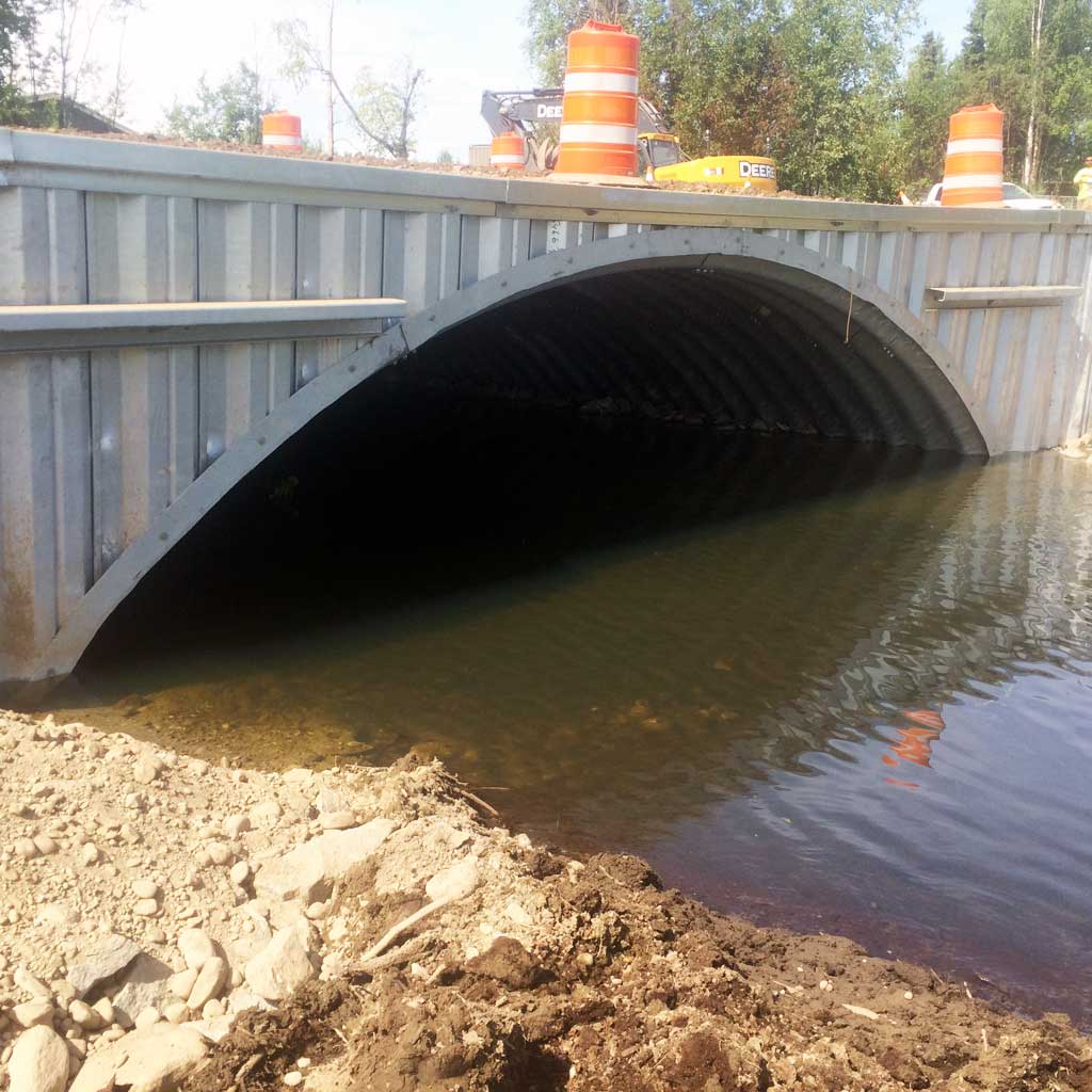
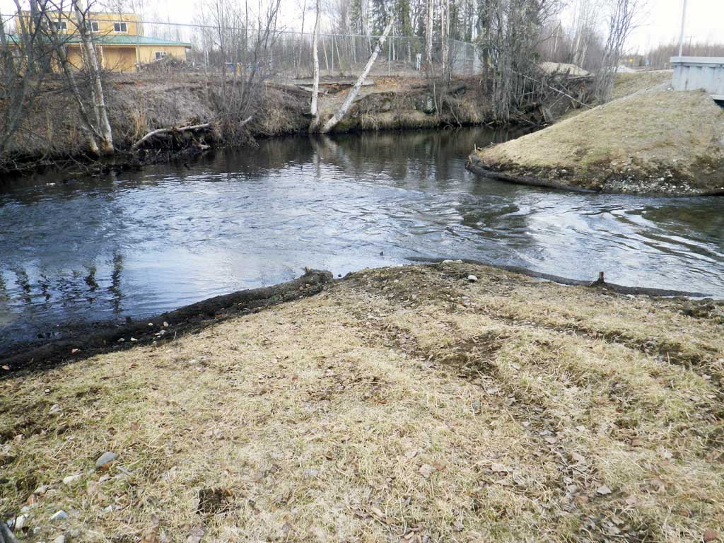
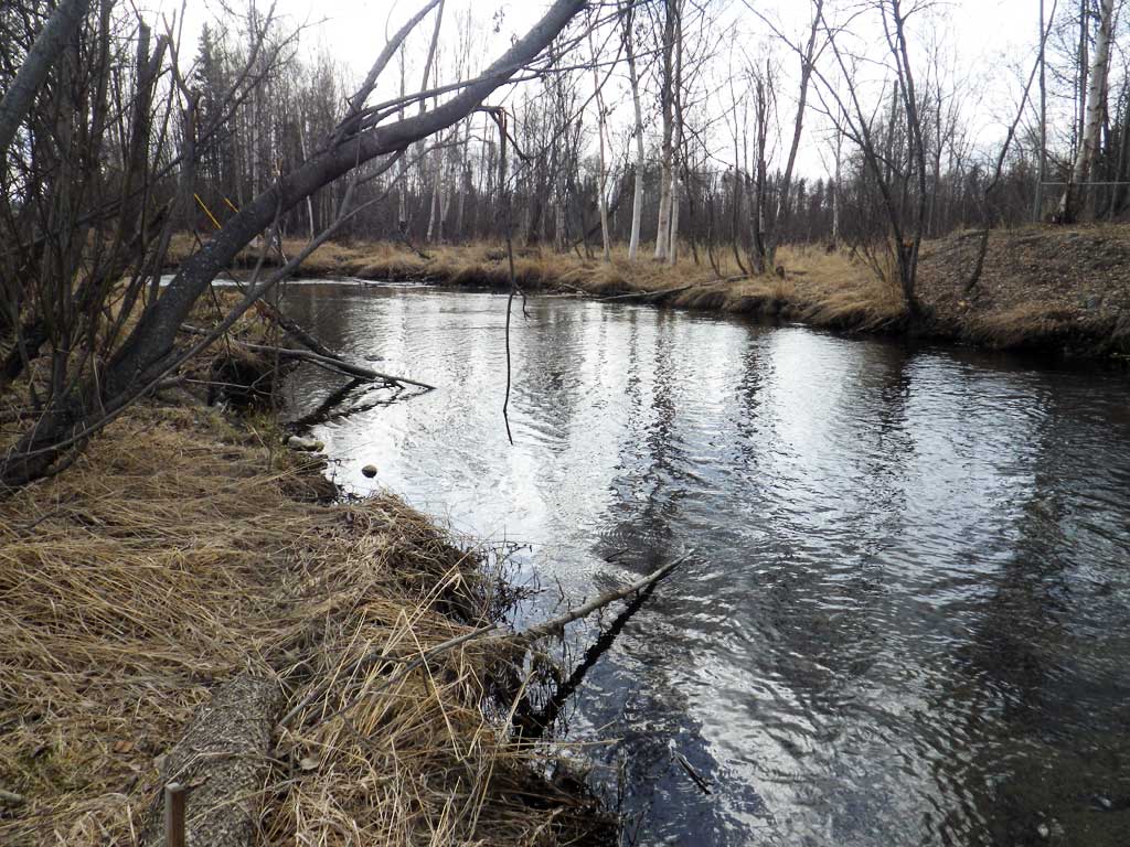
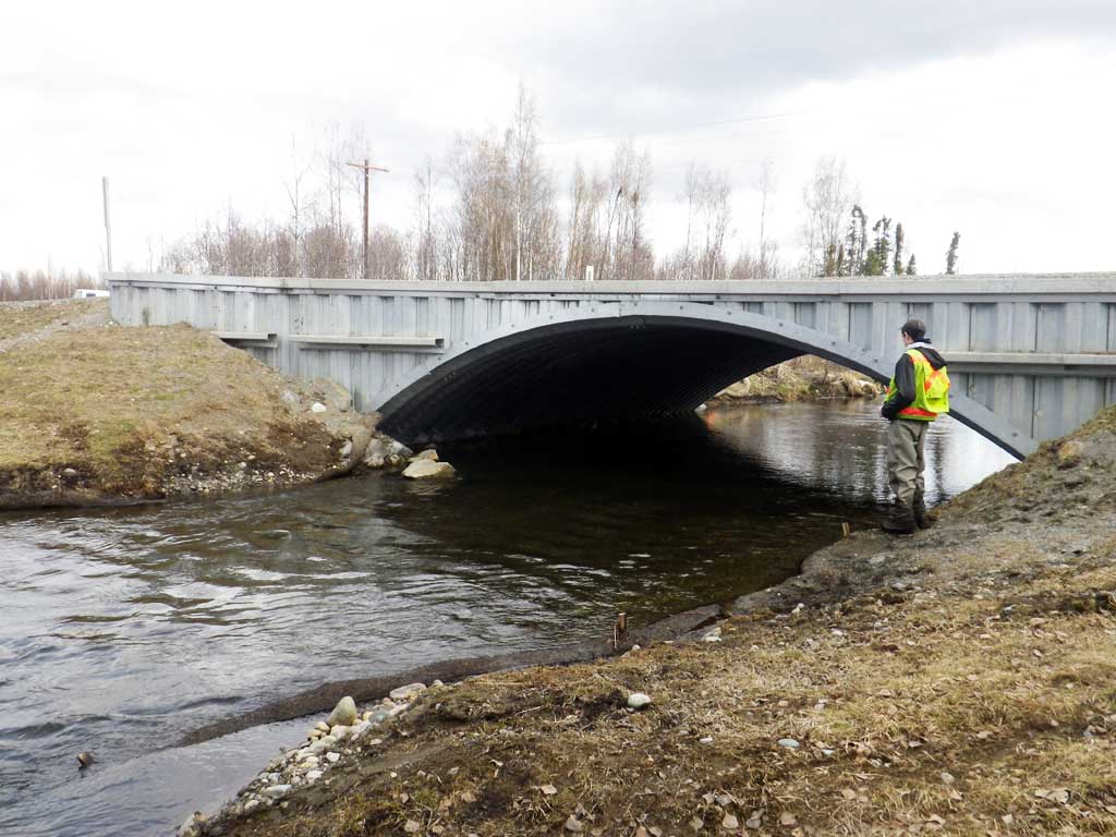
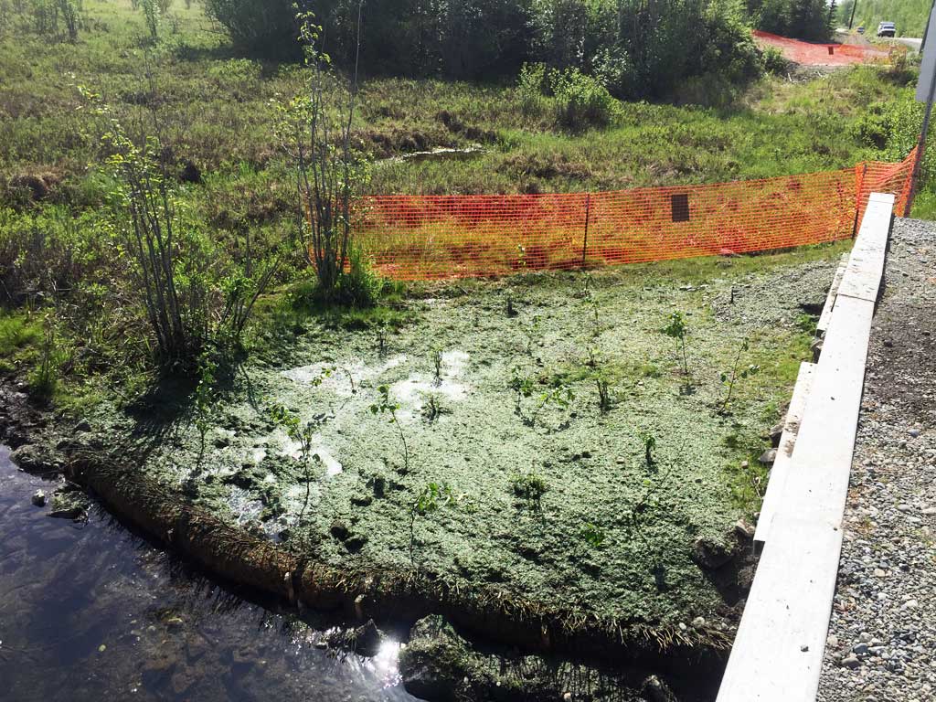
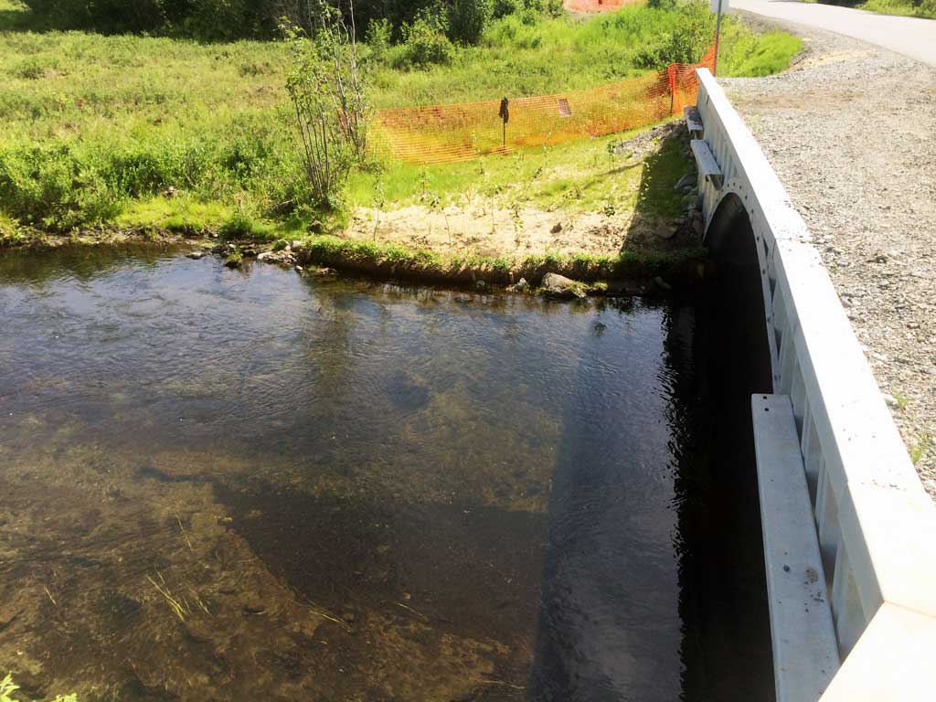
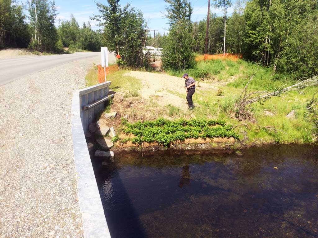
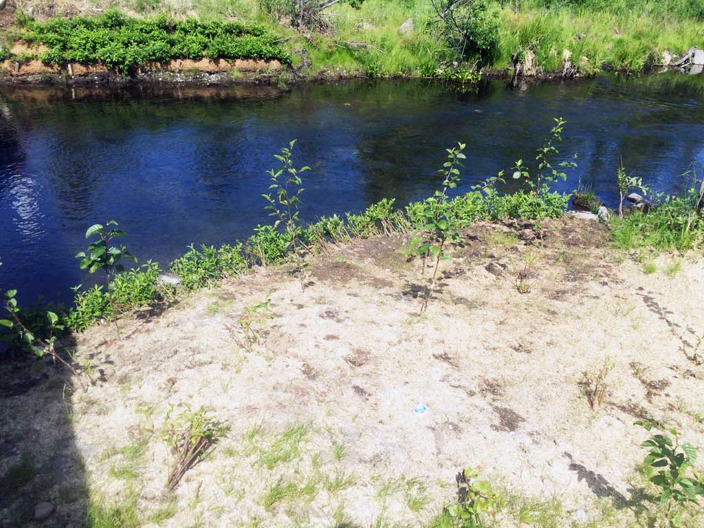
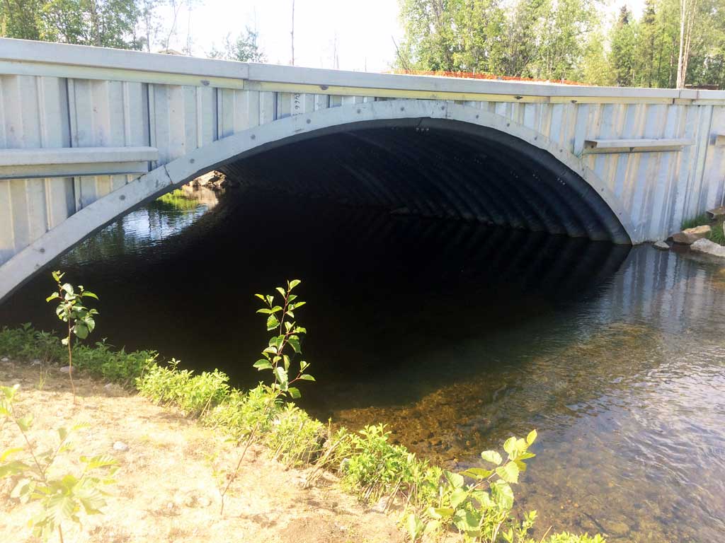
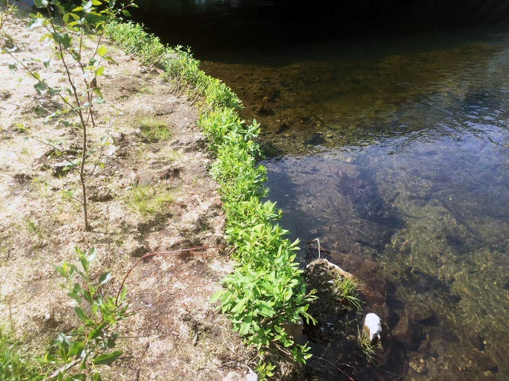
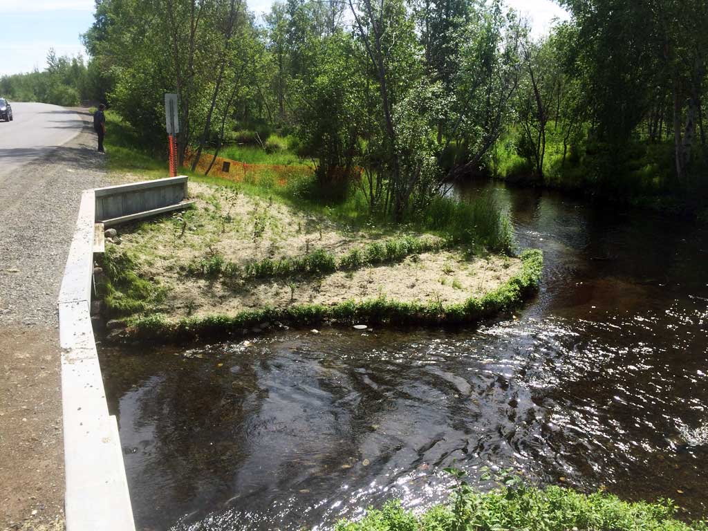
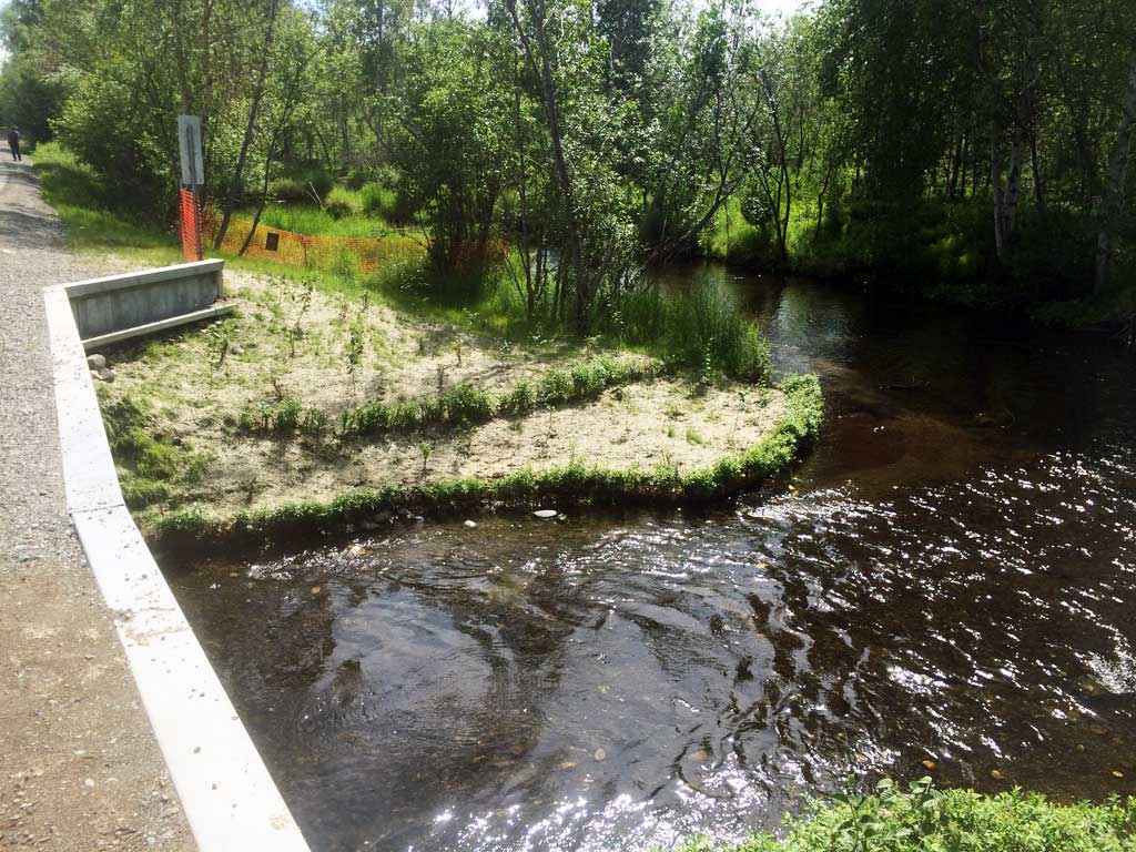
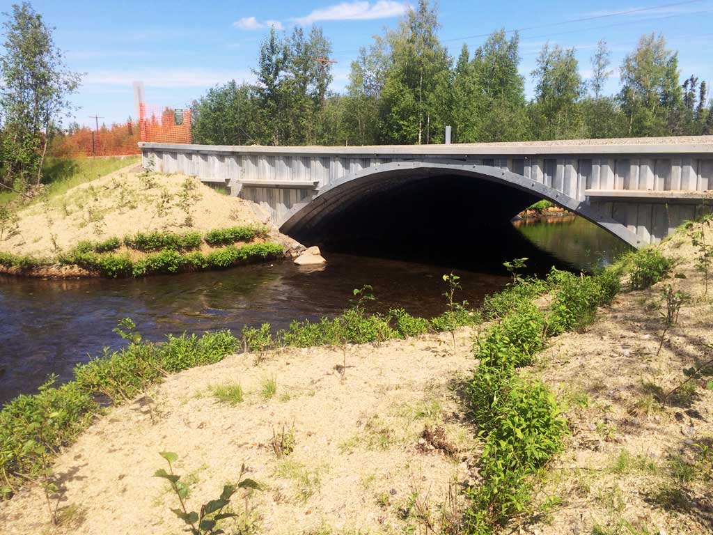
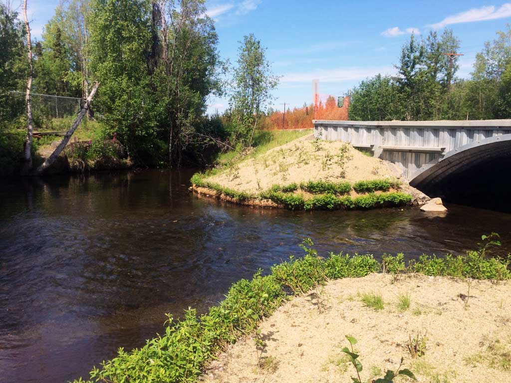
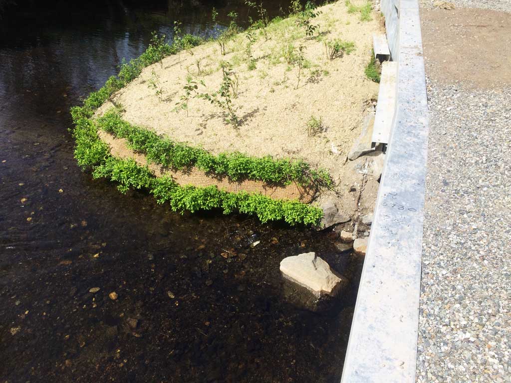
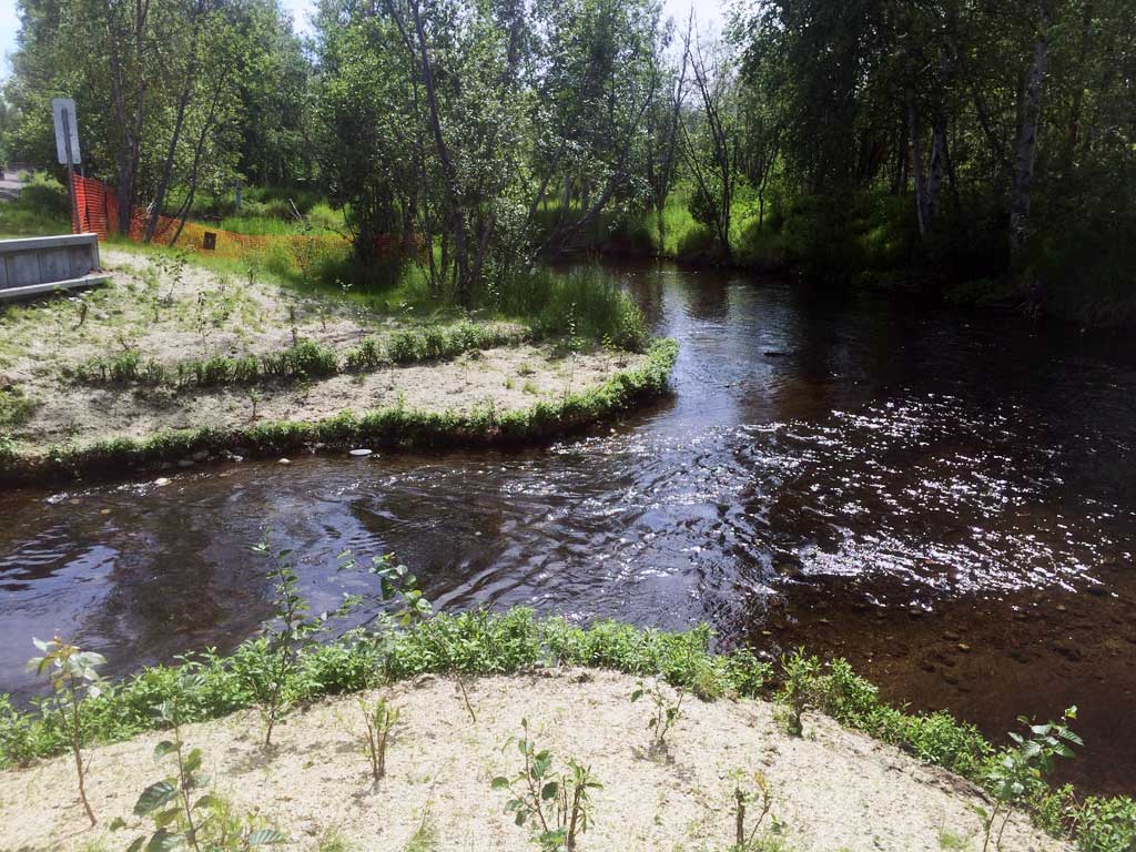
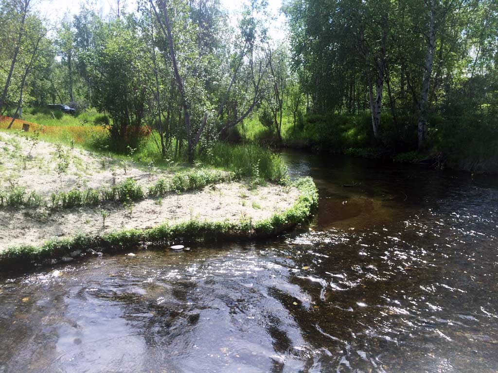
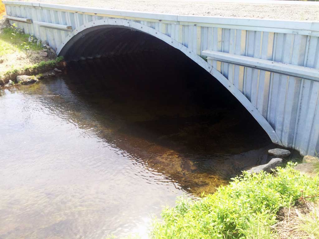
Comments: Culvert was replaced July 2015. Culvert reassessed April 2016. Large rainbow trout observed at outlet. Lots of sticklebacks in downstream backwatered old channel. Upstream water surface very flat with almost no grade control features except for the one directly upstream of the inlet.
Culvert Measurements
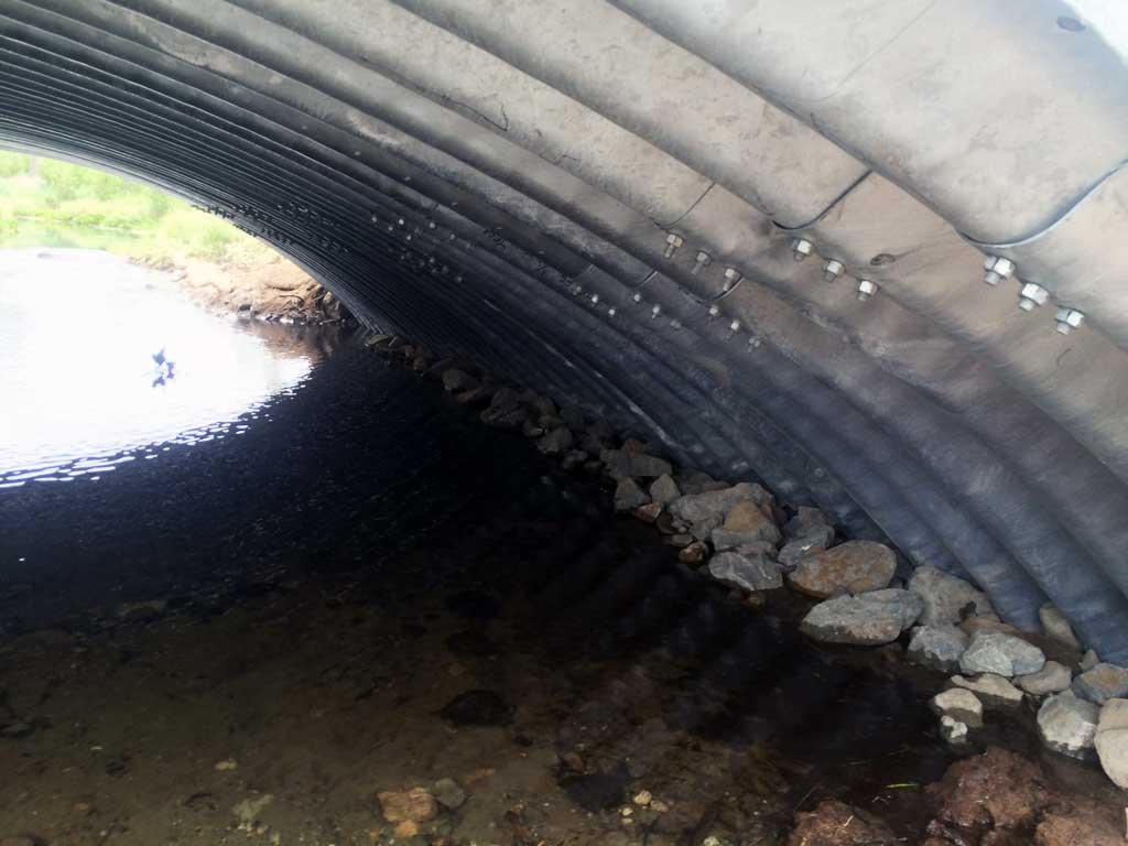
| ID: 1 | Structure Type: Closed-bottom arch (Structural steel plate) | Fish Passage Rating: | |||||||||||||||||||||||||||||||||||||||||
|
|
|
|||||||||||||||||||||||||||||||||||||||||
Comments: Could not access any features on the top of the pipe due to the headwall end cap. Slope is water surface gradient though culvert. Substrate gradient thought culvert is -0.05% |
|||||||||||||||||||||||||||||||||||||||||||
Culvert Observations:
|
|||||||||||||||||||||||||||||||||||||||||||
Stream Measurements
|
|
| Stream Width Type | Distance From Crossing (ft) |
Stream Width (ft) |
|---|---|---|
| Upstream ordinary high water | 100.0 | 23.10 |
| Upstream ordinary high water | 200.0 | 23.00 |
| Upstream ordinary high water | 400.0 | 24.00 |
Elevations
| Locator ID | Culvert Number |
River Distance (ft)1 |
Distance From Crossing (ft)2 |
Relative Elevation (ft) |
|---|---|---|---|---|
| Road Elev | 100.81 | |||
| D/S Thalweg | 0.00 | 90.32 | ||
| D/S Water Surface Elev | 0.00 | 92.08 | ||
| D/S Water Surface Elev | 134.00 | 92.26 | ||
| D/S Grade Ctrl (Thalweg) | 134.00 | 91.65 | ||
| D/S Water Surface Elev | 245.00 | 92.50 | ||
| D/S Thalweg (End of outlet riffle) | 245.00 | 90.78 | ||
| D/S Water Surface Elev | 261.00 | 92.60 | ||
| D/S Thalweg (Middle of outlet riffle) | 261.00 | 91.82 | ||
| Outlet Culvert Top (Not a reliable elevation due to headwall end cap!) | 279.00 | 99.09 | ||
| D/S Water Surface Elev | 279.00 | 92.65 | ||
| Outlet Invert (On substrate, top of outlet riffle) | 279.00 | 91.44 | ||
| Inlet Culvert Invert (On substrate, 1st resting) | 320.80 | 89.44 | ||
| Inlet Culvert Top (Not a reliable elevation due to headwall endcap!) | 320.80 | 98.78 | ||
| U/S Water Surface Elev | 320.80 | 92.72 | ||
| U/S Grade Ctrl (Thalweg) | 365.80 | 90.99 | ||
| U/S Water Surface Elev | 365.80 | 92.68 | ||
| U/S Water Surface Elev (Stream gradient) | 424.80 | 92.73 | ||
| U/S Water Surface Elev (Stream gradient) | 620.80 | 92.72 |
Notes:
- River distance is measured continuously throughout the survey reach along the thalweg of the stream.
- Measured from each end of the crossing along the thalweg of the stream.
Fish Sampling Efforts
| Gear Type: Minnow Trap (A) | Trap Duration(h): 3.15 | |
| Comments: Trap set about 200 feet upstream of culvert | ||
| Gear Type: Minnow Trap (B) | Trap Duration(h): 3.15 | |
| Comments: Trap set about 15 feet downstream of outlet. | ||
Fish Observations
| Species: adult threespine stickleback | Life History: Unknown | ||
| Total Fish Observed: 13 | Fish Measured: | Fork Lengths (mm) Min: Max: Mean: | |
| Collected/Observed by Gear Type: Downstream Minnow Trap (3) Upstream Minnow Trap (10) | |||
Photos


Questions or comments about this report can be directed to dfg.dsf.webmaster@alaska.gov