Fish Passage Site 20501433
Coordinates (dec. deg.): 61.70440°, -150.00311°
Legal Description: S019N004W28
Region: South Central
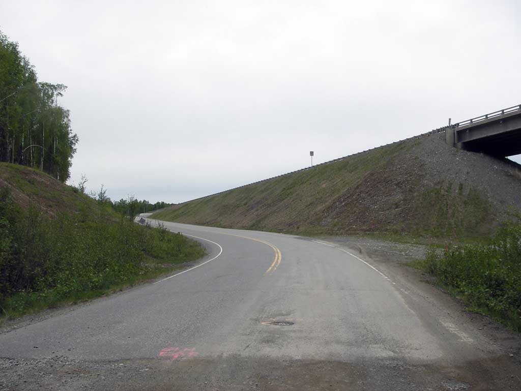
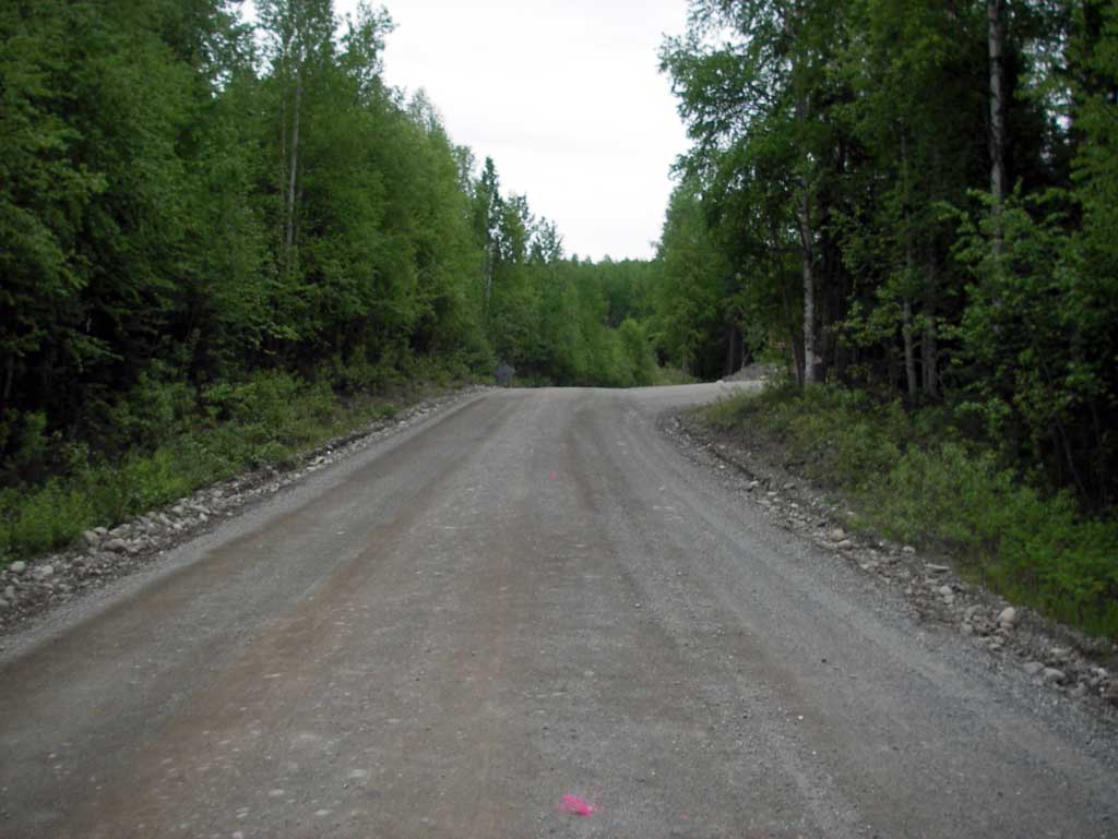
Road Name: BUCKINGHAM PALACE Road
Datum: NAD83
Quad Name / ITM: Tyonek C-1
AWC Stream #: 247-41-10100-2231-3080
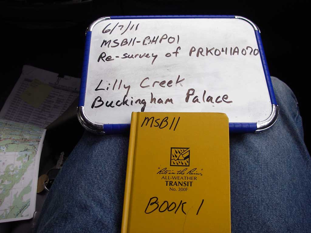
Stream Name: Lilly Creek
Elevation:
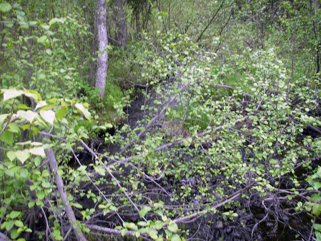
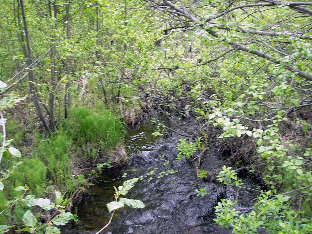
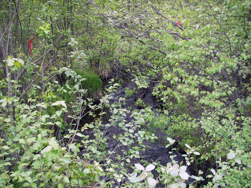
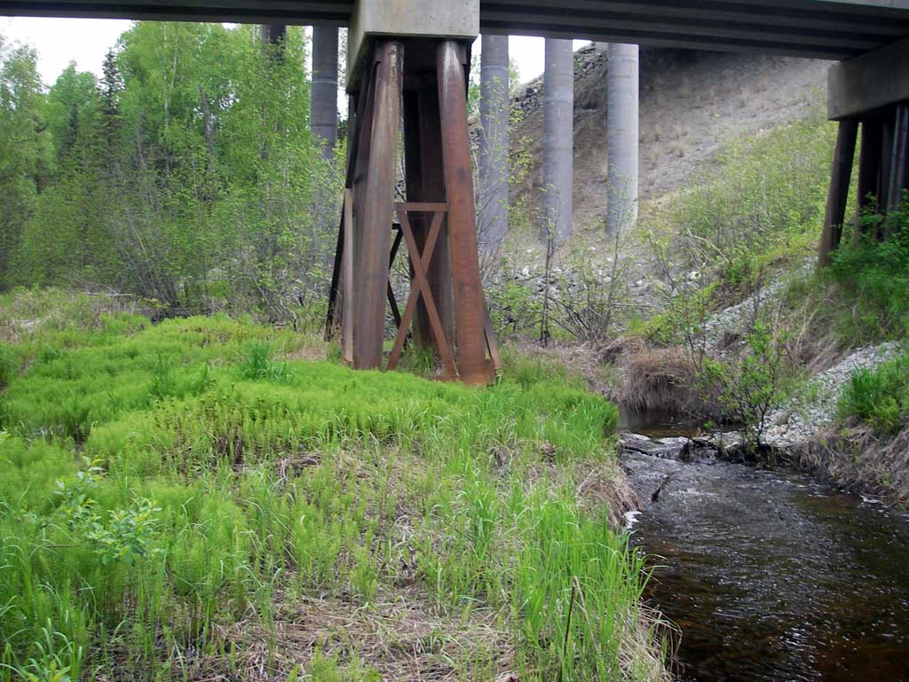
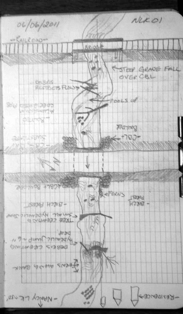
Site Comments: SUSITNA RIVER WATERSHED, THIS SITE IS WEST OF PARKS HWY AT WHITES CROSSING
arrow to the right of the survey date below to choose a different report for this site.
Survey MSB11-BHP01
Project Supervisor: Gillian O'Doherty, Alaska Department of Fish and Game
— Anchorage, AK
Observers: John Greuey, Abraham Gioffre
Overall Fish Passage Rating:
Tidal: No
Backwatered: No
Step Pools: No
Construction Year:
Site Observations:
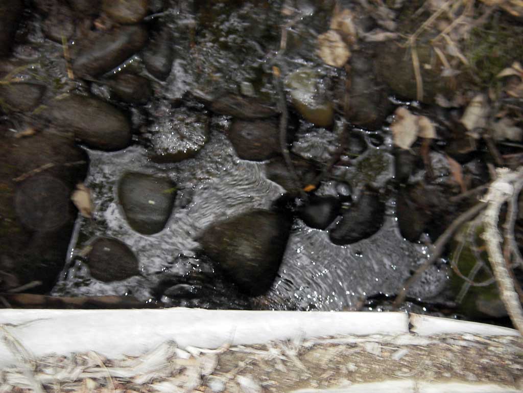
- Improper bedding
- Sediment accumulation
- Woody Debris
- Culvert gradient red
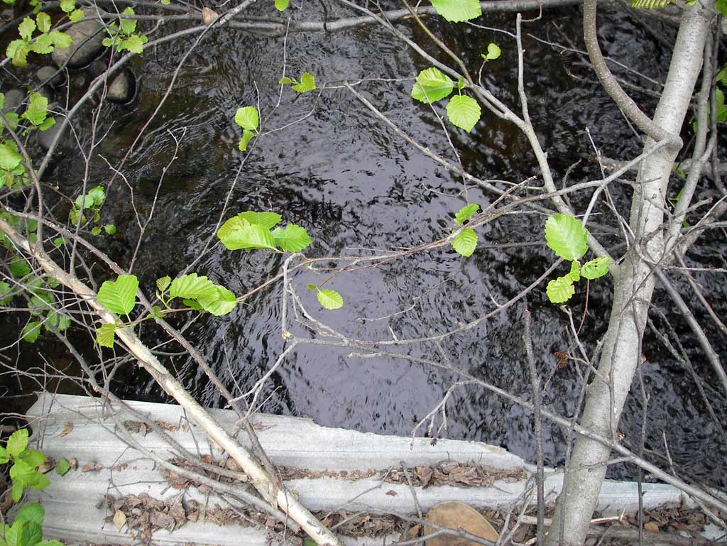
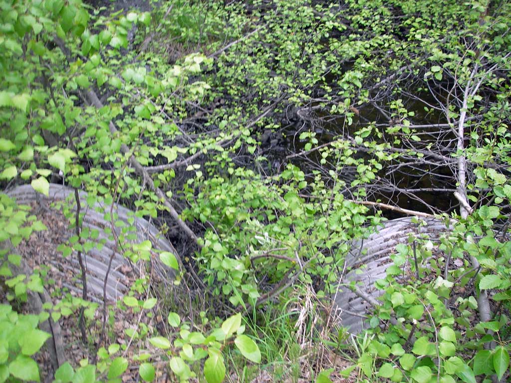
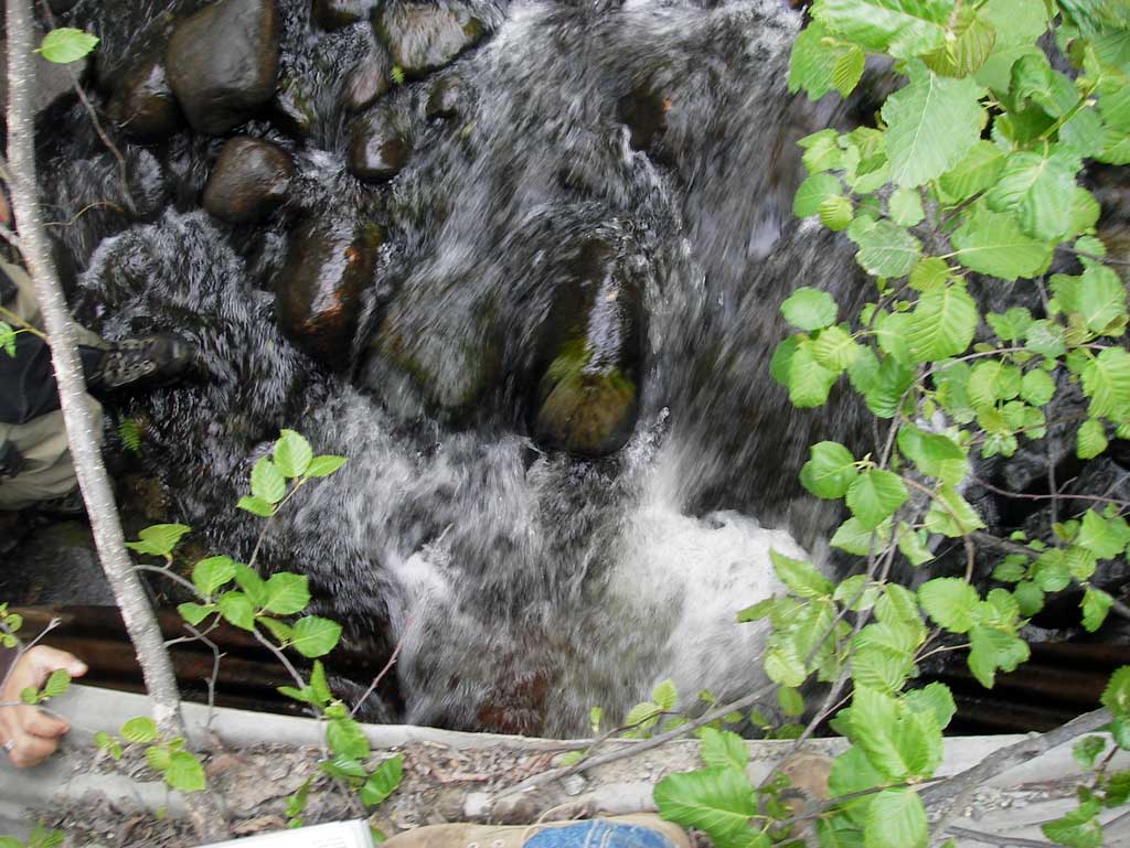
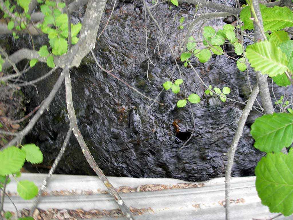
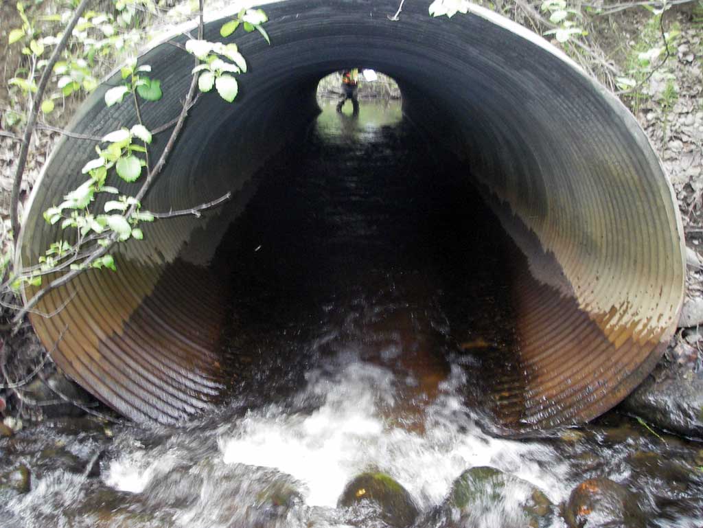
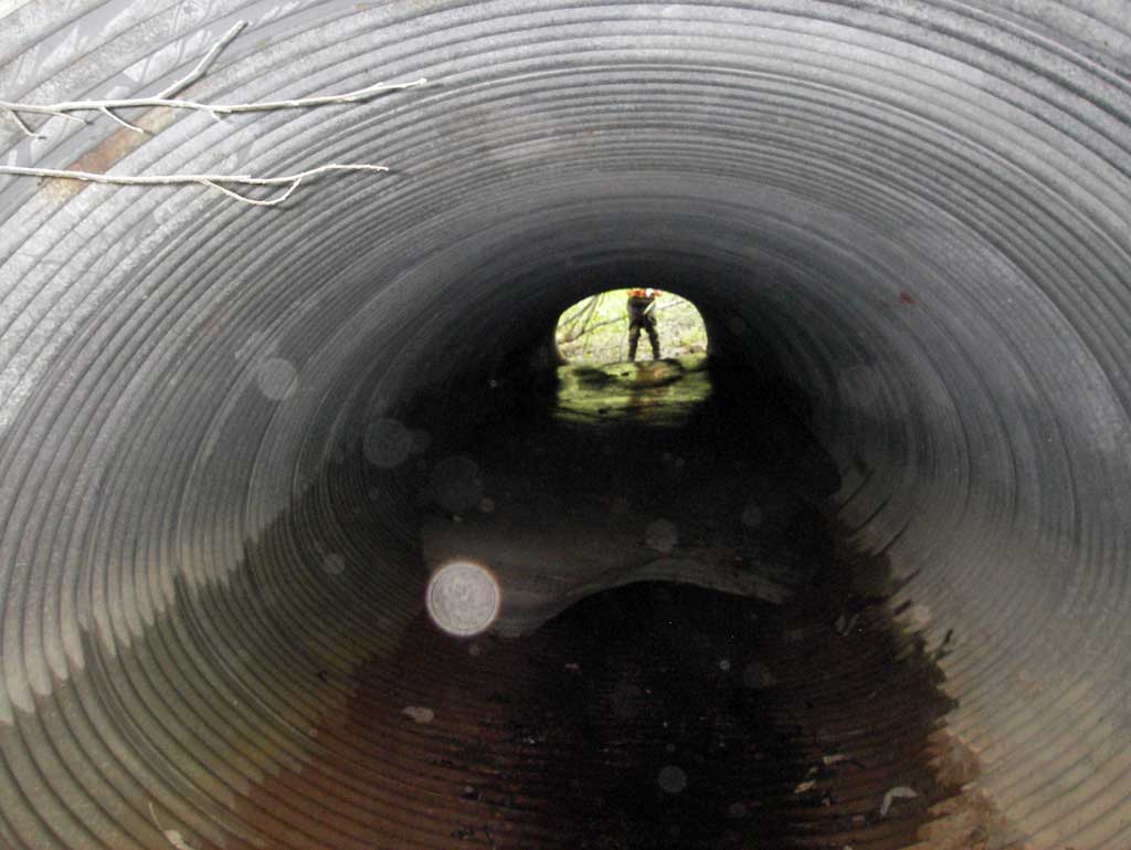
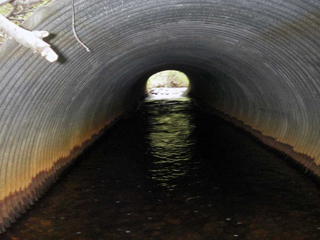
Comments: Pipes sag a little in the middle. Pipes appeared to be either smashed circular or oval shaped pipes. Pipe 2 inlet accepts majority of flow although at outlet the thalweg switches to pipe 1 outlet area. Upst channel area has been altered with railroad bridge and Parks Highway overpass fill.
Culvert Measurements
| ID: 1 | Structure Type: Oval (Corrugated steel) | Fish Passage Rating: | ||||||||||||||||||||||||||||||||||||||||||
|
|
|
||||||||||||||||||||||||||||||||||||||||||
Culvert Observations:
|
||||||||||||||||||||||||||||||||||||||||||||
| ID: 2 | Structure Type: Oval (Corrugated steel) | Fish Passage Rating: | ||||||||||||||||||||||||||||||||||||||||||
|
|
|
||||||||||||||||||||||||||||||||||||||||||
Culvert Observations:
|
||||||||||||||||||||||||||||||||||||||||||||
Stream Measurements
|
|
| Stream Width Type | Distance From Crossing (ft) |
Stream Width (ft) |
|---|---|---|
| Downstream ordinary high water | 68.0 | 9.50 |
| Downstream ordinary high water | 95.0 | 6.65 |
| Downstream ordinary high water | 125.0 | 8.50 |
Elevations
| Locator ID | Culvert Number |
River Distance (ft)1 |
Distance From Crossing (ft)2 |
Relative Elevation (ft) |
|---|---|---|---|---|
| D/S Grade Ctrl (Thalweg) (Bottom of riffle) | 0.00 | 88.20 | ||
| D/S Water Surface Elev (Used for stream gradient) | 0.00 | 88.51 | ||
| D/S Grade Ctrl (Thalweg) | 29.00 | 89.06 | ||
| D/S Water Surface Elev | 29.00 | 89.33 | ||
| D/S Grade Ctrl (Thalweg) | 56.00 | 89.92 | ||
| D/S Water Surface Elev (Used for stream gradient) | 56.00 | 90.10 | ||
| Outlet Invert | 2 | 77.00 | 90.26 | |
| Outlet Invert | 1 | 77.00 | 90.59 | |
| D/S Water Surface Elev (Water surface at outlet) | 1 | 77.00 | 90.83 | |
| D/S Water Surface Elev | 2 | 77.00 | 91.10 | |
| Outlet Culvert Top | 1 | 77.00 | 94.86 | |
| Outlet Culvert Top | 2 | 77.00 | 95.01 | |
| Road Elev | 105.00 | 99.75 | ||
| Inlet Culvert Top | 2 | 133.40 | 96.29 | |
| Inlet Culvert Top | 1 | 133.40 | 96.80 | |
| Inlet Culvert Invert | 2 | 133.40 | 91.21 | |
| U/S Water Surface Elev (Water surface at inlet) | 2 | 133.40 | 91.71 | |
| Inlet Culvert Invert | 1 | 133.40 | 91.72 | |
| U/S Water Surface Elev (Water surface at inlet) | 1 | 133.40 | 91.75 | |
| U/S Grade Ctrl (Thalweg) | 152.80 | 92.08 | ||
| U/S Water Surface Elev | 152.80 | 92.79 |
Notes:
- River distance is measured continuously throughout the survey reach along the thalweg of the stream.
- Measured from each end of the crossing along the thalweg of the stream.
Fish Sampling Efforts
No fish sampling occurred during this survey.
Fish Observations
No fish observations occurred during this survey.
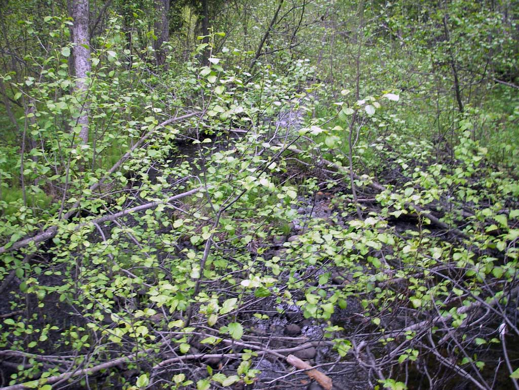
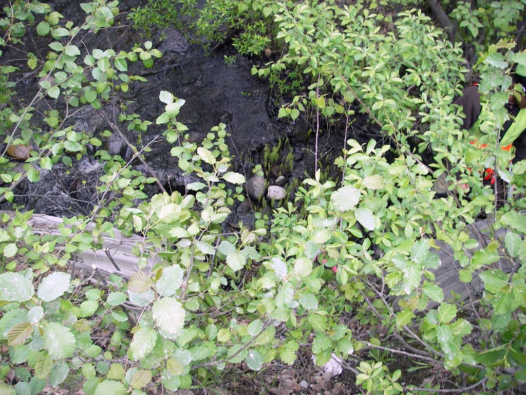
Photos

Questions or comments about this report can be directed to dfg.dsf.webmaster@alaska.gov