Fish Passage Site 20501430
Coordinates (dec. deg.): 61.58418°, -149.74304°
Legal Description: S017N003W12
Region: South Central
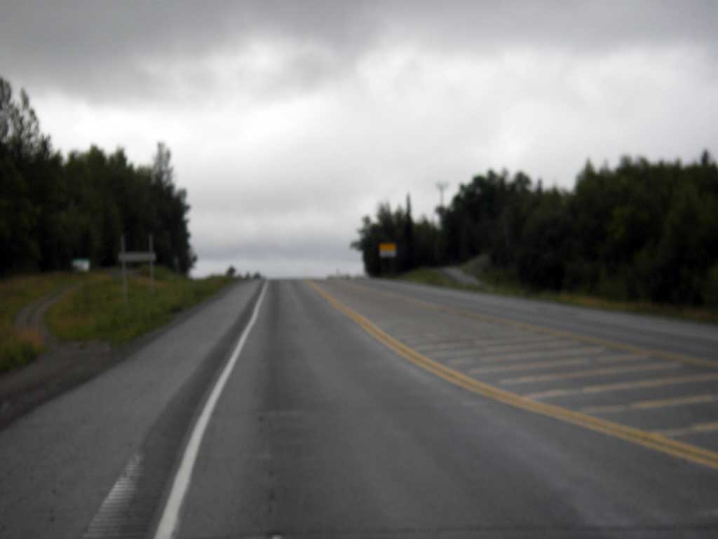
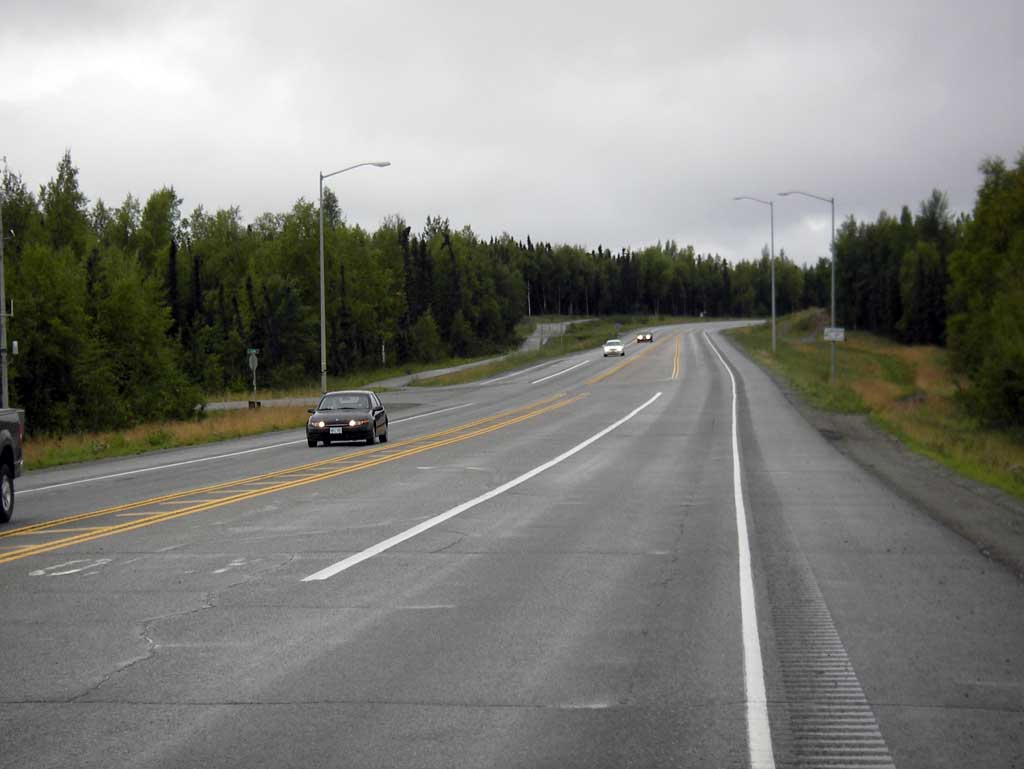
Road Name: PARKS HIGHWAY
Datum: NAD83
Quad Name / ITM: Anchorage C-8
AWC Stream #: 247-50-10330-2050-3025
Stream Name: Meadow Creek tributary
Elevation:
Site Comments: None
arrow to the right of the survey date below to choose a different report for this site.
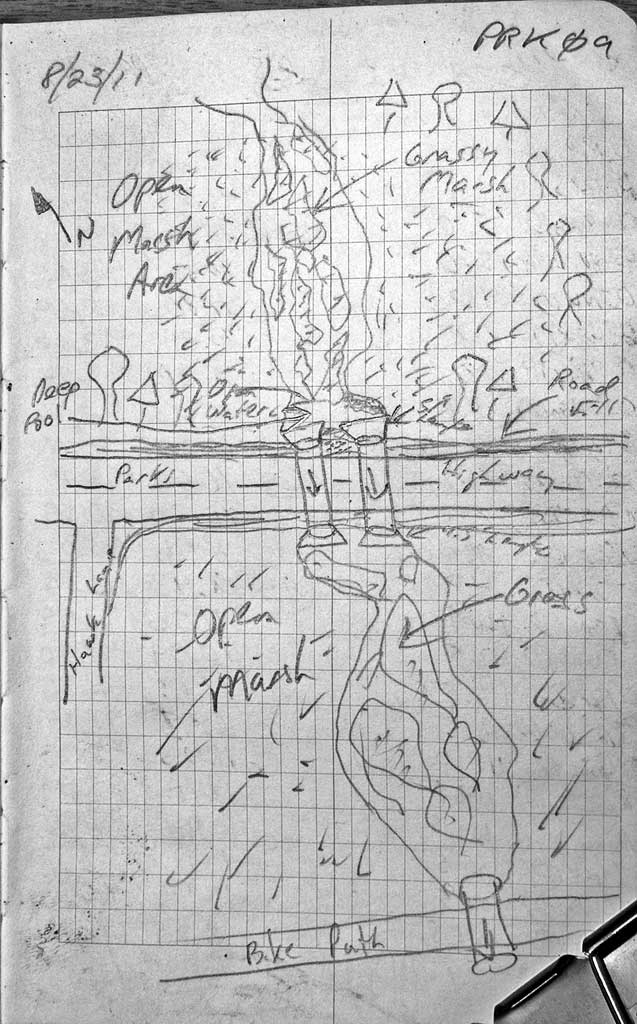
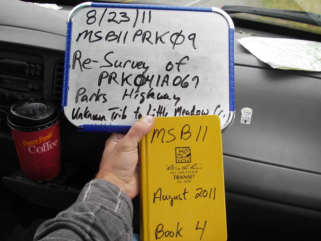
Survey MSB11-PRK09
Project Supervisor: Gillian O'Doherty, Alaska Department of Fish and Game
— Anchorage, AK
Observers: John Greuey, Abraham Gioffre
Overall Fish Passage Rating:
Tidal: No
Backwatered: Yes
Step Pools: No
Construction Year:
Site Observations:
- None of this type
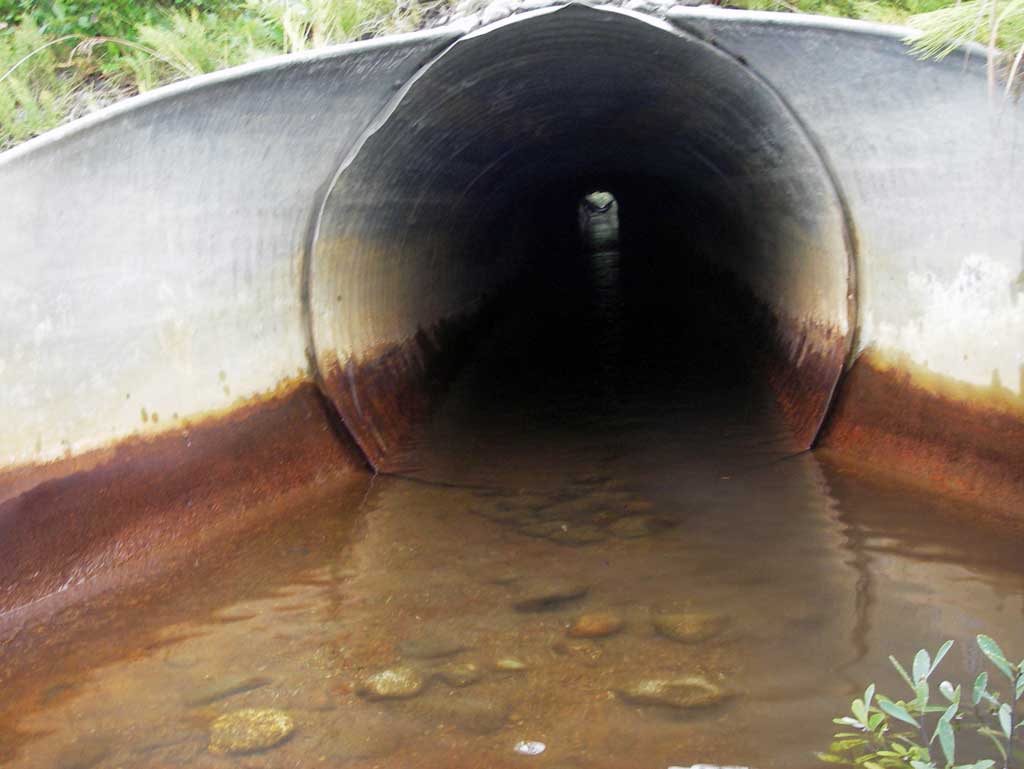
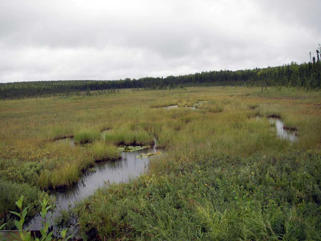
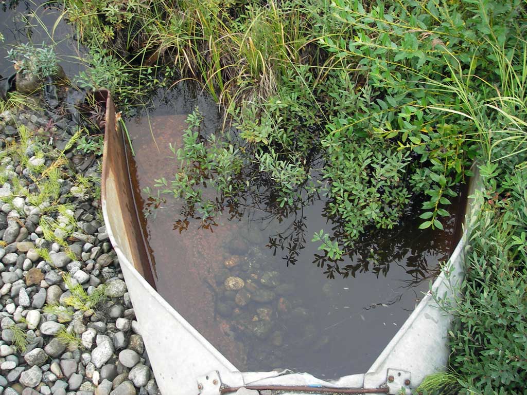
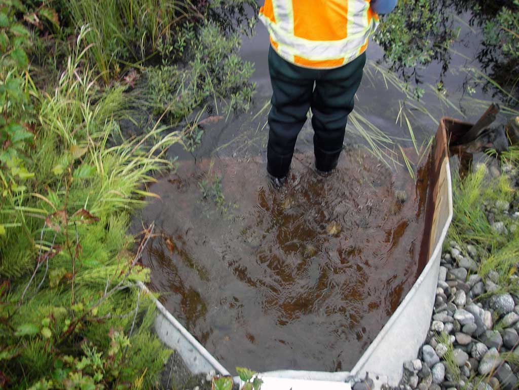
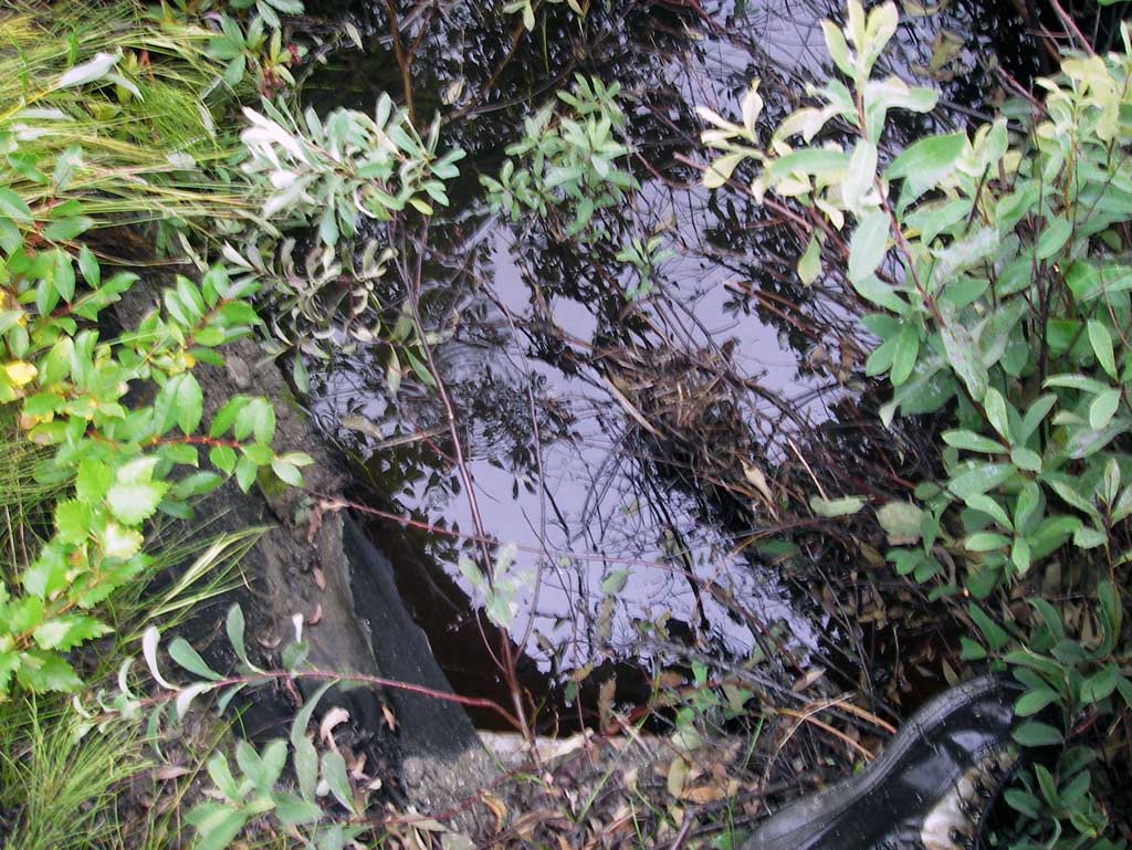
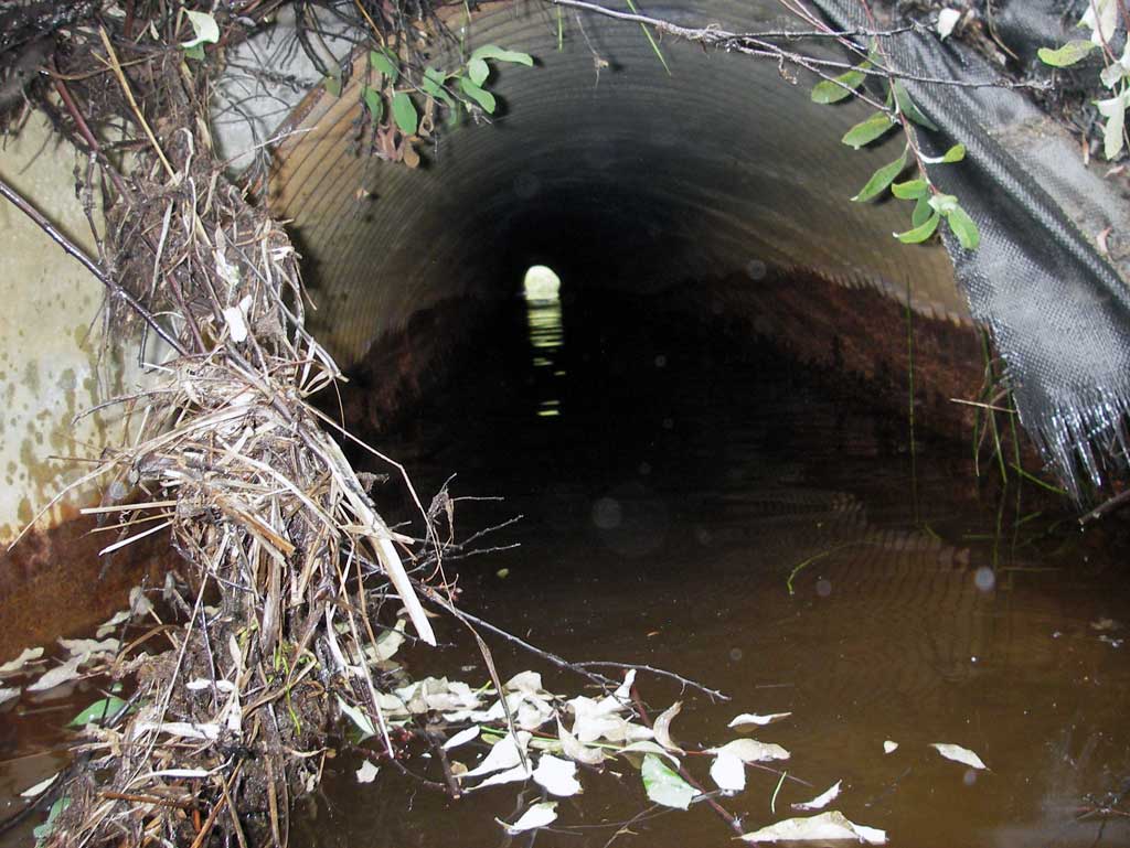
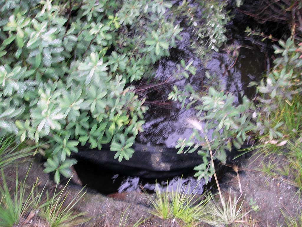
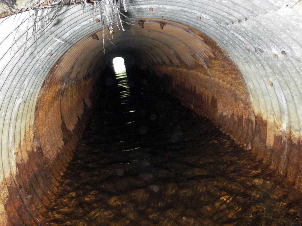
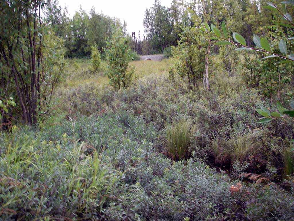
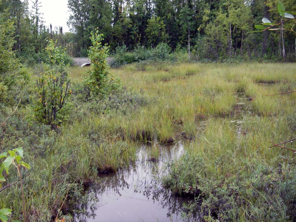
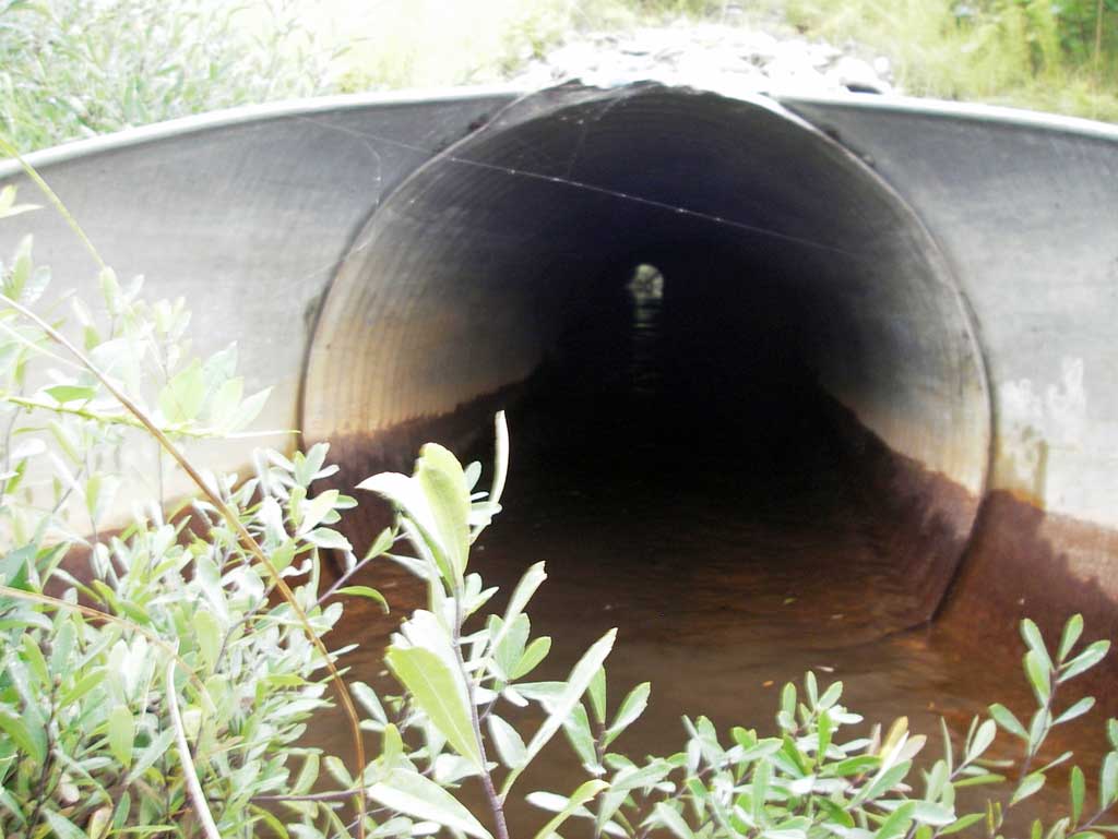
Comments: Marshland upst and dwst so no stream widths or gradients collected. Water surfaces throughout the pipes had very minimal change and was still so site was labeled backwatered. Culverts connect two flat slough flows within a marsh area.
Culvert Measurements
| ID: 1 | Structure Type: Circular pipe (Corrugated steel) | Fish Passage Rating: | |||||||||||||||||||||||||||||||||||||||||
|
|
|
|||||||||||||||||||||||||||||||||||||||||
Culvert Observations:
|
|||||||||||||||||||||||||||||||||||||||||||
| ID: 2 | Structure Type: Circular pipe (Corrugated steel) | Fish Passage Rating: | |||||||||||||||||||||||||||||||||||||||||
|
|
|
|||||||||||||||||||||||||||||||||||||||||
Stream Measurements
|
|
No stream width data available.
Elevations
| Locator ID | Culvert Number |
River Distance (ft)1 |
Distance From Crossing (ft)2 |
Relative Elevation (ft) |
|---|---|---|---|---|
| D/S Thalweg (Dwst profile point) | 0.00 | 92.45 | ||
| D/S Water Surface Elev (Dwst profile point water surface) | 0.00 | 93.68 | ||
| D/S Water Surface Elev (End of outlet apron water surface on pipe 1) | 1 | 5.00 | 93.68 | |
| D/S Water Surface Elev (End of apron water surface on pipe 2) | 2 | 5.00 | 93.69 | |
| Misc. (Outlet end of apron invert on pipe 1) | 1 | 5.00 | 92.83 | |
| Misc. (Outlet end of apron invert on pipe 2) | 2 | 5.00 | 92.86 | |
| Outlet Invert (Outlet invert on pipe of pipe 1) | 1 | 10.00 | 92.69 | |
| Outlet Invert (Outlet invert on pipe of pipe 2) | 2 | 10.00 | 92.80 | |
| D/S Water Surface Elev (Outlet water surface elevation of pipe 2) | 2 | 10.00 | 93.69 | |
| D/S Water Surface Elev (Outlet water surface elevation of pipe 1) | 1 | 10.00 | 93.68 | |
| Top of Pipe Outlet (Outlet TOP of pipe 1) | 1 | 10.00 | 95.48 | |
| Outlet Culvert Top (Outlet pipe 2) | 2 | 10.00 | 95.73 | |
| Top of Pipe Inlet (Inlet pipe1) | 1 | 10.00 | 96.06 | |
| Outlet Road Edge (Edge of Road) | 10.00 | 100.00 | ||
| Inlet Culvert Top (Inlet TOP of pipe 2) | 2 | 104.50 | 96.24 | |
| U/S Water Surface Elev (Inlet water surface of pipe 2) | 2 | 104.50 | 93.74 | |
| Inlet Culvert Invert (Inlet invert on pipe of pipe 2) | 2 | 104.50 | 93.16 | |
| Misc. (End of inlet apron invert of pipe 2) | 2 | 109.50 | 93.39 | |
| U/S Water Surface Elev (End of inlet apron water surface of pipe 2) | 2 | 109.50 | 93.74 | |
| U/S Water Surface Elev (Inlet water surface of pipe 1) | 1 | 111.50 | 93.70 | |
| Inlet Culvert Invert (Inlet invert on pipe of pipe 1) | 1 | 111.50 | 92.99 | |
| Misc. (End of inlet apron invert of pipe 1) | 1 | 116.50 | 93.36 | |
| U/S Water Surface Elev (End of apron inlet water surface of pipe 1) | 1 | 116.50 | 93.74 | |
| U/S Thalweg (Tailcrest) (Upst shallow pool near culvert inlet) | 117.00 | 92.76 |
Notes:
- River distance is measured continuously throughout the survey reach along the thalweg of the stream.
- Measured from each end of the crossing along the thalweg of the stream.
Fish Sampling Efforts
No fish sampling occurred during this survey.
Fish Observations
No fish observations occurred during this survey.
Photos
Questions or comments about this report can be directed to dfg.dsf.webmaster@alaska.gov