Fish Passage Site 20501427
Coordinates (dec. deg.): 61.68673°, -149.96953°
Legal Description: S019N004W34
Region: South Central
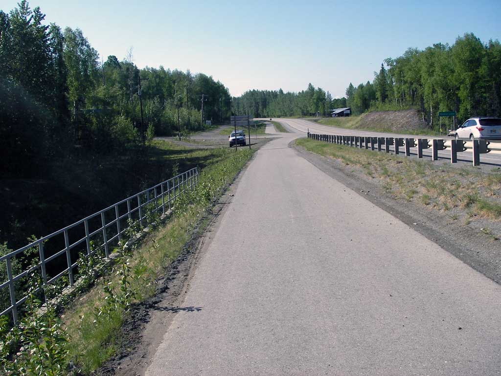
Road Name: Parks Highway
Datum: NAD83
Quad Name / ITM: Anchorage C-8
AWC Stream #: 247-41-10100-2231-3050
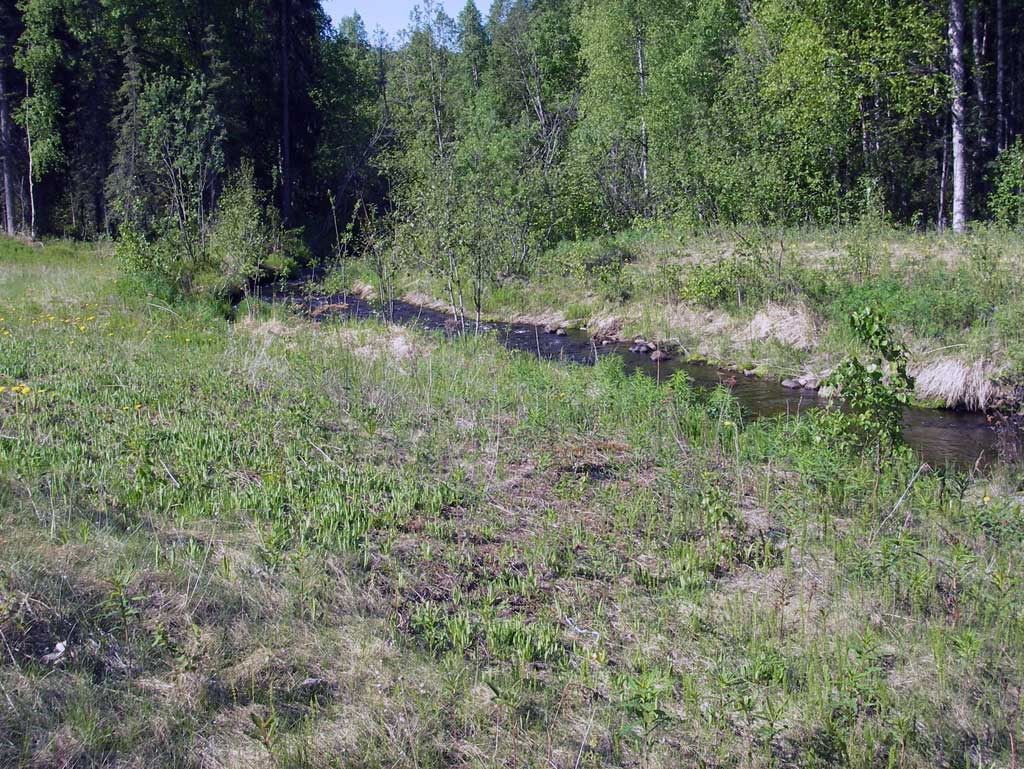
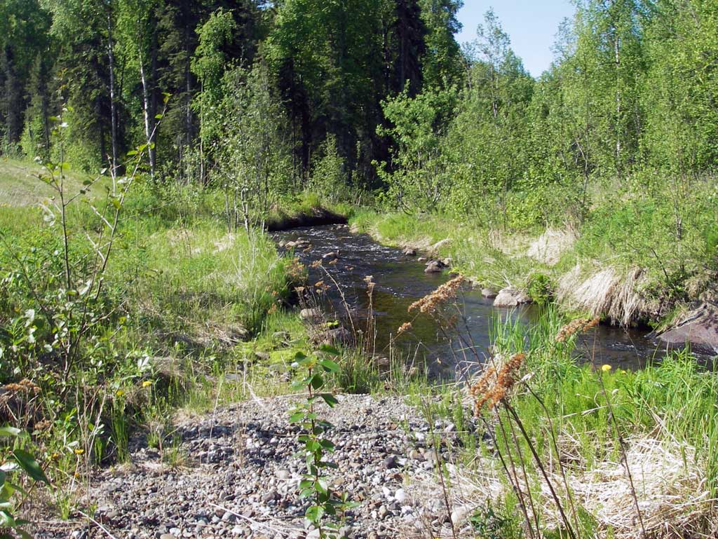
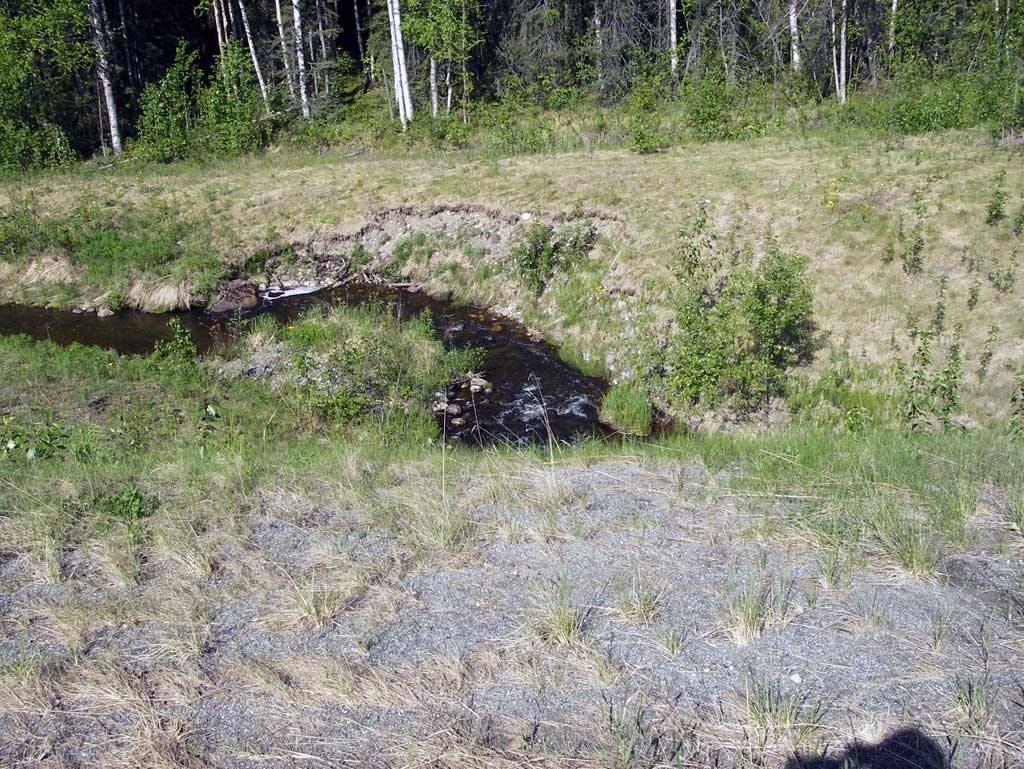
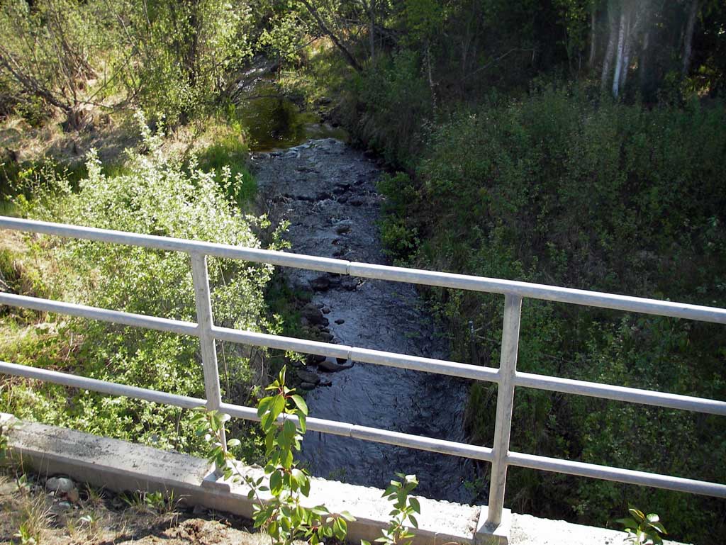
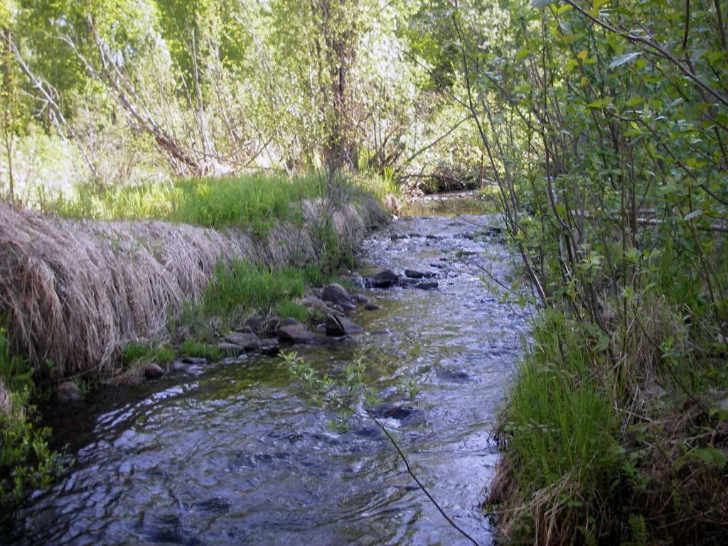
Stream Name: Nancy Creek
Elevation:
Site Comments: SUSITNA RIVER WATERSHED
arrow to the right of the survey date below to choose a different report for this site.
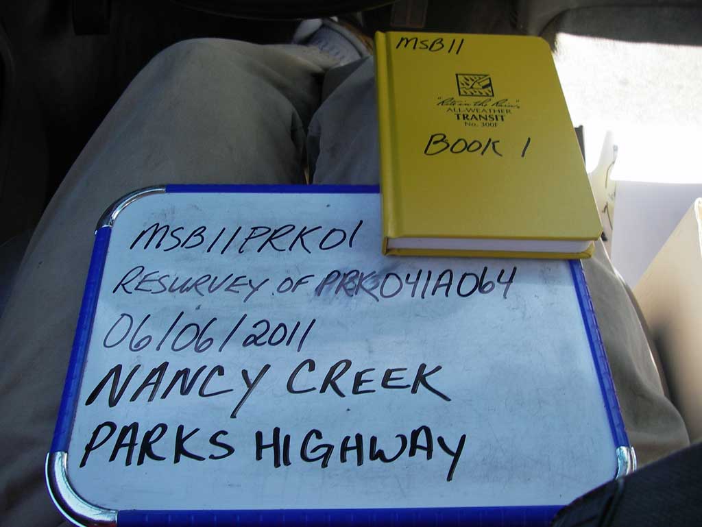
Survey MSB11-PRK01
Project Supervisor: Gillian O'Doherty, Alaska Department of Fish and Game
— Anchorage, AK
Observers: John Greuey, Abraham Gioffre
Overall Fish Passage Rating:
Tidal: No
Backwatered: No
Step Pools: No
Construction Year:
Site Observations:
- None of this type
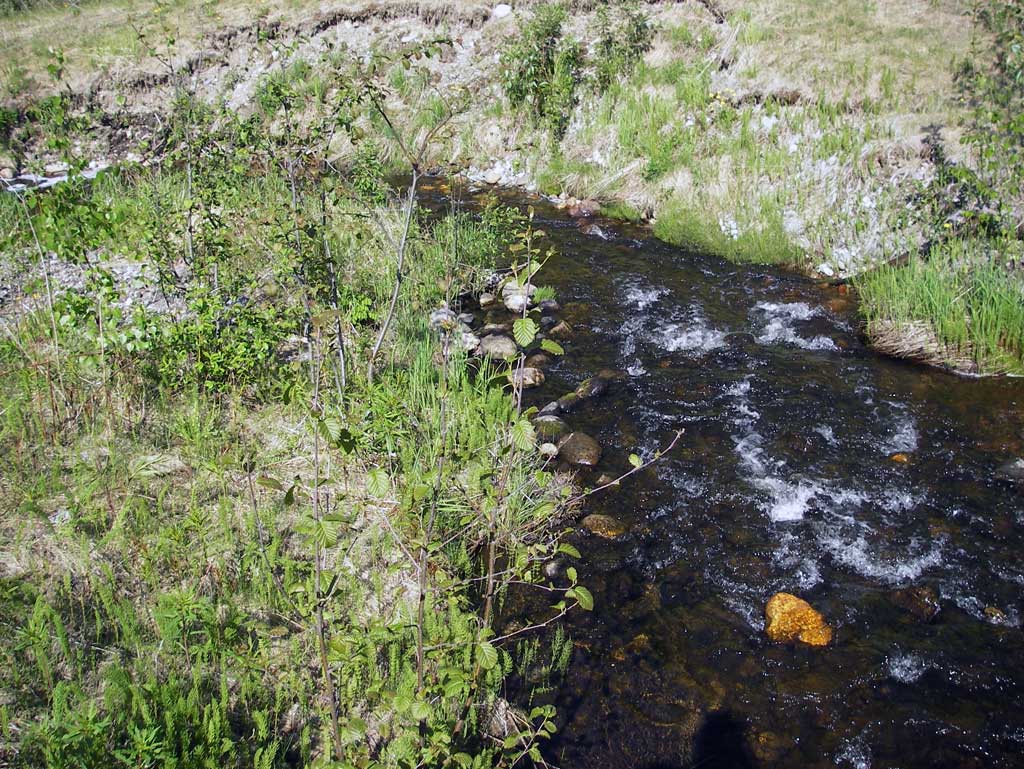
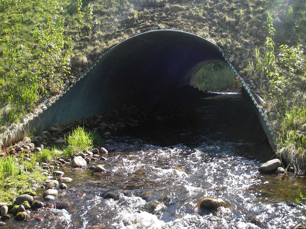
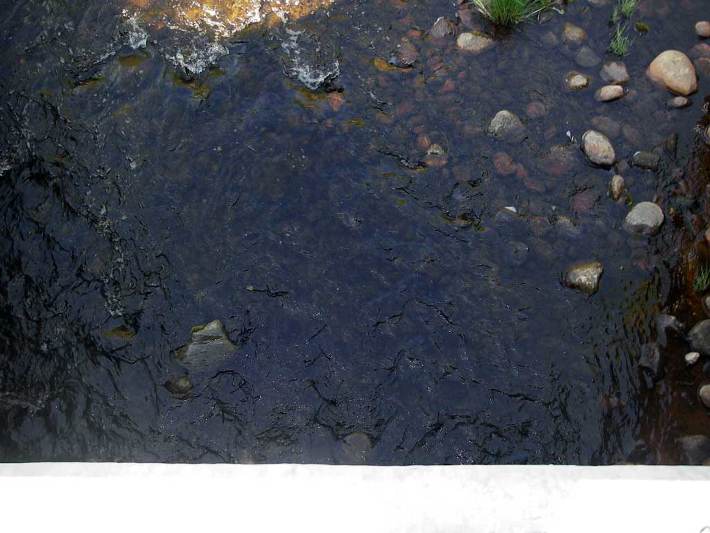
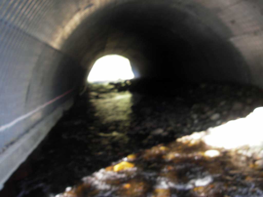
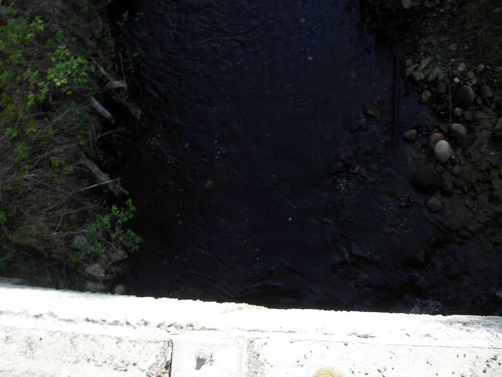
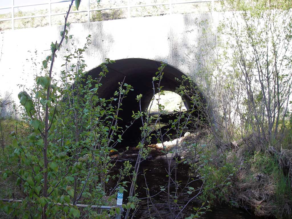
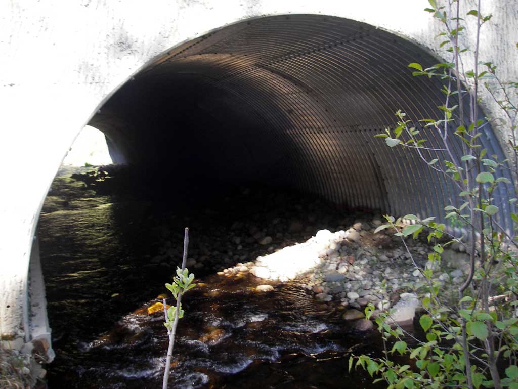
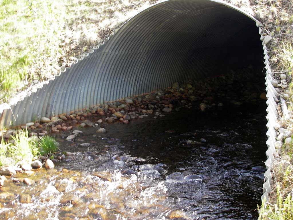
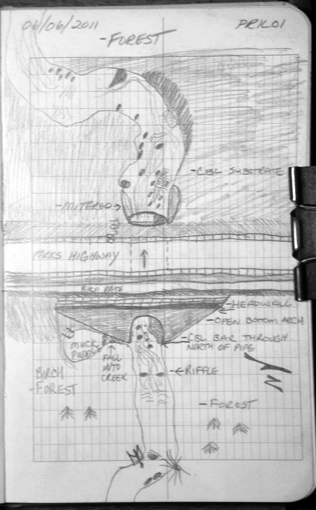
Comments: Old USGS crest stage gaging station located upst. Concrete footer of open arch culvert scoured approx 2' at inlet.
Culvert Measurements
| ID: 1 | Structure Type: Open-bottom arch (Corrugated steel) | Fish Passage Rating: | |||||||||||||||||||||||||||||||||||||||||
|
|
|
|||||||||||||||||||||||||||||||||||||||||
Culvert Observations:
|
|||||||||||||||||||||||||||||||||||||||||||
Stream Measurements
|
|
| Stream Width Type | Distance From Crossing (ft) |
Stream Width (ft) |
|---|---|---|
| Upstream ordinary high water | 90.0 | 9.30 |
| Upstream ordinary high water | 128.0 | 10.45 |
| Upstream ordinary high water | 167.0 | 10.20 |
Elevations
| Locator ID | Culvert Number |
River Distance (ft)1 |
Distance From Crossing (ft)2 |
Relative Elevation (ft) |
|---|---|---|---|---|
| D/S Grade Ctrl (Thalweg) (Top of riffle) | 0.00 | 99.13 | ||
| D/S Water Surface Elev (Tail Water Surface) | 0.00 | 99.38 | ||
| D/S Grade Ctrl (Thalweg) (Top of riffle) | 39.00 | 99.99 | ||
| D/S Water Surface Elev | 39.00 | 100.44 | ||
| D/S Water Surface Elev | 80.00 | 100.69 | ||
| D/S Grade Ctrl (Thalweg) | 80.00 | 100.14 | ||
| Outlet Invert | 195.00 | 102.11 | ||
| D/S Water Surface Elev (Water surface at outlet) | 195.00 | 102.56 | ||
| Road Elev | 245.00 | 123.39 | ||
| Inlet Culvert Invert | 304.90 | 103.81 | ||
| U/S Water Surface Elev (Water surface at inlet) | 304.90 | 104.49 | ||
| U/S Water Surface Elev (Water surface of upstream pool) | 318.90 | 104.53 | ||
| Max Pool Depth (Upstream max pool depth) | 318.90 | 102.55 |
Notes:
- River distance is measured continuously throughout the survey reach along the thalweg of the stream.
- Measured from each end of the crossing along the thalweg of the stream.
Fish Sampling Efforts
No fish sampling occurred during this survey.
Fish Observations
No fish observations occurred during this survey.
Photos

Questions or comments about this report can be directed to dfg.dsf.webmaster@alaska.gov