Fish Passage Site 20501424
Coordinates (dec. deg.): 62.04443°, -150.05978°
Legal Description: S023N004W32
Region: South Central
Road Name: Parks Highway
Datum: NAD83
Quad Name / ITM: Talkeetna A-1
AWC Stream #: 247-41-10200-2226
Stream Name: Susitna River tributary
Elevation:
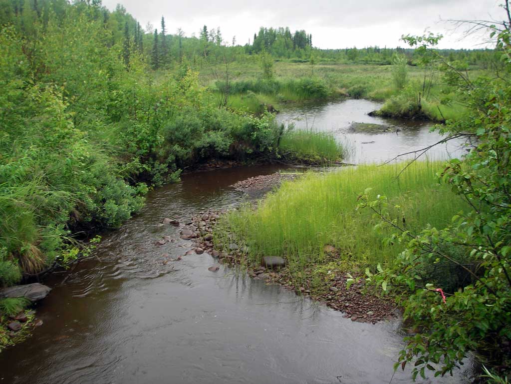
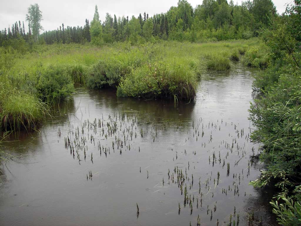
Site Comments: SUSITNA RIVER WATERSHED
arrow to the right of the survey date below to choose a different report for this site.
Survey MSB11-PRK03
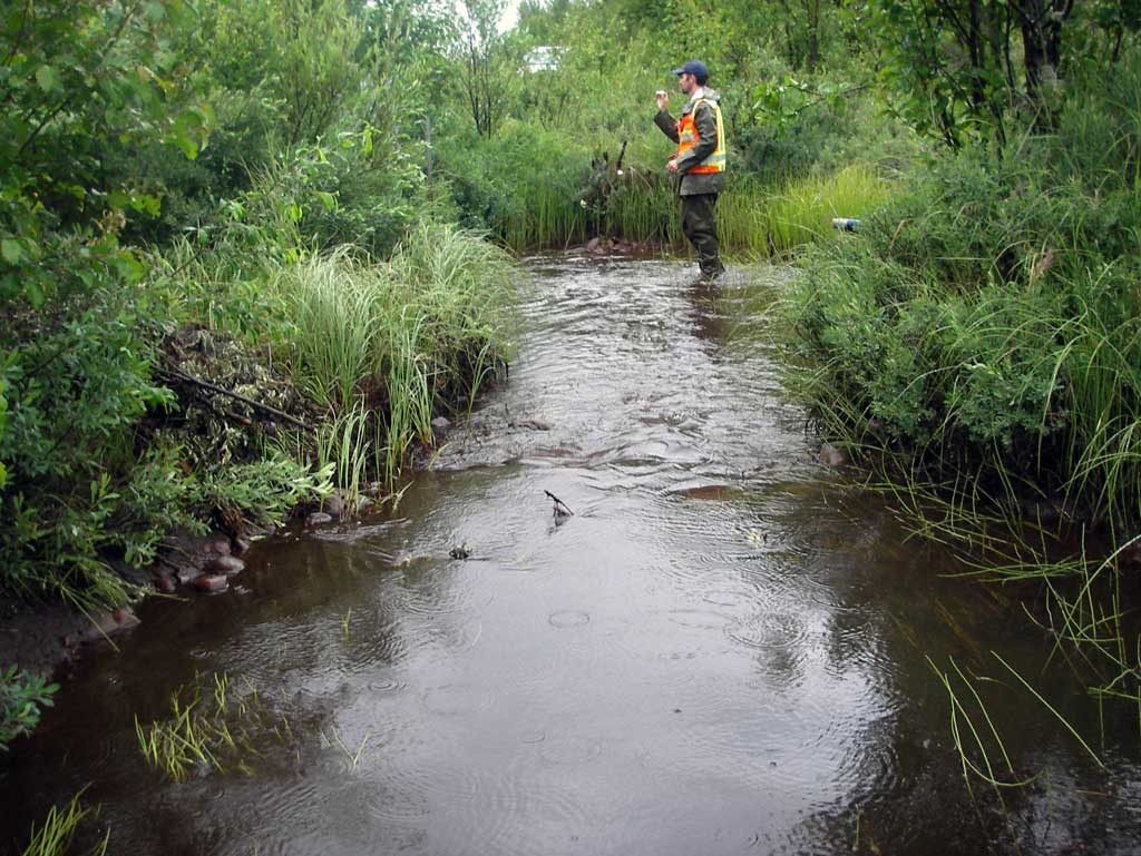
Project Supervisor: Gillian O'Doherty, Alaska Department of Fish and Game
— Anchorage, AK
Observers: John Greuey, Abraham Gioffre
Overall Fish Passage Rating:
Tidal: No
Backwatered: No
Step Pools: No
Construction Year:
Site Observations:
- Constriction ratio red
- Culvert sagging in middle
- Culvert gradient gray
- Mechanical damage or joints parting
- Beaver Activity
- Outfall height gray
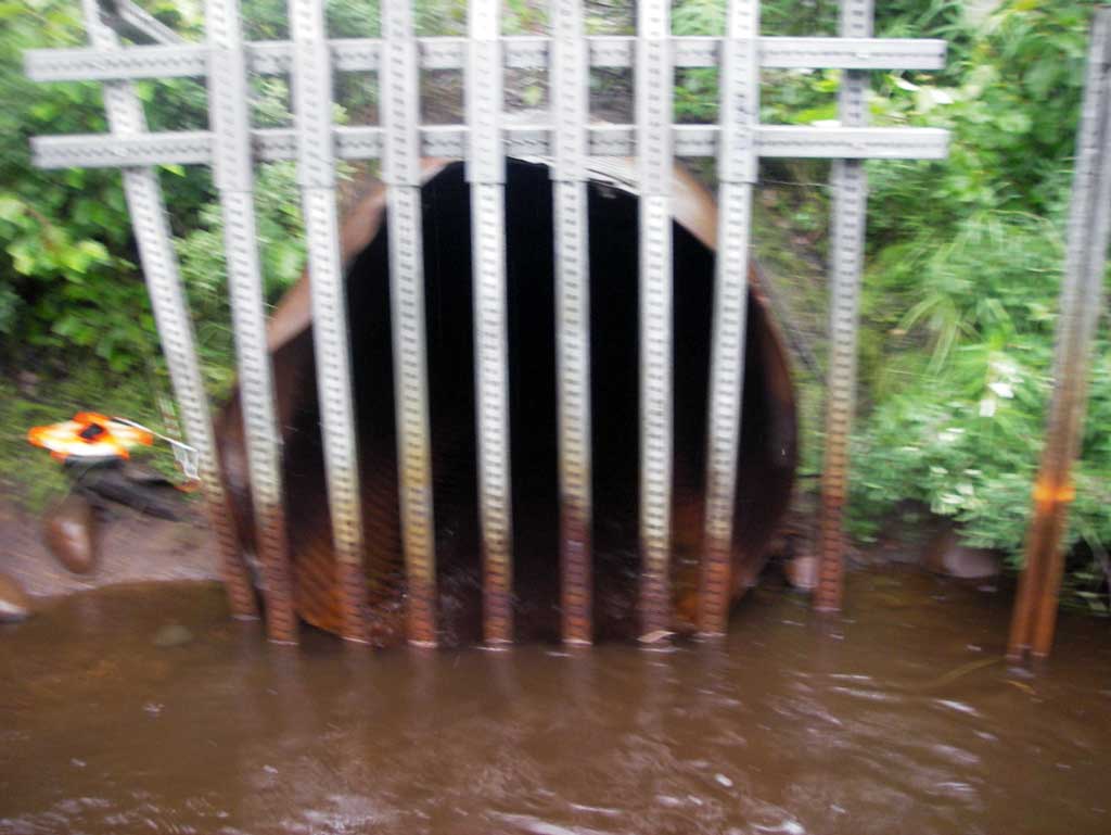
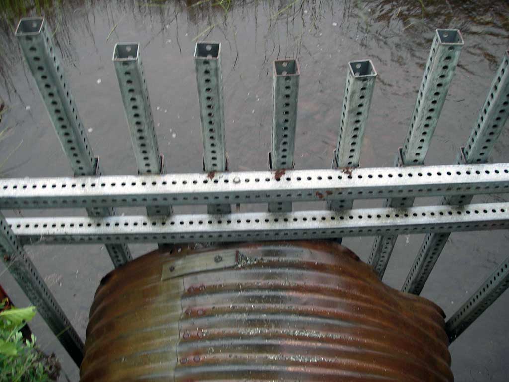
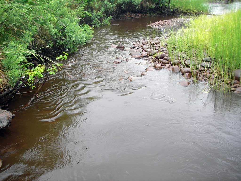
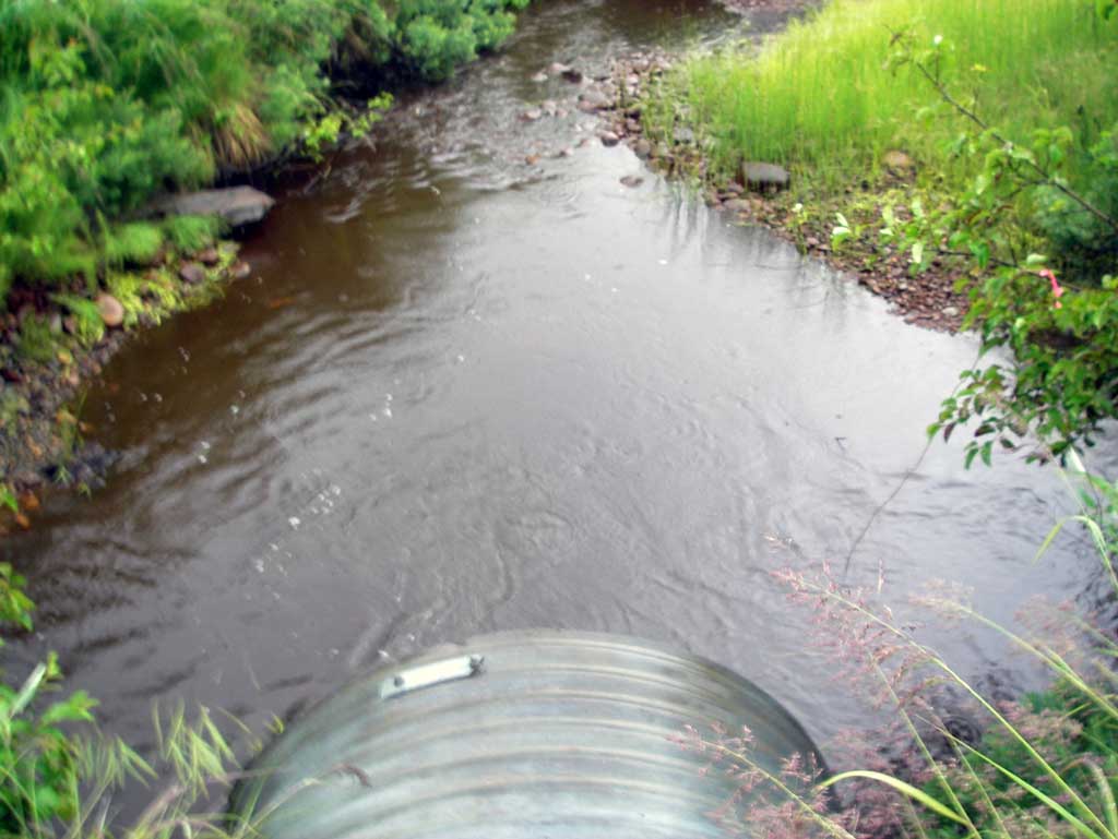
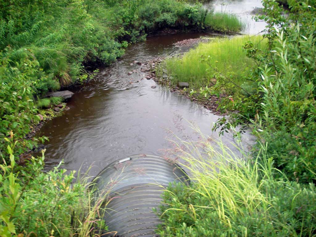
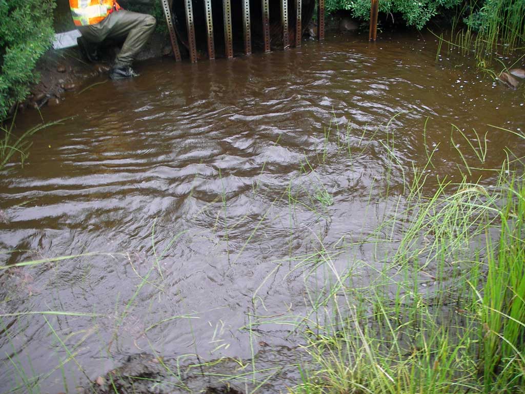
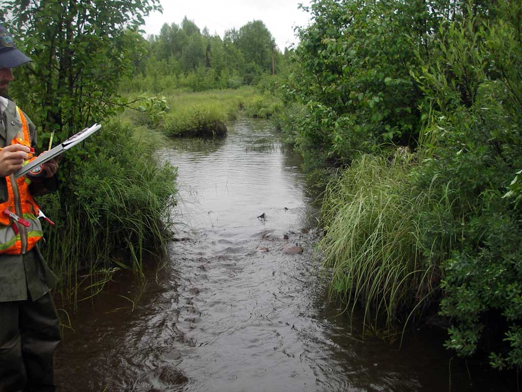
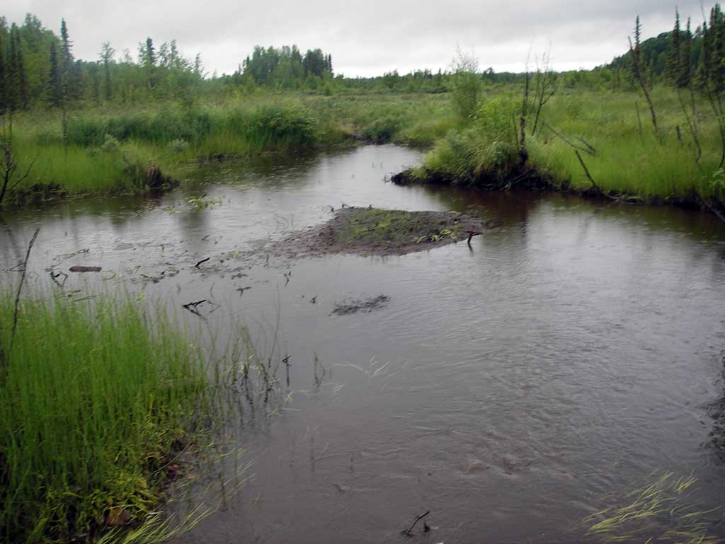
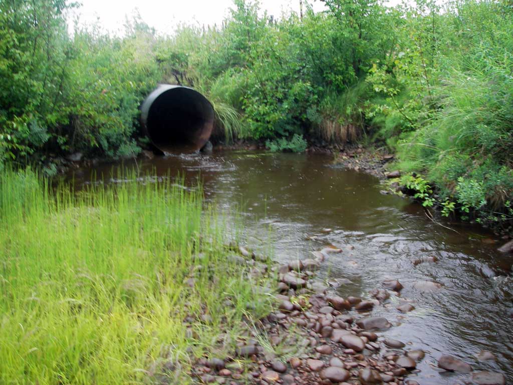
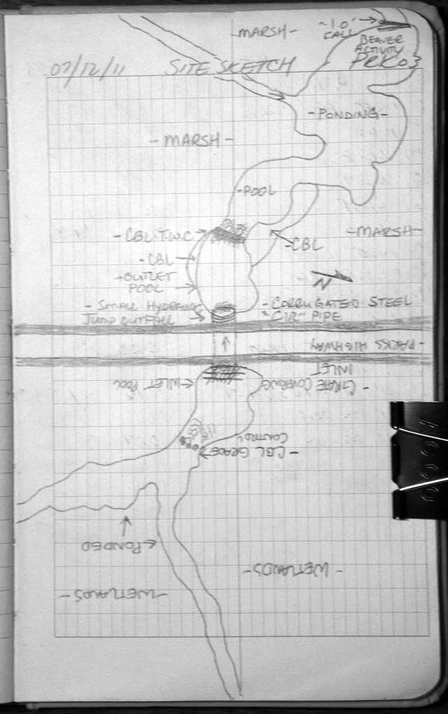
Comments: Upst. Channel originates in a low marsh area and dwst flows through a marsh with several pools and channels. Inlet contained a homemade grate made from several vertical pieces of box tubing. Long profile starts upstream.
Culvert Measurements
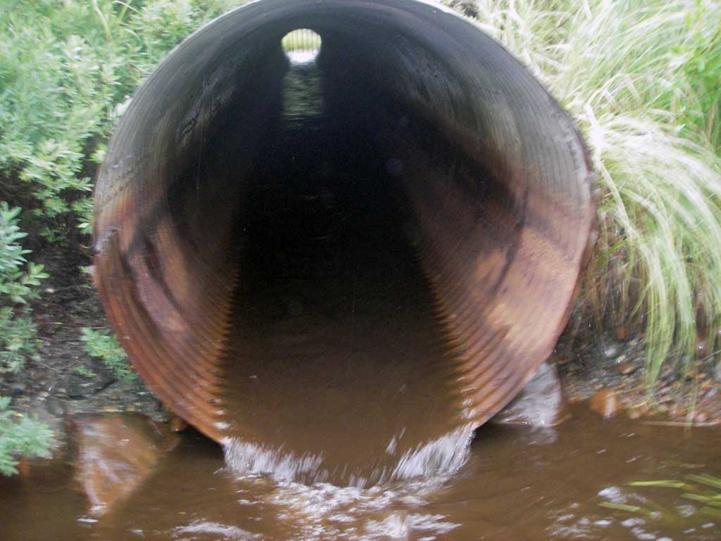
| ID: 1 | Structure Type: Circular pipe (Corrugated steel) | Fish Passage Rating: | |||||||||||||||||||||||||||||||||||||||||
|
|
|
|||||||||||||||||||||||||||||||||||||||||
Culvert Observations:
|
|||||||||||||||||||||||||||||||||||||||||||
Stream Measurements
|
|
| Stream Width Type | Distance From Crossing (ft) |
Stream Width (ft) |
|---|---|---|
| Upstream ordinary high water | 18.0 | 10.00 |
| Upstream ordinary high water | 31.0 | 11.00 |
| Upstream ordinary high water | 52.0 | 13.40 |
Elevations
| Locator ID | Culvert Number |
River Distance (ft)1 |
Distance From Crossing (ft)2 |
Relative Elevation (ft) |
|---|---|---|---|---|
| U/S Thalweg (Profile point, glide through glide) | 0.00 | 93.96 | ||
| U/S Water Surface Elev | 0.00 | 95.00 | ||
| U/S Grade Ctrl (Thalweg) (Top of riffle on a cobble grade control) | 104.00 | 94.52 | ||
| U/S Water Surface Elev | 104.00 | 94.92 | ||
| U/S Water Surface Elev | 124.00 | 94.86 | ||
| U/S Grade Ctrl (Thalweg) (Bottom of riffle) | 124.00 | 94.17 | ||
| Inlet Culvert Invert (On pipe) | 130.00 | 94.34 | ||
| U/S Water Surface Elev (Water surface at inlet invert) | 130.00 | 94.67 | ||
| Inlet Culvert Top | 130.00 | 98.25 | ||
| Road Elev | 175.00 | 102.08 | ||
| Outlet Culvert Top | 219.21 | 97.20 | ||
| D/S Water Surface Elev (Water surface at outlet invert) | 219.21 | 93.42 | ||
| Outlet Invert | 219.21 | 93.16 | ||
| Max Pool Depth (Outlet pool elevation) | 229.21 | 91.89 | ||
| Outlet Pool Water Elev (Water surface of outlet pool) | 229.21 | 93.29 | ||
| D/S Thalweg (Profile point, top of riffle) | 239.21 | 92.89 | ||
| D/S Water Surface Elev | 239.21 | 93.22 | ||
| D/S Water Surface Elev (Water surface of pool downstream of outlet) | 287.21 | 92.95 | ||
| Max Pool Depth (Pool downstream of outlet) | 287.21 | 90.89 |
Notes:
- River distance is measured continuously throughout the survey reach along the thalweg of the stream.
- Measured from each end of the crossing along the thalweg of the stream.
Fish Sampling Efforts
No fish sampling occurred during this survey.
Fish Observations
No fish observations occurred during this survey.
Photos
Questions or comments about this report can be directed to dfg.dsf.webmaster@alaska.gov