Fish Passage Site 20501423
Coordinates (dec. deg.): 62.30997°, -150.10437°
Legal Description: S026N005W25
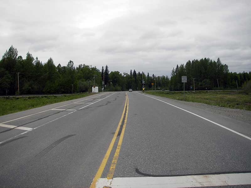
Region: South Central
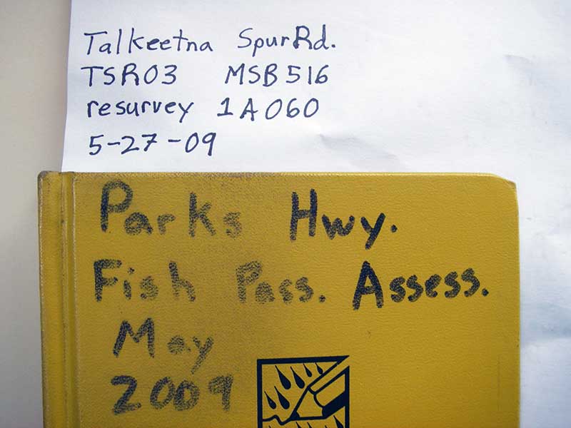
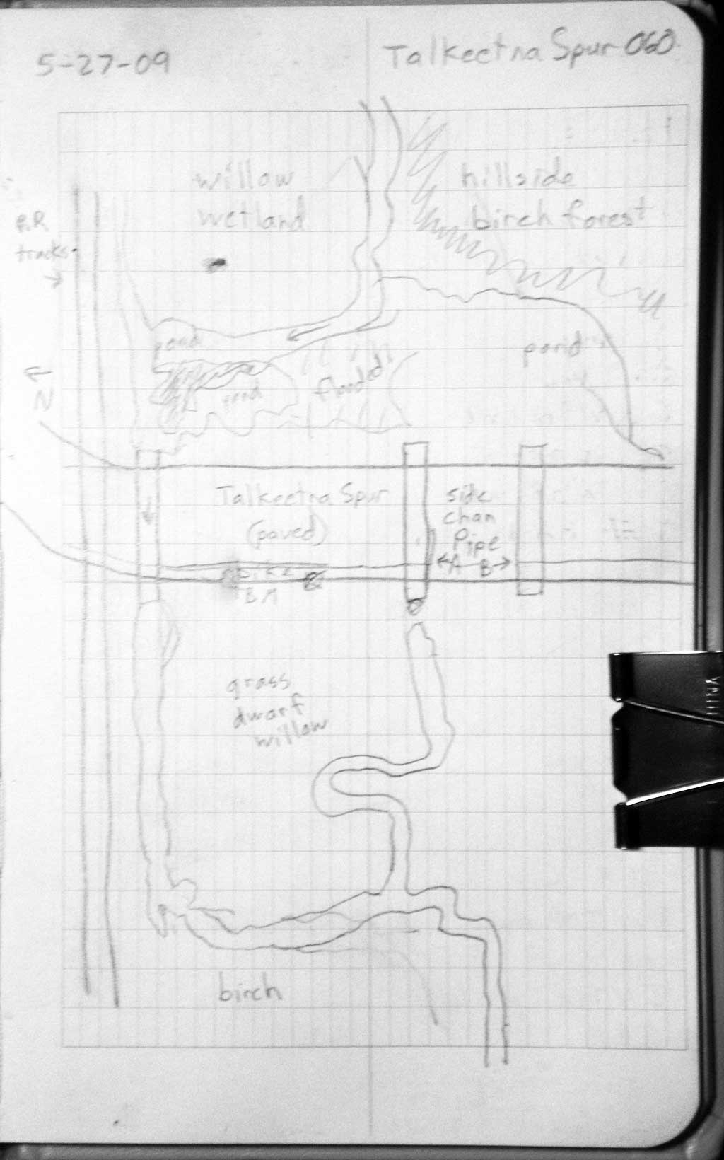
Road Name: Talkeetna Spur Road
Datum: NAD83
Quad Name / ITM: Talkeetna B-1
AWC Stream #:
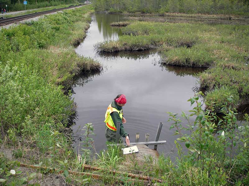
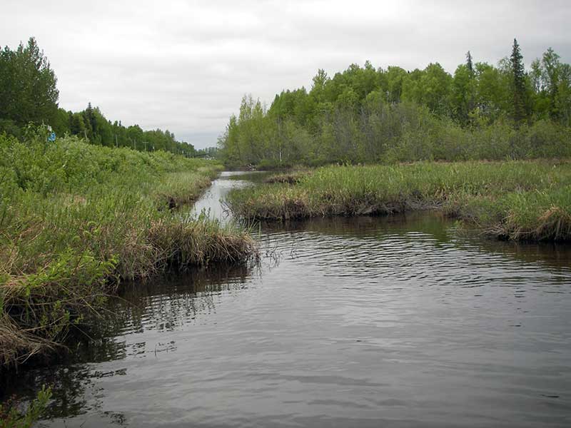
Stream Name: Twister Creek
Elevation:
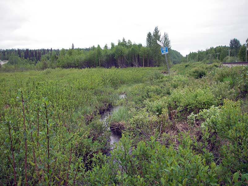
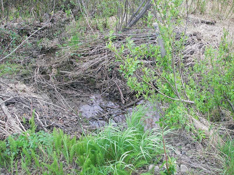
Site Comments: SUSITNA RIVER WATERSHED
arrow to the right of the survey date below to choose a different report for this site.
Survey PRK09-TSR03
Project Supervisor: Gillian O'Doherty, ADFG
Observers: Heidi Zimmer, Ben Histand
Overall Fish Passage Rating:
Tidal: No
Backwatered: No
Step Pools:
Construction Year:
Site Observations:
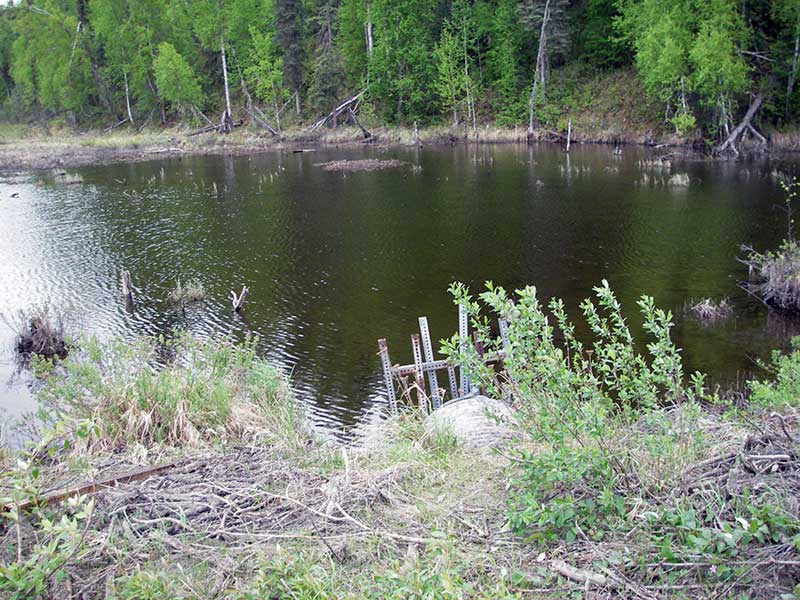
- Beaver Activity
Comments: Resurvey of PRK041A060; CR not considered because of wetland upstream.
Culvert Measurements
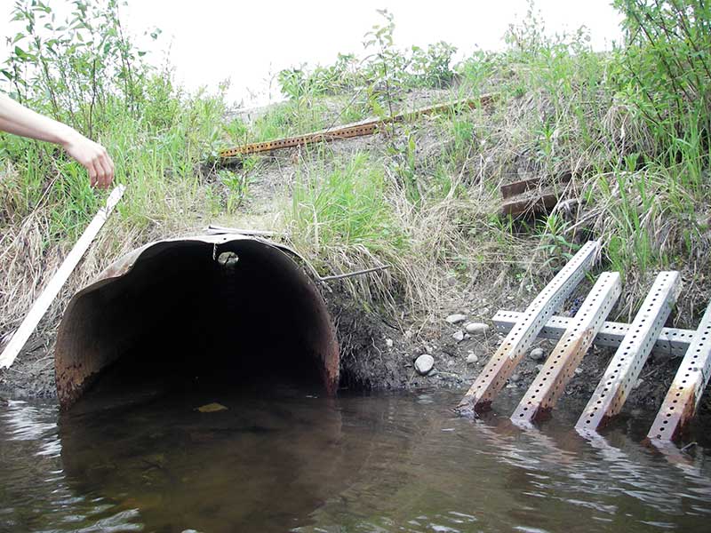
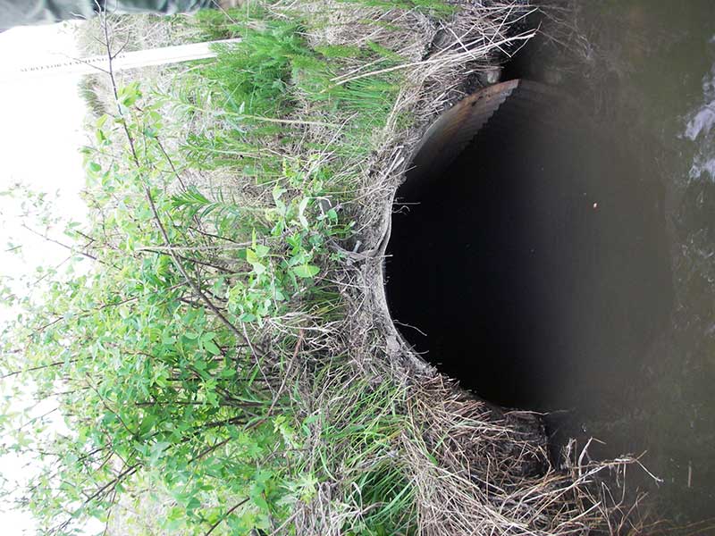
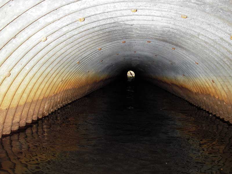
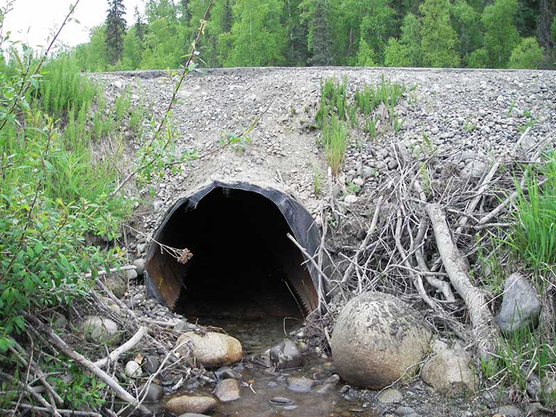
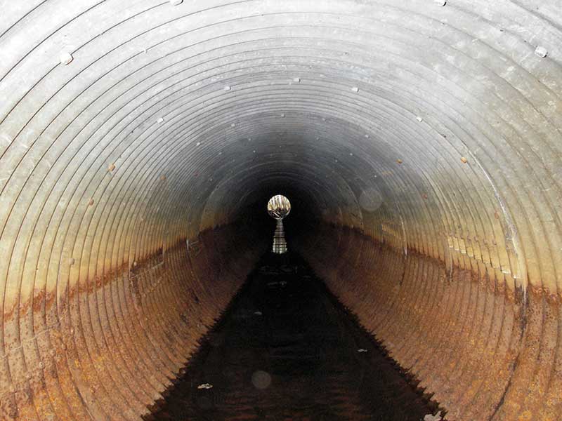
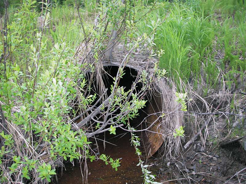
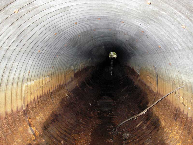
| ID: 1 | Structure Type: Circular pipe (Corrugated steel) | Fish Passage Rating: | |||||||||||||||||||||||||||||||||||||||||
|
|
|
|||||||||||||||||||||||||||||||||||||||||
Culvert Observations:
|
|||||||||||||||||||||||||||||||||||||||||||
| ID: 2 | Structure Type:N/A | Fish Passage Rating: | |||||||||||||||||||||||||||||||||||||||||
|
|
|
|||||||||||||||||||||||||||||||||||||||||
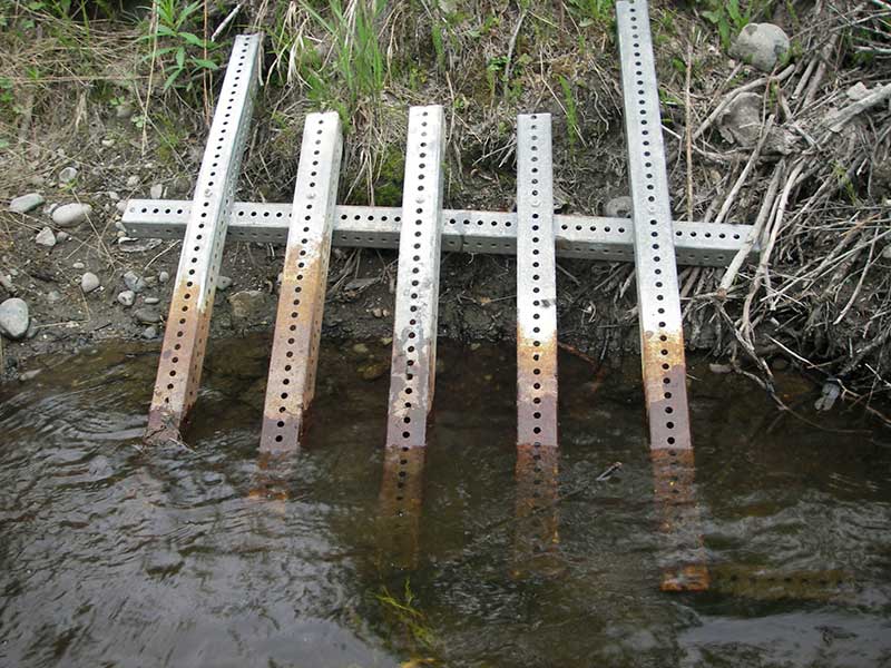
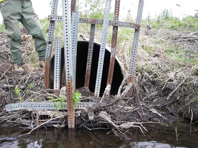
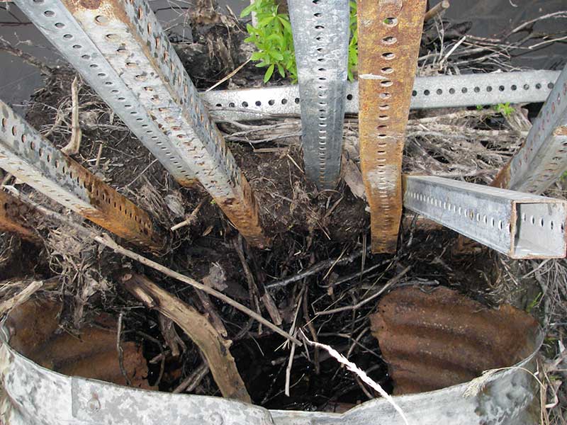
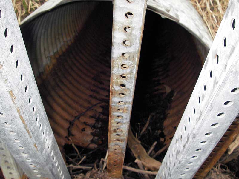
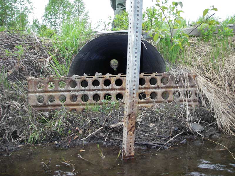
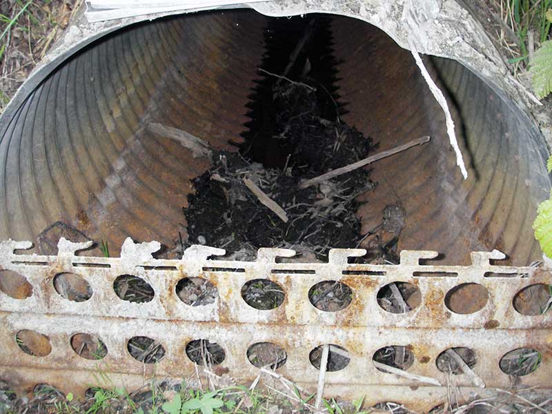
Comments: Overflow. No flow through pipe 2. Corresponds to "side channel A" in survey notes. Culvert blocked with grate and debris. |
|||||||||||||||||||||||||||||||||||||||||||
| ID: 3 | Structure Type:N/A | Fish Passage Rating: | |||||||||||||||||||||||||||||||||||||||||
|
|
|
|||||||||||||||||||||||||||||||||||||||||
Comments: Overflow. No flow through pipe 3. Corresponds to "side channel B" in survey notes. Culvert blocked with grate and debirs. |
|||||||||||||||||||||||||||||||||||||||||||
Culvert Observations:
|
|||||||||||||||||||||||||||||||||||||||||||
Stream Measurements
|
|
| Stream Width Type | Distance From Crossing (ft) |
Stream Width (ft) |
|---|---|---|
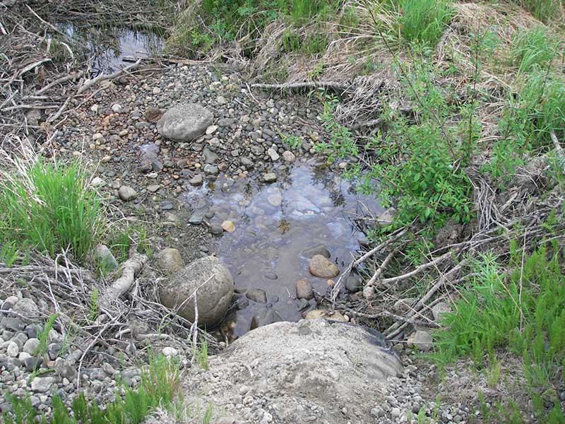
| Downstream ordinary high water | 43.0 | 6.00 |
| Downstream ordinary high water | 108.0 | 11.00 |
| Downstream ordinary high water | 166.0 | 10.50 |
Elevations
| Locator ID | Culvert Number |
River Distance (ft)1 |
Distance From Crossing (ft)2 |
Relative Elevation (ft) |
|---|---|---|---|---|
| U/S Headwater | 1 | 95.31 | ||
| U/S Headwater (pool at inlet) | 2 | 95.35 | ||
| (Top of outlet) | 3 | 96.04 | ||
| (Top of outlet) | 2 | 96.56 | ||
| (Top of inlet) | 2 | 97.93 | ||
| (Top of inlet) | 3 | 98.25 | ||
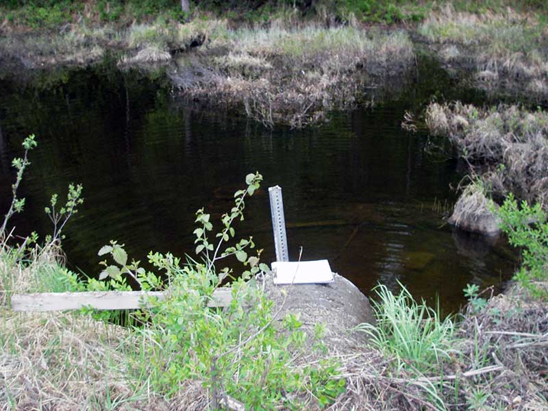
| Outlet Pool Water Elev (wd = 1.51 at inv) | 1 | 95.18 | ||
| Inlet Road Edge | 2 | 100.87 | ||
| D/S Grade Ctrl (Thalweg) | 1 | 0.00 | 55.0 | 93.98 |
| D/S Water Surface Elev (ws @ GP) | 1 | 0.00 | 55.0 | 94.77 |
| D/S Tailcrest or 1st Thalweg (no water flow) | 2 | 48.00 | 7.0 | 94.13 |
| D/S Tailcrest or 1st Thalweg (soft substrate) | 1 | 49.00 | 6.0 | 94.07 |
| D/S Water Surface Elev (ws @ TWC) | 1 | 49.00 | 6.0 | 95.18 |
| D/S Thalweg | 1 | 50.00 | 5.0 | 93.95 |
| Outlet Invert | 1 | 55.00 | 0.0 | 93.67 |
| Outlet Invert (on CG) | 2 | 55.00 | 0.0 | 93.85 |
| Road Elev | 1 | 101.00 | 101.65 | |
| Road Elev | 3 | 101.00 | 99.83 | |
| Inlet Culvert Invert | 1 | 147.00 | 0.0 | 94.16 |
Notes:
- River distance is measured continuously throughout the survey reach along the thalweg of the stream.
- Measured from each end of the crossing along the thalweg of the stream.
Fish Sampling Efforts
No fish sampling occurred during this survey.
Fish Observations
No fish observations occurred during this survey.
Photos
Questions or comments about this report can be directed to dfg.dsf.webmaster@alaska.gov