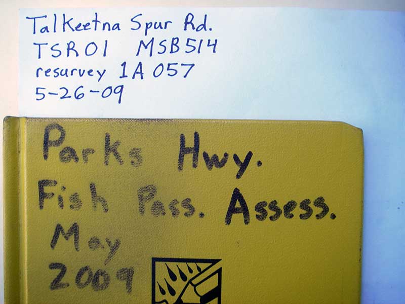
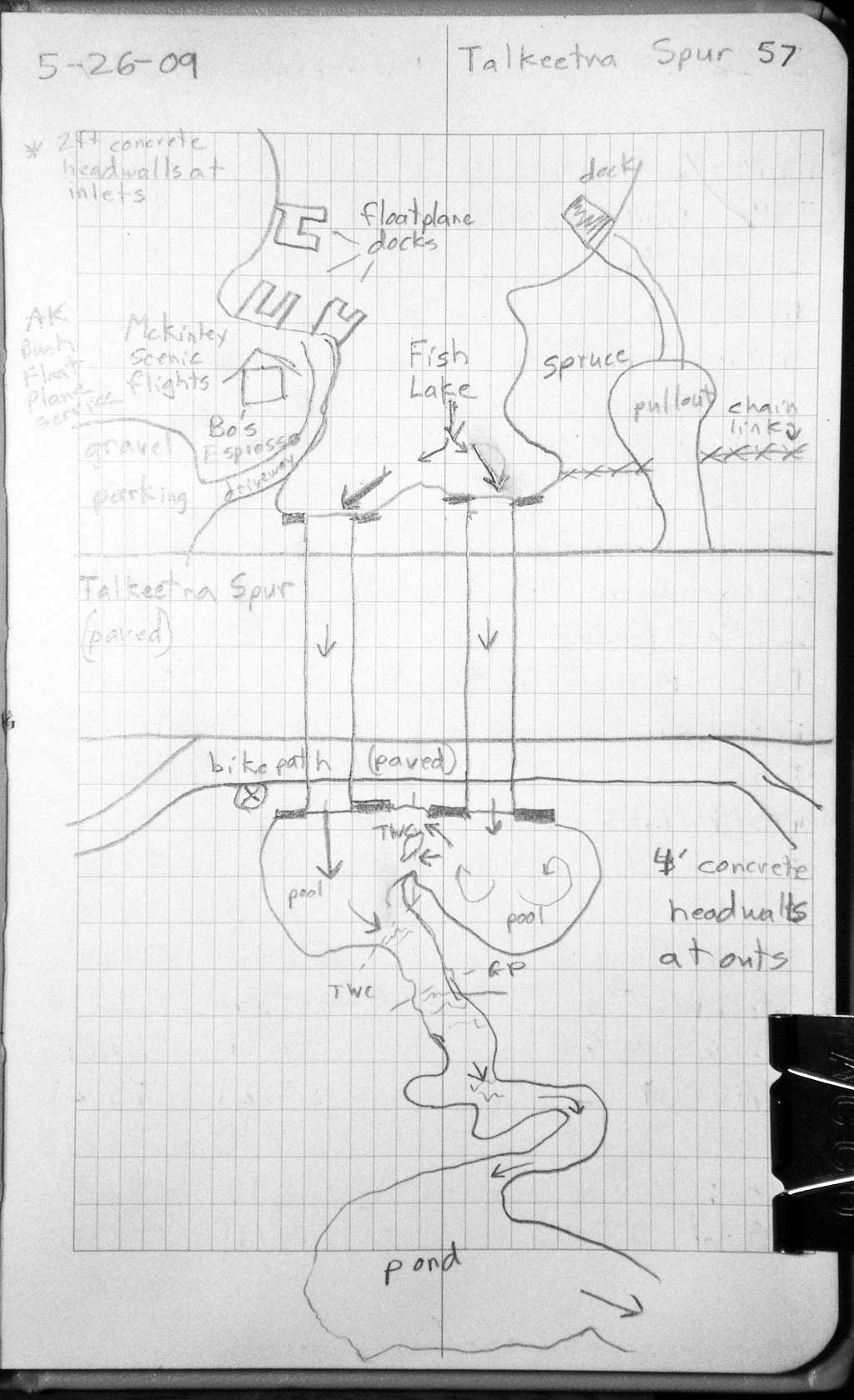
Fish Passage Site 20501420
Coordinates (dec. deg.): 62.25486°, -150.08141°
Legal Description: S025N004W18
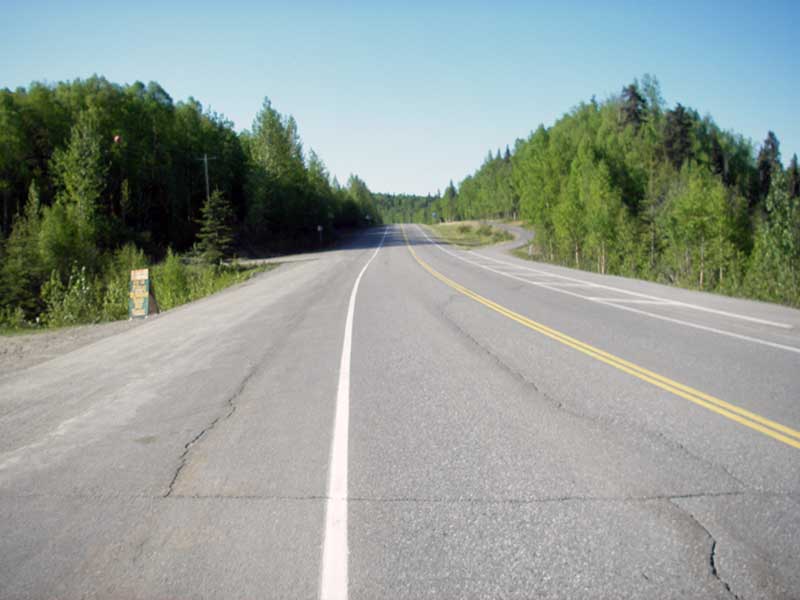
Region: South Central
Road Name: Talkeetna Spur Road
Datum: NAD83
Quad Name / ITM: Talkeetna B-1
AWC Stream #: 247-41-10200-2320-3010
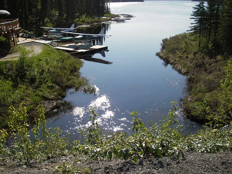
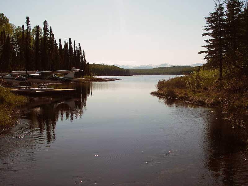
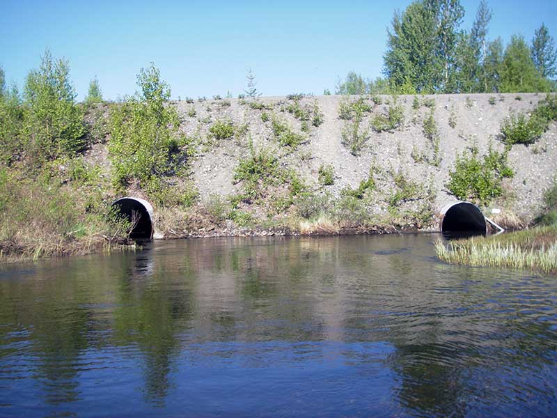
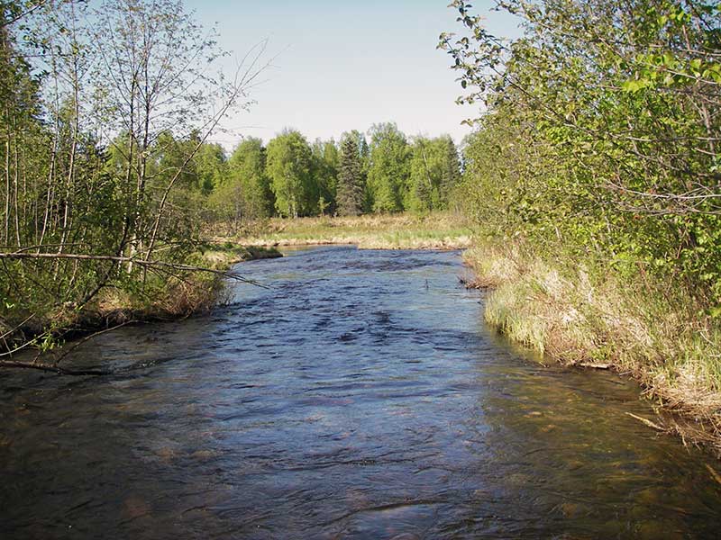
Stream Name: Birch Creek
Elevation:
Site Comments: Outlet to Fish Lake.
arrow to the right of the survey date below to choose a different report for this site.
Survey PRK09-TSR01
Project Supervisor: Gillian O'Doherty, ADFG
Observers: Heidi Zimmer, Ben Histand
Overall Fish Passage Rating:
Tidal: No
Backwatered: Yes
Step Pools: No
Construction Year:
Site Observations:
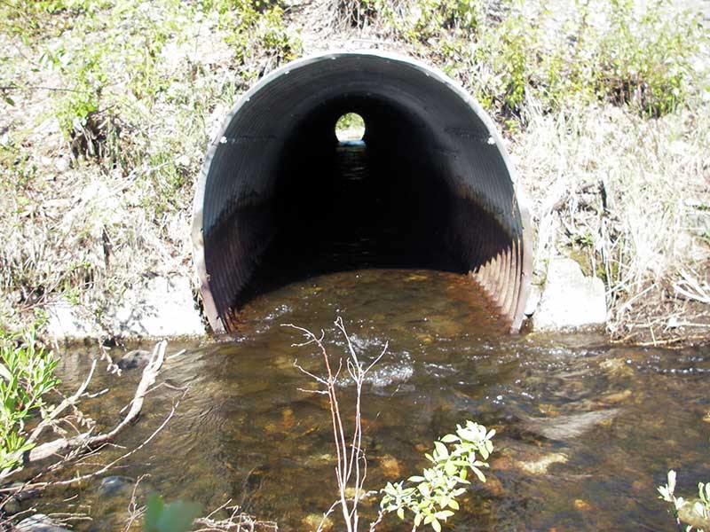
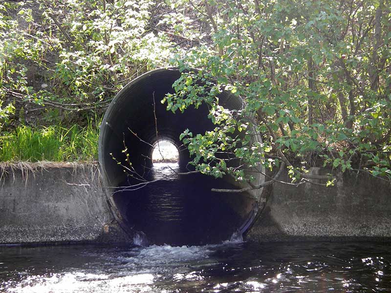
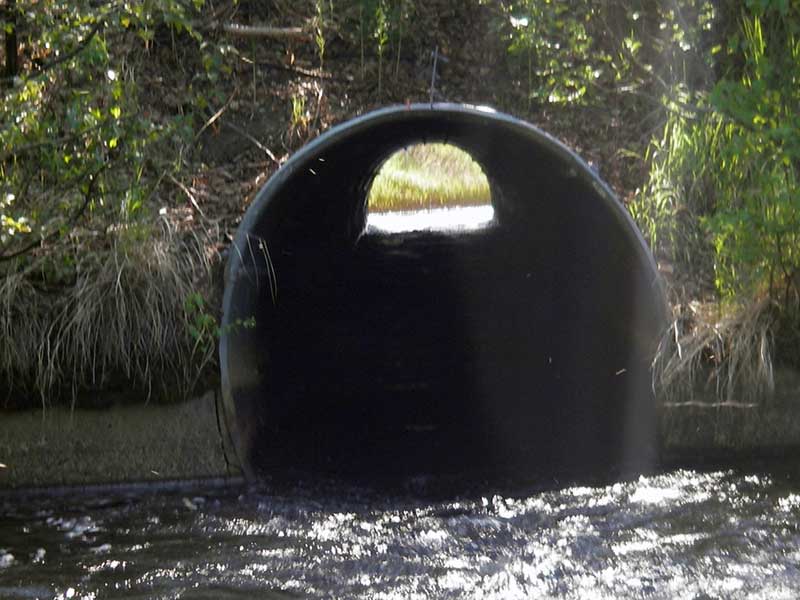
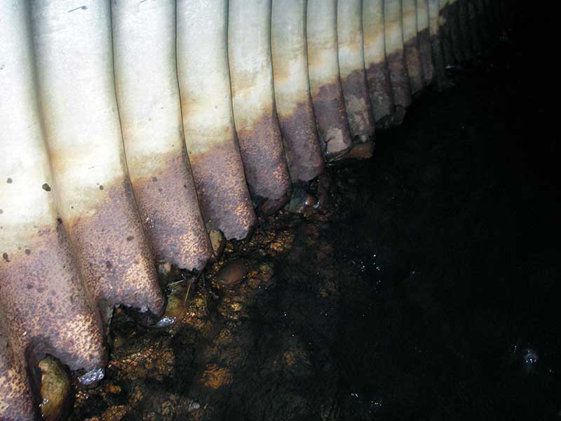
- Outfall height red
- Mechanical damage or joints parting
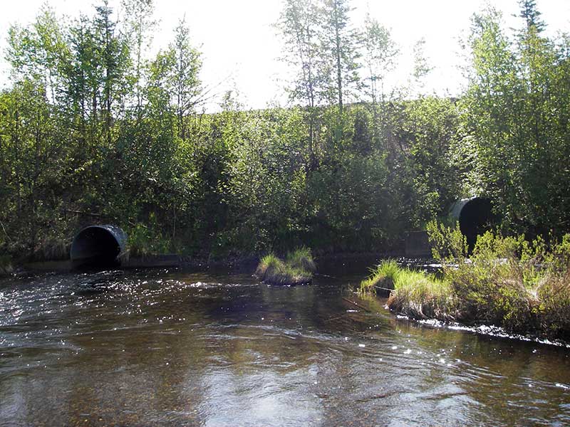
Comments: Resurvey of PRK041A057. Majority of flow is in pipe 2; visual observations of many salmonids u/s of culverts
Culvert Measurements
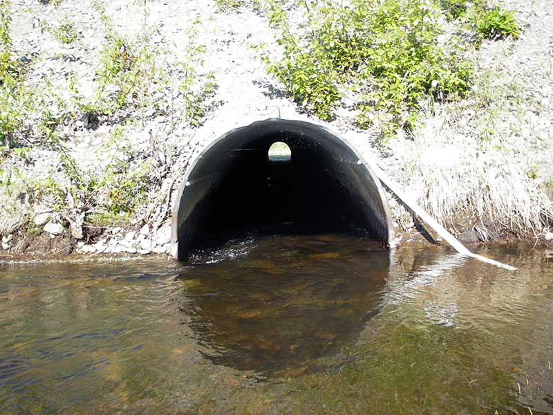
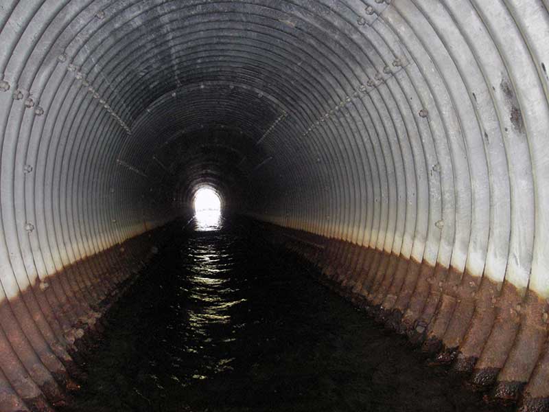
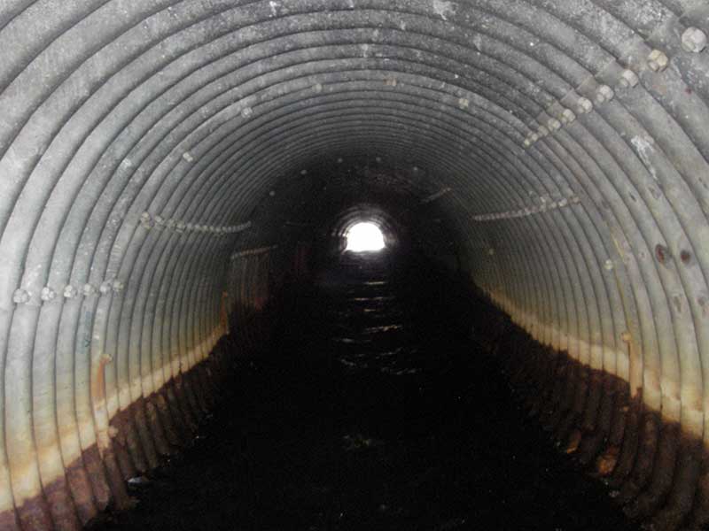
| ID: 1 | Structure Type: Circular pipe (Structural steel plate) | Fish Passage Rating: | |||||||||||||||||||||||||||||||||||||||||
|
|
|
|||||||||||||||||||||||||||||||||||||||||
Culvert Observations:
|
|||||||||||||||||||||||||||||||||||||||||||
| ID: 2 | Structure Type: Circular pipe (Structural steel plate) | Fish Passage Rating: | |||||||||||||||||||||||||||||||||||||||||
|
|
|
|||||||||||||||||||||||||||||||||||||||||
Comments: Pipe 2 (this pipe) has majority of flow. |
|||||||||||||||||||||||||||||||||||||||||||
Culvert Observations:
|
|||||||||||||||||||||||||||||||||||||||||||
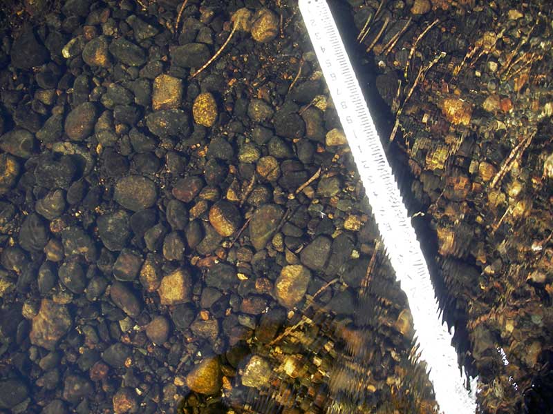
Stream Measurements
|
|
No stream width data available.
Elevations
| Locator ID | Culvert Number |
River Distance (ft)1 |
Distance From Crossing (ft)2 |
Relative Elevation (ft) |
|---|---|---|---|---|
| Outlet Pool Water Elev (turbulence - use 77.01 for TWS) | 2 | 76.98 | ||
| Outlet Pool Water Elev (outpools too deep to wade >6' WD) | 1 | 77.01 | ||
| U/S Headwater | 1 | 78.54 | ||
| U/S Headwater | 2 | 78.56 | ||
| D/S Water Surface Elev | 0.00 | 83.0 | 76.87 | |
| D/S Grade Ctrl (Thalweg) | 0.00 | 83.0 | 75.73 | |
| D/S Tailcrest or 1st Thalweg (Grade point for main thalweg both pipes) | 2 | 35.00 | 48.0 | 76.12 |
| D/S Water Surface Elev (ws @TWC) | 2 | 35.00 | 48.0 | 77.01 |
| D/S Tailcrest or 1st Thalweg (29' from pipe 1) | 1 | 54.00 | 29.0 | 76.38 |
| D/S Water Surface Elev (ws @ GP) | 1 | 54.00 | 29.0 | 77.01 |
| D/S Water Surface Elev (ws @ GP) | 2 | 60.00 | 23.0 | 78.63 |
| D/S Water Surface Elev (ws @ GP) | 1 | 78.00 | 5.0 | 78.56 |
| Outlet Invert | 2 | 83.00 | 0.0 | 75.21 |
| Outlet Invert | 1 | 83.00 | 0.0 | 76.64 |
| Road Elev | 154.00 | 101.62 | ||
| Inlet Culvert Invert | 1 | 225.00 | 0.0 | 77.07 |
| Inlet Culvert Invert | 2 | 225.00 | 0.0 | 75.78 |
| U/S Grade Ctrl (Thalweg) (5' from pipe 1 1st TC u/s) | 1 | 230.00 | 5.0 | 77.93 |
| U/S Thalweg (7' from pipe 2) | 2 | 232.00 | 7.0 | 76.58 |
| U/S Grade Ctrl (Thalweg) (main thalweg for site; 23' from pipe 2) | 2 | 248.00 | 23.0 | 77.28 |
Notes:
- River distance is measured continuously throughout the survey reach along the thalweg of the stream.
- Measured from each end of the crossing along the thalweg of the stream.
Fish Sampling Efforts
| Gear Type: Visual Observation, Ground (A) | ||
| Comments: Juvenile fish observed upstream. | ||
Fish Observations
No fish observations occurred during this survey.
Photos
Questions or comments about this report can be directed to dfg.dsf.webmaster@alaska.gov