Fish Passage Site 20501418
Coordinates (dec. deg.): 62.21139°, -150.07844°
Legal Description: S025N004W31
Region: South Central
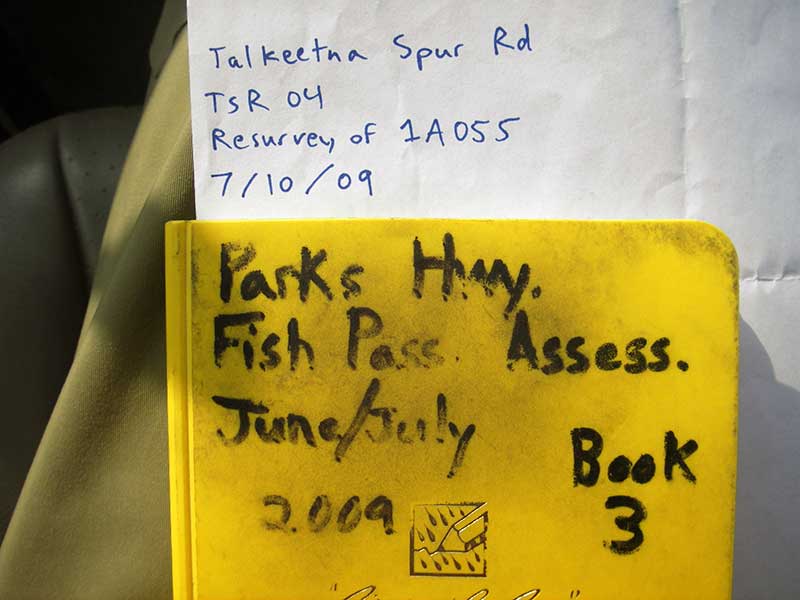
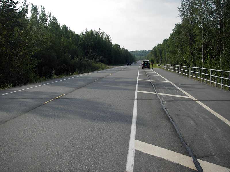
Road Name: Talkeetna Spur Road
Datum: NAD83
Quad Name / ITM: Talkeetna A-1
AWC Stream #: 247-41-10200-2300-3011-4008
Stream Name: Question Creek tributary
Elevation:
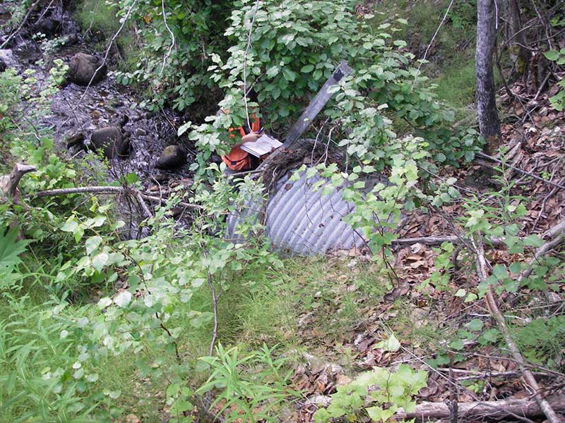
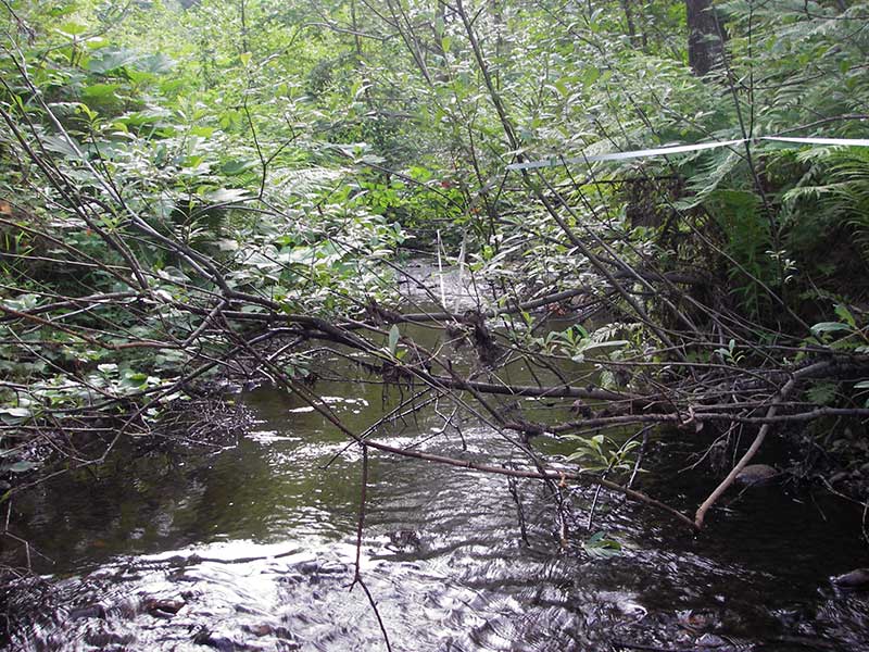
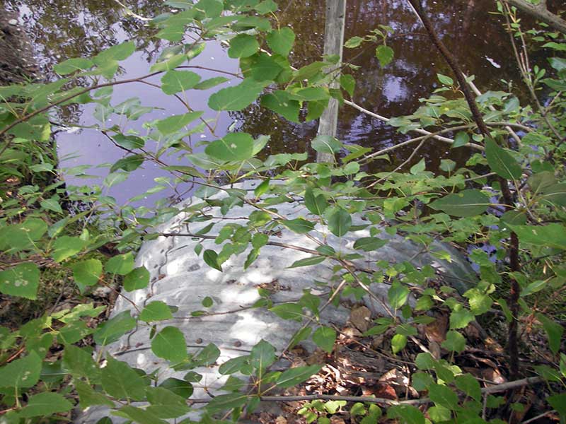
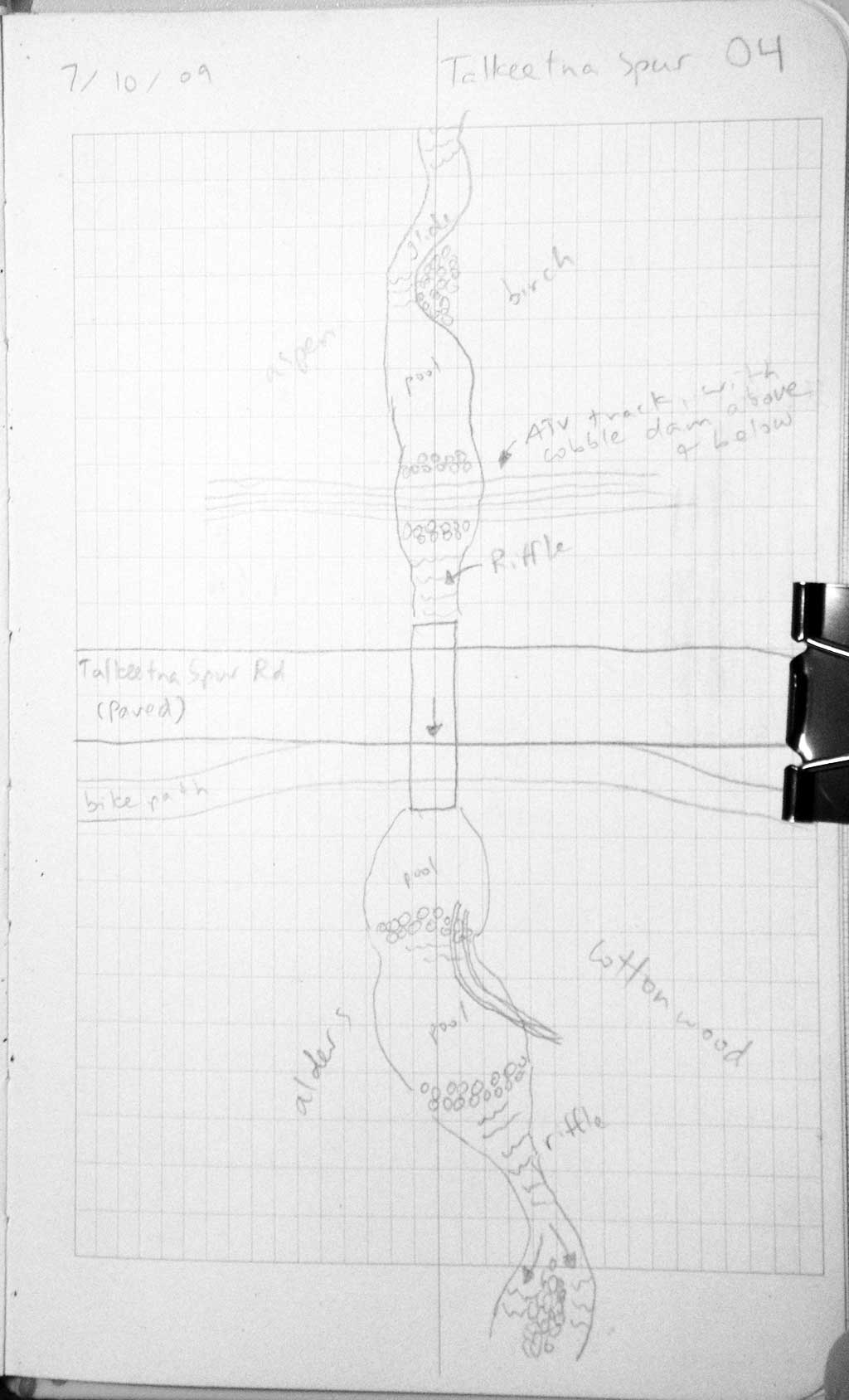
Site Comments: SUSITNA RIVER WATERSHED, HUMAN MADE DAMS ABOVE AND BELOW CULVERT,
arrow to the right of the survey date below to choose a different report for this site.
Survey PRK09-TSR04
Project Supervisor: Gillian O'Doherty, ADFG
Observers: Heidi Zimmer, Ben Histand
Overall Fish Passage Rating:
Tidal: No
Backwatered: No
Step Pools: No
Construction Year:
Site Observations:
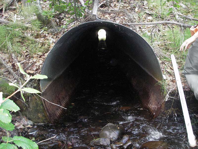
- Compound gradient in pipe
- Culvert gradient red
- Constriction ratio gray
- Other, including vibrations, cavitation, etc.
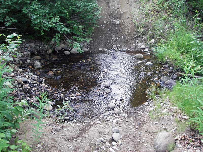
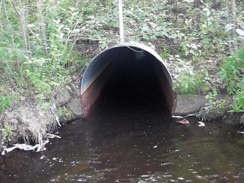
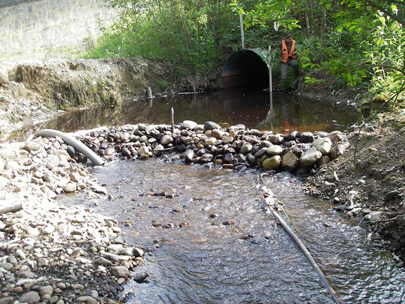
Comments: Resurvey of PRK041A055; obs 5-10cm salmonids at outlet; upper 1/2 of pipe is cobble riffle then flat WS w/little subs. Dammed by landowner for water supply.
Culvert Measurements
| ID: 1 | Structure Type: Circular pipe (Structural steel plate) | Fish Passage Rating: | |||||||||||||||||||||||||||||||||||||||||
|
|
|
|||||||||||||||||||||||||||||||||||||||||
Comments: Constructed TWC directly downstream from outlet. |
|||||||||||||||||||||||||||||||||||||||||||
Culvert Observations:
|
|||||||||||||||||||||||||||||||||||||||||||
Stream Measurements
|
|
| Stream Width Type | Distance From Crossing (ft) |
Stream Width (ft) |
|---|---|---|
| Upstream ordinary high water | 100.0 | 9.00 |
| Upstream ordinary high water | 140.0 | 8.50 |
| Upstream ordinary high water | 180.0 | 7.50 |
Elevations
| Locator ID | Culvert Number |
River Distance (ft)1 |
Distance From Crossing (ft)2 |
Relative Elevation (ft) |
|---|---|---|---|---|
| Outlet Pool Water Elev | 1 | 75.27 | ||
| U/S Headwater | 1 | 77.03 | ||
| D/S Thalweg | 1 | 0.00 | 75.0 | 72.19 |
| D/S Grade Ctrl (Thalweg) | 1 | 5.00 | 70.0 | 73.81 |
| D/S Water Surface Elev (WS @ GP) | 1 | 5.00 | 70.0 | 73.85 |
| D/S Water Surface Elev (WS @ GP) | 1 | 44.00 | 31.0 | 80.97 |
| D/S Thalweg | 1 | 50.00 | 25.0 | 74.03 |
| D/S Tailcrest or 1st Thalweg | 1 | 54.00 | 21.0 | 75.12 |
| D/S Water Surface Elev (WS @ TWC) | 1 | 54.00 | 21.0 | 75.26 |
| D/S Thalweg (out pool bottom (on mud)) | 1 | 64.00 | 11.0 | 72.91 |
| D/S Thalweg | 1 | 70.00 | 5.0 | 73.86 |
| Outlet Invert | 1 | 75.00 | 0.0 | 73.87 |
| Road Elev | 1 | 140.50 | 100.30 | |
| Inlet Culvert Invert | 1 | 206.00 | 0.0 | 76.66 |
| U/S Thalweg | 1 | 224.00 | 18.0 | 77.81 |
| U/S Grade Ctrl (Thalweg) (1st u/s TC (d/s edge of ATV ford)) | 1 | 237.00 | 31.0 | 80.69 |
Notes:
- River distance is measured continuously throughout the survey reach along the thalweg of the stream.
- Measured from each end of the crossing along the thalweg of the stream.
Fish Sampling Efforts
| Gear Type: Visual Observation, Ground (A) | ||
| Comments: Visual observation of juvenile salmonids (5-10cm) at outlet. | ||
Fish Observations
No fish observations occurred during this survey.
Photos

Questions or comments about this report can be directed to dfg.dsf.webmaster@alaska.gov