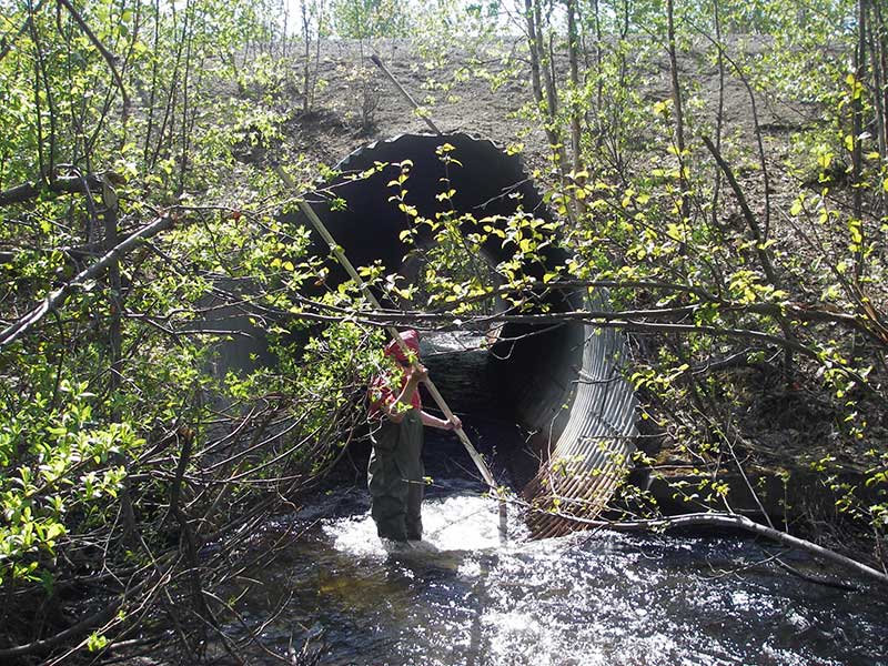
Fish Passage Site 20501417
Coordinates (dec. deg.): 62.20250°, -150.06731°
Legal Description: S024N004W06
Region: South Central
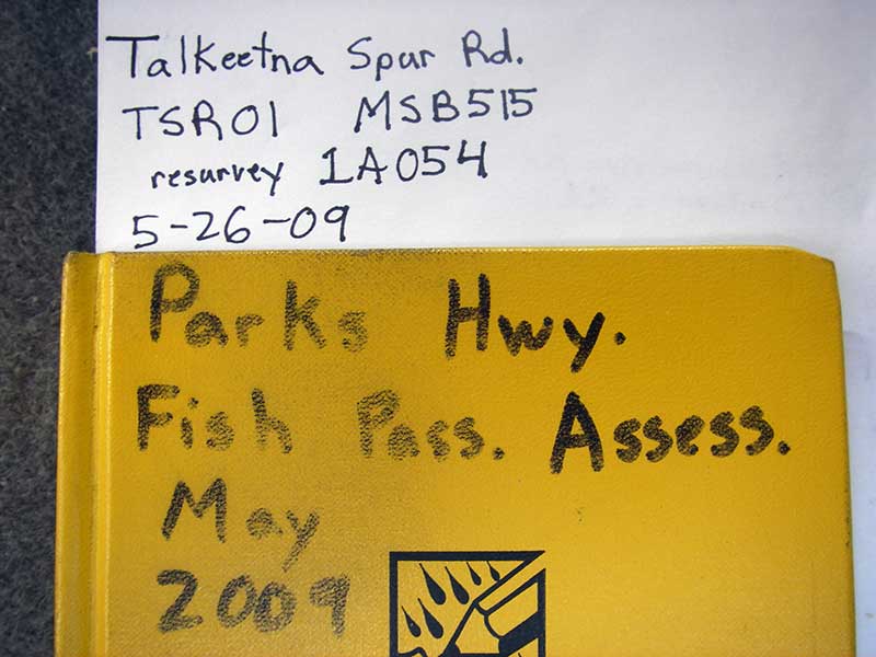
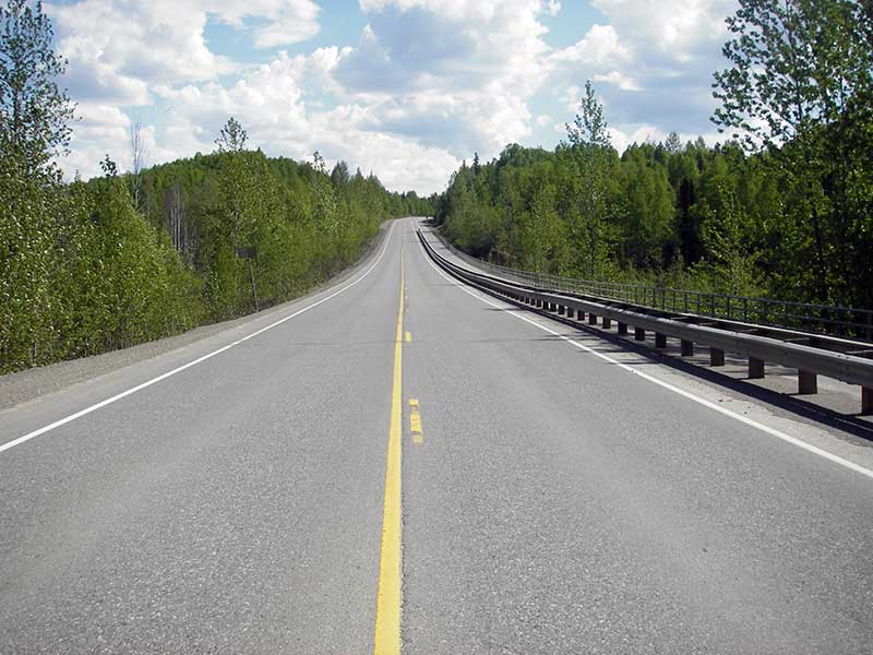
Road Name: Talkeetna Spur Road
Datum: NAD83
Quad Name / ITM: Talkeetna A-1
AWC Stream #: 247-41-10200-2300-3011-4006
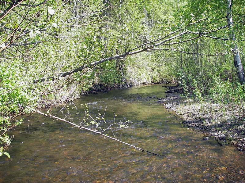
Stream Name: Answer Creek
Elevation:
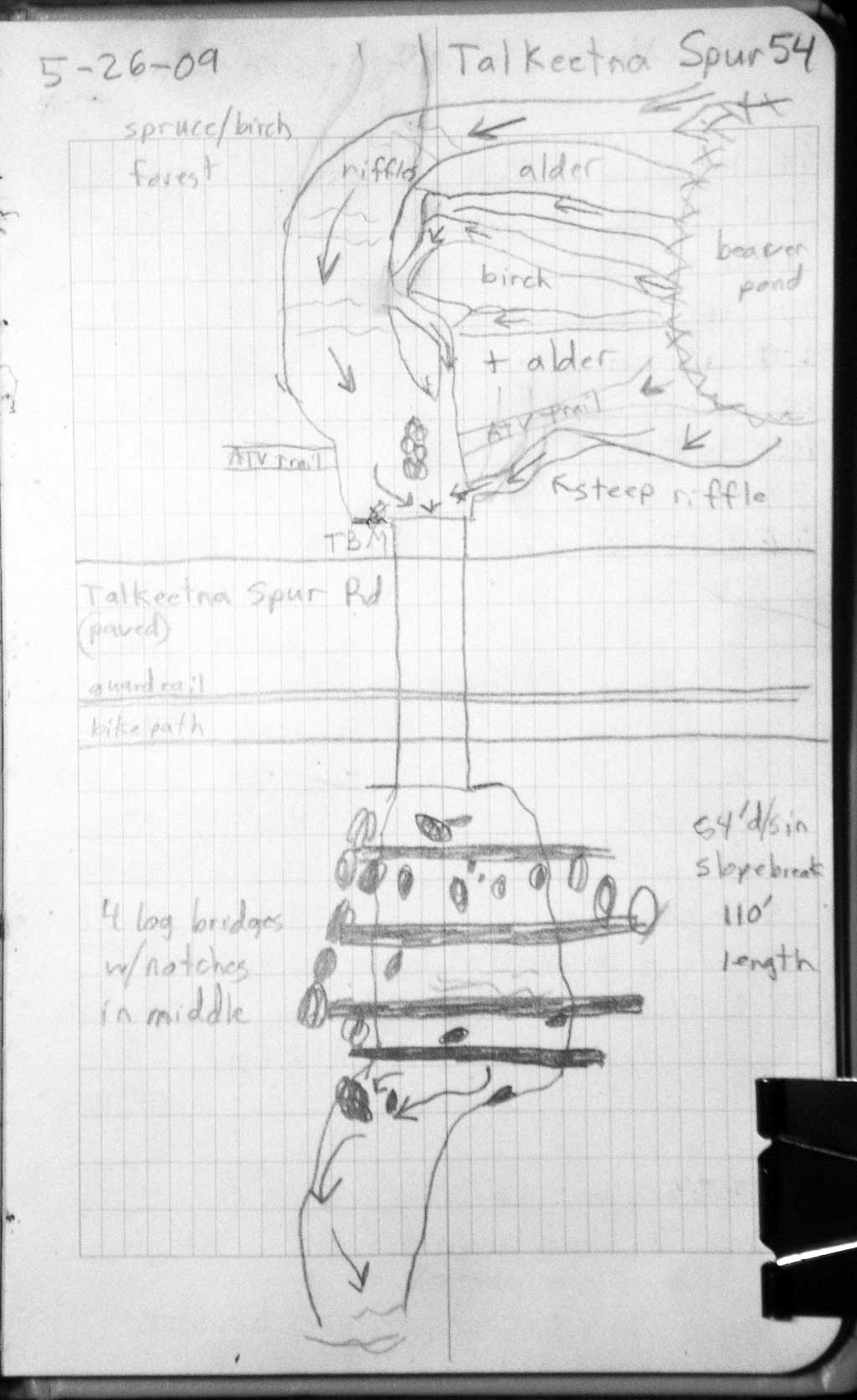
Site Comments: SUSITNA RIVER WATERSHED
arrow to the right of the survey date below to choose a different report for this site.
Survey PRK09-TSR02
Project Supervisor: Gillian O'Doherty, ADFG
Observers: Heidi Zimmer, Ben Histand
Overall Fish Passage Rating:
Tidal: No
Backwatered: No
Step Pools: No
Construction Year:
Site Observations:
- Culvert gradient red
- Constriction ratio gray
- Outfall height red
- Compound gradient in pipe
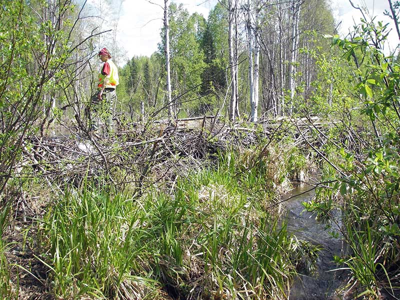
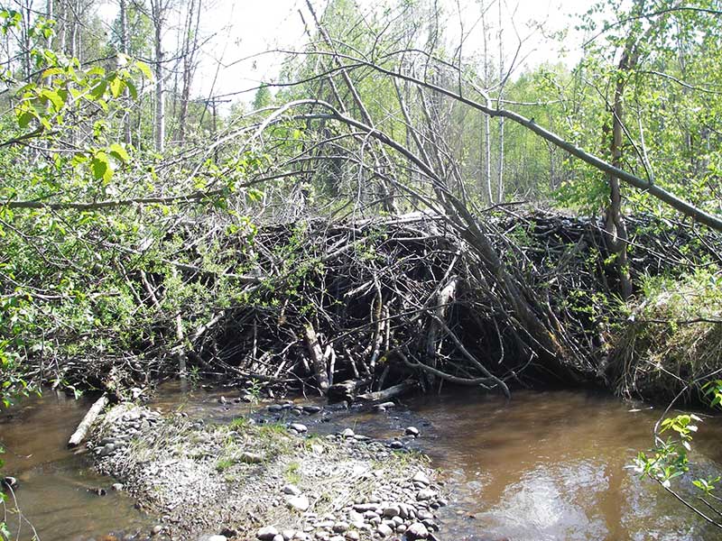
- Beaver Activity
- Inlet perch
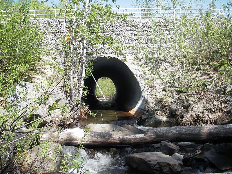
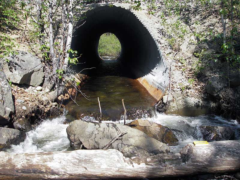
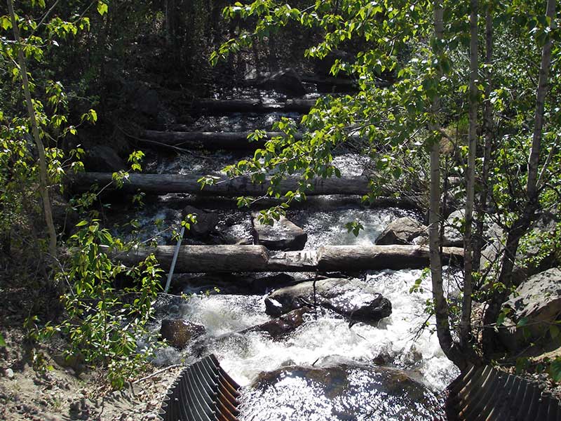
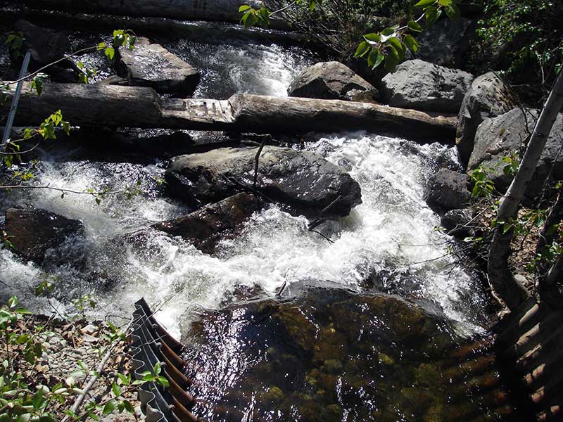
Comments: Resurvey of PRK041A054; subs at outlet mitre, does not affect out height. Outfall height is cascade over Boulder. Downstream from outlet are a series of failed log weirs.
Culvert Measurements
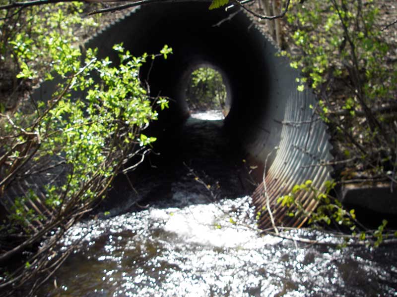
| ID: 1 | Structure Type: Circular pipe (Structural steel plate) | Fish Passage Rating: | |||||||||||||||||||||||||||||||||||||||||
|
|
|
|||||||||||||||||||||||||||||||||||||||||
Culvert Observations:
|
|||||||||||||||||||||||||||||||||||||||||||
Stream Measurements
|
|
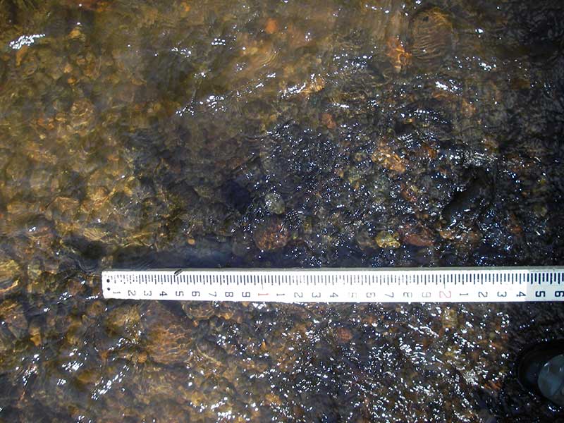
| Stream Width Type | Distance From Crossing (ft) |
Stream Width (ft) |
|---|---|---|
| Downstream ordinary high water | 135.0 | 24.50 |
| Downstream ordinary high water | 188.0 | 17.00 |
| Downstream ordinary high water | 265.0 | 19.00 |
Elevations
| Locator ID | Culvert Number |
River Distance (ft)1 |
Distance From Crossing (ft)2 |
Relative Elevation (ft) |
|---|---|---|---|---|
| U/S Headwater | 1 | 98.60 | ||
| D/S Water Surface Elev | 1 | 0.00 | 79.0 | 99.84 |
| D/S Grade Ctrl (Thalweg) | 1 | 20.00 | 59.0 | 91.99 |
| D/S Water Surface Elev (ws @ GP) | 1 | 20.00 | 59.0 | 93.40 |
| D/S Tailcrest or 1st Thalweg | 1 | 54.00 | 25.0 | 93.65 |
| Outlet Pool Water Elev (ws of out pool) | 1 | 59.00 | 20.0 | 94.59 |
| D/S Thalweg (bottom out pool) | 1 | 59.00 | 20.0 | 93.04 |
| D/S Thalweg (top of step above out pool) | 1 | 66.00 | 13.0 | 94.44 |
| D/S Thalweg (top of riffle into main thalweg L side outlet) | 1 | 67.00 | 12.0 | 93.90 |
| D/S Thalweg (bottom 1st plunge) | 1 | 75.50 | 3.5 | 94.38 |
| Outlet Invert | 1 | 79.00 | 0.0 | 95.38 |
| Inlet Culvert Invert | 1 | 189.00 | 0.0 | 96.90 |
| U/S Thalweg | 1 | 211.00 | 22.0 | 97.82 |
| U/S Thalweg | 1 | 220.00 | 31.0 | 98.48 |
| U/S Grade Ctrl (Thalweg) | 1 | 268.00 | 79.0 | 98.98 |
Notes:
- River distance is measured continuously throughout the survey reach along the thalweg of the stream.
- Measured from each end of the crossing along the thalweg of the stream.
Fish Sampling Efforts
No fish sampling occurred during this survey.
Fish Observations
No fish observations occurred during this survey.
Photos

Questions or comments about this report can be directed to dfg.dsf.webmaster@alaska.gov