Fish Passage Site 20501414
Coordinates (dec. deg.): 62.19051°, -150.21049°
Legal Description: S024N005W09
Region: South Central
Road Name: Parks Highway
Datum: NAD83
Quad Name / ITM: Talkeetna A-1
AWC Stream #: 247-41-10200-2291
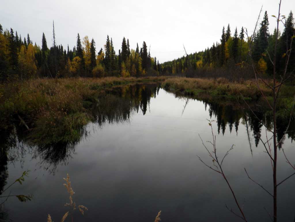
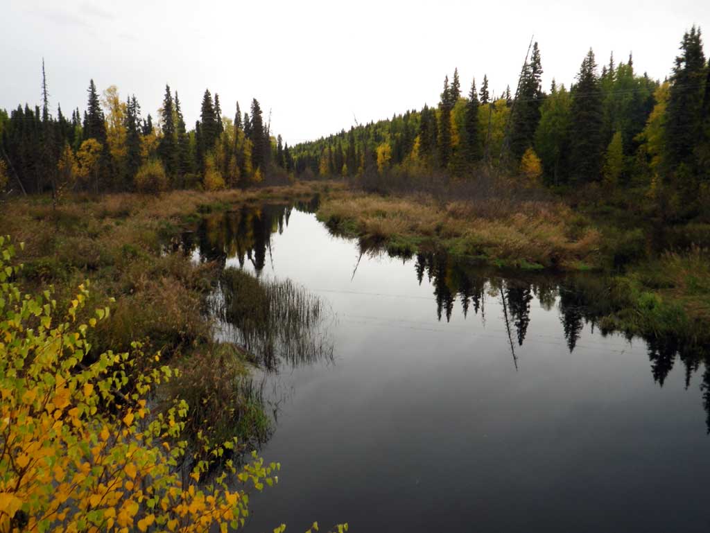
Stream Name: Rabideux Creek
Elevation:
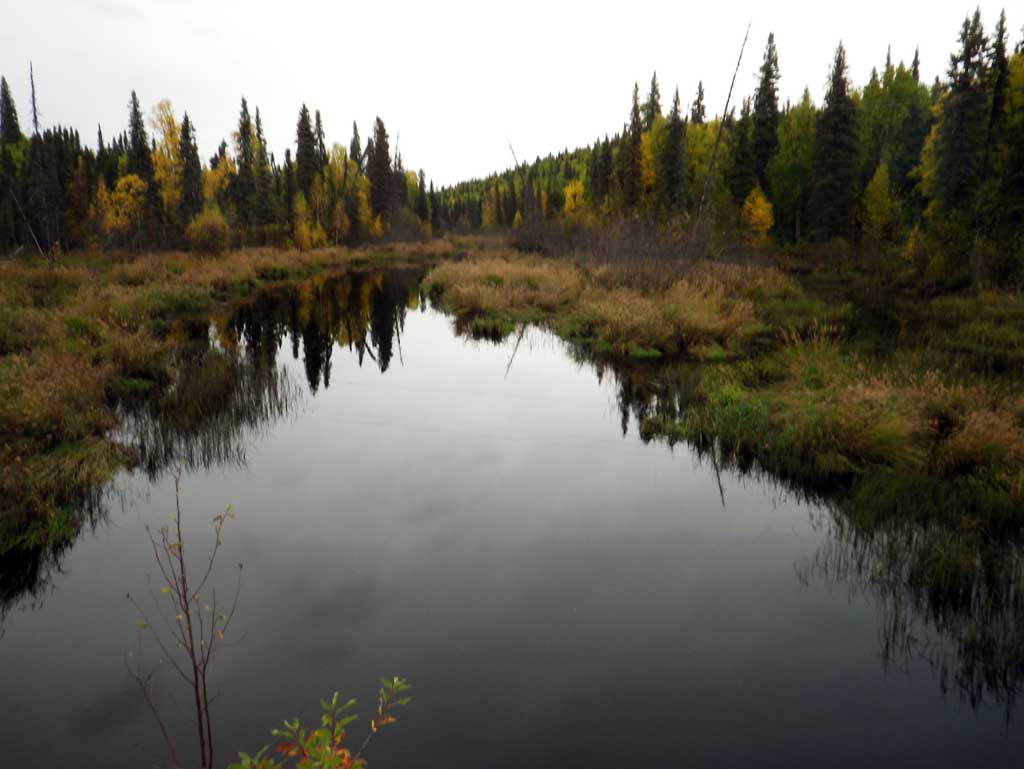
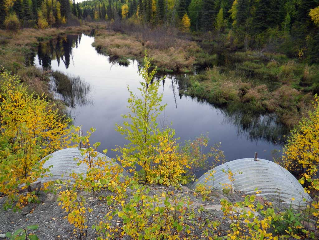
Site Comments: SUSITNA RIVER WATERSHED
arrow to the right of the survey date below to choose a different report for this site.
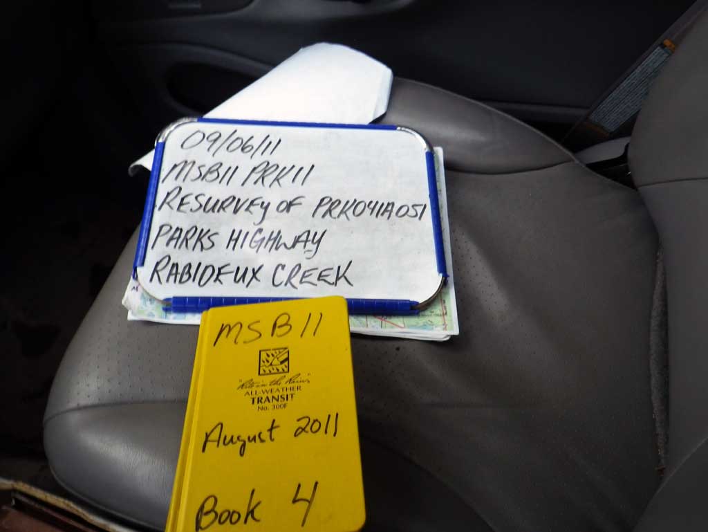
Survey MSB11-PRK11
Project Supervisor: Gillian O'Doherty, Alaska Department of Fish and Game
— Anchorage, AK
Observers: Abraham Gioffre, Jim Latham
Overall Fish Passage Rating:
Tidal: No
Backwatered: Yes
Step Pools: No
Construction Year:
Site Observations:
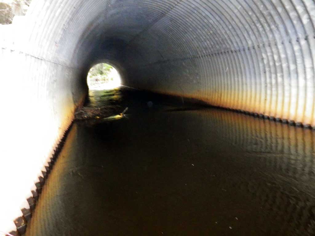
- Beaver Activity
- Woody Debris
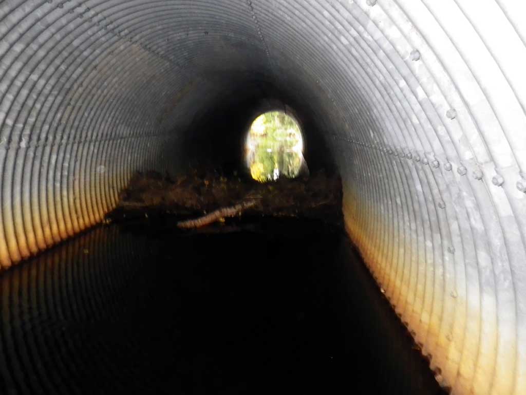
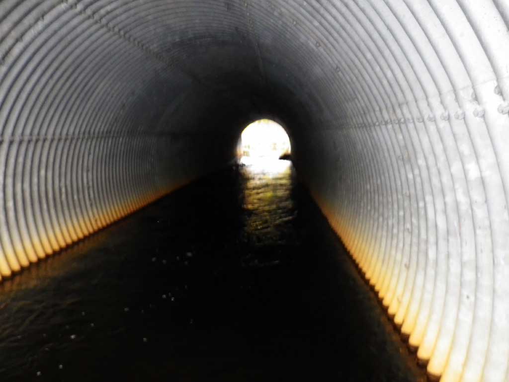
- Compound gradient in pipe
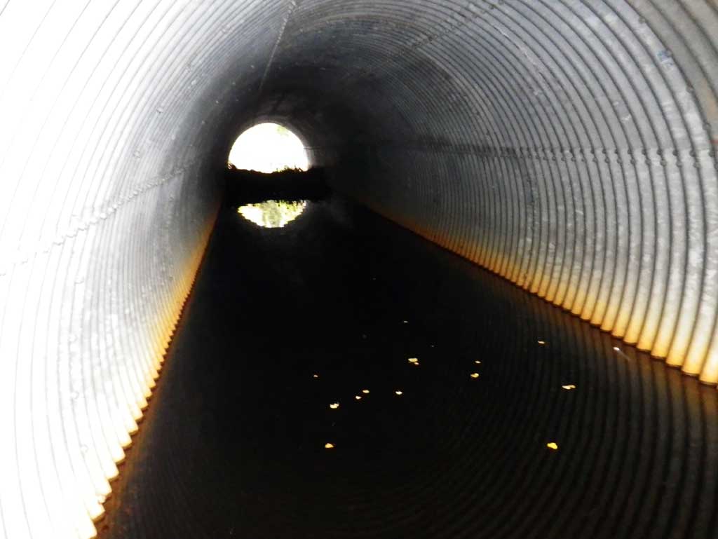
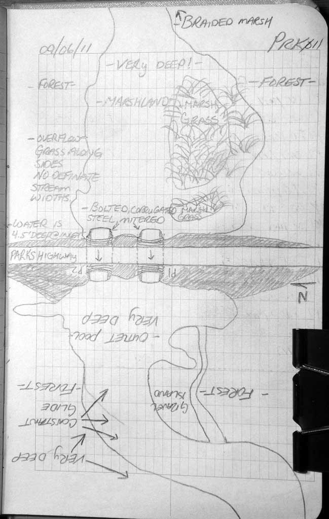
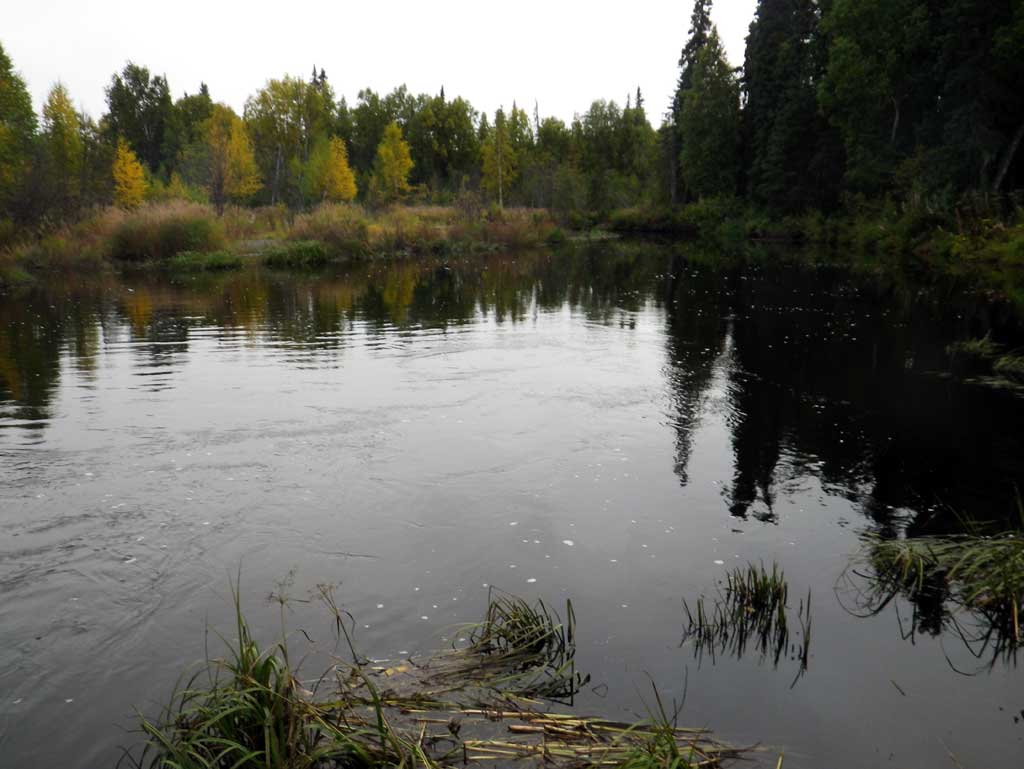
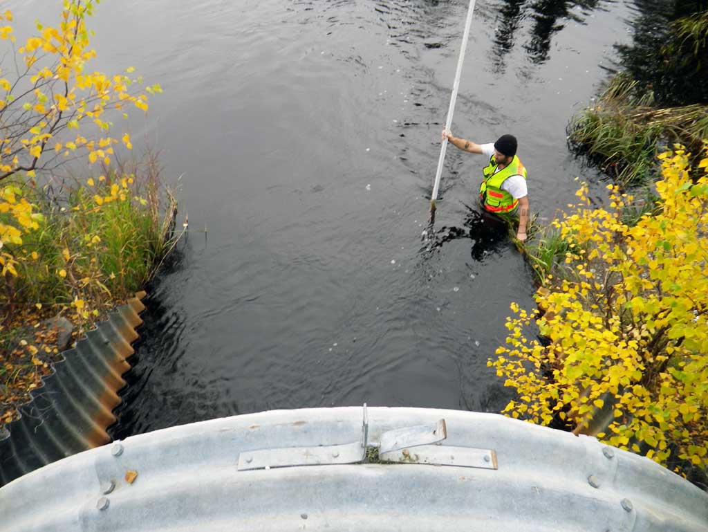
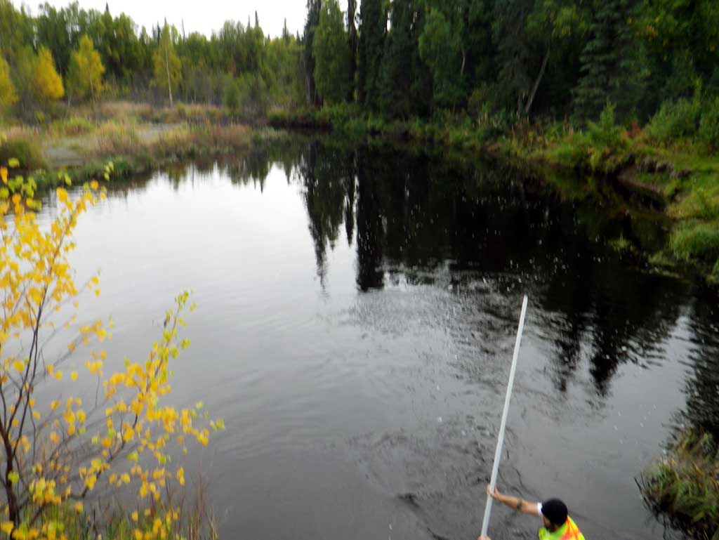
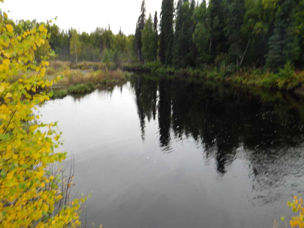
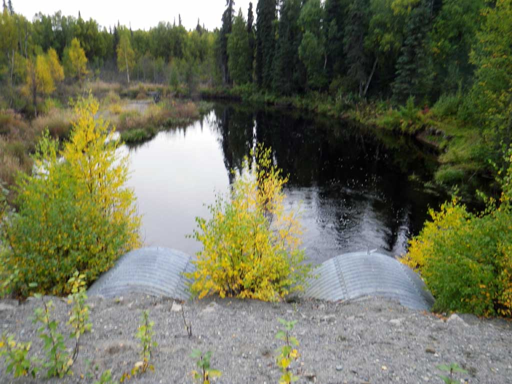
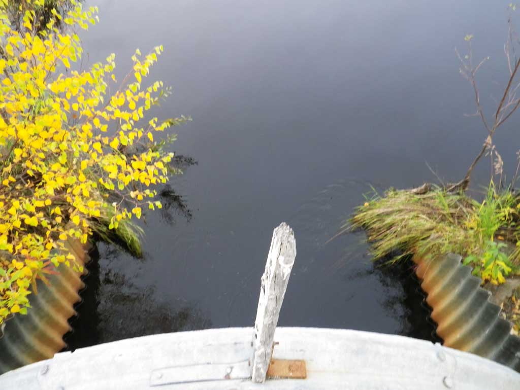
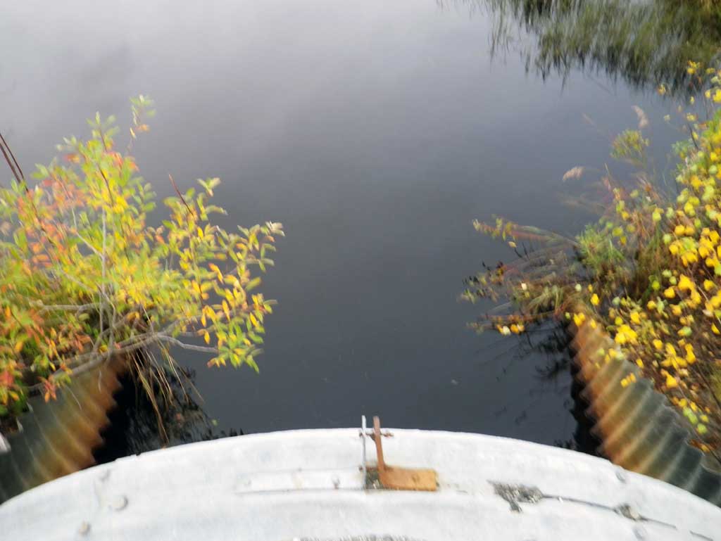
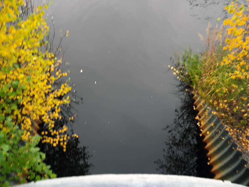
Comments: Water level was about 4.5' deep at outlet and one continuous pool dwst. Inlet water depth was about 4.5' deep as well with flat water through the pipe and in the immediate area. Water depth made measurements difficult. Culvert 1 has a beaver dam near inlet pipe creating some blockage and diverting most water to pipe 2.. Upst area is a ponded marsh with no defined channel. Inlet and outlet measurements were difficult due to high water depth.
Culvert Measurements
| ID: 1 | Structure Type: Circular pipe (Structural steel plate) | Fish Passage Rating: | |||||||||||||||||||||||||||||||||||||||||
|
|
|
|||||||||||||||||||||||||||||||||||||||||
Comments: Total pipe length is equal to 116.9 with each end of miter measuring 11'. Pipe gradient was determined using inverts at the end of the enclosure which was 94.9' in length. |
|||||||||||||||||||||||||||||||||||||||||||
Culvert Observations:
|
|||||||||||||||||||||||||||||||||||||||||||
| ID: 2 | Structure Type: Circular pipe (Structural steel plate) | Fish Passage Rating: | |||||||||||||||||||||||||||||||||||||||||
|
|
|
|||||||||||||||||||||||||||||||||||||||||
Comments: Total pipe length is 117 with each end of the miter being 11'. Pipe gradient was determined with invert at the end of the enclosure which was 95' in length. |
|||||||||||||||||||||||||||||||||||||||||||
Culvert Observations:
|
|||||||||||||||||||||||||||||||||||||||||||
Stream Measurements
|
|
No stream width data available.
Elevations
| Locator ID | Culvert Number |
River Distance (ft)1 |
Distance From Crossing (ft)2 |
Relative Elevation (ft) |
|---|---|---|---|---|
| D/S Water Surface Elev (water surface at end of pipe miters, too deep to measure depths) | 0.00 | 85.55 | ||
| D/S Water Surface Elev (outlet water surface, beaver dam in middle of pipe) | 1 | 11.00 | 85.55 | |
| Outlet Invert (on pipe) | 1 | 11.00 | 80.97 | |
| Outlet Invert (on pipe) | 2 | 11.00 | 81.14 | |
| D/S Water Surface Elev (outlet water surface) | 2 | 11.00 | 85.50 | |
| Outlet Culvert Top | 1 | 11.00 | 93.91 | |
| Outlet Culvert Top | 2 | 11.00 | 93.99 | |
| Road Elev | 81.00 | 100.55 | ||
| Top of Pipe Inlet | 1 | 105.90 | 93.84 | |
| Inlet Culvert Invert (on pipe) | 1 | 105.90 | 81.44 | |
| U/S Water Surface Elev (inlet water surface) | 1 | 105.90 | 85.81 | |
| U/S Water Surface Elev (inlet water surface) | 2 | 105.96 | 85.81 | |
| Inlet Culvert Invert (on pipe) | 2 | 105.96 | 81.25 | |
| Inlet Culvert Top | 2 | 105.96 | 94.00 | |
| U/S Headwater (Upst headwater surface elev. Too deep for stream depths) | 116.96 | 85.85 |
Notes:
- River distance is measured continuously throughout the survey reach along the thalweg of the stream.
- Measured from each end of the crossing along the thalweg of the stream.
Fish Sampling Efforts
No fish sampling occurred during this survey.
Fish Observations
No fish observations occurred during this survey.
Photos
Questions or comments about this report can be directed to dfg.dsf.webmaster@alaska.gov