Fish Passage Site 20501406
Coordinates (dec. deg.): 62.21253°, -150.47340°
Legal Description: S025N007W36
Region: South Central
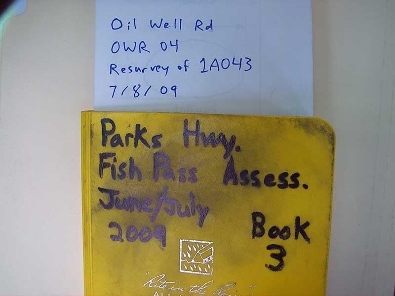
Road Name: Oil Well Road
Datum: NAD83
Quad Name / ITM: Talkeetna A-1
AWC Stream #: 247-41-10200-2081-3100-4155-5008
Stream Name: Cache Creek tributary
Elevation:
Site Comments: SUSITNA RIVER WATERSHED
arrow to the right of the survey date below to choose a different report for this site.
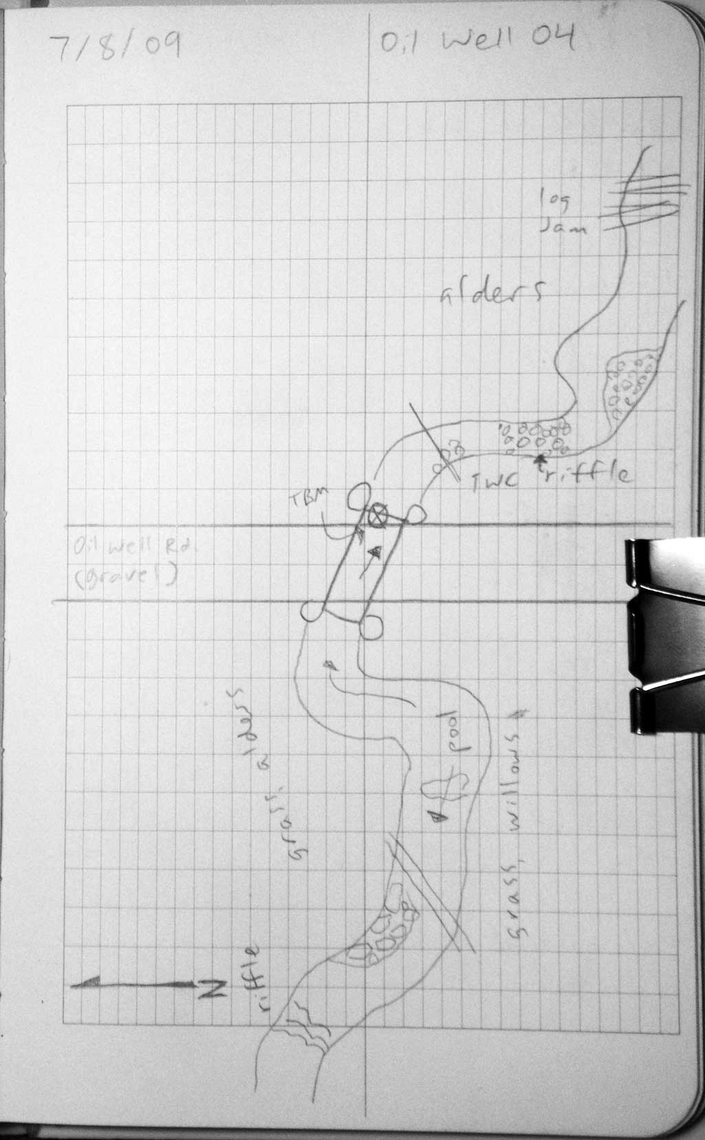
Survey PRK09-OWR04
Project Supervisor: Gillian O'Doherty, ADFG
Observers: Heidi Zimmer, Ben Histand
Overall Fish Passage Rating:
Tidal: No
Backwatered: Yes
Step Pools: No
Construction Year:
Site Observations:
- Shallow fill; inadequate roadfill volume above culvert
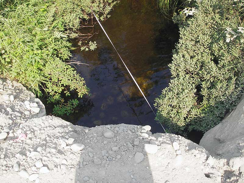
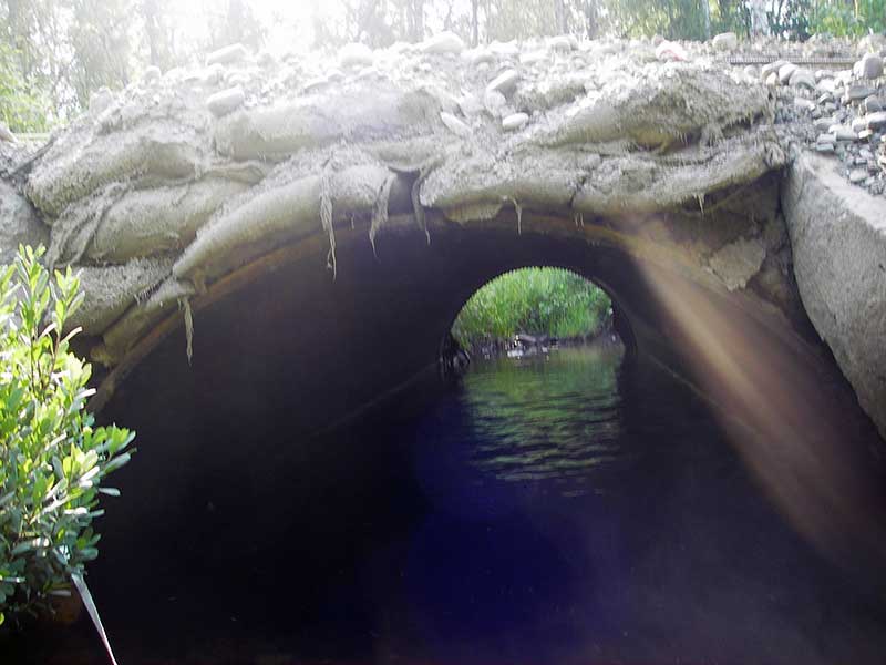
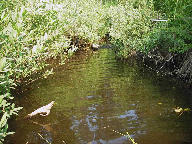
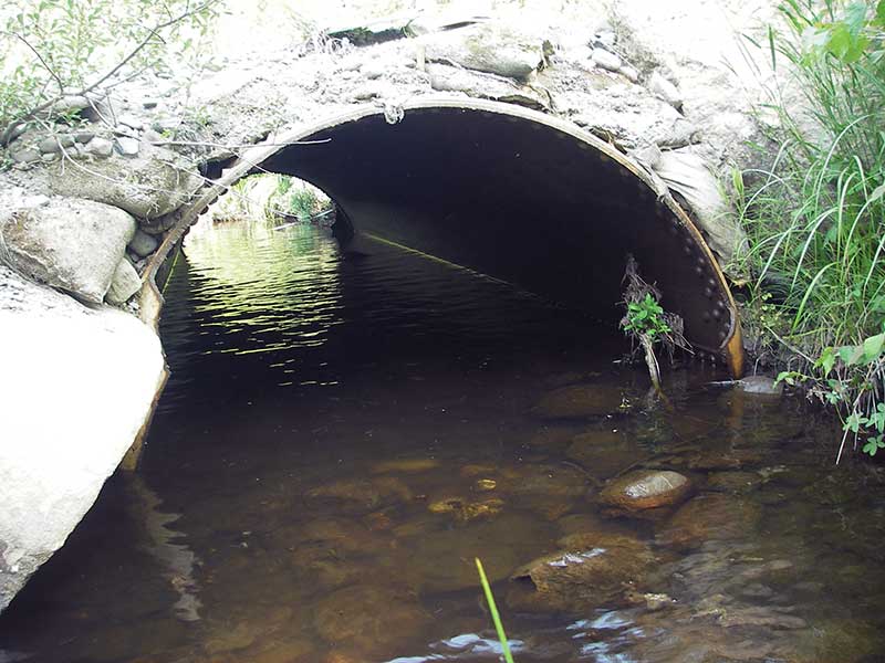
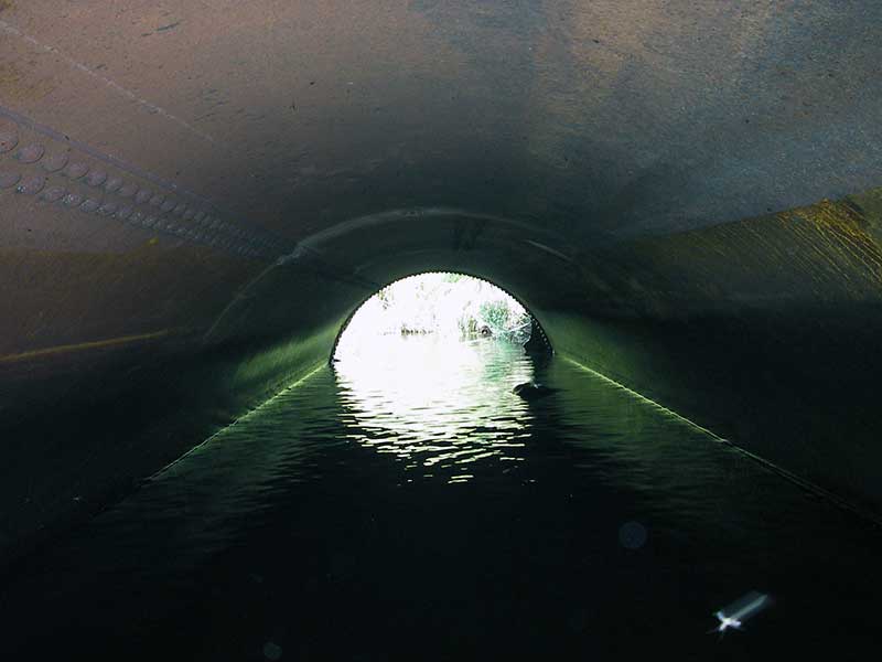
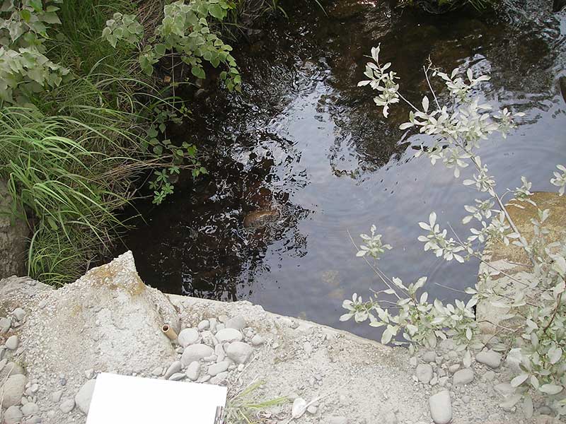
Comments: Resurvey PRK041A043. Pipe is half a metal water tank (?) made into an open-bottom arch. Several salmonid fry obs u/s. pipe slope calc'd based on inverts.
Culvert Measurements
| ID: 1 | Structure Type: Open-bottom arch (Non-corrugated metal) | Fish Passage Rating: | |||||||||||||||||||||||||||||||||||||||||
|
|
|
|||||||||||||||||||||||||||||||||||||||||
Comments: U/S gradient 0.80%; pipe slope calc'd based on inverts |
|||||||||||||||||||||||||||||||||||||||||||
Culvert Observations:
|
|||||||||||||||||||||||||||||||||||||||||||
Stream Measurements
|
|
| Stream Width Type | Distance From Crossing (ft) |
Stream Width (ft) |
|---|---|---|
| Upstream ordinary high water | 55.0 | 7.50 |
| Upstream ordinary high water | 90.0 | 6.00 |
| Upstream ordinary high water | 135.0 | 6.00 |
| Upstream ordinary high water | 200.0 | 5.50 |
Elevations
| Locator ID | Culvert Number |
River Distance (ft)1 |
Distance From Crossing (ft)2 |
Relative Elevation (ft) |
|---|---|---|---|---|
| U/S Headwater | 1 | 96.55 | ||
| Outlet Pool Water Elev | 1 | 96.55 | ||
| D/S Water Surface Elev (WS @ GP) | 1 | 0.00 | 107.0 | 97.38 |
| D/S Water Surface Elev (WS @ GP) | 1 | 27.00 | 80.0 | 96.69 |
| D/S Grade Ctrl (Thalweg) | 1 | 59.00 | 48.0 | 94.40 |
| D/S Water Surface Elev (WS @ GP) | 1 | 59.00 | 48.0 | 94.56 |
| D/S Water Surface Elev (WS @ GP) | 1 | 82.00 | 25.0 | 96.55 |
| D/S Tailcrest or 1st Thalweg | 1 | 96.00 | 11.0 | 96.29 |
| D/S Water Surface Elev (WS @ TWC) | 1 | 96.00 | 11.0 | 96.54 |
| D/S Thalweg | 1 | 103.00 | 4.0 | 95.59 |
| D/S Water Surface Elev (WS @ GP) | 1 | 103.00 | 4.0 | 96.55 |
| Outlet Invert | 1 | 107.00 | 0.0 | 95.45 |
| Road Elev | 1 | 120.00 | 100.55 | |
| Inlet Culvert Invert (in thalweg) | 1 | 133.00 | 0.0 | 95.29 |
| U/S Grade Ctrl (Thalweg) | 1 | 137.00 | 4.0 | 95.62 |
| U/S Grade Ctrl (Thalweg) | 1 | 158.00 | 25.0 | 96.15 |
| U/S Grade Ctrl (Thalweg) | 1 | 213.00 | 80.0 | 96.51 |
| U/S Grade Ctrl (Thalweg) | 1 | 240.00 | 107.0 | 97.30 |
Notes:
- River distance is measured continuously throughout the survey reach along the thalweg of the stream.
- Measured from each end of the crossing along the thalweg of the stream.
Fish Sampling Efforts
| Gear Type: Visual Observation, Ground (A) | ||
| Comments: Unidentified salmonids upstream from culvert about 5 cm in length. | ||
Fish Observations
No fish observations occurred during this survey.
Photos

Questions or comments about this report can be directed to dfg.dsf.webmaster@alaska.gov