Fish Passage Site 20501404
Coordinates (dec. deg.): 62.23803°, -150.43974°
Legal Description: S025N006W20
Region: South Central
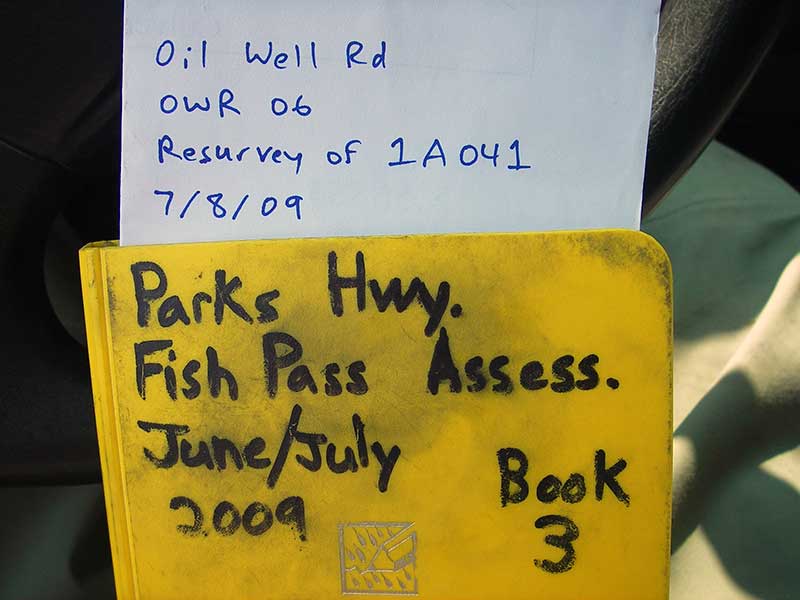
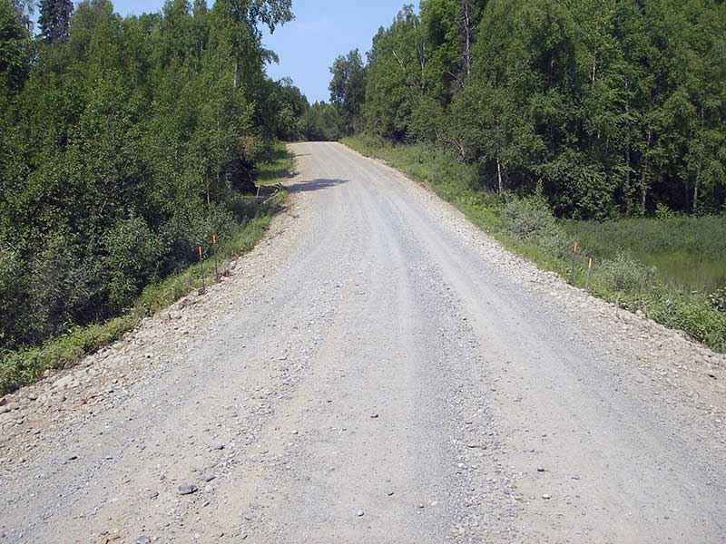
Road Name: Oil Well Road
Datum: NAD83
Quad Name / ITM: Talkeetna A-1
AWC Stream #:
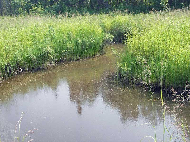
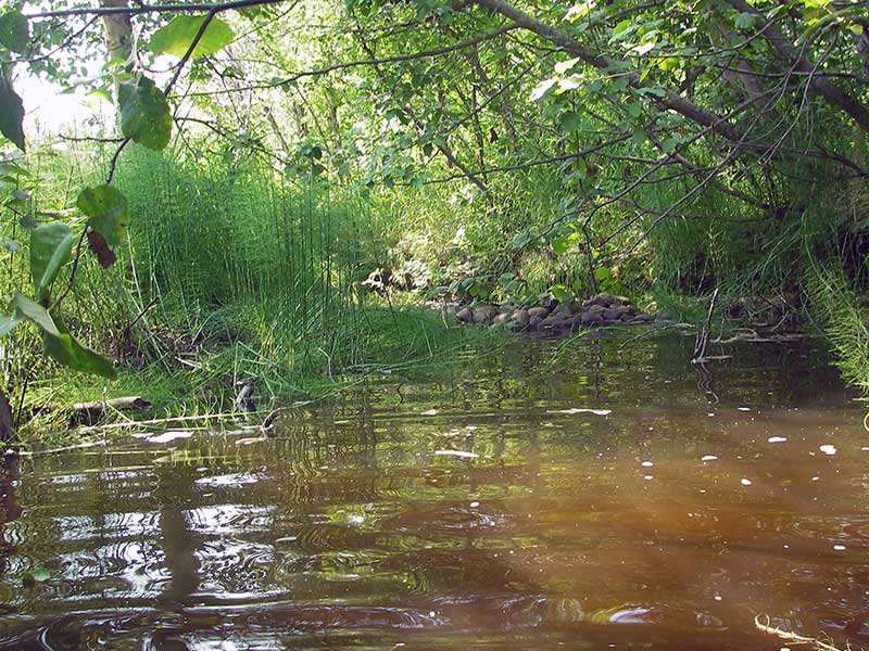
Stream Name: Moose Creek tributary
Elevation:
Site Comments: SUSITNA RIVER WATERSHED
arrow to the right of the survey date below to choose a different report for this site.
Survey PRK09-OWR06
Project Supervisor: Gillian O'Doherty, ADFG
Observers: Heidi Zimmer, Ben Histand
Overall Fish Passage Rating:
Tidal: No
Backwatered: No
Step Pools:
Construction Year:
Site Observations:
- Outfall height gray
- Constriction ratio red
- Mechanical damage or joints parting
- Culvert sagging in middle
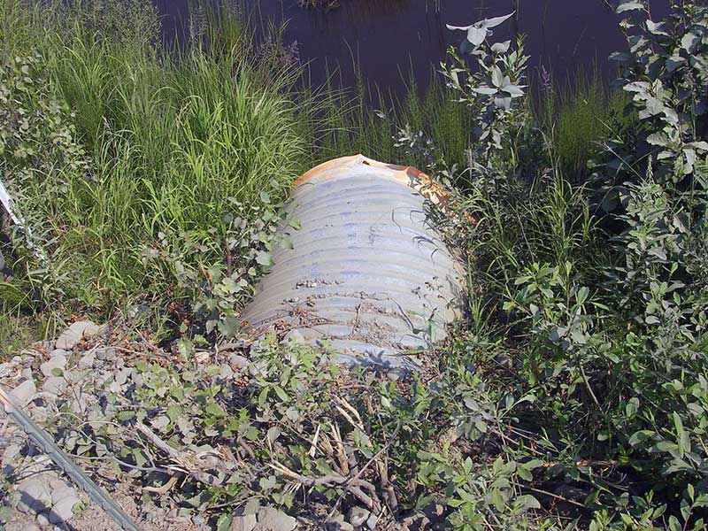
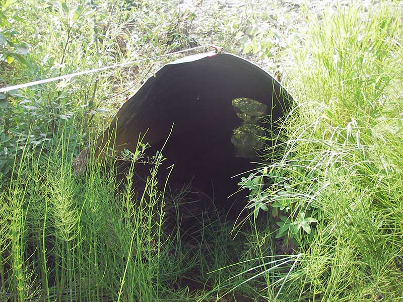
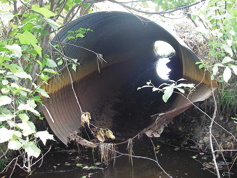
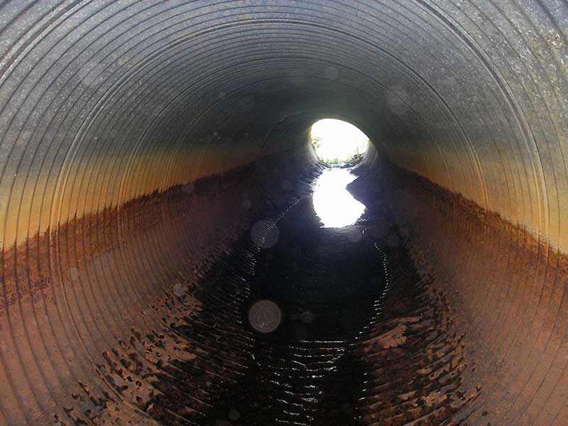
Comments: Resurvey PRK041A041. Bottom of pipe is rusted/disintegrating. No pipe inverts at ends, so invert elevs 2.5' inside pipe
Culvert Measurements
| ID: 1 | Structure Type: Circular pipe (Corrugated steel) | Fish Passage Rating: | |||||||||||||||||||||||||||||||||||||||||
|
|
|
|||||||||||||||||||||||||||||||||||||||||
Comments: Site is no longer backwatered. Culvert has rusted out and water is running through holes in the bottom of the culvert. |
|||||||||||||||||||||||||||||||||||||||||||
Culvert Observations:
|
|||||||||||||||||||||||||||||||||||||||||||
Stream Measurements
|
|
| Stream Width Type | Distance From Crossing (ft) |
Stream Width (ft) |
|---|---|---|
| Upstream ordinary high water | 140.0 | 11.00 |
| Upstream ordinary high water | 180.0 | 9.50 |
| Upstream ordinary high water | 220.0 | 10.00 |
Elevations
| Locator ID | Culvert Number |
River Distance (ft)1 |
Distance From Crossing (ft)2 |
Relative Elevation (ft) |
|---|---|---|---|---|
| Outlet Pool Water Elev | 1 | 95.60 | ||
| U/S Headwater | 1 | 96.15 | ||
| D/S Grade Ctrl (Thalweg) | 1 | 0.00 | 51.0 | 94.81 |
| D/S Water Surface Elev (WS @ GP) | 1 | 0.00 | 51.0 | 94.86 |
| D/S Tailcrest or 1st Thalweg | 1 | 25.00 | 26.0 | 95.50 |
| D/S Water Surface Elev (WS @ TWC) | 1 | 25.00 | 26.0 | 95.60 |
| D/S Thalweg (bottom of out pool) | 1 | 38.50 | 12.5 | 93.08 |
| D/S Thalweg (streambed end of pipe--invert rusted away) | 1 | 51.00 | 0.0 | 94.39 |
| Outlet Invert (calculated from top of pipe) | 1 | 51.00 | 0.0 | 95.77 |
| Outlet Culvert Top (top of pipe 2.3' from outlet end of pipe) | 1 | 53.30 | -2.3 | 99.77 |
| Road Elev | 1 | 73.00 | 103.55 | |
| Inlet Culvert Invert (calculated from top of pipe) | 1 | 92.50 | -2.5 | 95.83 |
| Inlet Culvert Top (top of pipe 2.5' from inlet end of pipe) | 1 | 92.50 | -2.5 | 99.78 |
| U/S Thalweg (streambed end of pipe--invert rusted away) | 1 | 95.00 | 0.0 | 95.67 |
| U/S Grade Ctrl (Thalweg) (WS same as headwater) | 1 | 96.00 | 1.0 | 95.82 |
Notes:
- River distance is measured continuously throughout the survey reach along the thalweg of the stream.
- Measured from each end of the crossing along the thalweg of the stream.
Fish Sampling Efforts
No fish sampling occurred during this survey.
Fish Observations
No fish observations occurred during this survey.
Photos

Questions or comments about this report can be directed to dfg.dsf.webmaster@alaska.gov