Fish Passage Site 20501404
Coordinates (dec. deg.): 62.23803°, -150.43974°
Legal Description: S025N006W20
Region: South Central
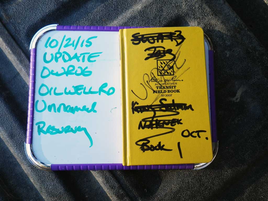
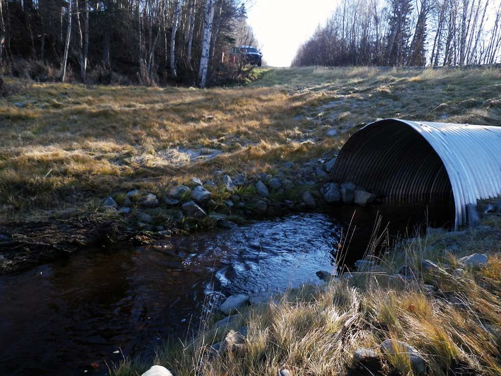
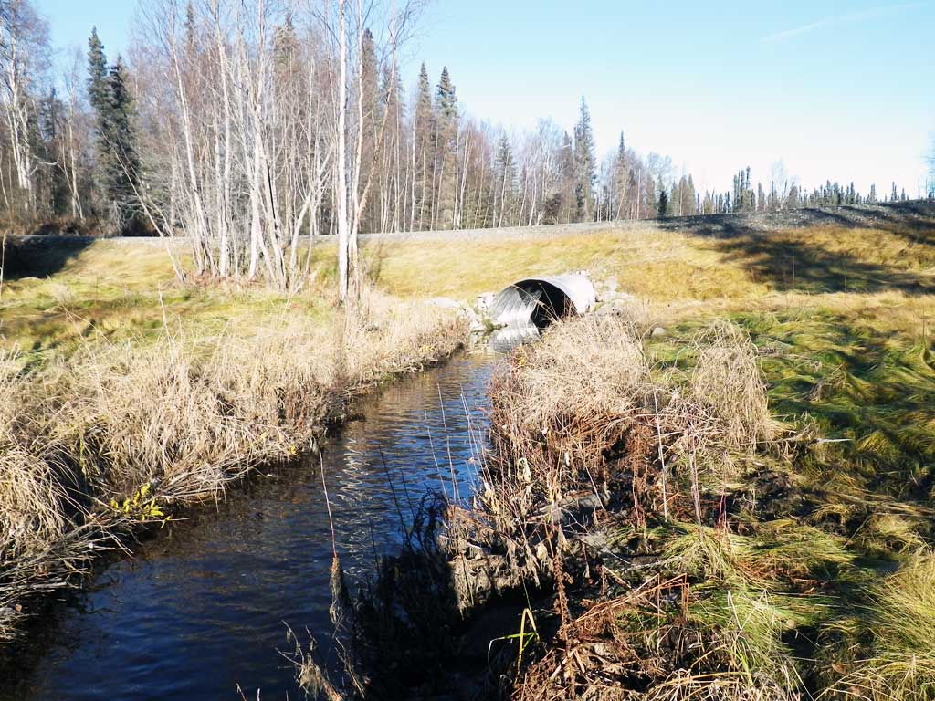
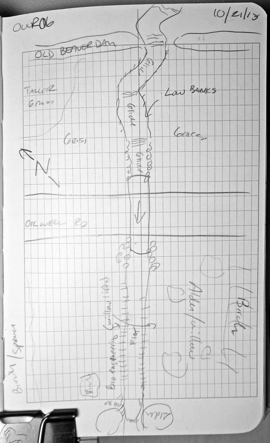
Road Name: Oil Well Road
Datum: NAD83
Quad Name / ITM: Talkeetna A-1
AWC Stream #:
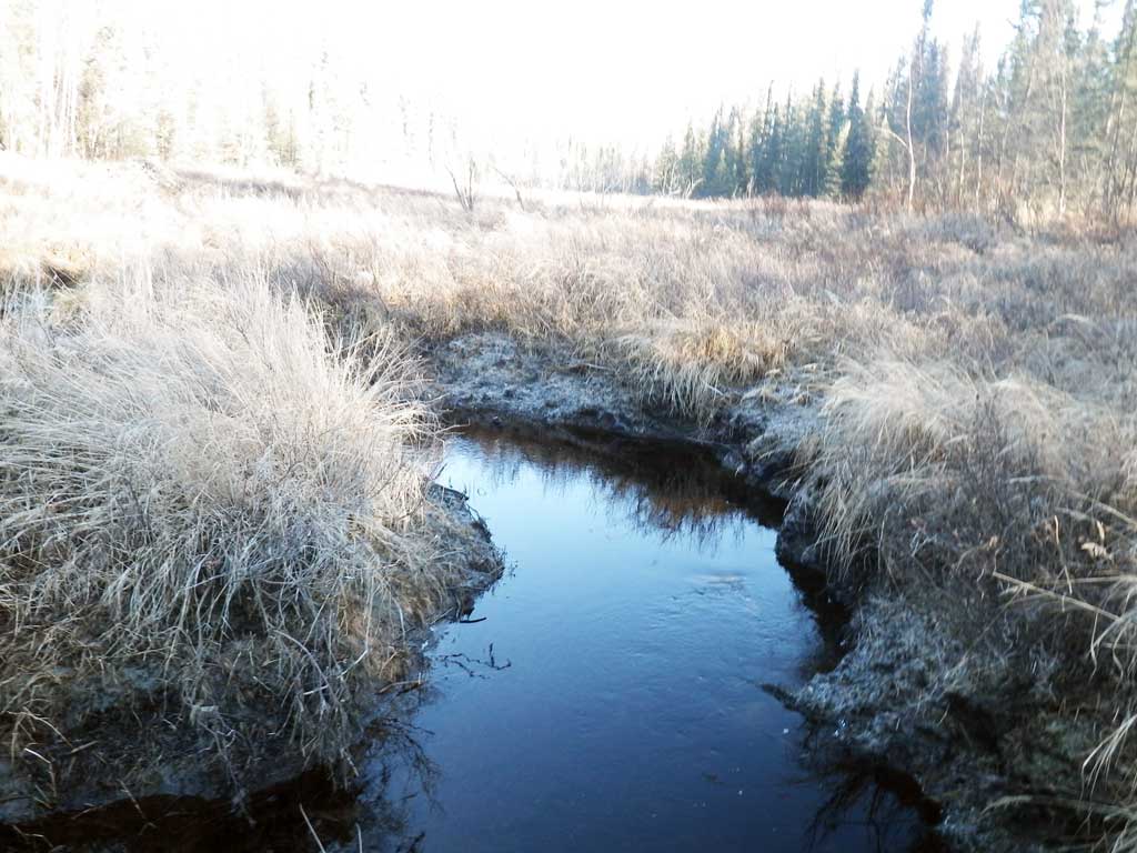
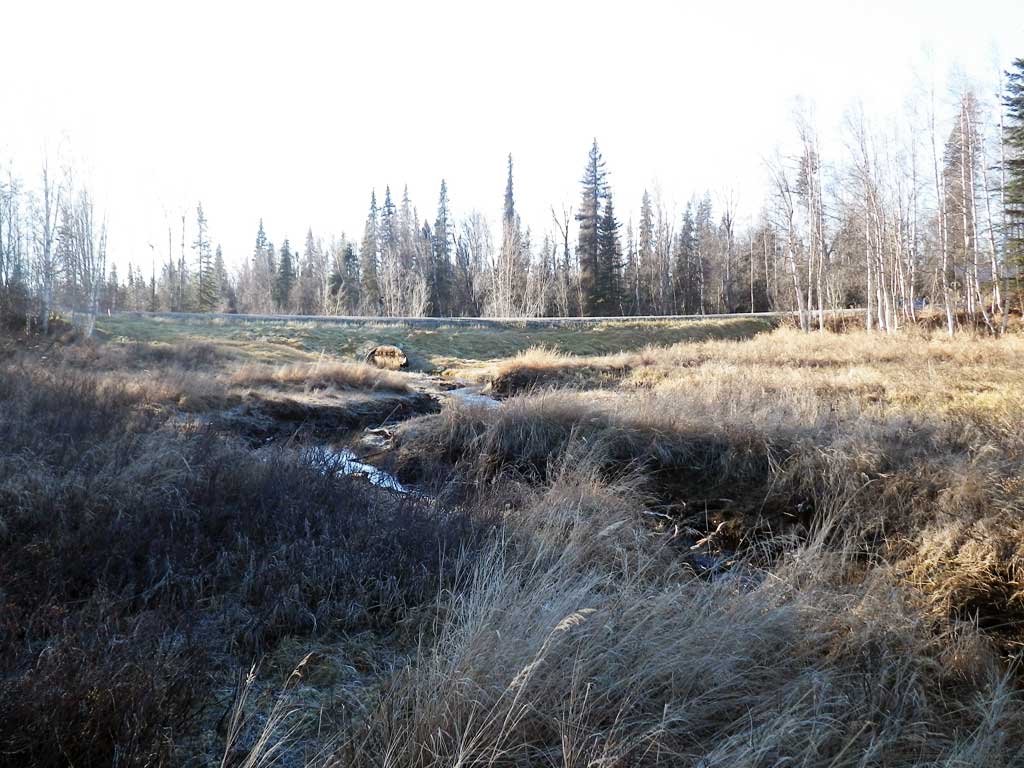
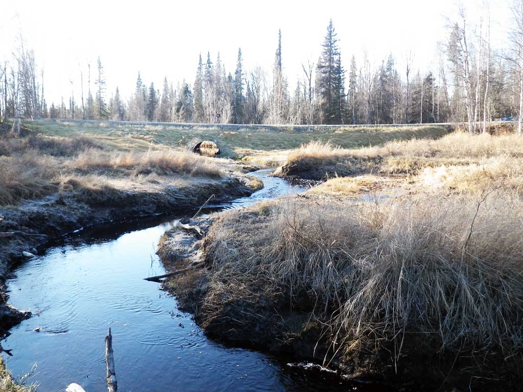
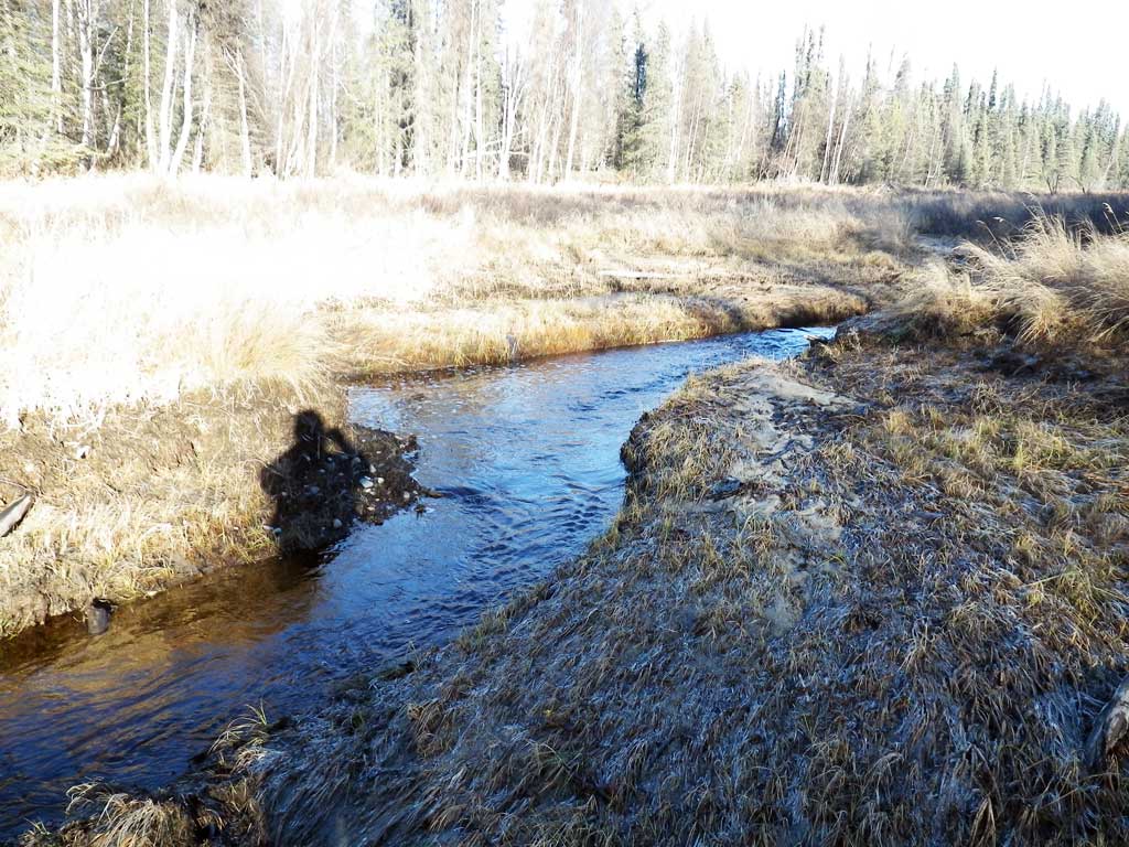
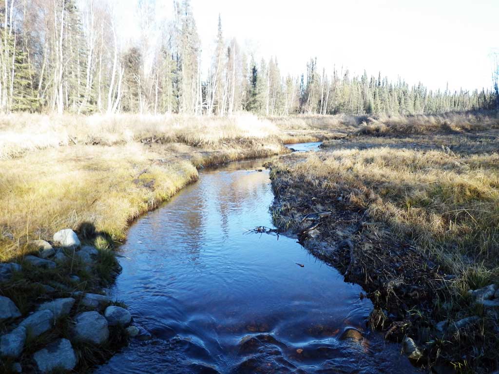
Stream Name: Moose Creek tributary
Elevation:
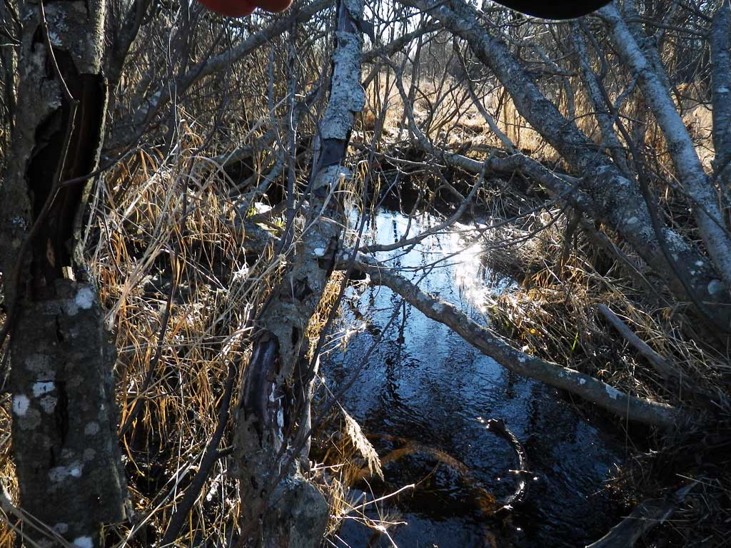
Site Comments: SUSITNA RIVER WATERSHED
arrow to the right of the survey date below to choose a different report for this site.
Survey UPDATE-OWR06
Project Supervisor: Gillian O'Doherty, ADFG
Observers: Gillian O'Doherty, Mark Eisenman
Overall Fish Passage Rating:
Tidal: No
Backwatered: No
Step Pools: No
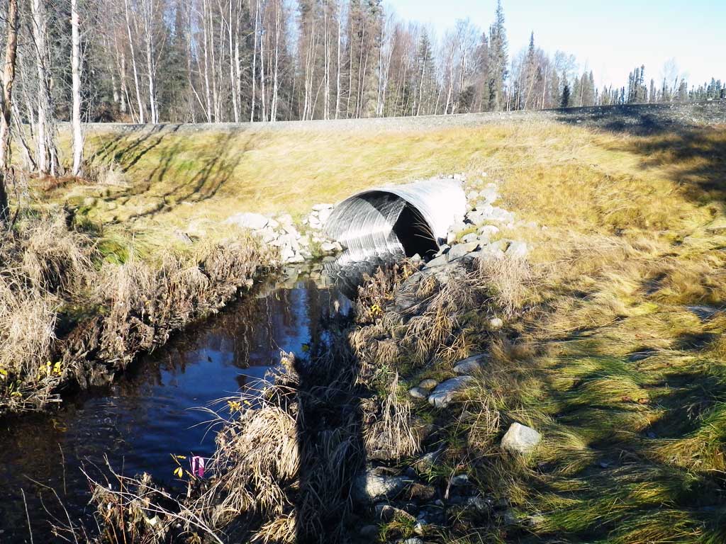
Construction Year: 2014
Site Observations:
- None of this type
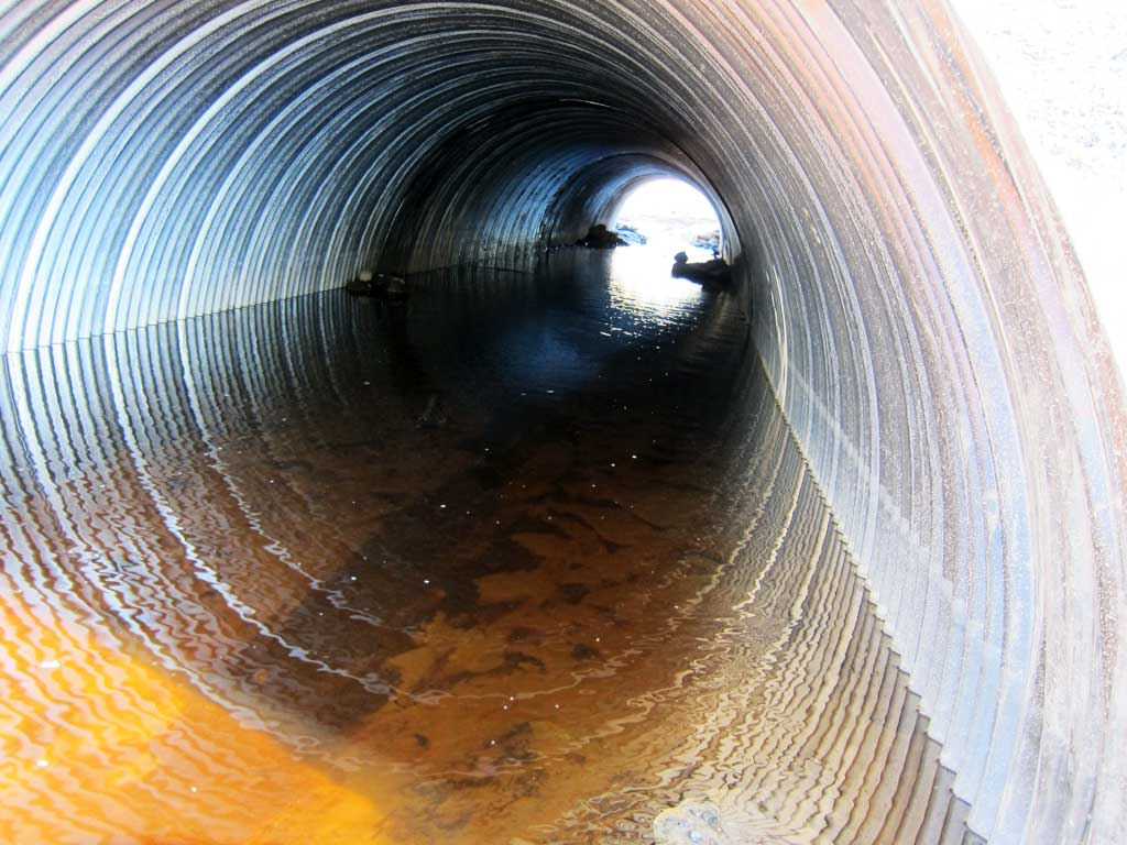
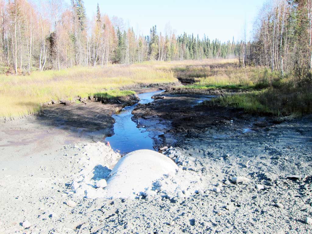
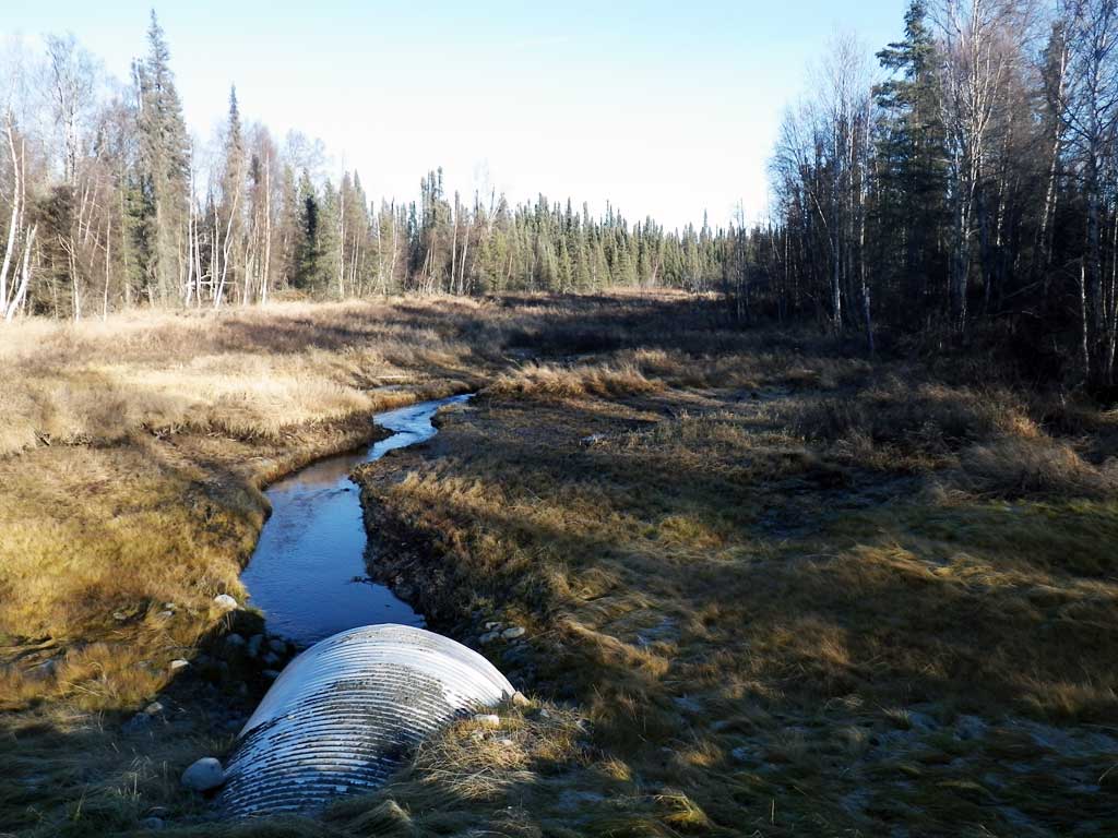
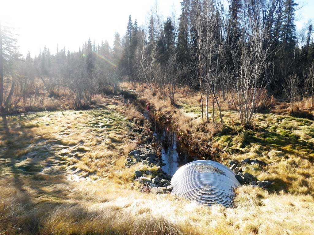
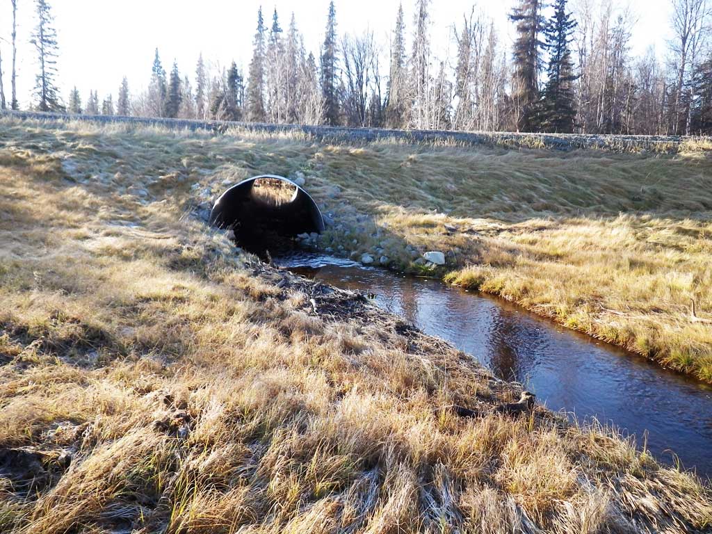
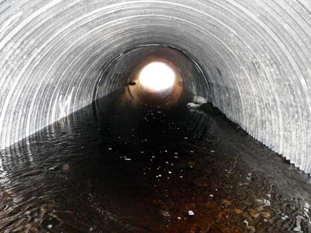
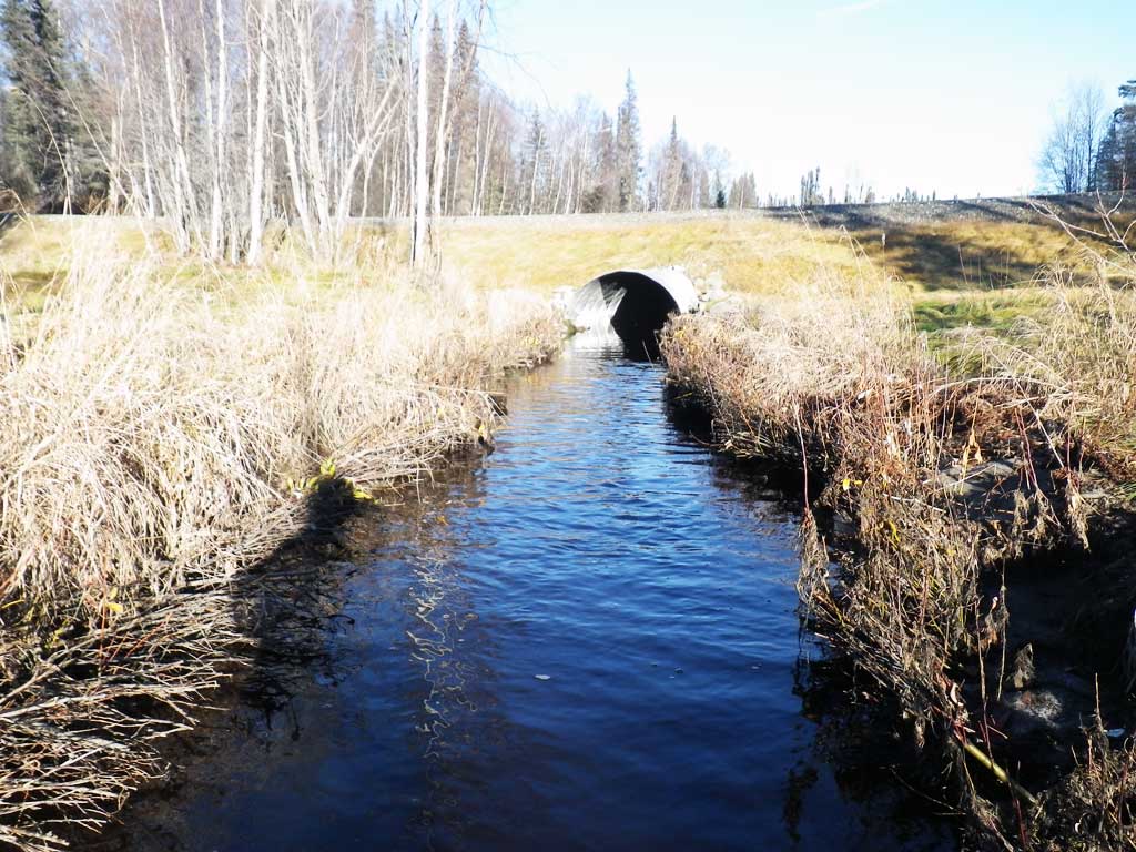
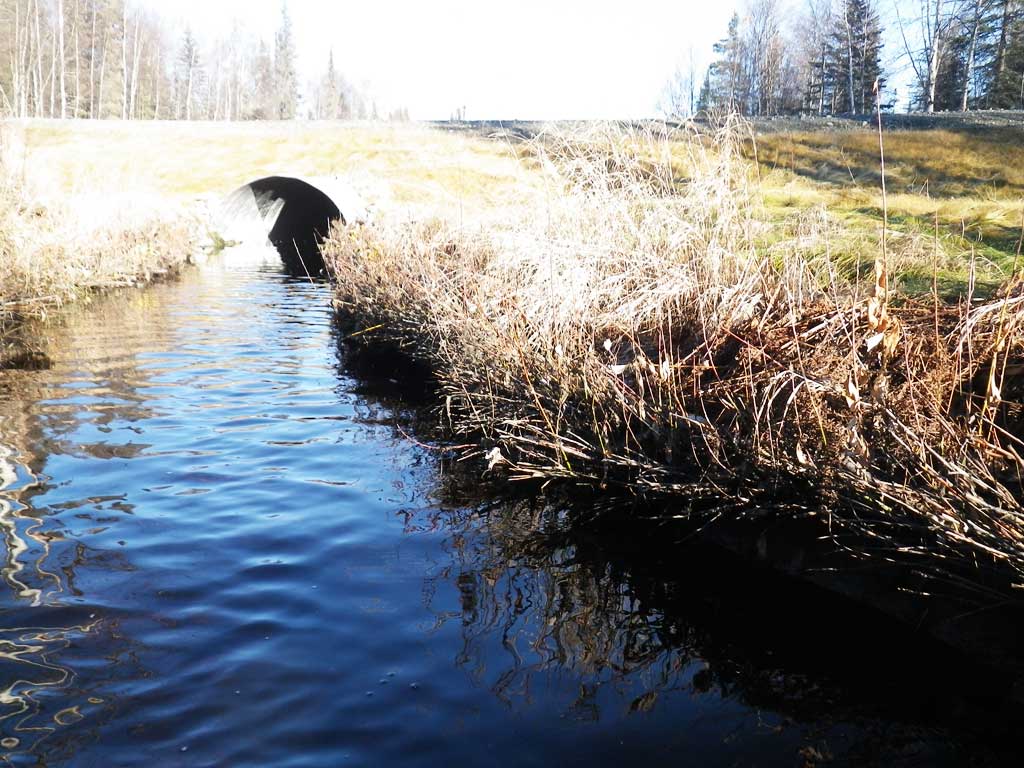
Comments: Replaced in 2014, Site Resurveyed 10/21/15. Site is almost backwatered. Fish (Coho) caught upstream and downstream of culvert. 5 Coho caught upstream, 2 downstream.
Culvert Measurements
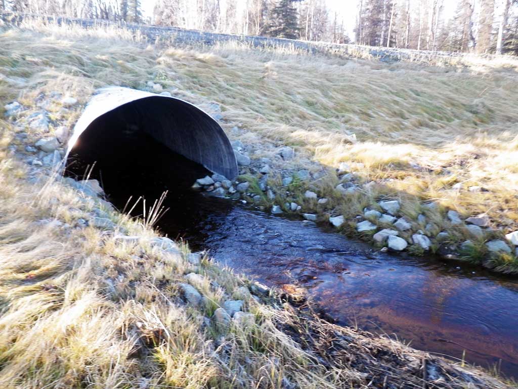
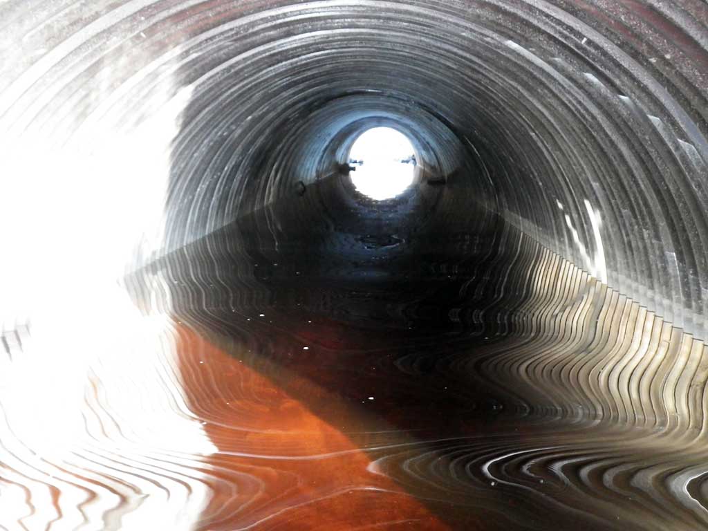
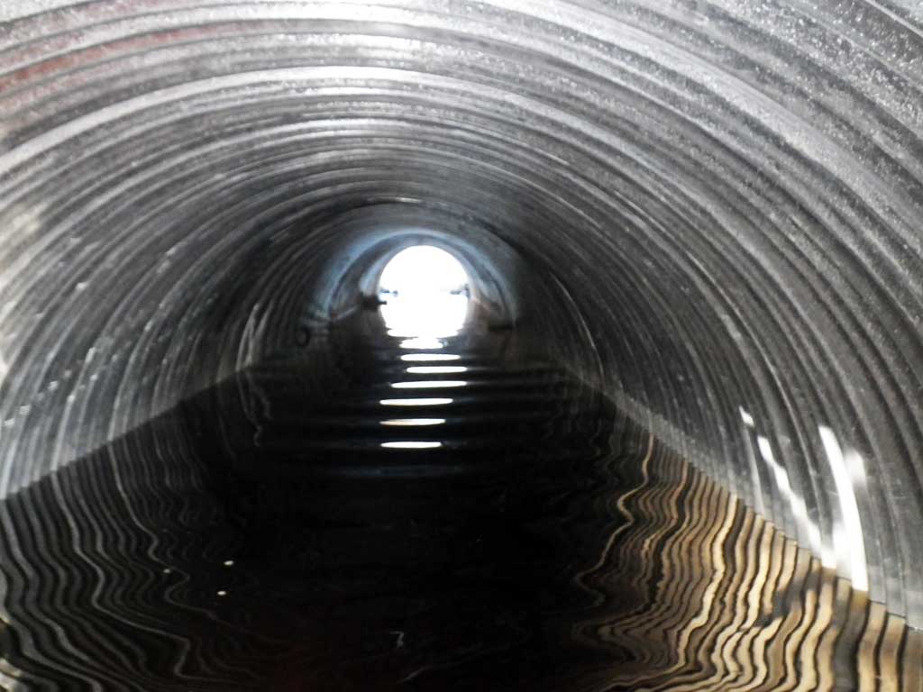
| ID: 1 | Structure Type: Circular pipe (Corrugated aluminum) | Fish Passage Rating: | ||||||||||||||||||||||||||||||||||||||||||
|
|
|
||||||||||||||||||||||||||||||||||||||||||
Culvert Observations:
|
||||||||||||||||||||||||||||||||||||||||||||
Stream Measurements
|
|
| Stream Width Type | Distance From Crossing (ft) |
Stream Width (ft) |
|---|---|---|
| Upstream ordinary high water | 7.90 | |
| Upstream ordinary high water | 7.60 | |
| Upstream ordinary high water | 8.40 |
Elevations
| Locator ID | Culvert Number |
River Distance (ft)1 |
Distance From Crossing (ft)2 |
Relative Elevation (ft) |
|---|---|---|---|---|
| Road Elev | 105.94 | |||
| Outlet Culvert Top | 0.00 | 99.47 | ||
| Outlet Invert (On substrate) | 0.00 | 93.82 | ||
| D/S Water Surface Elev | 0.00 | 95.53 | ||
| U/S Water Surface Elev | 80.60 | 95.55 | ||
| Inlet Culvert Invert (On substrate) | 80.60 | 94.68 | ||
| Inlet Culvert Top | 80.60 | 100.32 |
Notes:
- River distance is measured continuously throughout the survey reach along the thalweg of the stream.
- Measured from each end of the crossing along the thalweg of the stream.
Fish Sampling Efforts
| Gear Type: Minnow Trap (A) | Trap Duration(h): 0.6 | |
| Gear Type: Minnow Trap (B) | Trap Duration(h): 0.6 | |
Fish Observations
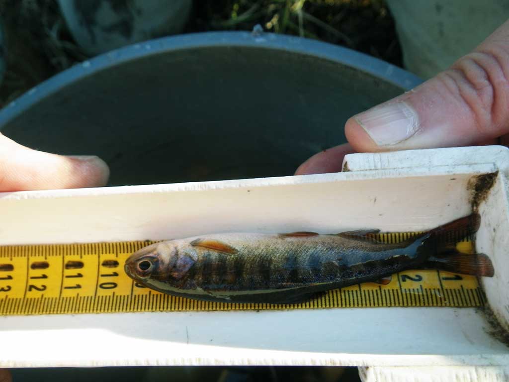
| Species: juvenile coho salmon | Life History: Anadromous | ||
| Total Fish Observed: 7 | Fish Measured: 7 | Fork Lengths (mm) Min: 109 Max: 125 Mean: 113 | |
| Collected/Observed by Gear Type: Downstream Minnow Trap (2) Upstream Minnow Trap (5) | |||
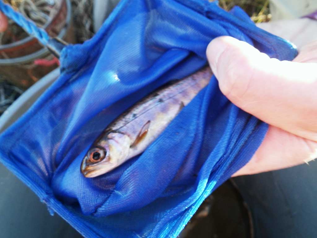
| Species: adult threespine stickleback | Life History: Unknown | ||
| Total Fish Observed: 3 | Fish Measured: | Fork Lengths (mm) Min: Max: Mean: | |
| Collected/Observed by Gear Type: Upstream Minnow Trap (3) | |||
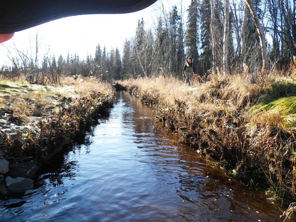
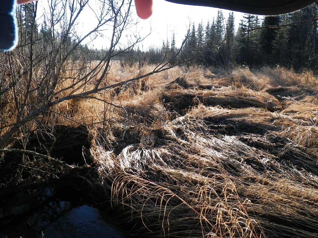
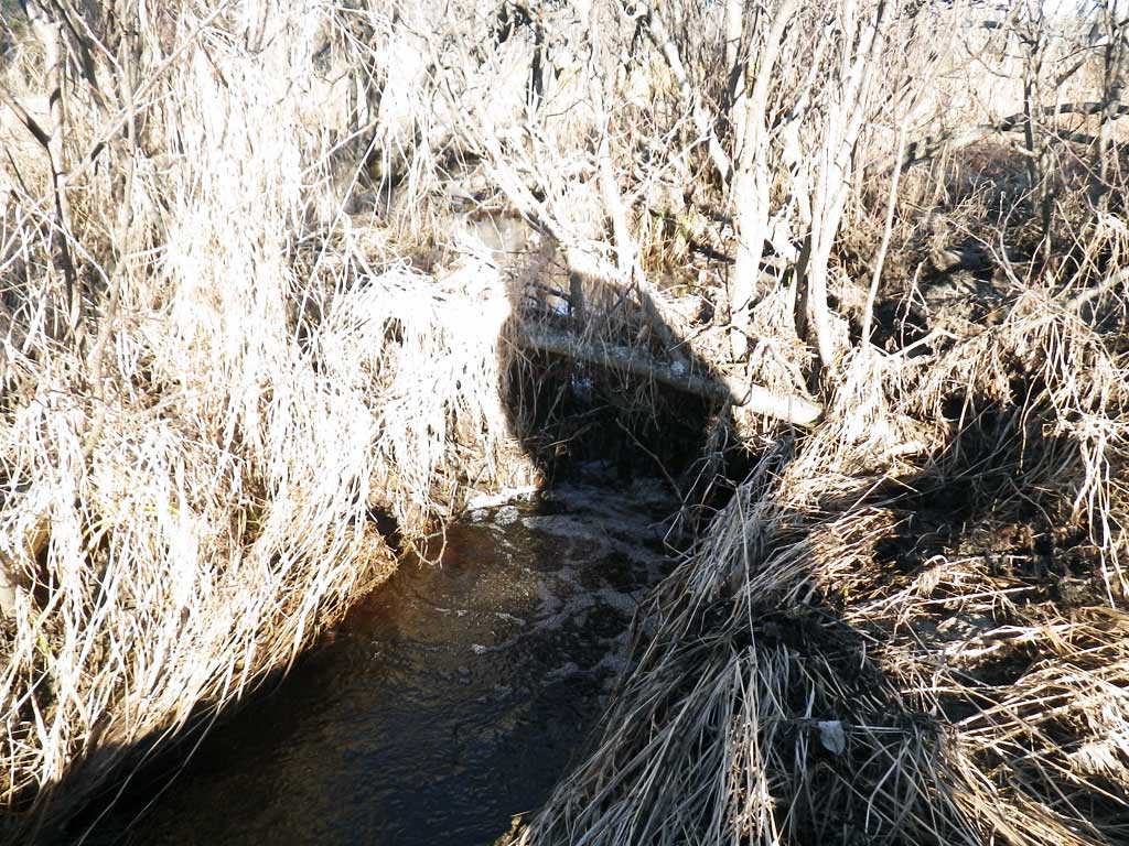
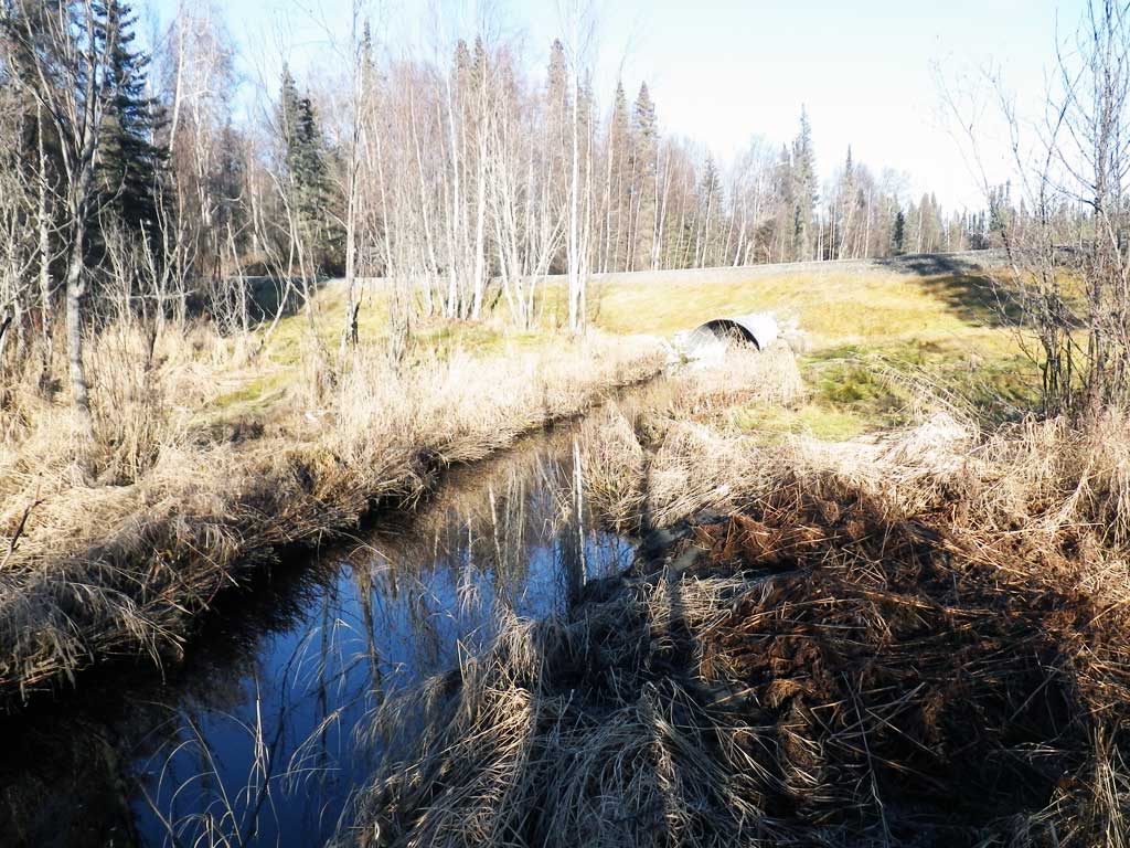
Photos


Questions or comments about this report can be directed to dfg.dsf.webmaster@alaska.gov