Fish Passage Site 20501403
Coordinates (dec. deg.): 62.28347°, -150.42348°
Legal Description: S025N006W05
Region: South Central
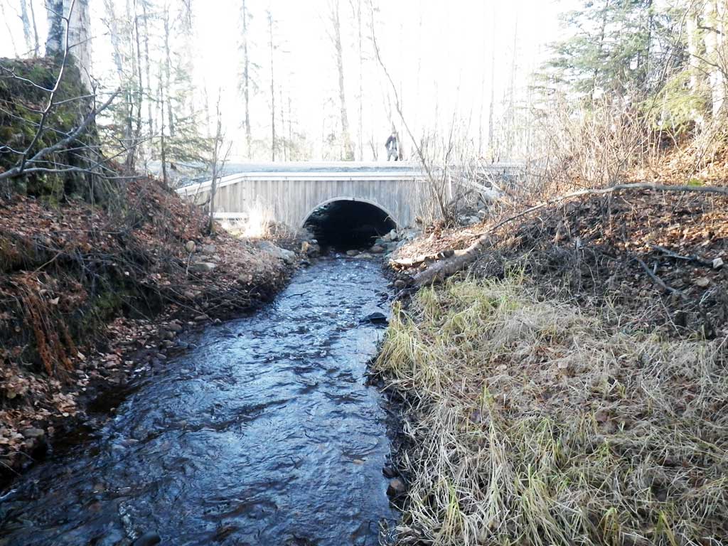
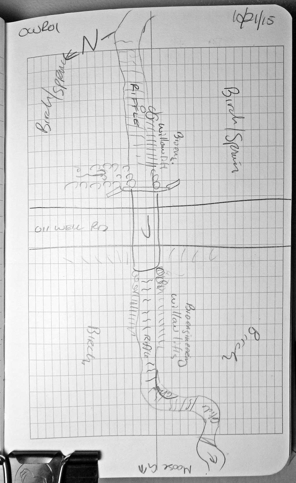
Road Name: Oil Well Road
Datum: NAD83
Quad Name / ITM: Talkeetna B-1
AWC Stream #:
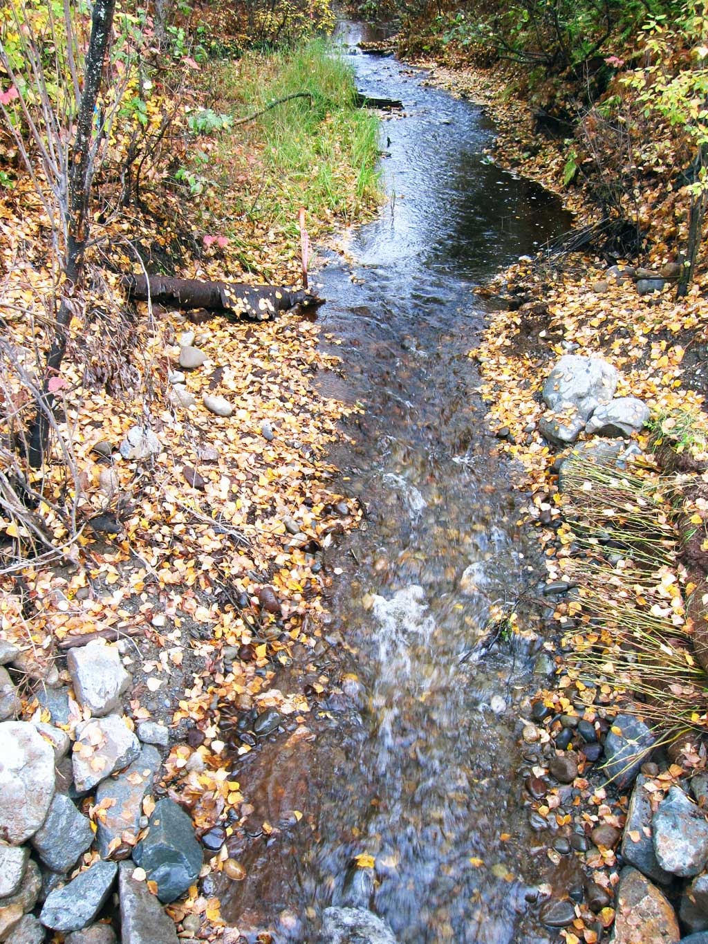
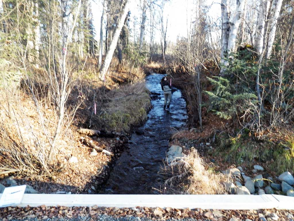
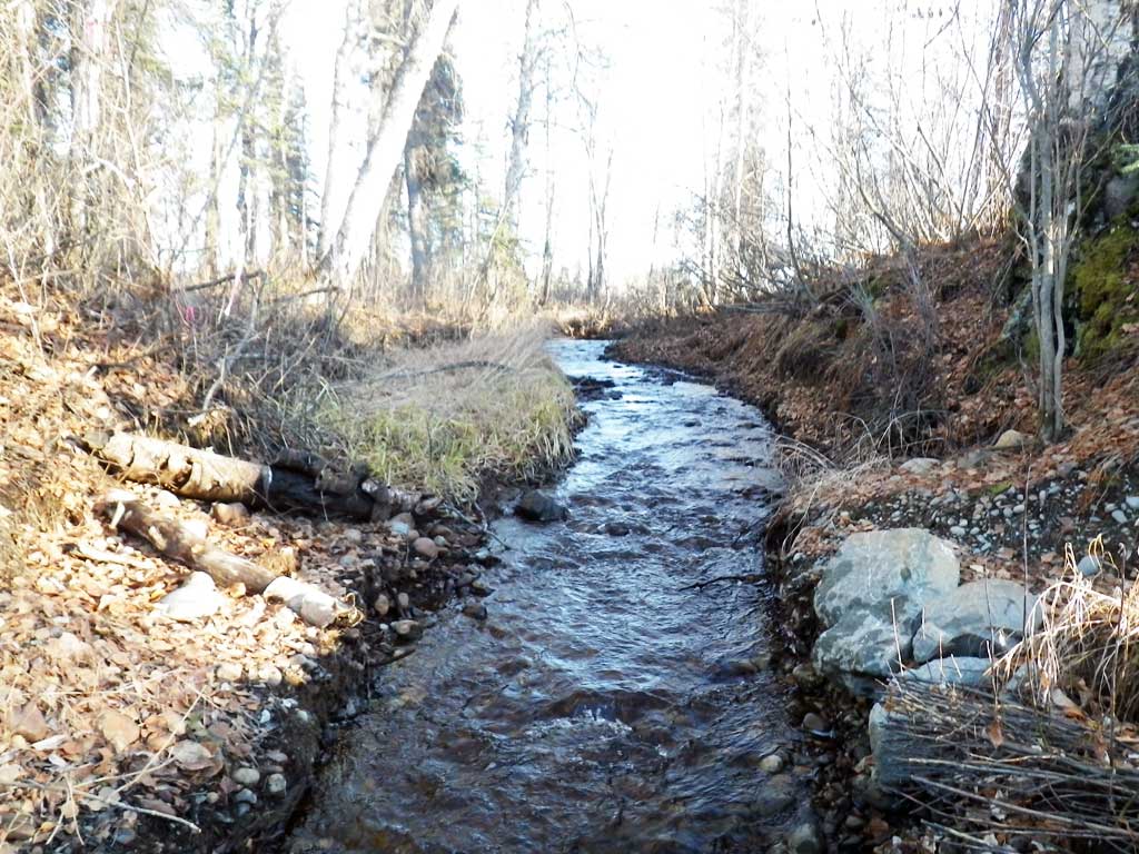
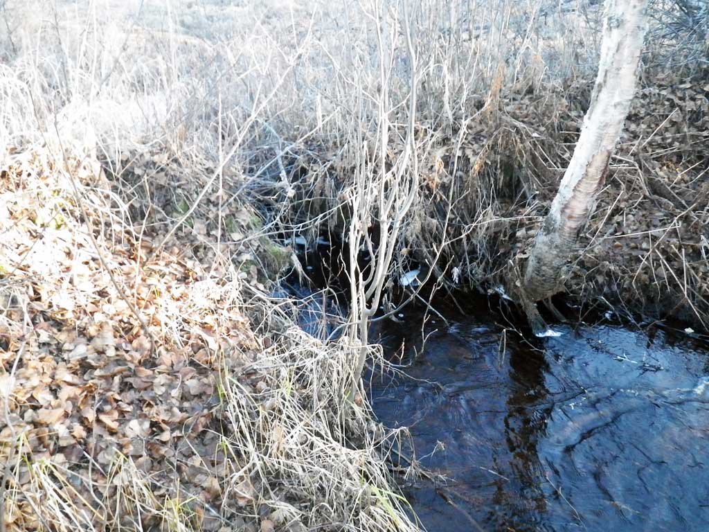
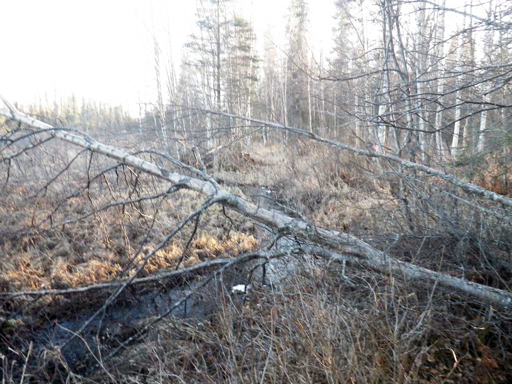
Stream Name: Moose Creek tributary
Elevation:
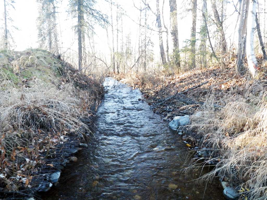
Site Comments: SUSITNA RIVER WATERSHED
arrow to the right of the survey date below to choose a different report for this site.
Survey UPDATE-OWR01
Project Supervisor: Gillian O'Doherty, ADFG
Observers: Gillian O'Doherty
Overall Fish Passage Rating:
Tidal: No
Backwatered: No
Step Pools: No
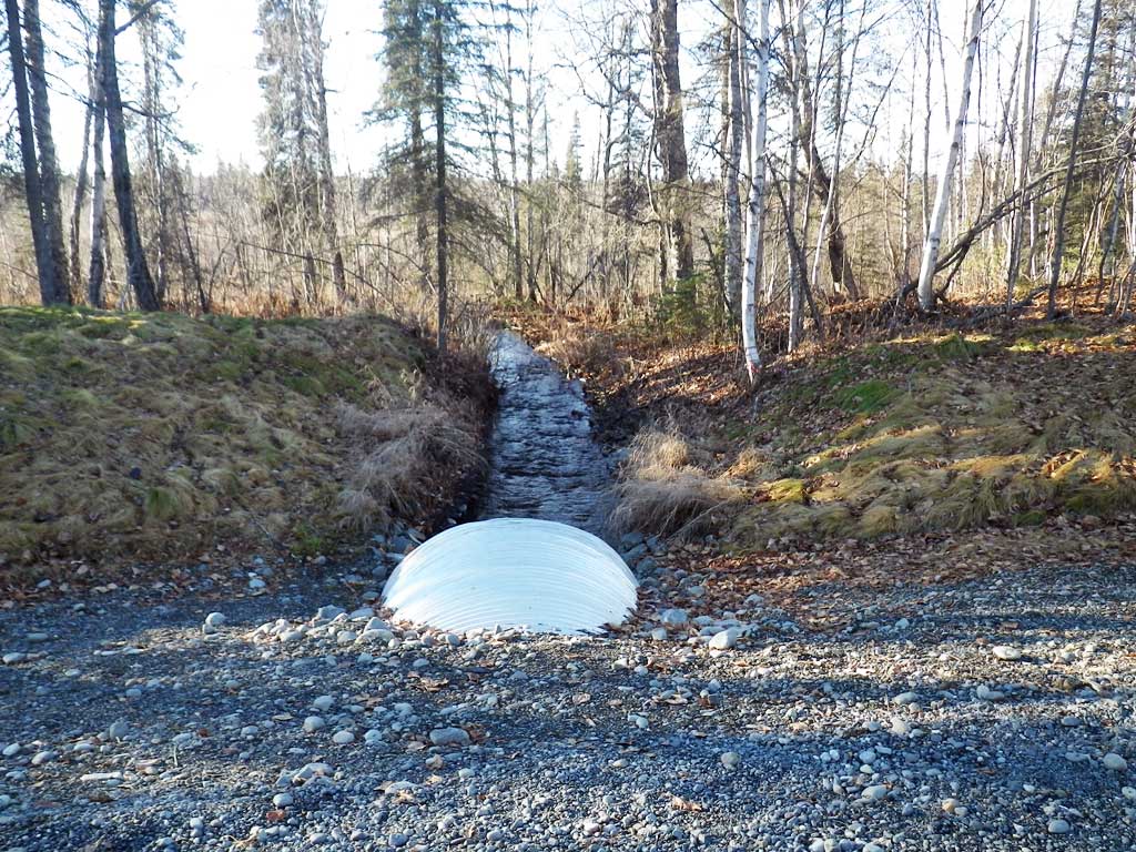
Construction Year: 2014
Site Observations:
- None of this type
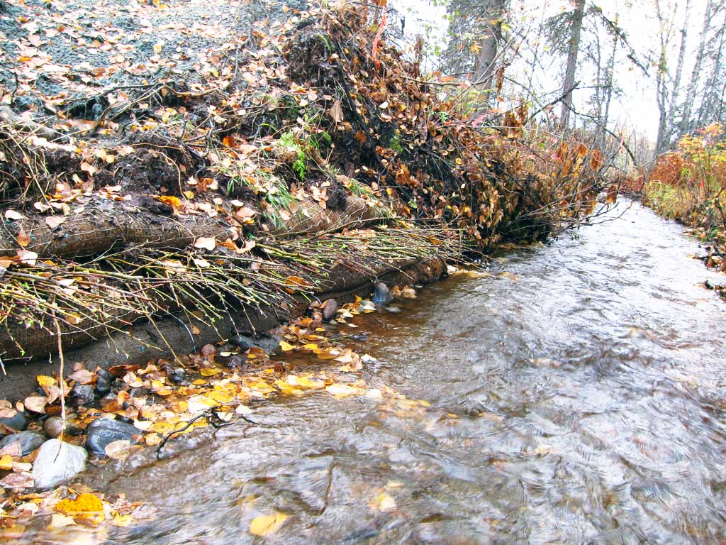
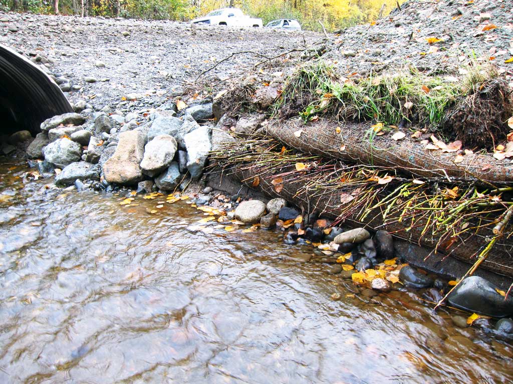
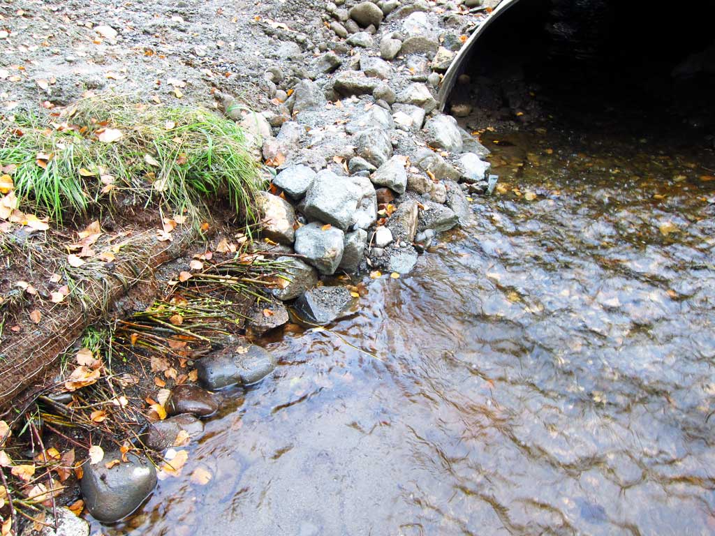
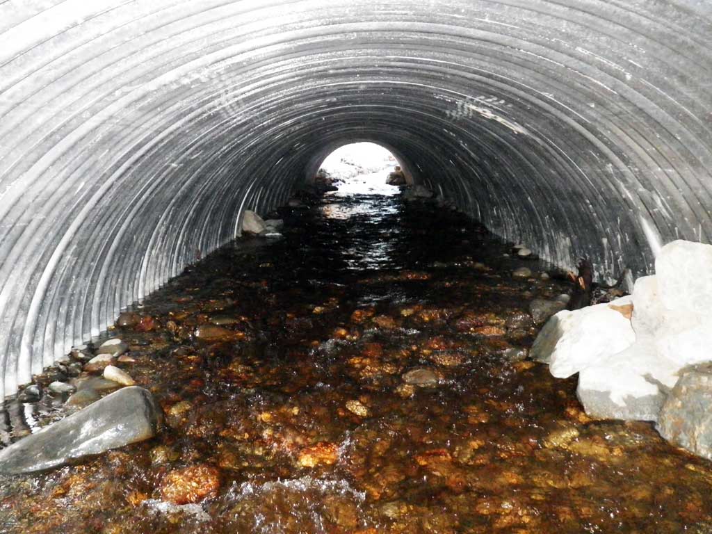
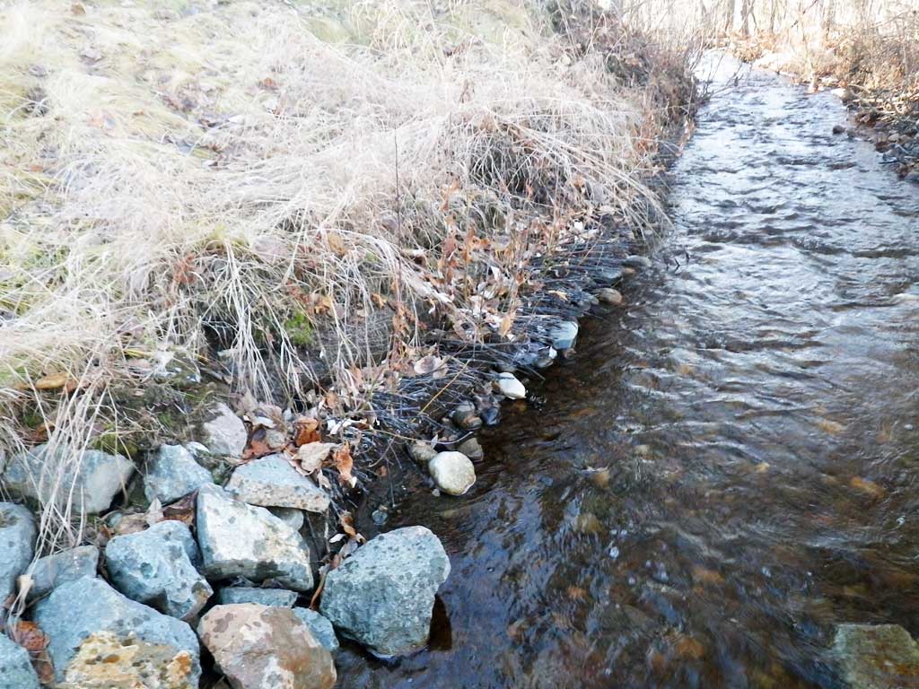
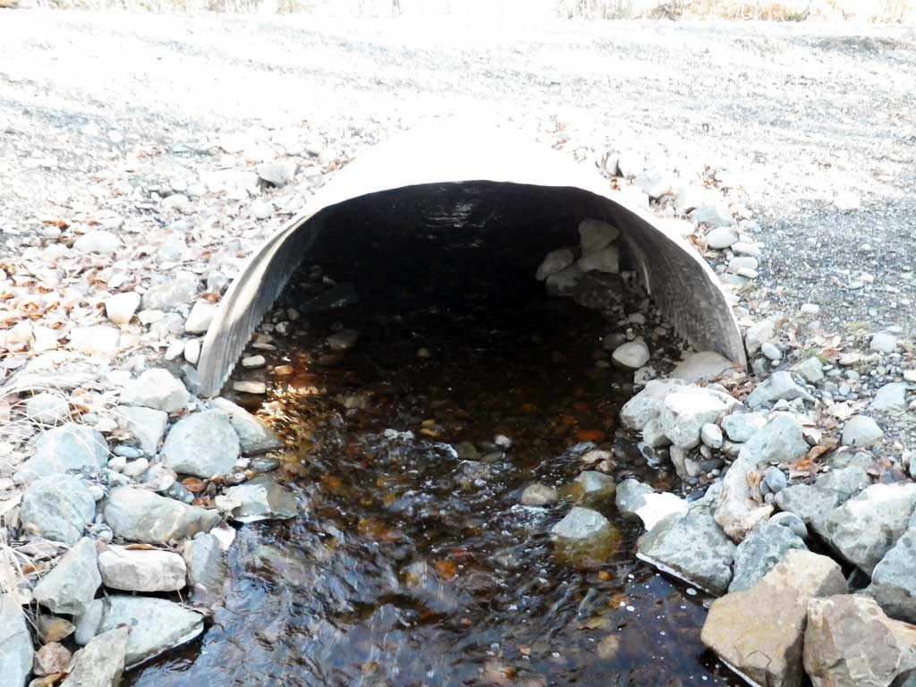
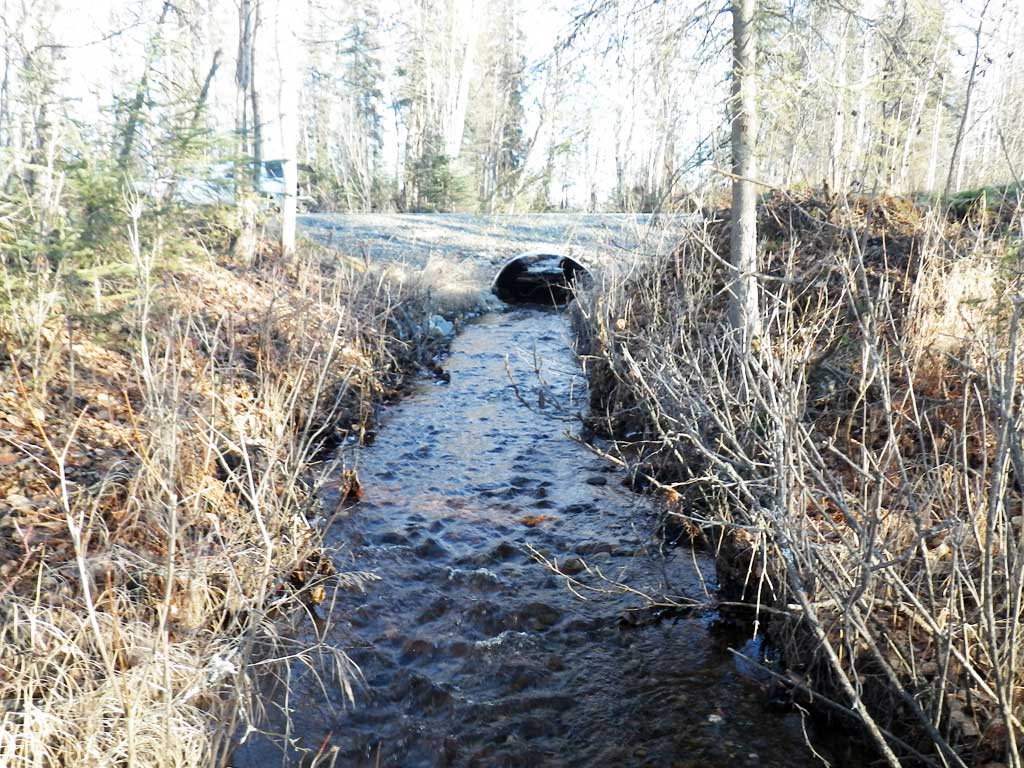
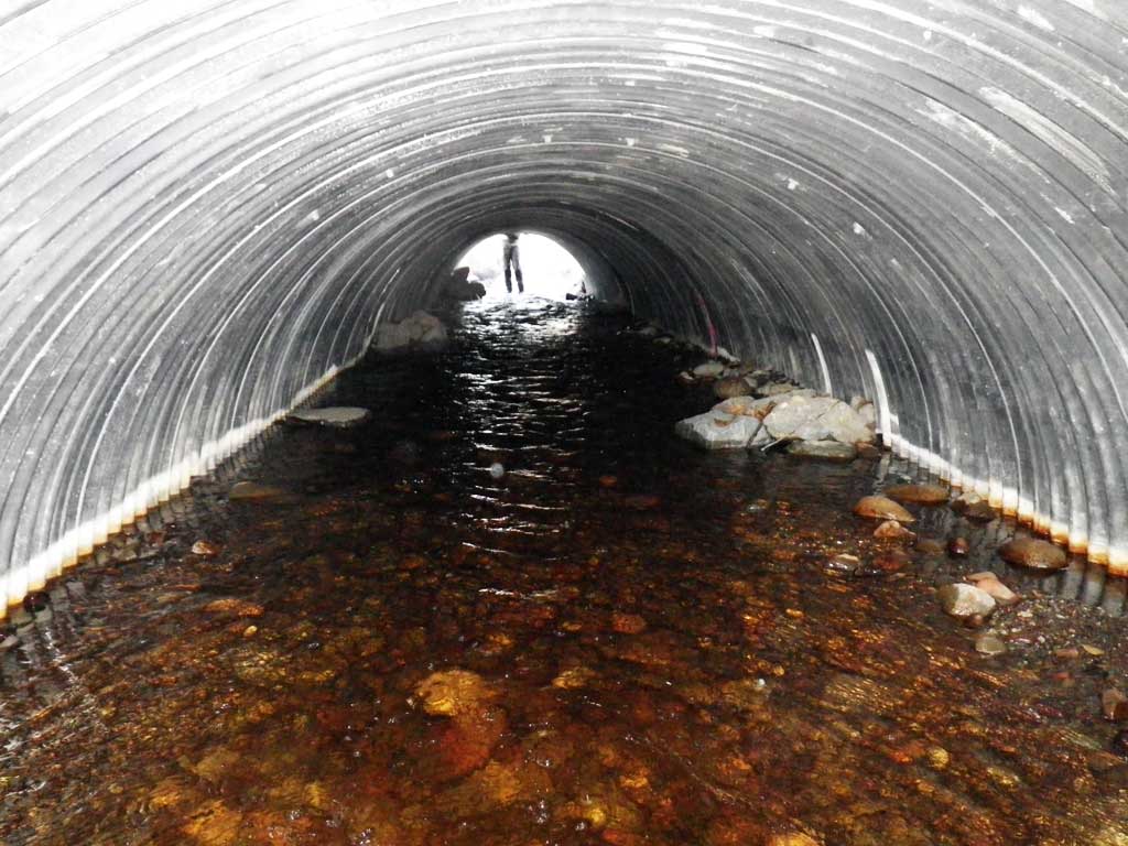
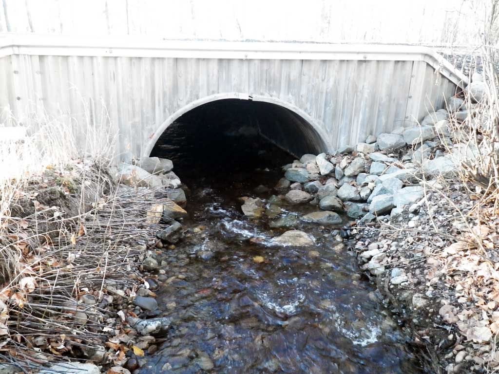
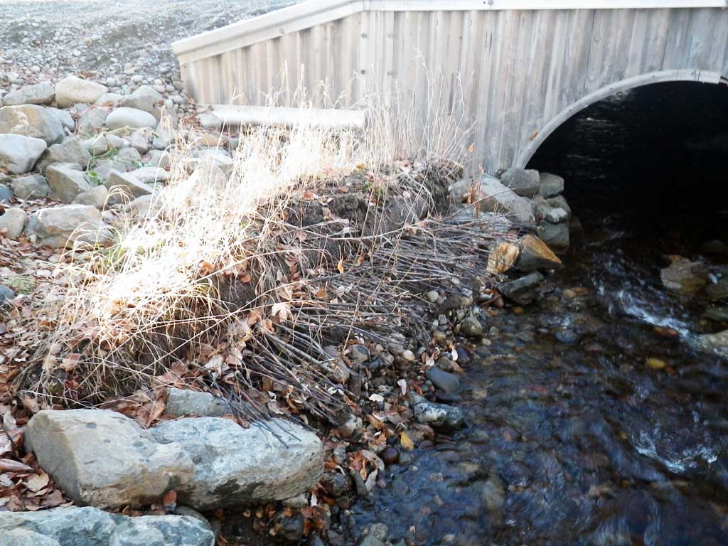
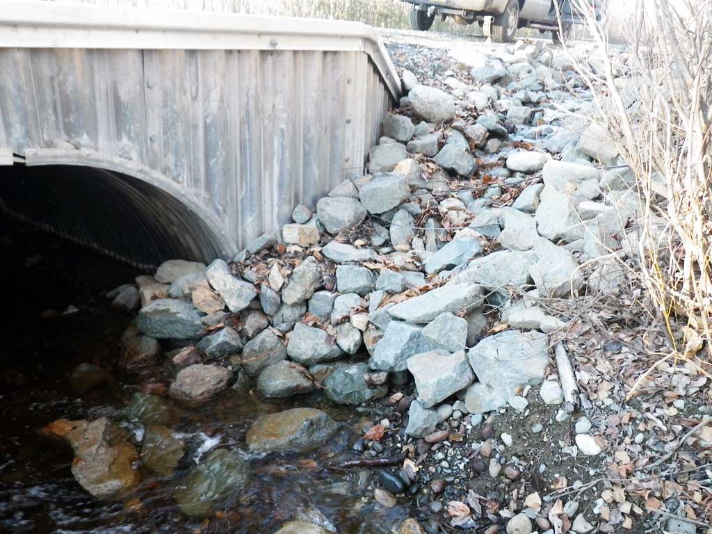
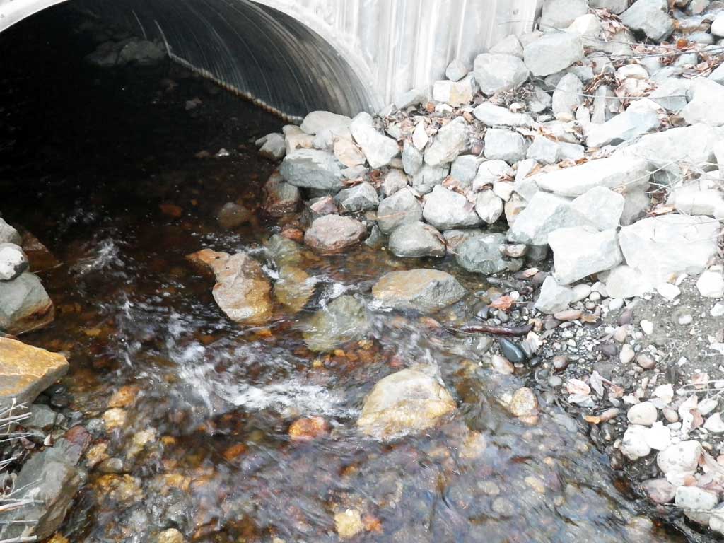
Comments: Replaced in 2014, site resurveyed Oct 21, 2015. Rip rap from ditch falling into inlet. Upstream all wood controlled. Stream gradient taken from replacement survey. Upstream gradient 1.45%, downstream gradient 2.10%. No fish observed during visit.
Culvert Measurements
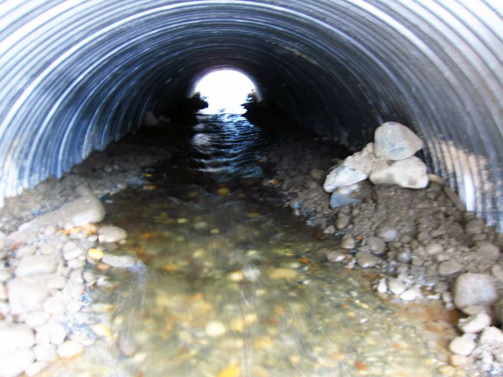
| ID: 1 | Structure Type: Circular pipe (Corrugated aluminum) | Fish Passage Rating: | ||||||||||||||||||||||||||||||||||||||||||
|
|
|
||||||||||||||||||||||||||||||||||||||||||
Culvert Observations:
|
||||||||||||||||||||||||||||||||||||||||||||
Stream Measurements
|
|
| Stream Width Type | Distance From Crossing (ft) |
Stream Width (ft) |
|---|---|---|
| Upstream ordinary high water | 100.0 | 7.60 |
| Upstream ordinary high water | 150.0 | 4.50 |
| Upstream ordinary high water | 200.0 | 5.50 |
Elevations
| Locator ID | Culvert Number |
River Distance (ft)1 |
Distance From Crossing (ft)2 |
Relative Elevation (ft) |
|---|---|---|---|---|
| Road Elev | 100.54 | |||
| Outlet Culvert Top | 0.00 | 96.98 | ||
| Outlet Invert (On substrate) | 0.00 | 93.20 | ||
| D/S Water Surface Elev | 0.00 | 93.51 | ||
| Inlet Culvert Invert (On substrate) | 53.50 | 93.97 | ||
| U/S Water Surface Elev | 53.50 | 94.48 | ||
| Inlet Culvert Top | 53.50 | 98.21 |
Notes:
- River distance is measured continuously throughout the survey reach along the thalweg of the stream.
- Measured from each end of the crossing along the thalweg of the stream.
Fish Sampling Efforts
No fish sampling occurred during this survey.
Fish Observations
No fish observations occurred during this survey.
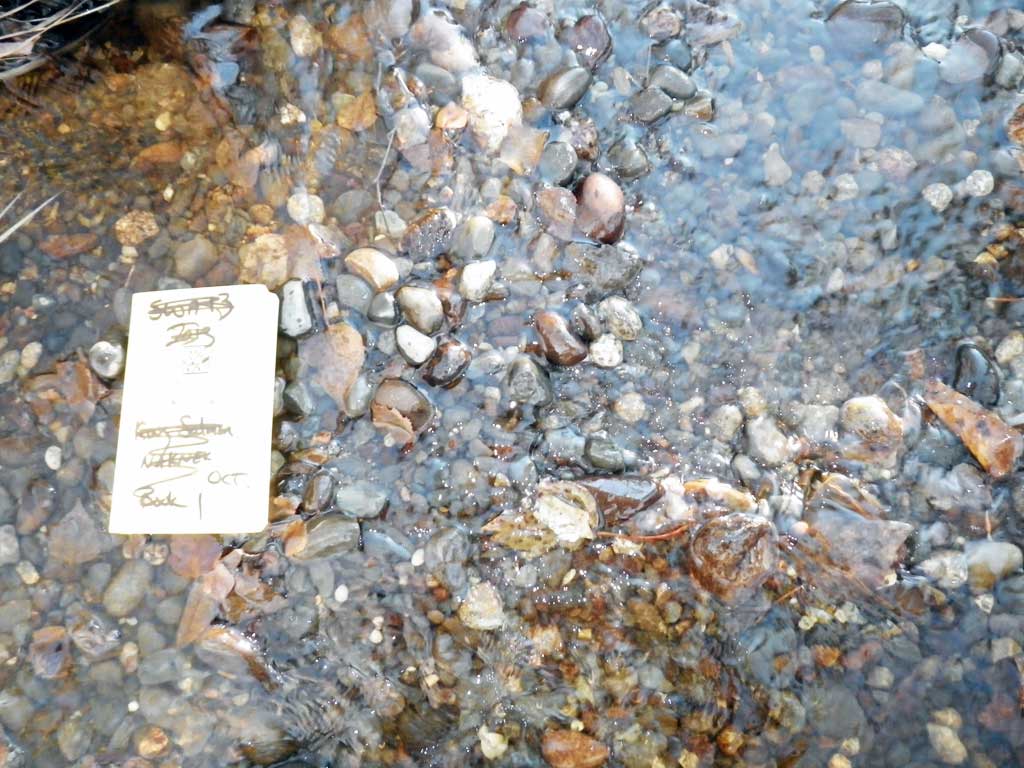
Photos


Questions or comments about this report can be directed to dfg.dsf.webmaster@alaska.gov