Fish Passage Site 20501403
Coordinates (dec. deg.): 62.28347°, -150.42348°
Legal Description: S025N006W05
Region: South Central
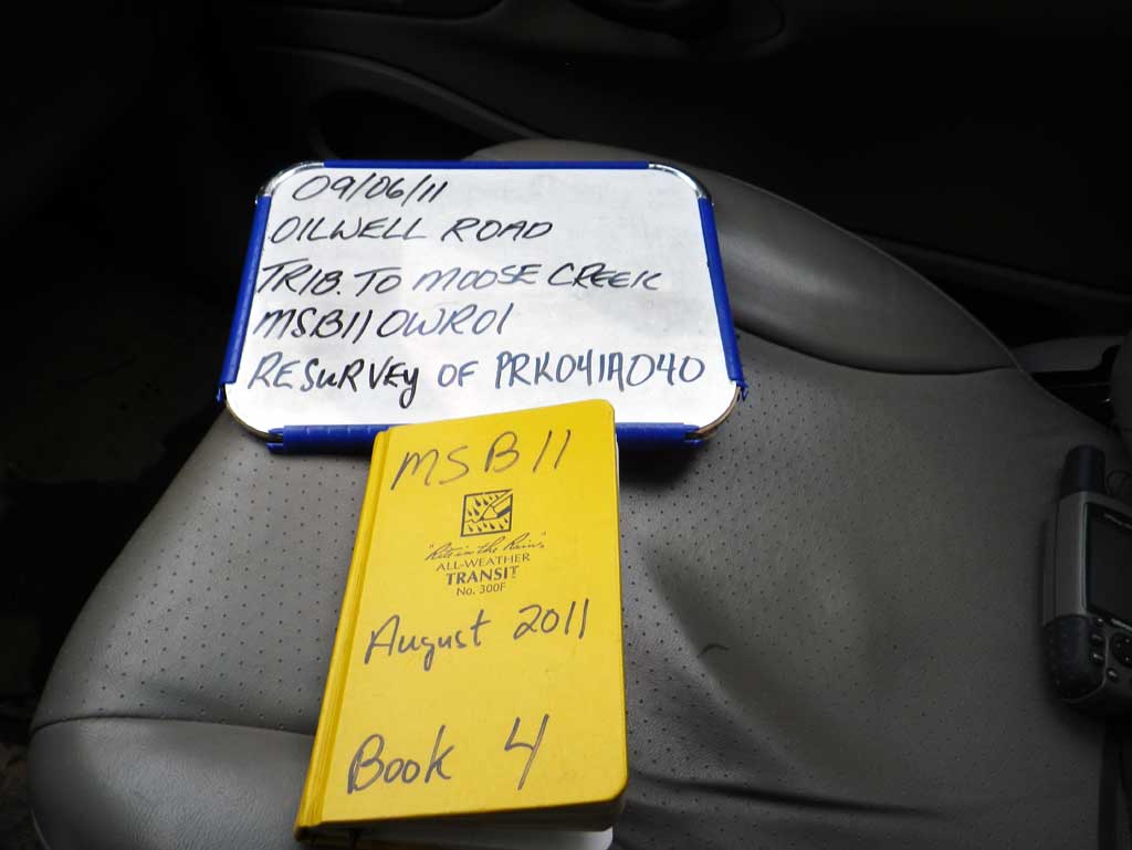
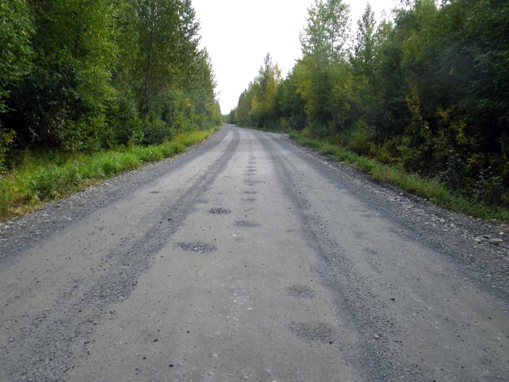
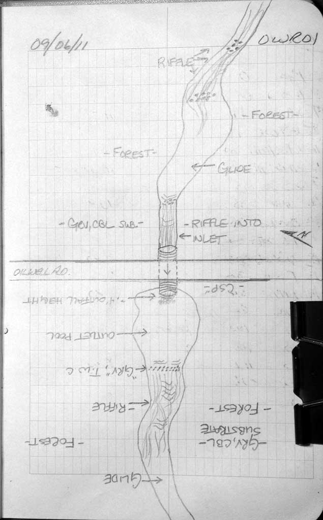
Road Name: Oil Well Road
Datum: NAD83
Quad Name / ITM: Talkeetna B-1
AWC Stream #:
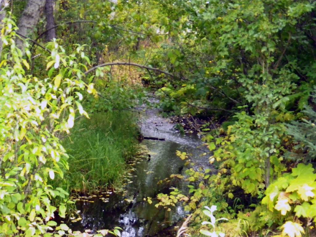
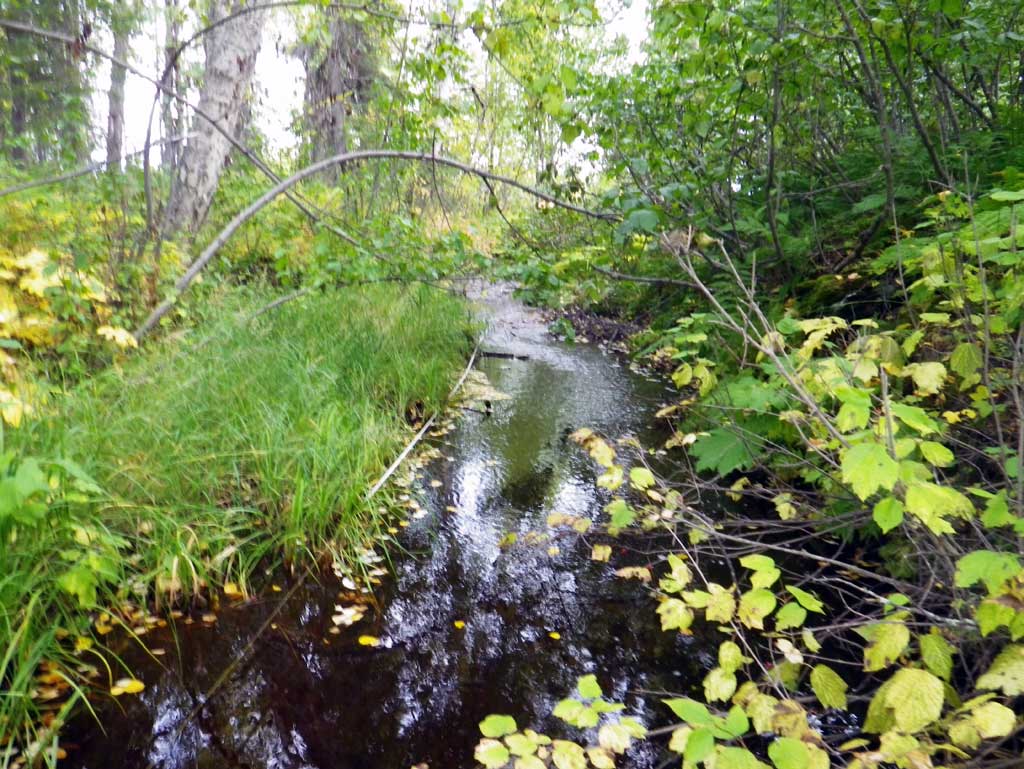
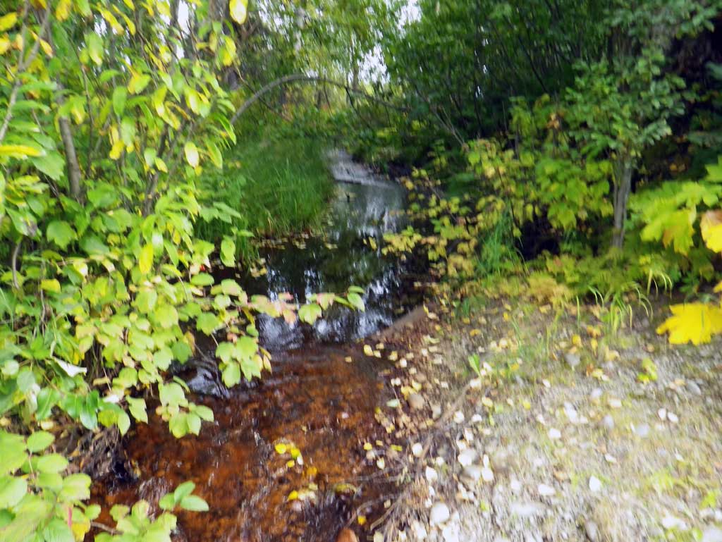
Stream Name: Moose Creek tributary
Elevation:
Site Comments: SUSITNA RIVER WATERSHED
arrow to the right of the survey date below to choose a different report for this site.
Survey MSB11-OWR01
Project Supervisor: Gillian O'Doherty, Alaska Department of Fish and Game
— Anchorage, AK
Observers: Abraham Gioffre, Jim Latham
Overall Fish Passage Rating:
Tidal: No
Backwatered: No
Step Pools: No
Construction Year:
Site Observations:
- Culvert gradient red
- Constriction ratio gray
- Outfall height gray
- Mechanical damage or joints parting
- Woody Debris
- Culvert is too short
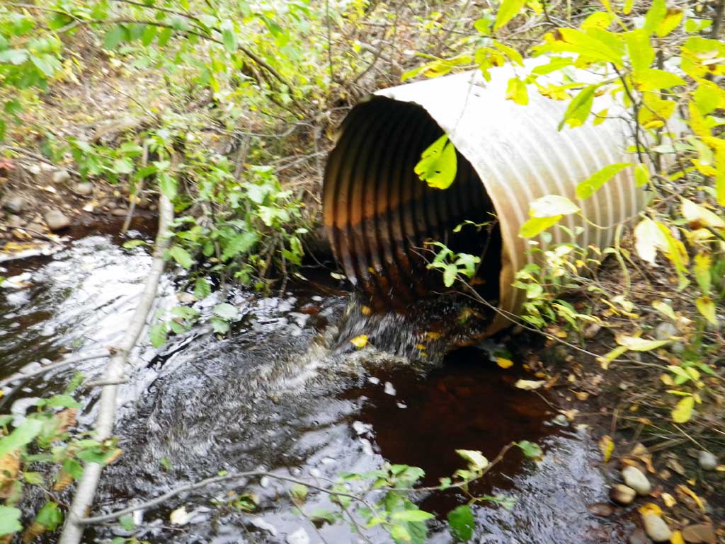
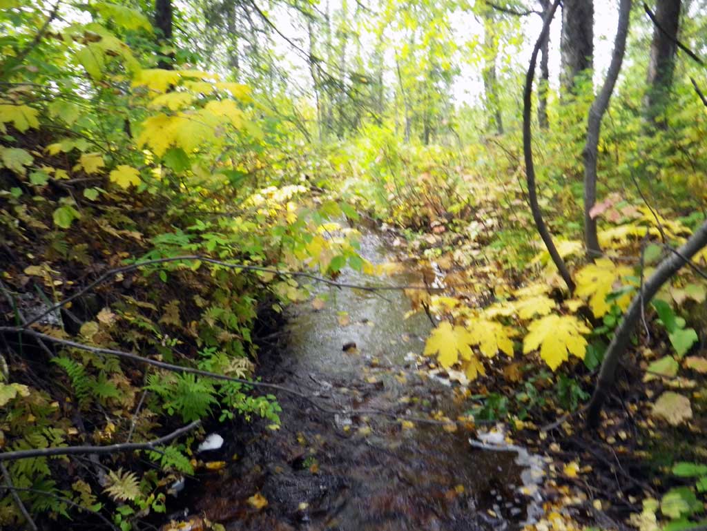
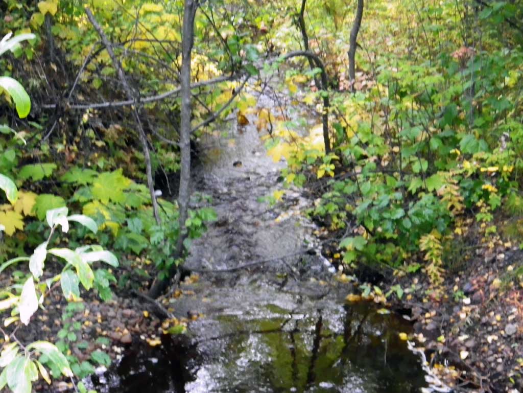
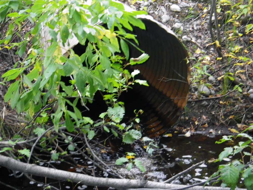
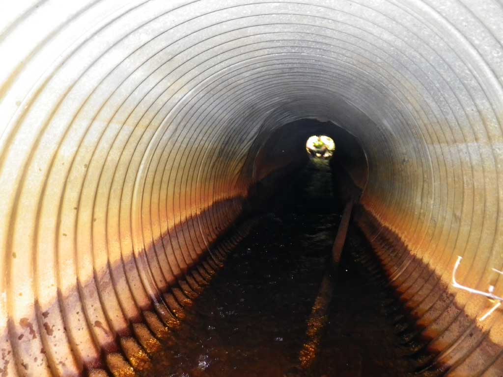
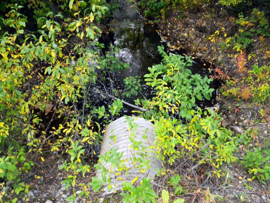
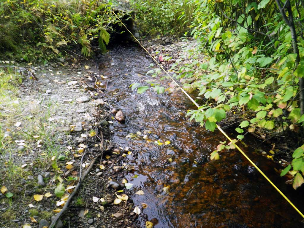
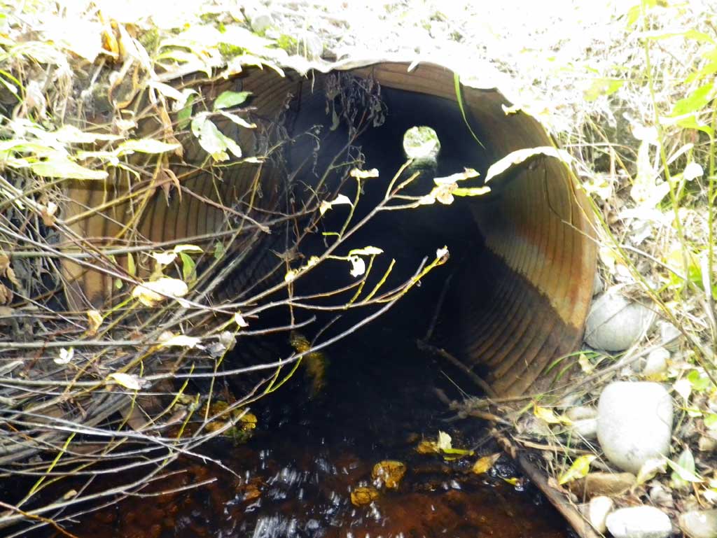
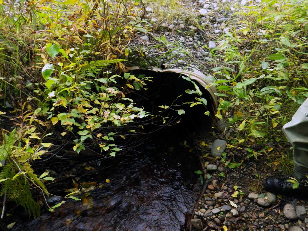
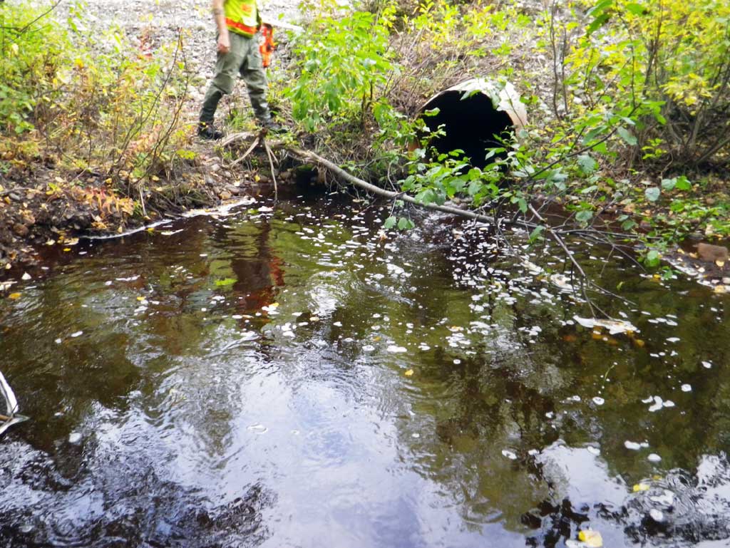
Comments: Upst area about 175' is a forested area which opens up to a meadow. The inlet is partially bent and covered with road fill.
Culvert Measurements
| ID: 1 | Structure Type: Circular pipe (Corrugated steel) | Fish Passage Rating: | |||||||||||||||||||||||||||||||||||||||||
|
|
|
|||||||||||||||||||||||||||||||||||||||||
Culvert Observations:
|
|||||||||||||||||||||||||||||||||||||||||||
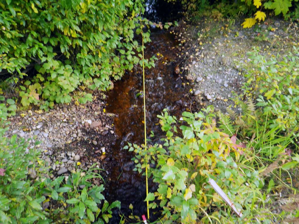
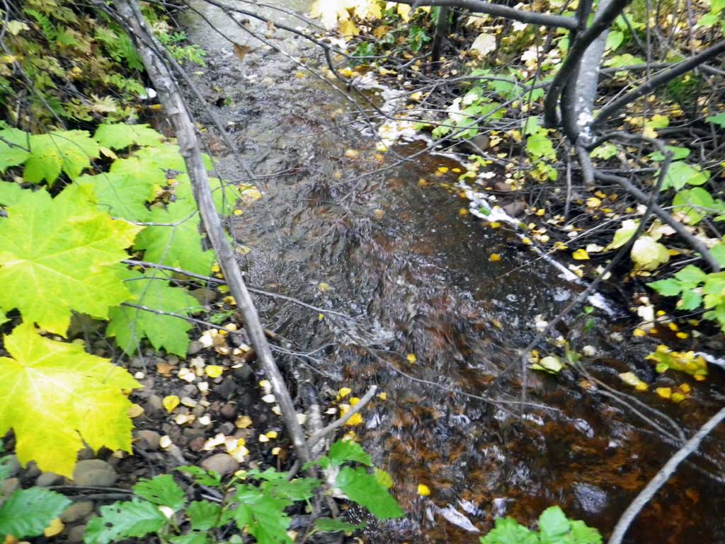
Stream Measurements
|
|
| Stream Width Type | Distance From Crossing (ft) |
Stream Width (ft) |
|---|---|---|
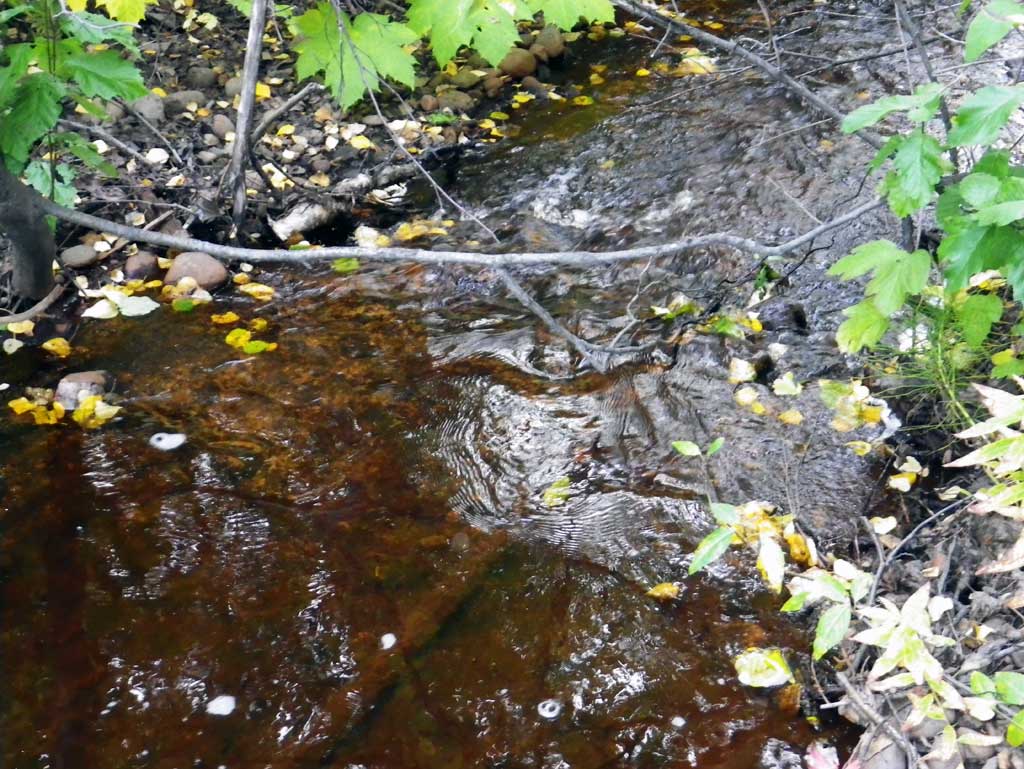
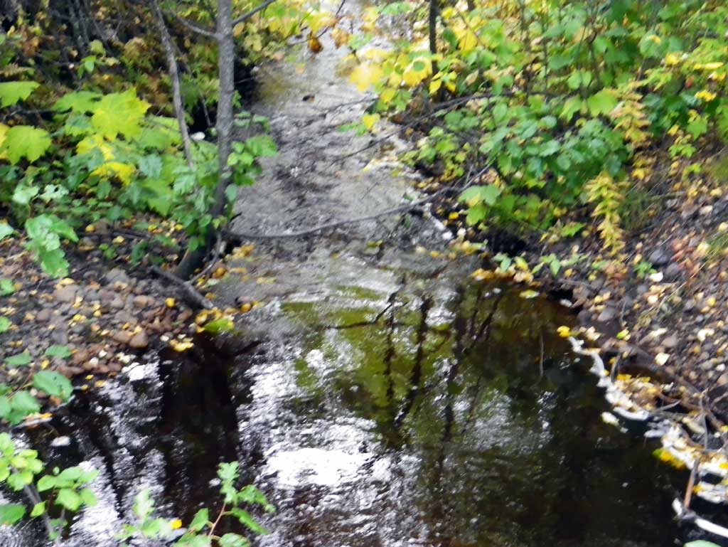
| Upstream ordinary high water | 75.0 | 6.50 |
| Upstream ordinary high water | 116.0 | 4.80 |
| Upstream ordinary high water | 175.0 | 4.20 |
Elevations
| Locator ID | Culvert Number |
River Distance (ft)1 |
Distance From Crossing (ft)2 |
Relative Elevation (ft) |
|---|---|---|---|---|
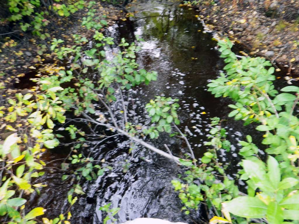
| D/S Grade Ctrl (Thalweg) (grade pt at bottom of riffle) | 0.00 | 93.51 | ||
| D/S Water Surface Elev | 0.00 | 93.94 | ||
| D/S Tailcrest or 1st Thalweg (tailwater control) | 14.00 | 94.18 | ||
| D/S Water Surface Elev | 14.00 | 94.55 | ||
| Outlet Pool Water Elev | 28.00 | 94.55 | ||
| Max Pool Depth (max outlet pool depth) | 28.00 | 92.67 | ||
| Outlet Culvert Top | 35.00 | 97.42 | ||
| Outlet Invert (invert on pipe) | 35.00 | 94.45 | ||
| D/S Water Surface Elev (outlet water surface) | 35.00 | 94.69 | ||
| Road Elev | 58.00 | 100.84 | ||
| Inlet Culvert Invert (invert on pipe) | 82.00 | 96.14 | ||
| U/S Water Surface Elev (inlet water surface) | 82.00 | 96.53 | ||
| Inlet Culvert Top | 82.00 | 98.86 | ||
| U/S Grade Ctrl (Thalweg) (grade pt at top of riffle) | 100.00 | 96.77 | ||
| U/S Water Surface Elev | 100.00 | 97.18 | ||
| U/S Water Surface Elev (water surface for stream grad) | 112.00 | 97.19 | ||
| U/S Water Surface Elev (water surface fro stream grad) | 207.00 | 98.55 |
Notes:
- River distance is measured continuously throughout the survey reach along the thalweg of the stream.
- Measured from each end of the crossing along the thalweg of the stream.
Fish Sampling Efforts
No fish sampling occurred during this survey.
Fish Observations
No fish observations occurred during this survey.
Photos
Questions or comments about this report can be directed to dfg.dsf.webmaster@alaska.gov