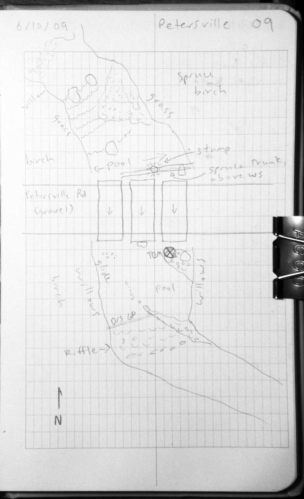
Fish Passage Site 20501397
Coordinates (dec. deg.): 62.32401°, -150.51883°
Legal Description: S026N007W23
Region: South Central
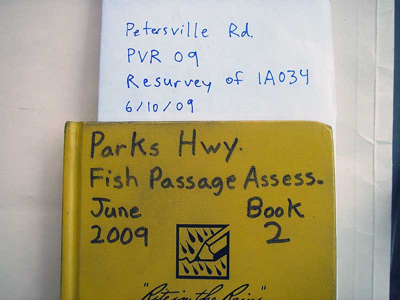
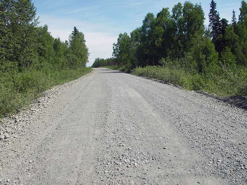
Road Name: Petersville Road
Datum: NAD83
Quad Name / ITM: Talkeetna B-2
AWC Stream #: 247-41-10200-2081-3100-4167-5045
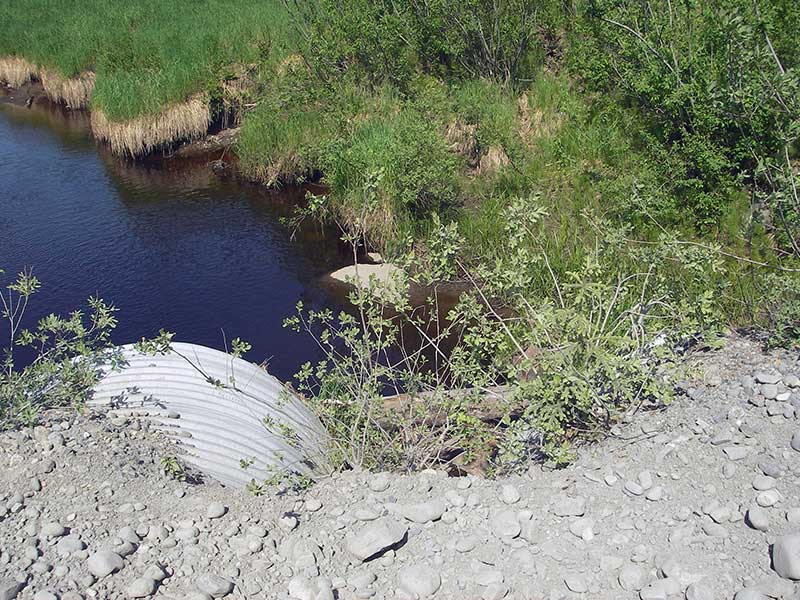
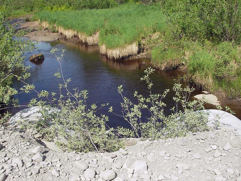
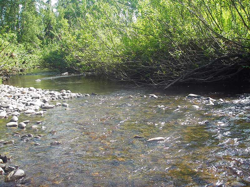
Stream Name: Gate Creek
Elevation:
Site Comments: SUSITNA RIVER WATERSHED
arrow to the right of the survey date below to choose a different report for this site.
Survey PRK09-PVR09
Project Supervisor: Gillian O'Doherty, ADFG
Observers: Ben Histand, Heidi Zimmer
Overall Fish Passage Rating:
Tidal: No
Backwatered: Yes
Step Pools:
Construction Year:
Site Observations:
- Constriction ratio gray
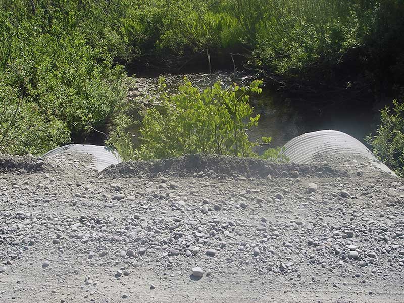
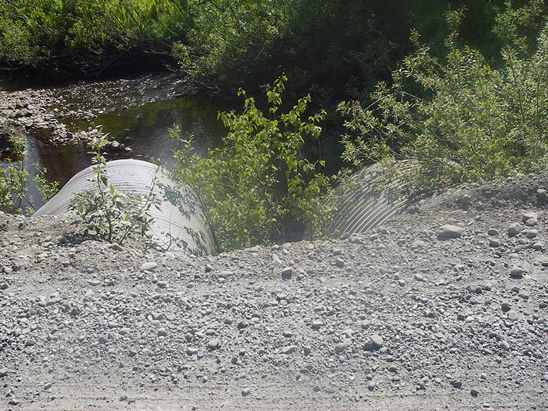
- Shallow fill; inadequate roadfill volume above culvert
- Mechanical damage or joints parting
Comments: Resurvey of PRK041A034.
Culvert Measurements
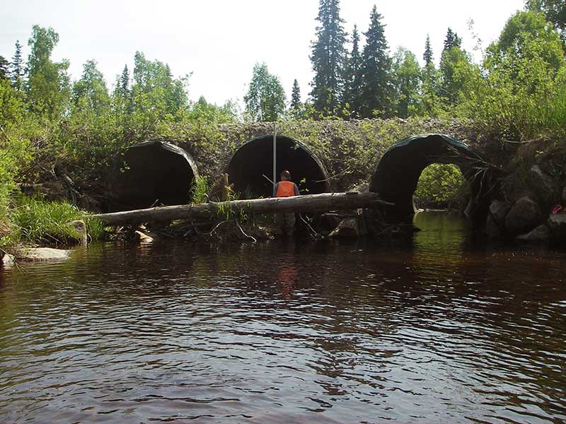
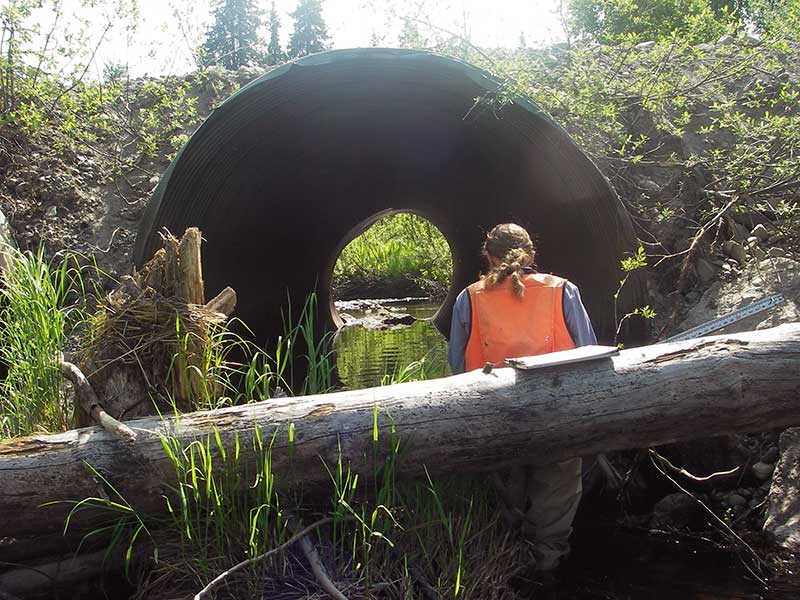
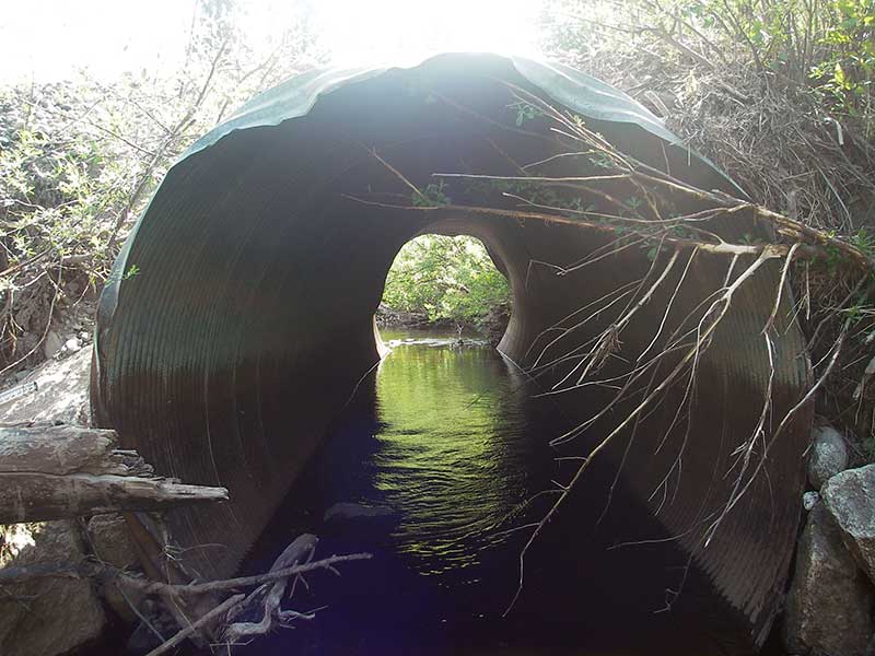
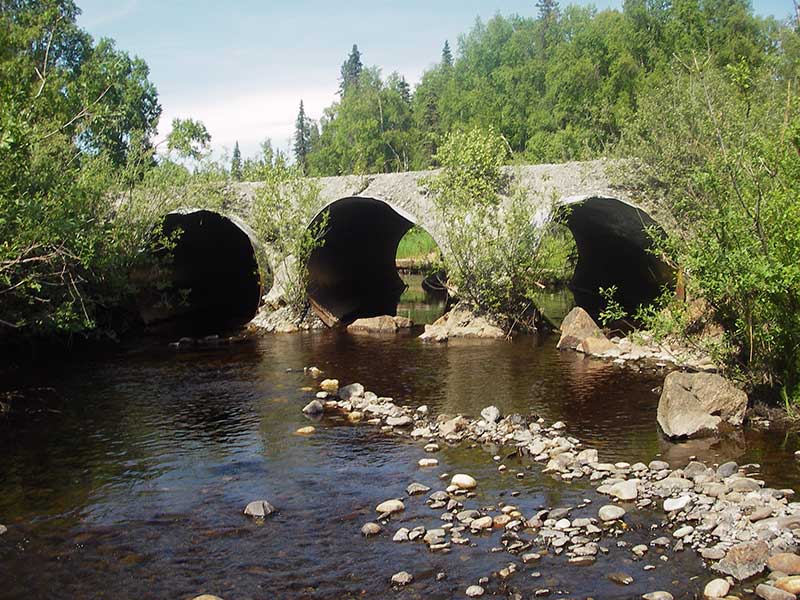
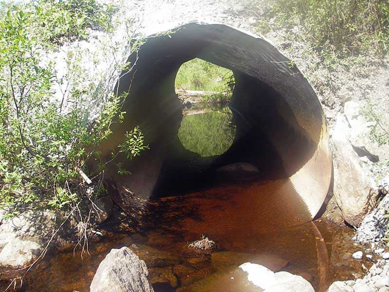
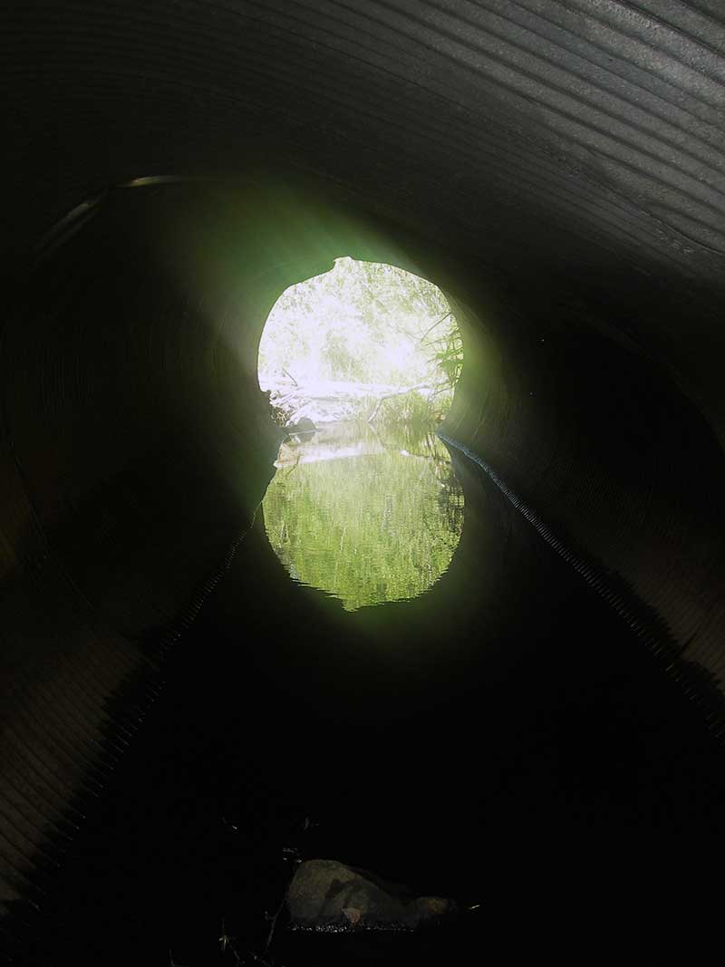
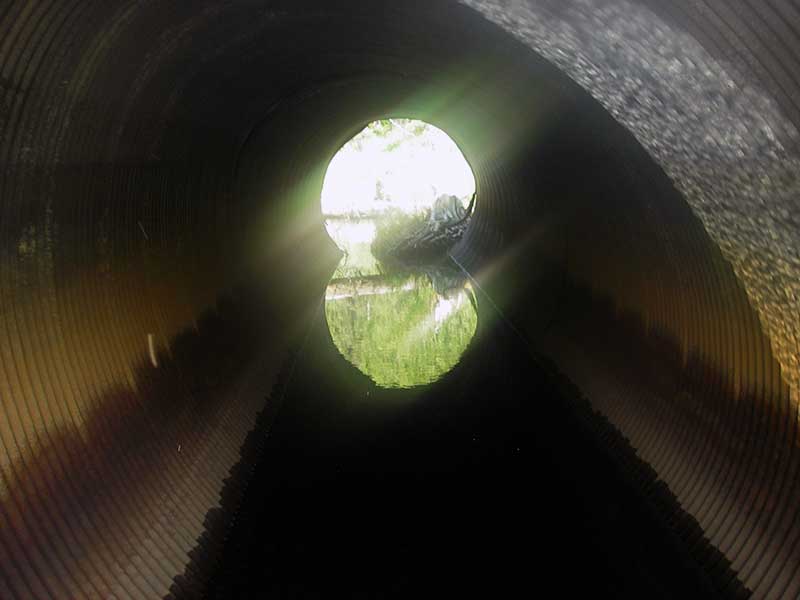
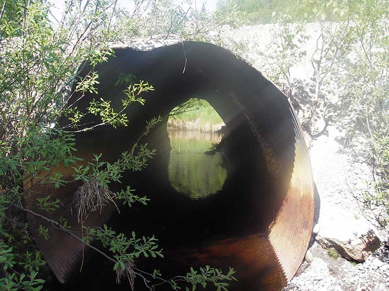
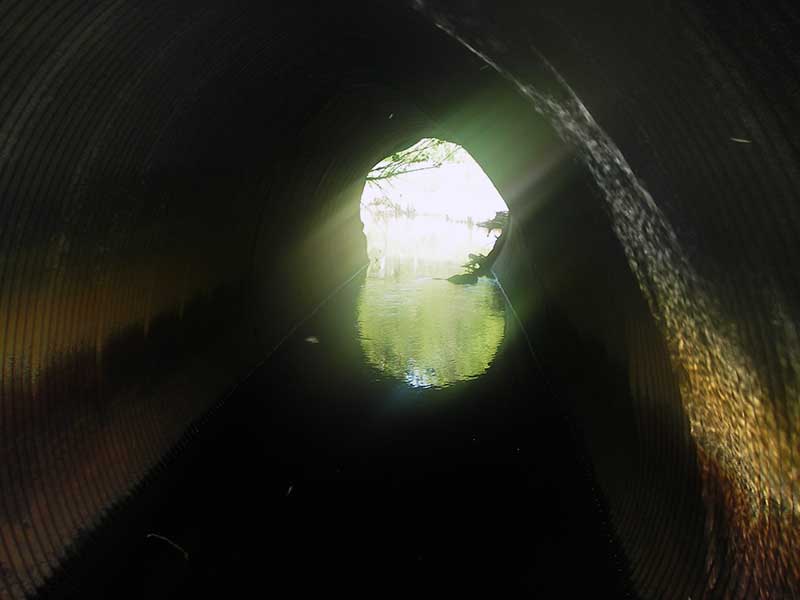
| ID: 1 | Structure Type: Circular pipe (Corrugated steel) | Fish Passage Rating: | |||||||||||||||||||||||||||||||||||||||||
|
|
|
|||||||||||||||||||||||||||||||||||||||||
Culvert Observations:
|
|||||||||||||||||||||||||||||||||||||||||||
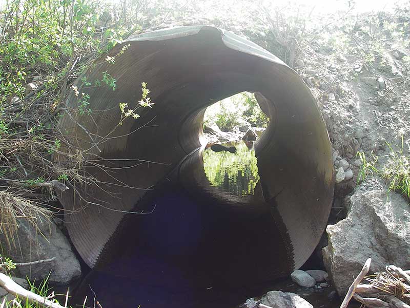
| ID: 2 | Structure Type: Circular pipe (Corrugated steel) | Fish Passage Rating: | |||||||||||||||||||||||||||||||||||||||||
|
|
|
|||||||||||||||||||||||||||||||||||||||||
Comments: Resurvey of 1A034. Two large boulders at outlet invert partially back up water in pipe. |
|||||||||||||||||||||||||||||||||||||||||||
Culvert Observations:
|
|||||||||||||||||||||||||||||||||||||||||||
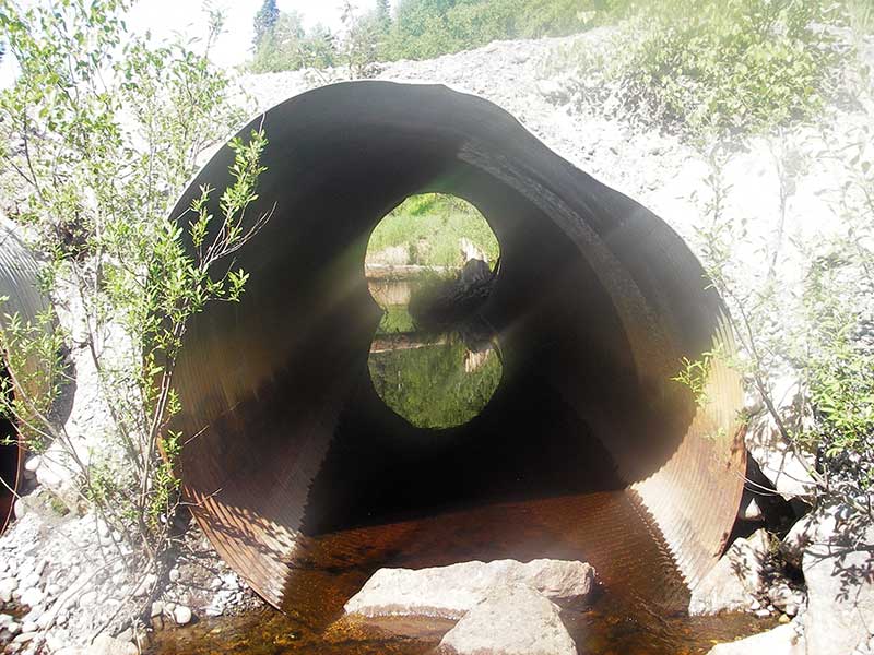
| ID: 3 | Structure Type: Circular pipe (Corrugated steel) | Fish Passage Rating: | |||||||||||||||||||||||||||||||||||||||||
|
|
|
|||||||||||||||||||||||||||||||||||||||||
Comments: Resurvey of 1A034 |
|||||||||||||||||||||||||||||||||||||||||||
Culvert Observations:
|
|||||||||||||||||||||||||||||||||||||||||||
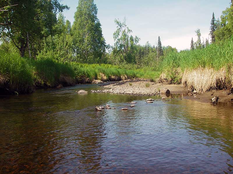
Stream Measurements
|
|
| Stream Width Type | Distance From Crossing (ft) |
Stream Width (ft) |
|---|---|---|
| Upstream ordinary high water | 50.0 | 21.00 |
| Upstream ordinary high water | 95.0 | 25.00 |
| Upstream ordinary high water | 140.0 | 23.00 |
| Upstream ordinary high water | 200.0 | 16.50 |
Elevations
| Locator ID | Culvert Number |
River Distance (ft)1 |
Distance From Crossing (ft)2 |
Relative Elevation (ft) |
|---|---|---|---|---|
| Outlet Pool Water Elev | 2 | 98.57 | ||
| U/S Headwater | 1 | 98.60 | ||
| Outlet Pool Water Elev | 1 | 98.61 | ||
| Outlet Pool Water Elev | 3 | 98.62 | ||
| U/S Headwater | 2 | 98.63 | ||
| U/S Headwater | 3 | 98.63 | ||
| D/S Water Surface Elev (WS at GP) | 0.00 | 36.0 | 98.53 | |
| D/S Grade Ctrl (Thalweg) | 0.00 | 36.0 | 97.90 | |
| D/S Tailcrest or 1st Thalweg | 2 | 23.50 | 12.5 | 98.06 |
| D/S Water Surface Elev (WS at TWC) | 2 | 23.50 | 12.5 | 98.56 |
| D/S Water Surface Elev | 1 | 28.20 | 7.8 | 98.58 |
| D/S Tailcrest or 1st Thalweg | 1 | 28.20 | 7.8 | 98.17 |
| D/S Water Surface Elev (WS at GP) | 1 | 29.60 | 6.4 | 98.62 |
| D/S Water Surface Elev (WS at TWC) | 3 | 30.00 | 6.0 | 98.57 |
| D/S Tailcrest or 1st Thalweg | 3 | 30.00 | 6.0 | 98.19 |
| D/S Thalweg (bottom of outlet pool) | 2 | 30.00 | 6.0 | 97.62 |
| D/S Water Surface Elev (WS at GP) | 2 | 31.20 | 4.8 | 98.62 |
| Outlet Invert | 2 | 36.00 | 0.0 | 97.97 |
| Outlet Invert | 3 | 36.00 | 0.0 | 97.52 |
| Outlet Invert | 1 | 36.00 | 0.0 | 97.56 |
| Road Elev | 58.50 | 107.62 | ||
| Inlet Culvert Invert | 1 | 81.00 | 0.0 | 97.48 |
| Inlet Culvert Invert | 3 | 81.00 | 0.0 | 97.13 |
| Inlet Culvert Invert | 2 | 81.00 | 0.0 | 97.67 |
| U/S Thalweg (bottom of pool at inlet) | 2 | 82.80 | 1.8 | 97.13 |
| U/S Thalweg (bottom of pool at inlet) | 1 | 84.00 | 3.0 | 97.10 |
| U/S Grade Ctrl (Thalweg) | 2 | 85.80 | 4.8 | 97.22 |
| U/S Thalweg (bottom of pool at inlet; no TC u/s) | 3 | 86.00 | 5.0 | 96.64 |
| U/S Grade Ctrl (Thalweg) | 1 | 87.40 | 6.4 | 98.13 |
Notes:
- River distance is measured continuously throughout the survey reach along the thalweg of the stream.
- Measured from each end of the crossing along the thalweg of the stream.
Fish Sampling Efforts
No fish sampling occurred during this survey.
Fish Observations
No fish observations occurred during this survey.
Photos

Questions or comments about this report can be directed to dfg.dsf.webmaster@alaska.gov