Fish Passage Site 20501396
Coordinates (dec. deg.): 62.31191°, -150.39220°
Legal Description: S026N006W28
Region: South Central
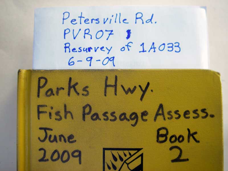
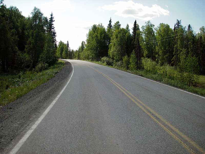
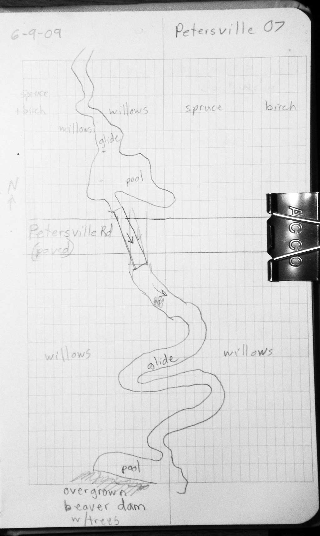
Road Name: Petersville Road
Datum: NAD83
Quad Name / ITM: Talkeetna B-1
AWC Stream #: 247-41-10200-2081-3100-4136-5013
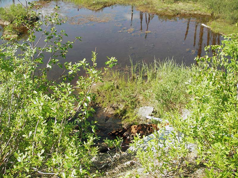
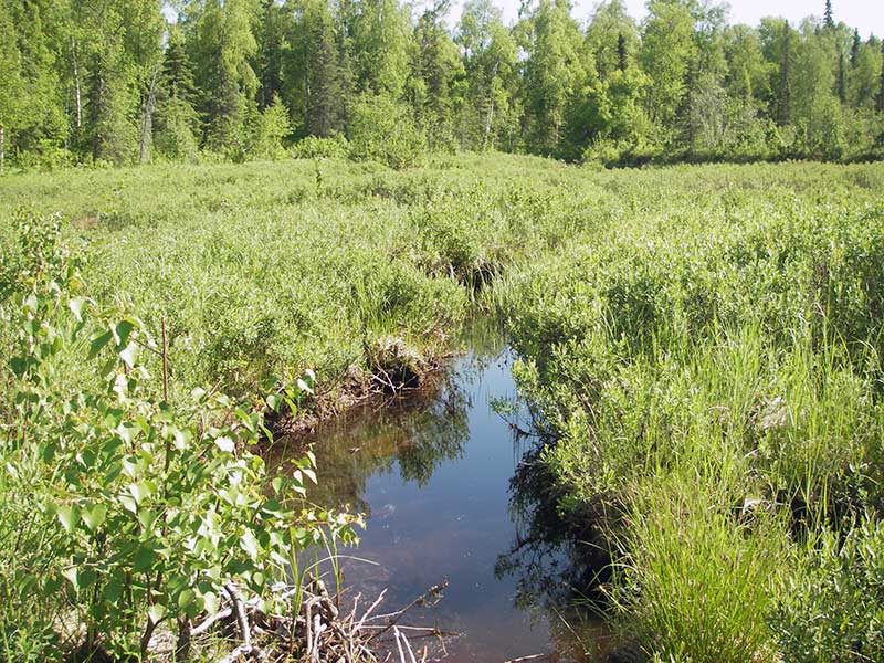
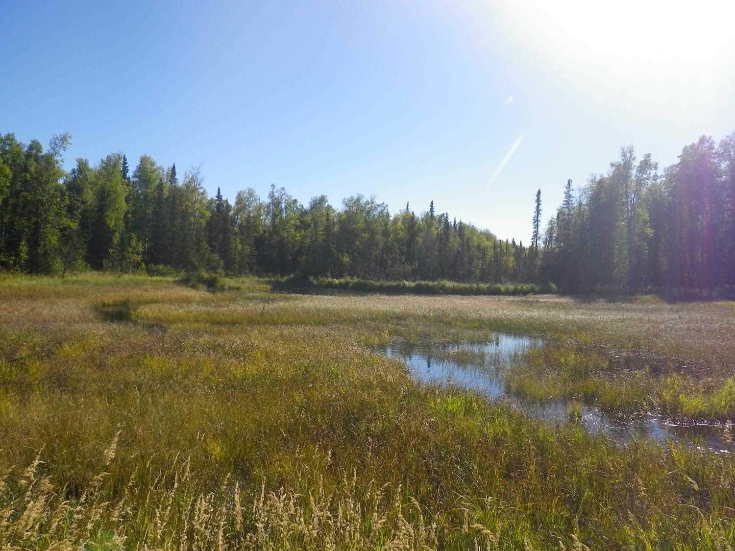
Stream Name: Ninemile Creek tributary
Elevation:
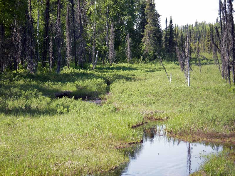
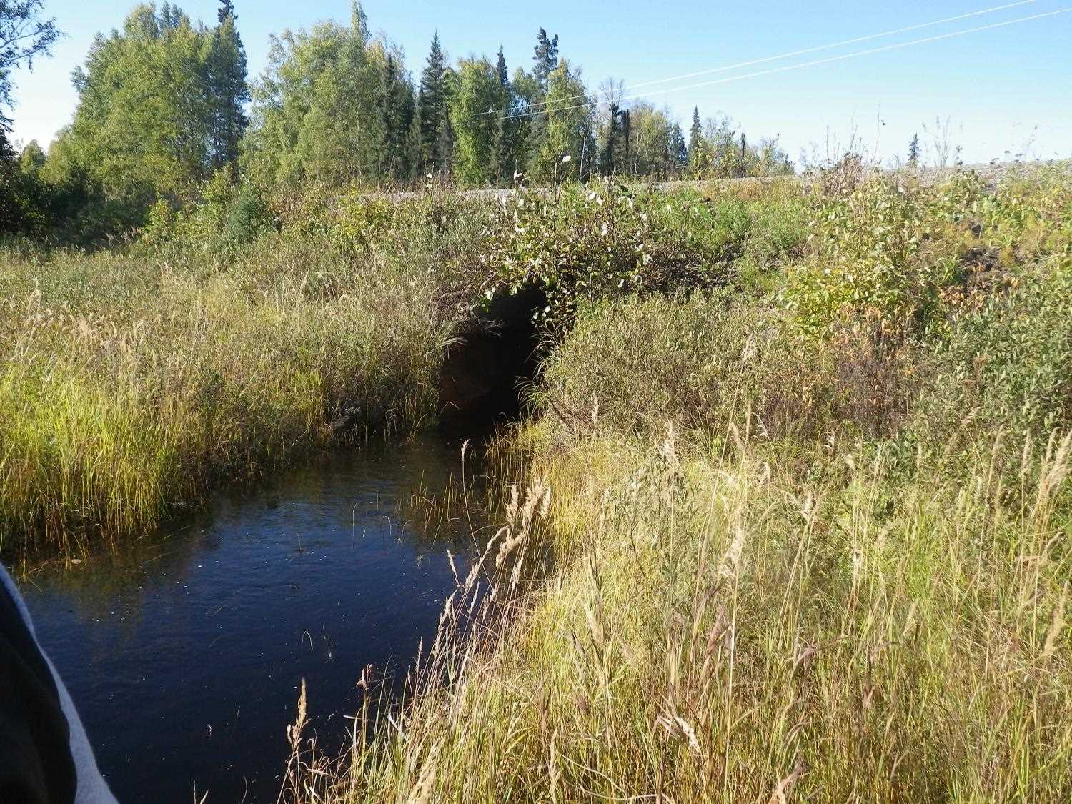
Site Comments: SUSITNA RIVER WATERSHED
arrow to the right of the survey date below to choose a different report for this site.
Survey PRK09-PVR07
Project Supervisor: Gillian O'Doherty, ADFG
Observers: Heidi Zimmer, Ben Histand
Overall Fish Passage Rating:
Tidal: No
Backwatered: No
Step Pools: No
Construction Year:
Site Observations:
- Outfall height red
- Culvert gradient gray
- Compound gradient in pipe
- Mechanical damage or joints parting
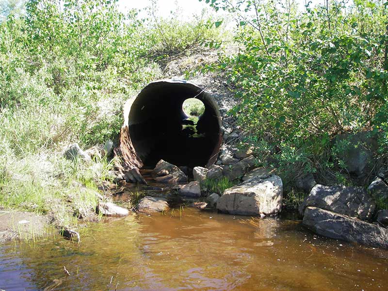
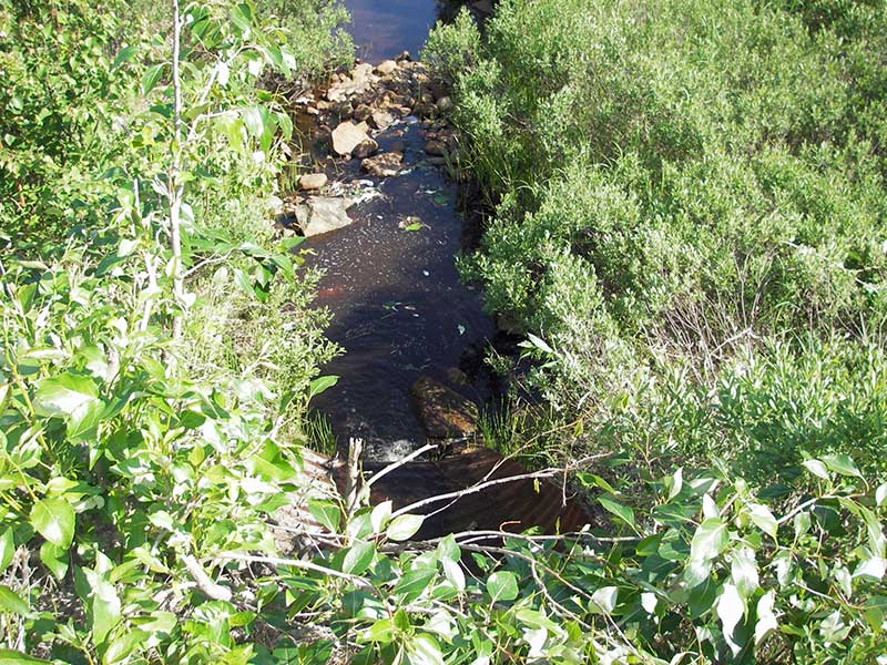
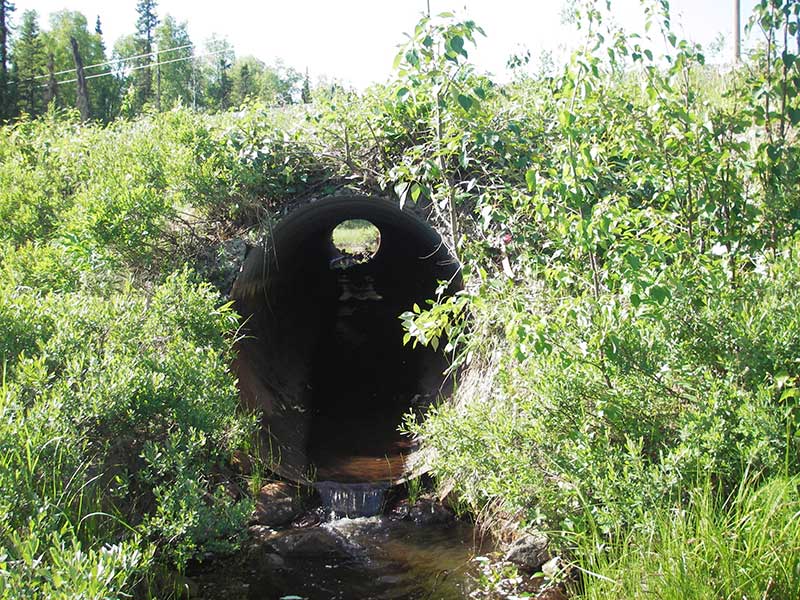
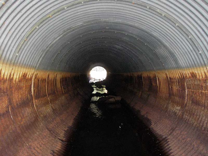
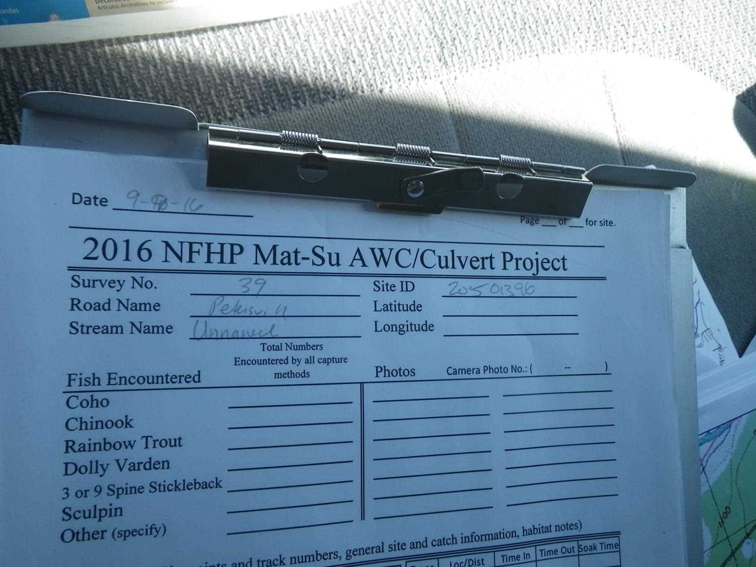
Comments: Resurvey of PRK04IA033; compound grade from large cobble 1/3 of way from inlet; max grade is inlet miter. Evidence of old beaver activity downstream. **Updated site photos added from 9/9/16 site visit from Sampling Unmapped Streams in the MSB project. Fish sampling information entered into AFFI.
Culvert Measurements
| ID: 1 | Structure Type: Circular pipe (Structural steel plate) | Fish Passage Rating: | |||||||||||||||||||||||||||||||||||||||||
|
|
|
|||||||||||||||||||||||||||||||||||||||||
Culvert Observations:
|
|||||||||||||||||||||||||||||||||||||||||||
Stream Measurements
|
|
| Stream Width Type | Distance From Crossing (ft) |
Stream Width (ft) |
|---|---|---|
| Upstream ordinary high water | 112.0 | 6.00 |
| Upstream ordinary high water | 150.0 | 7.00 |
| Upstream ordinary high water | 200.0 | 4.00 |
Elevations
| Locator ID | Culvert Number |
River Distance (ft)1 |
Distance From Crossing (ft)2 |
Relative Elevation (ft) |
|---|---|---|---|---|
| Outlet Pool Water Elev | 1 | 90.27 | ||
| U/S Headwater | 1 | 91.53 | ||
| D/S Grade Ctrl (Thalweg) | 1 | 0.00 | 48.0 | 89.34 |
| D/S Water Surface Elev (ws at gp) | 1 | 0.00 | 48.0 | 89.62 |
| D/S Tailcrest or 1st Thalweg | 1 | 38.00 | 10.0 | 90.06 |
| D/S Water Surface Elev (ws at twc) | 1 | 38.00 | 10.0 | 90.28 |
| D/S Thalweg (bottom of pool) | 1 | 44.50 | 3.5 | 89.27 |
| D/S Water Surface Elev (ws at gp) | 1 | 45.00 | 3.0 | 91.55 |
| D/S Thalweg (stream bed at end of pipe) | 1 | 48.00 | 0.0 | 90.05 |
| Outlet Invert (end of pipe) | 1 | 48.00 | 0.0 | 90.61 |
| D/S Thalweg (invert at top of miter at outlet) | 1 | 54.00 | -6.0 | 90.50 |
| Road Elev | 1 | 90.00 | 100.69 | |
| U/S Thalweg (invert at top of miter at inlet) | 1 | 127.00 | -5.0 | 90.92 |
| Inlet Culvert Invert (end of pipe) | 1 | 132.00 | 0.0 | 91.09 |
| U/S Grade Ctrl (Thalweg) | 1 | 135.00 | 3.0 | 91.31 |
Notes:
- River distance is measured continuously throughout the survey reach along the thalweg of the stream.
- Measured from each end of the crossing along the thalweg of the stream.
Fish Sampling Efforts
No fish sampling occurred during this survey.
Fish Observations
No fish observations occurred during this survey.
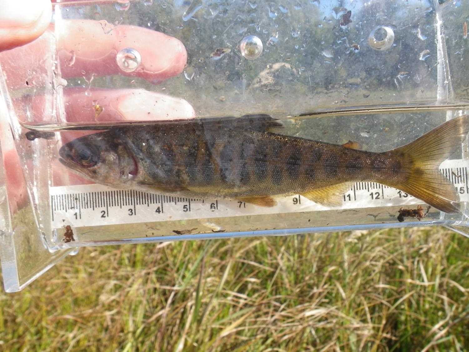
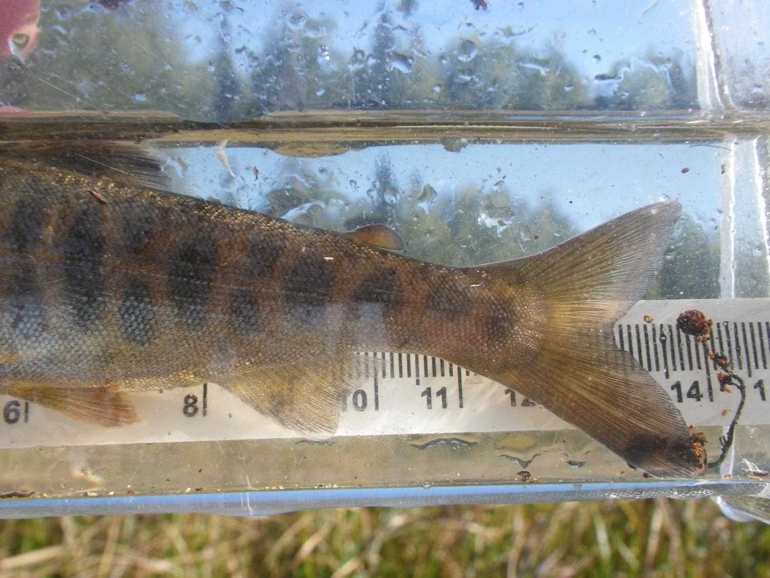
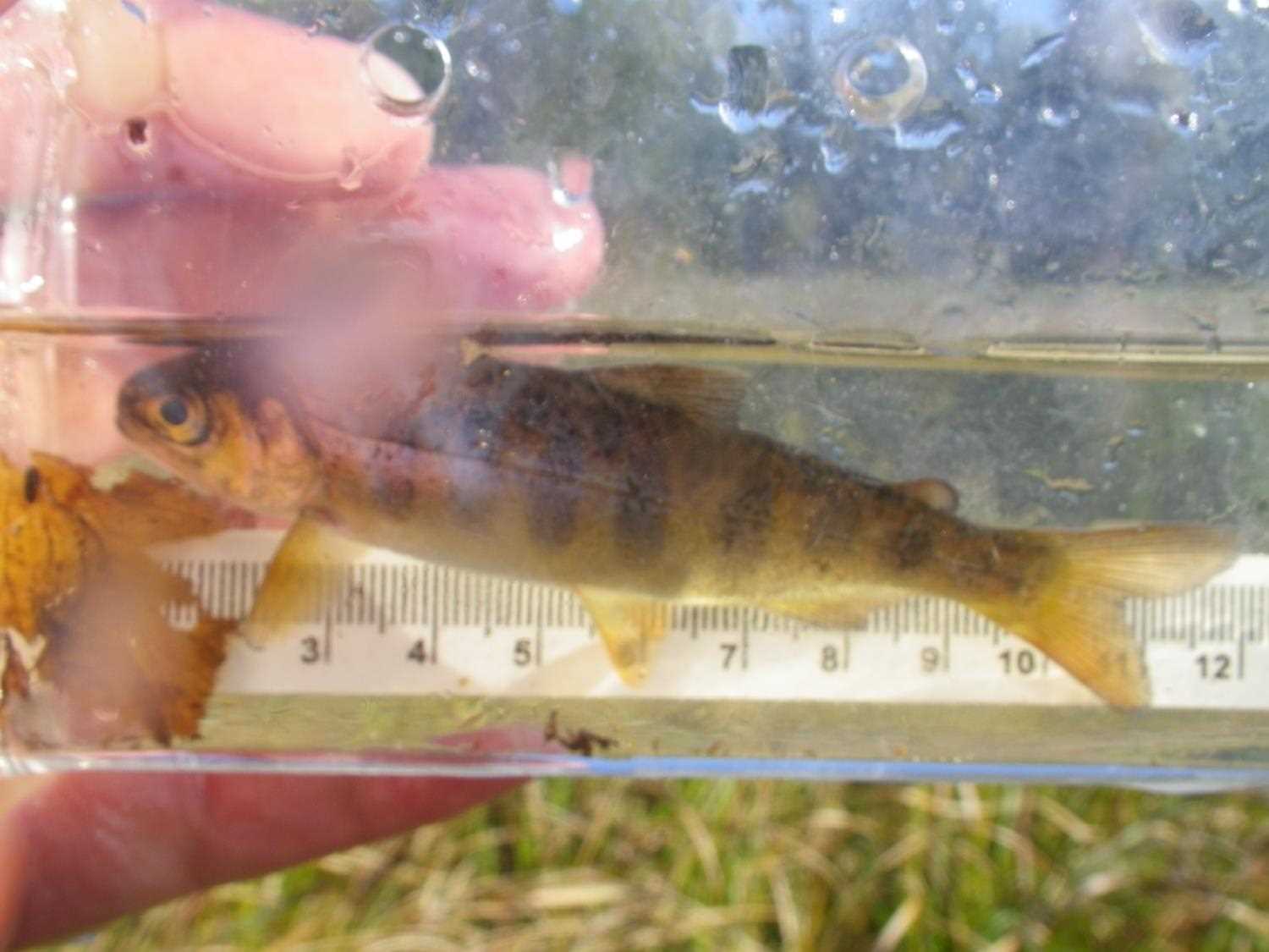
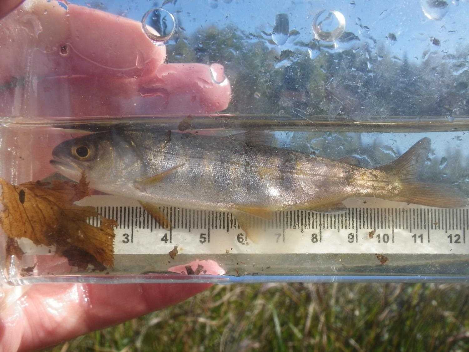
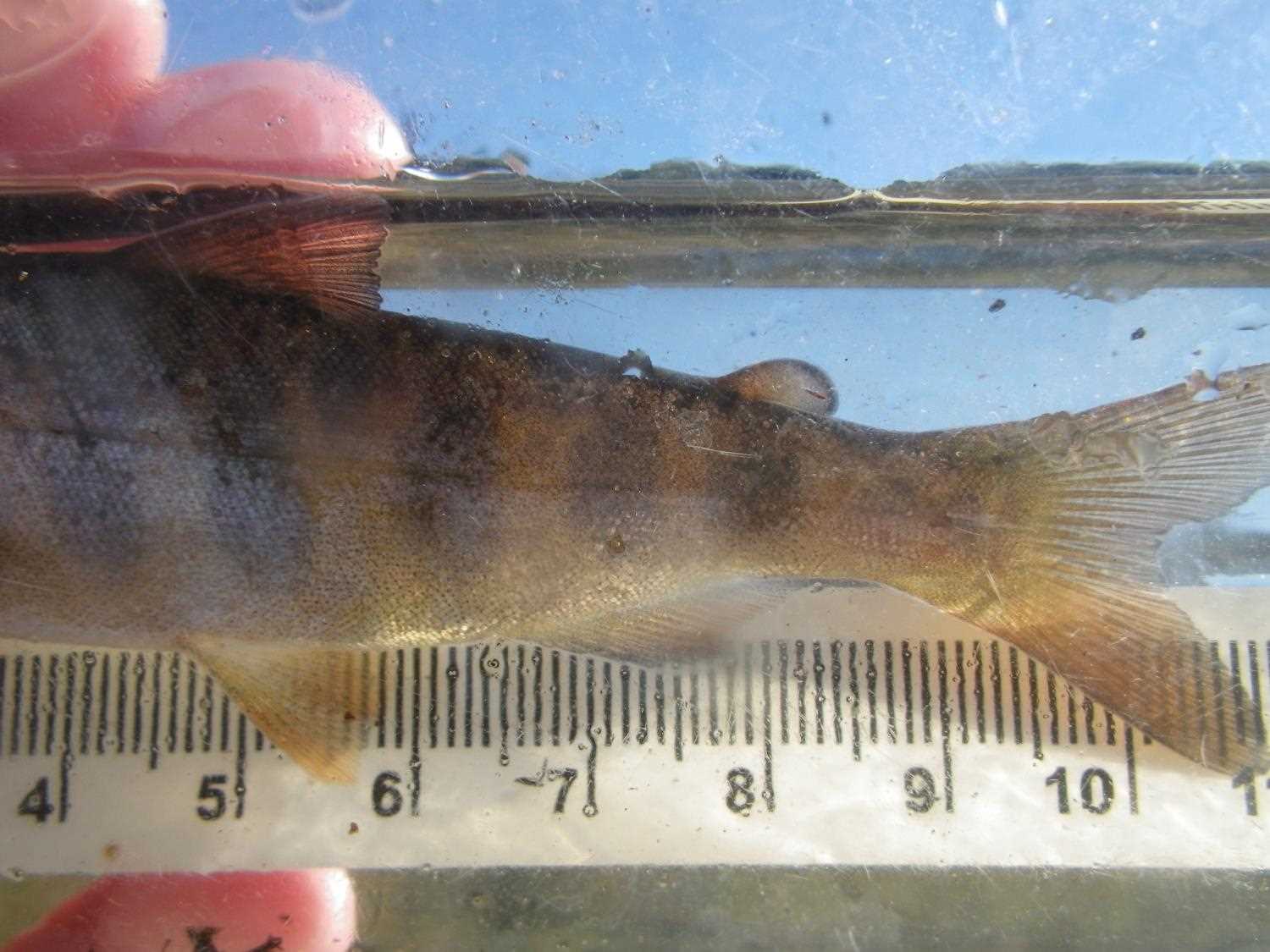
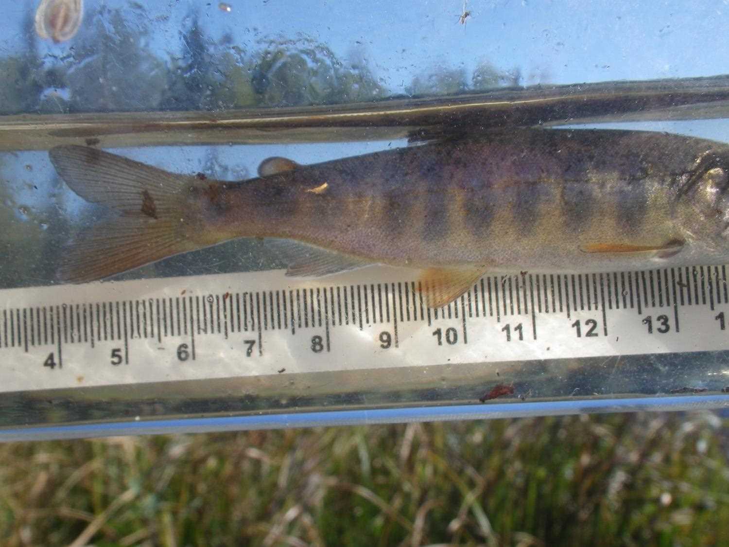
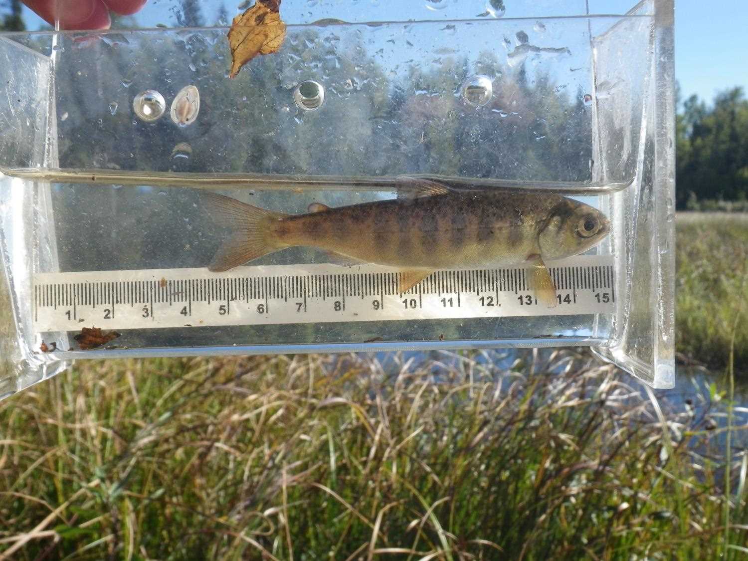
Photos
Questions or comments about this report can be directed to dfg.dsf.webmaster@alaska.gov