Fish Passage Site 20501391
Coordinates (dec. deg.): 62.60844°, -150.22281°
Legal Description: S029N005W16
Region: South Central
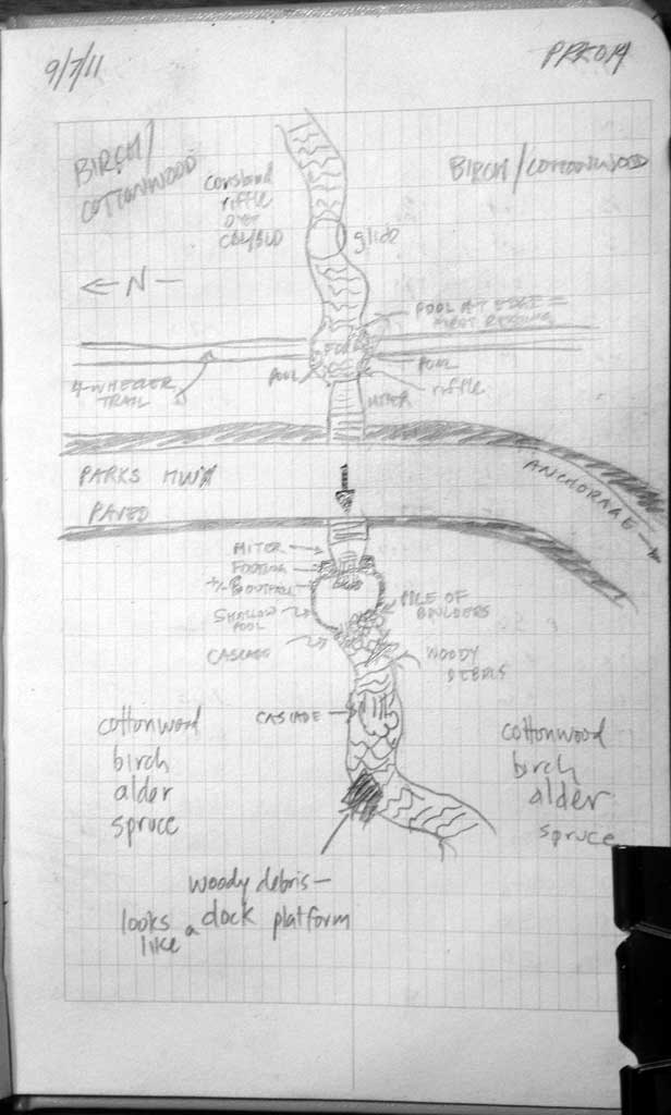
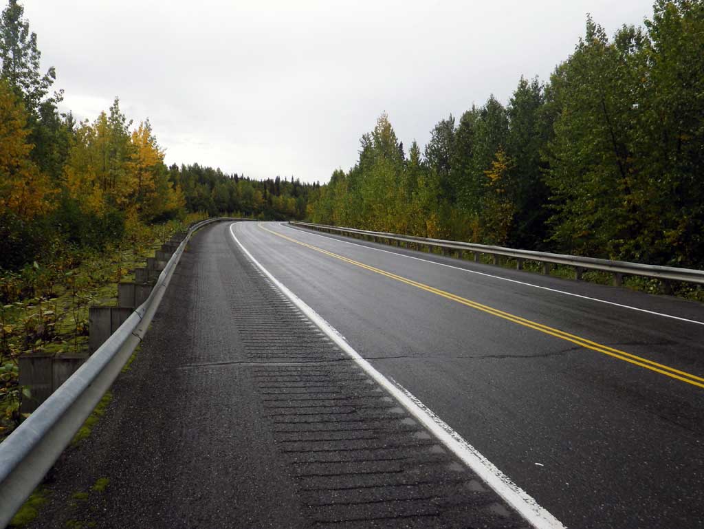
Road Name: Parks Highway
Datum: NAD83
Quad Name / ITM: Talkeetna C-1
AWC Stream #:
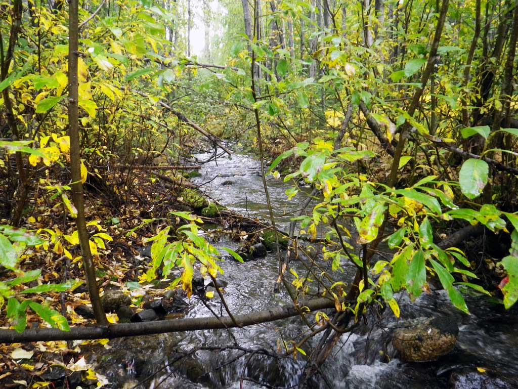
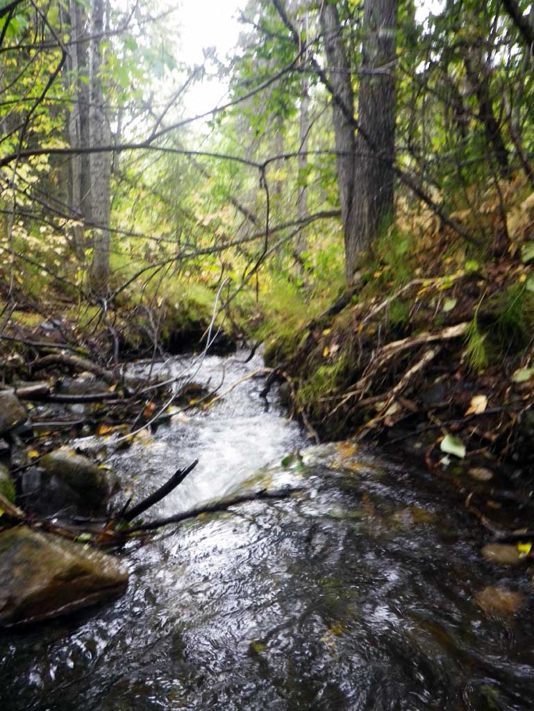
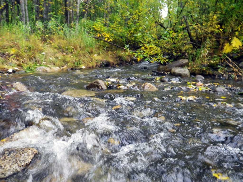
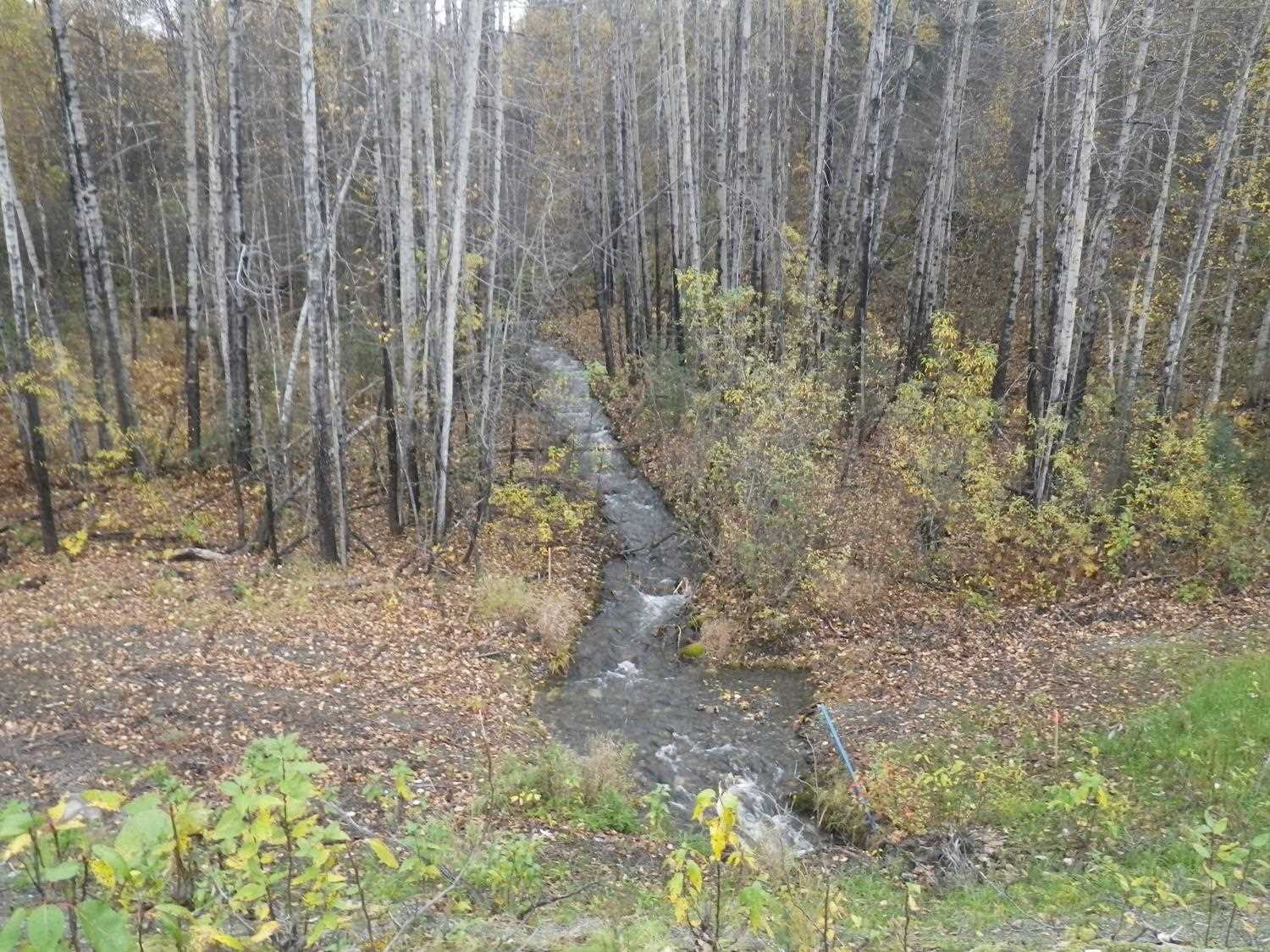
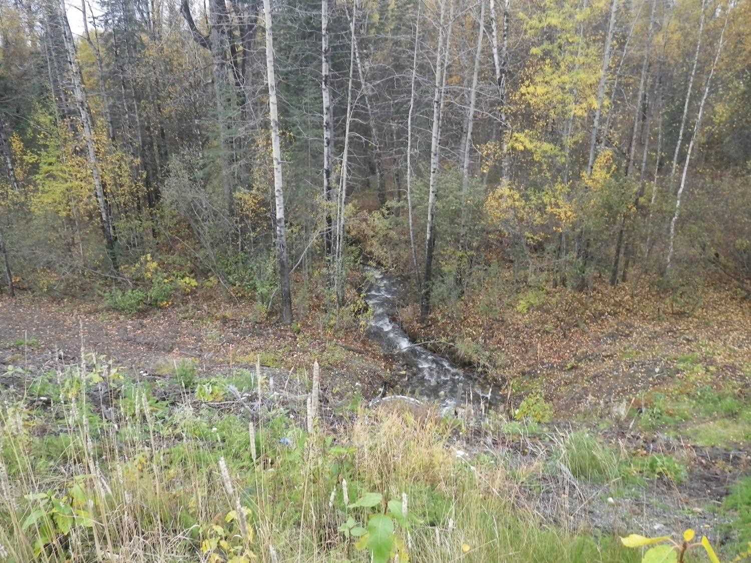
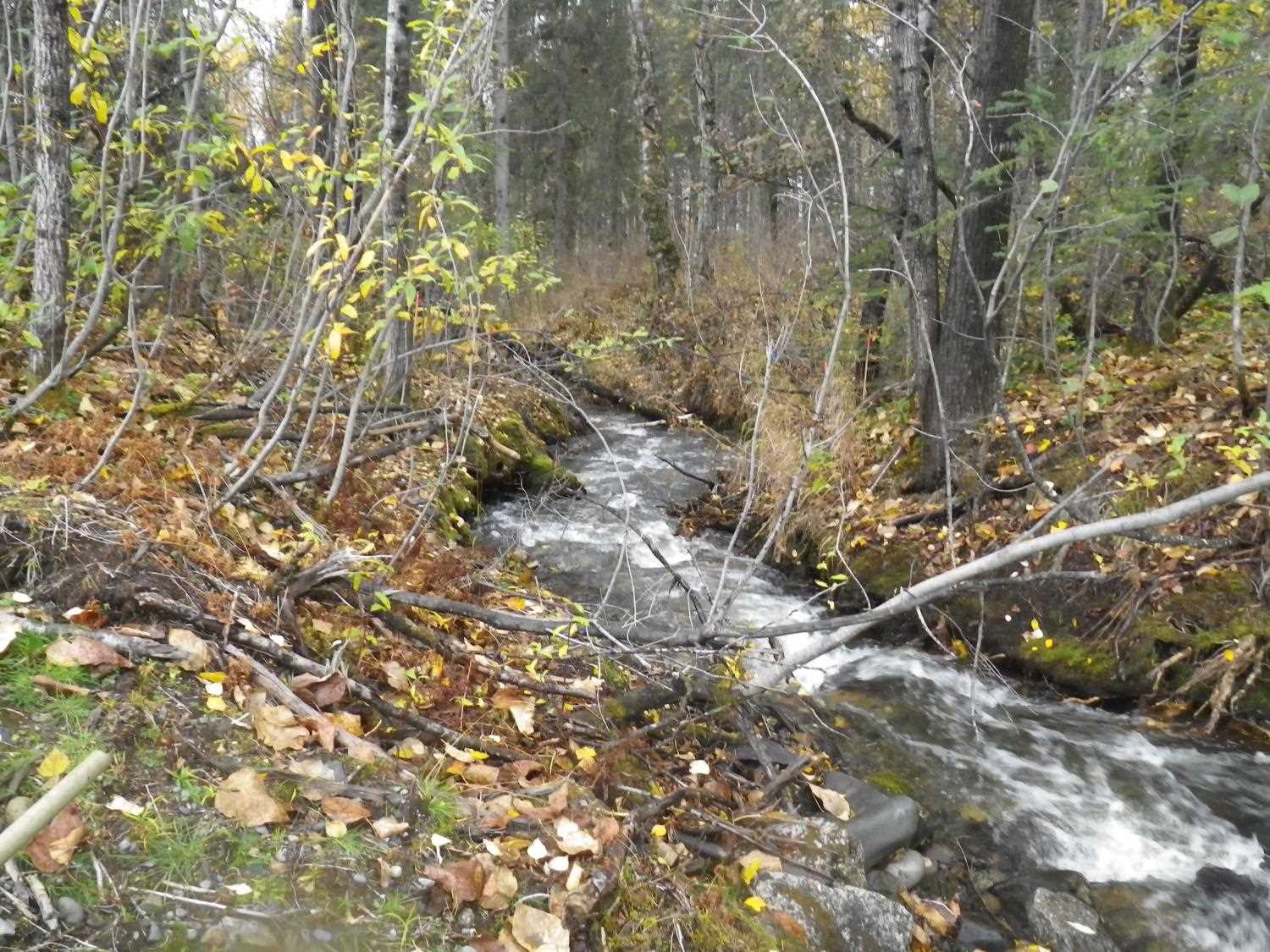
Stream Name: Chulitna River tributary
Elevation:
Site Comments: None
arrow to the right of the survey date below to choose a different report for this site.
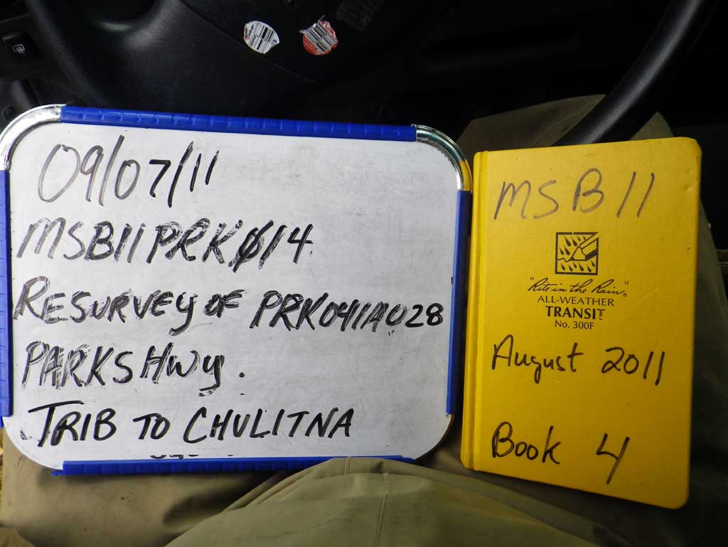
Survey MSB11-PRK14
Project Supervisor: Gillian O'Doherty, Alaska Department of Fish and Game
— Anchorage, AK
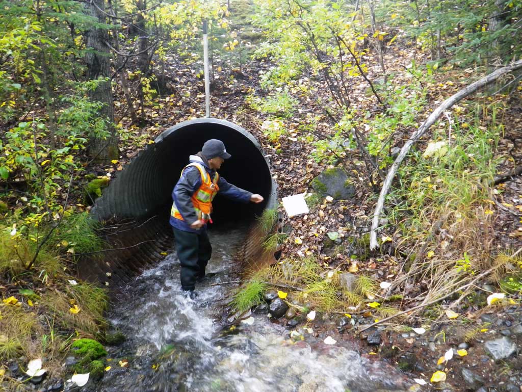
Observers: Abraham Gioffre, Jim Latham
Overall Fish Passage Rating:
Tidal: No
Backwatered: No
Step Pools: No
Construction Year:
Site Observations:
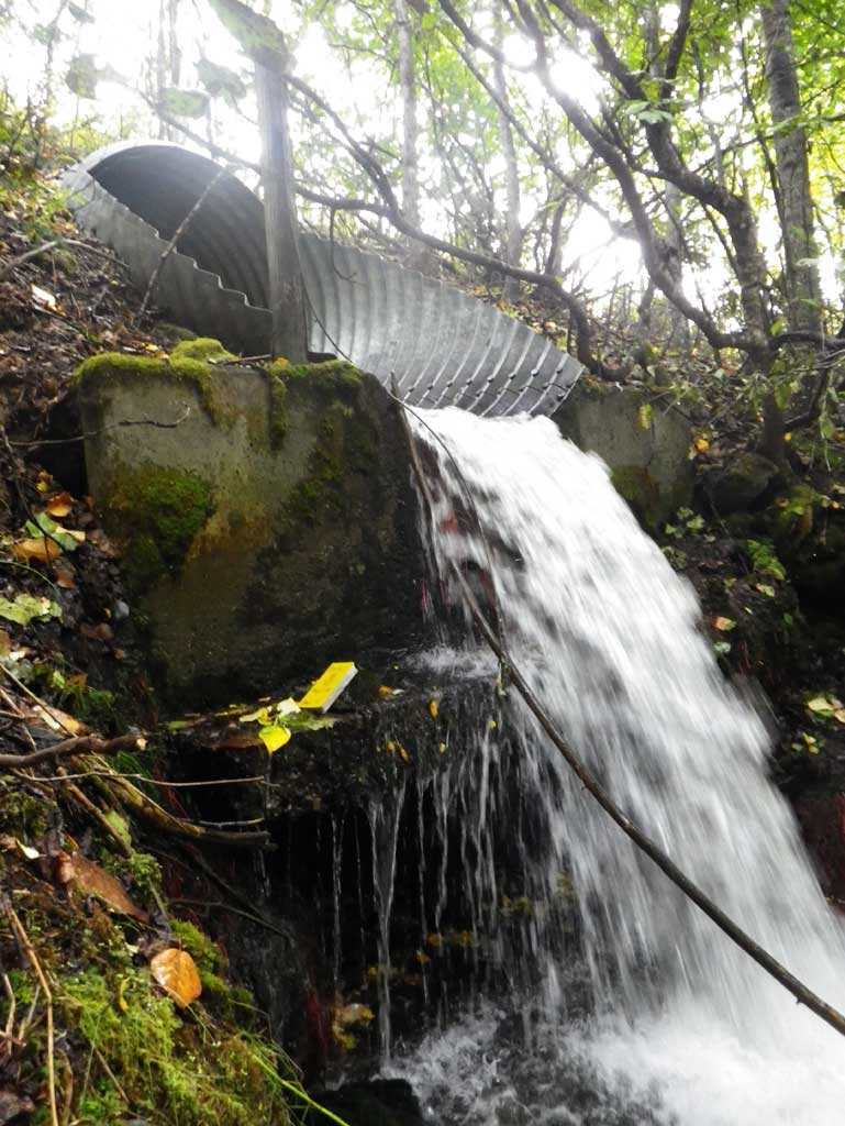
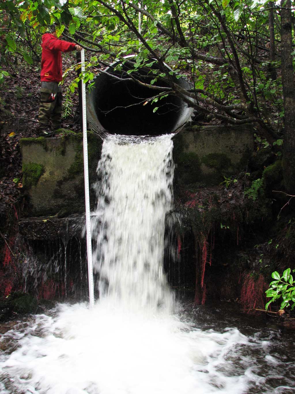
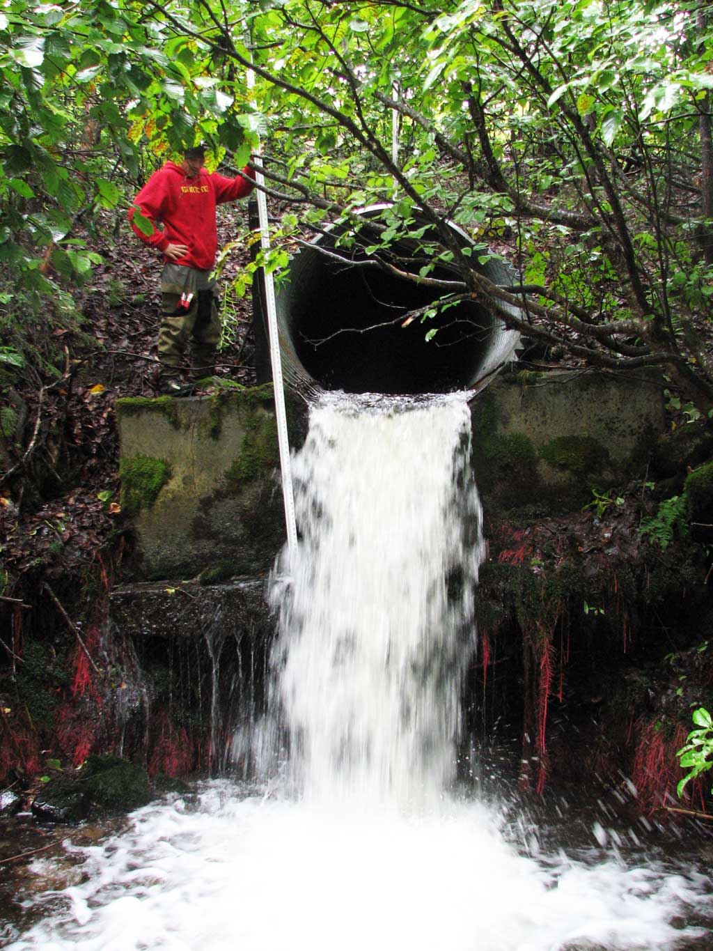
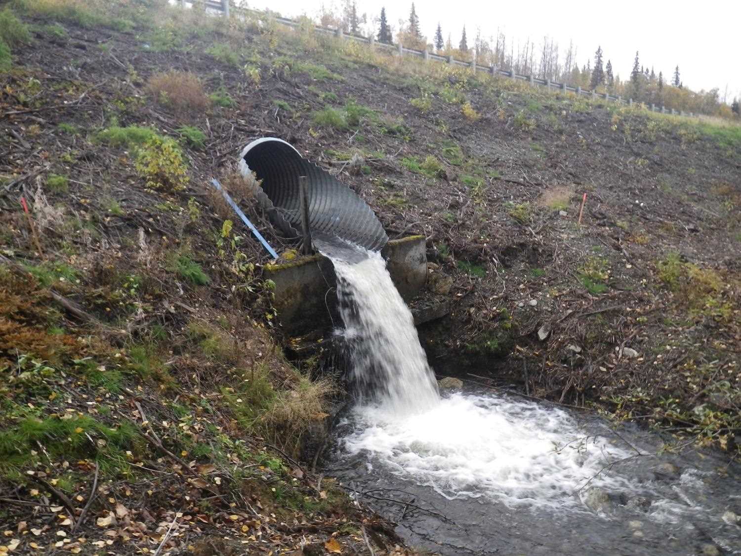
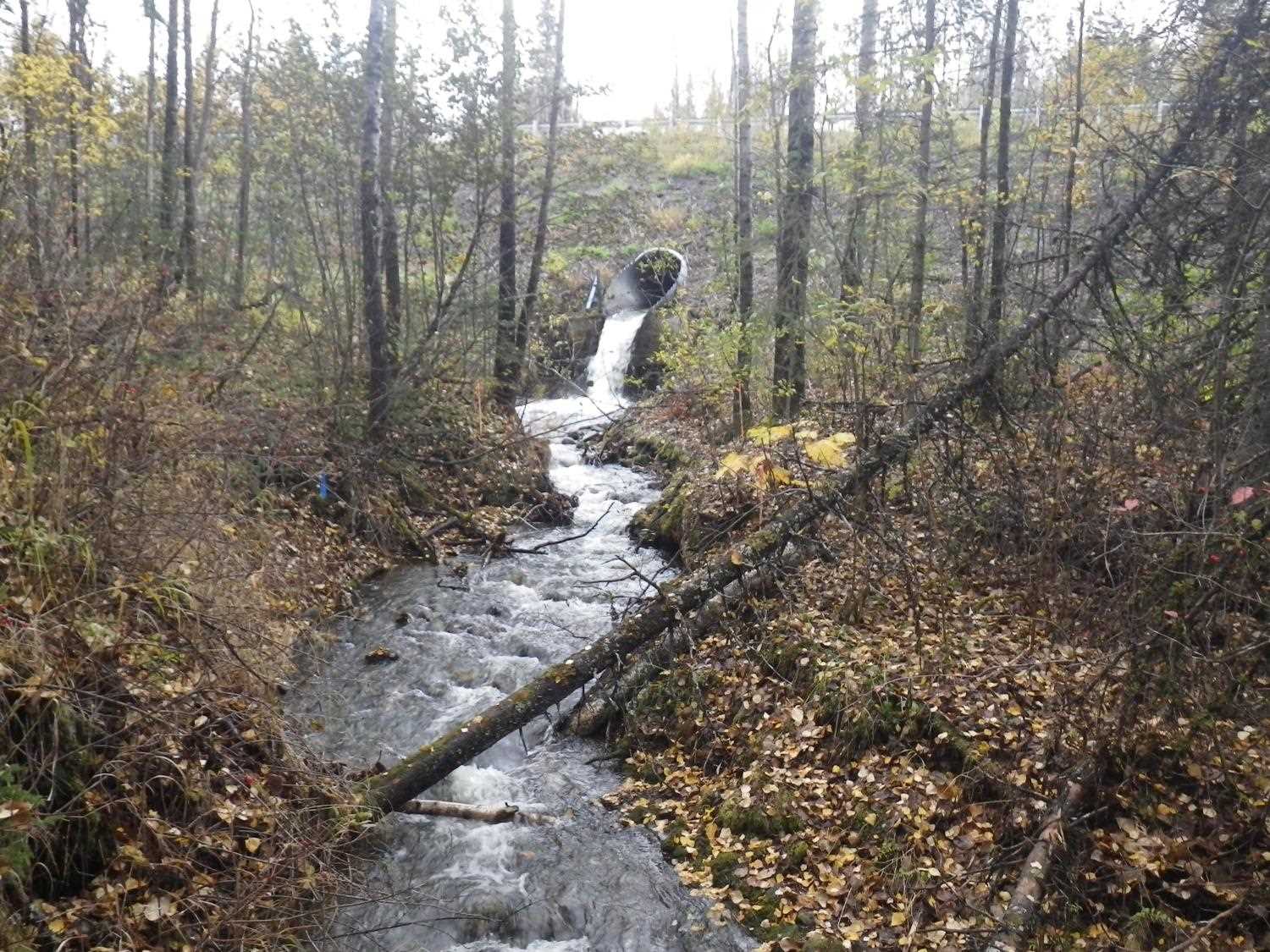
- Outfall height red
- Culvert gradient red
Comments: Resurvey of a site with limited information. **Updated site photos added from 9/22/16 site visit from Sampling Unmapped Streams in the MSB project. Fish sampling information entered into AFFI.
Culvert Measurements
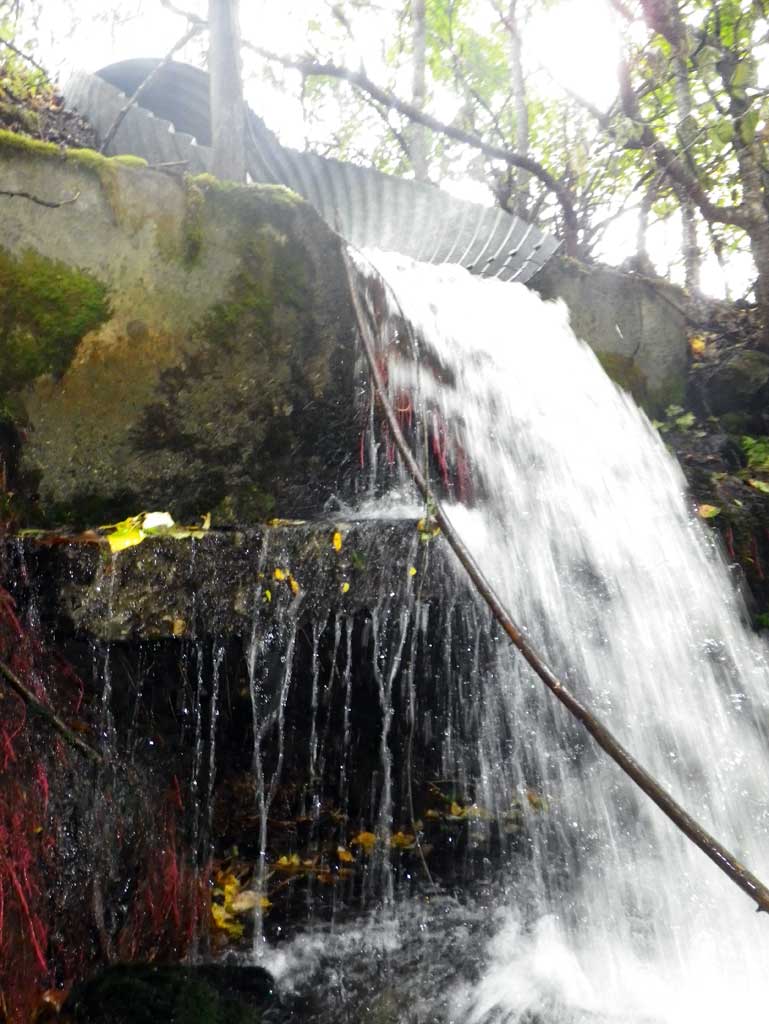
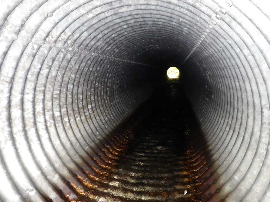
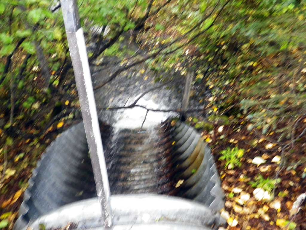
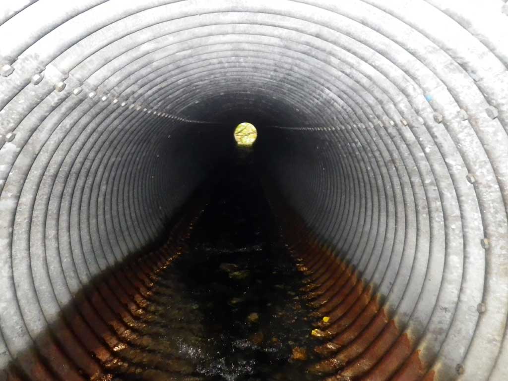
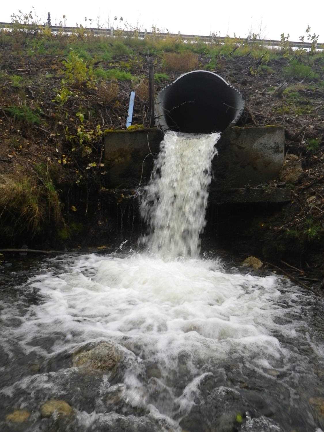
| ID: 1 | Structure Type: Circular pipe (Structural steel plate) | Fish Passage Rating: | |||||||||||||||||||||||||||||||||||||||||
|
|
|
|||||||||||||||||||||||||||||||||||||||||
Comments: Length of each miter is 8' and length of pipe is the total to the end. |
|||||||||||||||||||||||||||||||||||||||||||
Culvert Observations:
|
|||||||||||||||||||||||||||||||||||||||||||
Stream Measurements
|
|
| Stream Width Type | Distance From Crossing (ft) |
Stream Width (ft) |
|---|---|---|
| Upstream ordinary high water | 53.0 | 7.10 |
| Upstream ordinary high water | 92.0 | 7.60 |
| Upstream ordinary high water | 134.0 | 7.30 |
Elevations
| Locator ID | Culvert Number |
River Distance (ft)1 |
Distance From Crossing (ft)2 |
Relative Elevation (ft) |
|---|---|---|---|---|
| D/S Water Surface Elev | 0.00 | 67.88 | ||
| D/S Grade Ctrl (Thalweg) (GP) | 0.00 | 67.54 | ||
| D/S Grade Ctrl (Thalweg) (GP) | 20.00 | 68.41 | ||
| D/S Water Surface Elev | 20.00 | 68.68 | ||
| D/S Tailcrest or 1st Thalweg (tailwater control) | 34.00 | 69.06 | ||
| D/S Water Surface Elev | 34.00 | 69.28 | ||
| Max Pool Depth (max pool) | 42.00 | 67.72 | ||
| D/S Water Surface Elev (pool surface below end of pipe) | 43.00 | 69.22 | ||
| Misc. (top of footer support) | 48.00 | 73.17 | ||
| D/S Thalweg (bottom of pipe at end of miter) | 48.00 | 76.23 | ||
| D/S Water Surface Elev (water surface at end of pipe) | 48.00 | 76.56 | ||
| Outlet Invert (invert on pipe) | 56.00 | 76.86 | ||
| D/S Water Surface Elev (outlet water surface) | 56.00 | 77.26 | ||
| Outlet Culvert Top | 56.00 | 83.01 | ||
| Road Elev | 118.00 | 100.00 | ||
| Inlet Culvert Top | 171.00 | 85.52 | ||
| Inlet Culvert Invert (on pipe) | 171.00 | 79.40 | ||
| U/S Water Surface Elev (inlet water surface) | 171.00 | 79.93 | ||
| U/S Water Surface Elev | 179.00 | 80.06 | ||
| U/S Thalweg (bottom of pipe at end of miter) | 179.00 | 79.58 | ||
| U/S Grade Ctrl (Thalweg) (GP at riffle near ATV fiord) | 192.00 | 81.00 | ||
| U/S Water Surface Elev | 192.00 | 81.27 | ||
| U/S Water Surface Elev (water surface for stream grad) | 197.00 | 81.32 | ||
| U/S Water Surface Elev | 232.00 | 82.82 | ||
| U/S Water Surface Elev (water surface for stream grad) | 332.00 | 84.69 |
Notes:
- River distance is measured continuously throughout the survey reach along the thalweg of the stream.
- Measured from each end of the crossing along the thalweg of the stream.
Fish Sampling Efforts
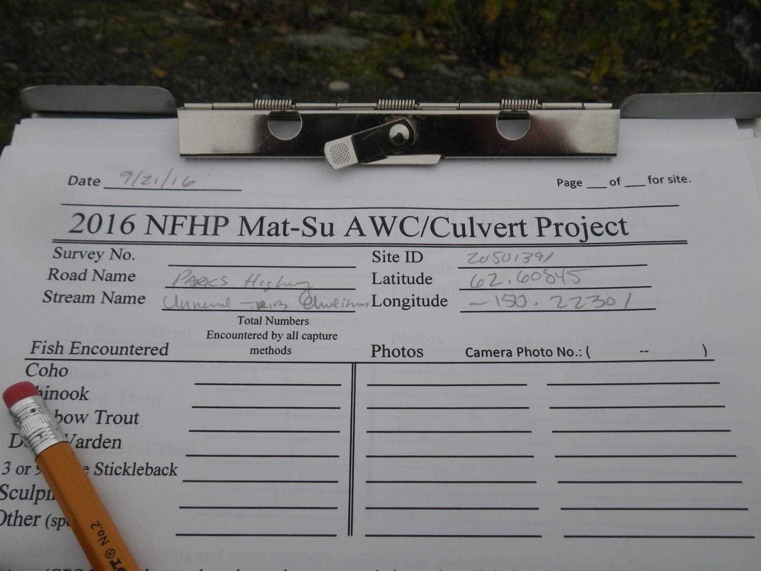
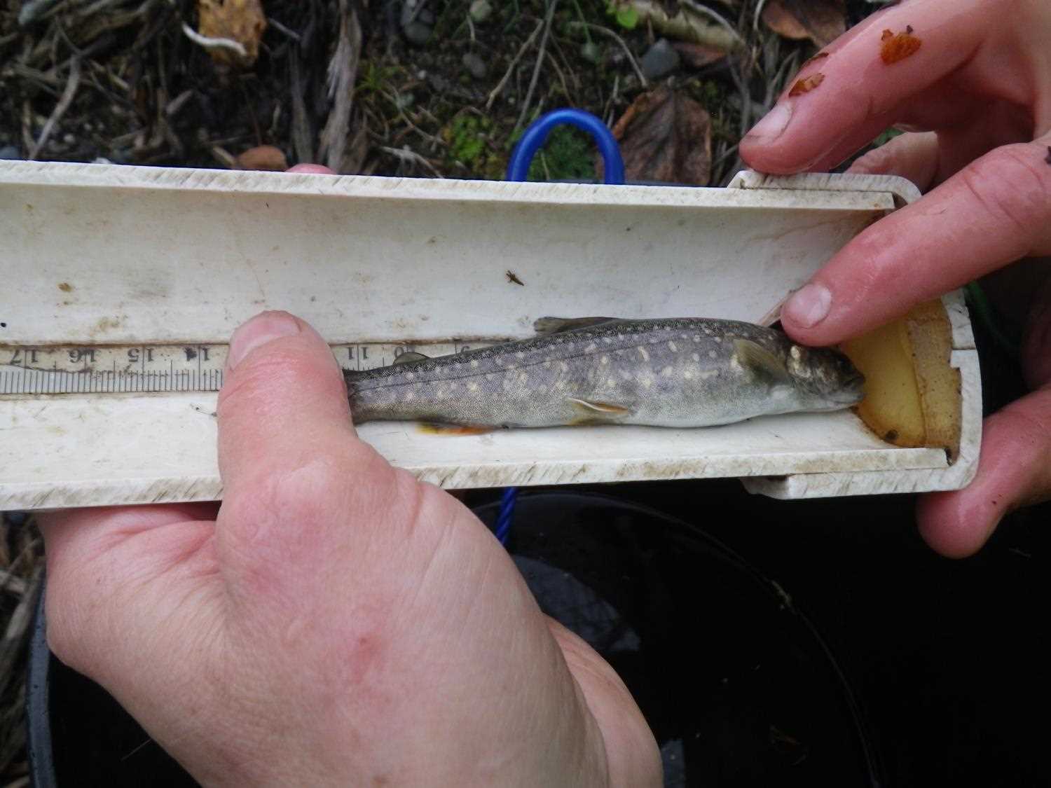
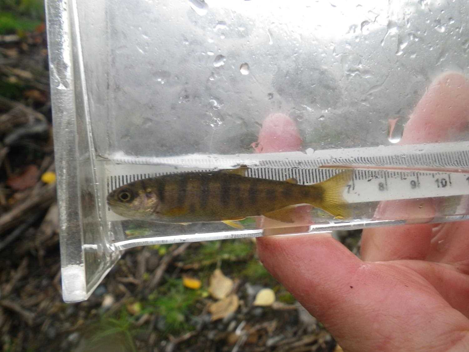
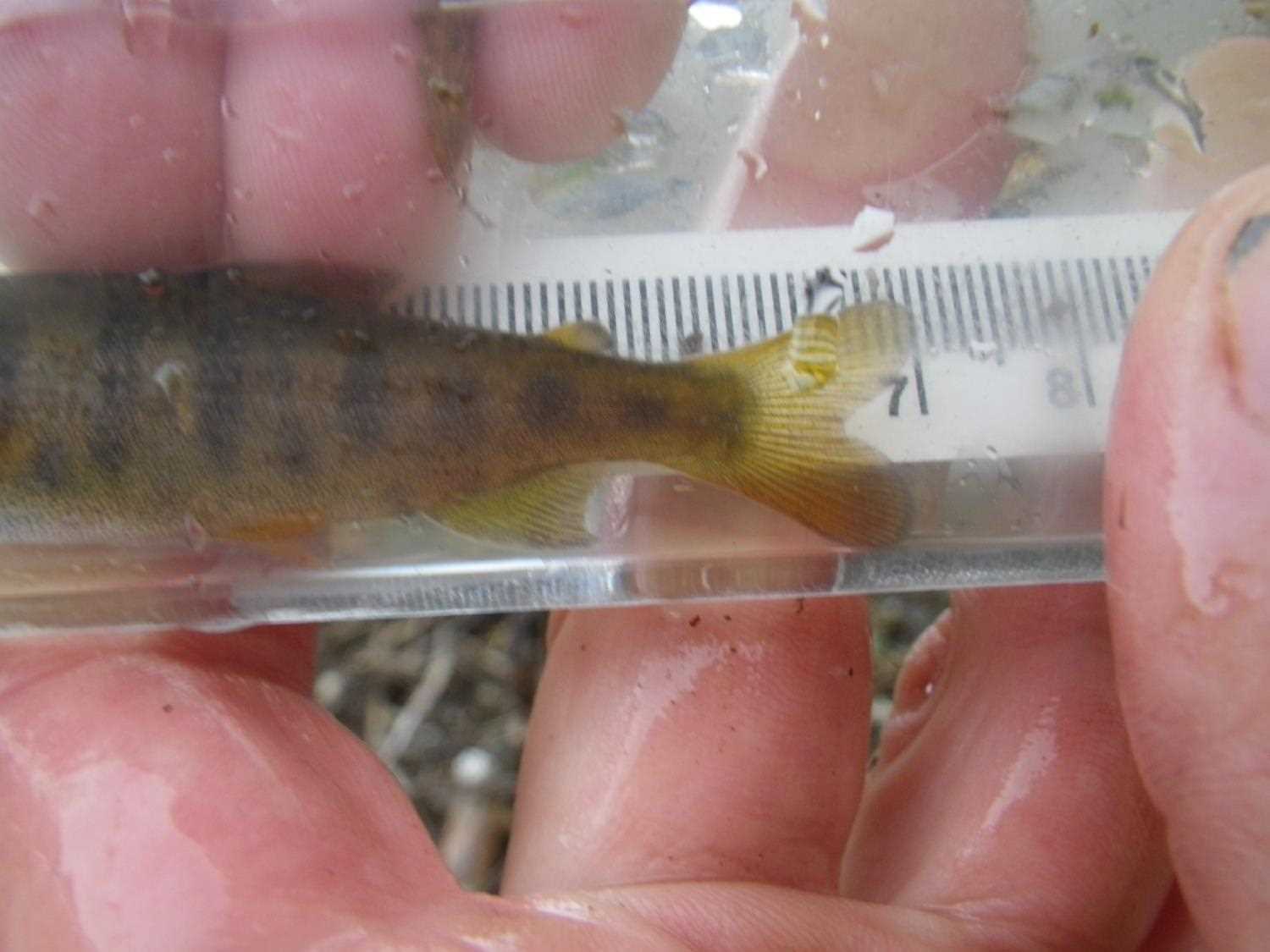
No fish sampling occurred during this survey.
Fish Observations
No fish observations occurred during this survey.
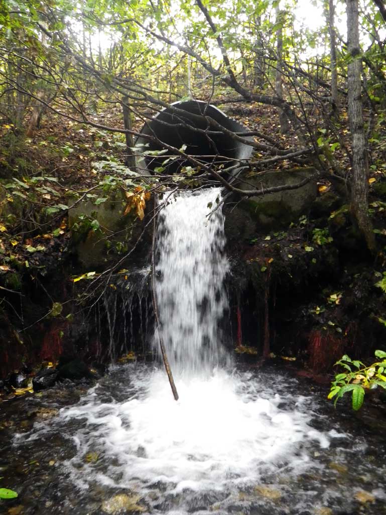
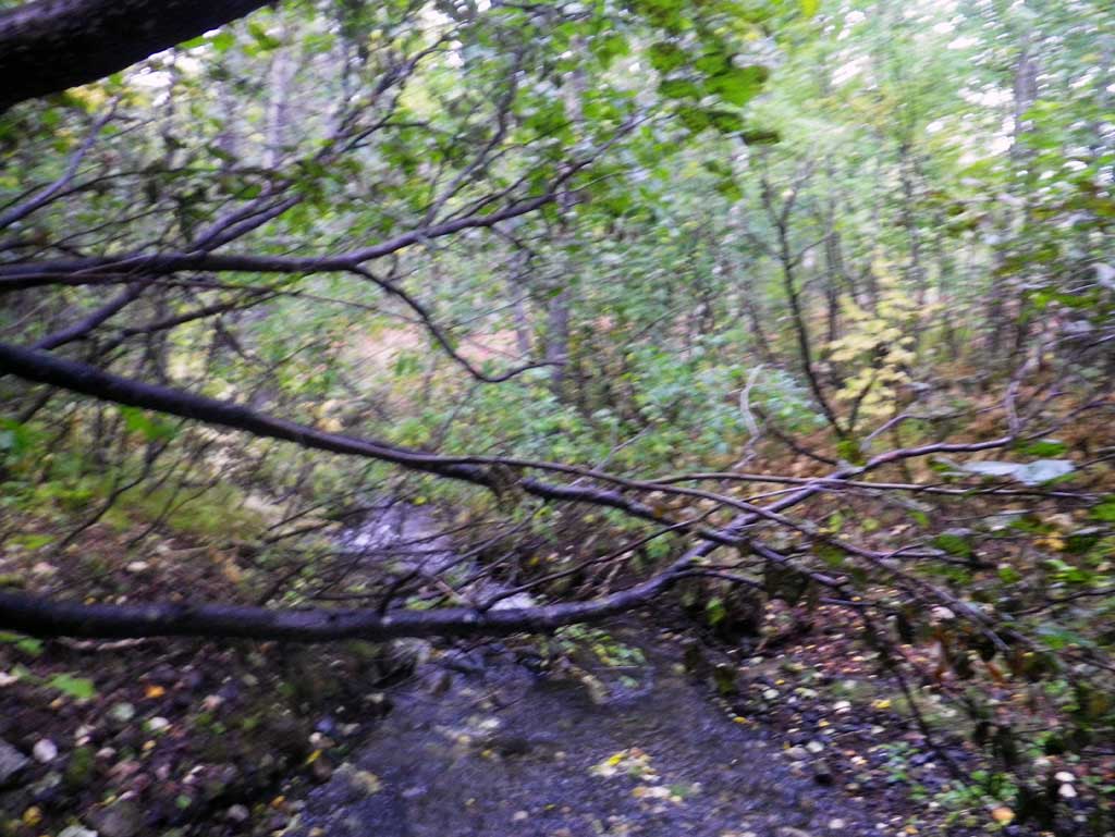
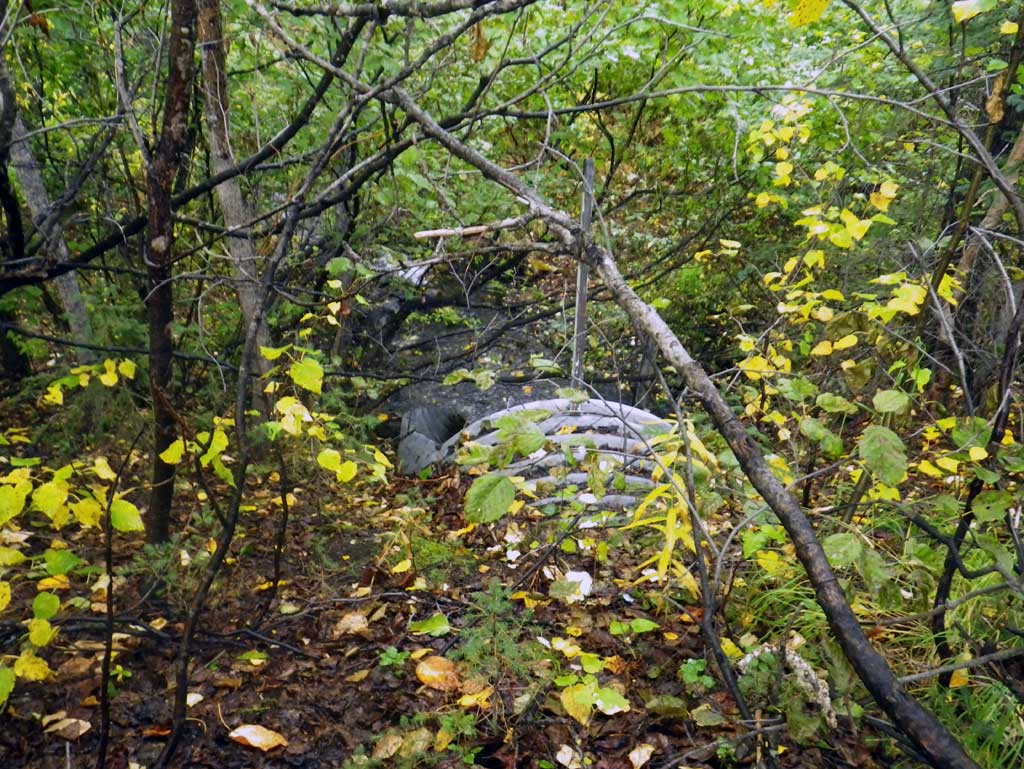
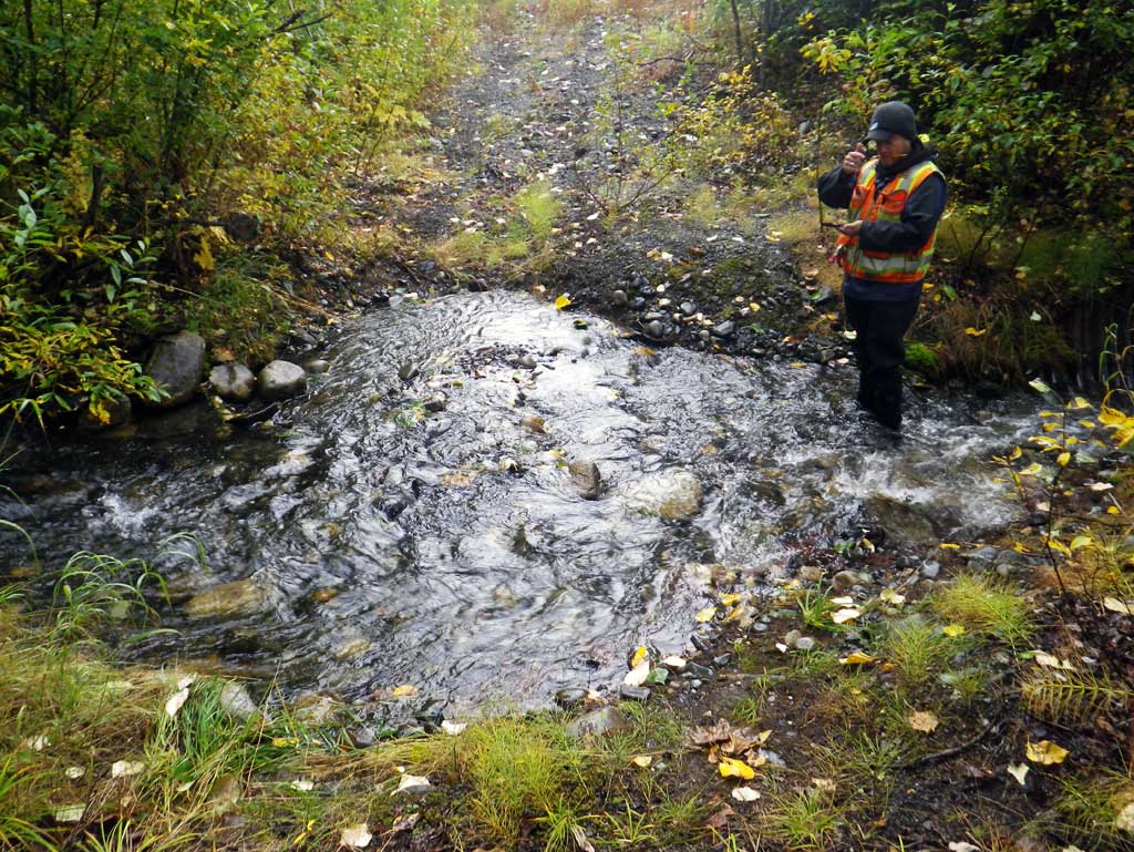
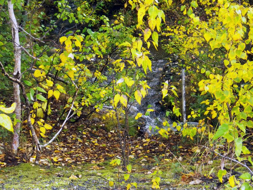
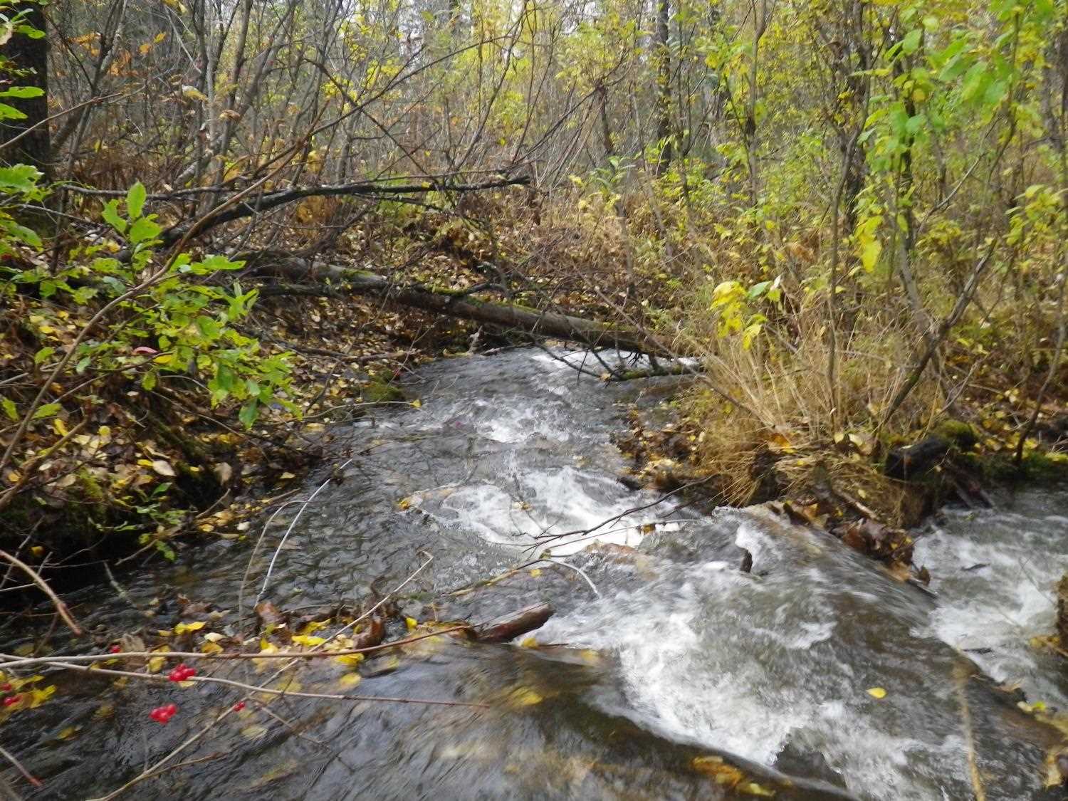
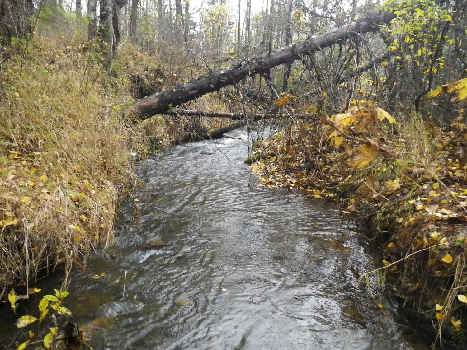
Photos
Questions or comments about this report can be directed to dfg.dsf.webmaster@alaska.gov