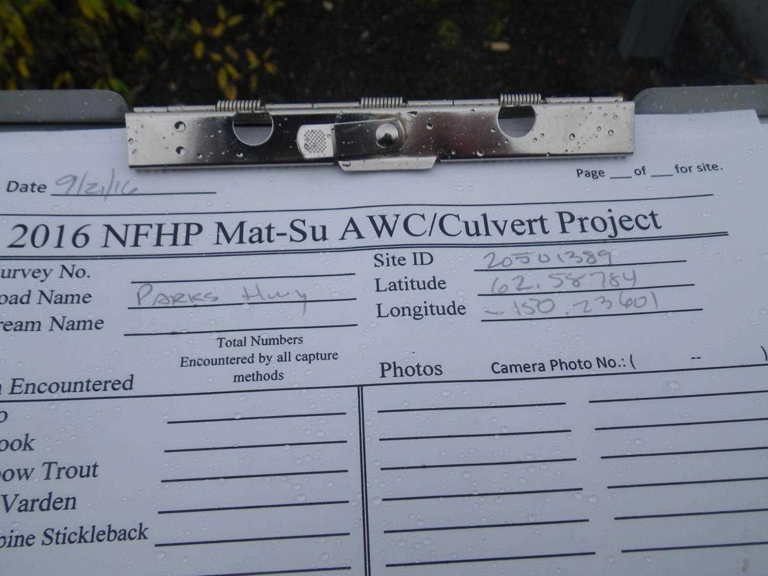
Fish Passage Site 20501389
Coordinates (dec. deg.): 62.58795°, -150.23599°
Legal Description: S029N005W20
Region: South Central
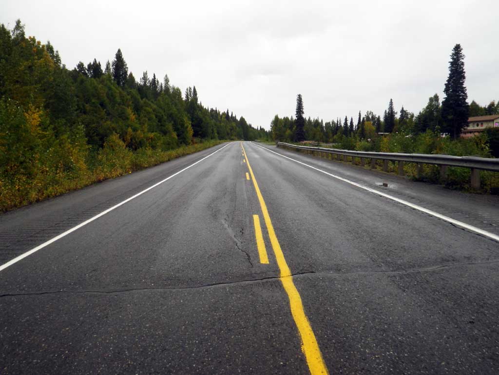
Road Name: Parks Highway
Datum: NAD83
Quad Name / ITM: Talkeetna C-1
AWC Stream #:
Stream Name: Chulitna River tributary
Elevation:
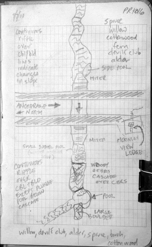
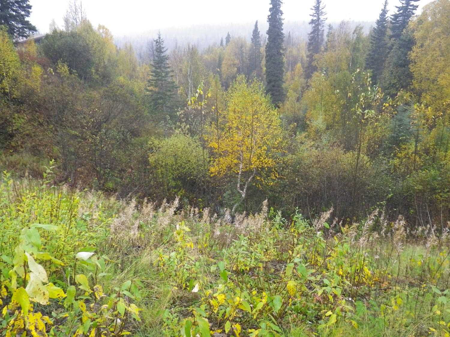
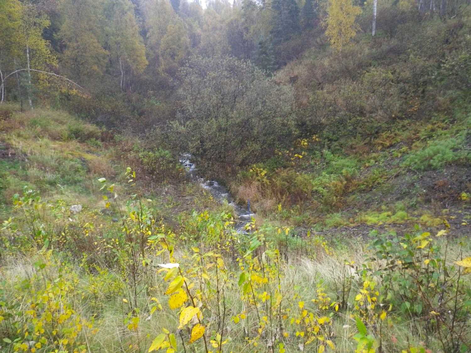
Site Comments: CHULITNA RIVER WATERSHED,
arrow to the right of the survey date below to choose a different report for this site.
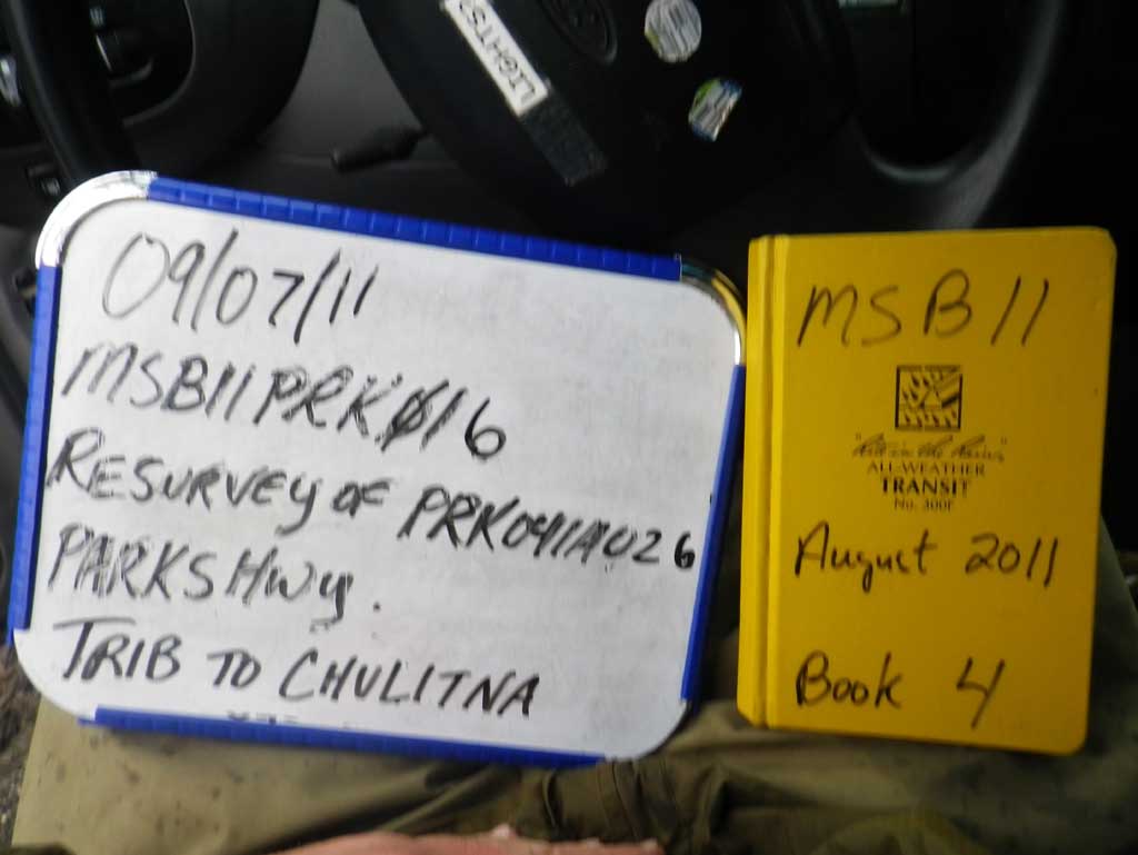
Survey MSB11-PRK16
Project Supervisor: Gillian O'Doherty, Alaska Department of Fish and Game
— Anchorage, AK
Observers: Abraham Gioffre, Jim Latham
Overall Fish Passage Rating:
Tidal: No
Backwatered: No
Step Pools: No
Construction Year:
Site Observations:
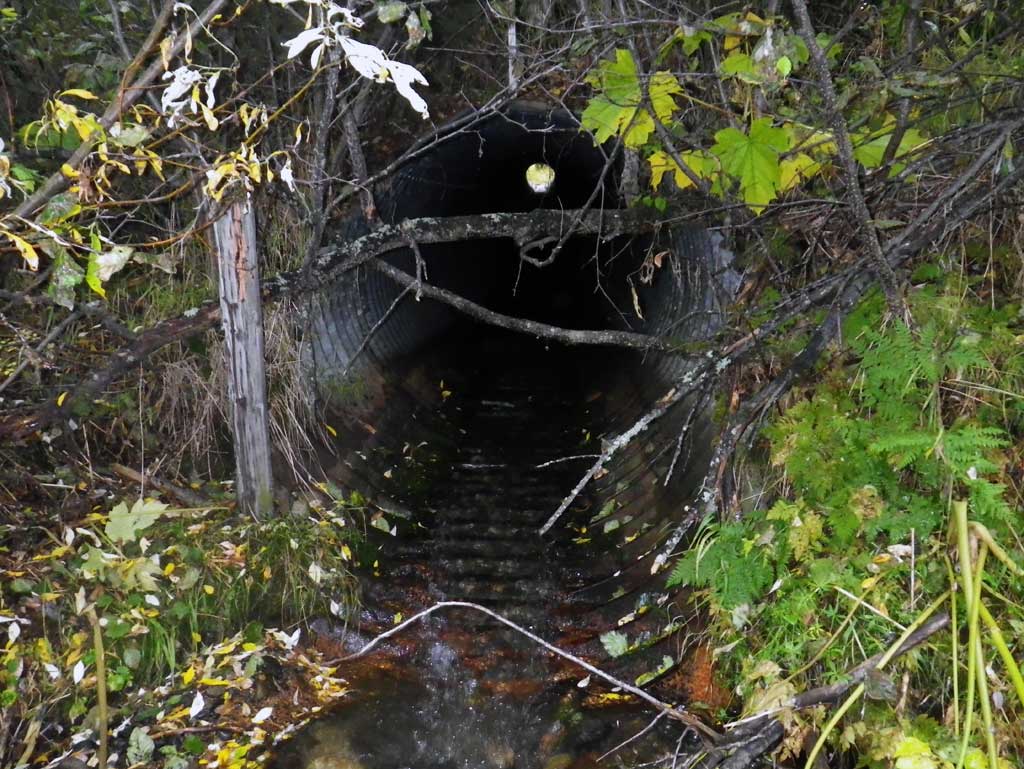
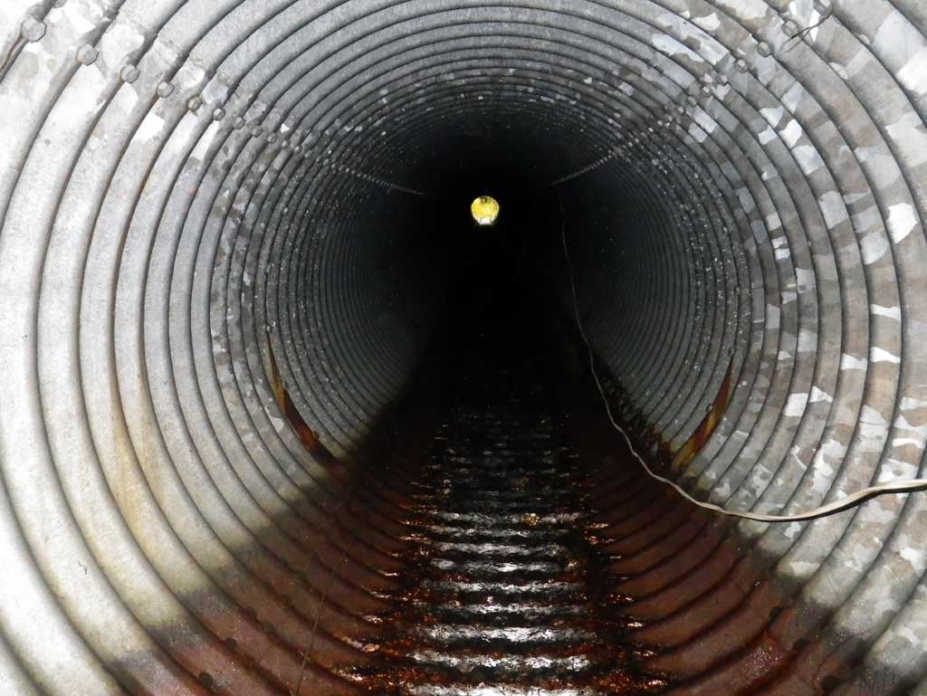
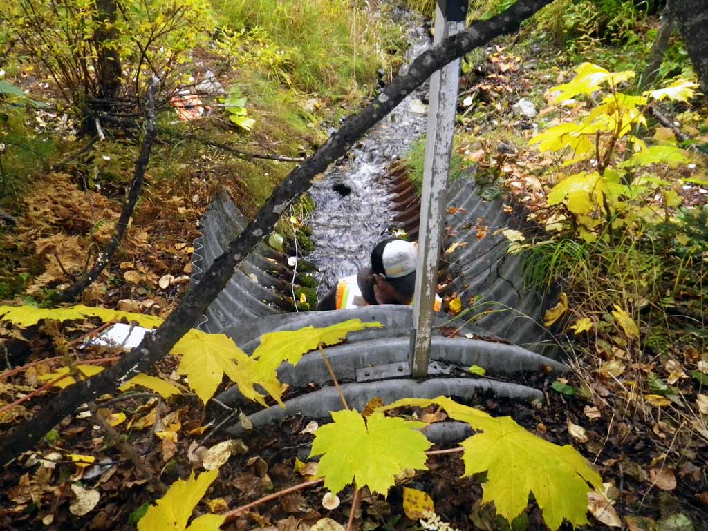
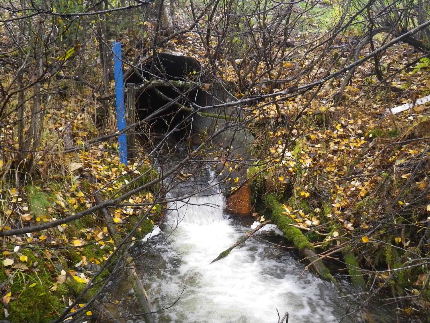
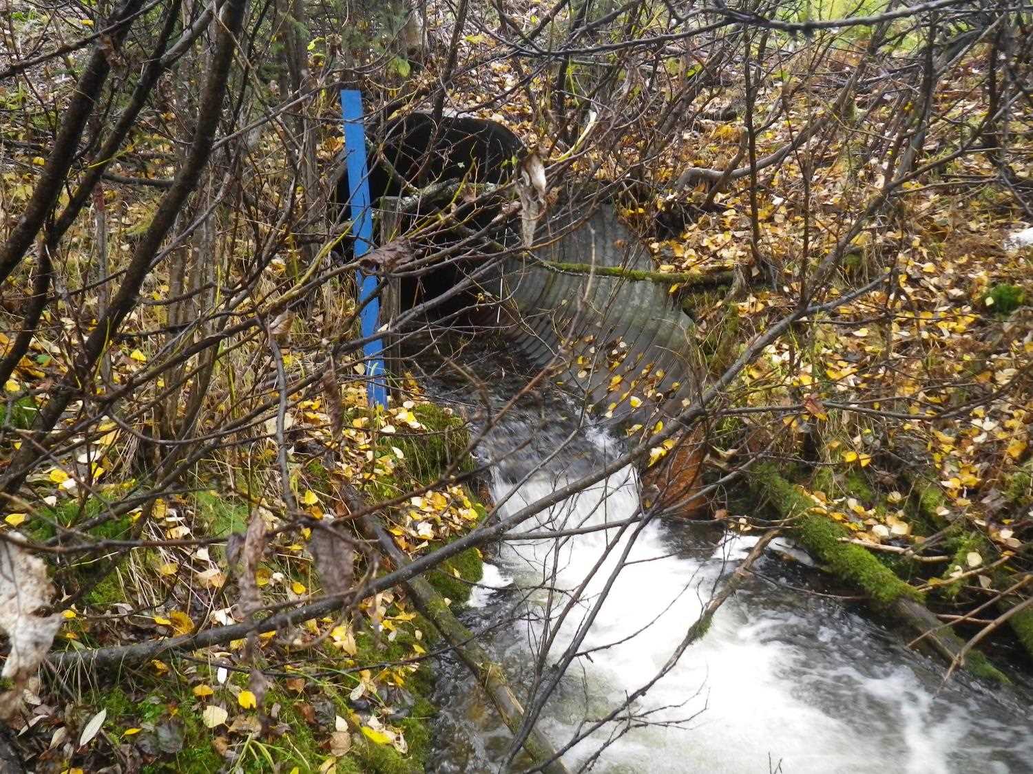
- Culvert gradient red
- Outfall height red
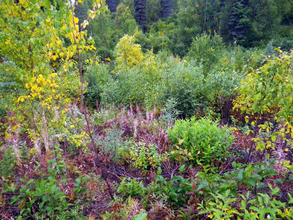
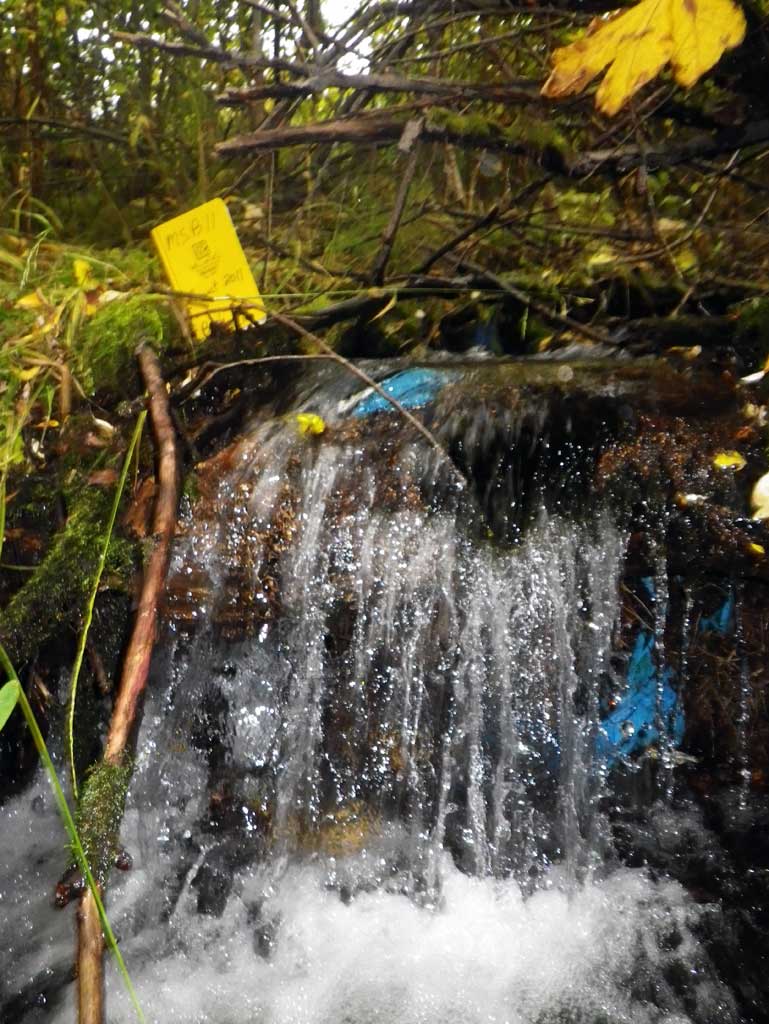
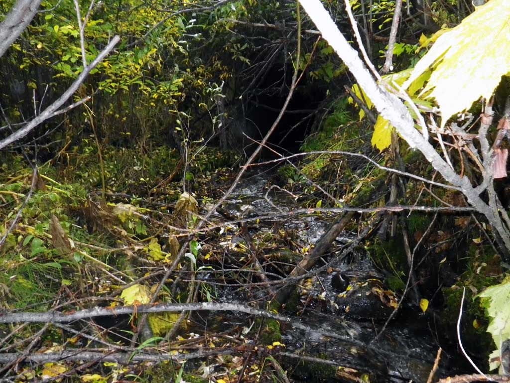
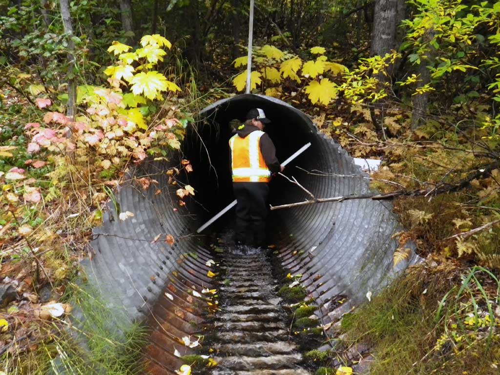
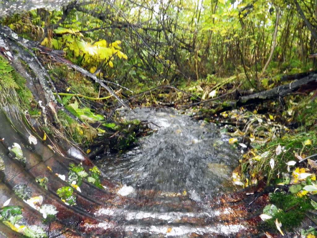
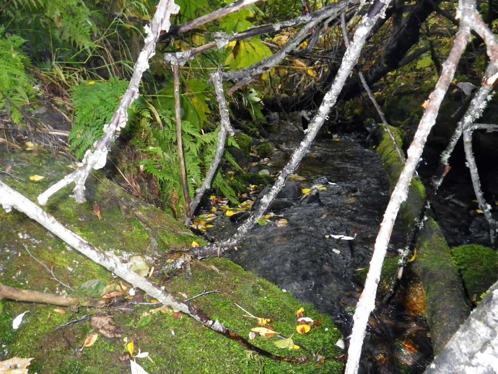
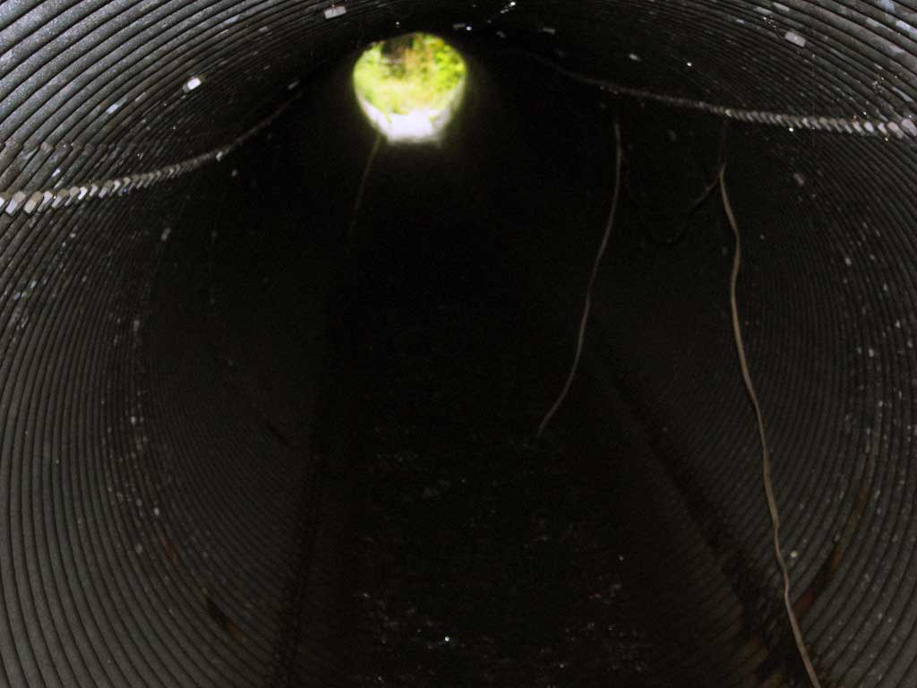
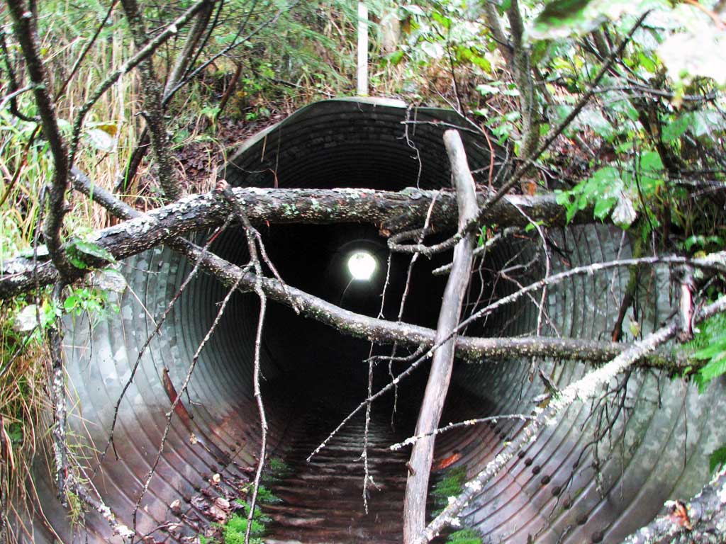
Comments: Site is too brushy to survey and the pipe gradient was determined using the range finder slope function. Dwst of the site are several grade drops with the first one measured at 1.9' with the survey rod. Pipe gradient determined using the slope feature of the range finder. Could not survey due to heavy brush. **Updated site photos and fish sampling information added from 9/22/16 site visit from Sampling Unmapped Streams in the MSB project. Culvert now has a RED outfall.
Culvert Measurements
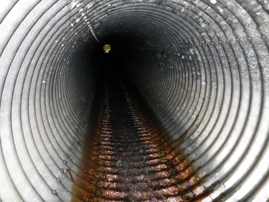
| ID: 1 | Structure Type: Circular pipe (Structural steel plate) | Fish Passage Rating: | |||||||||||||||||||||||||||||||||||||||||
|
|
|
|||||||||||||||||||||||||||||||||||||||||
Comments: Pipe gradient measured with range finder to be 4.5%. Inlet miter length measured 10' and the outlet miter length was 8' as the length is the total to the end of pipe. |
|||||||||||||||||||||||||||||||||||||||||||
Culvert Observations:
|
|||||||||||||||||||||||||||||||||||||||||||
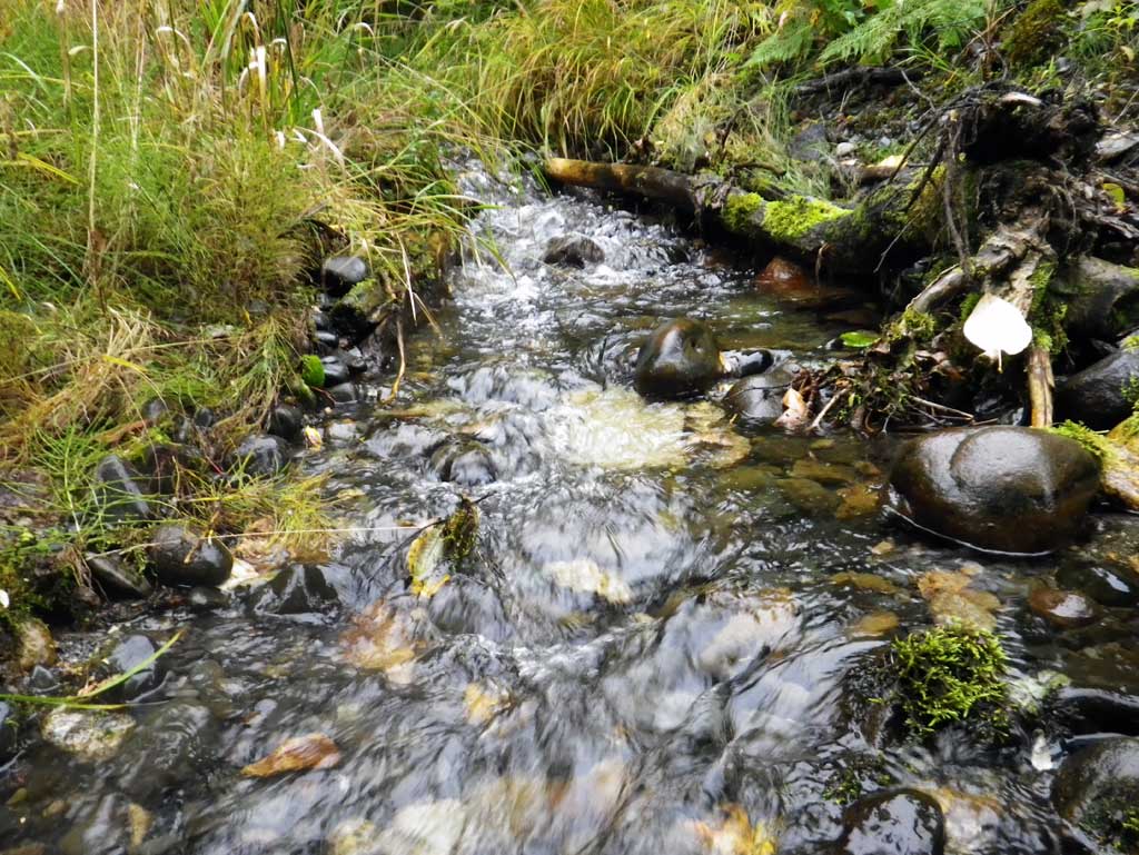
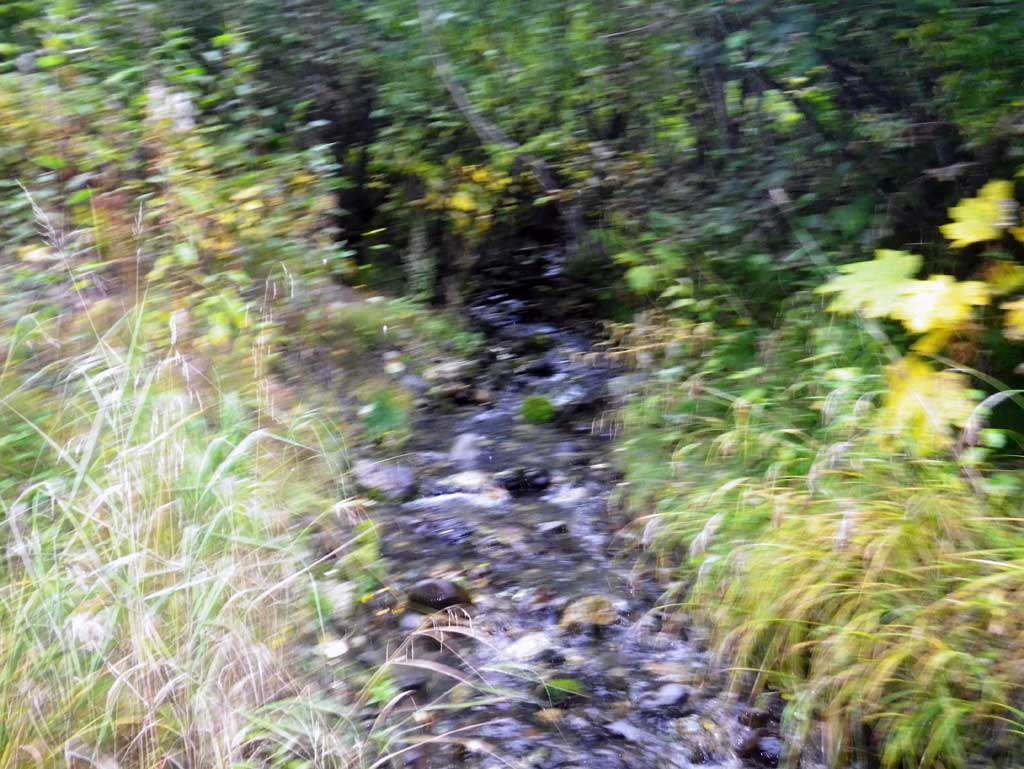
Stream Measurements
|
|
| Stream Width Type | Distance From Crossing (ft) |
Stream Width (ft) |
|---|---|---|
| Upstream ordinary high water | 30.0 | 7.10 |
| Upstream ordinary high water | 71.0 | 7.00 |
| Upstream ordinary high water | 112.0 | 7.30 |
Elevations
No elevation data available.
Fish Sampling Efforts
| Gear Type: Minnow Trap (A) | ||
| Comments: Several sticklebacks caught in trap. | ||
Fish Observations
No fish observations occurred during this survey.
Photos
Questions or comments about this report can be directed to dfg.dsf.webmaster@alaska.gov