Fish Passage Site 20501379
Coordinates (dec. deg.): 62.91069°, -149.71436°
Legal Description: S033N002W31
Region: South Central
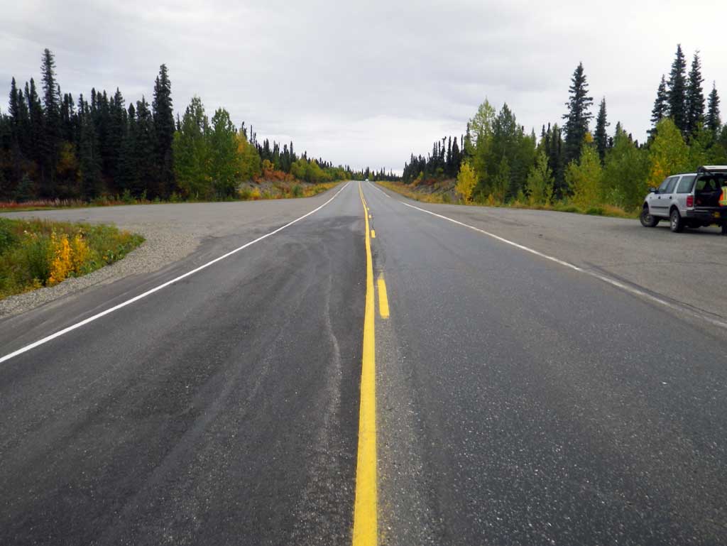
Road Name: Parks Highway
Datum: NAD83
Quad Name / ITM: Talkeetna Mts D-6
AWC Stream #:
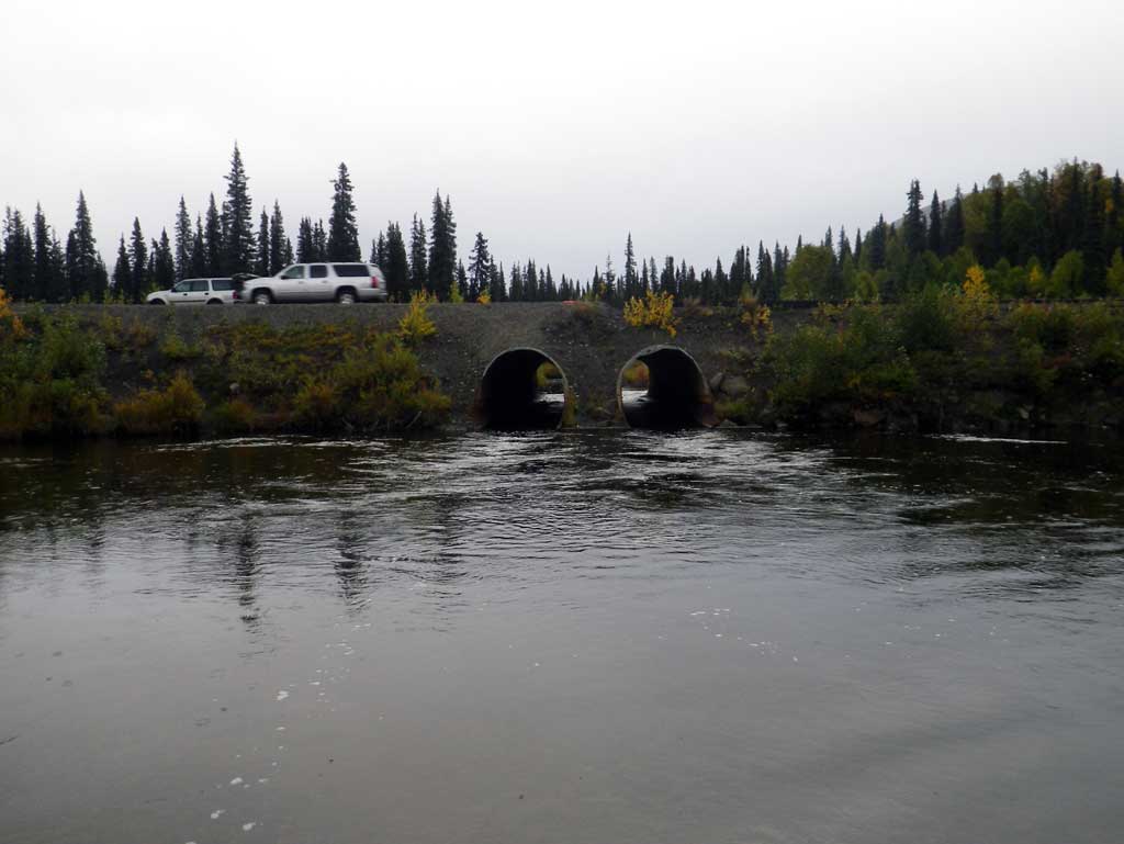
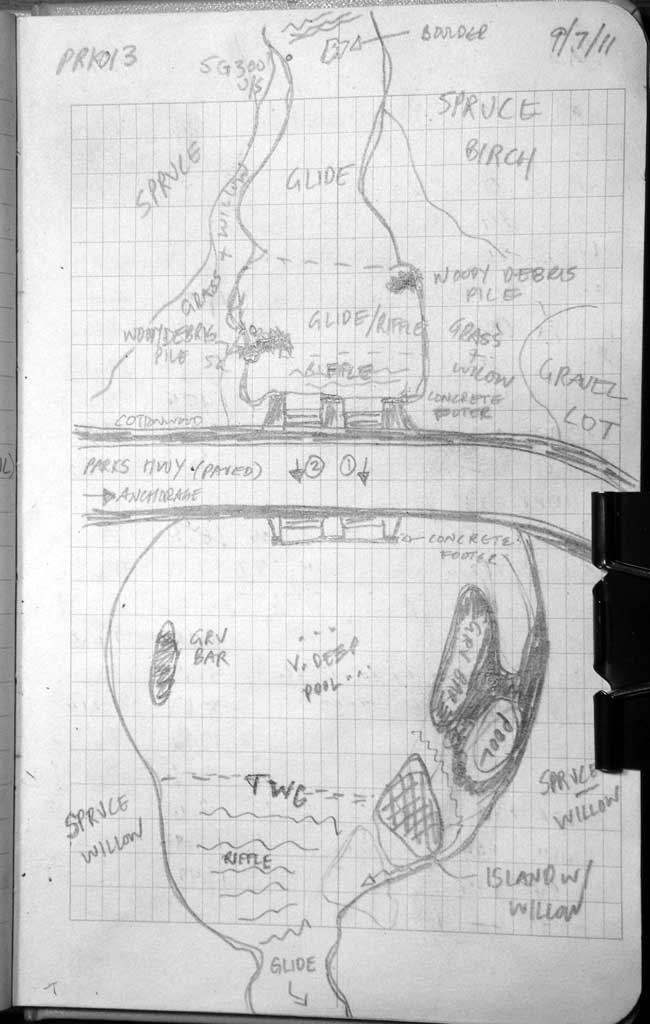
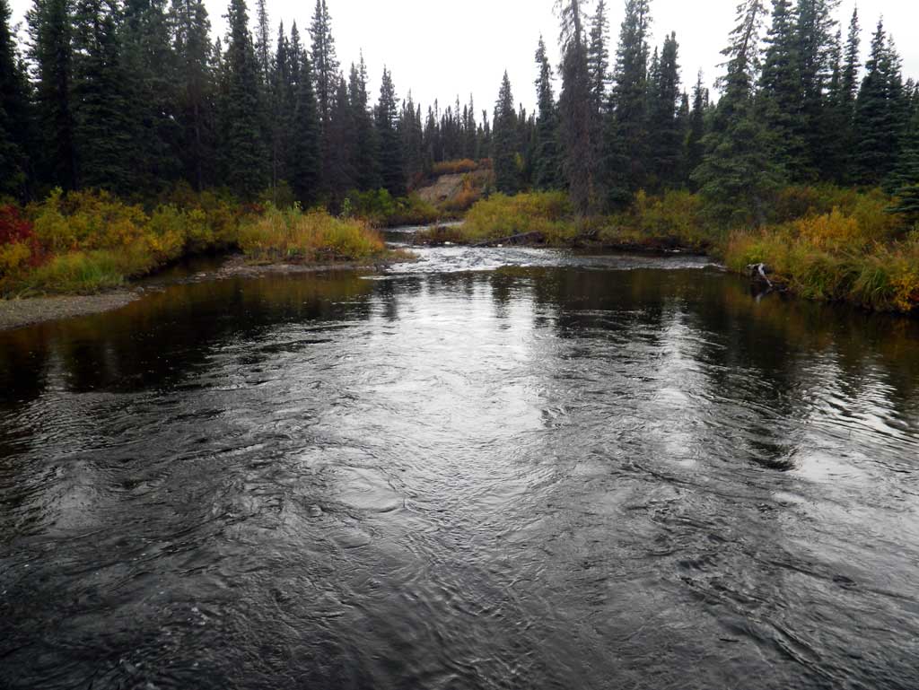
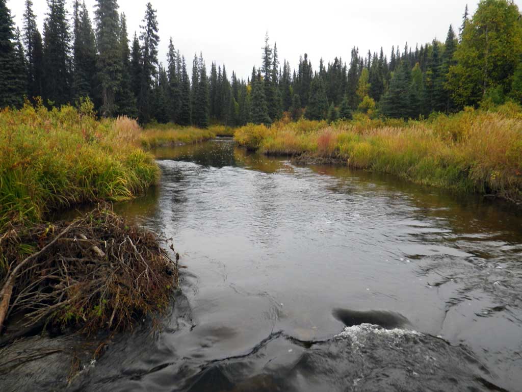
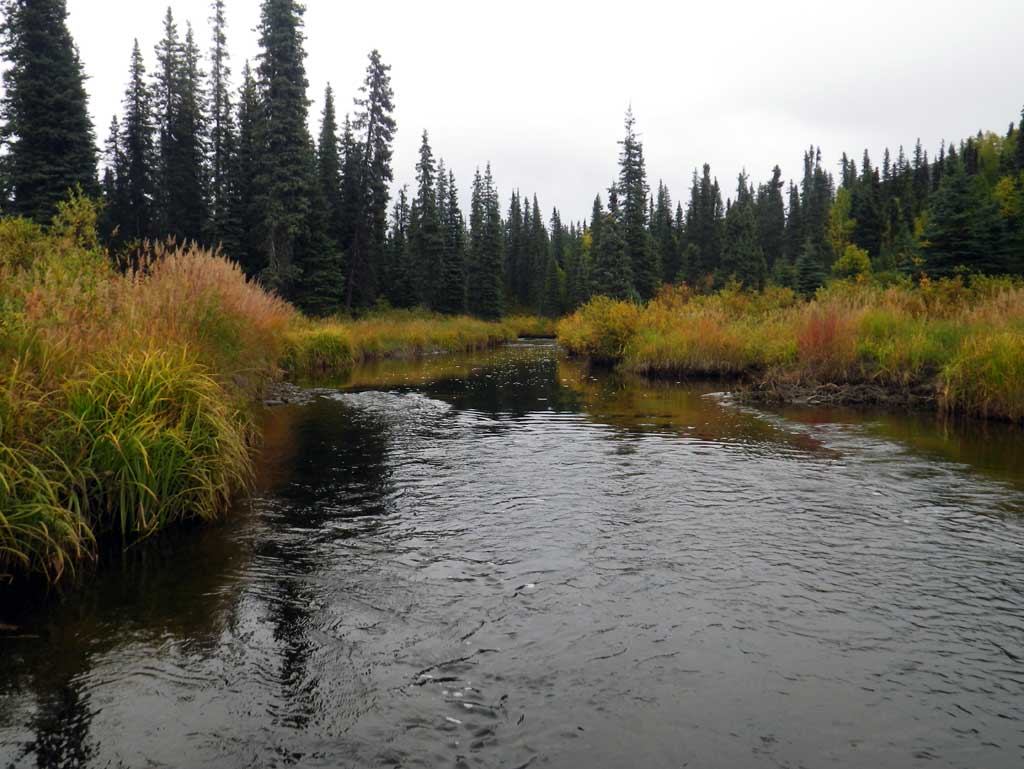
Stream Name: Pass Creek
Elevation:
Site Comments: Chulitna River watershed
arrow to the right of the survey date below to choose a different report for this site.
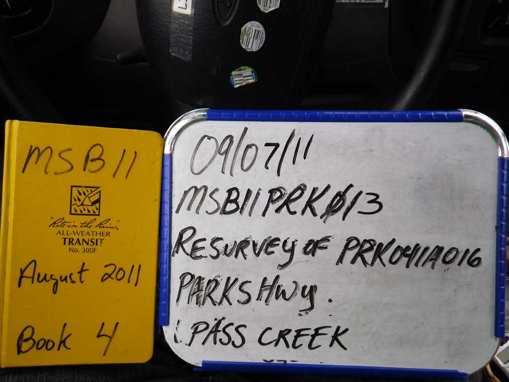
Survey MSB11-PRK13
Project Supervisor: Gillian O'Doherty, Alaska Department of Fish and Game
— Anchorage, AK
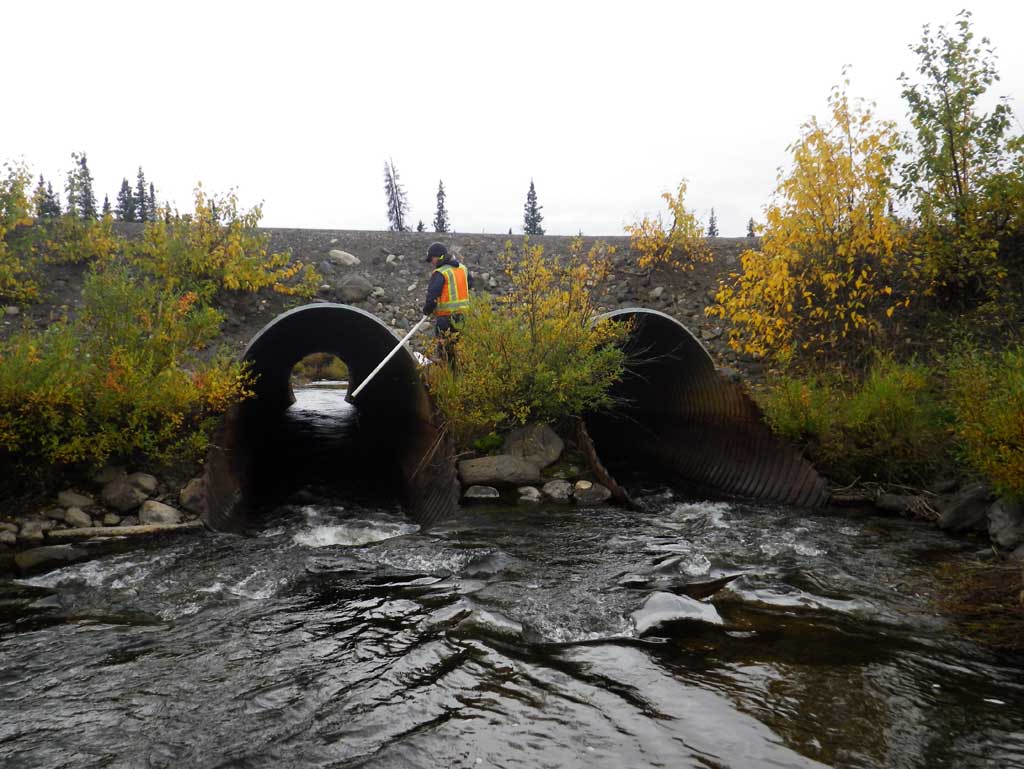
Observers: Abraham Gioffre, Jim Latham
Overall Fish Passage Rating:
Tidal: No
Backwatered: No
Step Pools: No
Construction Year:
Site Observations:
- Constriction ratio gray
- Inlet perch
- Hydraulic flows exceeded capacity
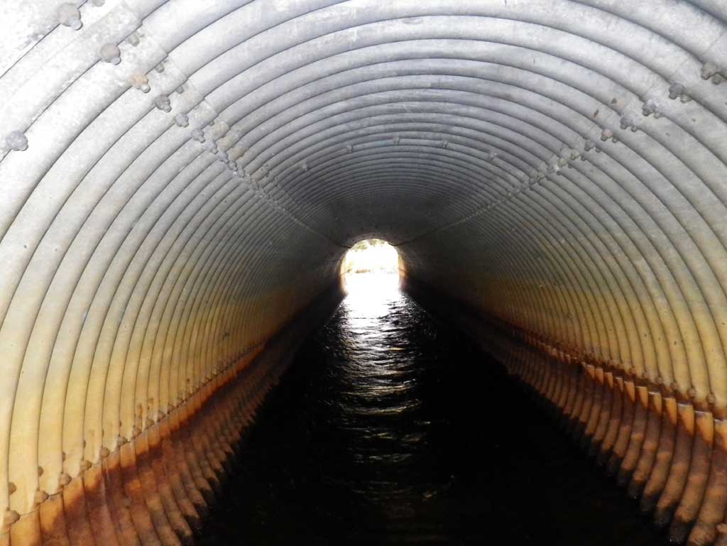
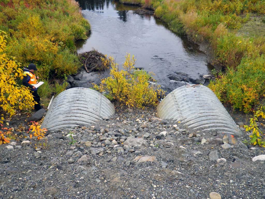
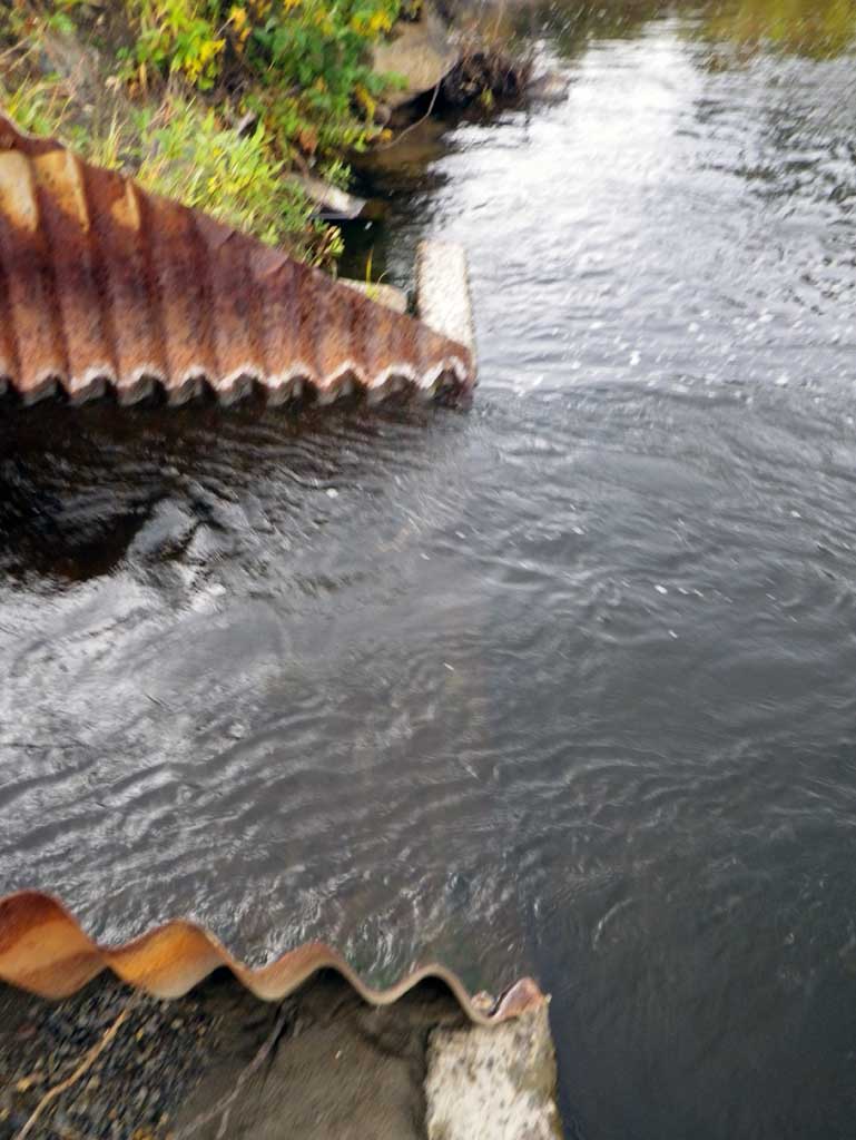
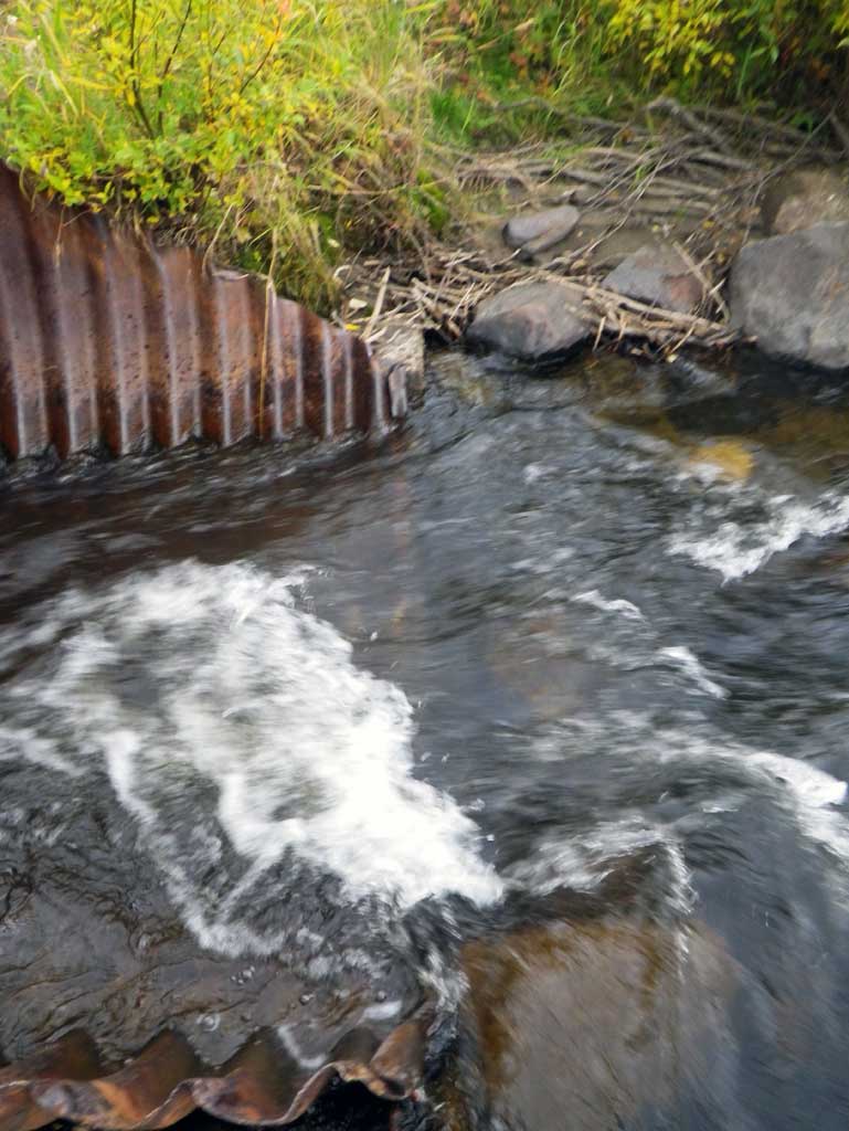
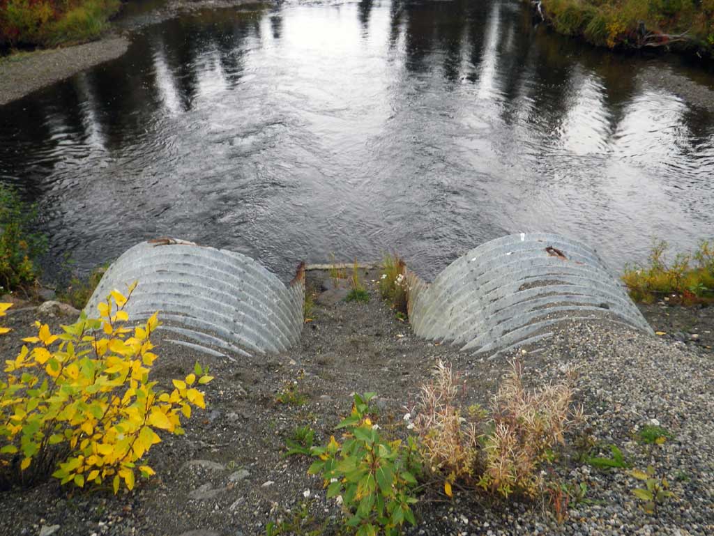
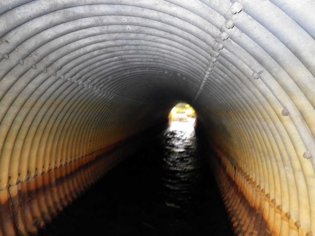
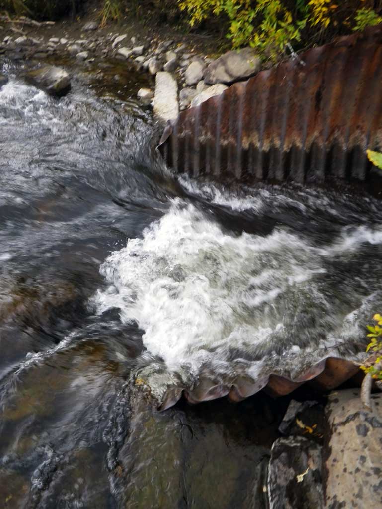
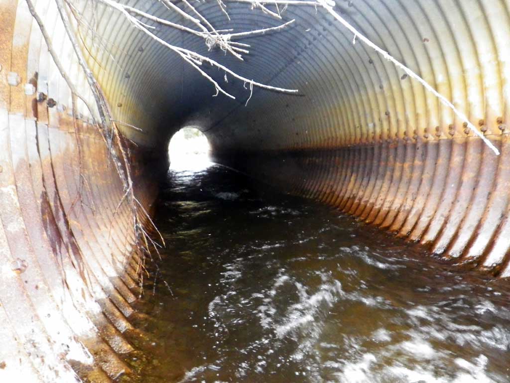
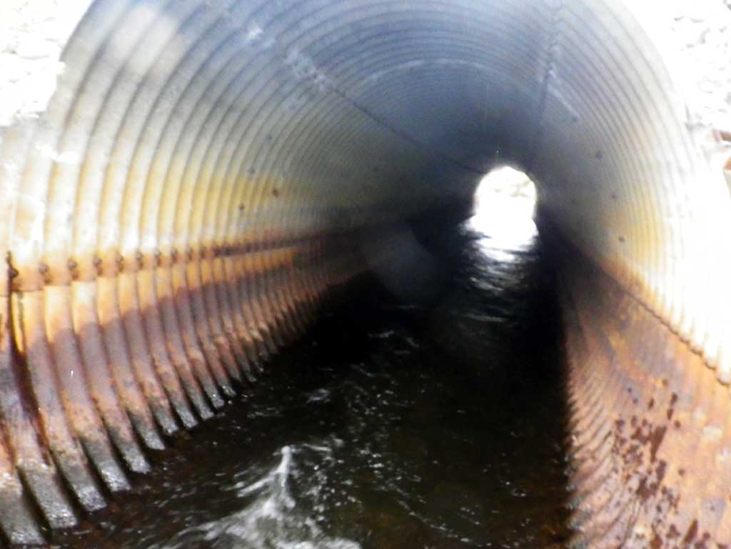
Comments: Two uniform circular pipes with concrete footers. Outlet pool is deep.
Culvert Measurements
| ID: 1 | Structure Type: Circular pipe (Structural steel plate) | Fish Passage Rating: | |||||||||||||||||||||||||||||||||||||||||
|
|
|
|||||||||||||||||||||||||||||||||||||||||
Comments: Length is total length of pipe and each miter is 8' long. |
|||||||||||||||||||||||||||||||||||||||||||
Culvert Observations:
|
|||||||||||||||||||||||||||||||||||||||||||
| ID: 2 | Structure Type: Circular pipe (Structural steel plate) | Fish Passage Rating: | |||||||||||||||||||||||||||||||||||||||||
|
|
|
|||||||||||||||||||||||||||||||||||||||||
Comments: Length is total to the end of pipe and each miter length was 8'. |
|||||||||||||||||||||||||||||||||||||||||||
Culvert Observations:
|
|||||||||||||||||||||||||||||||||||||||||||
Stream Measurements
|
|
| Stream Width Type | Distance From Crossing (ft) |
Stream Width (ft) |
|---|---|---|
| Upstream ordinary high water | 128.0 | 26.00 |
| Upstream ordinary high water | 187.0 | 21.00 |
| Upstream ordinary high water | 300.0 | 24.00 |
Elevations
| Locator ID | Culvert Number |
River Distance (ft)1 |
Distance From Crossing (ft)2 |
Relative Elevation (ft) |
|---|---|---|---|---|
| D/S Grade Ctrl (Thalweg) (GP at bottom of riffle) | 0.00 | 84.26 | ||
| D/S Water Surface Elev | 0.00 | 87.24 | ||
| D/S Tailcrest or 1st Thalweg (Tailwater control) | 36.00 | 86.84 | ||
| D/S Water Surface Elev | 36.00 | 87.87 | ||
| D/S Water Surface Elev | 1 | 114.00 | 87.88 | |
| D/S Water Surface Elev | 2 | 114.00 | 87.89 | |
| D/S Thalweg (elevation of bottom of pipe at end of miter) | 1 | 114.00 | 86.00 | |
| D/S Thalweg (elevation of bottom of pipe at end of miter) | 2 | 114.00 | 86.02 | |
| Outlet Invert (outlet invert on pipe) | 1 | 122.00 | 86.02 | |
| Outlet Invert (invert on pipe) | 2 | 122.00 | 85.97 | |
| D/S Water Surface Elev (outlet water surface) | 2 | 122.00 | 87.89 | |
| D/S Water Surface Elev (outlet water surface) | 1 | 122.00 | 87.90 | |
| Outlet Culvert Top | 2 | 122.00 | 94.60 | |
| Outlet Culvert Top | 1 | 122.00 | 94.68 | |
| Road Elev | 157.00 | 100.00 | ||
| Inlet Culvert Top | 2 | 199.00 | 95.16 | |
| Inlet Culvert Top | 1 | 199.00 | 95.22 | |
| U/S Water Surface Elev (riffle runs into pipe inlet) | 1 | 199.00 | 87.94 | |
| U/S Water Surface Elev (inlet water surface) | 2 | 199.00 | 88.00 | |
| Inlet Culvert Invert | 2 | 199.00 | 86.37 | |
| Inlet Culvert Invert (invert on pipe) | 1 | 199.00 | 86.43 | |
| U/S Thalweg (bottom of pipe at end of miter) | 2 | 207.00 | 86.62 | |
| U/S Thalweg (bottom of pipe at end of miter) | 1 | 207.00 | 86.41 | |
| U/S Water Surface Elev | 2 | 207.00 | 88.20 | |
| U/S Water Surface Elev | 1 | 207.00 | 87.80 | |
| U/S Grade Ctrl (Thalweg) (GP at base of glide) | 223.00 | 87.50 | ||
| U/S Water Surface Elev (water surface for stream grad) | 234.00 | 88.71 | ||
| U/S Water Surface Elev | 499.00 | 88.98 |
Notes:
- River distance is measured continuously throughout the survey reach along the thalweg of the stream.
- Measured from each end of the crossing along the thalweg of the stream.
Fish Sampling Efforts
No fish sampling occurred during this survey.
Fish Observations
No fish observations occurred during this survey.
Photos
Questions or comments about this report can be directed to dfg.dsf.webmaster@alaska.gov