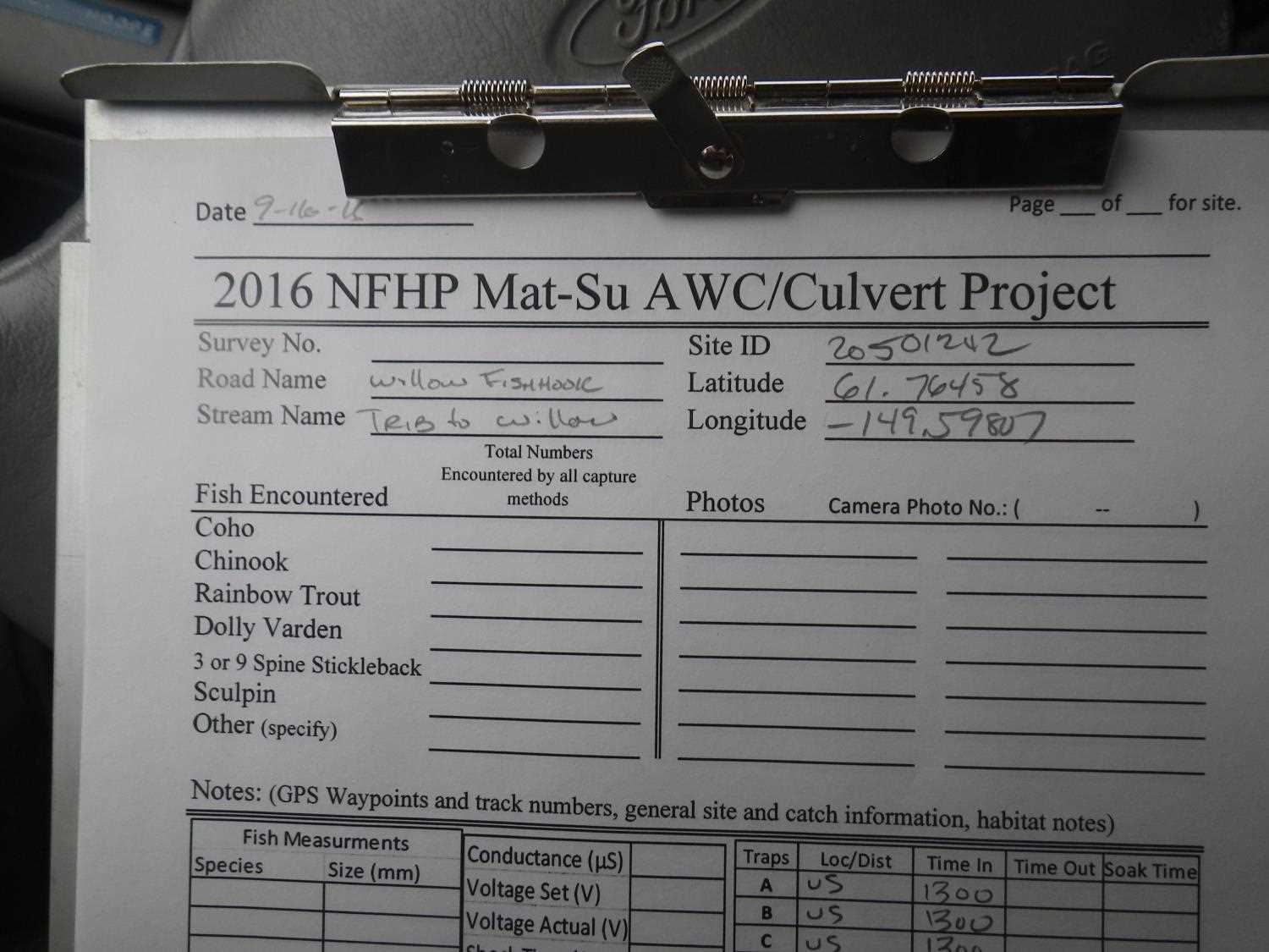
Fish Passage Site 20501242
Coordinates (dec. deg.): 61.76444°, -149.59810°
Legal Description: S019N002W02
Region: South Central
Road Name: Willow Fishhook Road
Datum: WGS84
Quad Name / ITM: Anchorage D-7
AWC Stream #:
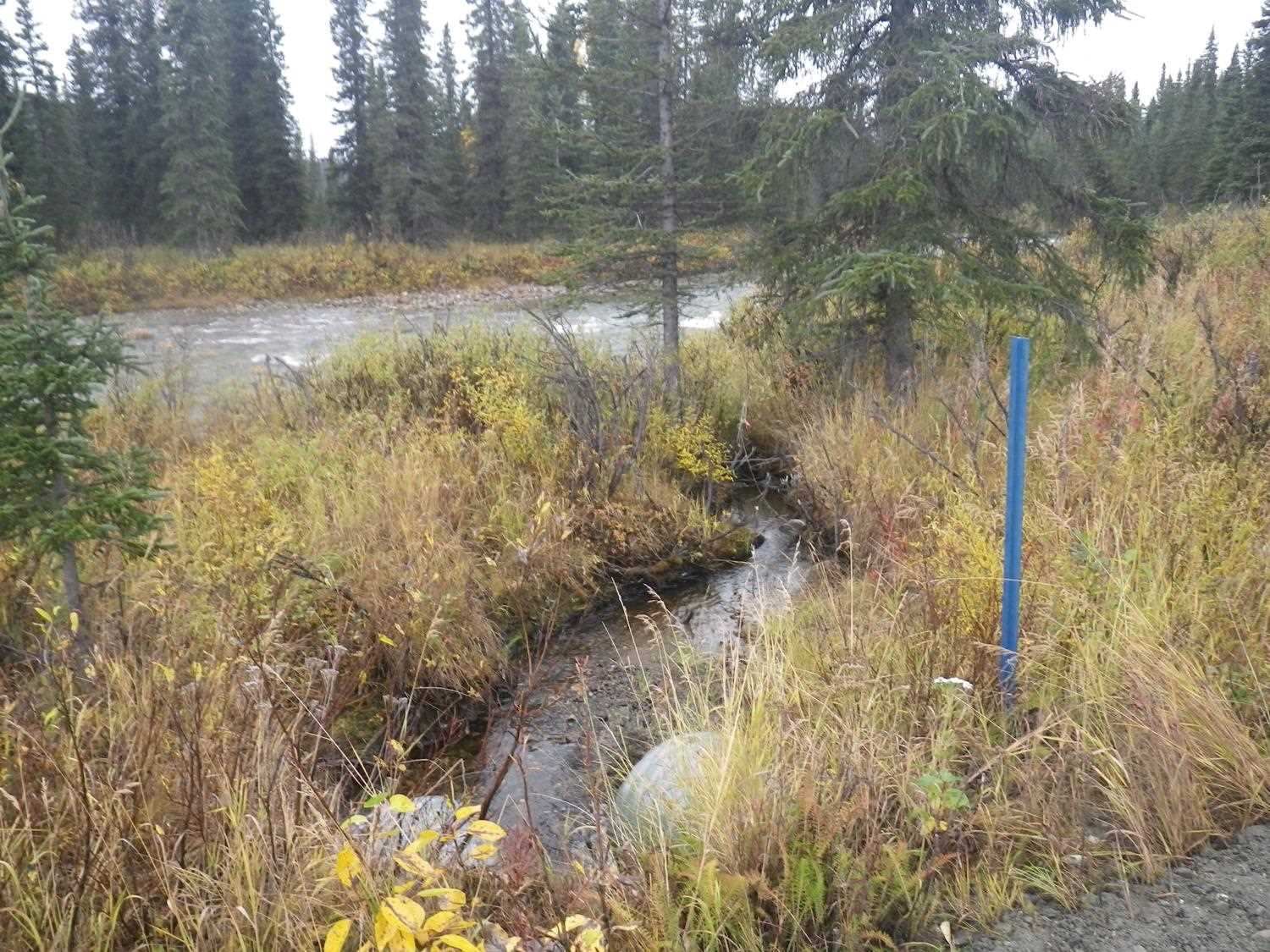
Stream Name: Willow Creek tributary
Elevation:
Site Comments: None
arrow to the right of the survey date below to choose a different report for this site.
Survey UPDATE-1242
Project Supervisor: Gillian O'Doherty, ADFG
Observers: Mark Eisenman
Overall Fish Passage Rating:
Tidal: No
Backwatered: No
Step Pools: No
Construction Year:
Site Observations:
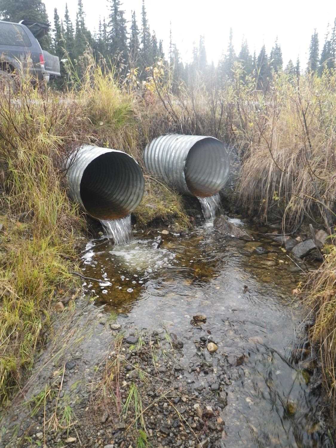
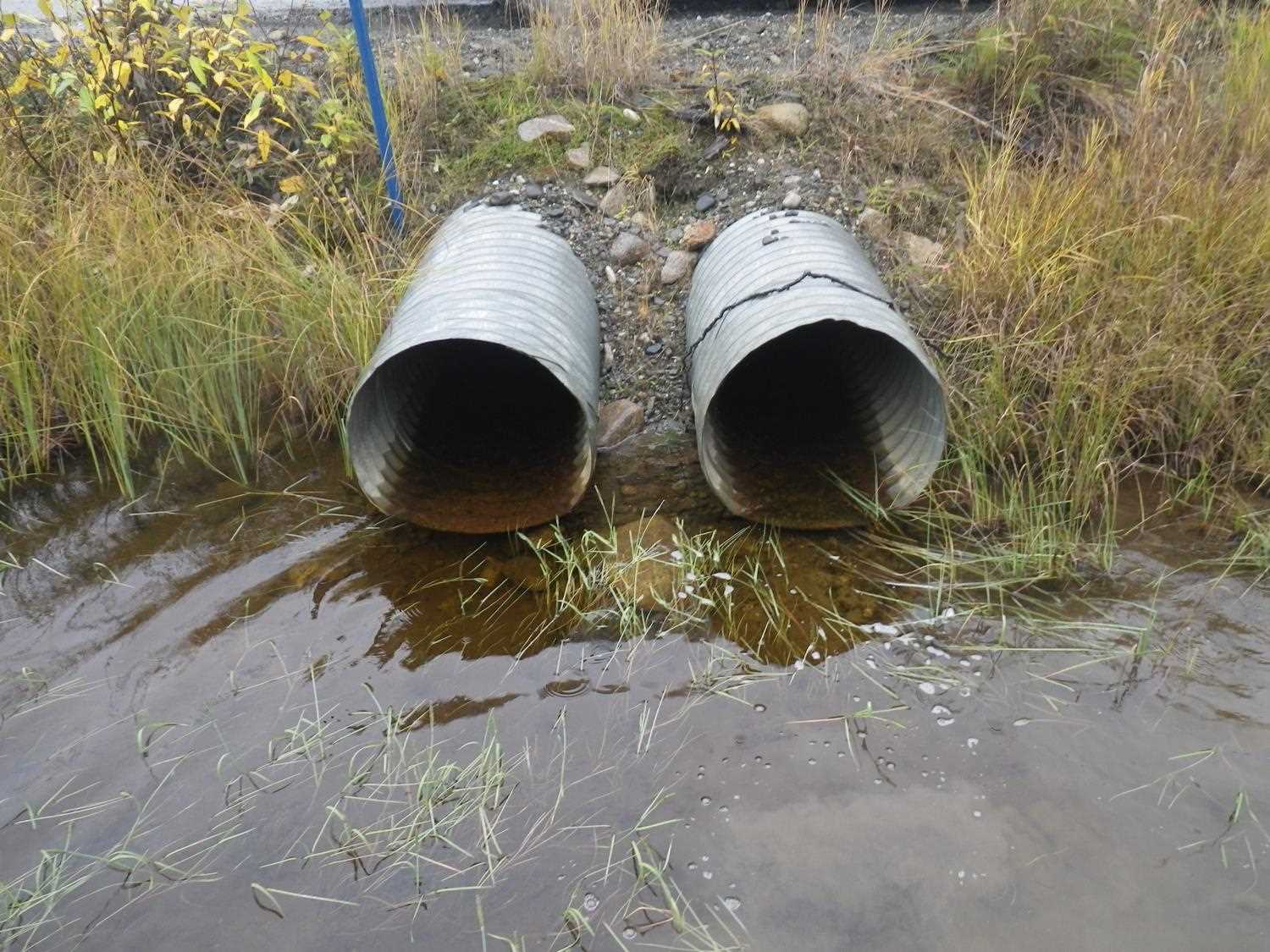
- Outfall height red
Comments: Site visited on 9/16/16 in conjunction with the Sampling Unmapped Streams in the MSB project. Sampling information is in AFFI. Upon inspection it was noticed the crossing had been replaced since the 2009 assessment. Both culvert have a Red outfall. Site marked for full reassessment.
Culvert Measurements
| ID: 1 | Structure Type: Circular pipe (Corrugated steel) | Fish Passage Rating: | |||||||||||||||||||||||||||||||||||||||||
|
|
|
|||||||||||||||||||||||||||||||||||||||||
Comments: Outfall greater than 4 inches. |
|||||||||||||||||||||||||||||||||||||||||||
Culvert Observations:
|
|||||||||||||||||||||||||||||||||||||||||||
| ID: 2 | Structure Type: Circular pipe (Corrugated steel) | Fish Passage Rating: | |||||||||||||||||||||||||||||||||||||||||
|
|
|
|||||||||||||||||||||||||||||||||||||||||
Comments: Outfall greater than 4 inches |
|||||||||||||||||||||||||||||||||||||||||||
Stream Measurements
|
|
No stream width data available.
Elevations
No elevation data available.
Fish Sampling Efforts
No fish sampling occurred during this survey.
Fish Observations
No fish observations occurred during this survey.
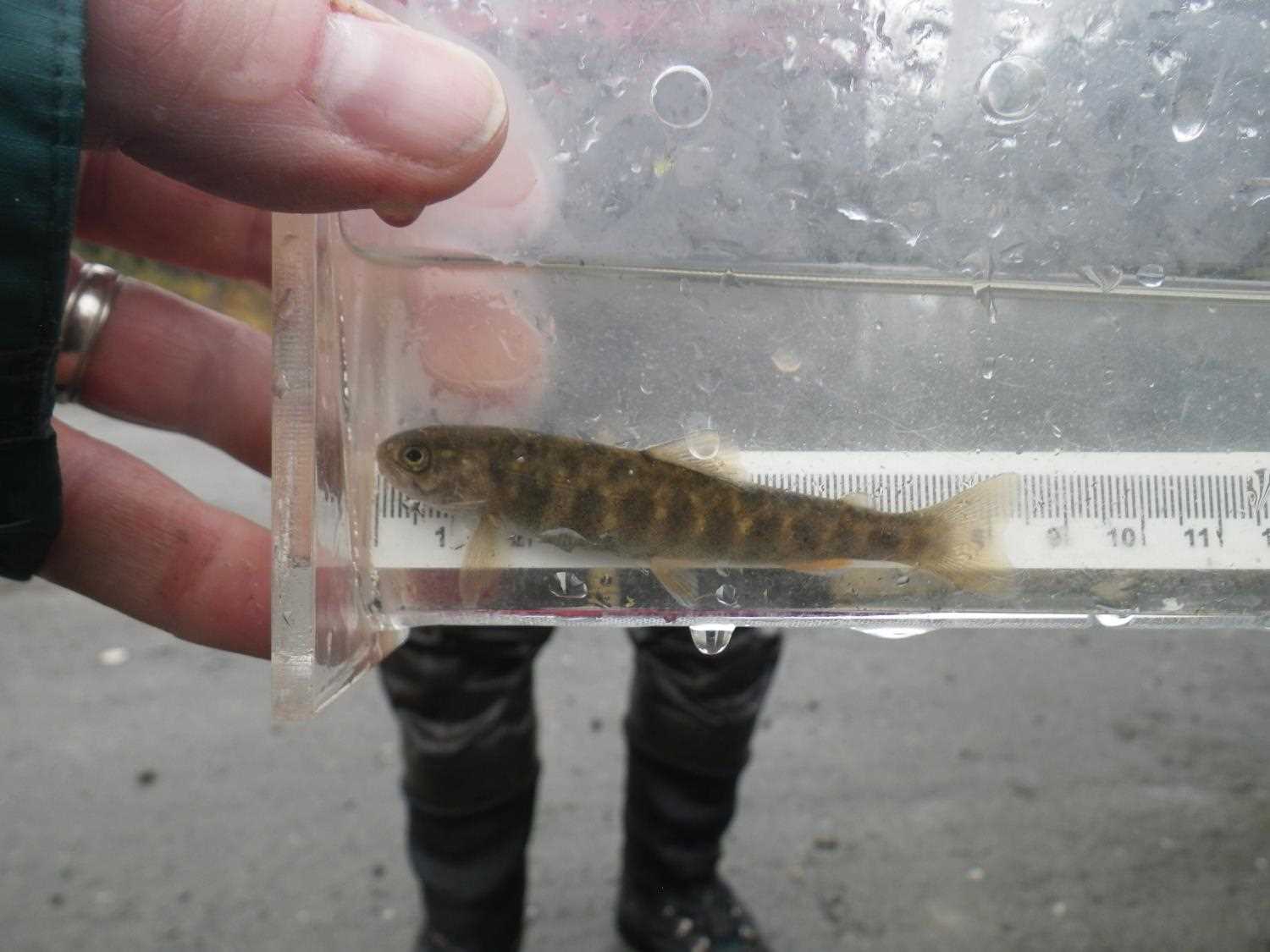
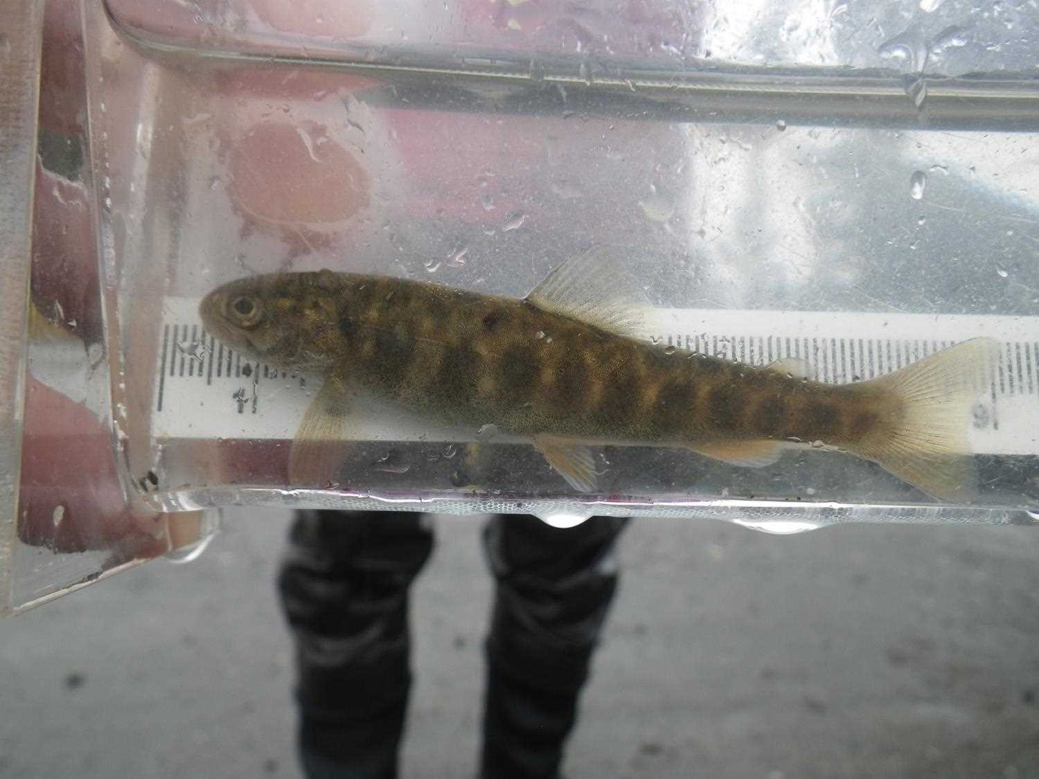
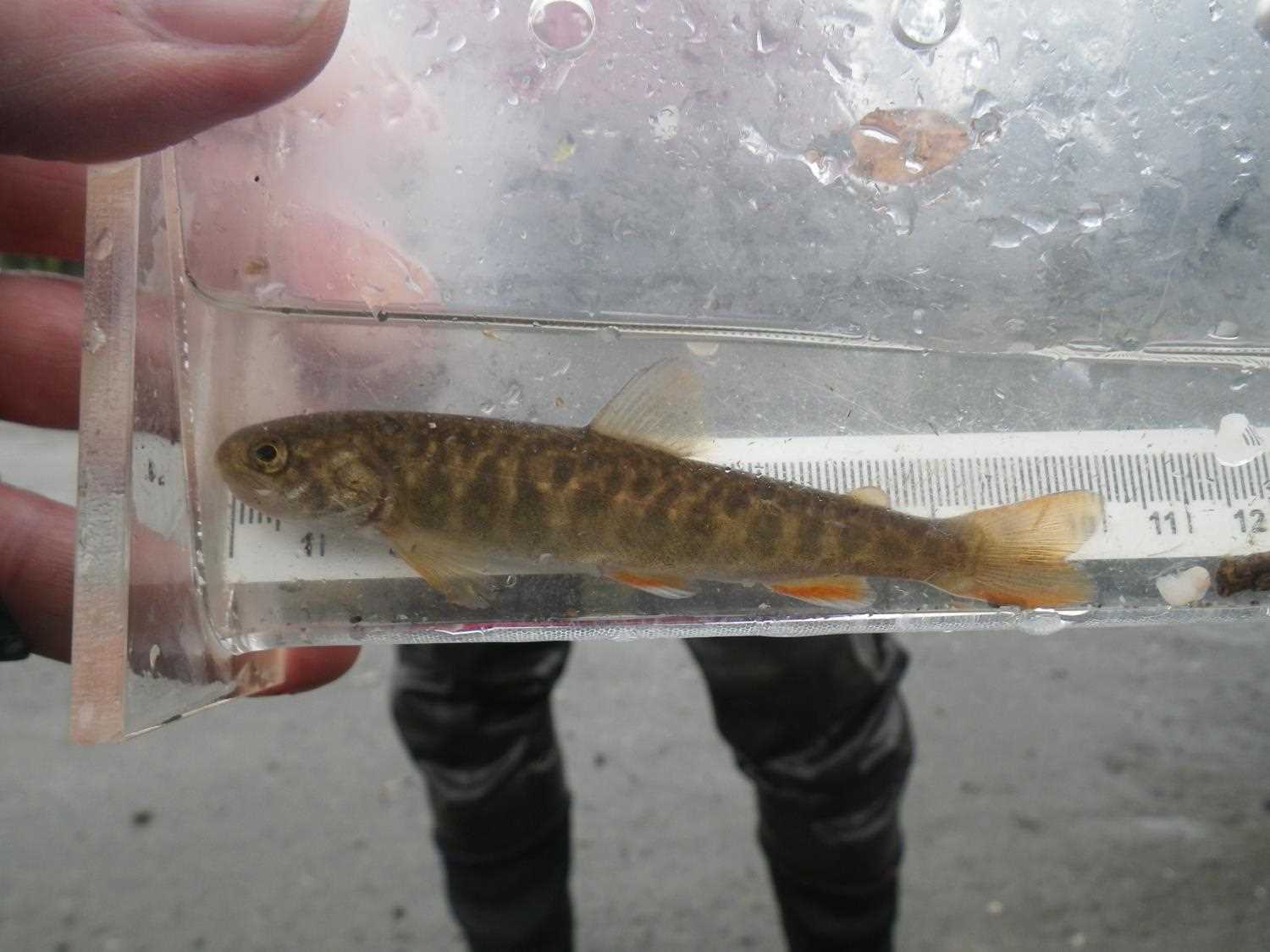
Photos


Questions or comments about this report can be directed to dfg.dsf.webmaster@alaska.gov