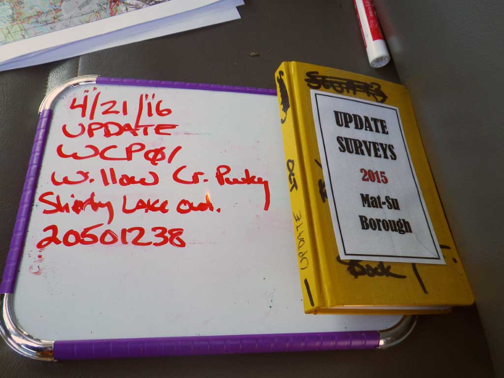
Fish Passage Site 20501238
Coordinates (dec. deg.): 61.75817°, -150.10738°
Legal Description: S019N005W12
Region: South Central
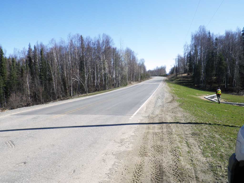
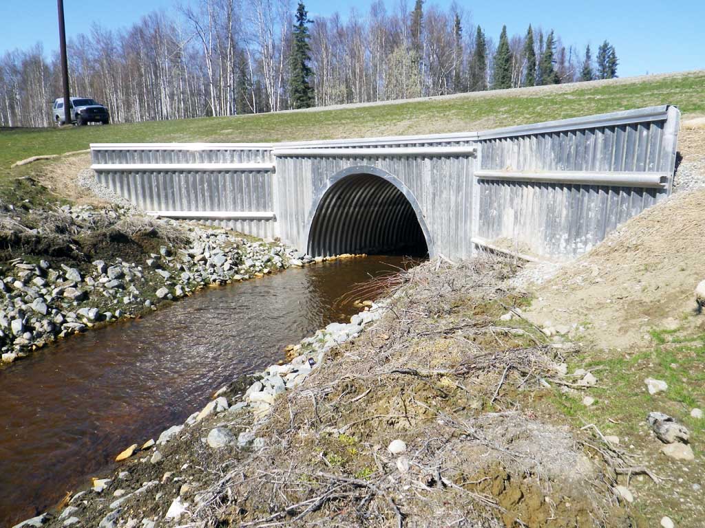
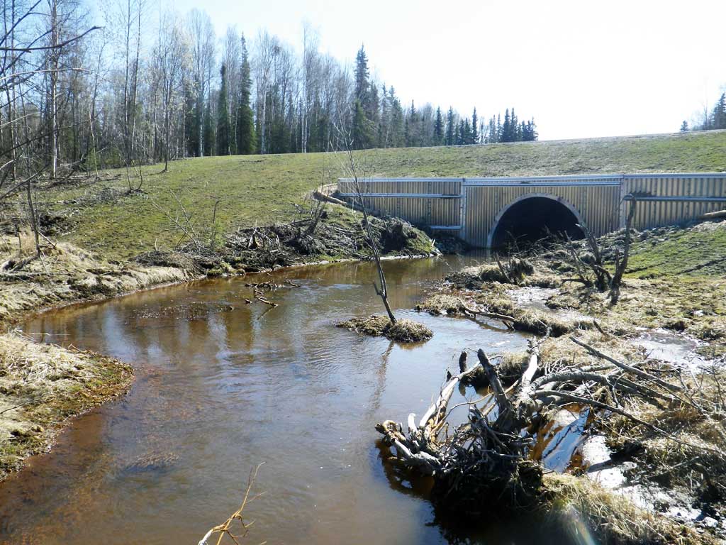
Road Name: Willow Creek Parkway
Datum: WGS84
Quad Name / ITM: Tyonek D-1
AWC Stream #: 247-41-10200-2120-3010
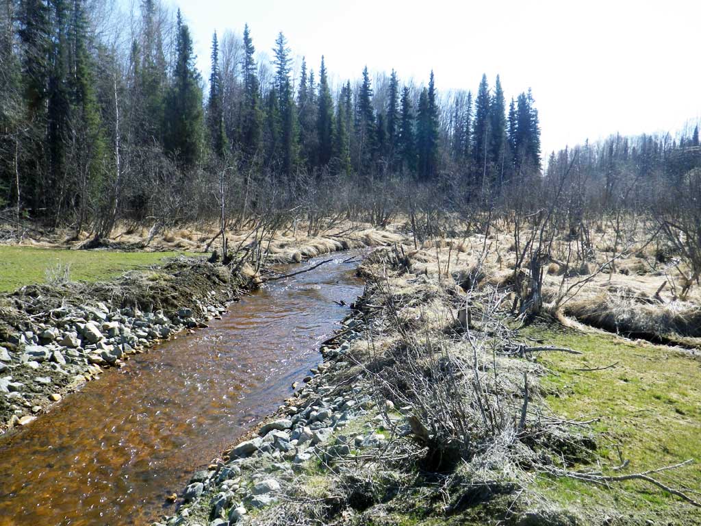
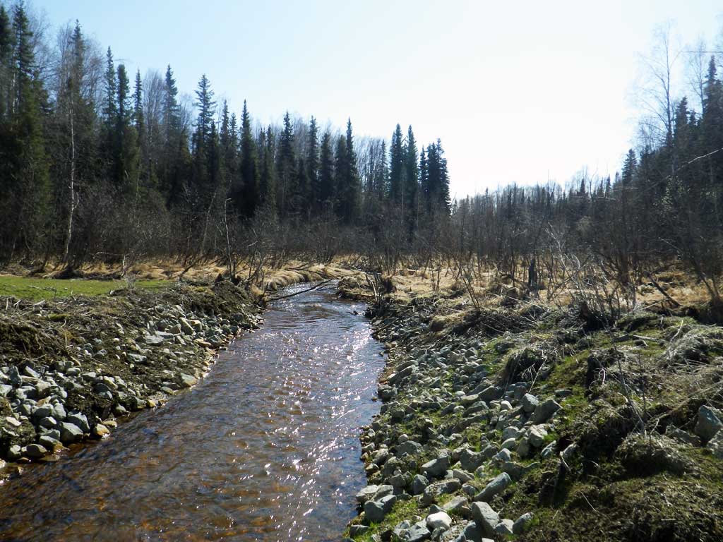
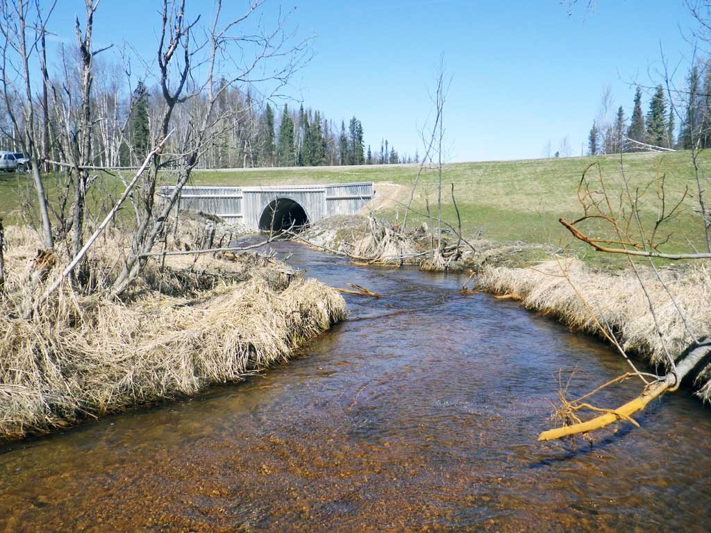
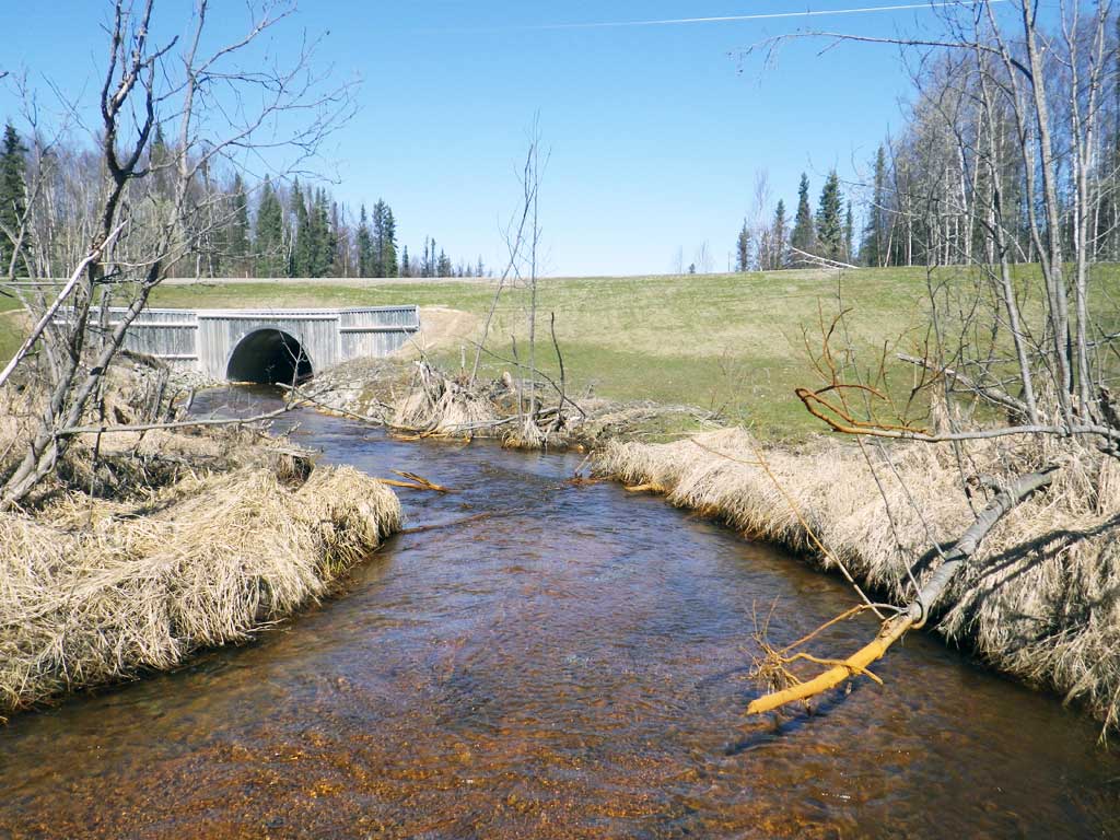
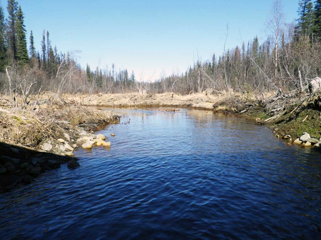
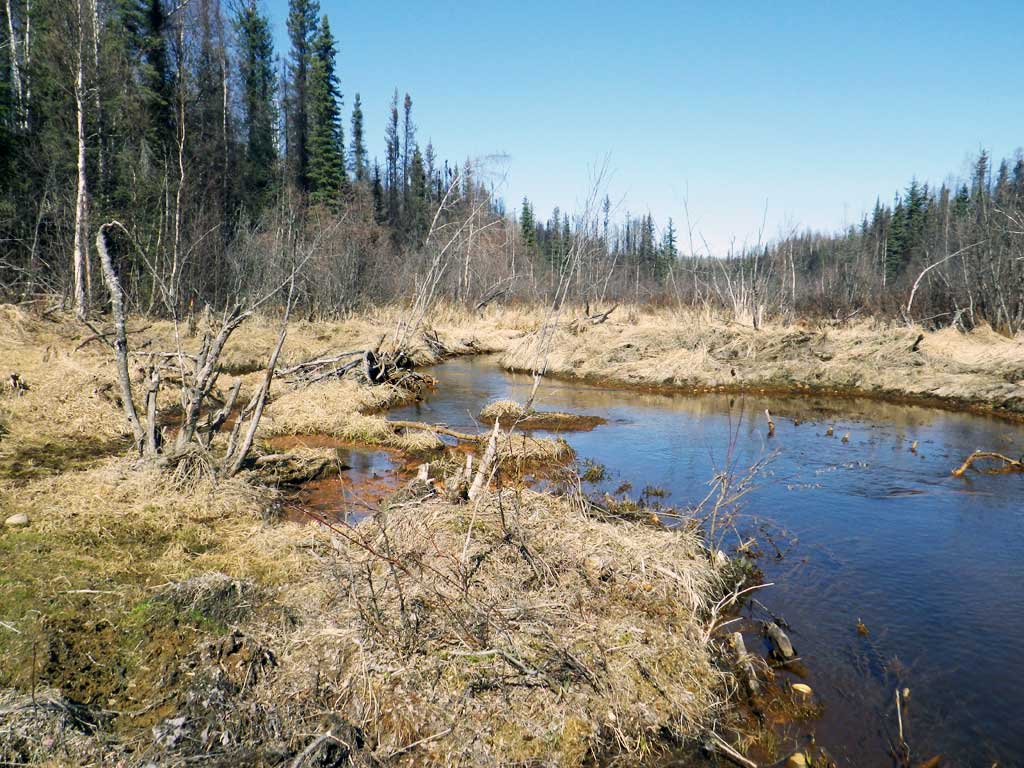
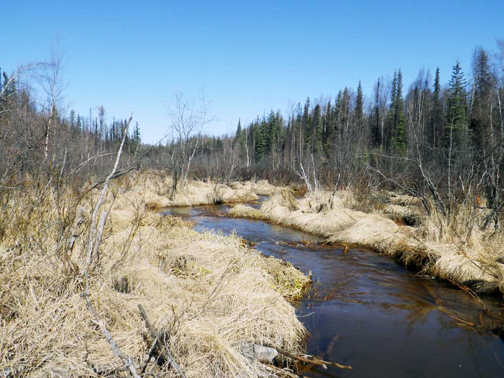
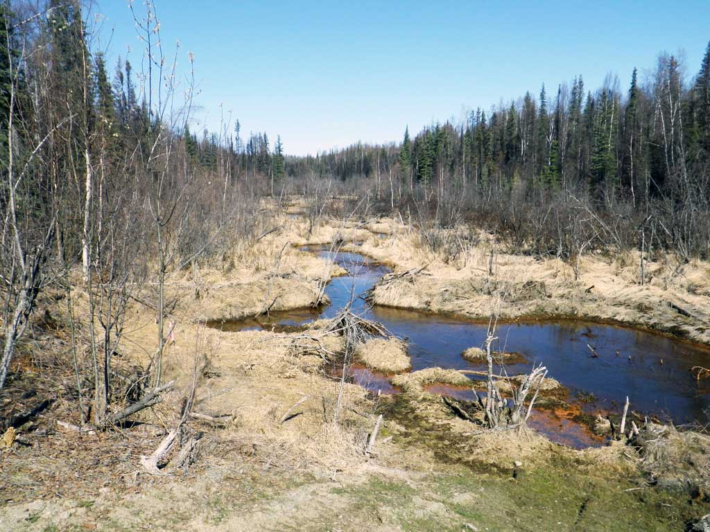
Stream Name: Shirley Lake outlet
Elevation:
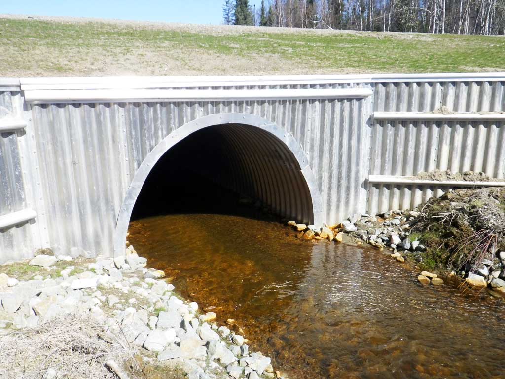
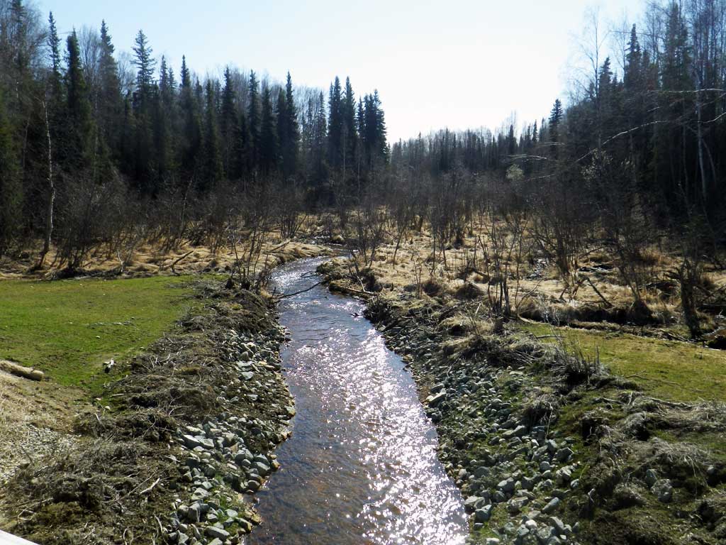
Site Comments: Creek drains Shirley Lake into Willow Creek
arrow to the right of the survey date below to choose a different report for this site.
Survey UPDATE-WCP01
Project Supervisor: Gillian O'Doherty, ADFG
Observers: Mark Eisenman, Robert Pype
Overall Fish Passage Rating:
Tidal: No
Backwatered: Maybe
Step Pools: No
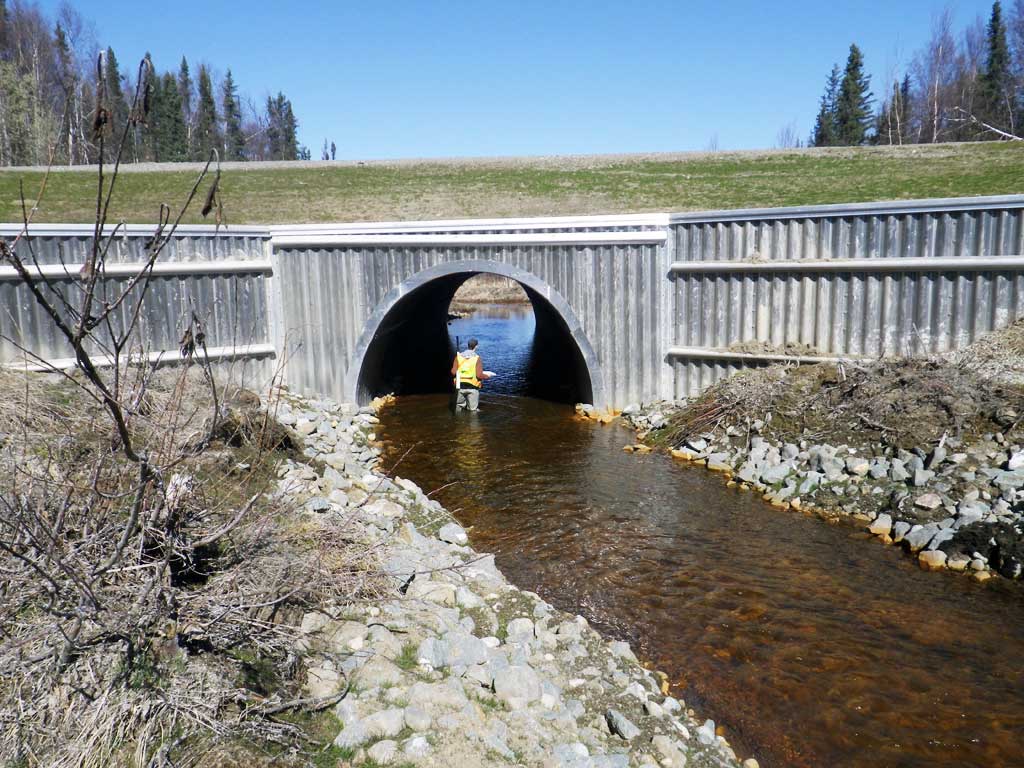
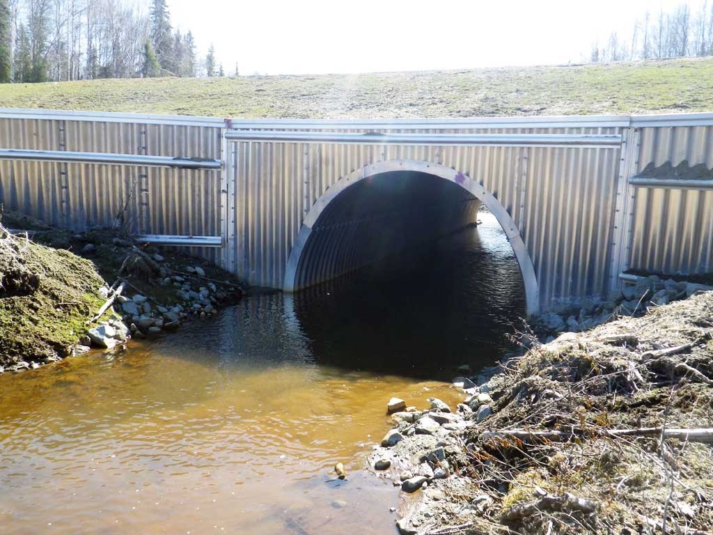
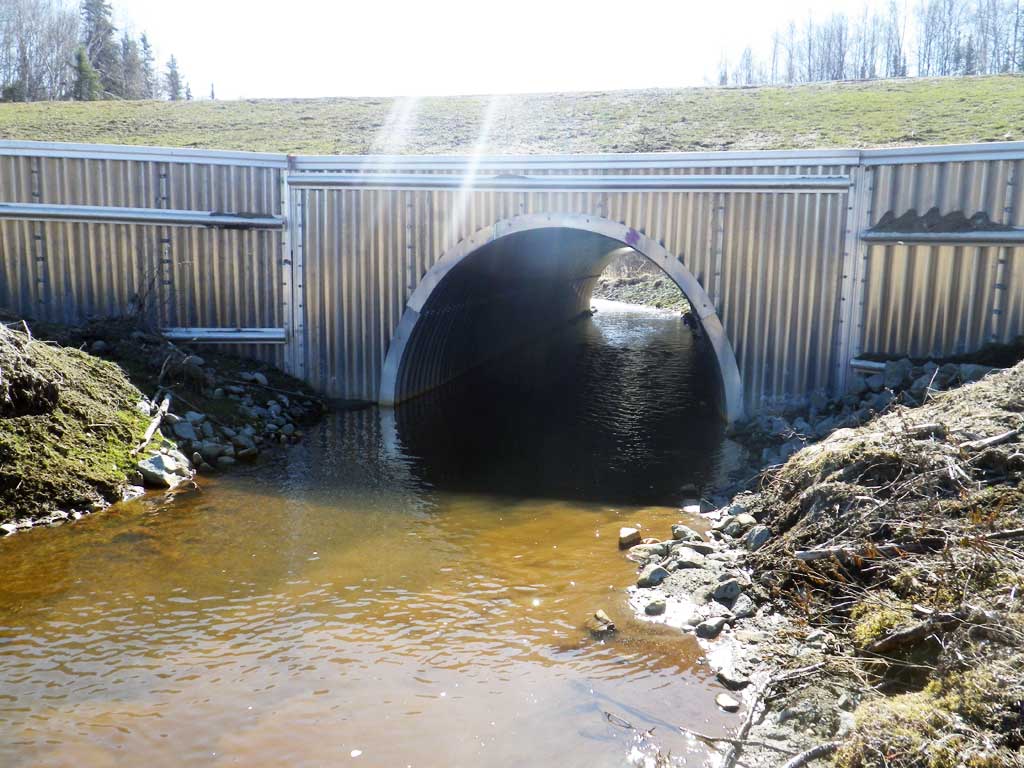
Construction Year: 2015
Site Observations:
- None of this type
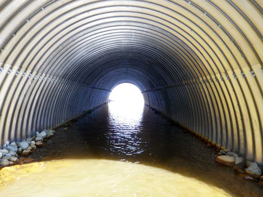
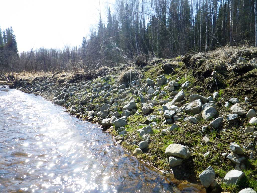
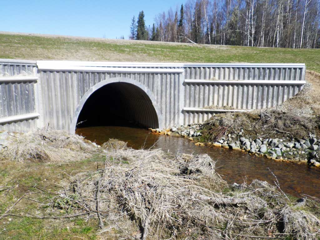
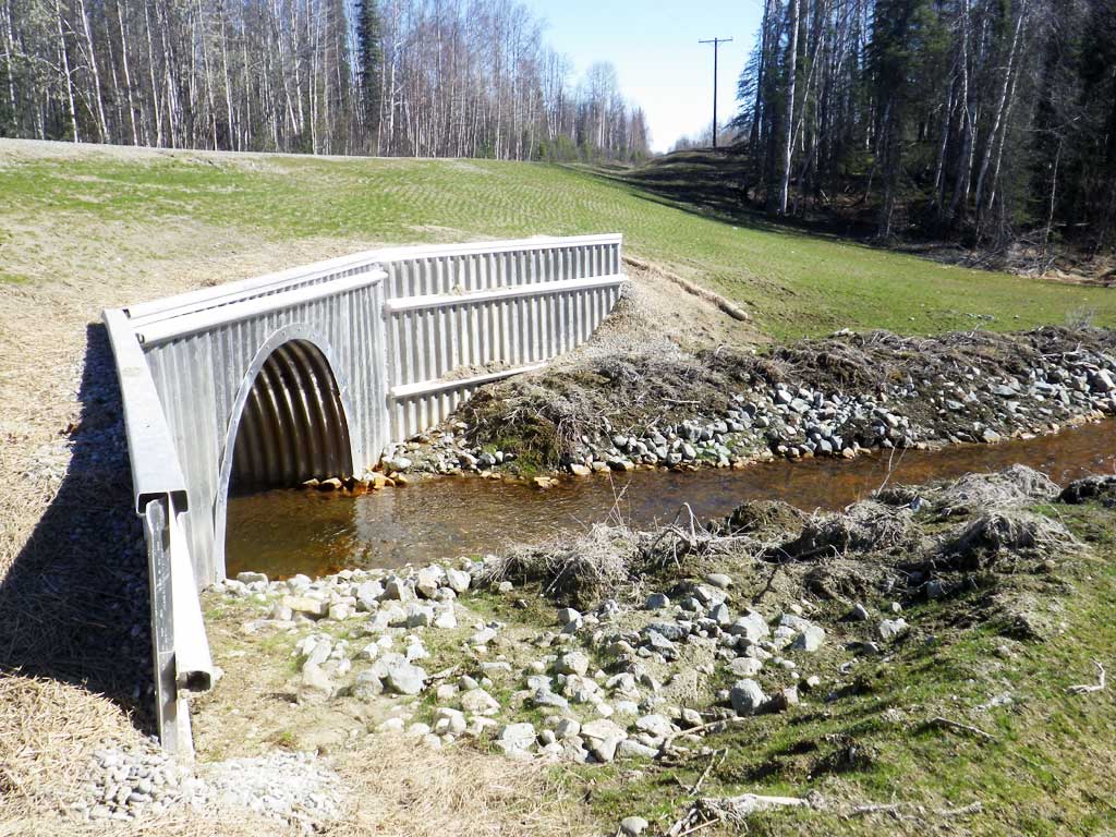
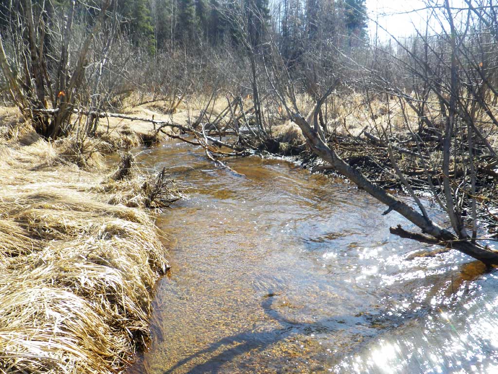
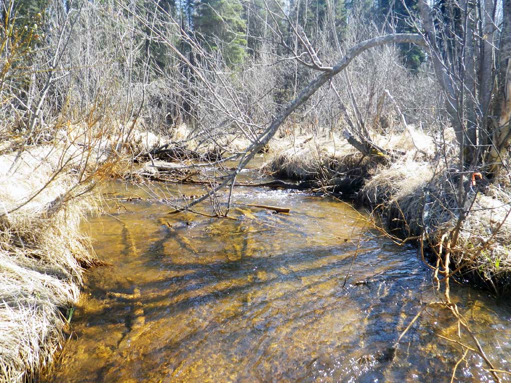
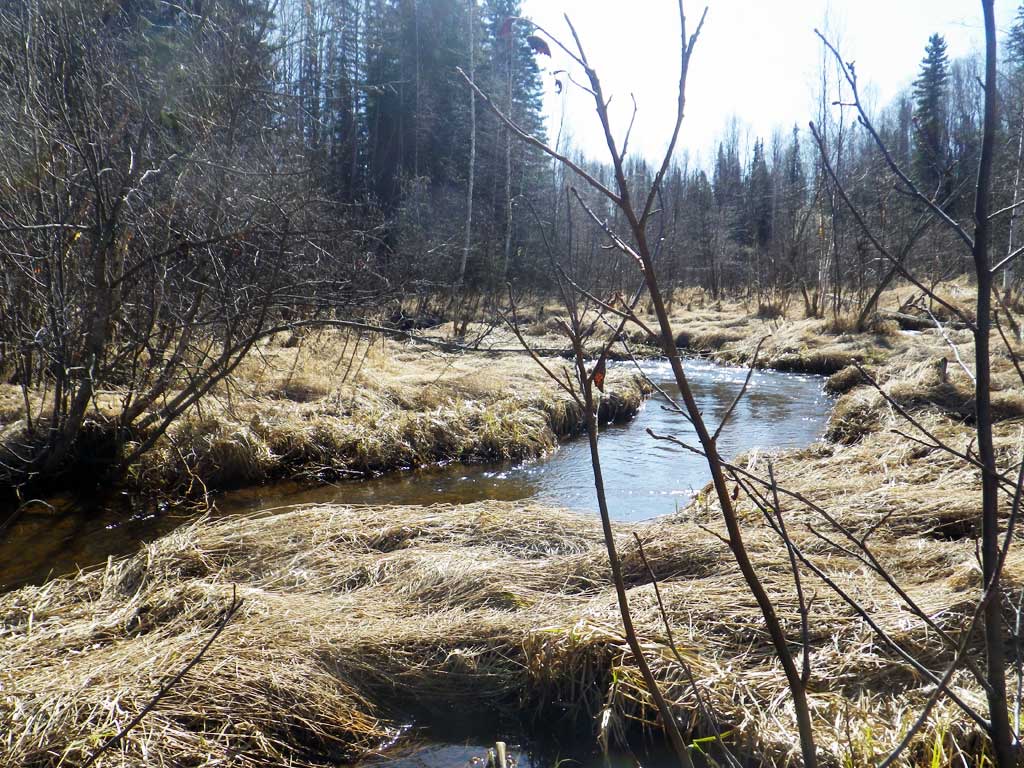
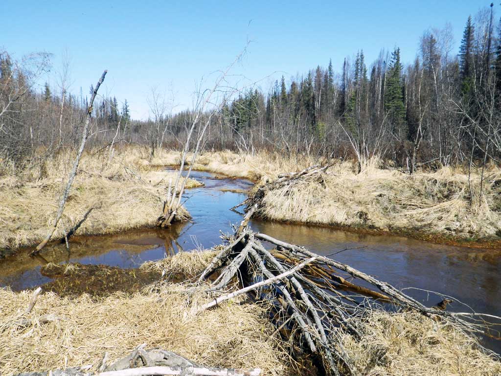
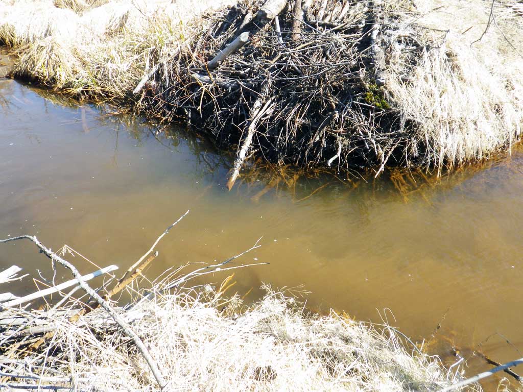
Comments: Replaced in 2015 with a fish friendly culvert. Culvert resurveyed April 21st, 2016. Lots of fines in culvert, Lots of settling in barrel and downstream. Old beaver dam downstream. Water Ferric. No fish caught, but juveniles observed downstream near old beaver dam.
Culvert Measurements
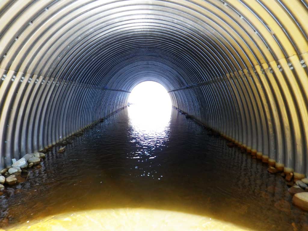
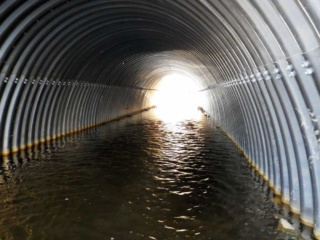
| ID: 1 | Structure Type: Box culvert (Structural aluminum plate) | Fish Passage Rating: | |||||||||||||||||||||||||||||||||||||||||
|
|
|
|||||||||||||||||||||||||||||||||||||||||
Comments: Culvert set within 1% of stream gradient. Inlet and outlet water surfaces very close. |
|||||||||||||||||||||||||||||||||||||||||||
Culvert Observations:
|
|||||||||||||||||||||||||||||||||||||||||||
Stream Measurements
|
|
| Stream Width Type | Distance From Crossing (ft) |
Stream Width (ft) |
|---|---|---|
| Upstream ordinary high water | 50.0 | 15.40 |
| Upstream ordinary high water | 100.0 | 10.60 |
| Upstream ordinary high water | 150.0 | 10.70 |
| Upstream ordinary high water | 250.0 | 4.50 |
Elevations
| Locator ID | Culvert Number |
River Distance (ft)1 |
Distance From Crossing (ft)2 |
Relative Elevation (ft) |
|---|---|---|---|---|
| Outlet Culvert Top (These measurements are not connected to the benchmark and were used to establish pipe gradient.) | 4.04 | |||
| Inlet Culvert Top | 4.88 | |||
| Road Elev | 107.76 | |||
| D/S Thalweg (Head of gravel bar) | 0.00 | 89.00 | ||
| D/S Water Surface Elev | 0.00 | 89.82 | ||
| D/S Tailcrest or 1st Thalweg | 41.00 | 89.33 | ||
| D/S Water Surface Elev | 41.00 | 90.23 | ||
| D/S Water Surface Elev | 91.00 | 90.34 | ||
| D/S Thalweg (Middle of outlet glide) | 91.00 | 88.52 | ||
| Outlet Invert (On substrate) | 141.00 | 88.73 | ||
| D/S Water Surface Elev | 141.00 | 90.46 | ||
| U/S Water Surface Elev | 219.30 | 90.48 | ||
| Inlet Culvert Invert (On substrate, 1st resting) | 219.30 | 88.91 | ||
| U/S Thalweg (Middle of constructed inlet riffle) | 233.30 | 89.62 | ||
| U/S Water Surface Elev | 233.30 | 90.44 | ||
| U/S Water Surface Elev | 299.30 | 90.66 | ||
| U/S Grade Ctrl (Thalweg) (End of constructed inlet riffle) | 299.30 | 89.92 | ||
| U/S Grade Ctrl (Thalweg) | 351.30 | 90.66 | ||
| U/S Water Surface Elev (Stream gradient start) | 351.30 | 90.96 | ||
| U/S Water Surface Elev (Stream gradient end) | 443.30 | 91.37 | ||
| U/S Grade Ctrl (Thalweg) | 443.30 | 90.75 |
Notes:
- River distance is measured continuously throughout the survey reach along the thalweg of the stream.
- Measured from each end of the crossing along the thalweg of the stream.
Fish Sampling Efforts
| Gear Type: Minnow Trap (A) | Trap Duration(h): 1.9 | |
| Comments: Trap set about 60 feet upstream of culvert. | ||
Fish Observations
No fish observations occurred during this survey.
Photos


Questions or comments about this report can be directed to dfg.dsf.webmaster@alaska.gov