Fish Passage Site 20501192
Coordinates (dec. deg.): 61.47303°, -149.95930°
Legal Description: S016N004W15
Region: South Central
Road Name: Bryant Road
Datum: NAD83
Quad Name / ITM: Anchorage B-8
AWC Stream #:
Stream Name: Connects two Lakes
Elevation:
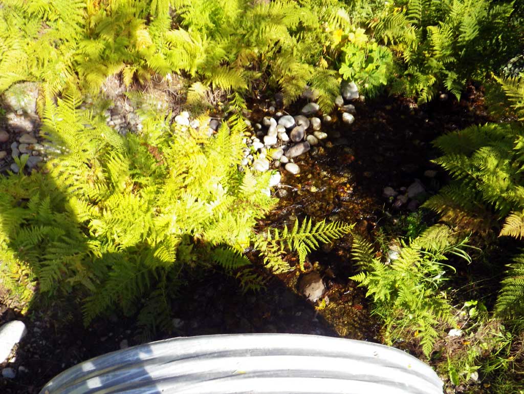
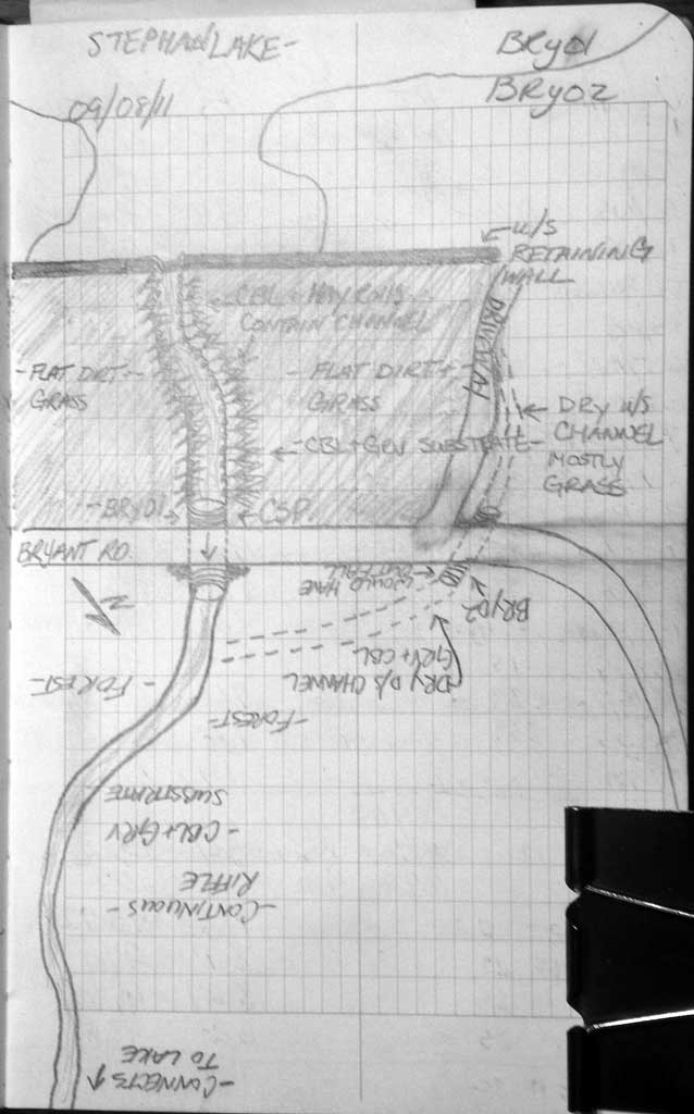
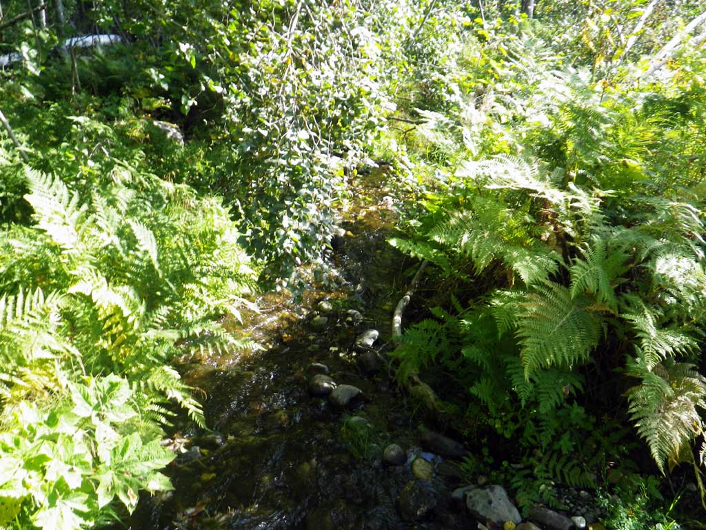
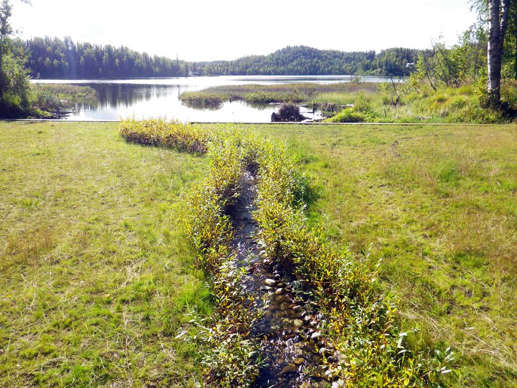
Site Comments: Site next to MSCS1RS016 also on Bryant Road. Old survey information stated this culvert was on Lancaster Road which according to a nearby resident does not exist (2011). The road has always been labeled as Bryant. The culvert connects Stephan Lake which is upstream and an unknown lake approximately 300' dwst.
arrow to the right of the survey date below to choose a different report for this site.
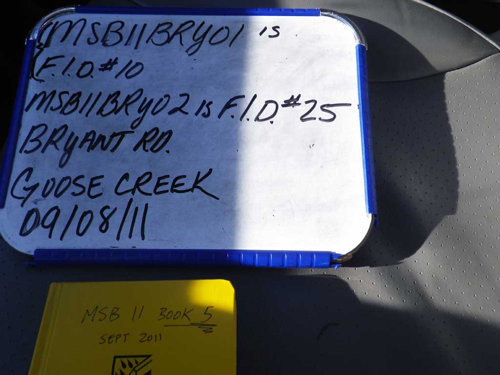
Survey MSB11-BRY01
Project Supervisor: Gillian O'Doherty, Alaska Department of Fish and Game
— Anchorage, AK
Observers: Abraham Gioffre, Jim Latham
Overall Fish Passage Rating:
Tidal: No
Backwatered: No
Step Pools: No
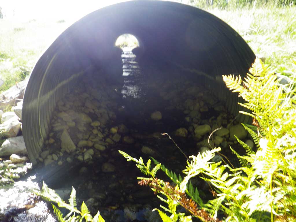
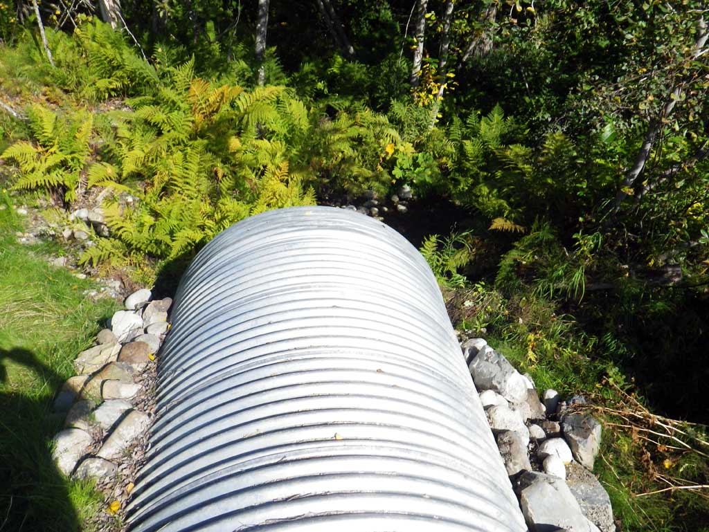
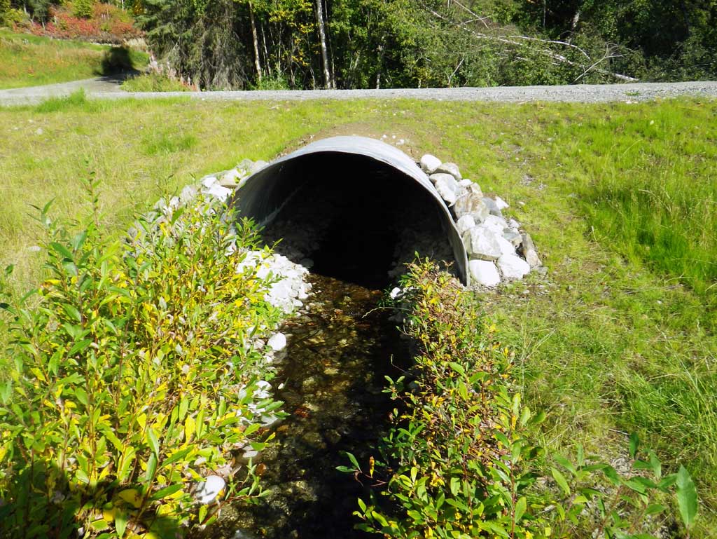
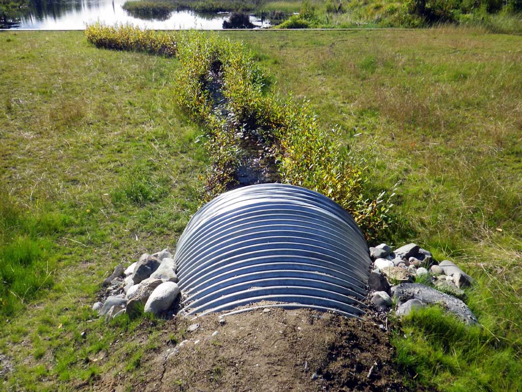
Construction Year: 2010
Site Observations:
- None of this type
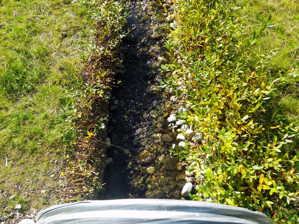
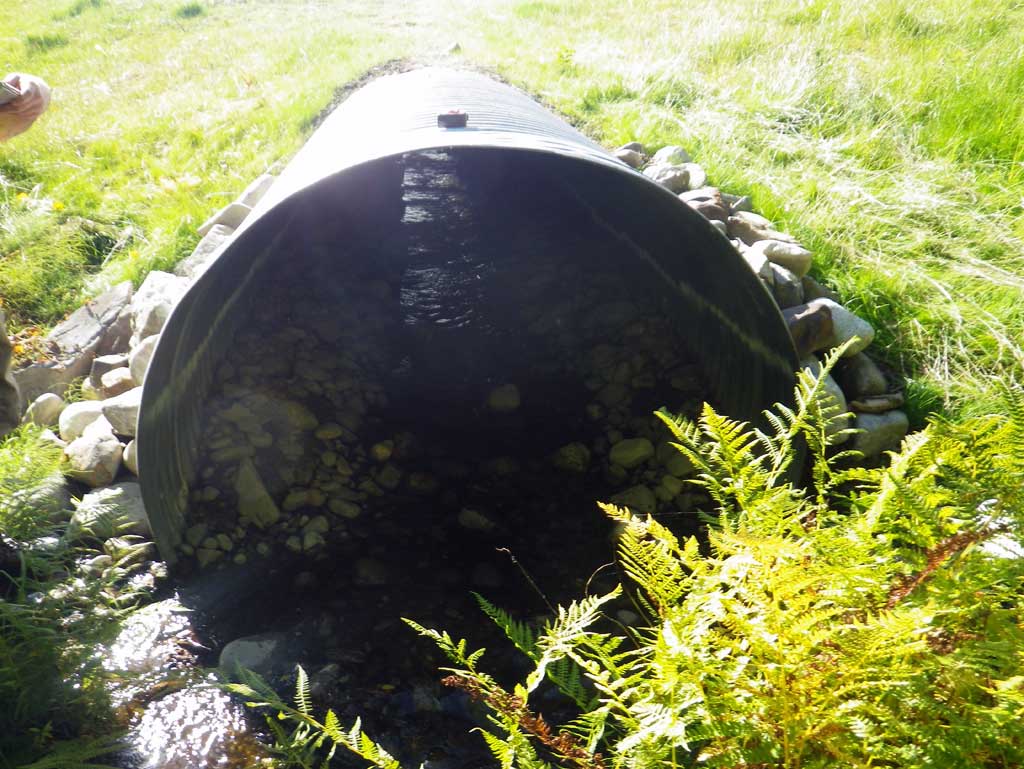
Comments: Survey of a replacement culvert installed in 2010. Old survey information stated this culvert was on Lancaster Road which according to a nearby resident does not exist. The road has always been labeled as Bryant. The culvert connects Stephan Lake which is upstream and an unknown lake approximately 300' dwst.
Culvert Measurements
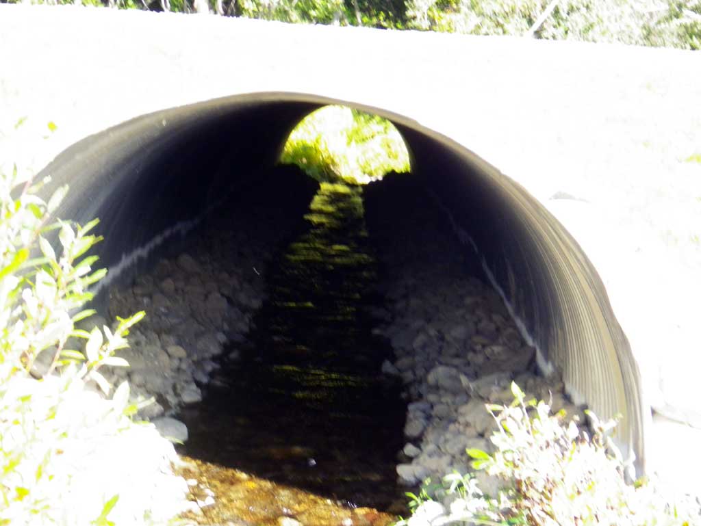
| ID: 1 | Structure Type: Circular pipe (Corrugated steel) | Fish Passage Rating: | ||||||||||||||||||||||||||||||||||||||||||
|
|
|
||||||||||||||||||||||||||||||||||||||||||
Culvert Observations:
|
||||||||||||||||||||||||||||||||||||||||||||
Stream Measurements
|
|
| Stream Width Type | Distance From Crossing (ft) |
Stream Width (ft) |
|---|---|---|
| Downstream ordinary high water | 64.0 | 5.60 |
| Downstream ordinary high water | 93.0 | 4.80 |
| Downstream ordinary high water | 118.0 | 5.90 |
Elevations
| Locator ID | Culvert Number |
River Distance (ft)1 |
Distance From Crossing (ft)2 |
Relative Elevation (ft) |
|---|---|---|---|---|
| D/S Water Surface Elev (water surface for gradient) | 0.00 | 90.48 | ||
| D/S Water Surface Elev (water surface for gradient) | 75.00 | 92.06 | ||
| D/S Thalweg (profile pt) | 89.00 | 92.71 | ||
| D/S Water Surface Elev | 89.00 | 92.92 | ||
| Outlet Invert (invert on substrate) | 110.00 | 94.01 | ||
| D/S Water Surface Elev (outlet water surface) | 110.00 | 94.18 | ||
| Outlet Culvert Top | 110.00 | 98.10 | ||
| Road Elev | 140.00 | 100.85 | ||
| Inlet Culvert Top | 175.40 | 100.06 | ||
| U/S Water Surface Elev (inlet water surface) | 175.40 | 96.07 | ||
| Inlet Culvert Invert (invert on substrate) | 175.40 | 95.81 | ||
| U/S Thalweg (profile pt) | 187.40 | 95.91 | ||
| U/S Water Surface Elev | 187.40 | 96.33 | ||
| U/S Grade Ctrl (Thalweg) (grade pt) | 239.00 | 97.31 | ||
| U/S Water Surface Elev | 239.00 | 97.64 |
Notes:
- River distance is measured continuously throughout the survey reach along the thalweg of the stream.
- Measured from each end of the crossing along the thalweg of the stream.
Fish Sampling Efforts
No fish sampling occurred during this survey.
Fish Observations
No fish observations occurred during this survey.
Photos
Questions or comments about this report can be directed to dfg.dsf.webmaster@alaska.gov