Fish Passage Site 20501189
Coordinates (dec. deg.): 61.69695°, -149.99681°
Legal Description: S019N004W33
Region: South Central
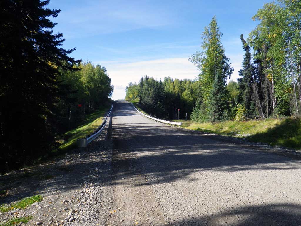
Road Name: Kime Lane
Datum: WGS84
Quad Name / ITM: Anchorage C-8
AWC Stream #: 247-41-10100-2231-3070
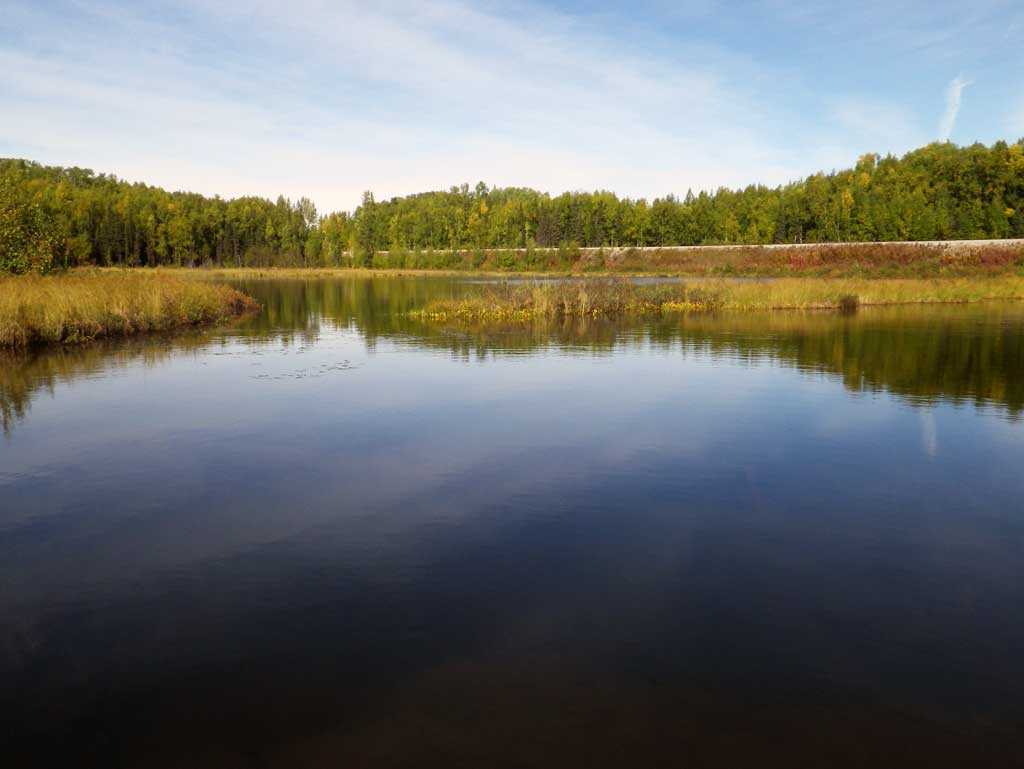
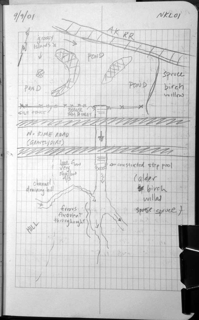
Stream Name: Outlet of Kime Pond
Elevation:
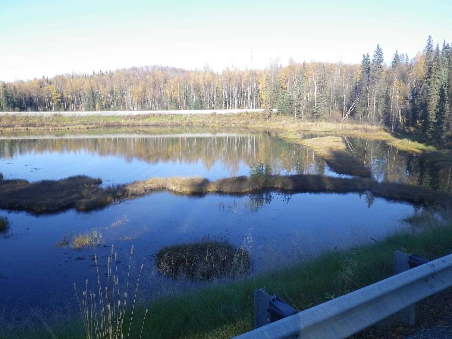
Site Comments: Nancy Lake and unnamed pond
arrow to the right of the survey date below to choose a different report for this site.
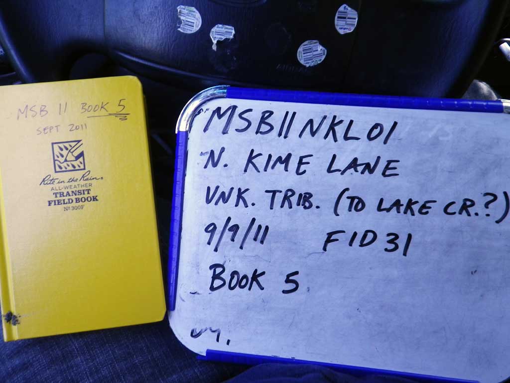
Survey MSB11-NKL01
Project Supervisor: Gillian O'Doherty, Alaska Department of Fish and Game
— Anchorage, AK
Observers: Abraham Gioffre, Jim Latham
Overall Fish Passage Rating:
Tidal: No
Backwatered: No
Step Pools: Yes
Construction Year: 2008
Site Observations:
- Culvert gradient red
- Woody Debris
- Beaver Activity
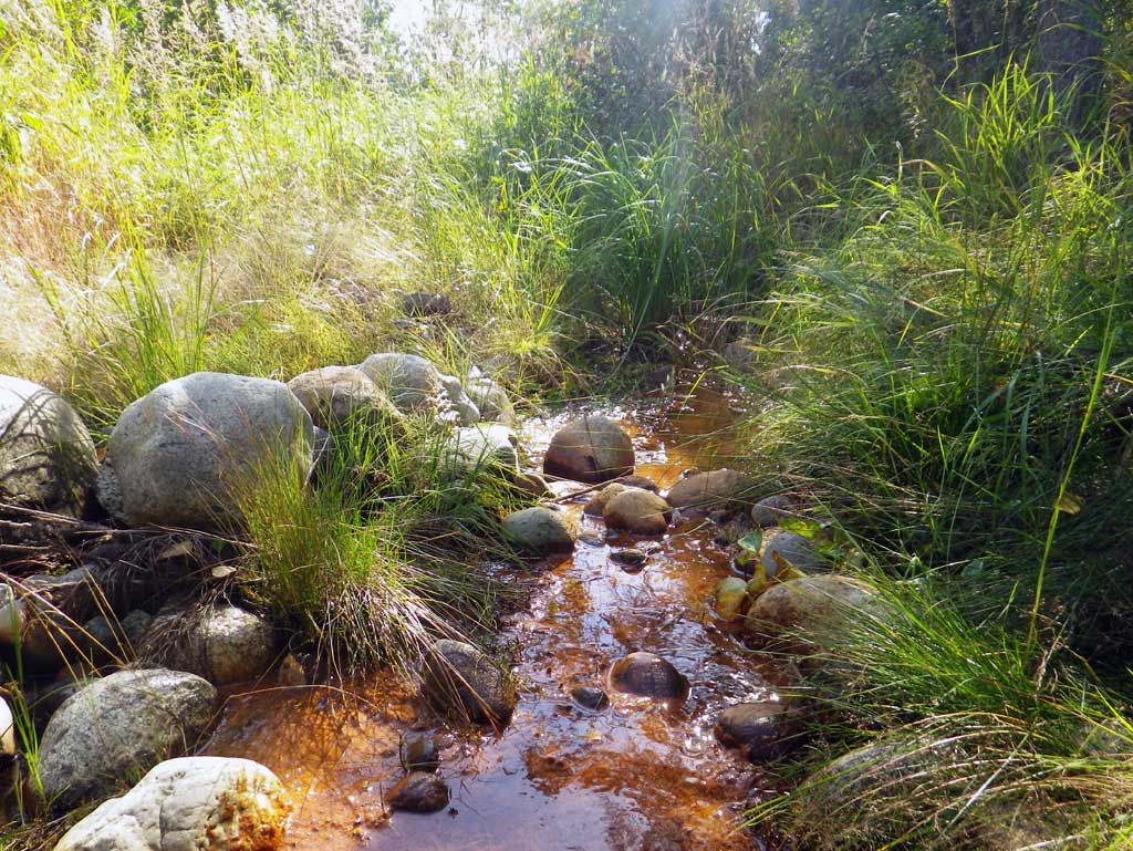
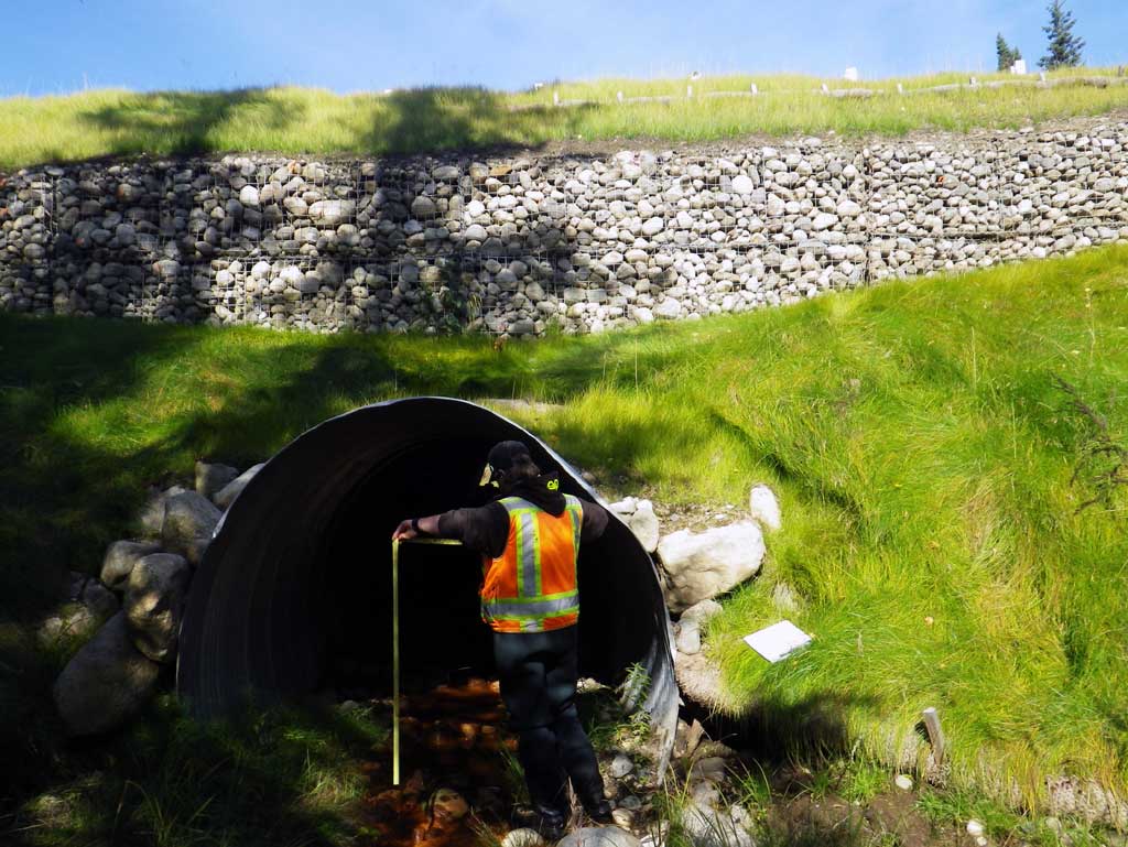
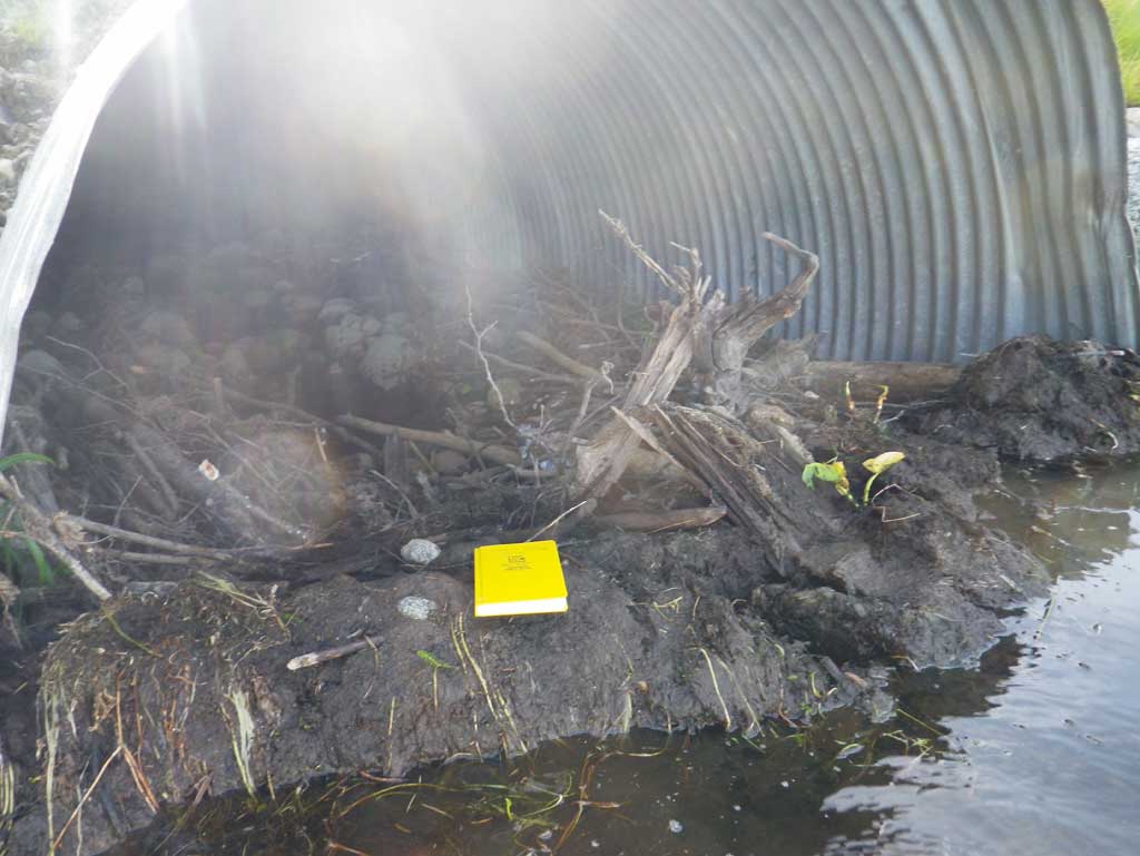
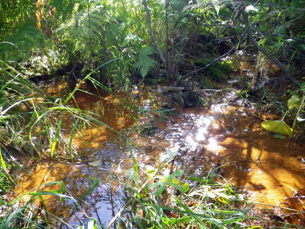
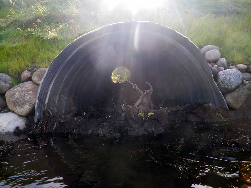
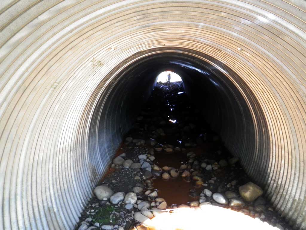
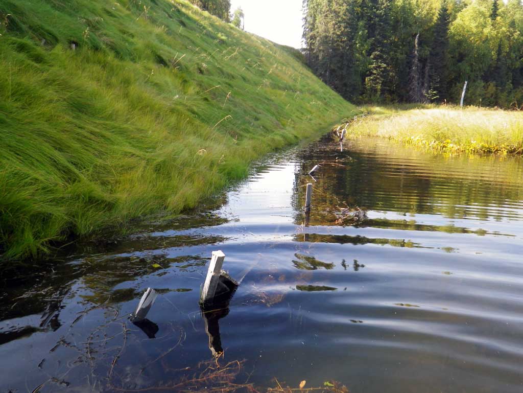
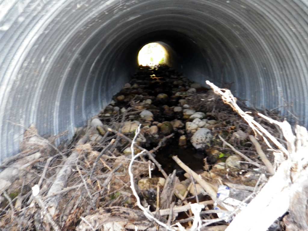
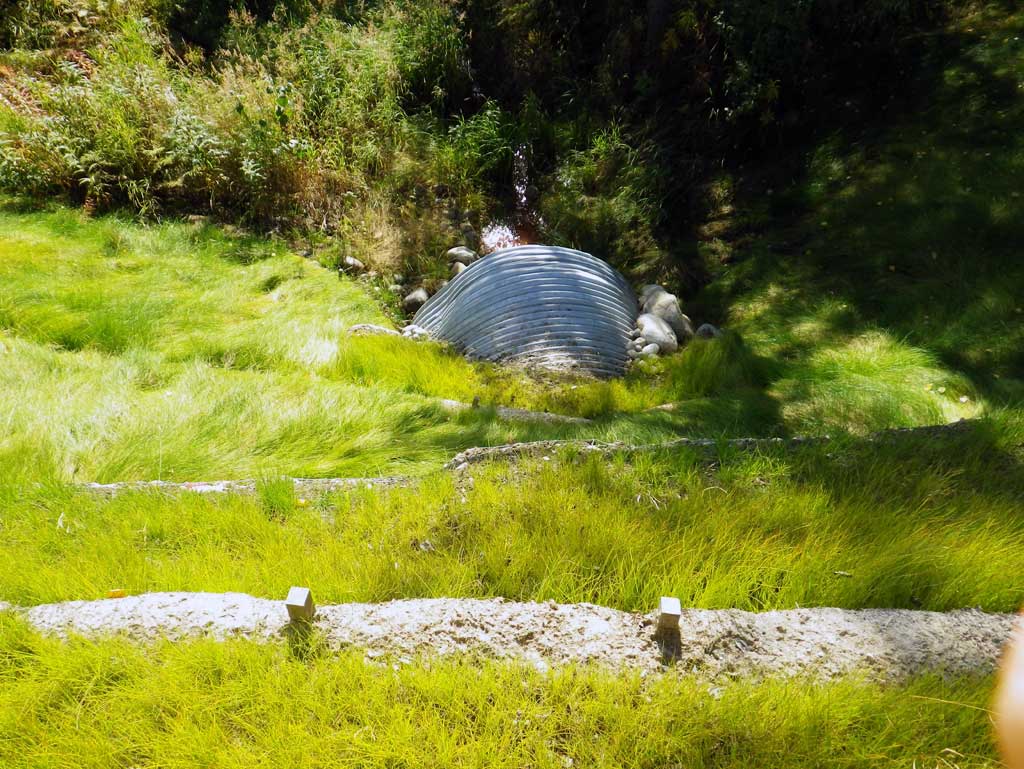
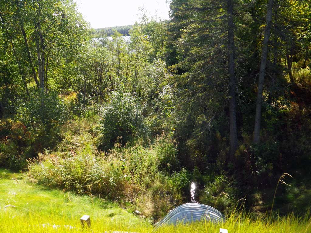
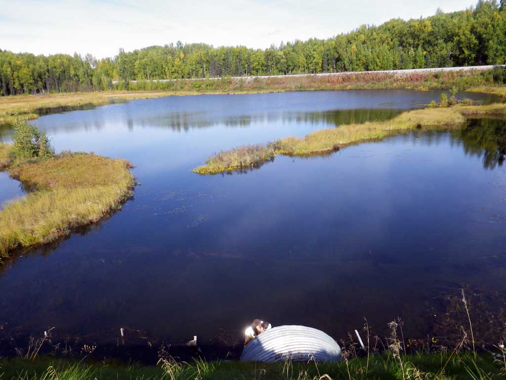
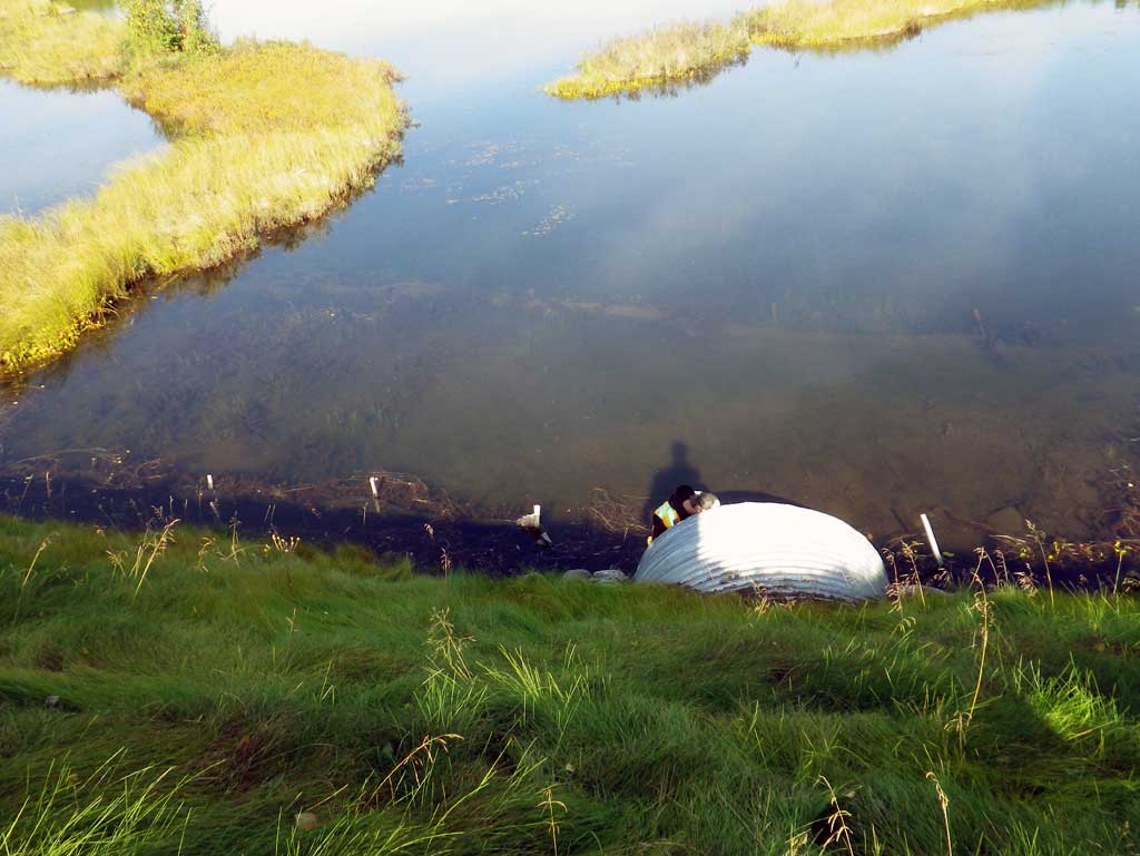
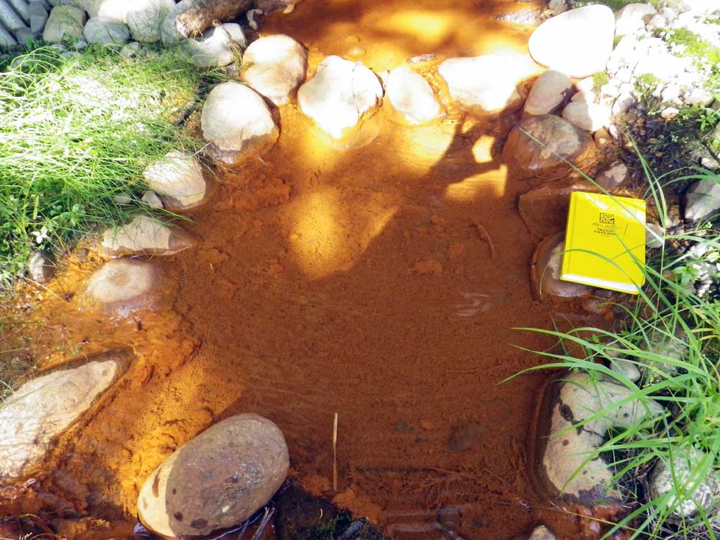
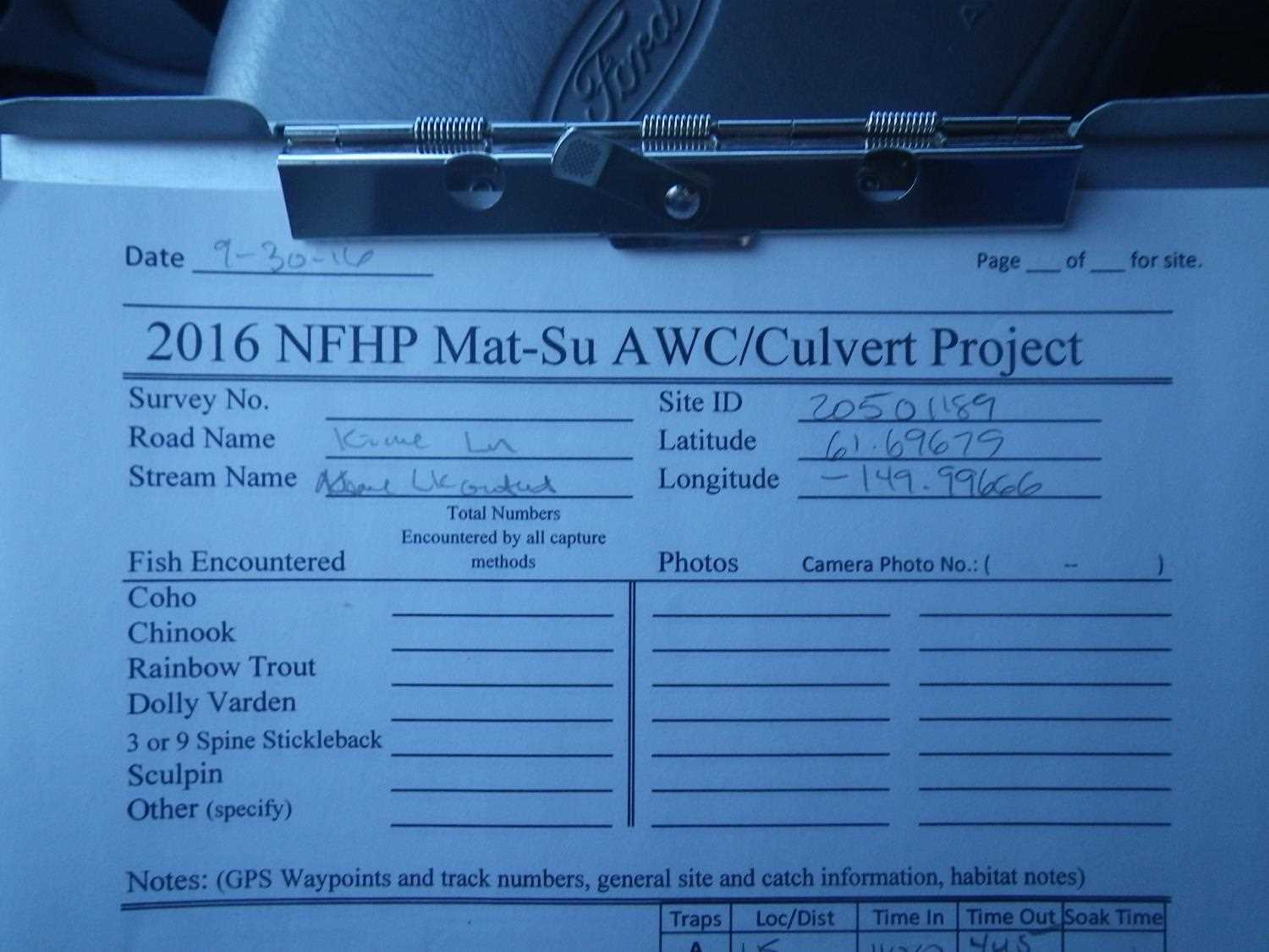
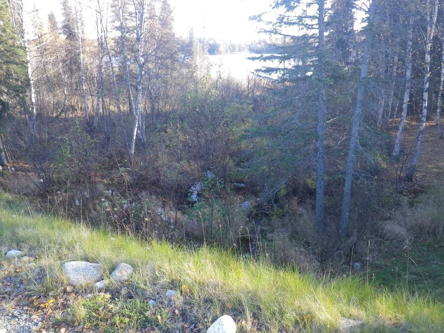
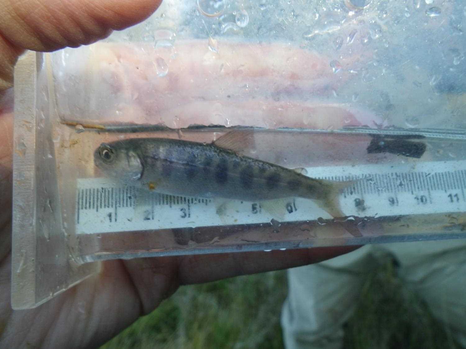
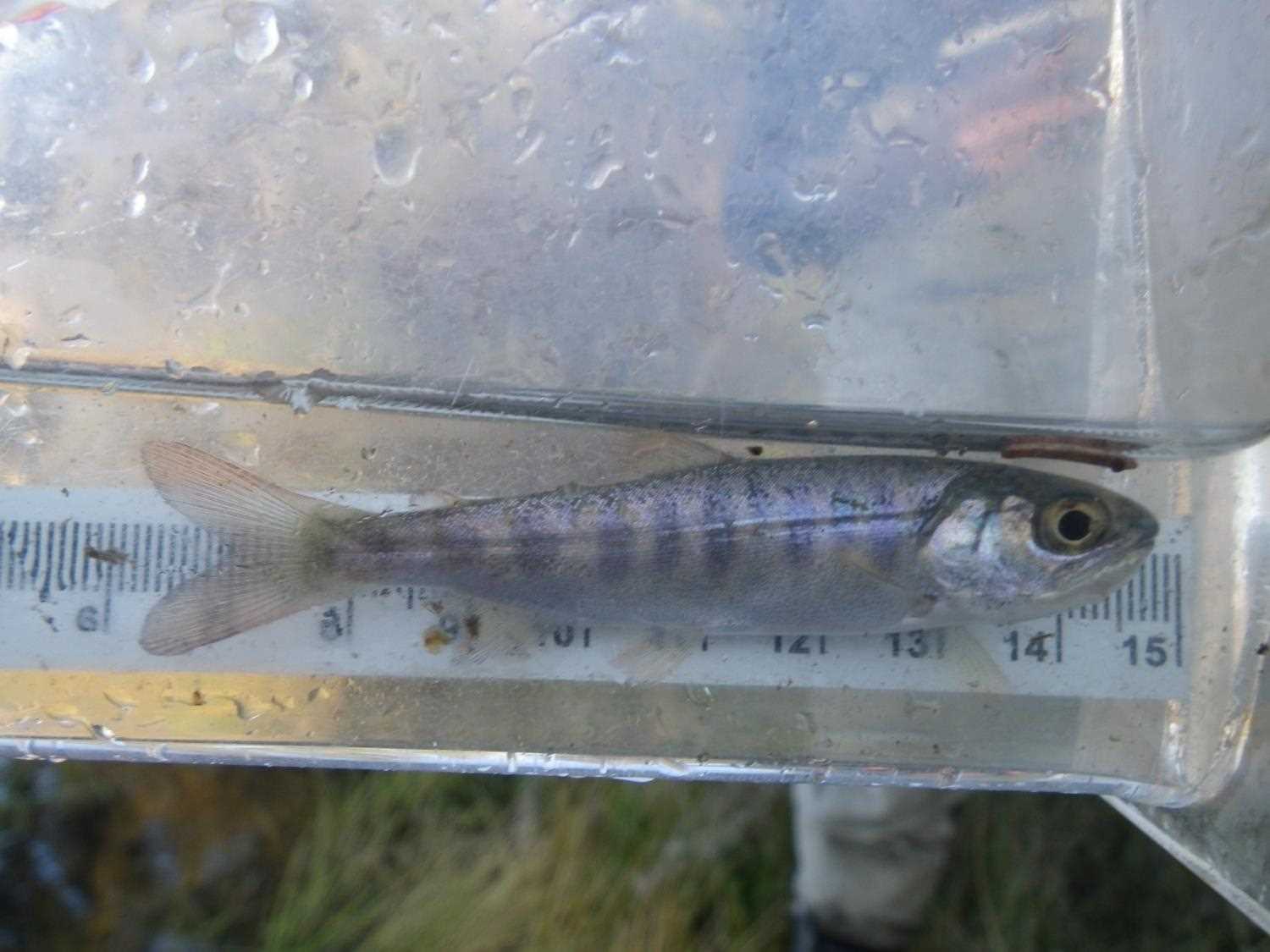
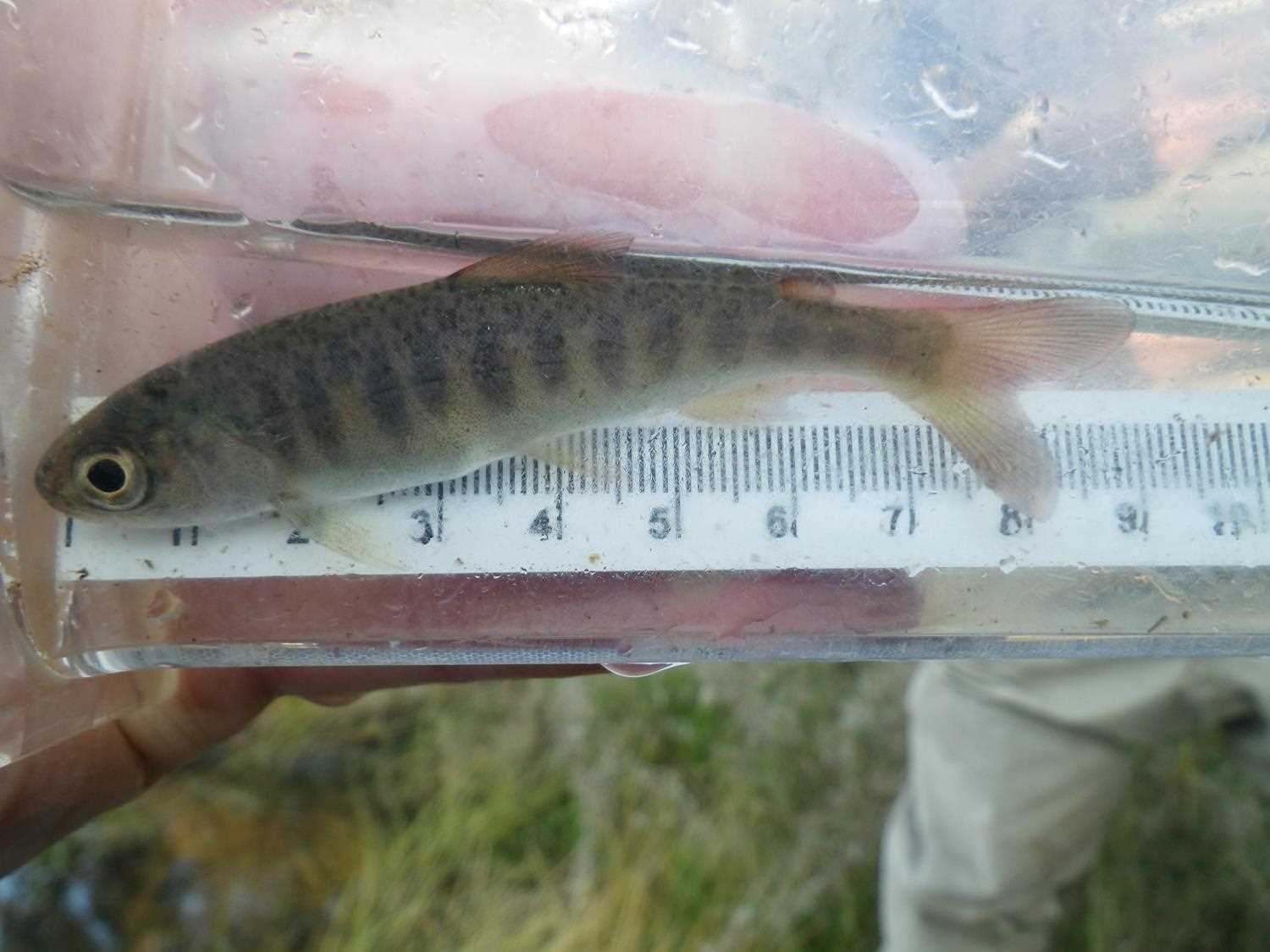
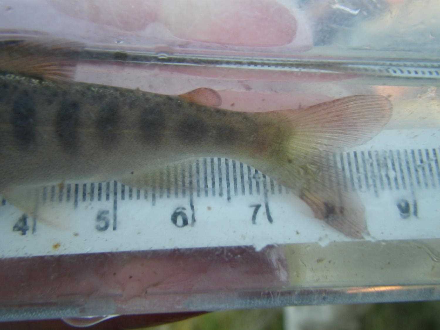
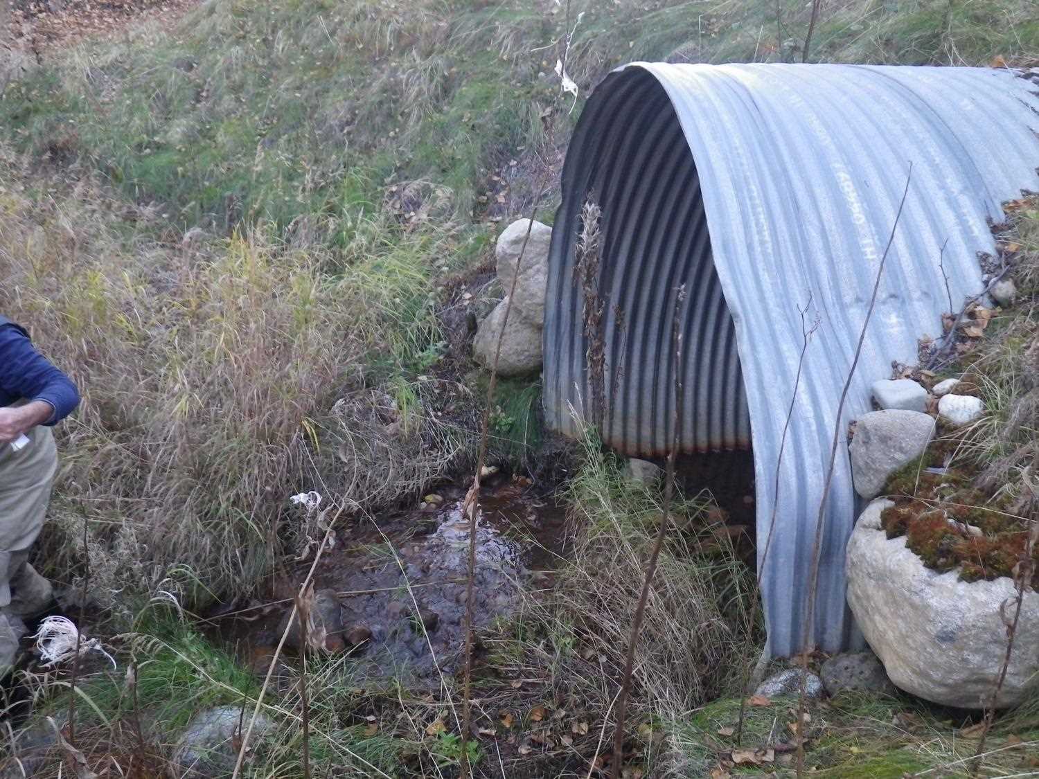
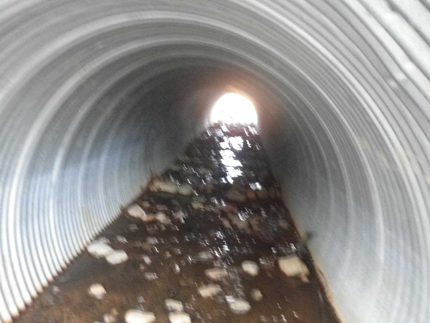
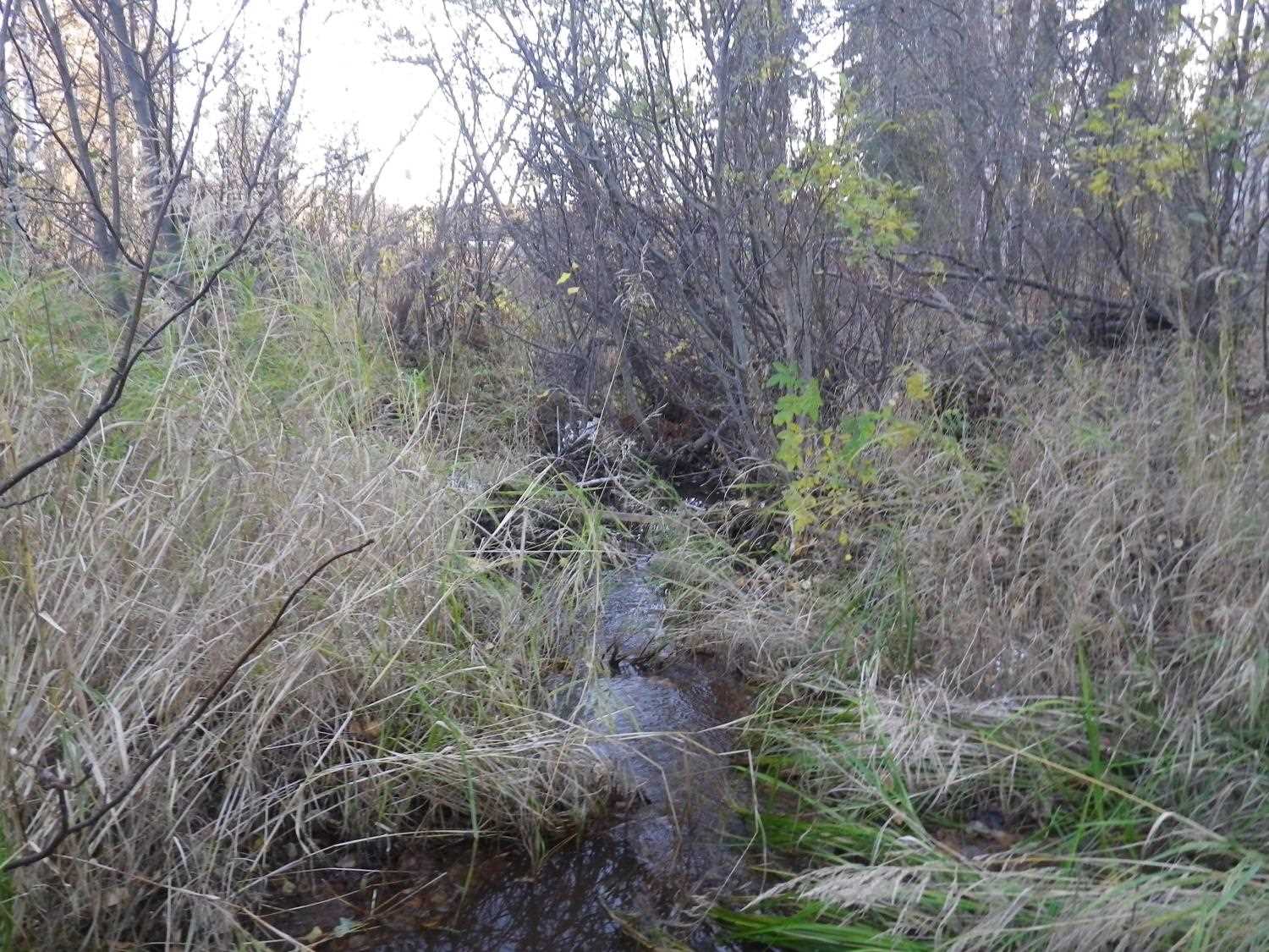
Comments: Culvert connects a marsh land to a lake. The inlet is clogged with a beaver dam which is blocking nearly all water flow. The substrate/beaver dam at the inlet is too deep to measure. The dwst area is a very shallow ferrous flocculent muck substrate in a marsh area. No stream widths or measurements taken. **Updated site photos collected from 9/30/16 site visit from Sampling Unmapped Streams in the MSB project. Fish sampling information entered into AFFI *** Beaver dam has been removed since 2011 visit. Lots of coho and ninespine sticklebacks upstream.
Culvert Measurements
| ID: 1 | Structure Type: Circular pipe (Corrugated steel) | Fish Passage Rating: | |||||||||||||||||||||||||||||||||||||||||
|
|
|
|||||||||||||||||||||||||||||||||||||||||
Culvert Observations:
|
|||||||||||||||||||||||||||||||||||||||||||
Stream Measurements
|
|
No stream width data available.
Elevations
| Locator ID | Culvert Number |
River Distance (ft)1 |
Distance From Crossing (ft)2 |
Relative Elevation (ft) |
|---|---|---|---|---|
| D/S Thalweg (profile pt) | 0.00 | 77.99 | ||
| D/S Water Surface Elev | 0.00 | 78.14 | ||
| D/S Tailcrest or 1st Thalweg (tailwater control) | 7.00 | 78.56 | ||
| D/S Water Surface Elev | 7.00 | 78.63 | ||
| D/S Water Surface Elev (outlet water surface) | 12.00 | 78.64 | ||
| Outlet Invert (invert on substrate) | 12.00 | 78.54 | ||
| Outlet Culvert Top | 12.00 | 85.16 | ||
| Road Elev | 52.00 | 97.85 | ||
| Inlet Culvert Invert (invert substrate on beaver dam) | 92.50 | 84.20 | ||
| Inlet Culvert Top | 92.50 | 87.72 | ||
| U/S Thalweg (profile pt) | 95.50 | 82.54 | ||
| U/S Water Surface Elev | 95.50 | 83.87 |
Notes:
- River distance is measured continuously throughout the survey reach along the thalweg of the stream.
- Measured from each end of the crossing along the thalweg of the stream.
Fish Sampling Efforts
No fish sampling occurred during this survey.
Fish Observations
No fish observations occurred during this survey.
Photos
Questions or comments about this report can be directed to dfg.dsf.webmaster@alaska.gov