Fish Passage Site 20501182
Coordinates (dec. deg.): 61.70733°, -150.08525°
Legal Description: S019N005W25
Region: South Central
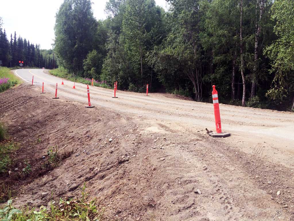
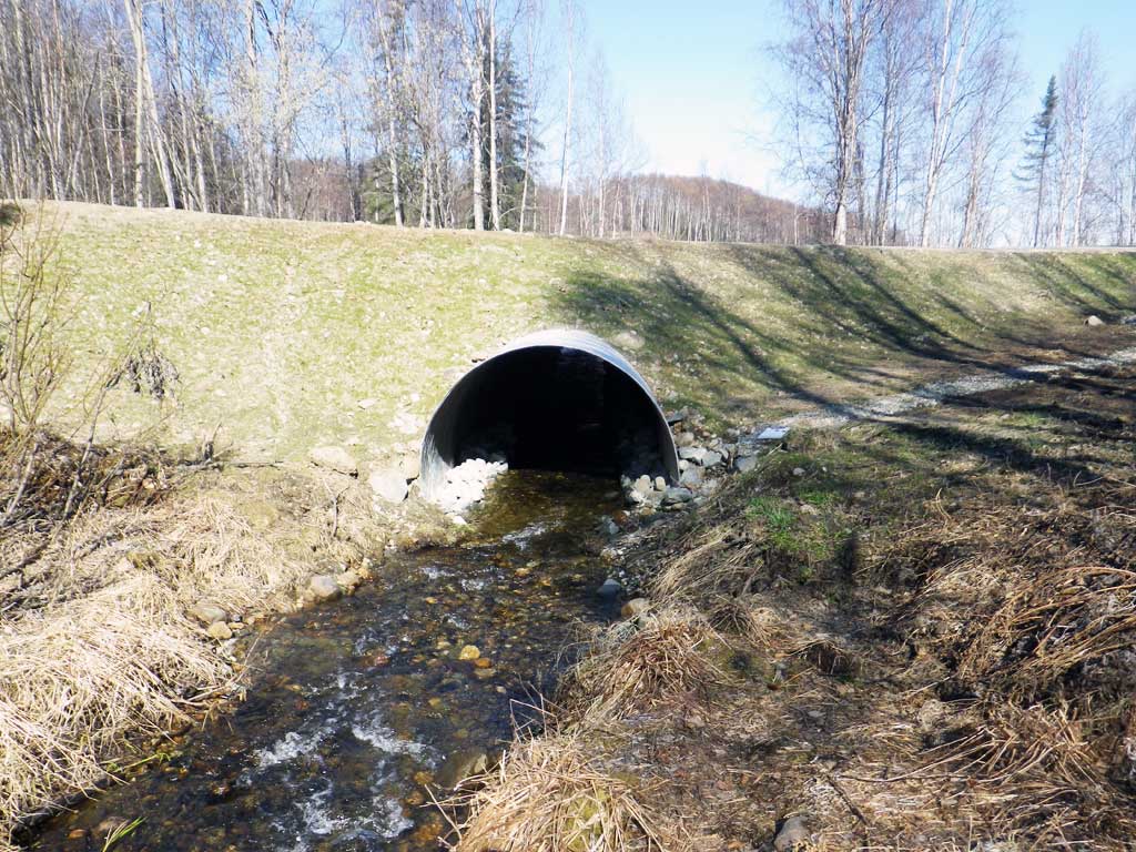
Road Name: Crystal Lake Road
Datum: WGS84
Quad Name / ITM: Tyonek C-1
AWC Stream #:
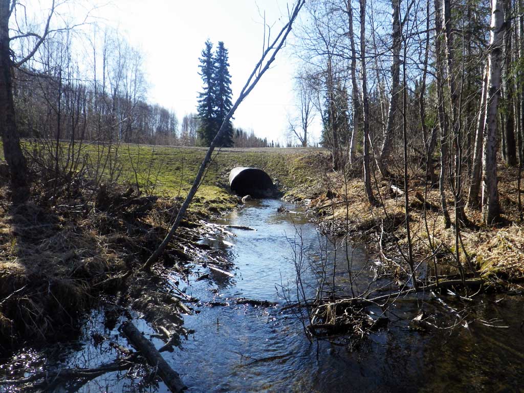
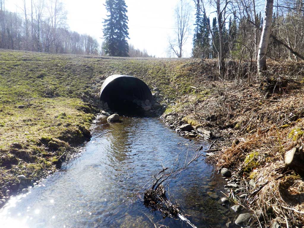
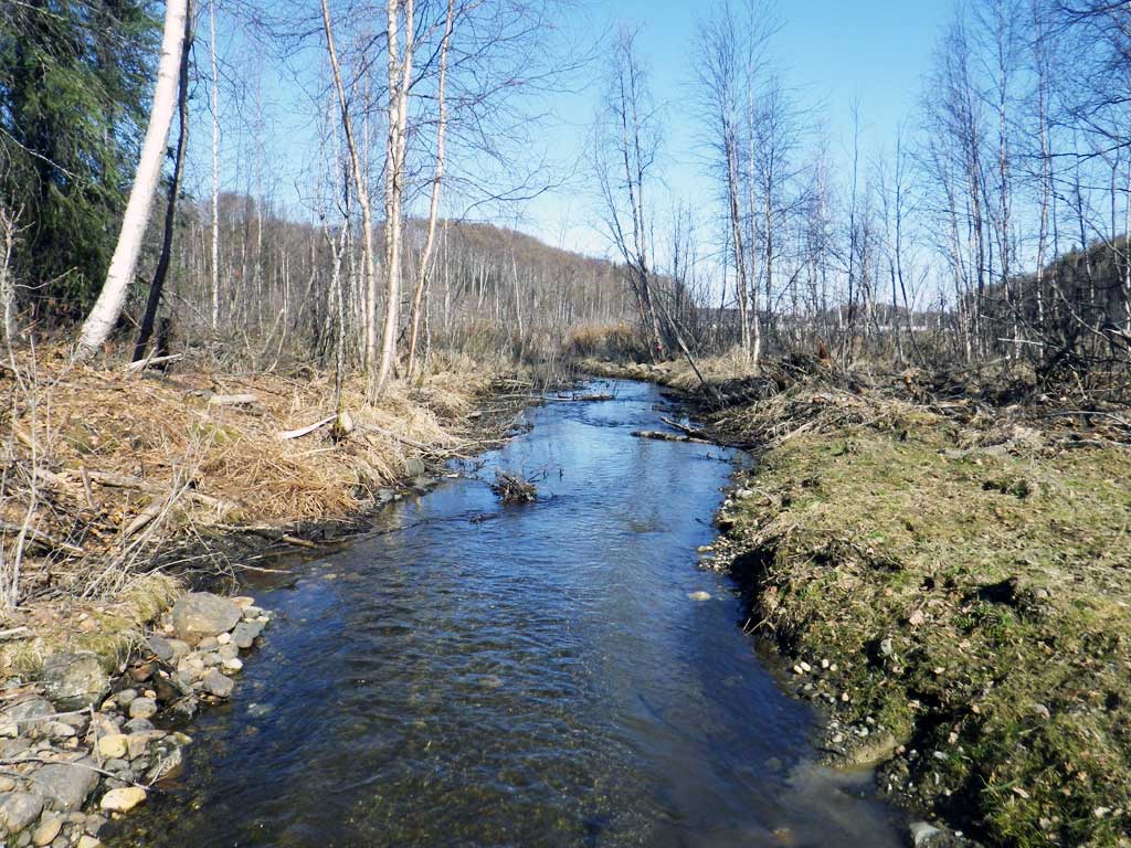
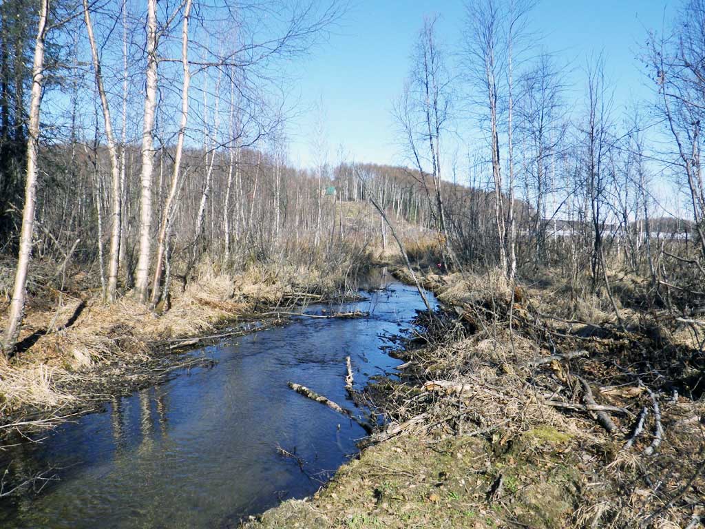
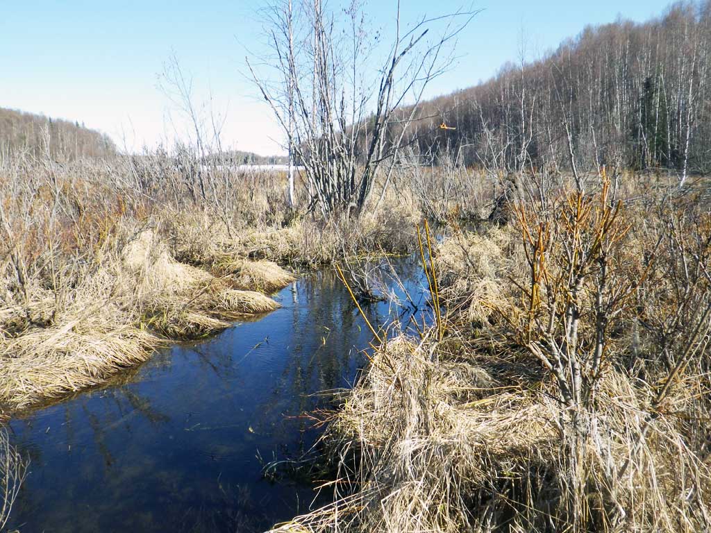
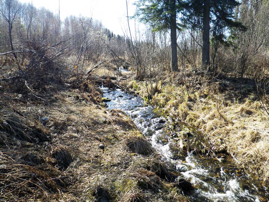
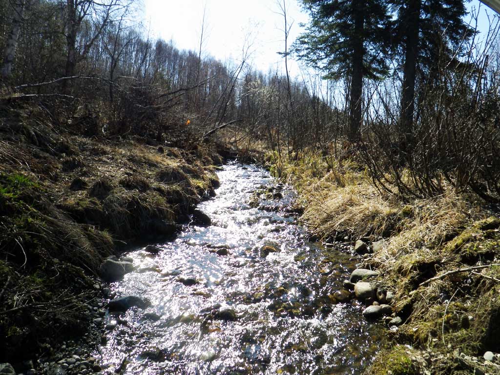
Stream Name: Rainbow Lake to Long Lake connection
Elevation:
Site Comments: Rainbow Lake to Long Lake connection
arrow to the right of the survey date below to choose a different report for this site.
Survey UPDATE-CRL01
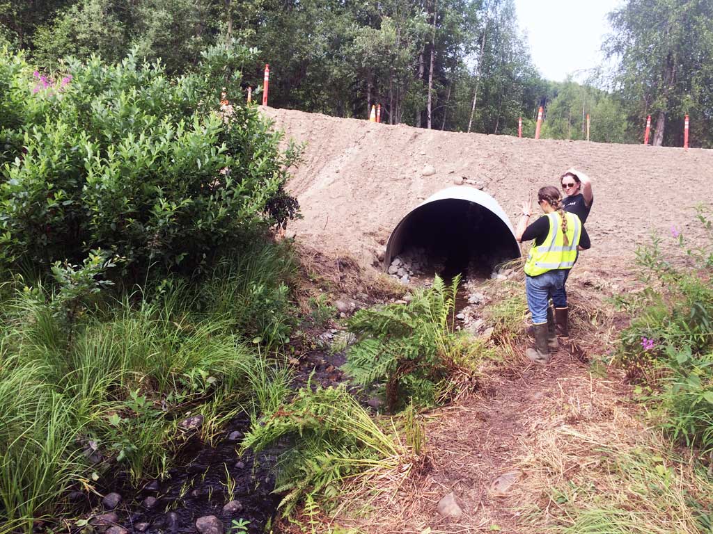
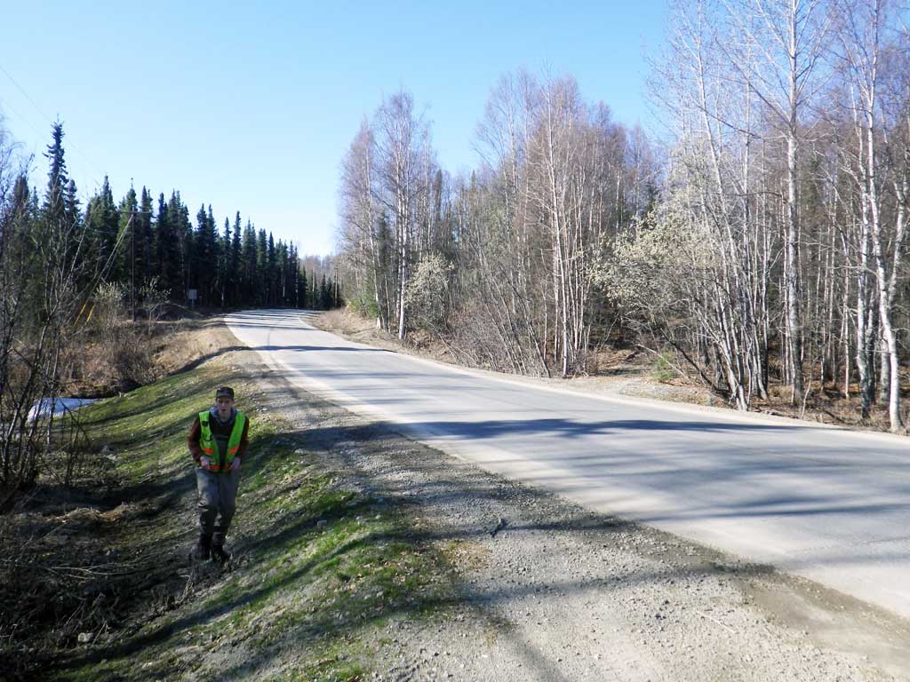
Project Supervisor: Gillian O'Doherty, ADFG
Observers: Mark Eisenman, Gillian O'Doherty
Overall Fish Passage Rating:
Tidal: No
Backwatered: No
Step Pools: No
Construction Year: 2015
Site Observations:
- None of this type
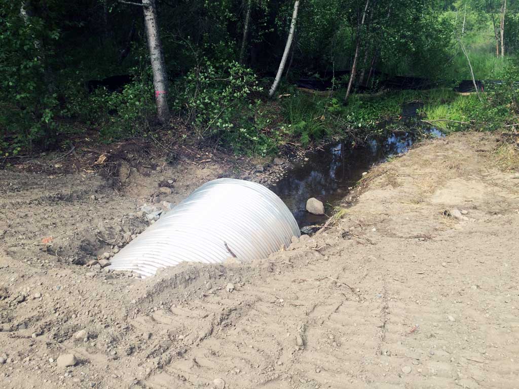
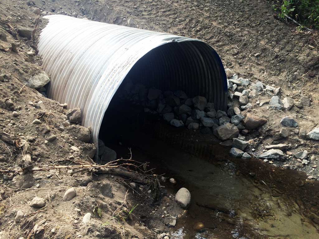
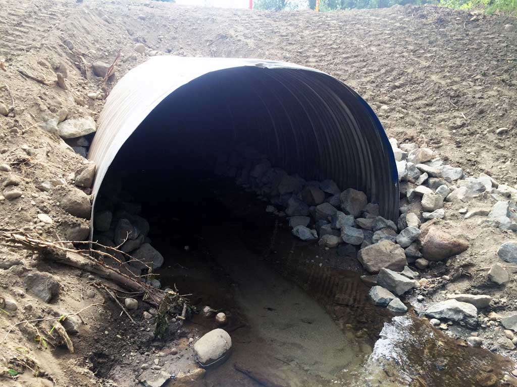
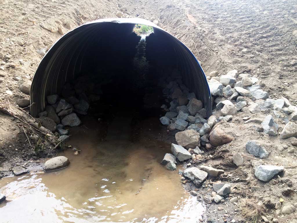
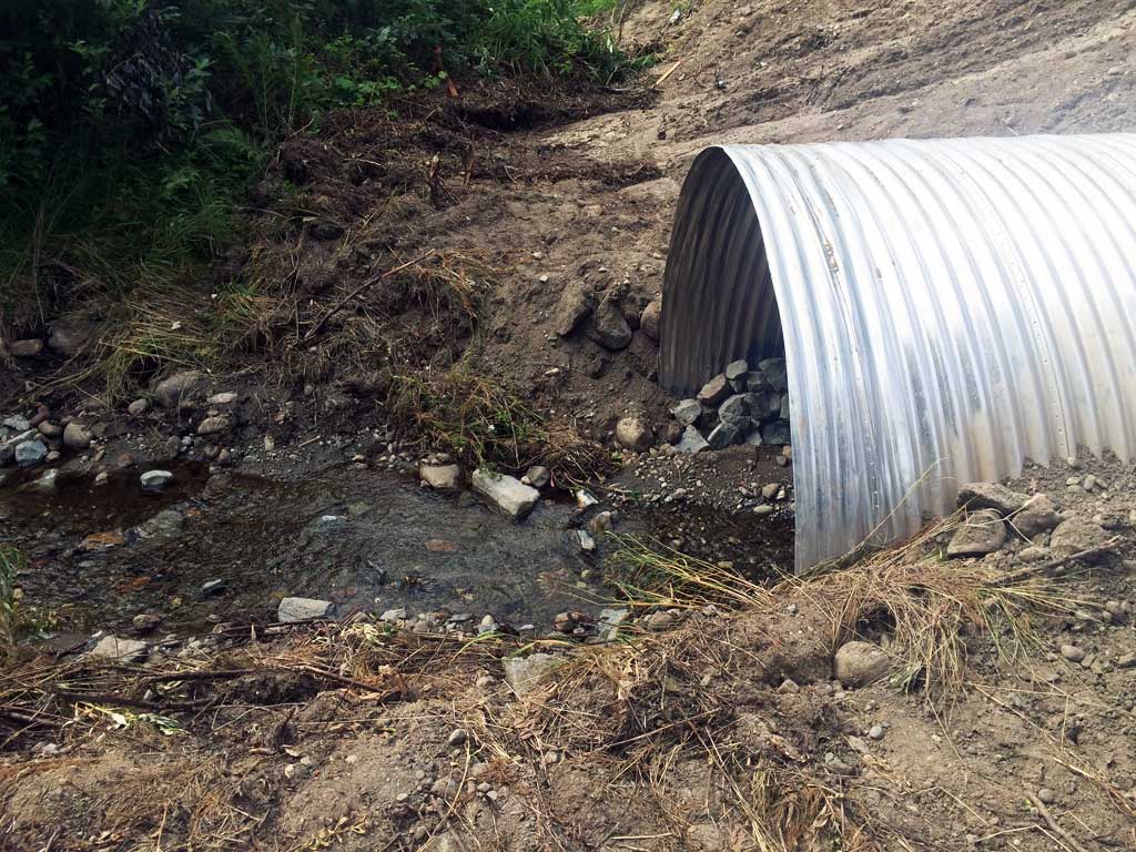
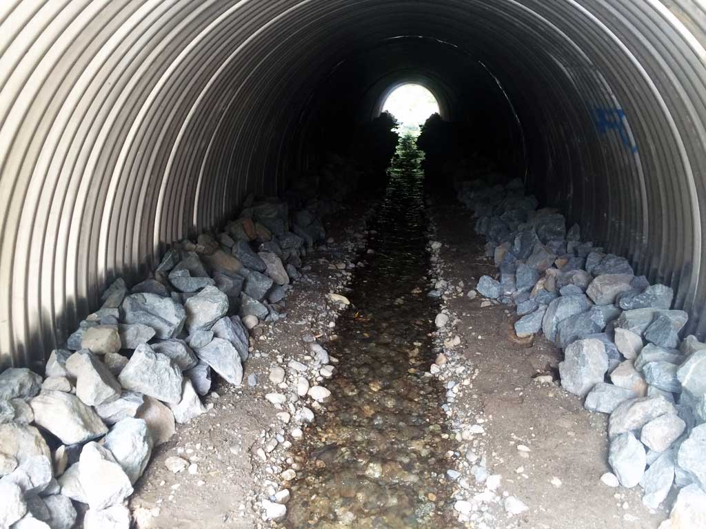
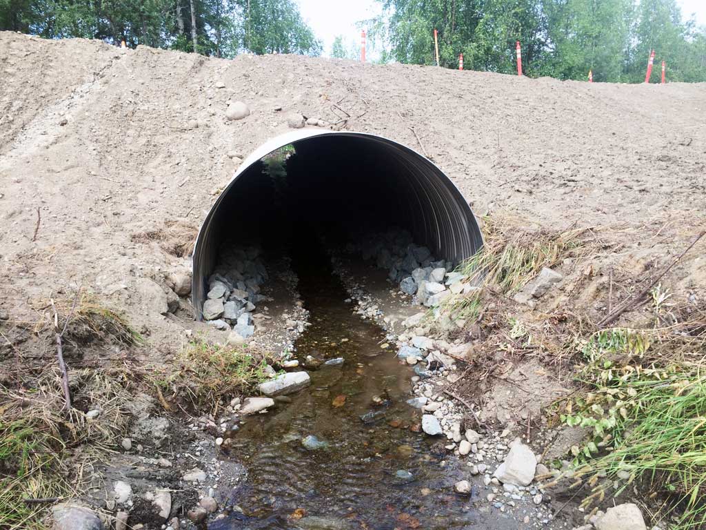
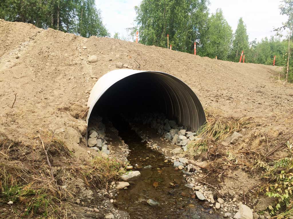
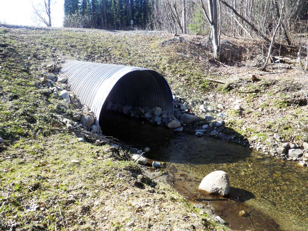
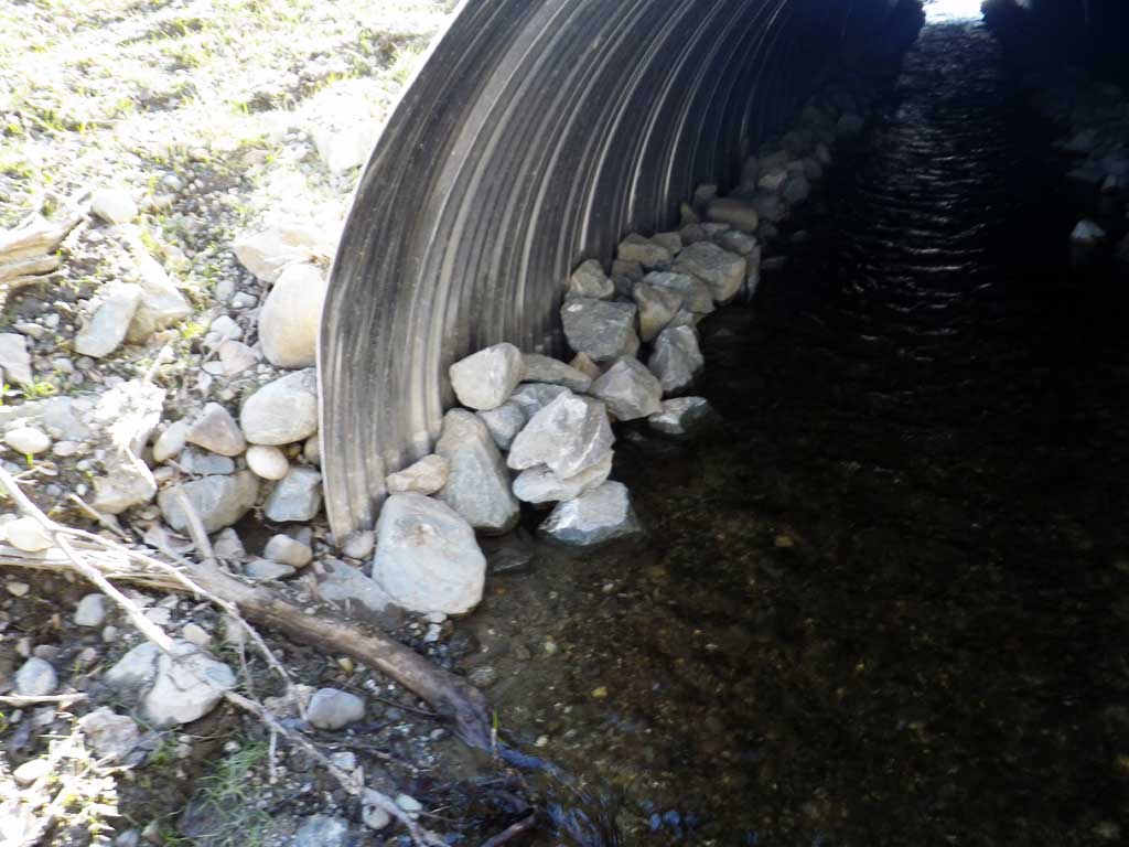
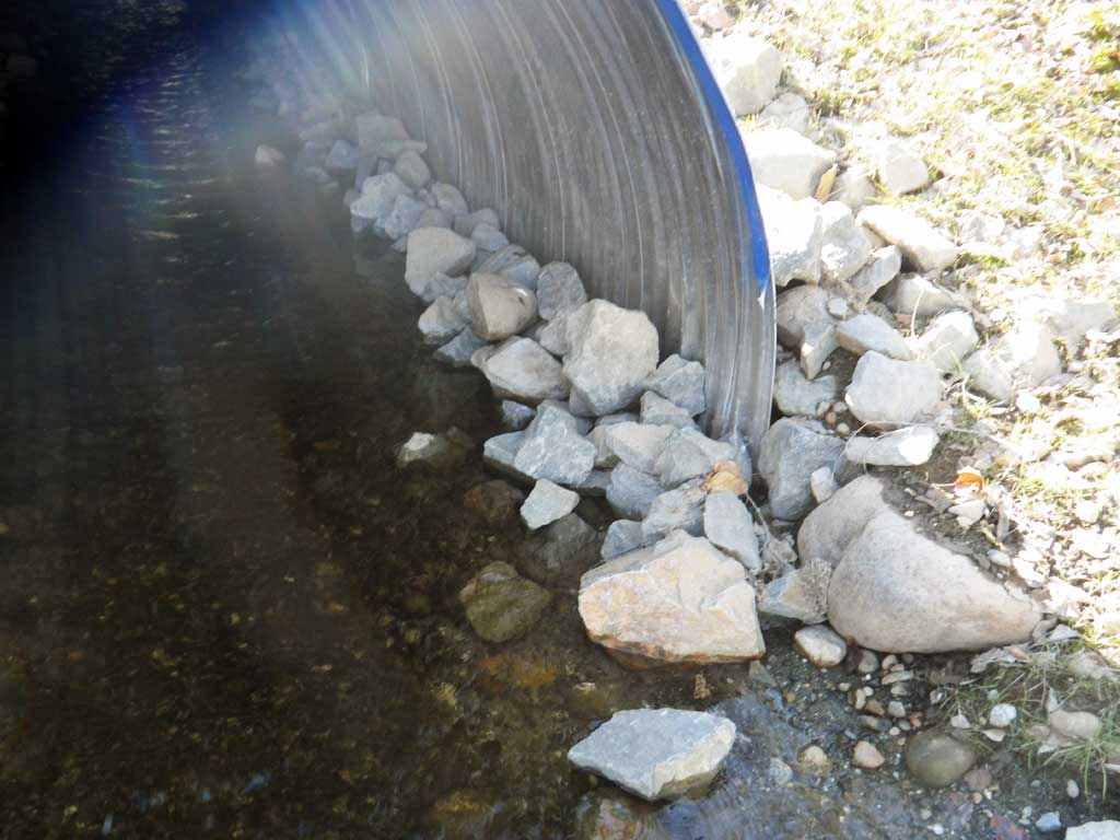
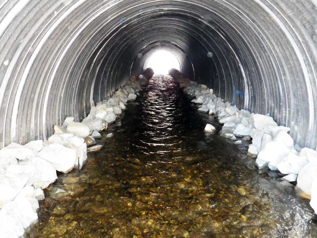
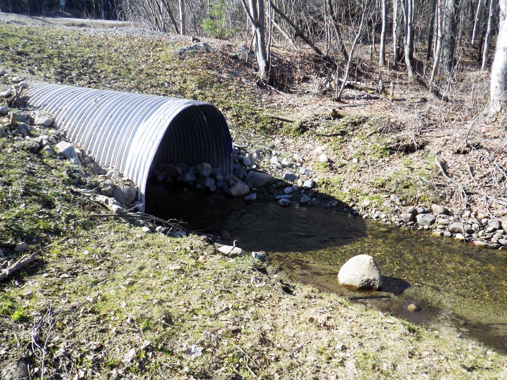
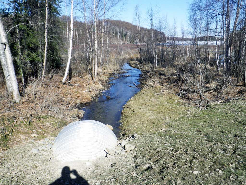
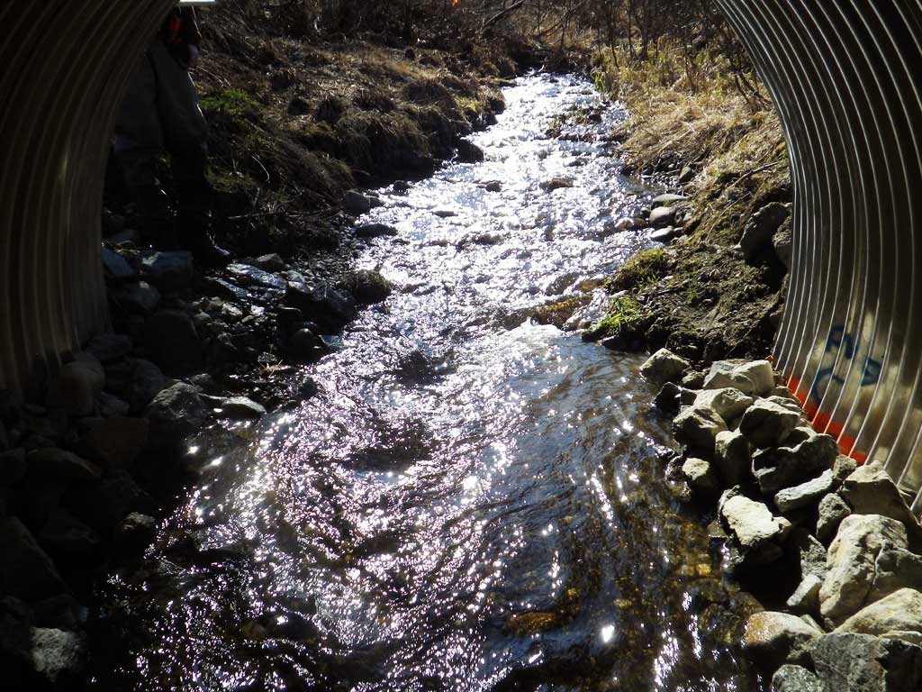
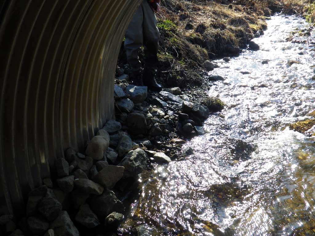
Comments: Culvert replaced July 2015. Nice constructed banks along sides of culvert. All construction sediment control has been removed and banks are starting to green up nicely.
Culvert Measurements
| ID: 1 | Structure Type: Circular pipe (Corrugated steel) | Fish Passage Rating: | ||||||||||||||||||||||||||||||||||||||||||
|
|
|
||||||||||||||||||||||||||||||||||||||||||
Comments: Stream gradient cal |
||||||||||||||||||||||||||||||||||||||||||||
Stream Measurements
|
|
No stream width data available.
Elevations
| Locator ID | Culvert Number |
River Distance (ft)1 |
Distance From Crossing (ft)2 |
Relative Elevation (ft) |
|---|---|---|---|---|
| Road Elev | 103.99 | |||
| D/S Water Surface Elev | 0.00 | 93.23 | ||
| D/S Thalweg | 0.00 | 92.71 | ||
| D/S Grade Ctrl (Thalweg) (Gravel Bar) | 38.00 | 93.29 | ||
| D/S Water Surface Elev | 38.00 | 93.54 | ||
| D/S Water Surface Elev | 62.00 | 93.58 | ||
| D/S Thalweg (Middle of outlet riffle) | 62.00 | 93.14 | ||
| Outlet Invert (On substrate) | 83.00 | 93.18 | ||
| Outlet Culvert Top | 83.00 | 98.52 | ||
| D/S Water Surface Elev | 83.00 | 93.63 | ||
| Inlet Culvert Invert (On substrate, 1st resting) | 175.90 | 94.10 | ||
| U/S Water Surface Elev | 175.90 | 94.62 | ||
| Inlet Culvert Top | 175.90 | 100.03 | ||
| U/S Thalweg (Upstream riffle) | 204.90 | 95.60 | ||
| U/S Water Surface Elev | 204.90 | 95.94 | ||
| U/S Thalweg (Middle of riffle) | 254.90 | 96.74 | ||
| U/S Water Surface Elev | 254.90 | 97.51 | ||
| U/S Grade Ctrl (Thalweg) (Old Beaver dam) | 289.90 | 98.01 | ||
| U/S Water Surface Elev | 289.90 | 98.61 | ||
| U/S Water Surface Elev | 375.90 | 98.60 | ||
| U/S Thalweg (Above old beaver dam) | 375.90 | 97.36 |
Notes:
- River distance is measured continuously throughout the survey reach along the thalweg of the stream.
- Measured from each end of the crossing along the thalweg of the stream.
Fish Sampling Efforts
No fish sampling occurred during this survey.
Fish Observations
No fish observations occurred during this survey.
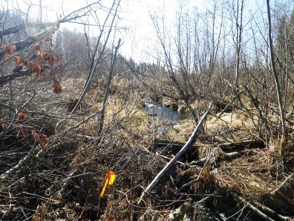
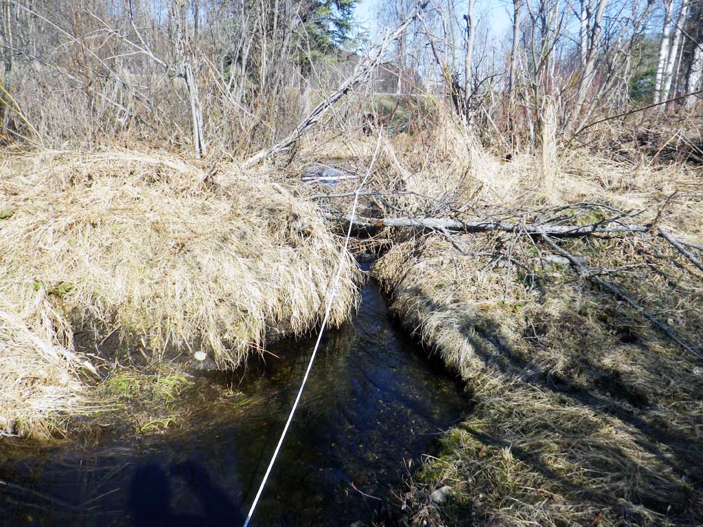
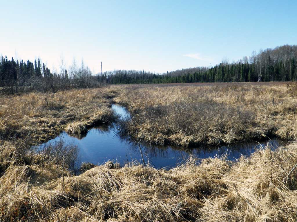
Photos


Questions or comments about this report can be directed to dfg.dsf.webmaster@alaska.gov