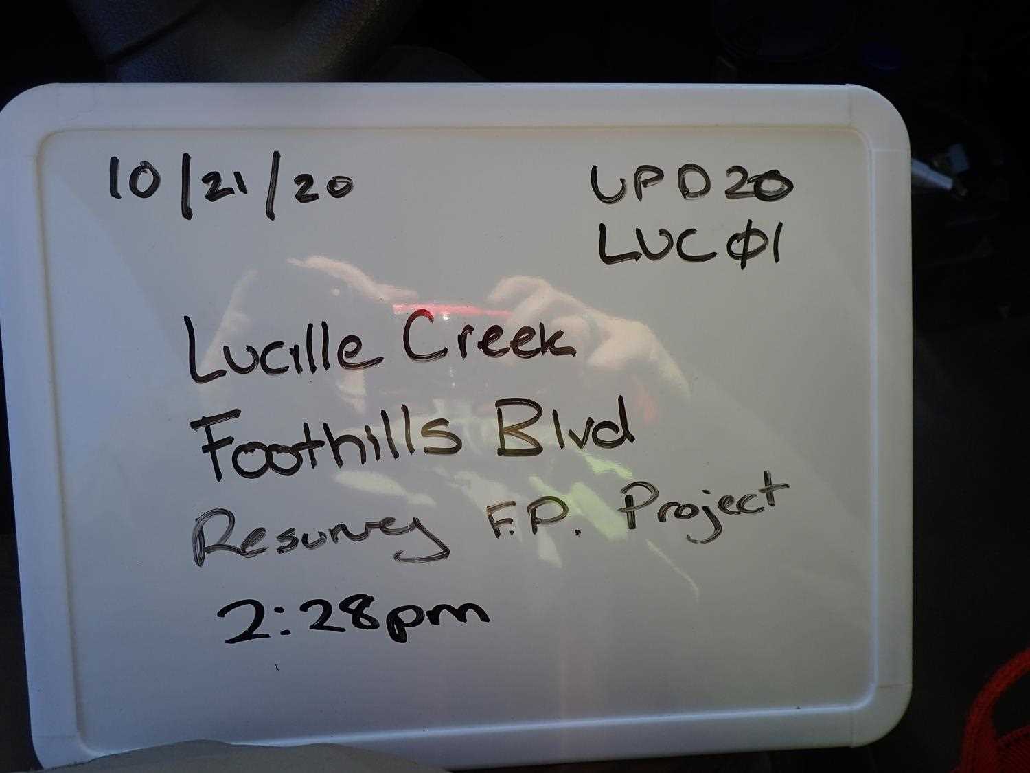
Fish Passage Site 20501154
Coordinates (dec. deg.): 61.56167°, -149.57138°
Legal Description: S017N002W14
Region: South Central
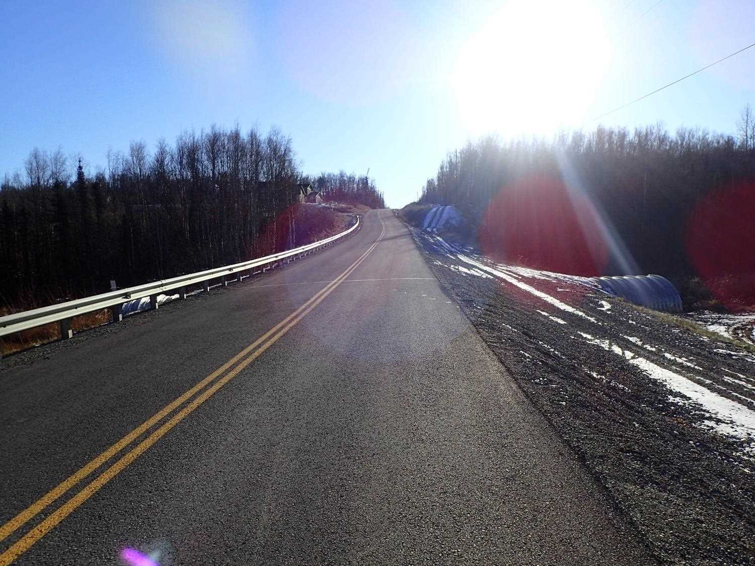
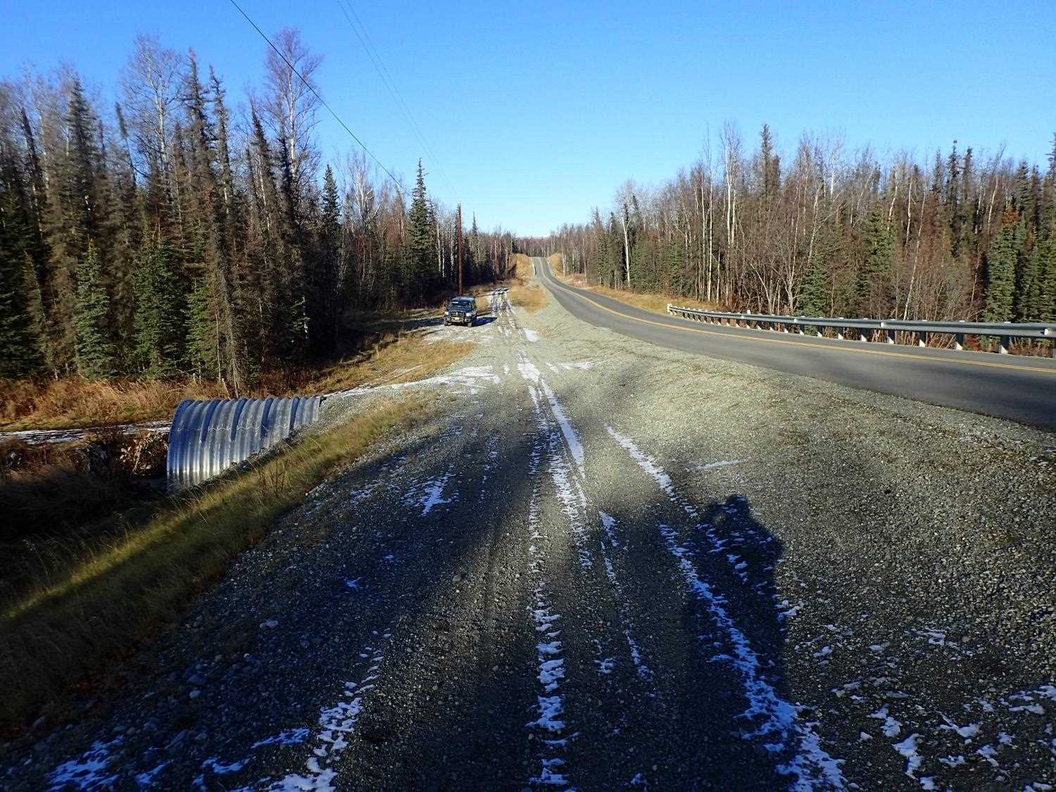
Road Name: Foothills Boulevard
Datum: NAD83
Quad Name / ITM: Anchorage C-7
AWC Stream #: 247-50-10330-2050-3030
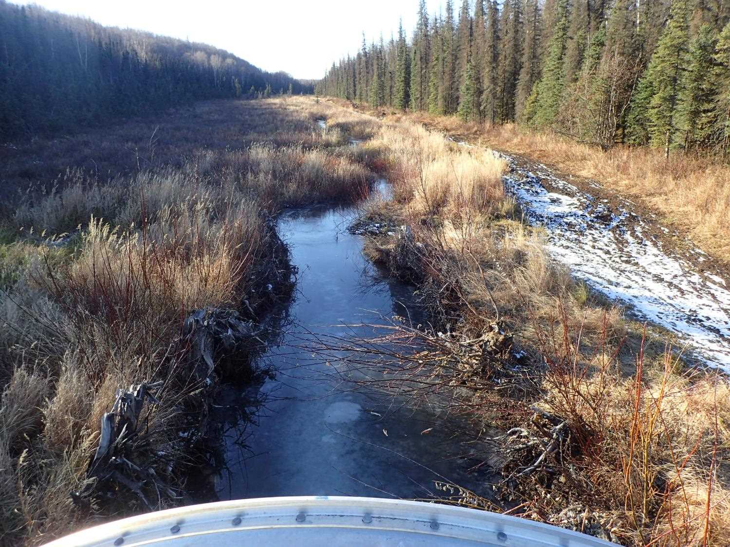
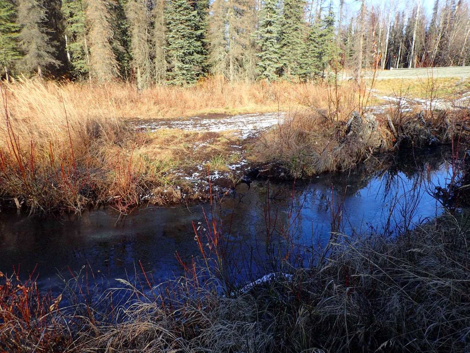
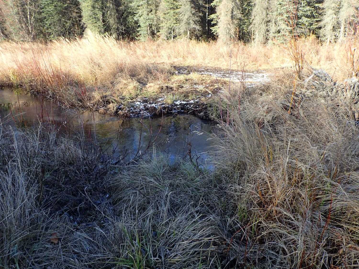
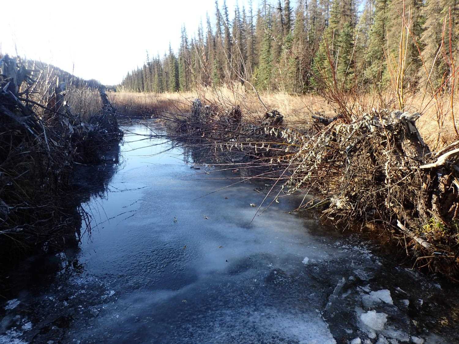
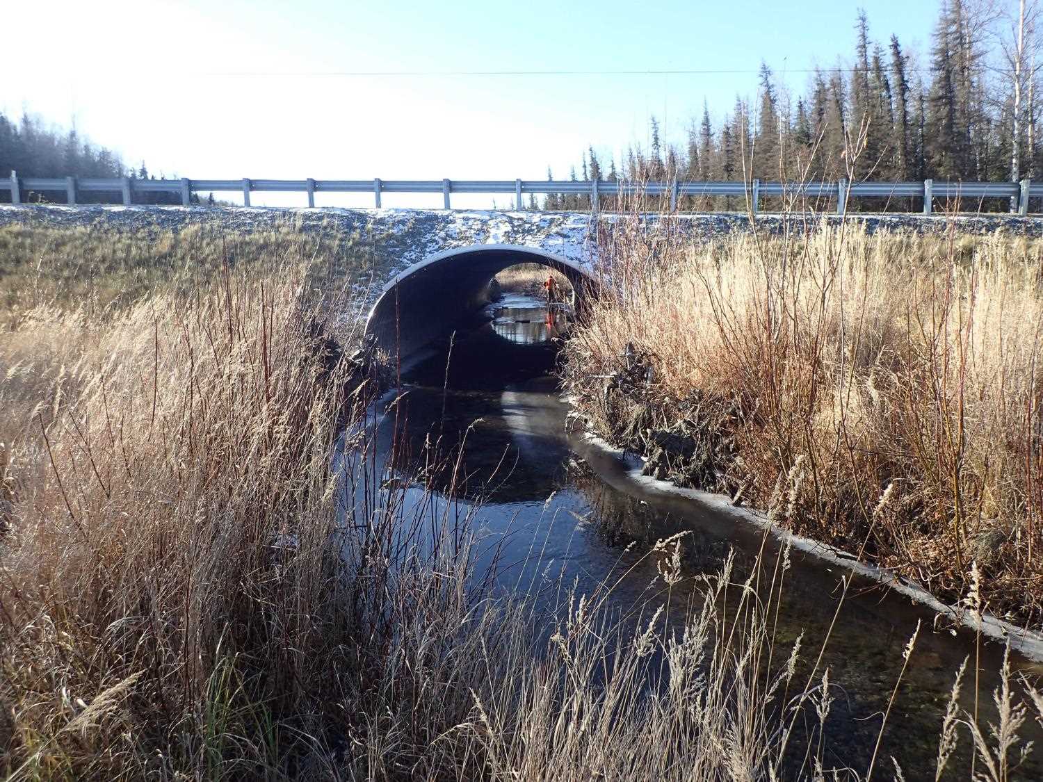
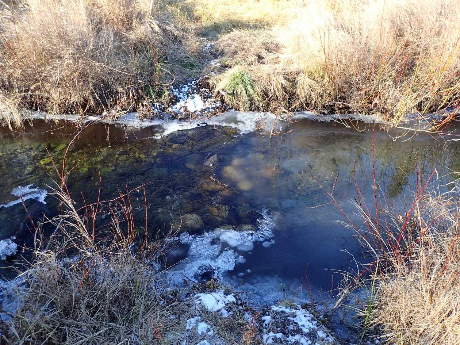
Stream Name: Lucille Creek
Elevation:
Site Comments: None
arrow to the right of the survey date below to choose a different report for this site.
Survey UPD20-LUC01
Project Supervisor: Gillian O'Doherty, Alaska Department of Fish and Game
— Anchorage, AK
Observers: Gillian O'Doherty, Kim Clark
Overall Fish Passage Rating:
Tidal: No
Backwatered: No
Step Pools: No
Construction Year: 2018
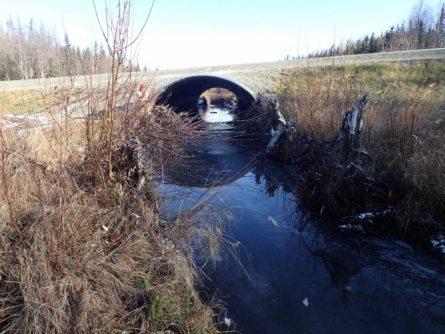
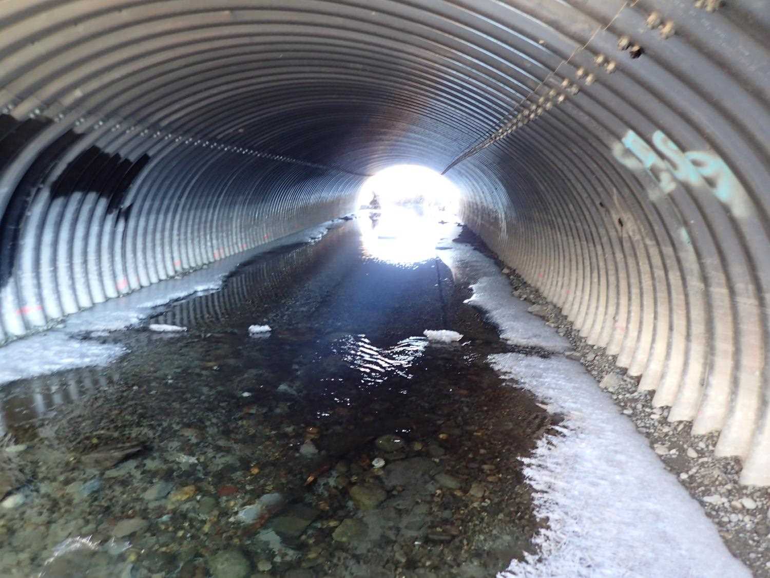
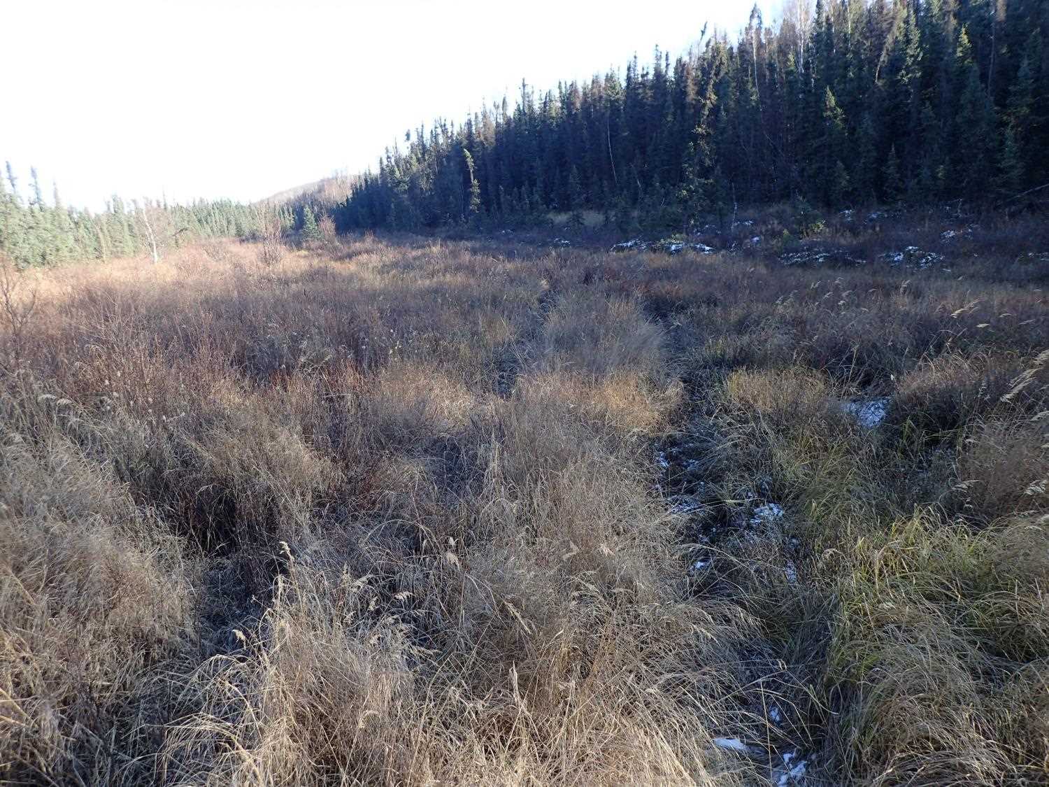
Comments: Stream gradient not found in designs. Adult salmon in culvert. ATV trail on road and along stream on downstream side. ORV crossing upstream but much less used with minimal damage. Possibly snow machine trail.
Culvert Measurements
| ID: 1 | Structure Type: Circular pipe (Structural aluminum plate) | Fish Passage Rating: | ||||||||||||||||||||||||||||||||||||||||||
|
|
|
||||||||||||||||||||||||||||||||||||||||||
Stream Measurements
|
|
No stream width data available.
Elevations
| Locator ID | Culvert Number |
River Distance (ft)1 |
Distance From Crossing (ft)2 |
Relative Elevation (ft) |
|---|---|---|---|---|
| Outlet Invert | 0.00 | 91.60 | ||
| D/S Water Surface Elev (Measurement taken on top of the ice) | 0.00 | 92.72 | ||
| Outlet Culvert Top | 0.00 | 100.08 | ||
| Inlet Culvert Top (on Rib) | 90.90 | 100.40 | ||
| U/S Water Surface Elev | 90.90 | 92.75 | ||
| Inlet Culvert Invert | 90.90 | 91.72 |
Notes:
- River distance is measured continuously throughout the survey reach along the thalweg of the stream.
- Measured from each end of the crossing along the thalweg of the stream.
Fish Sampling Efforts
No fish sampling occurred during this survey.
Fish Observations
No fish observations occurred during this survey.
Photos


Questions or comments about this report can be directed to dfg.dsf.webmaster@alaska.gov