Fish Passage Site 20501137
Coordinates (dec. deg.): 61.51365°, -150.06941°
Legal Description: S017N004W31
Region: South Central
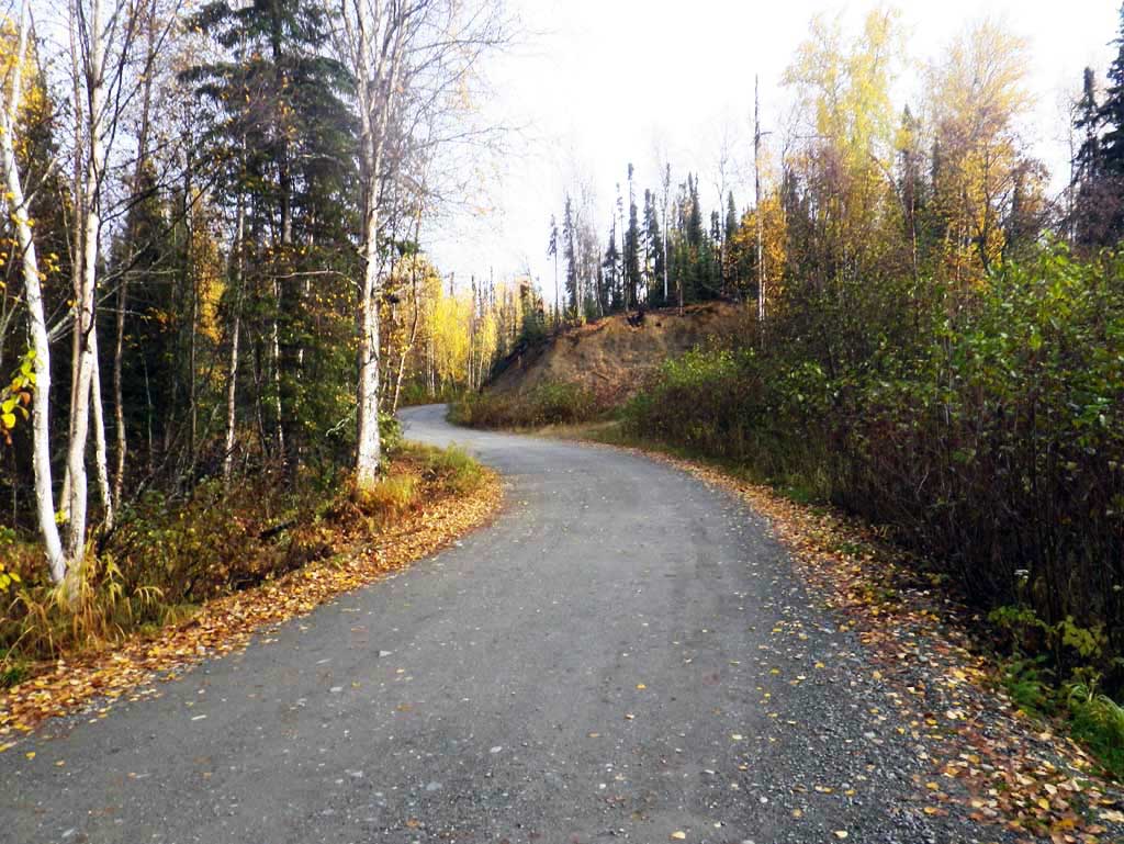
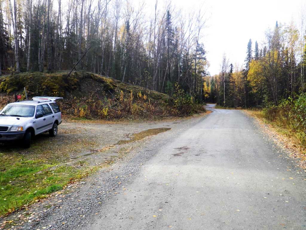
Road Name: PAPOOSE TWINS ROAD
Datum: NAD83
Quad Name / ITM: Tyonek C-1
AWC Stream #:
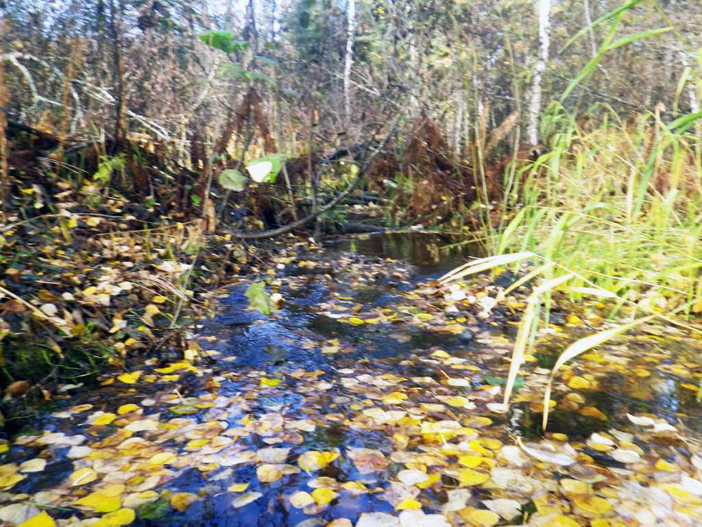
Stream Name: Crooked Lake outlet
Elevation:
Site Comments: None
arrow to the right of the survey date below to choose a different report for this site.
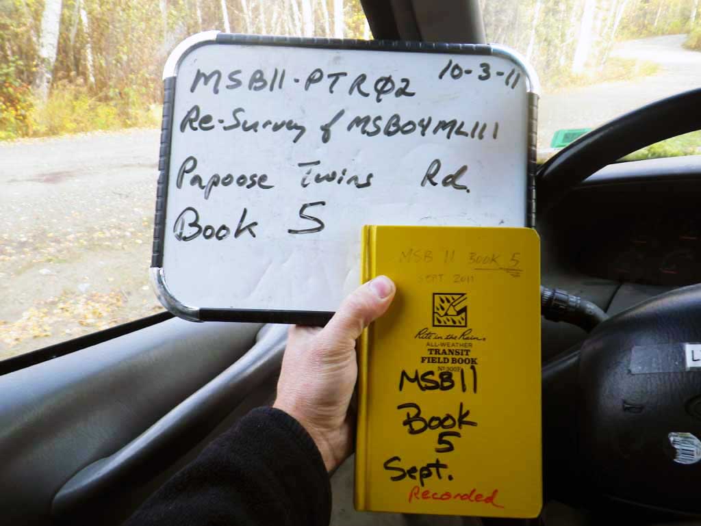
Survey MSB11-PTR02
Project Supervisor: Gillian O'Doherty, Alaska Department of Fish and Game
— Anchorage, AK
Observers: Mark Eisenman, John Greuey
Overall Fish Passage Rating:
Tidal: No
Backwatered: No
Step Pools: No
Construction Year: 2004
Site Observations:
- Beaver Activity
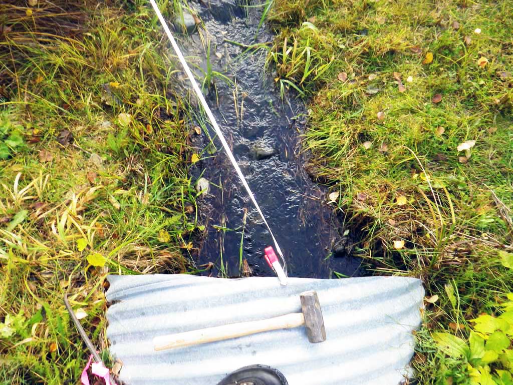
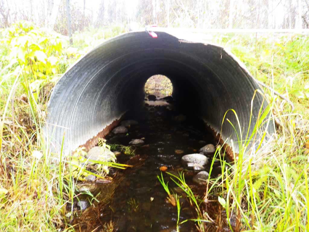
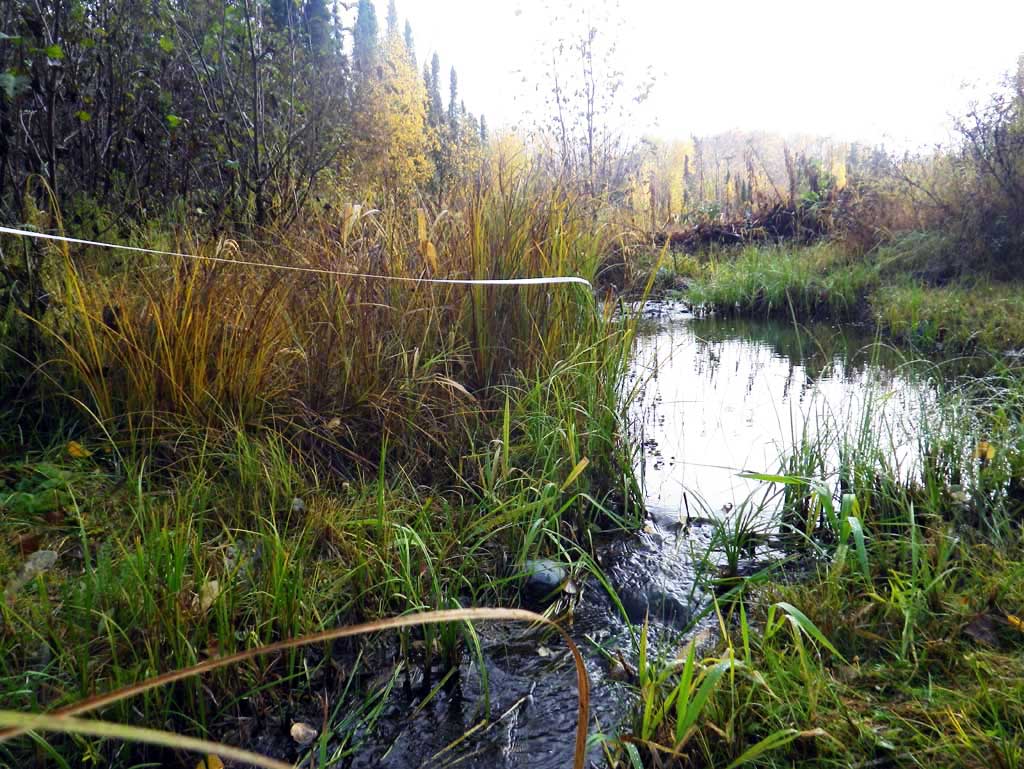
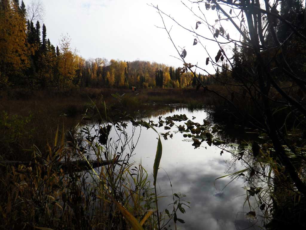
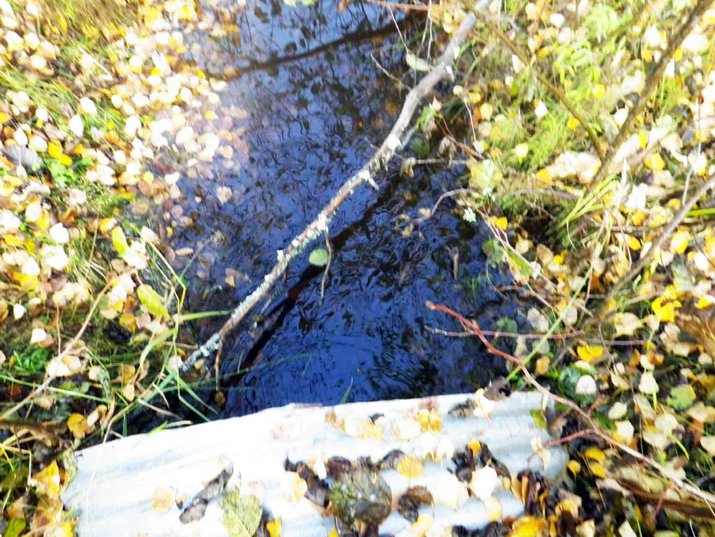
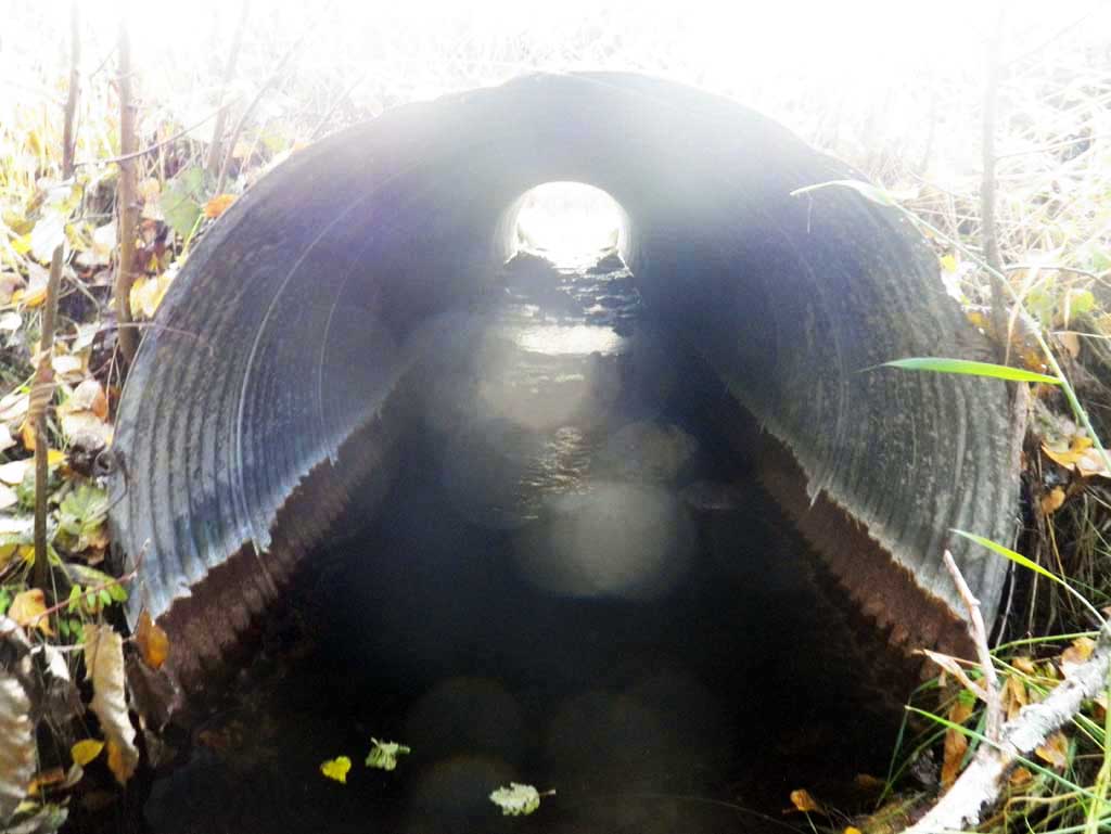
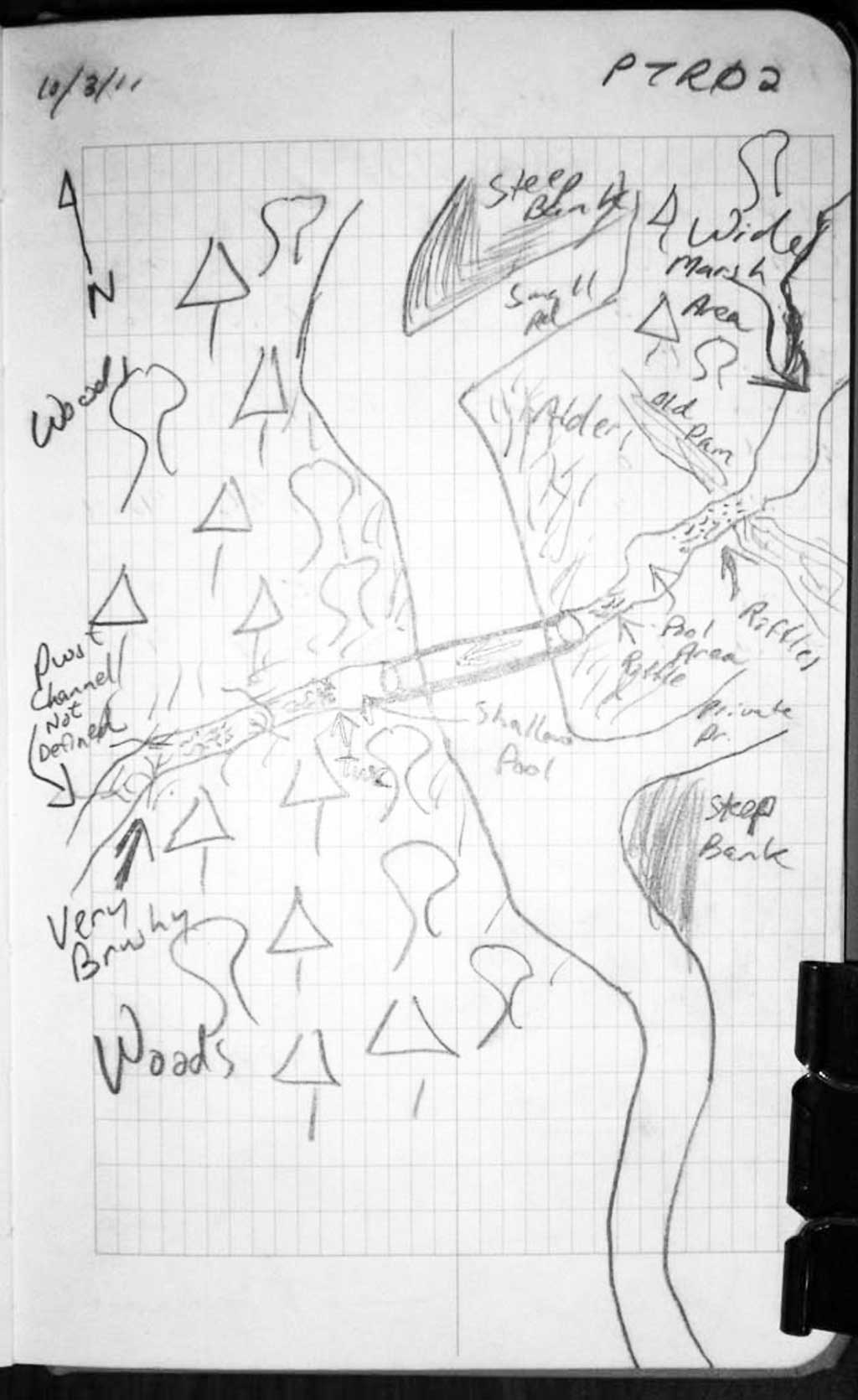
Comments: Pond about 300 feet upstream. Pipe is close to being embedded, although it just misses the 20% substrate at outlet, there is continous substrate throughout pipe. Downstream channel not well defined and overgrown with alder. Stream spreads out and braids downstream from culvert. Upstream channel looks to be an old beaver channel but there are remenats of a couple beaver dams
Culvert Measurements
| ID: 1 | Structure Type: Circular pipe (Corrugated steel) | Fish Passage Rating: | ||||||||||||||||||||||||||||||||||||||||||
|
|
|
||||||||||||||||||||||||||||||||||||||||||
Culvert Observations:
|
||||||||||||||||||||||||||||||||||||||||||||
Stream Measurements
|
|
No stream width data available.
Elevations
| Locator ID | Culvert Number |
River Distance (ft)1 |
Distance From Crossing (ft)2 |
Relative Elevation (ft) |
|---|---|---|---|---|
| Road Elev | 97.84 | |||
| D/S Thalweg | 0.00 | 92.44 | ||
| D/S Water Surface Elev | 0.00 | 92.69 | ||
| D/S Tailcrest or 1st Thalweg | 19.50 | 92.94 | ||
| D/S Water Surface Elev | 19.50 | 93.09 | ||
| D/S Water Surface Elev | 26.00 | 93.09 | ||
| Max Pool Depth | 26.00 | 92.15 | ||
| D/S Water Surface Elev | 36.00 | 93.08 | ||
| Outlet Invert | 36.00 | 92.46 | ||
| Outlet Culvert Top | 36.00 | 92.46 | ||
| Inlet Culvert Top | 69.80 | 97.02 | ||
| Inlet Culvert Invert | 69.80 | 94.01 | ||
| U/S Water Surface Elev | 69.80 | 94.22 | ||
| U/S Grade Ctrl (Thalweg) | 75.80 | 94.24 | ||
| U/S Water Surface Elev | 75.80 | 94.44 | ||
| U/S Grade Ctrl (Thalweg) | 104.80 | 94.61 | ||
| U/S Water Surface Elev | 104.80 | 94.85 | ||
| U/S Water Surface Elev | 249.80 | 95.29 |
Notes:
- River distance is measured continuously throughout the survey reach along the thalweg of the stream.
- Measured from each end of the crossing along the thalweg of the stream.
Fish Sampling Efforts
No fish sampling occurred during this survey.
Fish Observations
No fish observations occurred during this survey.
Photos
Questions or comments about this report can be directed to dfg.dsf.webmaster@alaska.gov