Fish Passage Site 20501083
Coordinates (dec. deg.): 61.57822°, -149.73013°
Legal Description: S017N003W12
Region: South Central
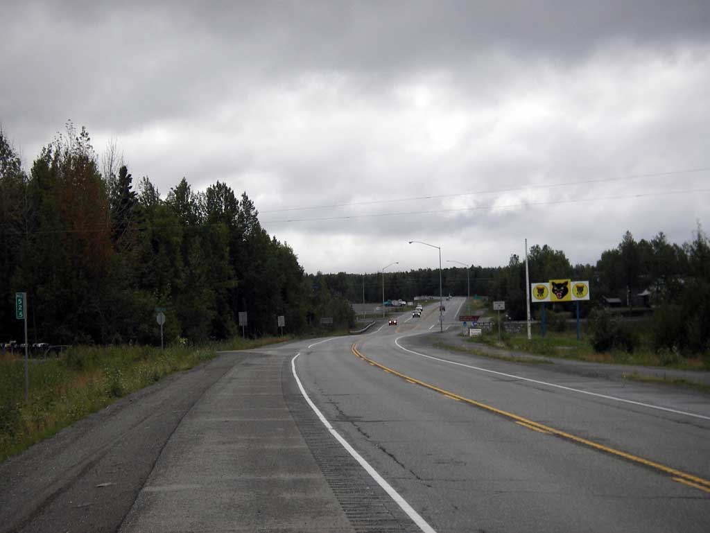
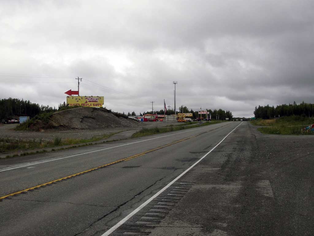
Road Name: West Parks Highway
Datum: NAD83
Quad Name / ITM: Anchorage C-8
AWC Stream #: 247-50-10330-2050-3050-4019
Stream Name: Little Meadow Creek tributary
Elevation:
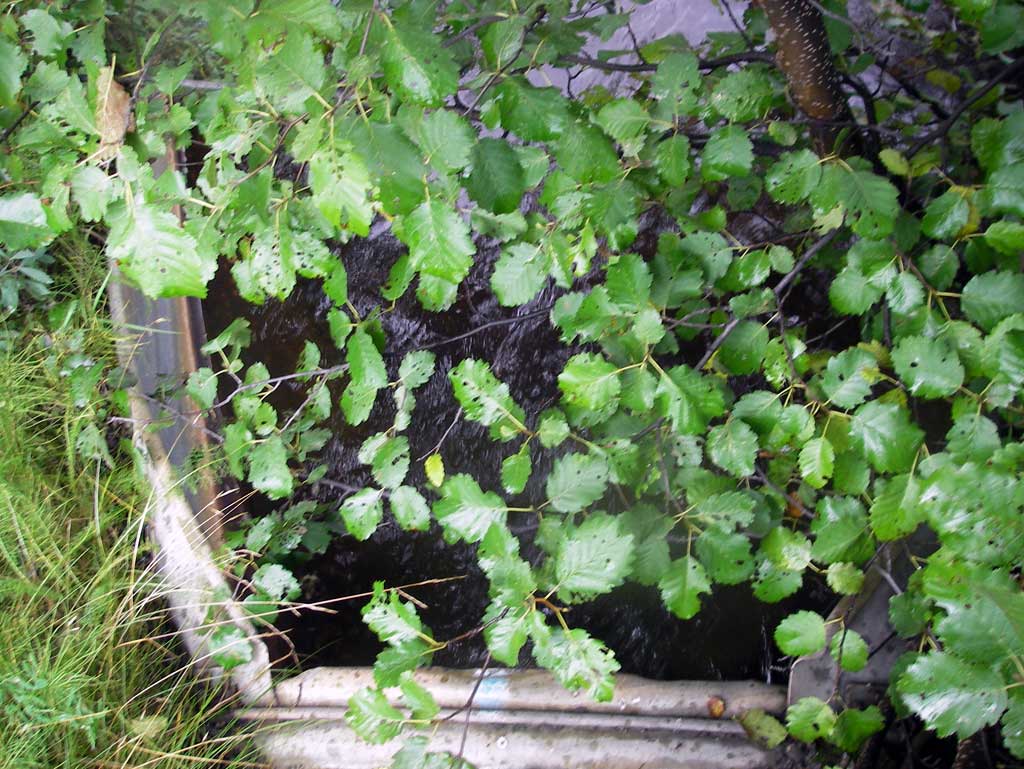
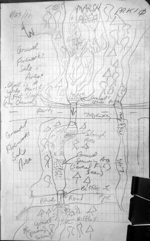
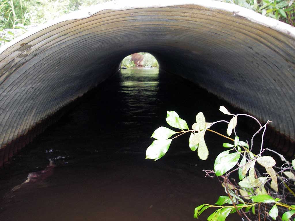
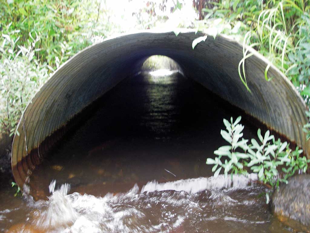
Site Comments: Another culvert approx 100' dwst which is a gravel ATV road.
arrow to the right of the survey date below to choose a different report for this site.
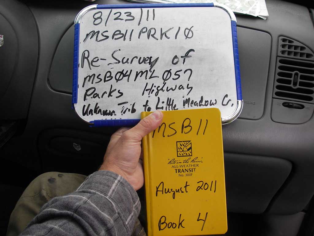
Survey MSB11-PRK10
Project Supervisor: Gillian O'Doherty, Alaska Department of Fish and Game
— Anchorage, AK
Observers: John Greuey, Abraham Gioffre
Overall Fish Passage Rating:
Tidal: No
Backwatered: No
Step Pools: No
Construction Year:
Site Observations:
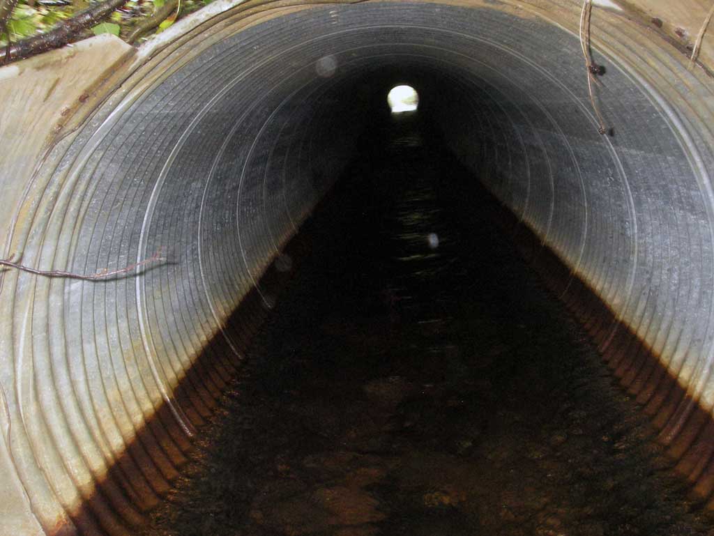
- Culvert gradient red
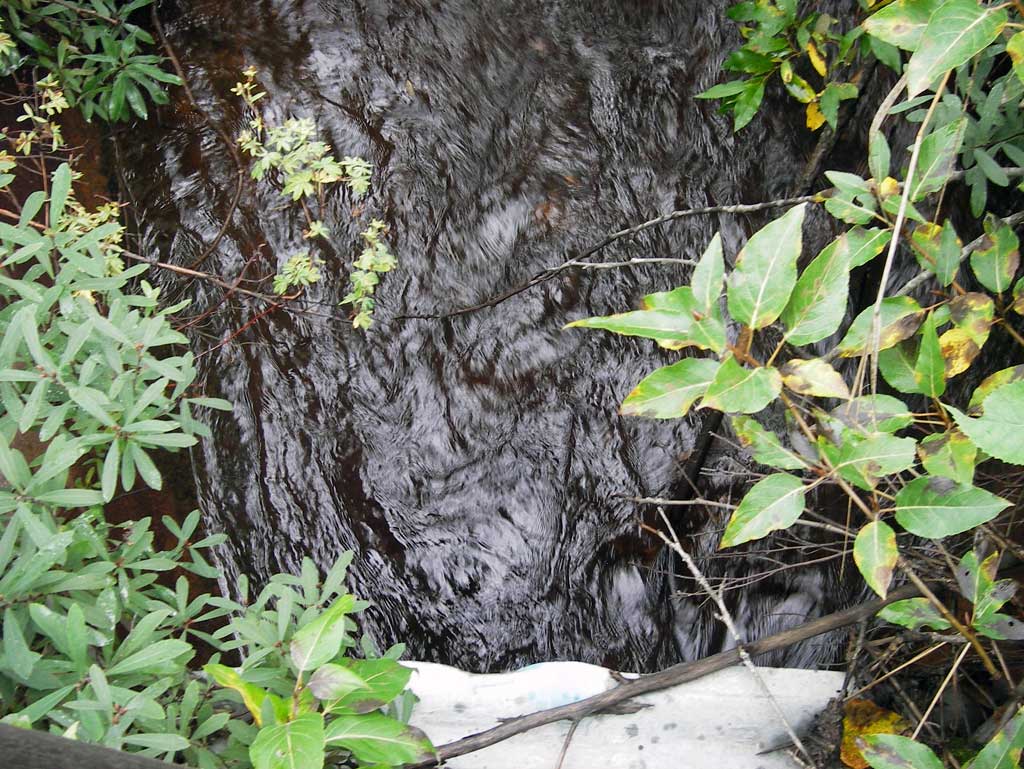
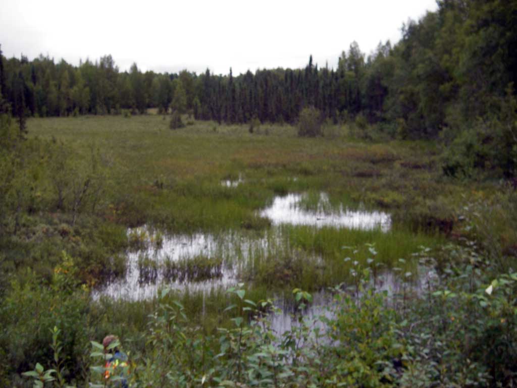
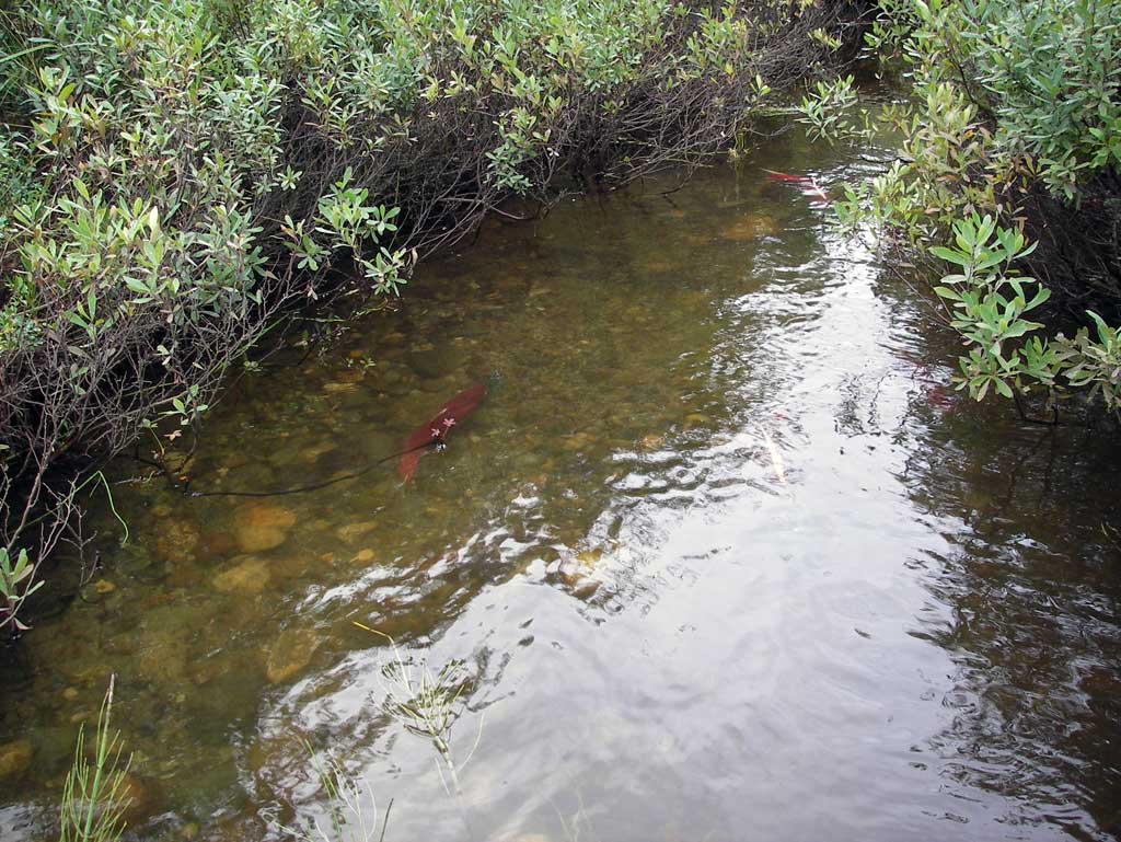
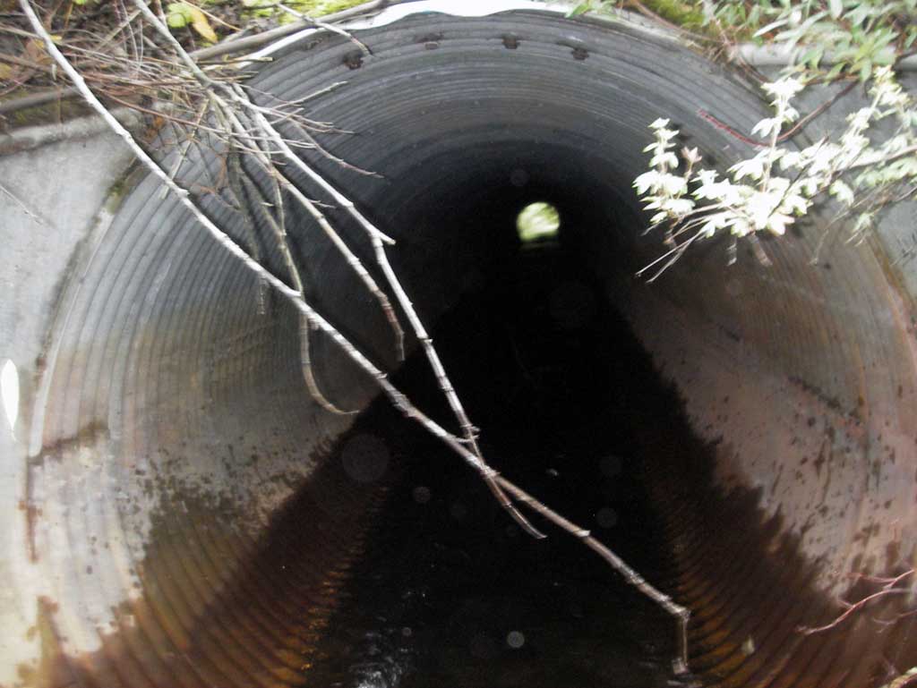
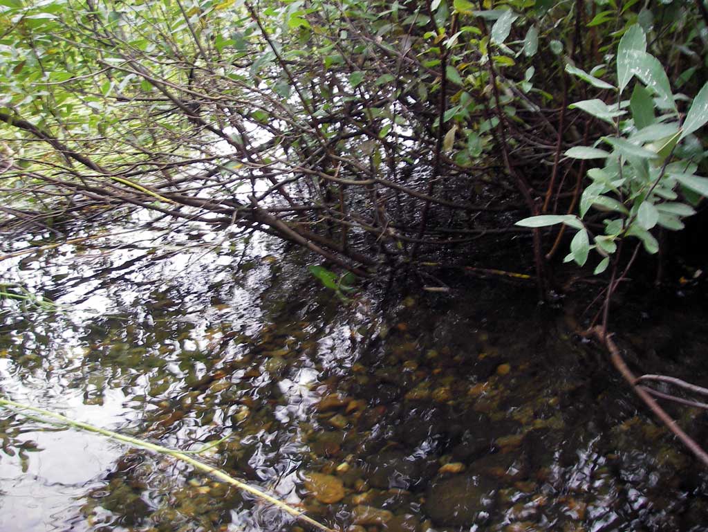
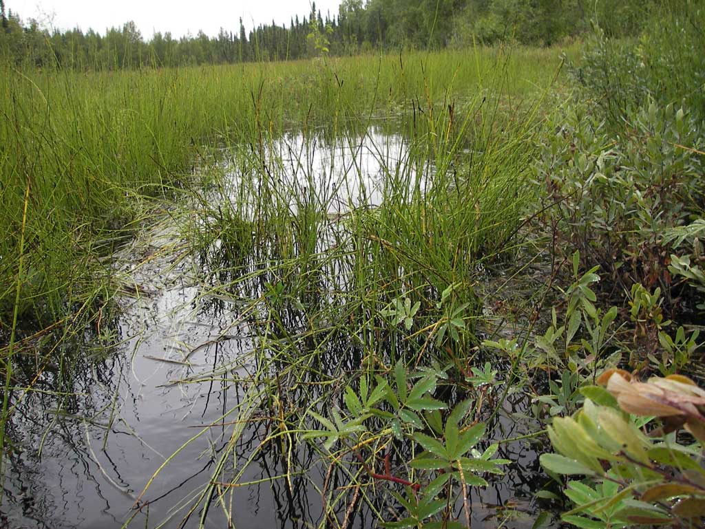
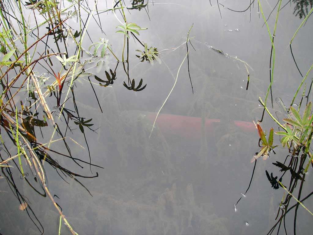
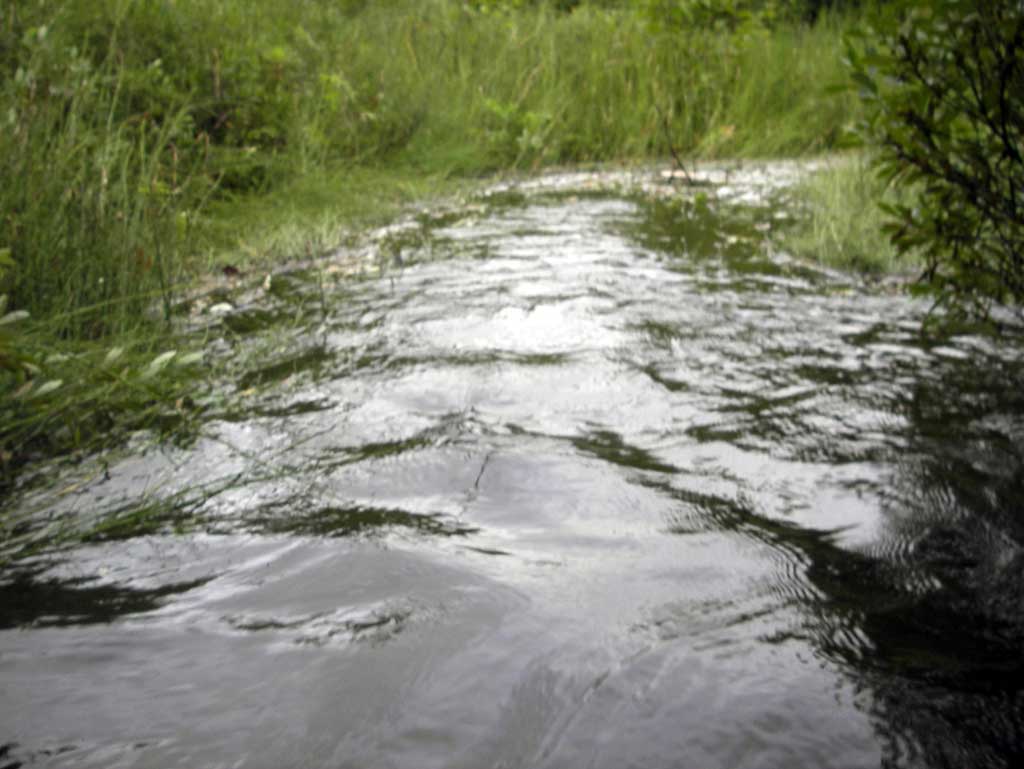
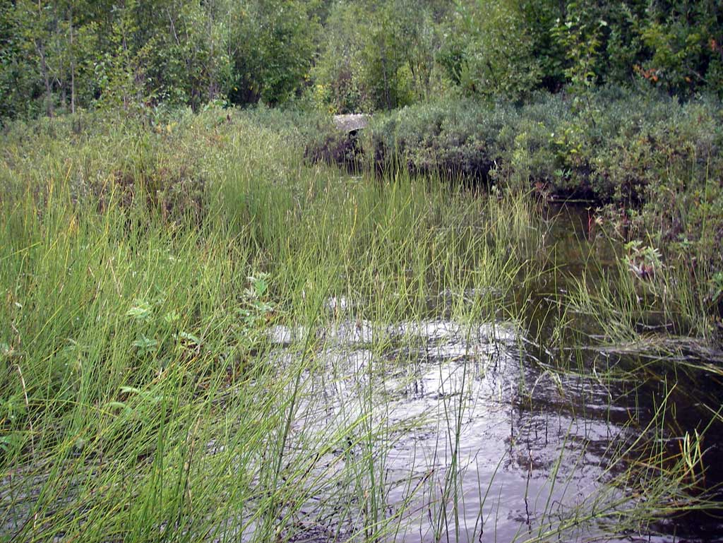
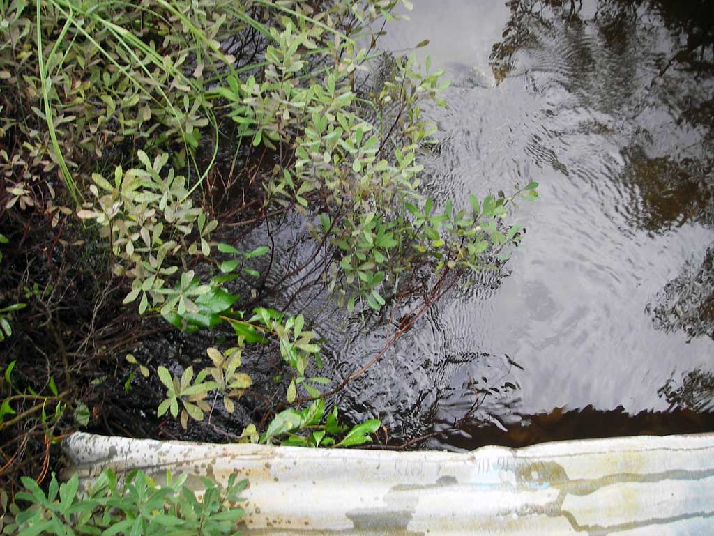
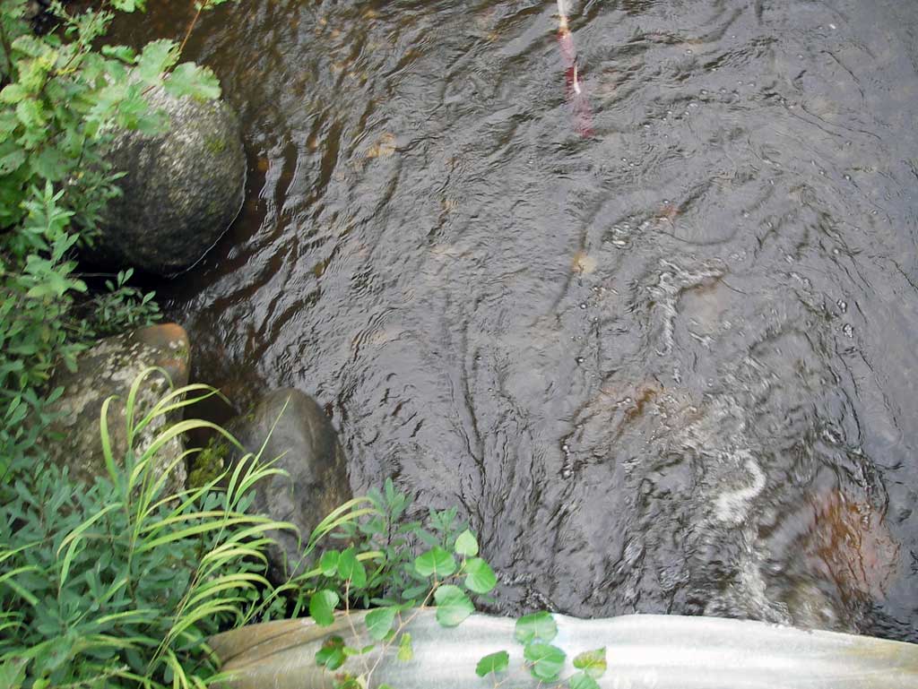
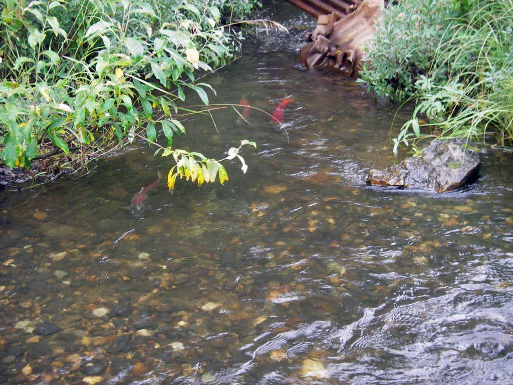
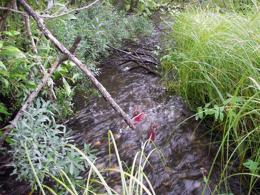
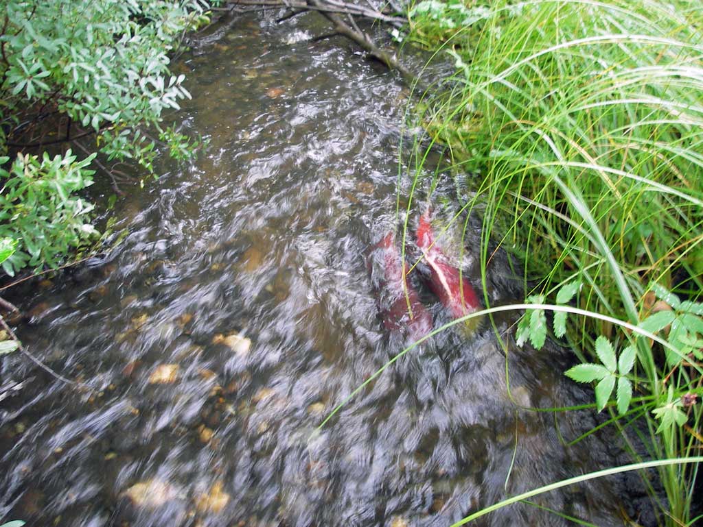
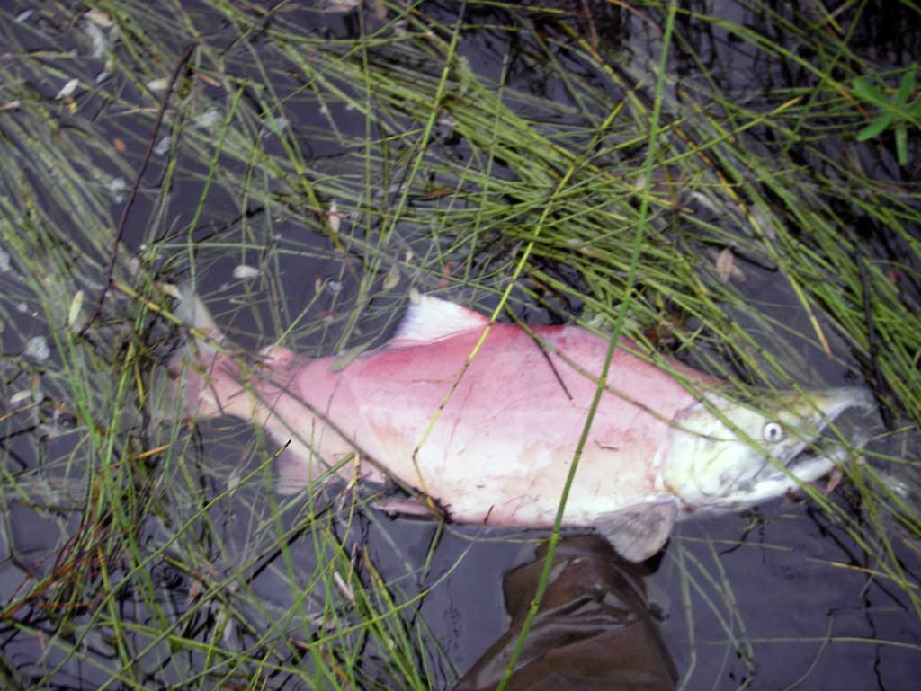
Comments: Upst area is a wide marshland with no defined channel and dwst area drains through another culvert approx 100' dwst which is a gravel ATV road. No stream widths collected as area dwst was influenced by both culverts and also no stream gradient taken for same reason. Further dwst of second culvert was very brushy so no gradient could be taken. Several adult Sockeye observed upst although they had difficulty swimming through the pipe. Fish spawning adjacent to pipe.
Culvert Measurements
| ID: 1 | Structure Type: Circular pipe (Corrugated steel) | Fish Passage Rating: | |||||||||||||||||||||||||||||||||||||||||
|
|
|
|||||||||||||||||||||||||||||||||||||||||
Culvert Observations:
|
|||||||||||||||||||||||||||||||||||||||||||
Stream Measurements
|
|
No stream width data available.
Elevations
| Locator ID | Culvert Number |
River Distance (ft)1 |
Distance From Crossing (ft)2 |
Relative Elevation (ft) |
|---|---|---|---|---|
| D/S Thalweg (profile point in pool area) | 0.00 | 87.32 | ||
| D/S Water Surface Elev | 0.00 | 88.42 | ||
| D/S Water Surface Elev | 25.00 | 88.44 | ||
| D/S Thalweg (profile point in grassy pool area) | 25.00 | 87.30 | ||
| D/S Water Surface Elev (End of apron water surface) | 50.00 | 88.46 | ||
| Misc. (Outlet end of apron invert) | 50.00 | 87.65 | ||
| Outlet Invert (on substrate) | 57.00 | 87.50 | ||
| D/S Water Surface Elev (outlet water surface) | 57.00 | 88.46 | ||
| Outlet Culvert Top | 57.00 | 91.50 | ||
| Road Elev | 107.00 | 100.00 | ||
| Inlet Culvert Top | 181.50 | 93.30 | ||
| U/S Water Surface Elev (Inlet water surface) | 181.50 | 89.80 | ||
| Inlet Culvert Invert (on pipe) | 181.50 | 89.31 | ||
| Misc. (End of apron inlet invert) | 188.50 | 89.76 | ||
| U/S Water Surface Elev | 188.50 | 89.98 | ||
| U/S Water Surface Elev (Upst pool water surface elevation) | 206.50 | 90.03 | ||
| U/S Thalweg (Upst pool substrate) | 206.50 | 87.84 |
Notes:
- River distance is measured continuously throughout the survey reach along the thalweg of the stream.
- Measured from each end of the crossing along the thalweg of the stream.
Fish Sampling Efforts
| Gear Type: Visual Observation, Ground (A) | ||
| Comments: Several spawning sockeye observed upst and dwst. | ||
Fish Observations
| Species: adult spawning sockeye salmon | Life History: Anadromous | ||
| Total Fish Observed: 5 | Fish Measured: | Fork Lengths (mm) Min: Max: Mean: | |
| Collected/Observed by Gear Type: Upstream Visual Observation, Ground (5) | |||
Photos
Questions or comments about this report can be directed to dfg.dsf.webmaster@alaska.gov