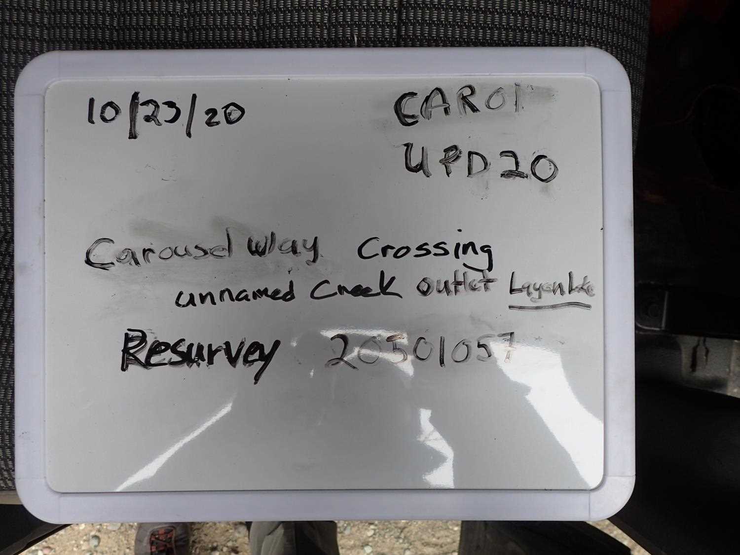
Fish Passage Site 20501057
Coordinates (dec. deg.): 61.59937°, -149.69269°
Legal Description: S017N002W06
Region: South Central
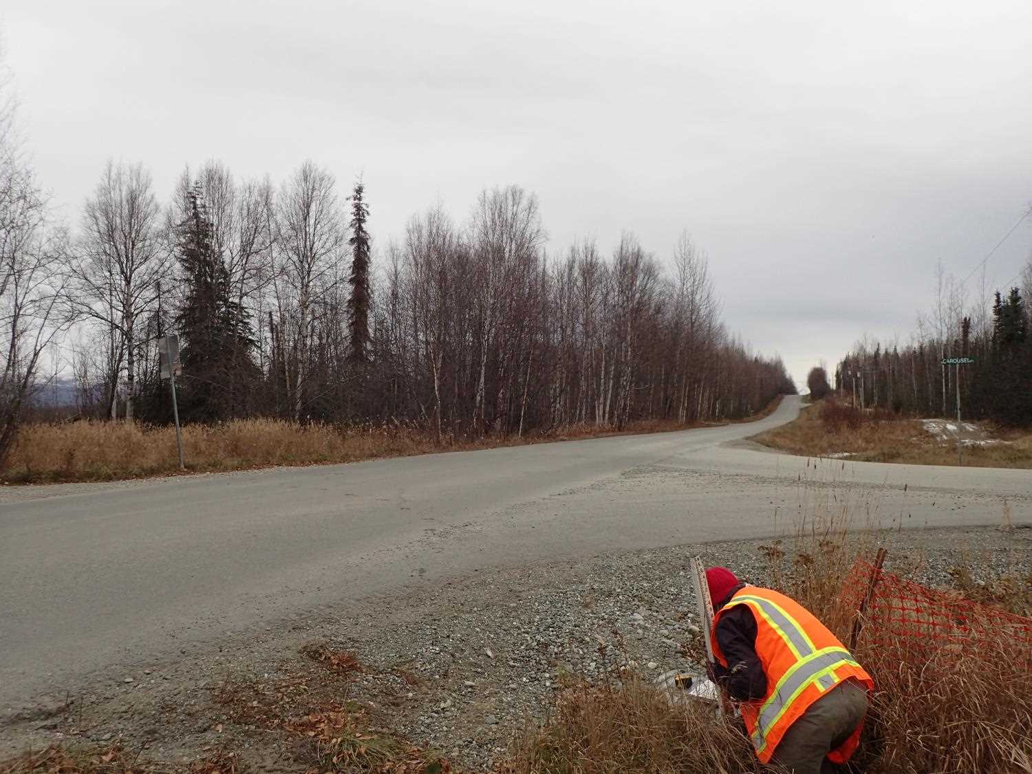
Road Name: Carousel Way
Datum: NAD83
Quad Name / ITM: Anchorage C-8
AWC Stream #:
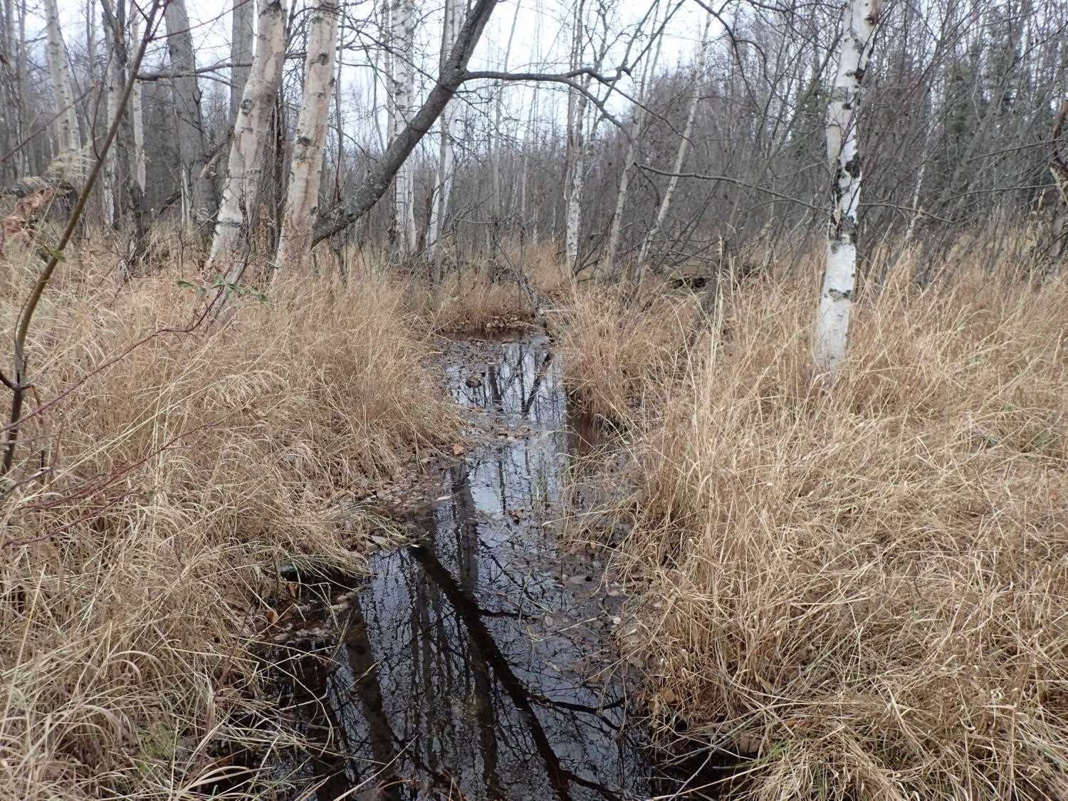
Stream Name: Layen Lake Drainage
Elevation:
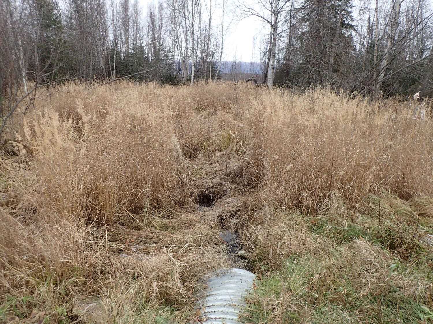
Site Comments: Crossing at junction of Carousel Way and Skyview Drive. Site 20501056 upstream on ATV trail at outlet of Layen Lake.
arrow to the right of the survey date below to choose a different report for this site.
Survey UPD20-CAR01
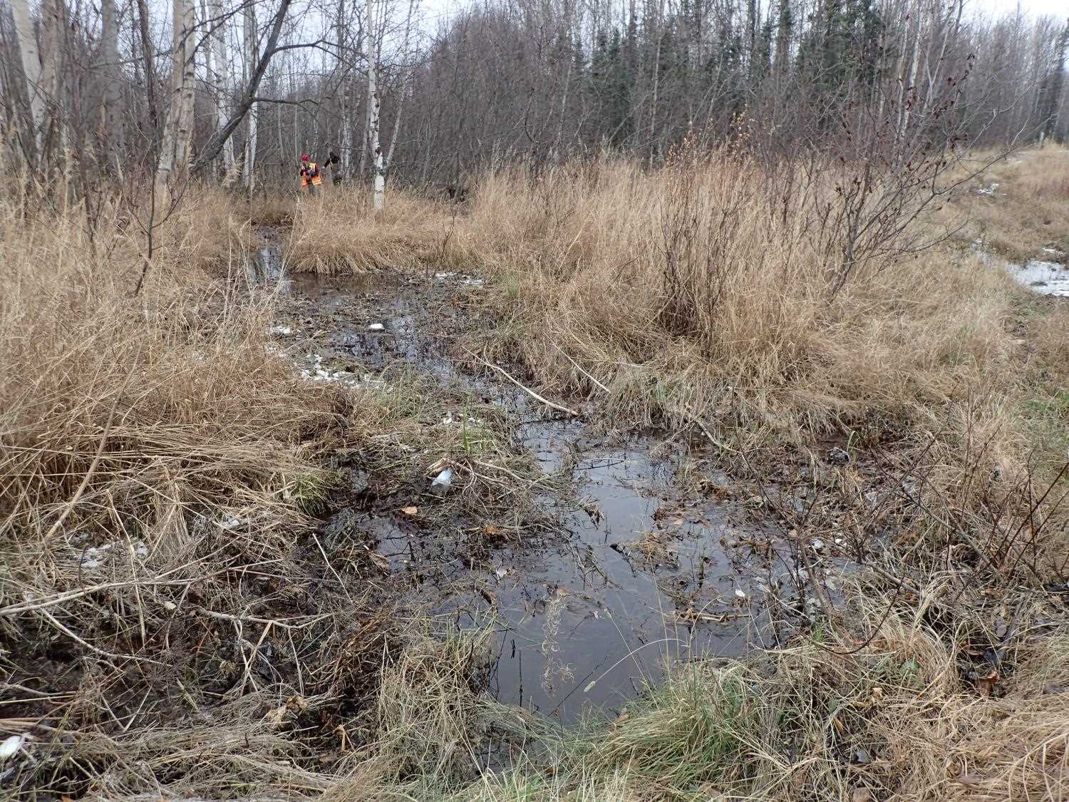
Project Supervisor: Gillian O'Doherty, Alaska Department of Fish and Game
— Anchorage, AK
Observers: Gillian O'Doherty, Kim Clark, Michael Mazzacavallo
Overall Fish Passage Rating:
Tidal: No
Backwatered: No
Step Pools: No
Construction Year:
Site Observations:
- Constriction ratio gray
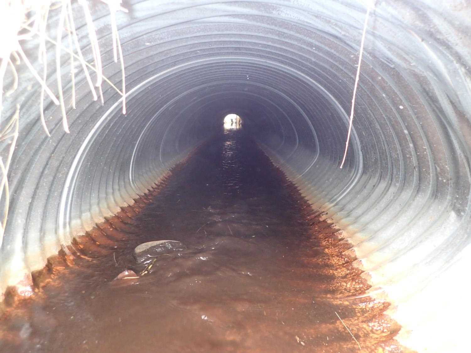
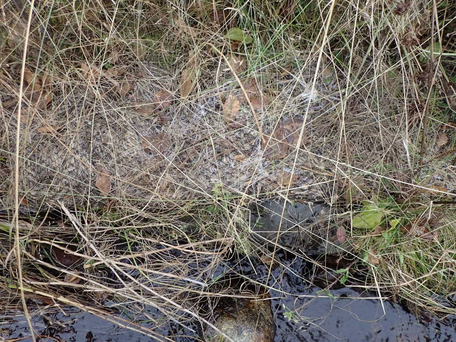
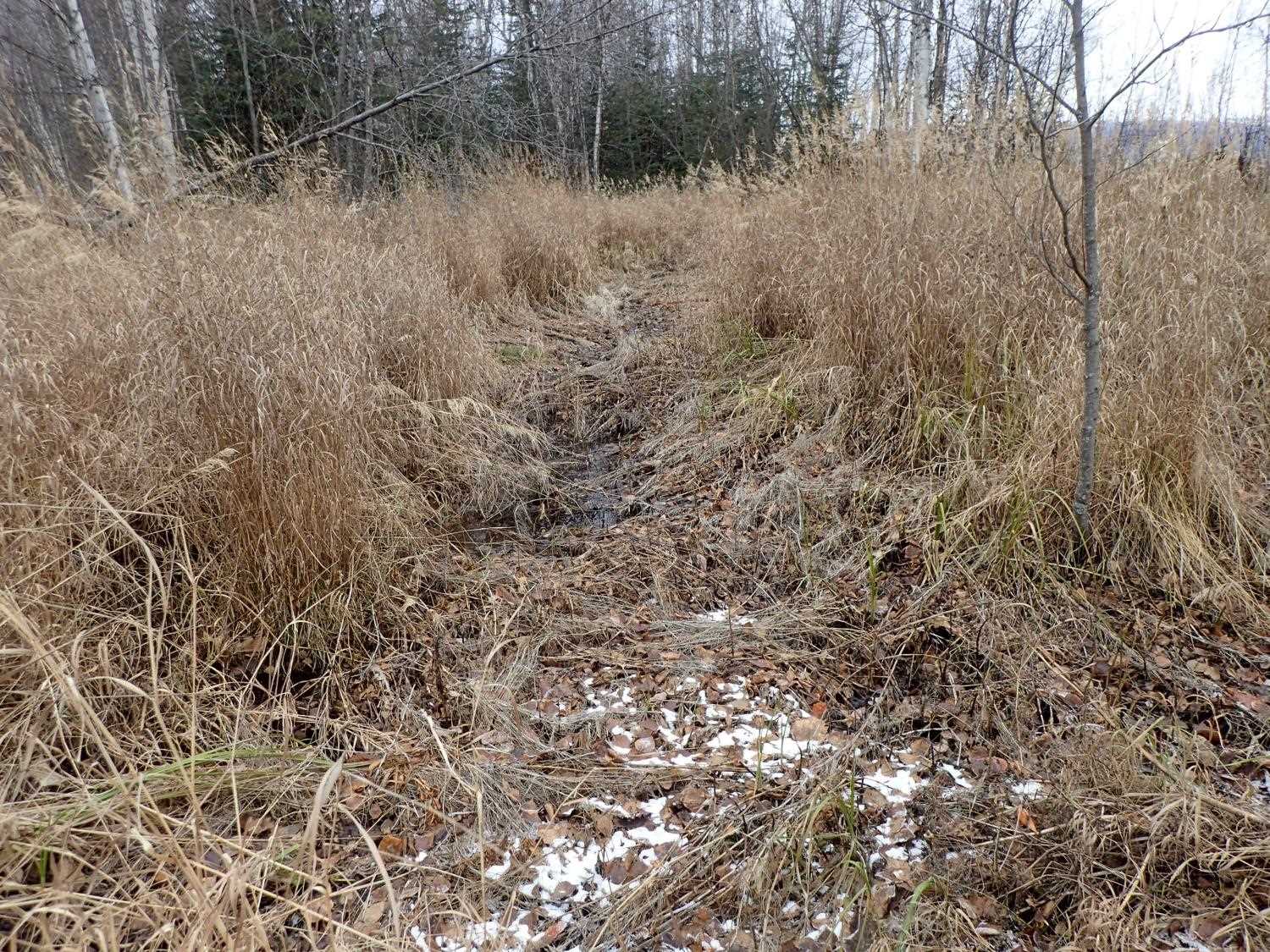
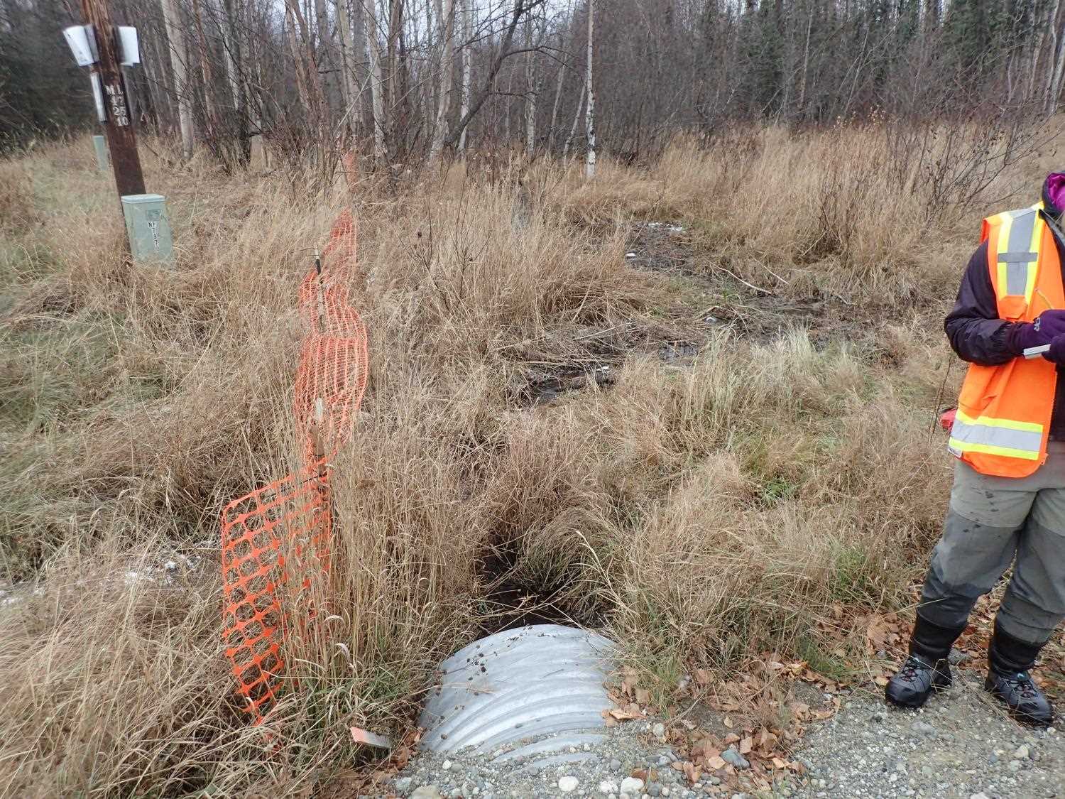
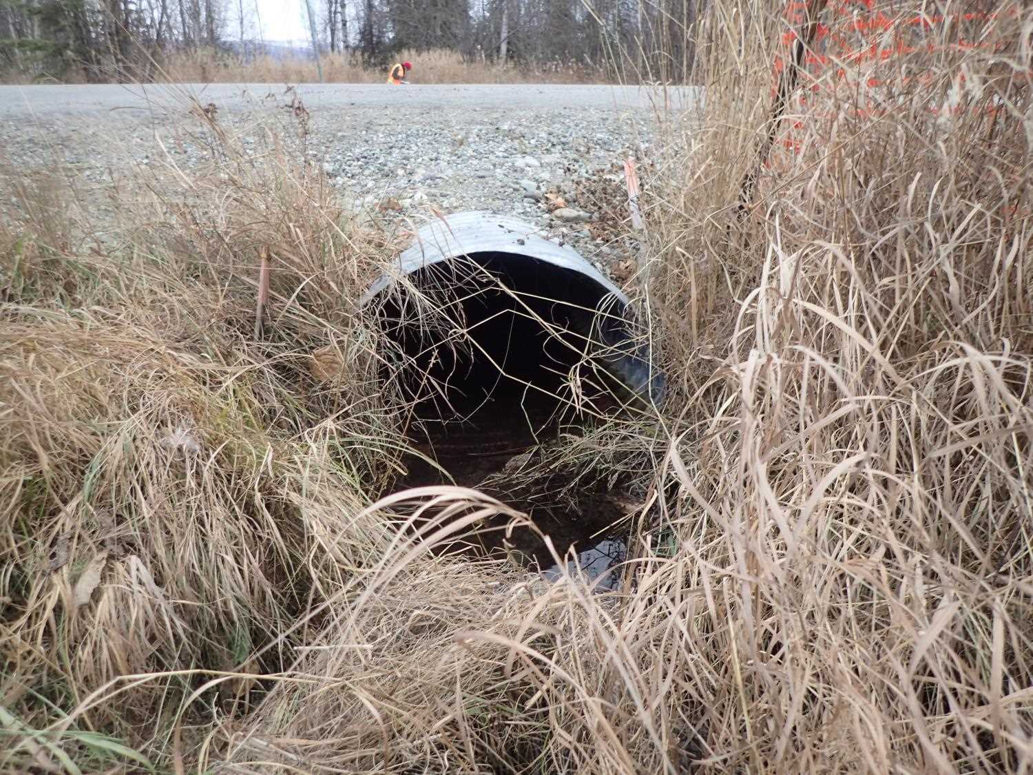
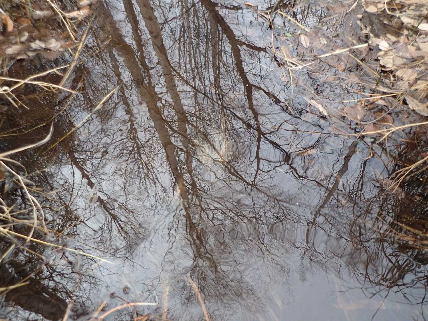
Comments: Culvert is creating backwater on inlet side. Straw wattles left at inlet and outlet after construction. One culvert is present between this one and lake outlet upstream-s under an ATV trail. Dense grass is present. Some ATV/snow machine traffic use adjacent to the stream near/at outlet. Silt fence is up between the creek and Carousel Way. Possibly undersized. Not much of a defined channel above or below. Ordinary High Water measurements taken upstream where the channel had some definition.
Culvert Measurements
| ID: 1 | Structure Type: Pipe-arch (Corrugated steel) | Fish Passage Rating: | |||||||||||||||||||||||||||||||||||||||||
|
|
|
|||||||||||||||||||||||||||||||||||||||||
Culvert Observations:
|
|||||||||||||||||||||||||||||||||||||||||||
Stream Measurements
|
|
No stream width data available.
Elevations
| Locator ID | Culvert Number |
River Distance (ft)1 |
Distance From Crossing (ft)2 |
Relative Elevation (ft) |
|---|---|---|---|---|
| D/S Thalweg | 0.00 | 98.00 | ||
| D/S Water Surface Elev | 0.00 | 98.20 | ||
| Inlet Culvert Invert (on pipe) | 4.00 | 98.02 | ||
| U/S Water Surface Elev | 4.00 | 98.19 | ||
| Top of Pipe Inlet | 4.00 | 100.11 | ||
| Outlet Culvert Top | 66.30 | 99.60 | ||
| Outlet Invert (on pipe) | 66.30 | 97.55 | ||
| D/S Water Surface Elev | 66.30 | 97.97 | ||
| D/S Thalweg (on mud; soft mud is 2 ft deep) | 81.30 | 97.03 | ||
| D/S Water Surface Elev | 81.30 | 97.42 |
Notes:
- River distance is measured continuously throughout the survey reach along the thalweg of the stream.
- Measured from each end of the crossing along the thalweg of the stream.
Fish Sampling Efforts
No fish sampling occurred during this survey.
Fish Observations
No fish observations occurred during this survey.
Photos


Questions or comments about this report can be directed to dfg.dsf.webmaster@alaska.gov