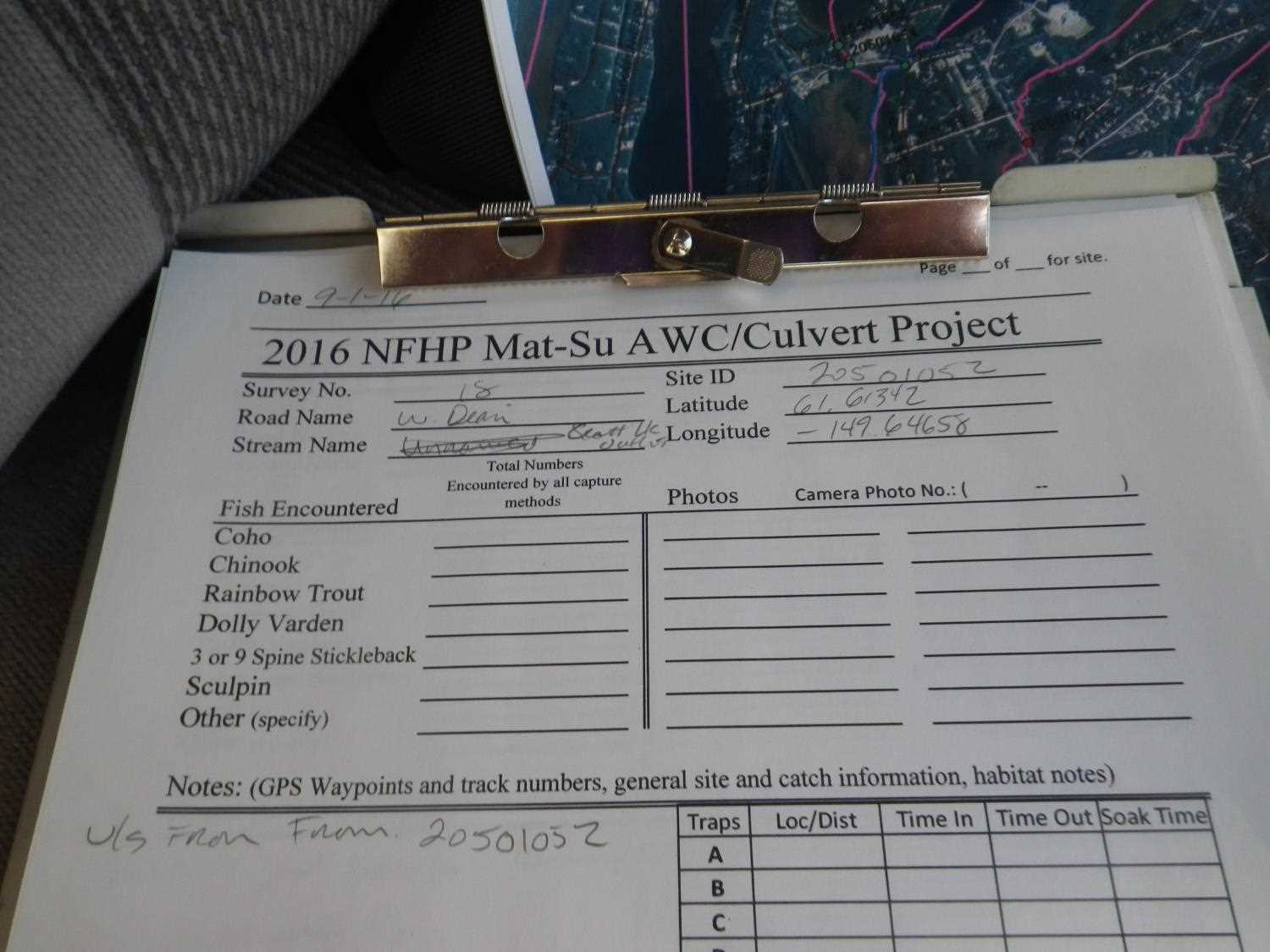
Fish Passage Site 20501052
Coordinates (dec. deg.): 61.61350°, -149.64656°
Legal Description: S018N002W33
Region: South Central
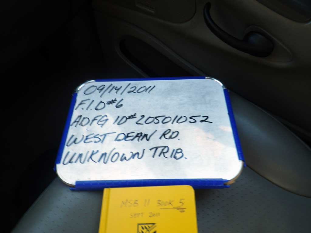
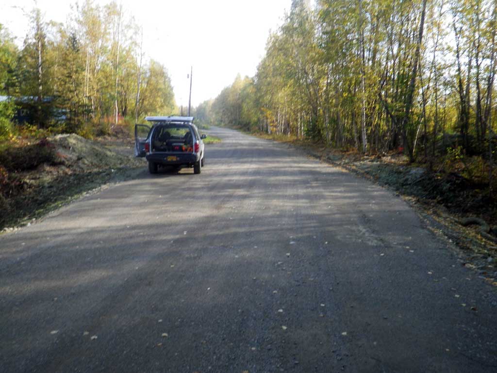
Road Name: West Dean Road
Datum: NAD83
Quad Name / ITM: Anchorage C-8
AWC Stream #:
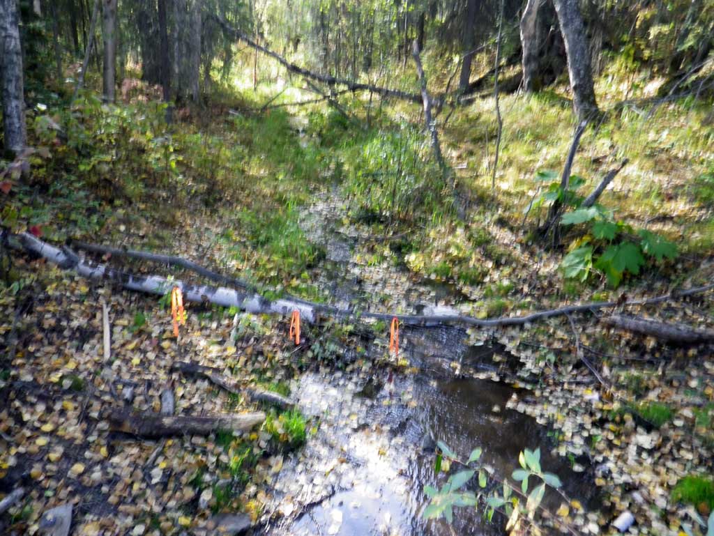
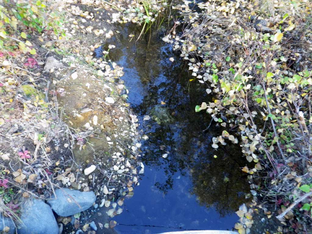
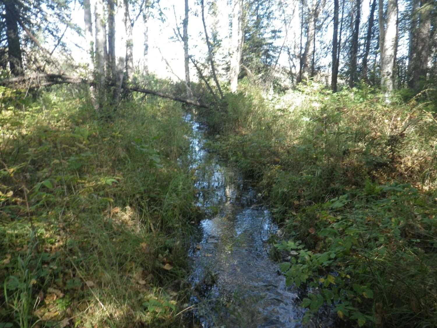
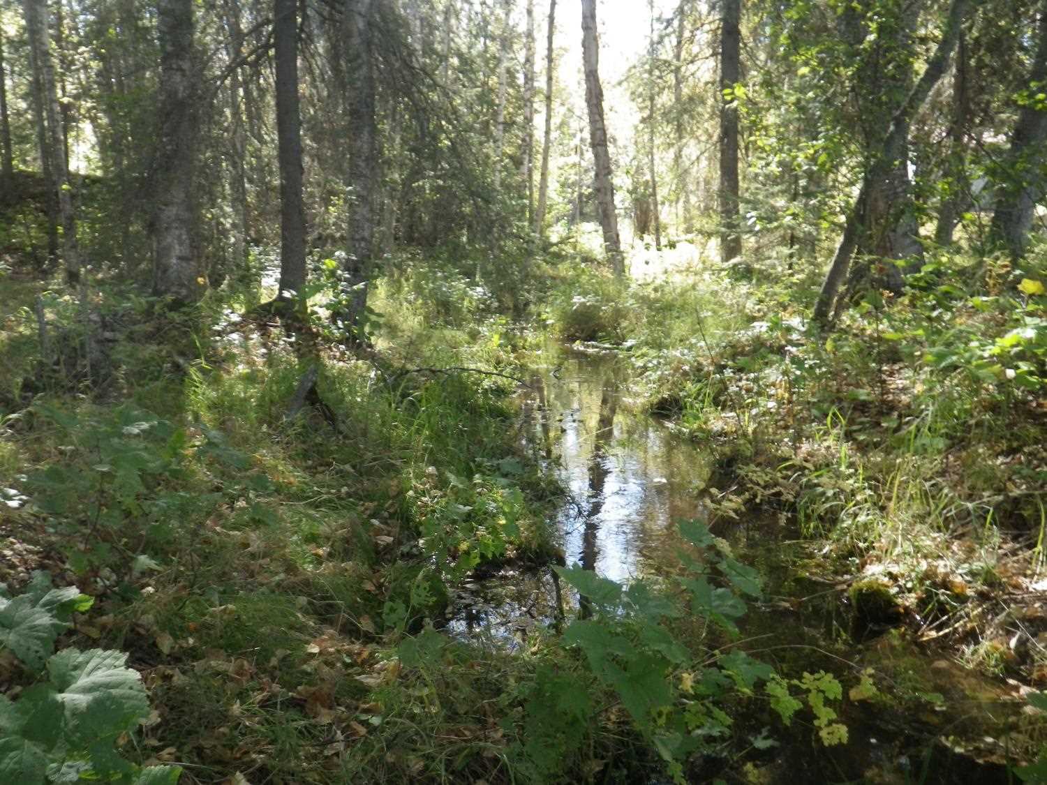
Stream Name: Scott Lake Outlet
Elevation:
Site Comments: None
arrow to the right of the survey date below to choose a different report for this site.
Survey MSB11-WDR01
Project Supervisor: Gillian O'Doherty, Alaska Department of Fish and Game
— Anchorage, AK
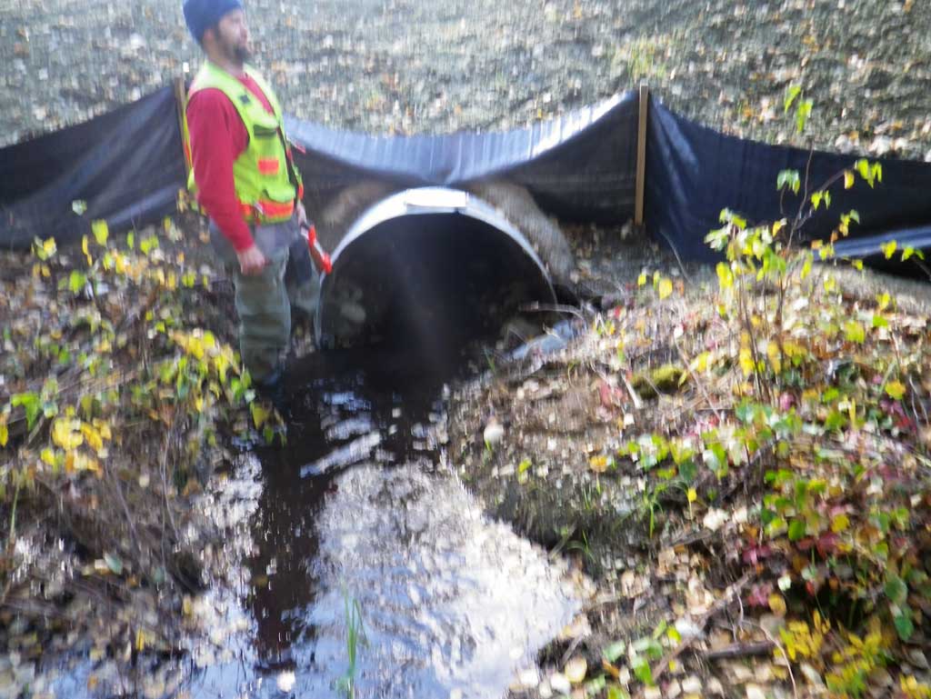
Observers: Abraham Gioffre, Jim Latham
Overall Fish Passage Rating:
Tidal: No
Backwatered: No
Step Pools: No
Construction Year: 2011
Site Observations:
- None of this type
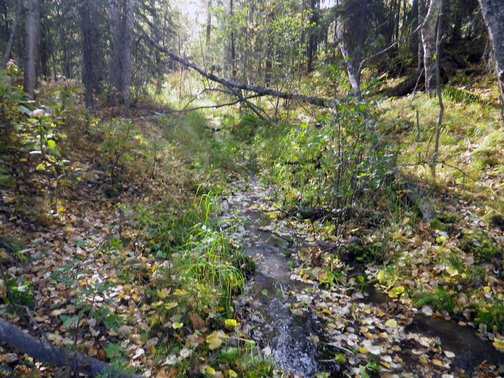
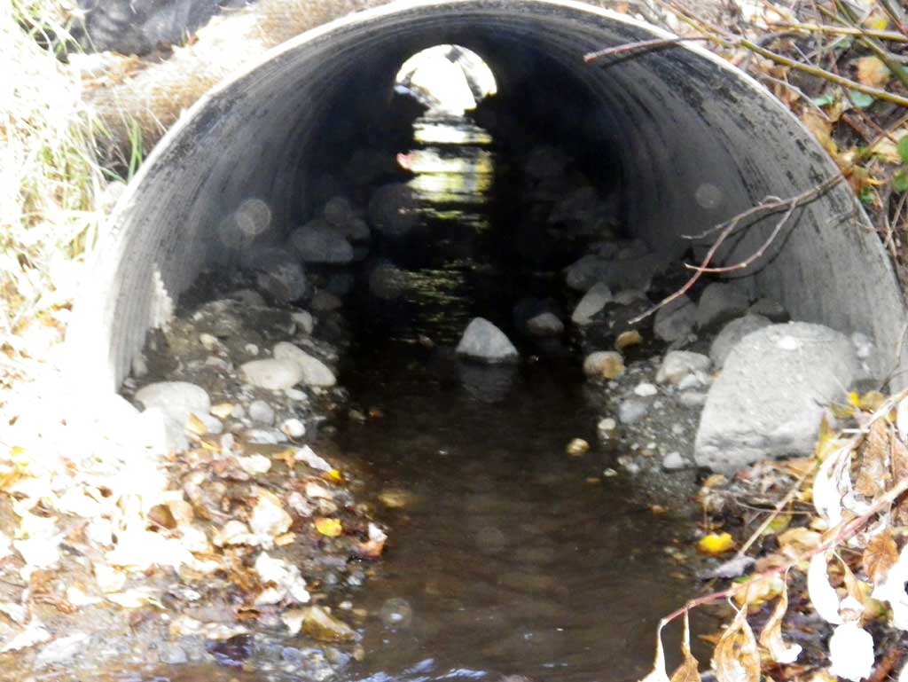
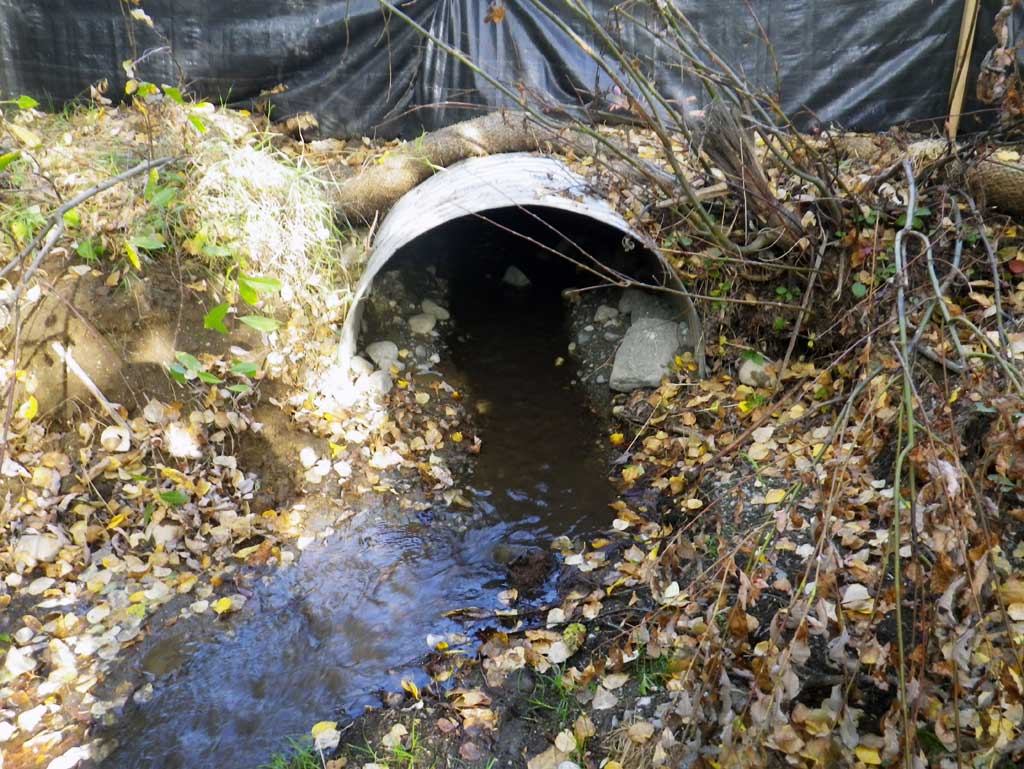
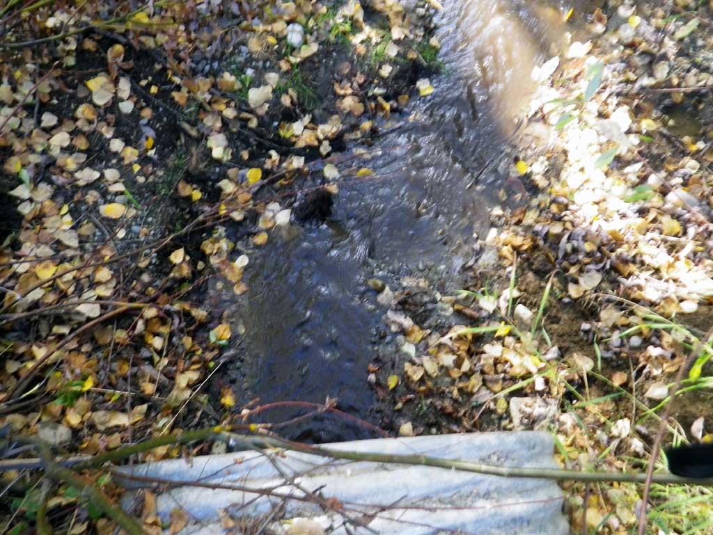
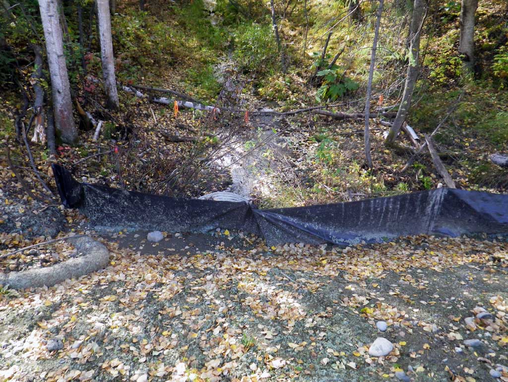
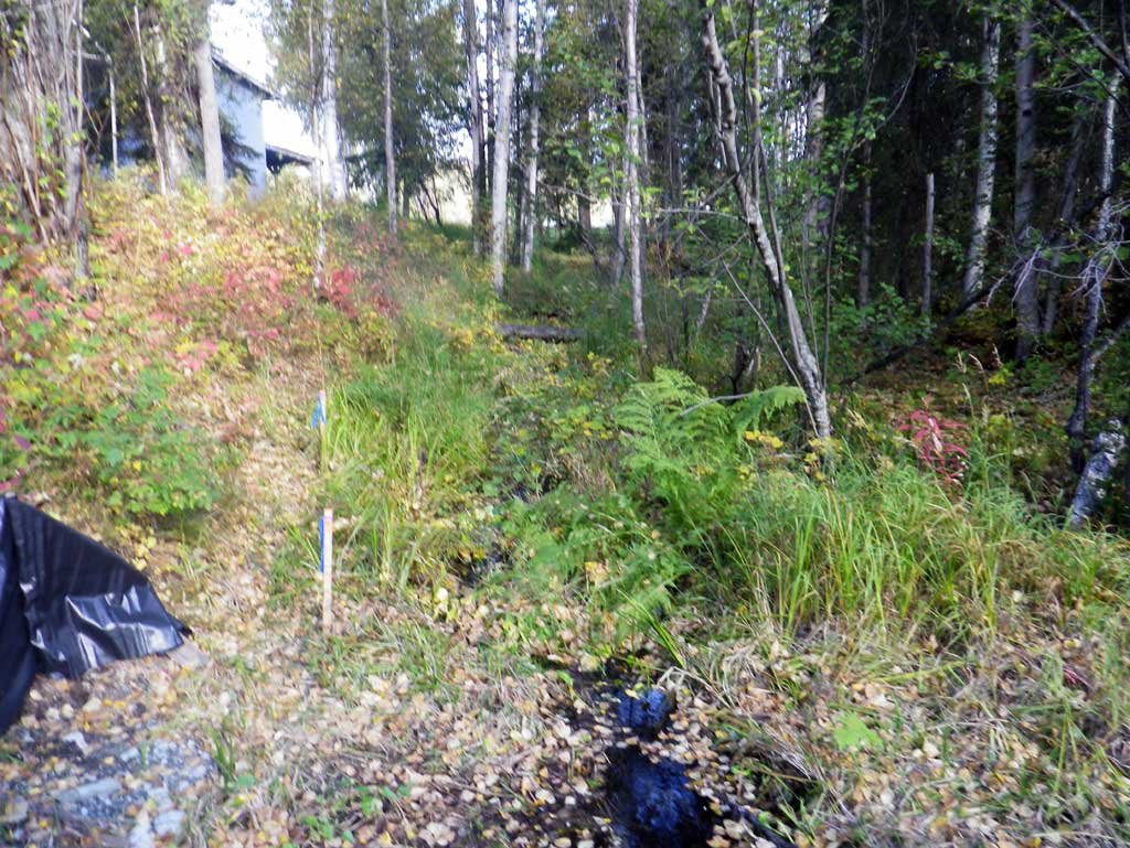
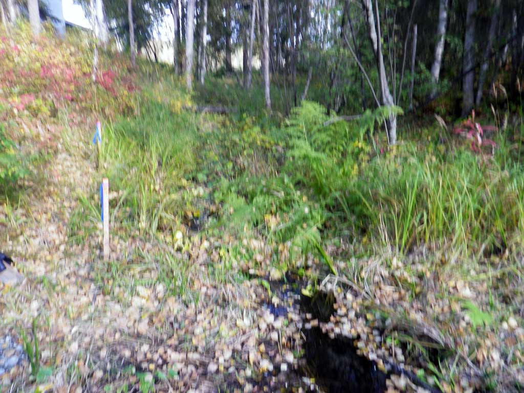
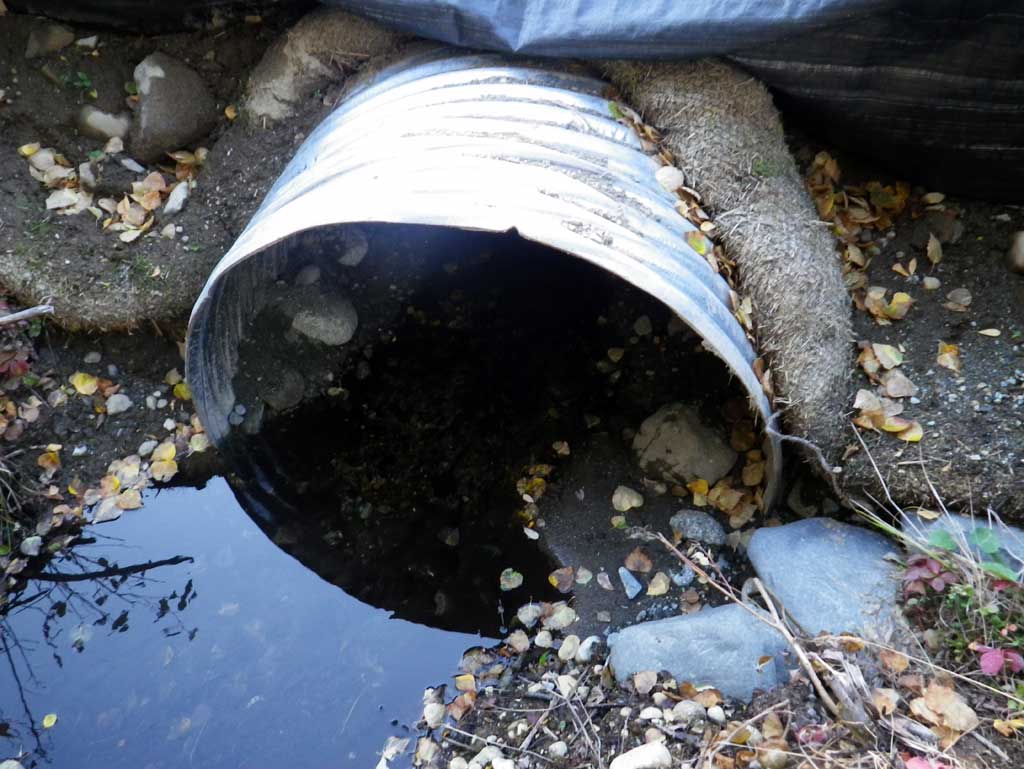
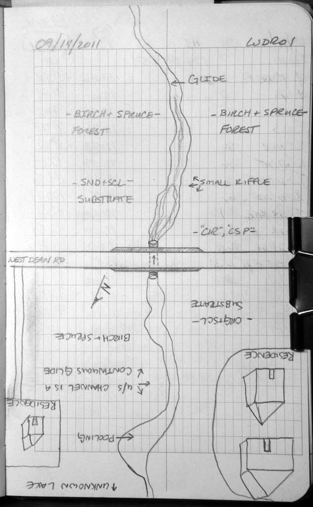
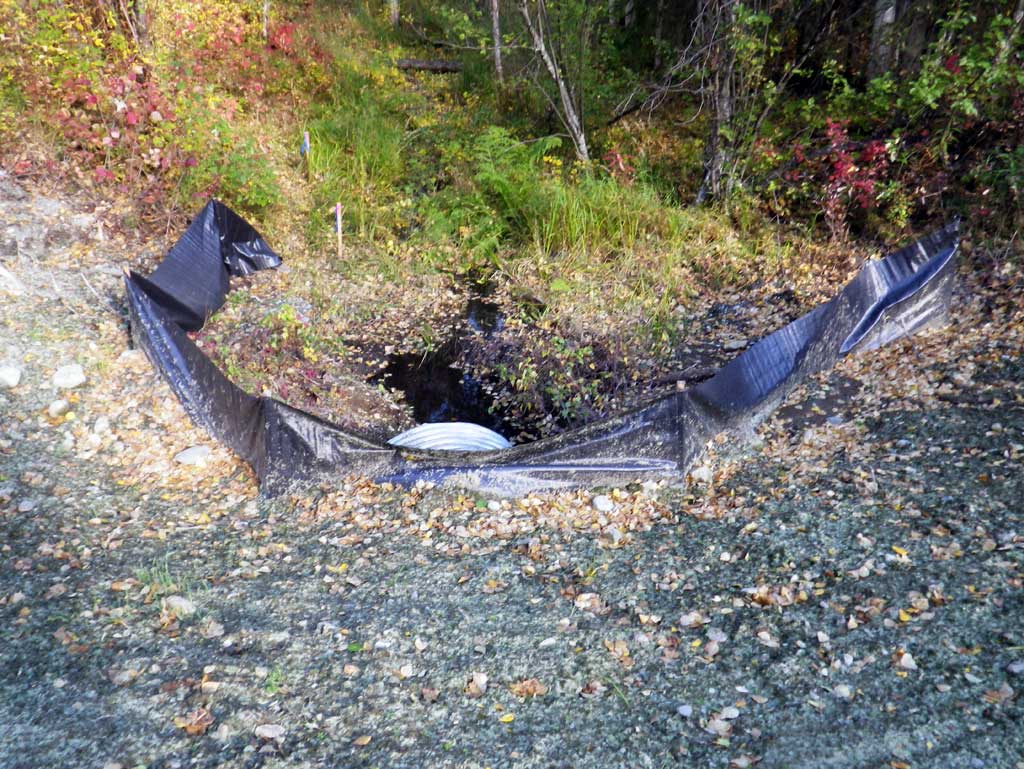
Comments: Updated site photos and fish capture information from 9/1/16 site visit for Sampling Unmapped Streams in the MSB project. Replaced in 2011. Dowstream area is a bog with a somewhat defined channel and an upstream area with an undefined shallow ponded area. Stream channel is low gradient with some lilly pads present.
Culvert Measurements
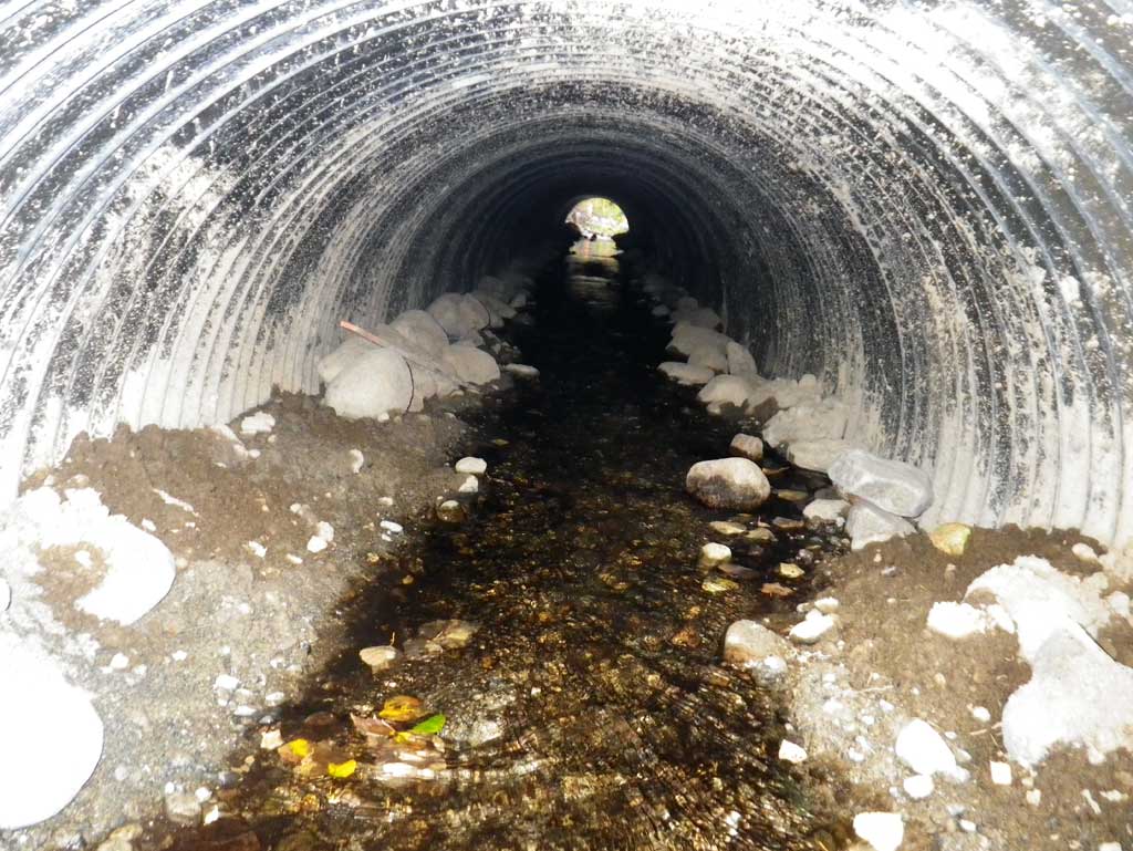
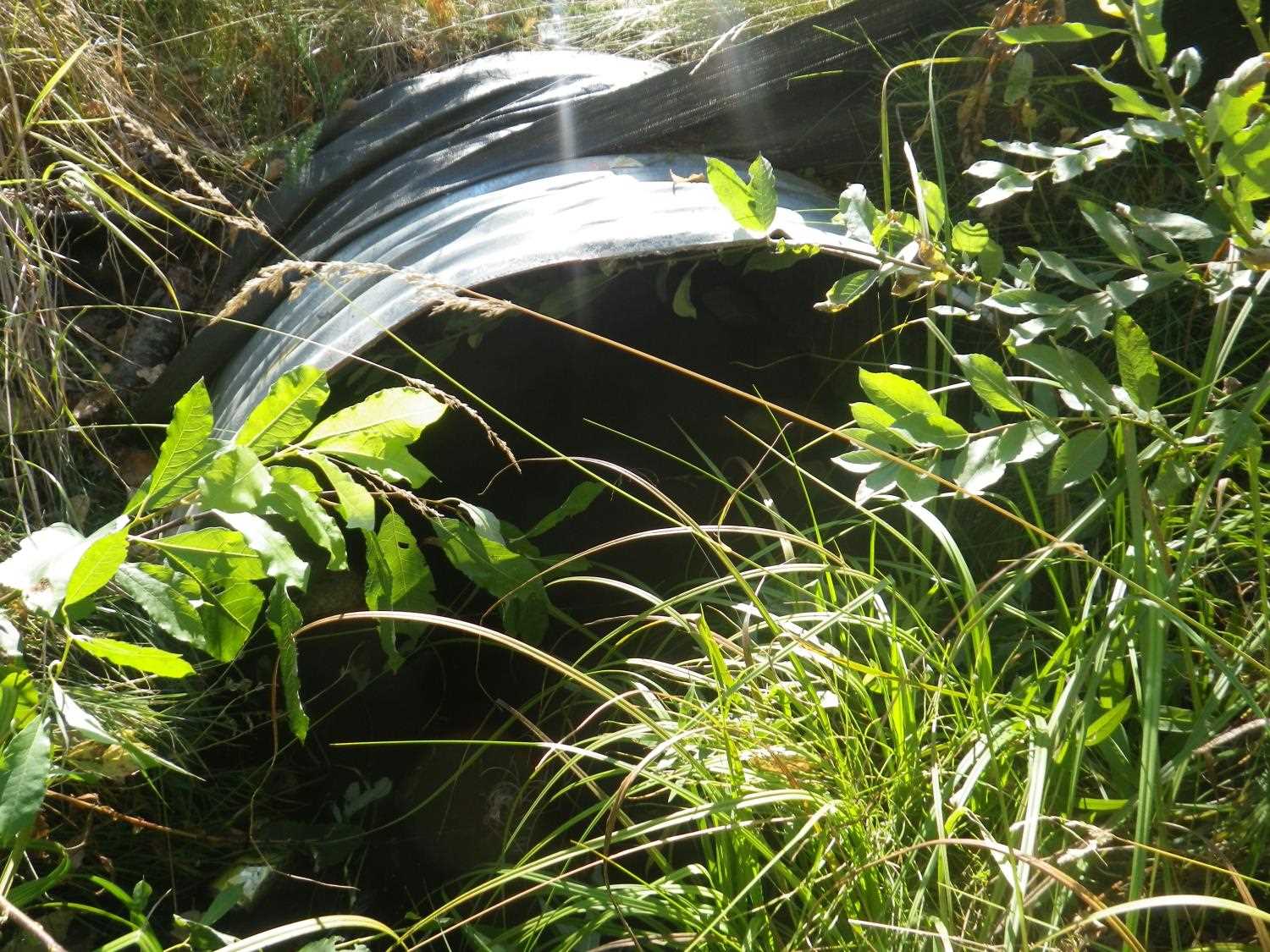
| ID: 1 | Structure Type: Circular pipe (Corrugated steel) | Fish Passage Rating: | ||||||||||||||||||||||||||||||||||||||||||
|
|
|
||||||||||||||||||||||||||||||||||||||||||
Culvert Observations:
|
||||||||||||||||||||||||||||||||||||||||||||
Stream Measurements
|
|
| Stream Width Type | Distance From Crossing (ft) |
Stream Width (ft) |
|---|---|---|
| Upstream ordinary high water | 66.0 | 4.60 |
| Upstream ordinary high water | 120.0 | 4.60 |
| Upstream ordinary high water | 165.0 | 4.00 |
Elevations
| Locator ID | Culvert Number |
River Distance (ft)1 |
Distance From Crossing (ft)2 |
Relative Elevation (ft) |
|---|---|---|---|---|
| D/S Thalweg (profile pt) | 0.00 | 91.08 | ||
| D/S Water Surface Elev | 0.00 | 91.44 | ||
| D/S Tailcrest or 1st Thalweg (tailwater control) | 13.00 | 91.58 | ||
| D/S Water Surface Elev | 13.00 | 91.78 | ||
| Outlet Invert (invert on substrate) | 36.00 | 91.81 | ||
| D/S Water Surface Elev (outlet water surface) | 36.00 | 92.04 | ||
| Top of Pipe Outlet | 36.00 | 94.36 | ||
| Road Elev | 66.00 | 100.48 | ||
| Inlet Culvert Top | 96.10 | 94.94 | ||
| Inlet Culvert Invert (invert on substrate) | 96.10 | 92.31 | ||
| U/S Water Surface Elev (inlet water surface) | 96.10 | 92.54 | ||
| U/S Water Surface Elev | 105.10 | 92.54 | ||
| U/S Thalweg (profile pt) | 105.10 | 91.61 | ||
| U/S Water Surface Elev (water surface for gradient) | 118.10 | 92.76 | ||
| U/S Water Surface Elev (water surface for gradient) | 244.10 | 93.12 |
Notes:
- River distance is measured continuously throughout the survey reach along the thalweg of the stream.
- Measured from each end of the crossing along the thalweg of the stream.
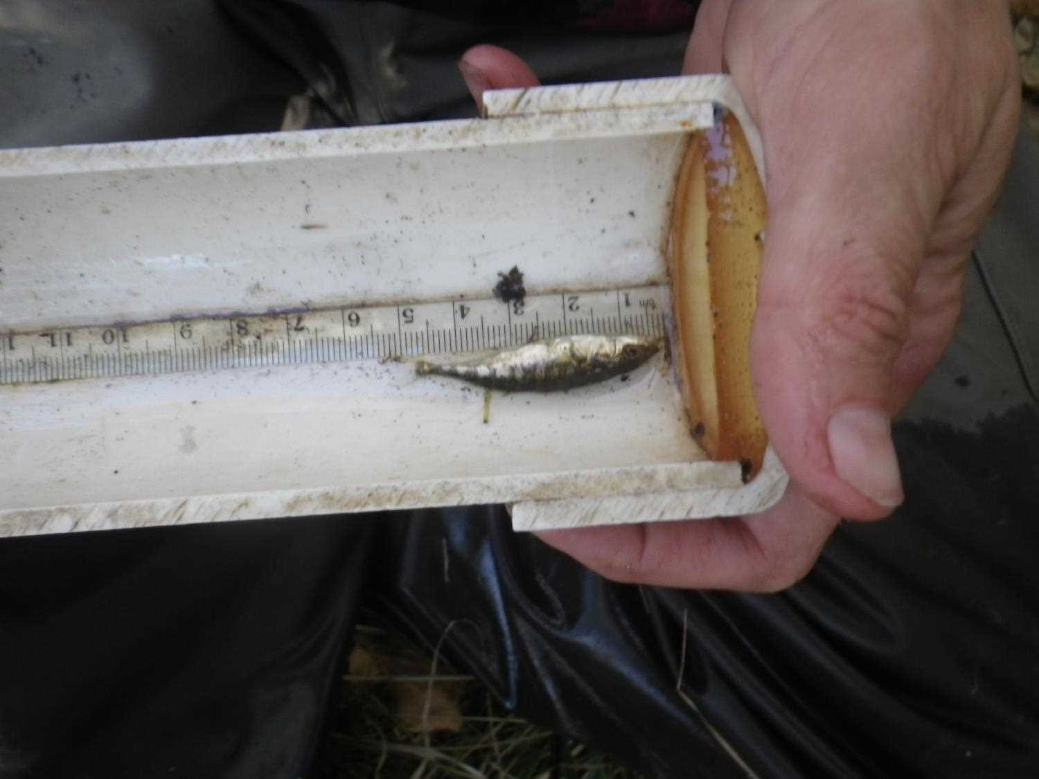
Fish Sampling Efforts
No fish sampling occurred during this survey.
Fish Observations
No fish observations occurred during this survey.
Photos

Questions or comments about this report can be directed to dfg.dsf.webmaster@alaska.gov